The best walks and hikes around Speicherbecken Borna
4.6
(6947)
20,384
hikers
688
hikes
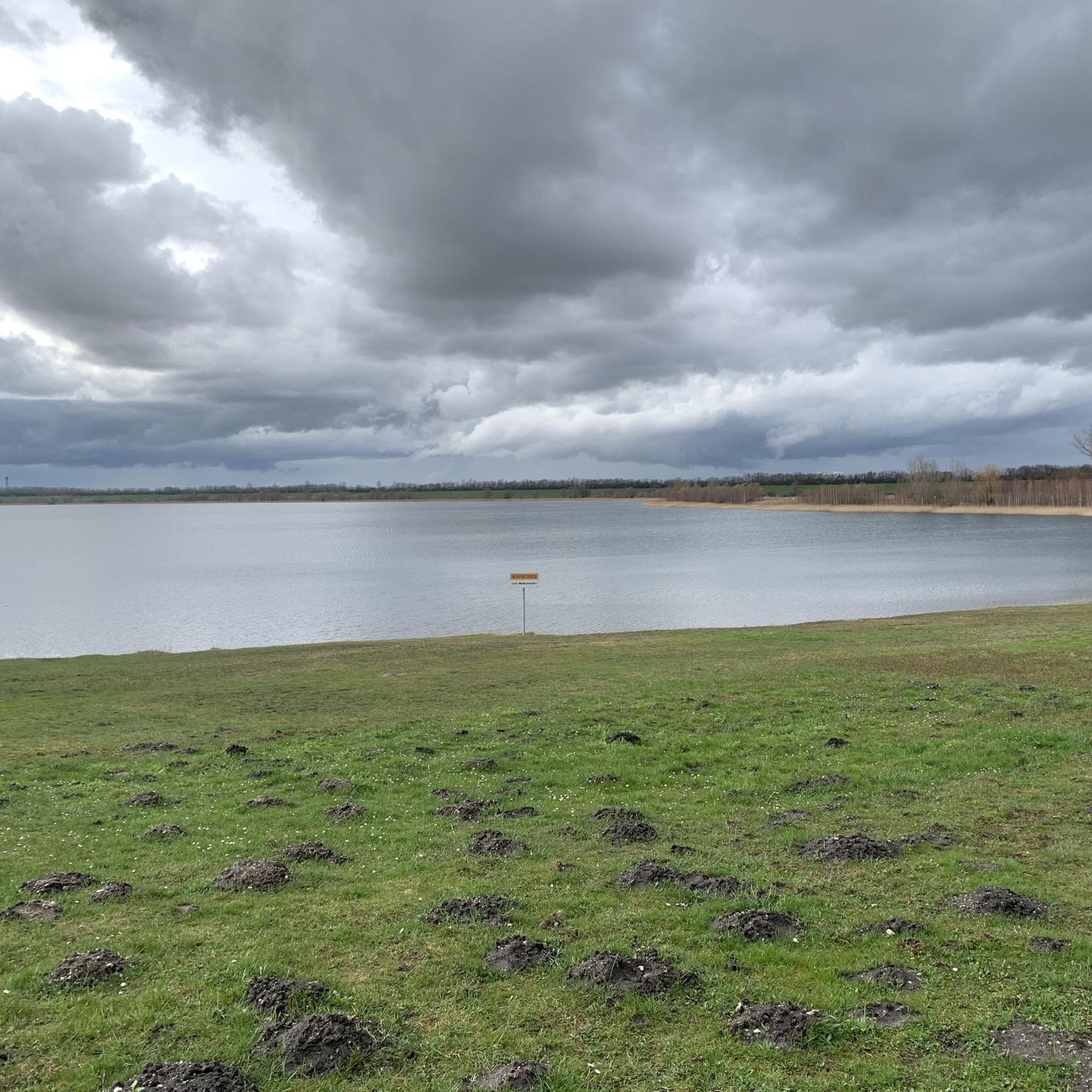
Hiking around Speicherbecken Borna offers routes through a landscape shaped by its past as a lignite mining area, now transformed into a large recreational lake. The region features mostly flat terrain, with trails winding along the lake's shores and through reclaimed natural areas. Hikers can expect views across the water, sandy sections, and paths through developing woodlands. The area provides accessible routes suitable for various activity levels.
Best hiking trails around Speicherbecken Borna
- The most popular hiking route is Information…
Last updated: October 11, 2026
4.0
(2)
7
hikers
Easy hike. Great for any fitness level. Easily-accessible paths. Suitable for all skill levels.
3.0
(1)
5
hikers
Easy hike. Great for any fitness level. Easily-accessible paths. Suitable for all skill levels.

3.7
(21)
41
hikers
12.6km
03:15
60m
60m
Moderate hike. Good fitness required. Easily-accessible paths. Suitable for all skill levels.
4.0
(3)
9
hikers
Moderate hike. Good fitness required. Easily-accessible paths. Suitable for all skill levels.
5.0
(2)
7
hikers
Moderate hike. Good fitness required. Easily-accessible paths. Suitable for all skill levels.
Get access to more routes and recommendations from other explorers.
Already have an account?
Our route recommendations are based on thousands of hikes, rides, and runs completed by other people on komoot.
Start today with a free account
Your next adventure awaits.
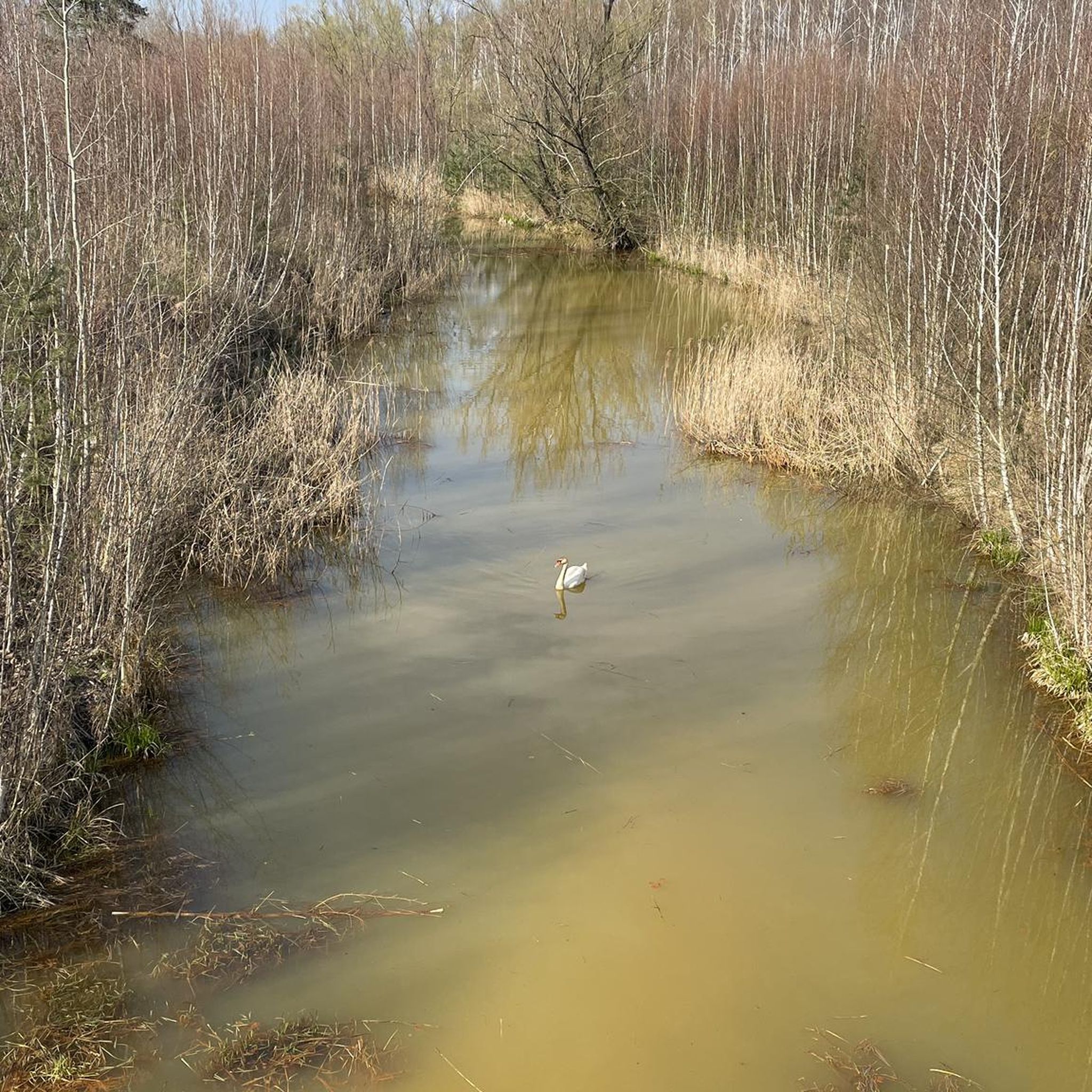
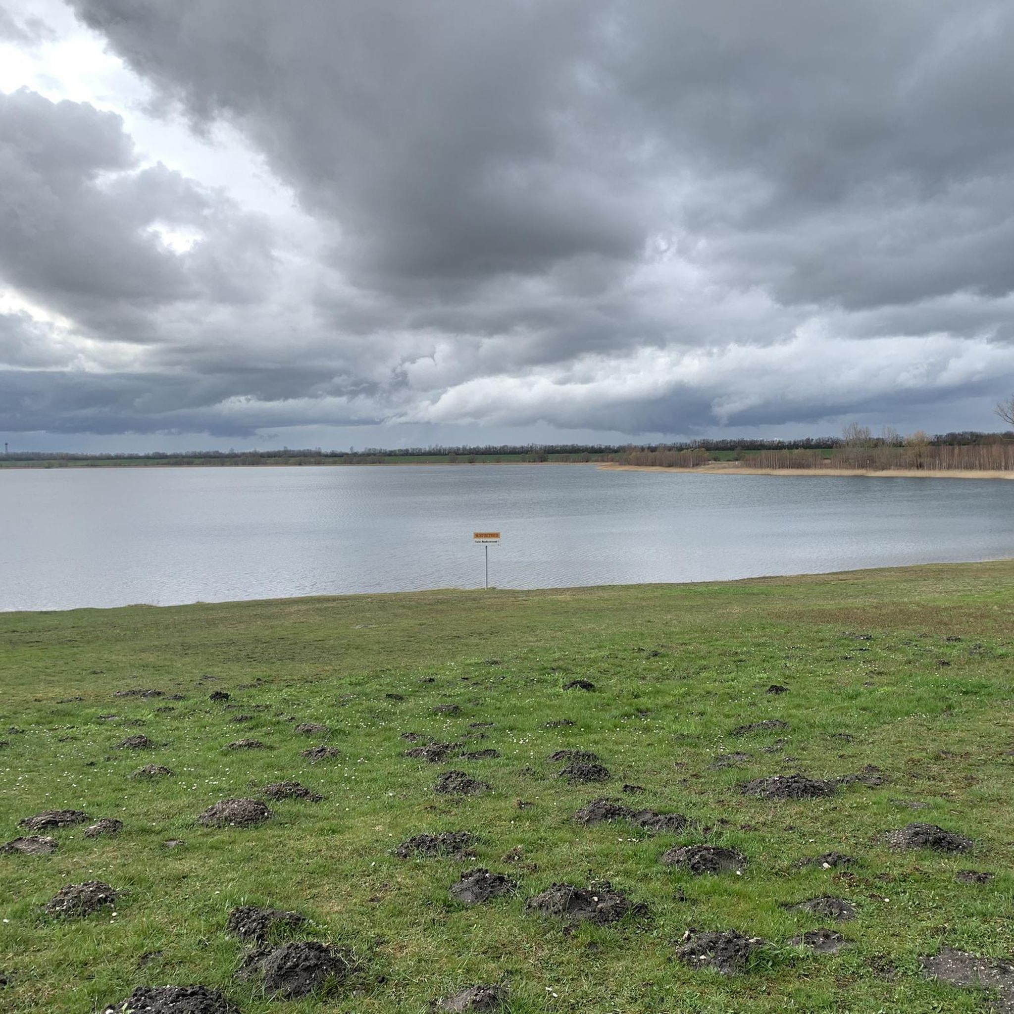
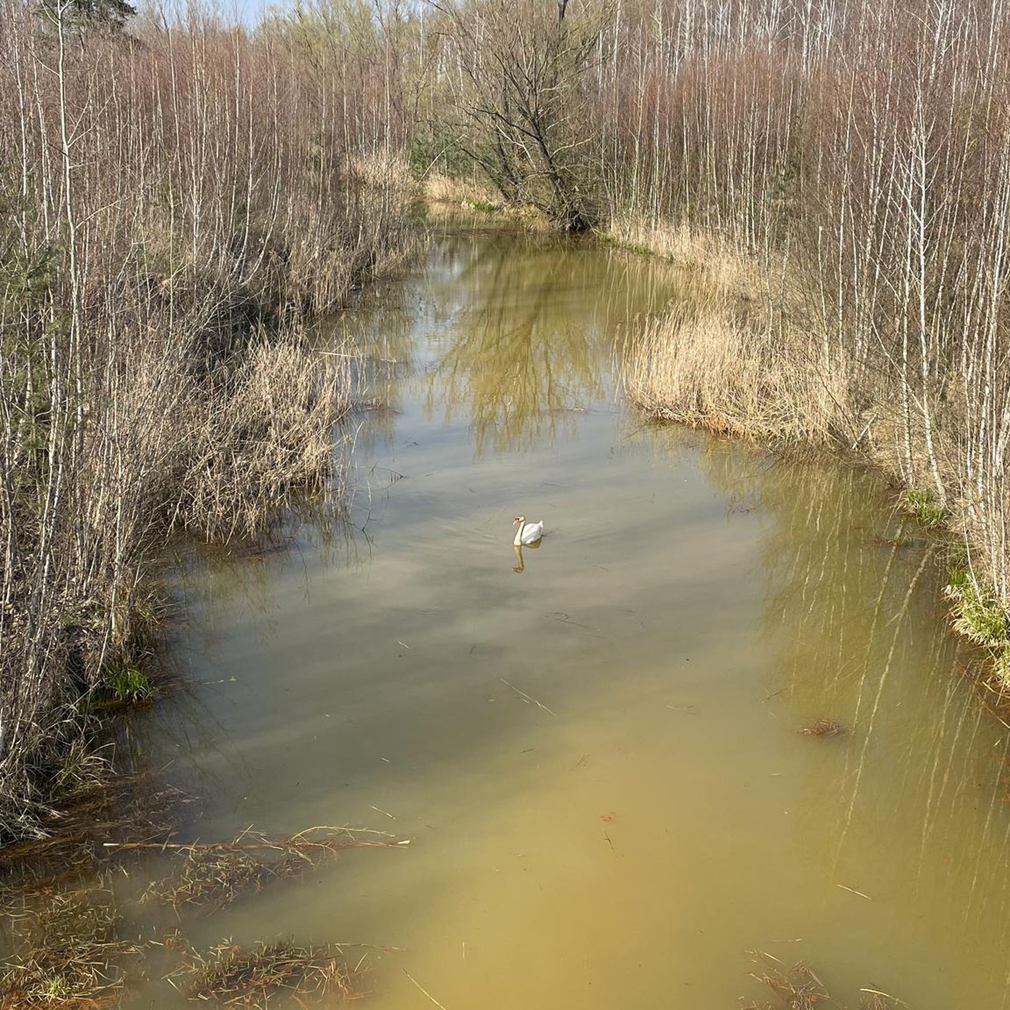
Tips from the Community


Very beautiful scenery, with lots to explore. Good bike paths and rest stops.
0
0

beautiful bay to jump into the water
0
0

If you love nature, you've come to the right place 👍
3
0

Very worth seeing, you have to see it
0
1

Please keep the area clean ✌🏻
0
1

Good source of information for hikers unfamiliar with the area - unfortunately these signs are often misused by graffiti artists...
0
0
Good source of information for hikers unfamiliar with the area - unfortunately the signs are often misused by graffiti artists...
1
0
Frequently Asked Questions
How many hiking trails are available around Speicherbecken Borna?
There are over 680 hiking routes recorded around Speicherbecken Borna on komoot. This includes a wide variety of options, with more than 420 routes classified as easy, 220 as moderate, and 30 as difficult.
Are there easy hiking trails suitable for beginners or families?
Yes, Speicherbecken Borna is known for its accessible and mostly flat terrain, making it ideal for beginners and families. Over 420 easy routes are available, many of which follow the lake's shores. A good example is the Red Sandy Beach – View of the Borna Reservoir loop from Surfclub Sachsen e.V., an easy 4.0 miles (6.4 km) path with open water views.
Can I find longer or more challenging hikes in the area?
While many trails are easy, there are also options for longer and more challenging hikes. You can find over 220 moderate routes and 30 difficult routes. For a moderate option, consider the Großer Brandsee – Gerstenbach Footbridge loop from Treben-Lehma, which covers 7.3 miles (11.7 km) and includes varied terrain.
Are there circular hiking routes around Speicherbecken Borna?
Yes, many of the hiking routes around Speicherbecken Borna are circular, allowing you to start and end at the same point. For instance, the popular Information board Speicherbecken Borna – View of Speicherbecken Borna loop from Deutzen is a 4.2 miles (6.7 km) loop offering expansive lake views.
What kind of views or natural features can I expect on the trails?
The trails primarily offer views across the large recreational lake, Speicherbecken Borna. You'll encounter sandy sections along the shorelines and paths winding through developing woodlands, reflecting the region's transformation from a former lignite mining area into a natural landscape.
Are dogs allowed on the hiking trails?
Generally, dogs are welcome on the hiking trails around Speicherbecken Borna. However, it's always recommended to keep them on a leash, especially near wildlife or other hikers, and to check for any specific local regulations or protected areas that might have restrictions.
What is the best time of year to hike around Speicherbecken Borna?
Spring and autumn offer pleasant temperatures and beautiful scenery for hiking. Summer is also popular, especially for combining hiking with water activities on the lake. Winter hiking is possible on the flat trails, but conditions may vary, so check local weather forecasts.
Are there any interesting landmarks or attractions near the hiking routes?
Yes, you can find several points of interest. Along the trails, you might encounter the Regulatable outlet structure to the Pleiße – Borna Reservoir or the Etzold Fishery Trout Farm at the Borna Reservoir. There are also narrow scenic MTB trails by the lake that hikers can explore.
Where can I park when visiting Speicherbecken Borna for a hike?
Parking is generally available at various access points around the reservoir. Look for designated parking areas near popular trailheads or recreational facilities. Specific parking information is often provided on individual route descriptions on komoot.
Is Speicherbecken Borna accessible by public transport?
While direct access to all trailheads by public transport might be limited, some towns surrounding Speicherbecken Borna, such as Borna itself, are connected by regional buses and trains. From these towns, you may be able to reach certain sections of the reservoir by walking or local transport.
What do other hikers enjoy most about hiking in Speicherbecken Borna?
The area is highly rated by the komoot community, with an average score of 4.6 stars from over 6,000 reviews. Hikers often praise the expansive lake views, the flat and accessible paths suitable for various fitness levels, and the peaceful atmosphere of the reclaimed natural areas.
Are there opportunities for wildlife spotting?
Given the region's transformation into natural areas and its proximity to water, there are opportunities to spot various bird species and other local wildlife, especially in the quieter, less developed sections of the trails and developing woodlands.
Most popular routes around Speicherbecken Borna
Most popular attractions around Speicherbecken Borna

Get inspired with the komoot mobile app


Explore more
Browse the best Hikes in other regions.
