The best MTB trails in the Pennines Mountains
4.5
(2542)
29,088
riders
859
rides
Mountain biking in the Pennines Mountains offers diverse geographical features, extensive trail networks, and varied terrain. The region is characterized by rolling hills, wild moorlands, and dramatic dales, providing a range of experiences for mountain bikers. Many routes utilize ancient packhorse trails, offering a mix of challenging climbs, thrilling descents, and scenic paths. This landscape includes a variety of surfaces, from fire roads and farm roads to rugged moorland tracks.
Best mountain bike trails in the Pennines Mountains
- The most popular mountain bike trail is Gisburn Forest: The 8, an 11.8 miles (19.0 km) trail that takes 1 hour 45 minutes to complete. This easy route features well-maintained tracks within a dedicated bike park.
- Another top favourite among local mountain bikers is The Borrowdale Bash, Keswick to Birkett's Leap, a moderate 18.1 miles (29.2 km) path. This route offers varied terrain through scenic dales and along river paths.
- Local mountain bikers also love the Whinlatter Forest loop — The Lake District National Park, a 10.4 miles (16.8 km) trail leading through dense forest, often completed in about 1 hour 37 minutes.
- Mountain biking in the Pennines Mountains is defined by rolling hills, wild moorlands, and dramatic dales. The network offers options for different ability levels, from easy forest loops to challenging climbs.
- The routes in Pennines Mountains are highly rated by the komoot community with an average score of 4.5 stars from over 2,200 reviews. More than 28,000 mountain bikers have used komoot to explore Pennines Mountains's varied terrain.
Last updated: August 17, 2026
4.7
(122)
981
riders
29.2km
02:33
710m
710m
Embark on The Borrowdale Bash, a classic mountain biking route that takes you through the diverse landscapes of the Lake District. You will cover 18.1 miles (29.2 km) and climb 2345 feet (715 metres), offering a mix of long road climbs and technical rocky descents. As you ride, you will experience stunning views of Derwent Water and the surrounding fells, with notable sights like Ashness Bridge and the dramatic backdrop of Castle Crag.
This moderate route is best suited for experienced mountain bikers, and you should plan about 2 hours and 32 minutes to complete it. While much of the trail is rideable, be ready for challenging sections. The ground generally drains well, so the route holds up in most weather conditions. Always check local conditions before you head out.
The Borrowdale Bash is a well-known route in the Lake District, offering a memorable experience for those who enjoy varied terrain. It provides a true challenge for mountain bikers looking to explore the natural beauty and ruggedness of the area. This trail stands out for its combination of scenic beauty and technical riding opportunities.
4.8
(102)
1,487
riders
19.0km
01:45
270m
270m
Gisburn Forest: The 8 offers an easy mountain biking experience, but it's best enjoyed if you have good off-road skills. You will navigate 11.8 miles (19.0 km) of varied terrain, including forest roads and singletrack, gaining 895 feet (273 metres) of elevation. The route winds through twisting forests and open moors, providing panoramic views, especially from Whelpstone Crag as you overlook Stocks Reservoir. This ride, which takes about 1 hour and 45 minutes to complete, combines rewarding sections with optional black-grade challenges like Hully Gully and Bigfoot Slab if you are looking for more technical descents.
To begin your adventure, head to the Gisburn Forest Hub, which serves as the starting point for all the trails. Here, you will find convenient facilities including a café, a bike shop for any last-minute needs, a car park, and toilets. The unique figure-of-eight layout of the trail allows you to combine different sections, giving you flexibility in your ride. You can also use the skills loops available at the hub to warm up or practice before tackling the main route.
This trail is a highlight within the beautiful Forest of Bowland, offering a diverse landscape that changes from dense woodlands to expansive open moors. The route incorporates various features like boardwalks and rocky sections, adding to the dynamic nature of the ride. Keep an eye out for the stunning vistas from elevated points, which truly showcase the natural beauty of the area and make this route a memorable one for mountain bikers.

Sign up for free
4.8
(29)
1,077
riders
16.8km
01:37
420m
420m
Mountain biking through Whinlatter Forest offers a challenging experience on England's only true mountain forest trails. This difficult 10.4 miles (16.8 km) loop takes about 1 hour and 37 minutes to complete, climbing 1376 feet (419 metres) through varied terrain. You will navigate purpose-built singletrack, featuring berms, jumps, and rock features, with steep climbs leading to exhilarating descents. As you ride, you will encounter dramatic mountain vistas, including views of the Skiddaw massif and Grisedale Pike ridge-line, along with glimpses of Derwentwater and Bassenthwaite. The route combines forested sections with open areas, ensuring the views remain a constant highlight.
When you plan your visit, you will find Whinlatter Forest well-equipped for mountain bikers. The trail center provides convenient amenities, including bike hire if you need it, a visitor center for information, and a cafe for refreshments. You will also find toilets and ample parking available on site. These facilities make it easy to prepare for your ride and relax afterwards.
Whinlatter Forest stands out as England's only mountain forest, offering a unique setting for mountain biking. It is home to the Altura Trail, which holds the distinction of being the longest purpose-built mountain bike trail in the Lake District. The forest provides a variety of trails, from the red-graded Altura for experienced riders to the blue-graded Quercus Trail for intermediate skill levels. These well-maintained, purpose-built trails, combined with the constant mountain views, make this a notable destination in the region.
4.7
(19)
189
riders
49.5km
04:30
1,080m
1,080m
Get ready for a difficult mountain biking adventure on the Skiddaw, Whitewater Dash and Caldrew Trail loop. This challenging route covers 30.8 miles (49.5 km) with a significant 3549 feet (1082 metres) of elevation gain, typically taking around 4 hours and 29 minutes to complete. You'll navigate varied terrain, from flowing singletrack to technical sections of loose rock, all while enjoying incredible views of the ancient Skiddaw massif and passing the dramatic Whitewater Dash waterfall.
This difficult mountain biking route requires advanced riding skills and very good fitness; expect to push your bike on some extremely steep ascents. The Caldew Trail section can become boggy in winter, so plan your ride for drier months to avoid the worst conditions. Given the remote sections, always carry proper equipment, including maps and a compass, especially if visibility changes quickly.
Explore a truly wild Lake District experience as you venture into remote areas like the upper Caldew valley, known for its sense of wilderness and solitude. The Skiddaw massif itself is formed by ancient volcanoes, adding a unique geological context to your ride. This trail offers a deep dive into the rugged, untamed beauty that defines this part of the national park.
4.0
(25)
180
riders
39.5km
03:40
910m
920m
Embark on The Howgill Fells and Bowderdale loop, a difficult mountain biking adventure renowned for its challenging terrain and exceptional singletrack. This 24.6-mile (39.5 km) route, with a significant 3001 feet (915 metres) of elevation gain, typically takes around 3 hours and 40 minutes to complete. You will experience magnificent panoramic vistas, with views stretching to the Lake District and Pennines from high points like The Calf. The landscape, famously described as a 'herd of sleepy elephants' by Alfred Wainwright, features rolling, grass-covered hills and isolated fells. The highlight is the 5-kilometre Bowderdale descent, a varied and technical singletrack section that demands skill and concentration. Expect a mix of steep, stony climbs, grassy tracks that can become muddy, and river crossings. This route offers a true sense of isolation through its remote sections. If you are looking for a serious mountain biking experience, this loop delivers.
This loop is considered a hard mountain bike ride, requiring very good fitness and advanced riding skills. Be prepared for rapidly changing weather conditions, as the route goes into remote terrain where mobile phone signal may be absent. Some parts of the initial ascent out of Sedbergh can be steep and long, potentially requiring you to push your bike. River crossings might be impassable in very wet conditions, so check local forecasts before you go. Allow ample time for your ride, as the estimated duration can vary based on conditions and your pace.
The Howgill Fells and Bowderdale loop stands out for its exceptional singletrack, particularly the Bowderdale descent, which is widely regarded as one of the best in the UK outside of dedicated trail centers. Unlike some busier trails, this route offers a natural and remote feel, providing an 'old school' mountain biking experience through deserted mountain valleys. It is a challenging and rewarding route that showcases both the exposed, Cumbrian character of the fells and the softer, more interactive feel of the Dales. This diverse experience makes it a truly notable ride for experienced mountain bikers seeking an epic day out.
4.7
(26)
199
riders
24.1km
02:01
520m
520m
Embark on the Tour of Nidderdale, a classic mountain biking route that takes you through the diverse landscapes of the Nidderdale National Landscape. This moderate 15.0-mile (24.1 km) ride features a significant 1706 feet (520 metres) of elevation gain, typically completed in about 2 hours and 1 minutes. You will encounter a mix of stony tracks high above the valley, remote moorland, and softer farmland sections. Prepare for both challenging climbs and exhilarating descents, including the technical Scar House Descent. Along the way, enjoy expansive views across Scar House Reservoir, with the impressive Great Whernside peak often in sight.
When planning your ride, note that the Tour of Nidderdale is often considered an all-weather classic, meaning you can typically enjoy it regardless of the season. Parking is generally available near Scar House Reservoir, which serves as a common starting point for the route. While the route is robust, be prepared for loose and rocky sections, particularly on the descents, which require careful handling. Always check local conditions before heading out to ensure a safe and enjoyable experience.
This route is a well-regarded local favorite, celebrated for its varied terrain and the rewarding challenge it presents to mountain bikers. It offers a true immersion into the natural beauty of the Nidderdale National Landscape, showcasing its unique blend of high moorland and pastoral valleys. The combination of demanding climbs and thrilling descents makes it a standout option for those seeking a dynamic and memorable ride in the region.
3.7
(15)
86
riders
37.6km
03:44
1,020m
1,020m
Tackle the High Street to Patterdale loop, a difficult mountain biking route in the Lake District known for its challenging terrain and panoramic views. This formidable 23.3-mile (37.6 km) trail features significant elevation changes, including big climbs with gradients up to 17 percent and technical descents over loose rocks, slabs, and rock gardens. You will gain 3360 feet (1024 metres) of elevation, with incredible vistas from the High Street ridge and lovely views of Ullswater along the way. Expect to spend around 3 hours and 44 minutes on this demanding ride.
This route is best suited for fit and experienced mountain bikers with advanced riding skills. Be prepared for hike-a-bike sections, particularly on the ascent from Hayeswater to the High Street ridge and near Boredale Hause. The trail can be boggy when wet, so it is recommended to ride it when conditions are dry or frozen. Always ensure your bike is in good working order and carry enough food, water, and equipment for the journey.
The High Street to Patterdale loop is considered a classic Lake District mountain biking route, with many enthusiasts suggesting it is a must-do. The trail's name, High Street, comes from the ancient Roman road that once traversed this area. You will experience some of Lakeland's most exciting low-level trails before heading over the ridge, including one of the longest descents in the area down to Howtown.
4.5
(28)
137
riders
22.6km
01:53
410m
410m
Embark on the Bingley Bash, a popular mountain bike loop that takes you through the varied Yorkshire countryside. This moderate route covers 14.1 miles (22.6 km) with 1361 feet (415 metres) of elevation gain, typically completed in 1 hour and 53 minutes. You will experience a mix of rolling hills, expansive moorlands, and dense woodlands, often alongside the River Aire and the Leeds & Liverpool Canal. Expect a highly varied terrain, including rocky, rooty, and flowy singletrack sections, as well as drops, mud, and gravel.
While the Bingley Bash is rideable year-round, be prepared for some sections to become particularly muddy in winter. The trail is rated as moderate by Komoot, but it does require good fitness and advanced riding skills, with quick descents and hard climbs. You will be sharing public bridleways with walkers and horse riders, so courteous riding is essential. Some portions of the route may even require you to dismount and push your bike.
Known as one of the
4.1
(14)
173
riders
14.0km
01:59
720m
720m
Tackle the challenging Sticks Pass to Whiteside Fell trail in the Lake District, a mountain biking adventure spanning 8.7 miles (14.0 km) with a significant 2362 feet (720 metres) of elevation gain. This route, typically completed in around 1 hour and 59 minutes, is rated as moderate to hard, demanding good fitness and advanced riding skills. You'll experience diverse terrain, from wide-open exposed sections at the summit offering 360-degree panoramic views, to narrower, heather-lined singletrack and steep, rocky switchbacks, including a precipitous scree slope leading into Glenridding. Prepare for sections described as "moonscape rocky" where you'll need to pick your own lines.
Planning your ride requires acknowledging the trail's technical demands; some portions, especially the climb up Keppel Cove, may necessitate hike-a-biking where you push or carry your bike. The route features challenging rock gardens, sweeping turns, and bouldery sections, alongside a few fords and tricky corners. Given its S2 to S6 rating on the Single Track Scale, with some parts considered black difficulty alpine singletrack, ensure you are prepared for a demanding ride.
Sticks Pass is celebrated as one of the Lake District's premier mountain biking descents, offering a sublime natural experience. The trail's unique blend of fast, open sections at the top transitioning into hugely fun switchbacks, combined with glimpses of disused mines, makes it a memorable ride. It's considered by many to be everything a mountain biker could want and more, providing a true test of skill and endurance amidst stunning natural beauty.
4.0
(4)
24
riders
29.1km
03:49
1,470m
1,480m
The Helvellyn loop in the Lake District offers a challenging mountain biking experience, known for its dramatic scenery and technical demands. This difficult 18.1-mile (29.1 km) route features panoramic views from glaciated peaks, including high-level views of Red Tarn and impressive mining landscapes. You will gain 4836 feet (1474 metres) in elevation, with the ride typically taking around 3 hours and 49 minutes to complete. Be prepared for varied and often arduous terrain, including steep, rocky ascents and descents with boulders and tight corners. You can expect to push or carry your bike on sections like Dollywagon Pike, which has set stones and drainage ditches. The descent via Sticks Pass also features rough ground and sudden drops. The route combines unpaved, asphalt, gravel, natural, and alpine surfaces, and trails can be wet even in summer. From the summit on a clear day, you might see Windermere, Coniston Water, and the Langdale Pikes. This ride is not recommended for beginners. It demands very good fitness and advanced riding skills, with some sections rated S3-S6 on the Singletrack Trail Scale. The Comb Crags descent can become extremely icy in winter due to lack of sun exposure. The Helvellyn loop is notable as one of England's premier mountain biking rides, largely because Helvellyn has the highest legal bridleway to a summit in the country. It offers an exhilarating day of technical mountain travel. The descent down Sticks Pass is often highlighted as one of the best in the Lake District, known for its fun switchbacks. The Helvellyn massif is also famous for its dramatic horseshoe ridge, which includes the iconic Striding Edge and Swirral Edge, providing an epic backdrop to your ride.
Get access to more routes and recommendations from other explorers.
Sign up for free
Already have an account?
Our route recommendations are based on thousands of hikes, rides, and runs completed by other people on komoot.
Start today with a free account
Your next adventure awaits.
Login or Signup
Popular around Pennines Mountains
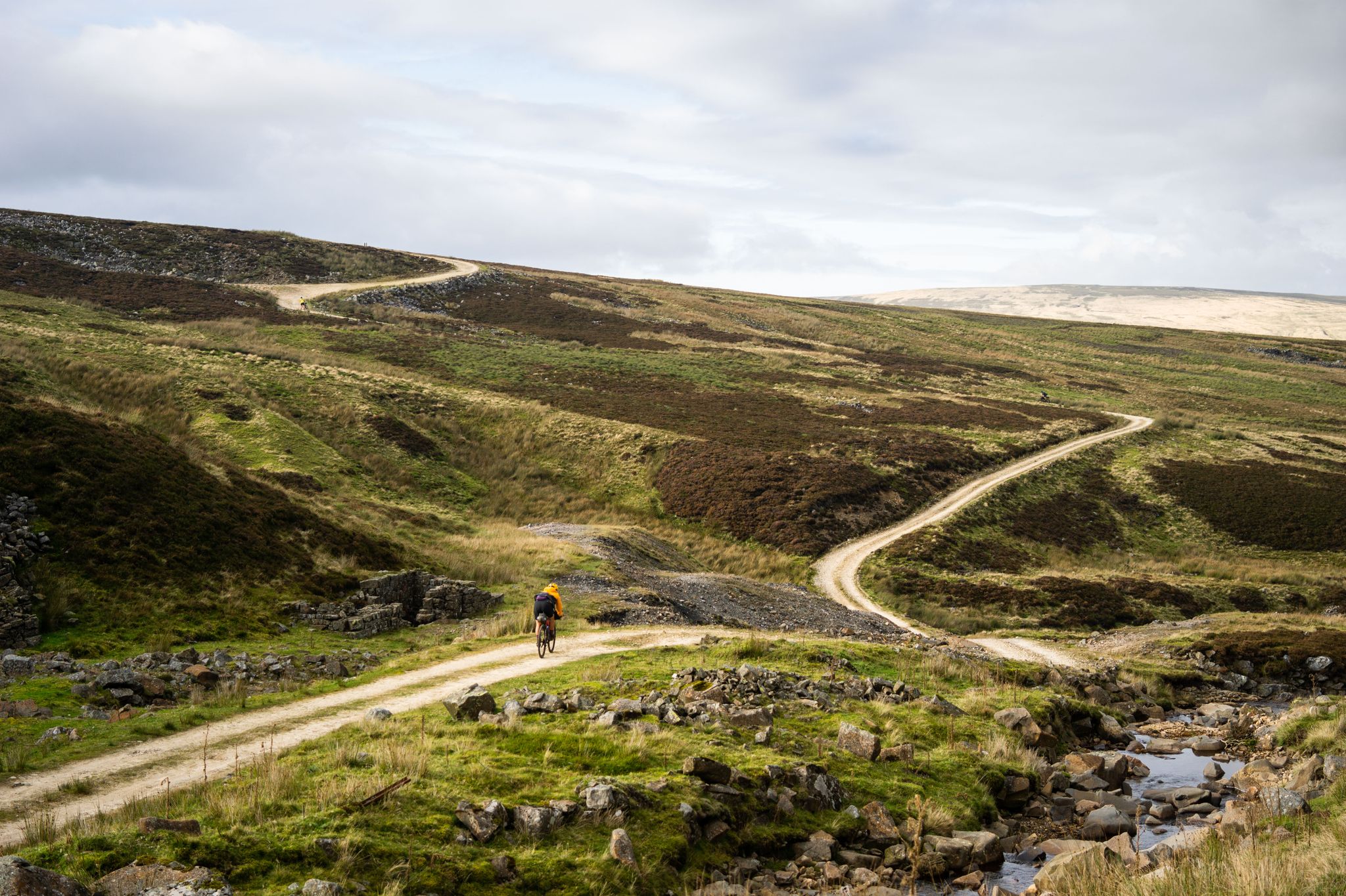
Second City Divide — Rough Stuff Of The North
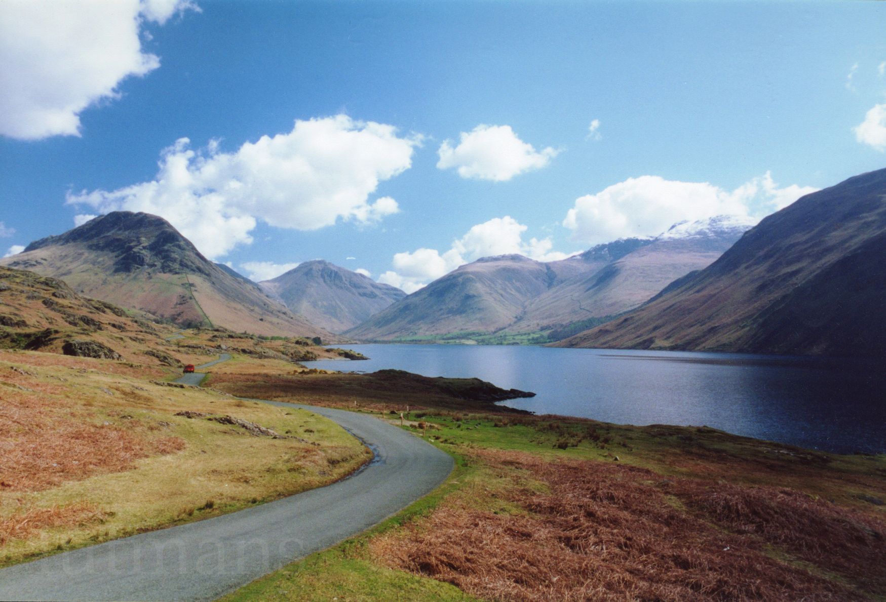
Lakeland 300 — Bikepacking in the hills of the Lake District
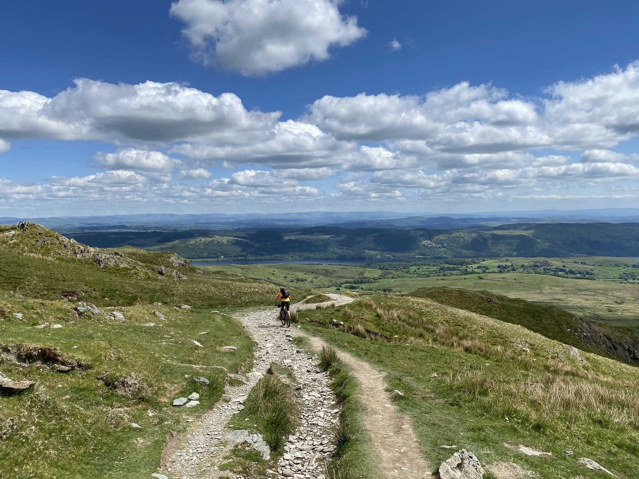
Tim Woodcock's Coast to Coast off-road route – Lakes, Dales and Moors
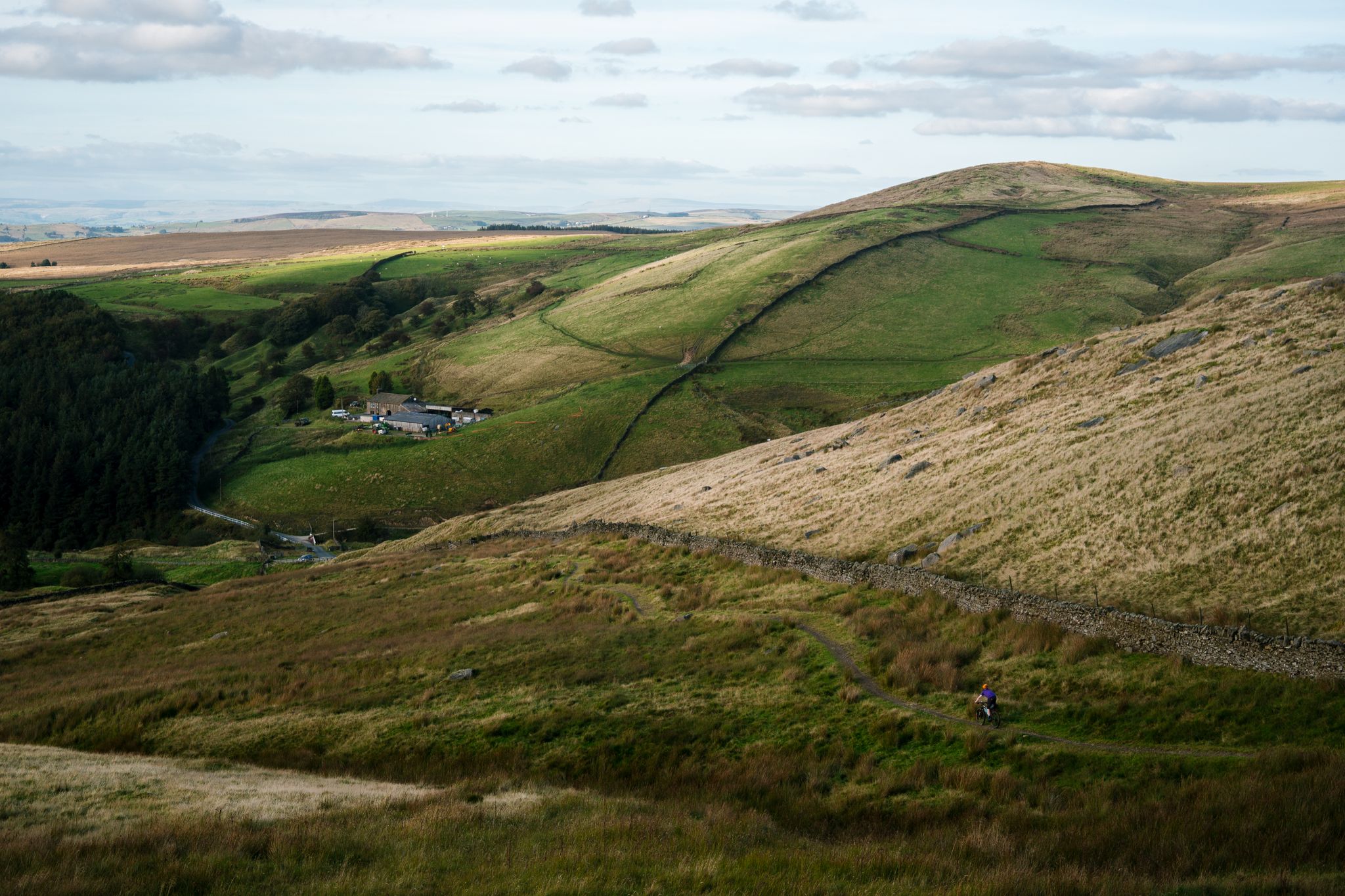
Great North Trail — From the Pennine Hills to the tip of Scotland
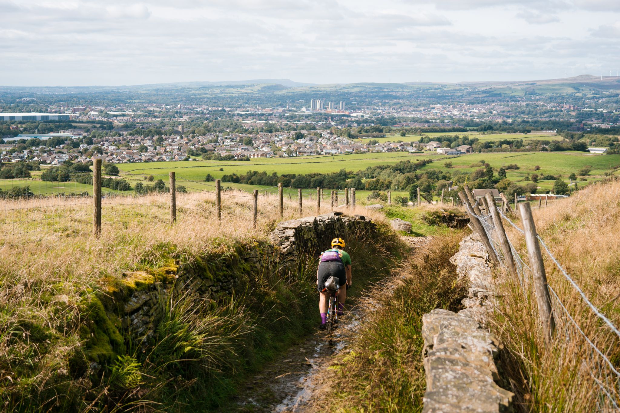
The Pennine Bridleway — Climbing the 'backbone of England'
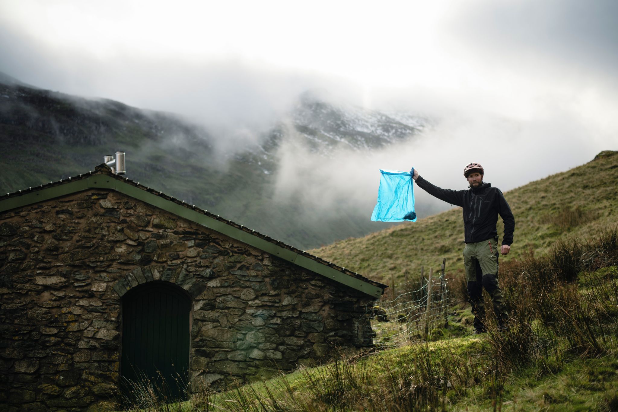
The Trash Free Trails Autumn Litter Watch
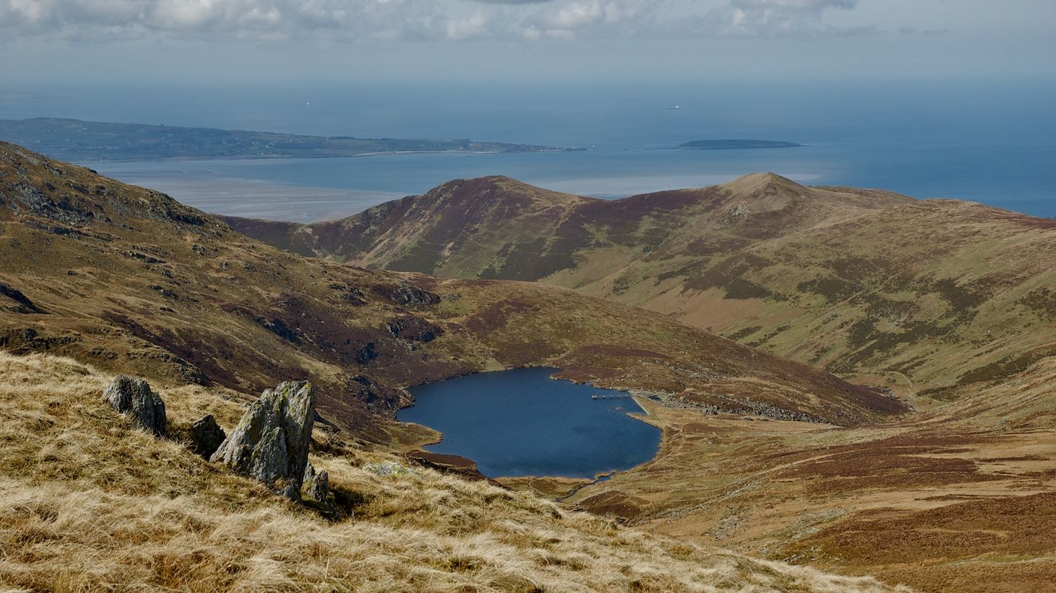
Clear rivers, fresh lakes and waterfalls — British wild swim spots by bike
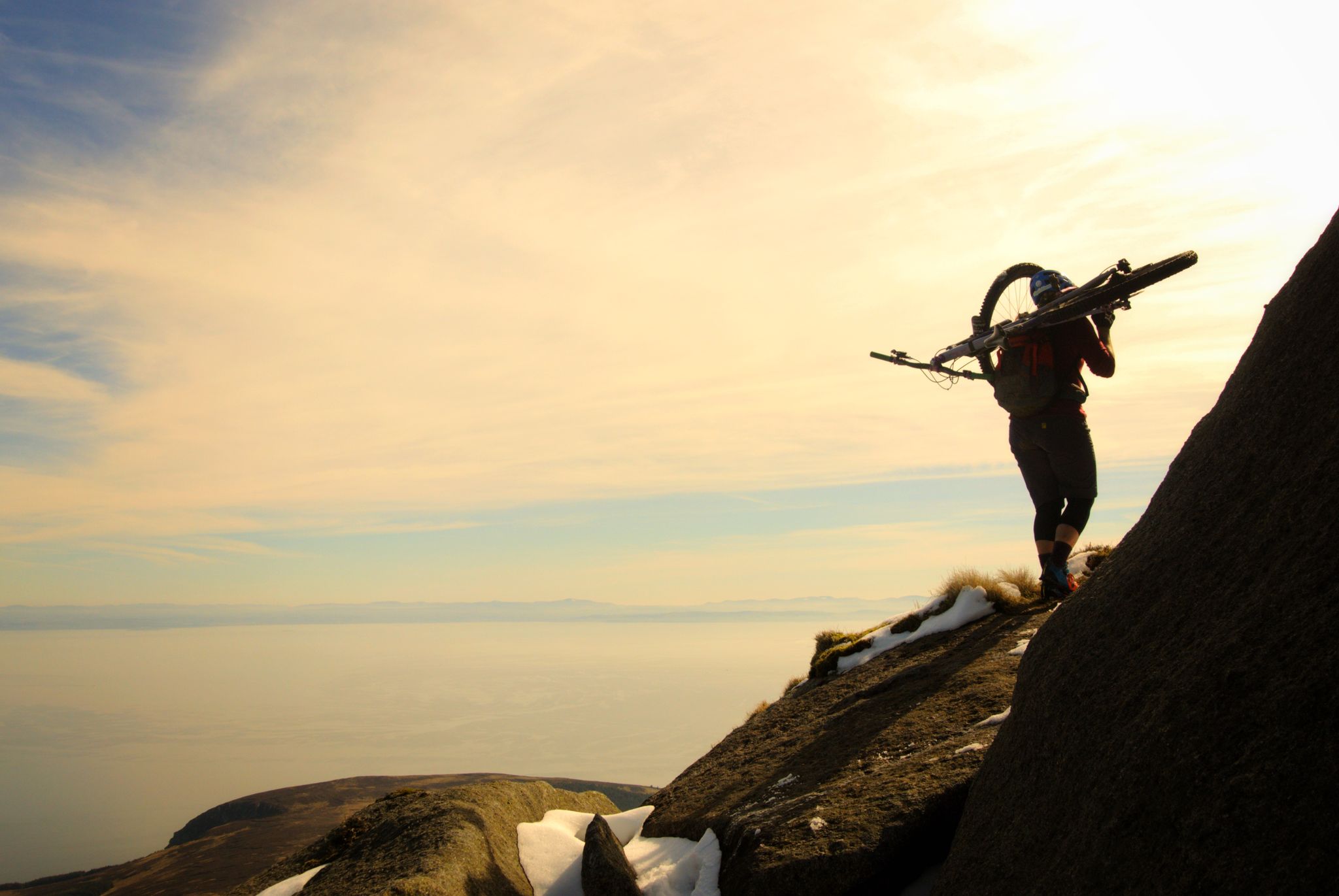
Hike-a-bike is alright – my 7 favourite UK "earn your descents rides"
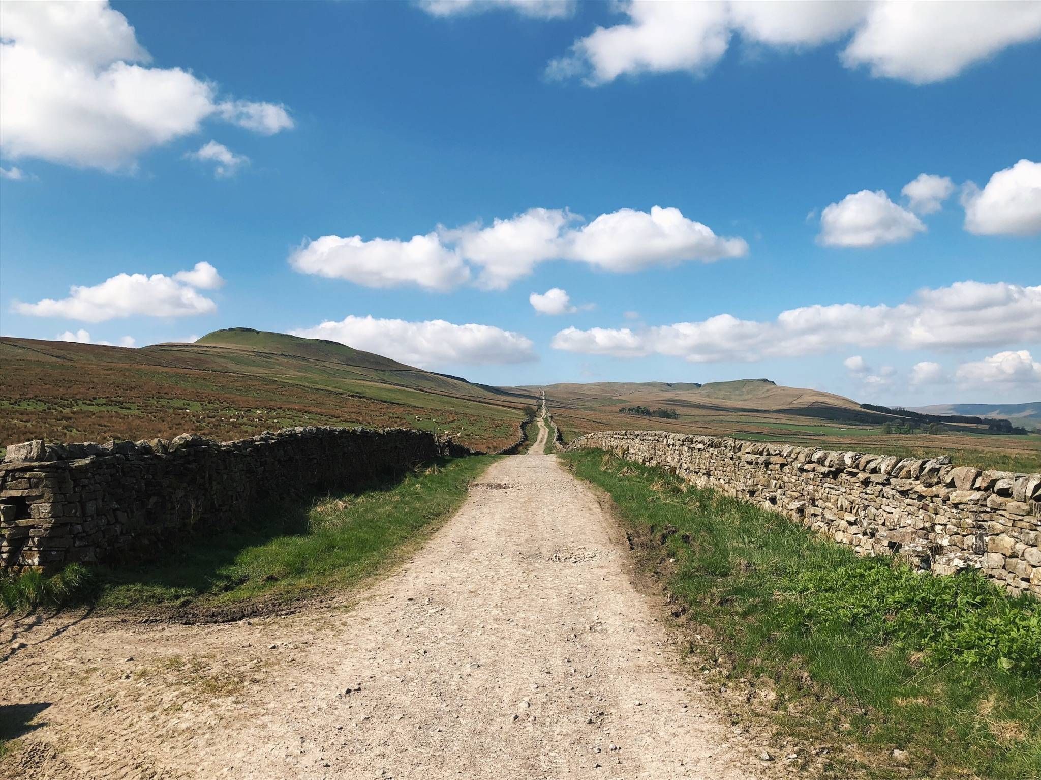
Roman Roads & Sublime Singletrack — The Yorkshire Dales 300
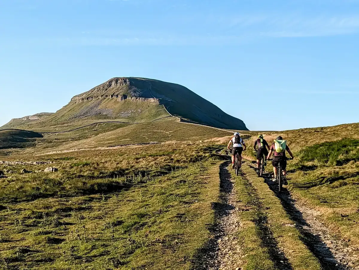
The Yorkshire Dales by mountain bike
Other adventures in the Pennines Mountains


Tips from the Community

The Cockpit is a 3,500–5,000-year-old Bronze Age stone circle (27m diameter) located on Moor Divock in the Lake District National Park, overlooking Ullswater. It features roughly 70–75, mainly recumbent, stones set into a circular embankment, likely serving as a prehistoric gathering place. It is accessible via walking trails from Askham or Pooley Bridge.
0
0

Tried this descent today in poor weather on a bikes with big flat pedals. Bottom lines is we really struggled. The route is very narrow and rutted resulting in multiple pedal strikes to the point it was largely unridable. No evidence of other bikes trying it recently either. I couldn’t pedal for the 2.5 miles from the top. This is the only time a descent has taken longer than the ascent.
0
0

If you are on anything less than a full suspension MTB - 75% of this section is not rideable…!
0
0

Ok, so it’s not an easy ride up as it has narrow and rocky sections. However a committed intermediate level rider should at least enjoy the bits they can ride, and the views across the valley and up to Skiddaw House make it a worthwhile climb, even when pushing the bike. We did it in summer, so imagine it’s trickier in winter.
1
0


On an eMTB this route is 100% rideable up to the flat section between Raise and Whiteside Bank. The only thing that will stop you is a lack of traction on the tight switchbacks.
0
0

White Side 863m / 2830ft is situated to the east of Thirlmere and to the west of Glenridding valley
0
0
Frequently Asked Questions
How many mountain bike trails are available in the Pennines Mountains?
The Pennines Mountains offer a vast network for mountain bikers, with over 880 routes available on komoot. These trails cater to various skill levels, including 147 easy, 583 moderate, and 156 difficult options.
What is the best time of year for mountain biking in the Pennines?
Spring and summer are generally recommended for mountain biking in the Pennines due to milder and drier weather conditions. While some trails are accessible year-round, winter can bring mud and snow, making conditions more challenging.
What kind of terrain can I expect on mountain bike trails in the Pennines?
The Pennines offer a diverse range of terrain, from challenging climbs and thrilling descents to more gentle, scenic routes. Riders can expect a mix of surfaces including fire roads, farm roads, rolling tarmac, and rugged moorland tracks. Many trails utilize ancient packhorse routes, adding a historical element to your ride.
Are there family-friendly mountain bike trails in the Pennines?
Yes, the Pennines have options suitable for families. Areas like Gisburn Forest are known for well-maintained trails with varying difficulty levels, including easier sections perfect for family outings. While not exclusively family-focused, routes like Gisburn Forest: The 8 are rated as easy and can be a good starting point.
Are there mountain bike trails in the Pennines that are suitable for dogs?
Many trails in the Pennines are dog-friendly, especially those on public bridleways and open access land. However, it's always advisable to keep dogs under close control, particularly on moorland where ground-nesting birds and livestock may be present. Check local signage for specific restrictions, especially in dedicated bike parks or nature reserves.
What are some notable natural attractions or landmarks I might see while mountain biking?
The Pennines are rich in natural beauty. You might encounter dramatic dales, wild moorlands, and impressive waterfalls. Highlights include England's biggest waterfall, High Force, and others like Aira Force. The North Pennines is also a designated National Landscape and a UNESCO Global Geopark, recognized for its unique geology and dark skies.
Are there challenging mountain bike trails for experienced riders in the Pennines?
Absolutely. The Pennines offer 156 difficult mountain bike routes for experienced riders seeking a challenge. Trails like Skiddaw, Whitewater Dash and Caldrew Trail loop and The Howgill Fells and Bowderdale loop feature significant elevation gains and technical sections, providing a demanding ride through the rugged landscape.
Are there circular mountain bike routes in the Pennines?
Yes, many mountain bike routes in the Pennines are designed as circular loops, allowing you to start and finish at the same point. Examples include Tour of Nidderdale and Bingley Bash — Bingley and Cullingworth loop, which offer varied terrain and scenic views.
What do other mountain bikers enjoy most about the Pennines Mountains?
The Pennines Mountains are highly rated by the komoot community, with an average score of 4.5 stars from over 2,200 reviews. Mountain bikers often praise the region's diverse terrain, from rolling hills and wild moorlands to dramatic dales, and the extensive network of trails that cater to all skill levels. The breathtaking natural beauty and the historical element of ancient packhorse routes are also frequently highlighted.
Are there mountain bike trails accessible by public transport in the Pennines?
While many trails in the Pennines are best accessed by car, some areas, particularly around towns and villages, may offer public transport links. For specific routes, it's recommended to check local bus or train services to nearby trailheads. Larger towns like Todmorden and Hebden Bridge, which are known for their mountain biking, often have better public transport connections.
Are there amenities like cafes or pubs near mountain bike trails in the Pennines?
Yes, many areas in the Pennines offer amenities for mountain bikers. Charming stone-built villages like Blanchland and Allendale, often found near trail networks, provide local pubs and independent shops. Dedicated bike parks such as Gisburn Forest also typically have facilities like cafes and parking. It's a good idea to research specific trailheads for nearby services.
Most popular routes in the Pennines Mountains
Most popular attractions in the Pennines Mountains

Get inspired with the komoot mobile app


Explore more
Browse the best MTB trails in other regions.
