The best walks and hikes in the Pennines Mountains
4.6
(51038)
449,062
hikers
6,989
hikes
Hiking in the Pennines Mountains offers diverse landscapes characterized by expansive open heather moors, peatlands, and river-carved dales. The region features tumbling rivers, waterfalls like High Force, and distinctive geological formations including limestone structures and U-shaped valleys. Fells and peaks, such as Cross Fell, define the terrain, providing varied elevation for hikers.
Best hiking trails in the Pennines Mountains
- The most popular hiking route is Yorkshire Three Peaks Challenge, a 25.2 miles (40.6 km) trail that takes about 12…
Last updated: August 30, 2026
4.8
(538)
5,128
hikers
7.81km
02:03
60m
60m
Moderate hike. Good fitness required. Mostly accessible paths. Sure-footedness required.
4.8
(446)
3,795
hikers
Hard hike. Very good fitness required. Sure-footedness, sturdy shoes and alpine experience required.

Sign up for free
4.8
(508)
3,985
hikers
17.7km
06:01
890m
890m
Hard hike. Very good fitness required. Mostly accessible paths. Sure-footedness required.
4.7
(397)
5,447
hikers
40.6km
12:40
1,420m
1,420m
Hard hike. Very good fitness required. Mostly accessible paths. Sure-footedness required.
4.7
(500)
3,941
hikers
17.3km
04:45
260m
260m
Moderate hike. Good fitness required. Easily-accessible paths. Suitable for all skill levels.
4.8
(329)
3,825
hikers
7.31km
02:13
160m
160m
Moderate hike. Good fitness required. Mostly accessible paths. Sure-footedness required.
4.9
(397)
3,343
hikers
10.7km
03:26
450m
450m
Moderate hike. Good fitness required. Easily-accessible paths. Suitable for all skill levels.
4.9
(405)
1,966
hikers
7.09km
02:27
360m
360m
Moderate hike. Good fitness required. Easily-accessible paths. Suitable for all skill levels.
4.9
(391)
3,299
hikers
9.97km
03:14
440m
440m
Moderate hike. Good fitness required. Easily-accessible paths. Suitable for all skill levels.
4.9
(445)
2,894
hikers
6.96km
02:16
300m
300m
Moderate hike. Good fitness required. Mostly accessible paths. Sure-footedness required.
Get access to more routes and recommendations from other explorers.
Sign up for free
Already have an account?
Our route recommendations are based on thousands of hikes, rides, and runs completed by other people on komoot.
Start today with a free account
Your next adventure awaits.
Login or Signup
Popular around Pennines Mountains
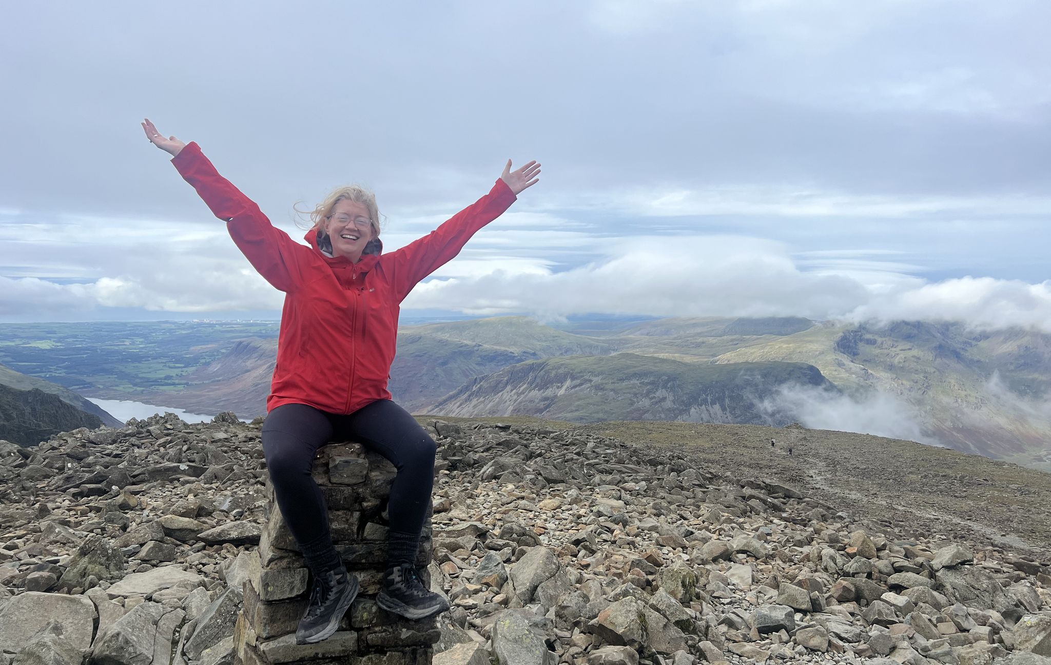
Lake District National Park – A Walk in the Parks
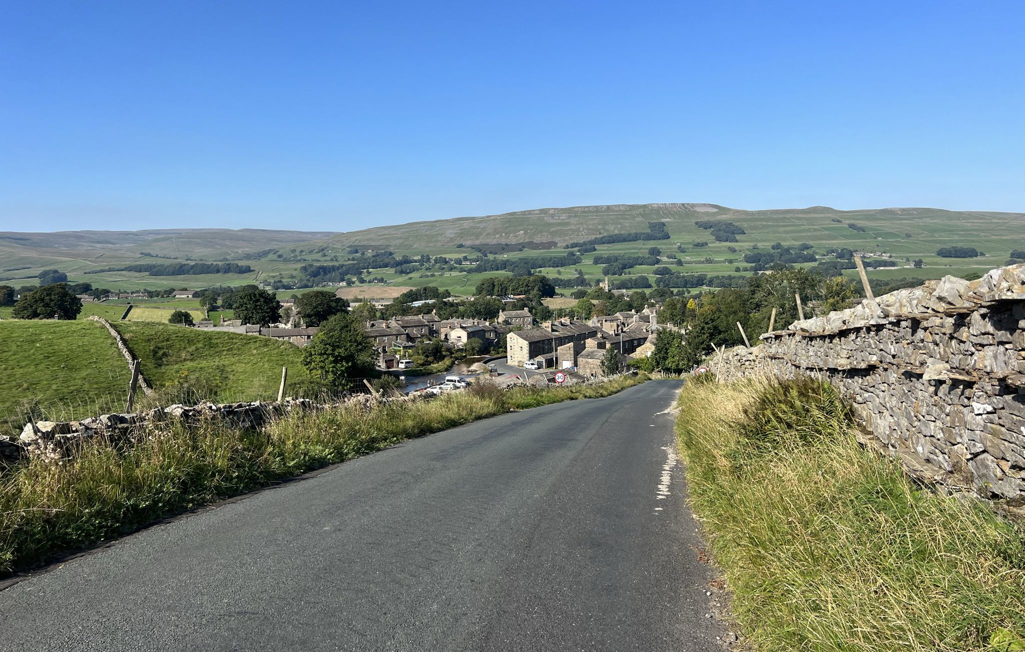
Yorkshire Dales National Park – A Walk in the Parks
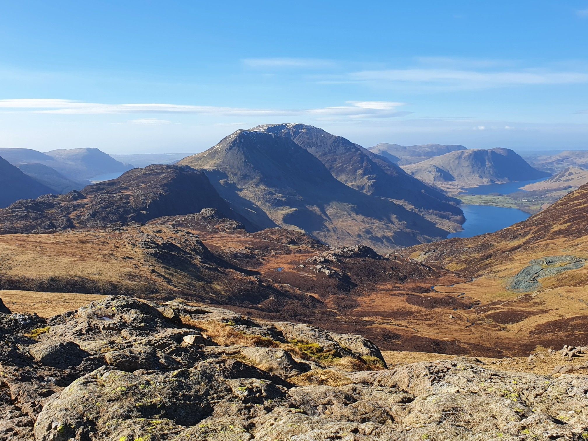
Cumbrian Traverse – A sublime high-level hike across Lakeland
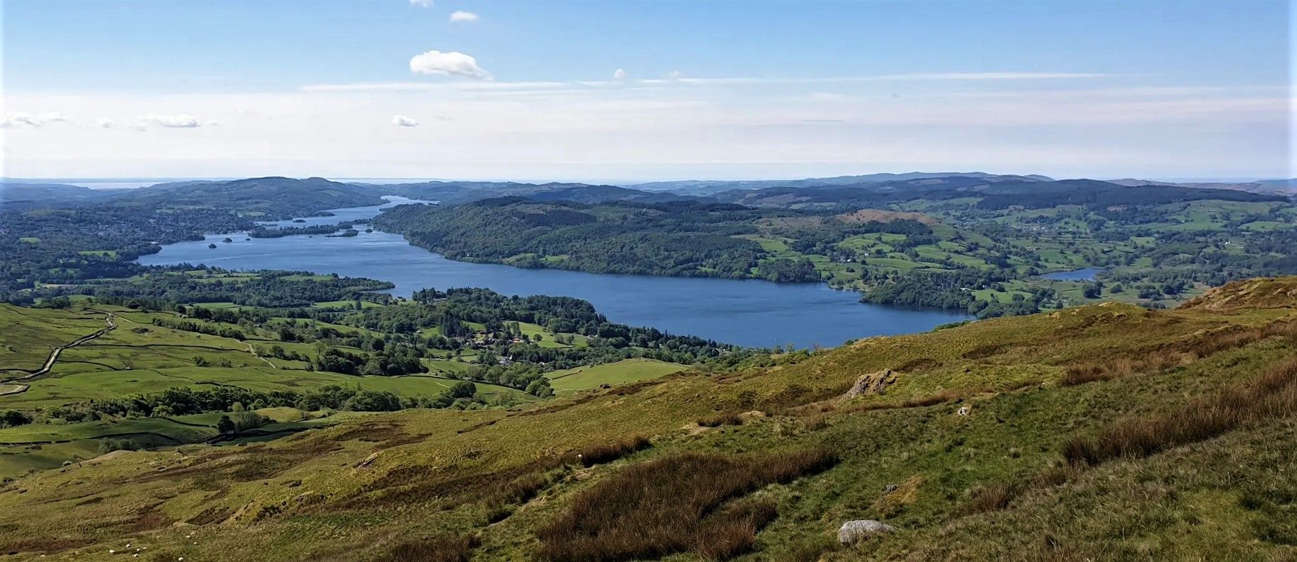
Windermere Way — Hike a poetic loop of a Lakeland legend
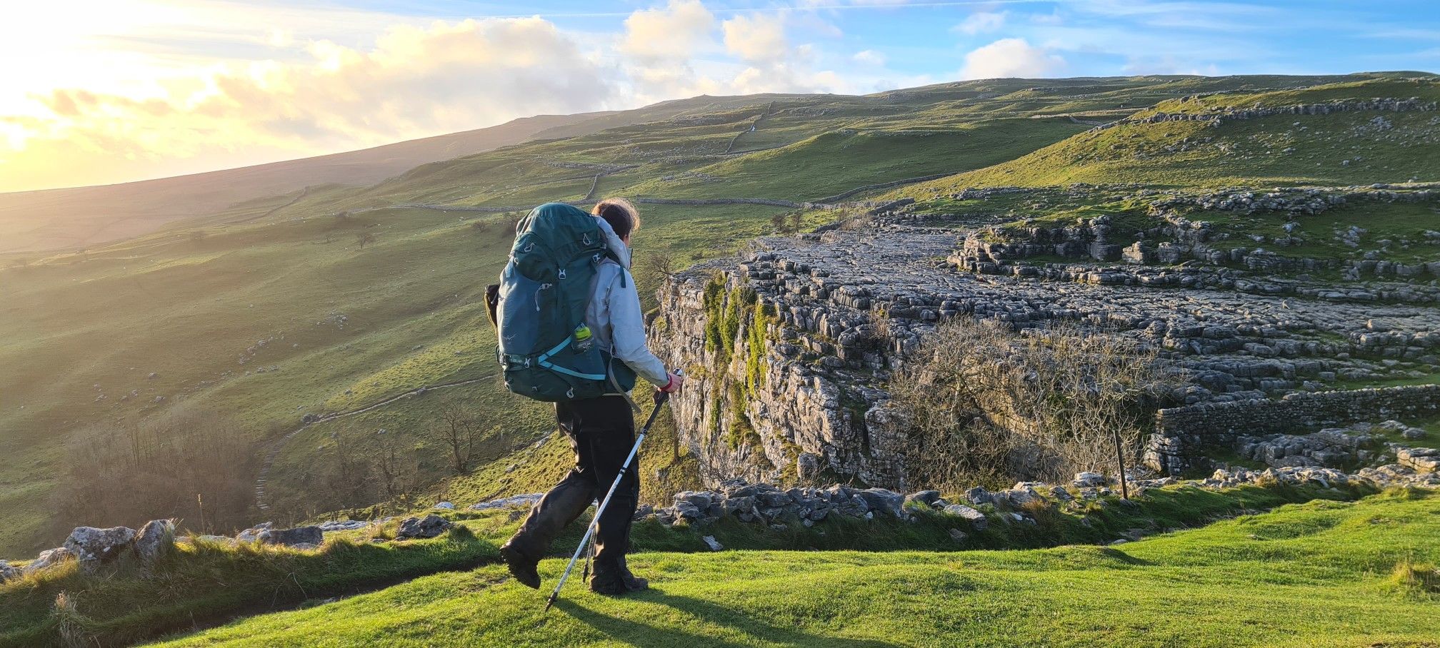
A Dales High Way – Hiking in winter
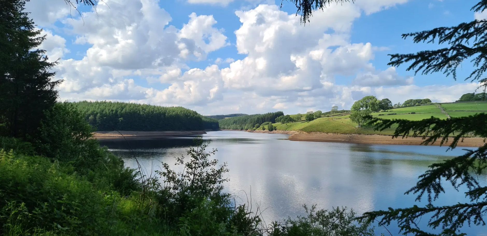
Six Dales Trail — Hike quintessential Yorkshire countryside
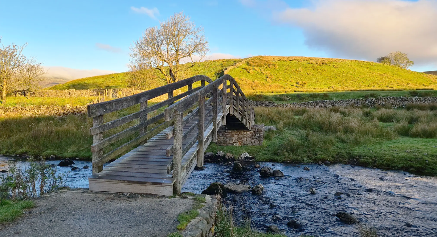
Ribble Way — A remarkable river ramble into the heart of the Dales
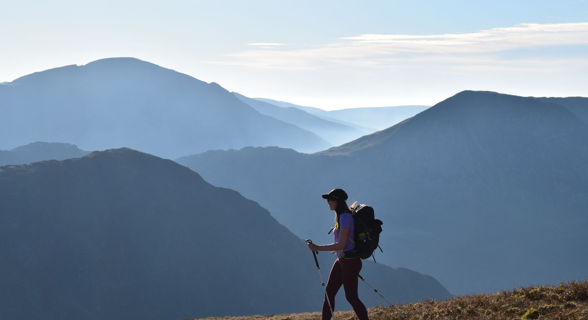
All the Wainwrights in seven weekends — a book by book adventure
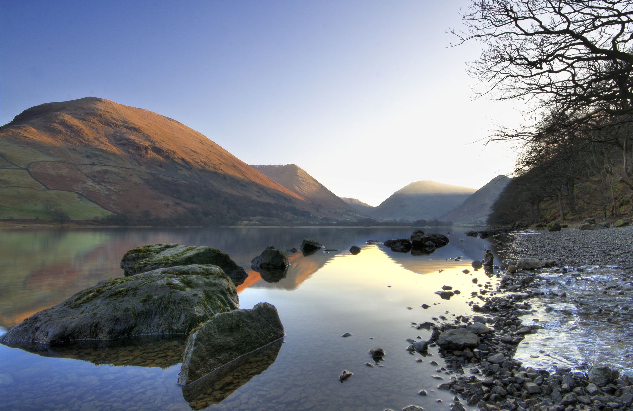
Lake to Lake Walk — Windermere to Kielder across the beautiful North
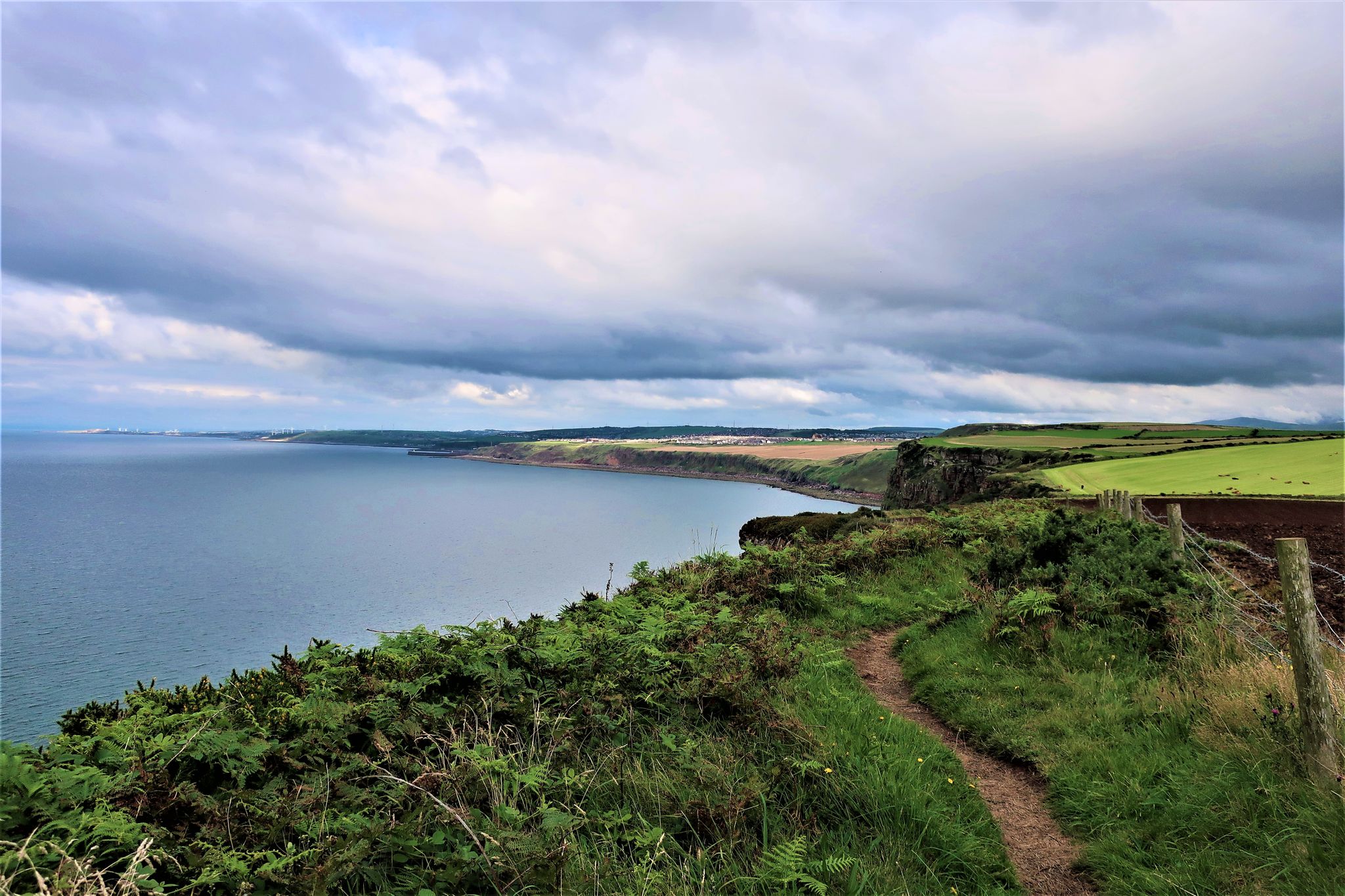
The Cumbria Coastal Way — Hike vibrant estuaries and historic coastline
Other adventures in the Pennines Mountains


Tips from the Community

Look closely at the pillars. Every 6th one is about 50% thicker than the others. This was an insurance policy; in theory the line would still hold if one of the other pillars collapsed.
0
0

Heron Pike, at 612 metres, is slightly higher than its neighbour Rydal Fell, or Heron Pike North Top, which sits at 621 metres. From here you have the most beautiful views straight down to Winderemere.
0
0
Great Rigg, at 766 metres (2,513 feet), is one of the summit peaks of the Fairfield Horseshoe. It also acts as a linking summit if you are coming up from Stone Arthur to Fairfield. Either way, it is a pleasant place with good views down the spur to Stone Arthur and onwards down the ridgeline to Heron Pike and distant Lake Windermere.
0
0
Dove Crag summit is quite unassuming, just a small cairn on a rocky ledge, but it offers a good vantage point with super nice expansive views over the eastern fells and back towards High Pike. It is quite a walk to get here from Ambleside; most do it as part of the Fairfield Horseshoe, but it is well worth it for the views. It is also famous for the hidden Priest Hole Cave located on its steep eastern cliff face.
0
0

Fantastic views of the surroundings mountains on the way up to Fairfield.
0
0

Well you can’t miss it that’s for sure wish I had time to go over to it.. maybe next time
0
0


Frequently Asked Questions
How many hiking trails are available in the Pennines Mountains?
There are over 7,100 hiking routes recorded in the Pennines Mountains on komoot. These range from easy strolls to challenging fell climbs, offering options for all skill levels. Specifically, you'll find over 2,400 easy routes, nearly 3,500 moderate routes, and more than 1,200 difficult trails.
Are there any family-friendly walks in the Pennines Mountains?
Yes, the Pennines offer many family-friendly options, particularly in the dales and around lower-lying areas. Look for routes with less elevation gain and shorter distances. Many trails around picturesque villages or along riverbanks are suitable for families. For example, the Aira Force and Gowbarrow Park Trail is a moderate 4.3-mile (7 km) loop that features stunning waterfalls and is popular with families.
Can I find circular hiking routes in the Pennines Mountains?
Absolutely. Many popular hikes in the Pennines are circular, allowing you to start and end in the same location. A great example is the Pen-y-Ghent loop from Horton in Ribblesdale, a moderate 6.6-mile (10.7 km) trail offering panoramic views. Another option is the Buttermere loop, an easy 4.8-mile (7.8 km) walk around the lake.
Are there any hikes that feature waterfalls in the Pennines?
The Pennines are renowned for their tumbling rivers and impressive waterfalls. The Five waterfalls loop from Ingleton is a fantastic moderate 4.5-mile (7.3 km) path that navigates through a scenic gorge, passing multiple cascades. You can also explore highlights like Aira Force and Gordale Scar Waterfall.
What are some notable natural landmarks or geological features to see while hiking?
The Pennines boast distinctive geological formations. The North Pennines, a UNESCO Global Geopark, features the sweeping U-shaped valley of High Cup Gill, often called 'England's Grand Canyon.' The Yorkshire Dales offer unique limestone pavements and extensive underground cave systems. You can also find impressive summits like Old Man of Coniston and Helvellyn Summit.
What is the best time of year to hike in the Pennines Mountains?
The best time to hike in the Pennines is generally from late spring to early autumn (May to October) when the weather is milder and the days are longer. Summer (July-August) offers the warmest temperatures, but can also be busy. Spring and autumn provide beautiful scenery with fewer crowds, though weather can be unpredictable, so always be prepared for changing conditions.
Are there any long-distance trails or famous paths in the Pennines?
Yes, the Pennines are home to the iconic Pennine Way, England's first National Trail, a 268-mile footpath that runs along much of the Pennine chain. While the full trail is a multi-day undertaking, many shorter sections can be hiked as day trips, offering a taste of this famous route's rugged landscapes.
What do other hikers enjoy most about the Pennines Mountains?
The Pennines Mountains are highly rated by the komoot community, with an average score of 4.6 stars from over 42,000 reviews. Hikers often praise the diverse landscapes, from expansive heather moors to dramatic dales and impressive waterfalls. The sense of wild remoteness and the variety of trails, from gentle riverside strolls to challenging fell climbs, are frequently highlighted.
Are there opportunities for stargazing in the Pennines?
Yes, the North Pennines National Landscape is recognized for having some of the darkest skies of any mainland National Landscape in England. This makes it an excellent destination for stargazing and enjoying the night sky, particularly away from urban light pollution.
Are there any historical sites or attractions to explore along the trails?
The Pennine landscape bears the imprints of a rich mining past, with scattered remnants of lead-mining visible across the region. Attractions like the Killhope Lead Mining Museum and Nenthead Mines offer insights into this history. Additionally, Hadrian's Wall runs along the northern edge of the Pennines, providing a glimpse into Roman history.
Are there easy hiking routes suitable for beginners in the Pennines?
Yes, the Pennines offer numerous easy routes perfect for beginners or those seeking a relaxed walk. These often follow river valleys or lower fells, with minimal elevation gain. For example, many sections of the Derwent Water loop from Keswick offer gentle terrain and beautiful lakeside views, though this specific route is moderate due to its length.
Is public transport available to access hiking trailheads in the Pennines?
Access to trailheads by public transport varies across the vast Pennines region. Major towns and villages often have bus or train connections, but more remote starting points may require a car. It's advisable to check local transport schedules for specific areas or trailheads you plan to visit, especially when planning to hike sections of the Pennine Way.
Most popular routes in the Pennines Mountains
Most popular attractions in the Pennines Mountains

Get inspired with the komoot mobile app


Explore more
Browse the best Hikes in other regions.
