The best hikes from bus stations in the Pennines Mountains
4.6
(50309)
446,077
hikers
2,944
hikes
Bus station hiking trails in the Pennines Mountains offer access to a diverse landscape characterized by expansive moorlands, deep dales, and significant peaks. The region features dramatic gritstone fells interspersed with wooded valleys and numerous waterfalls. This varied terrain provides a range of hiking experiences, from gentle riverside paths to challenging upland routes.
Best bus station hiking trails in the Pennines Mountains
- The most popular bus station hiking route is The Deepdale Horseshoe from Patterdale, a 11.2 miles (18.0…
Last updated: August 22, 2026
4.7
(55)
535
hikers
18.0km
06:36
940m
940m
Hard hike. Very good fitness required. Mostly accessible paths. Sure-footedness required.
4.8
(408)
2,275
hikers
10.9km
03:40
530m
540m
Moderate hike. Good fitness required. Easily-accessible paths. Suitable for all skill levels.

Sign up for free
4.8
(466)
3,037
hikers
13.8km
03:49
240m
240m
Moderate hike. Good fitness required. Easily-accessible paths. Suitable for all skill levels.
4.7
(31)
197
hikers
Hard hike. Very good fitness required. Mostly accessible paths. Sure-footedness required.
4.8
(233)
1,807
hikers
11.8km
03:13
170m
170m
Moderate hike. Good fitness required. Easily-accessible paths. Suitable for all skill levels.
Get access to more routes and recommendations from other explorers.
Sign up for free
Already have an account?
Our route recommendations are based on thousands of hikes, rides, and runs completed by other people on komoot.
Start today with a free account
Your next adventure awaits.
Login or Signup
Popular around Pennines Mountains
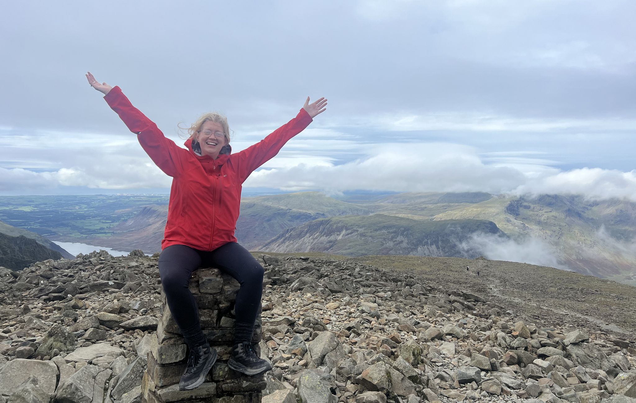
Lake District National Park – A Walk in the Parks
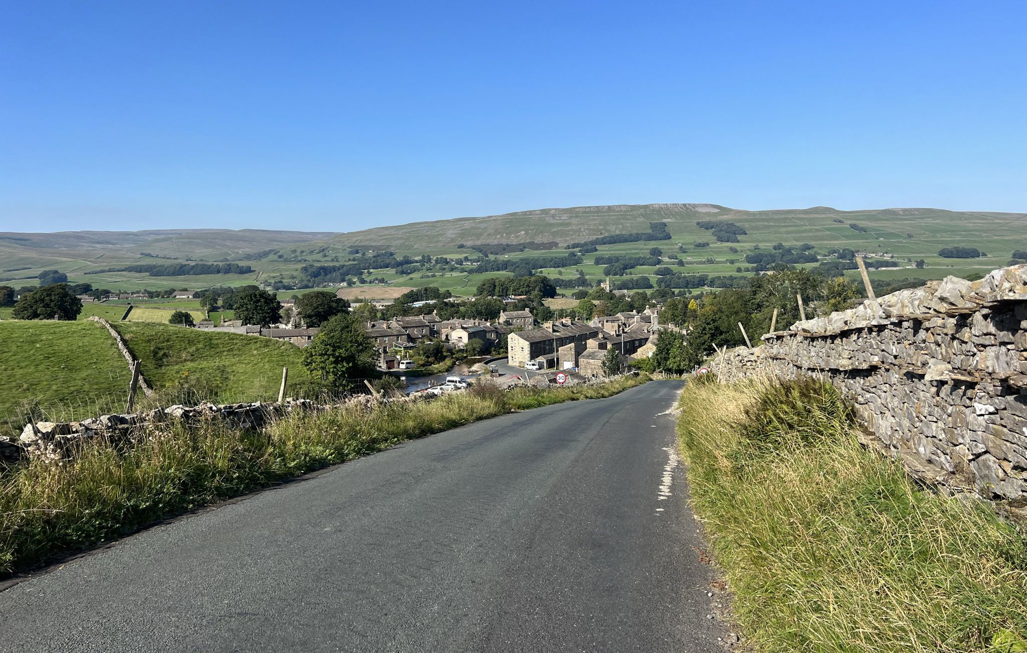
Yorkshire Dales National Park – A Walk in the Parks
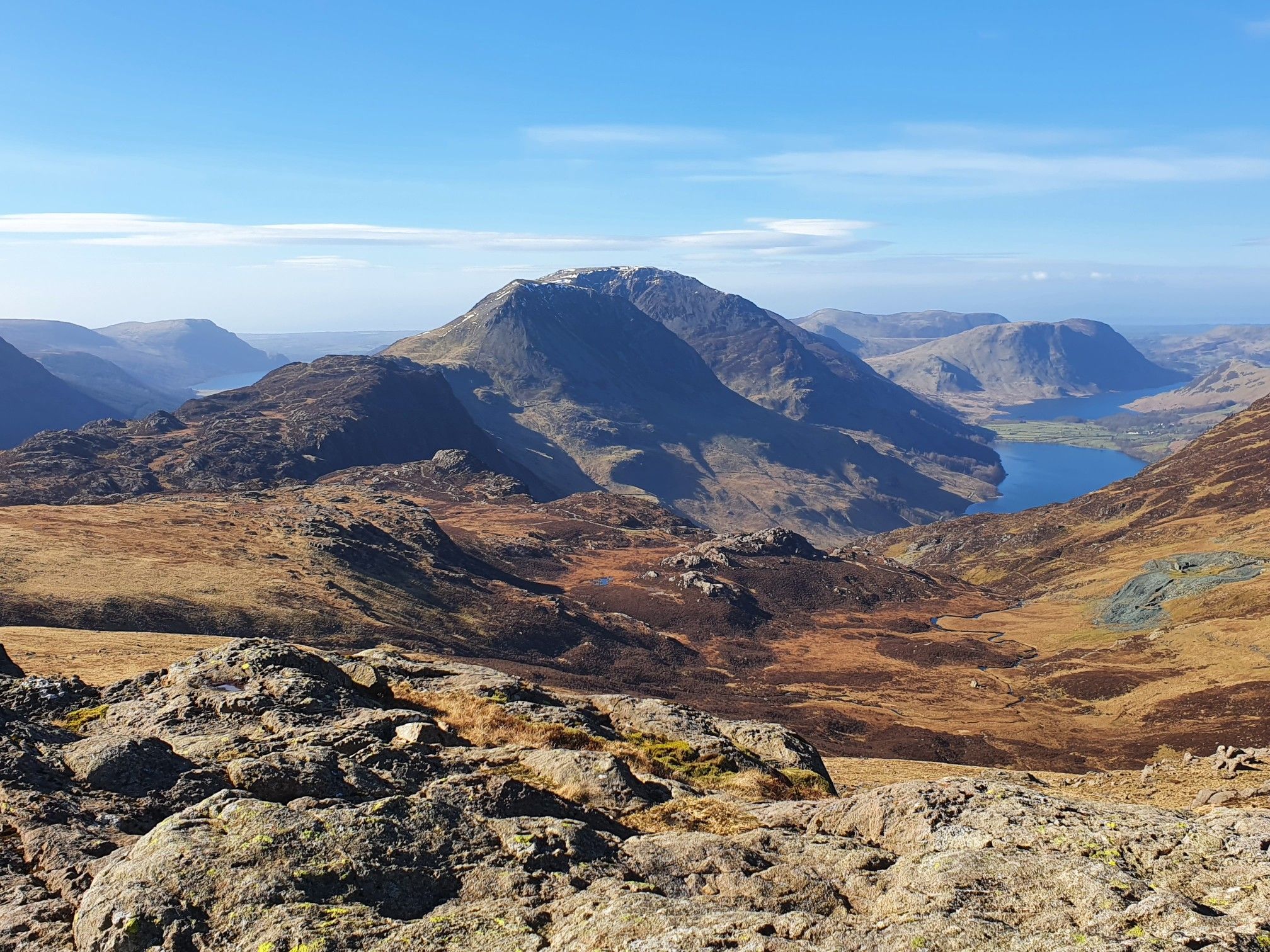
Cumbrian Traverse – A sublime high-level hike across Lakeland
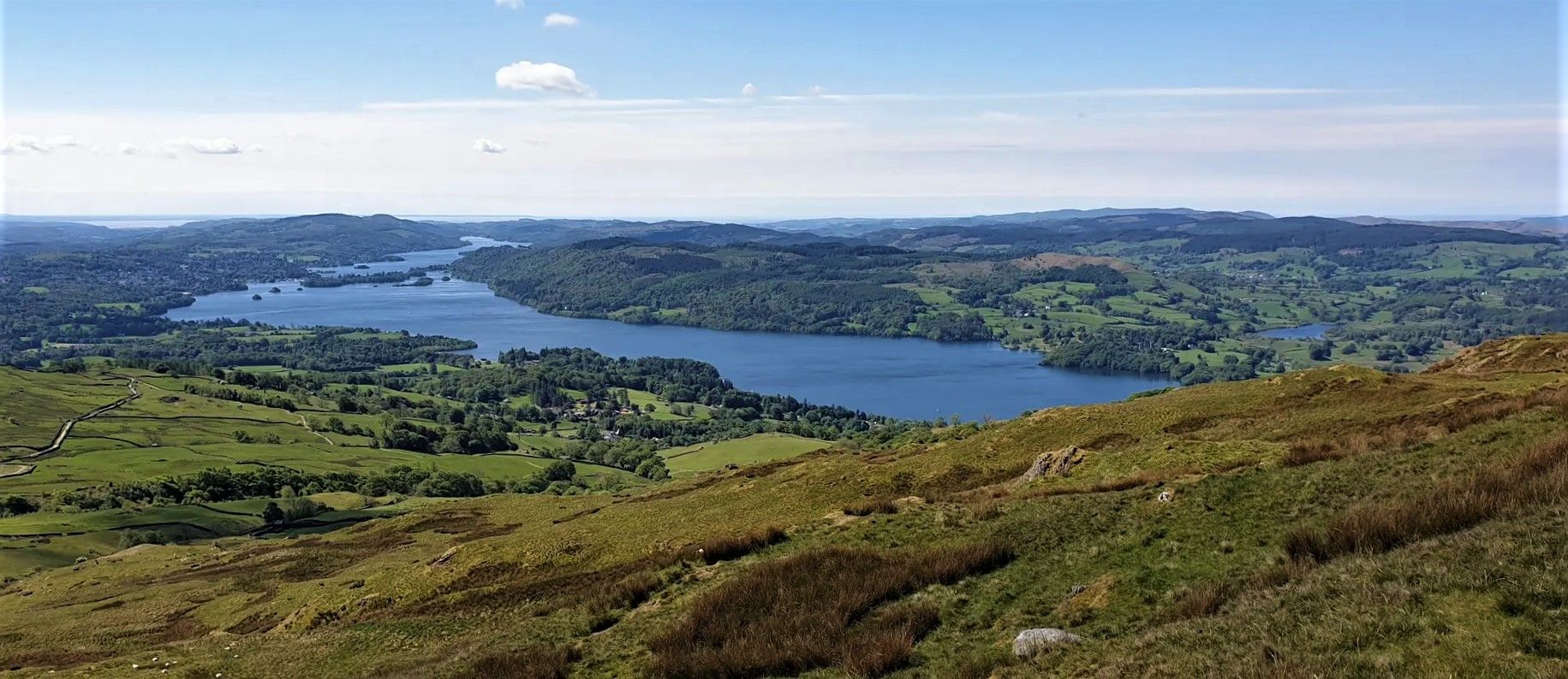
Windermere Way — Hike a poetic loop of a Lakeland legend
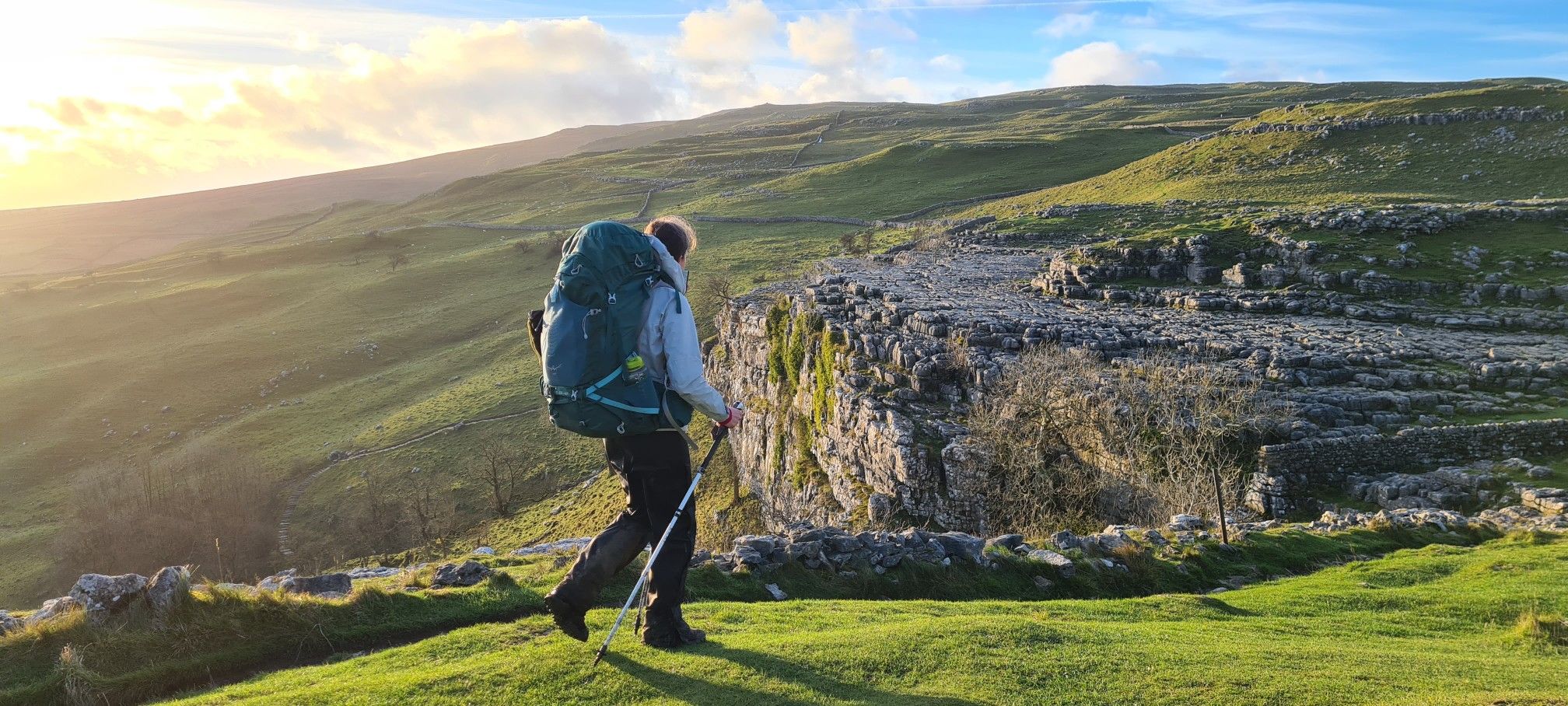
A Dales High Way – Hiking in winter
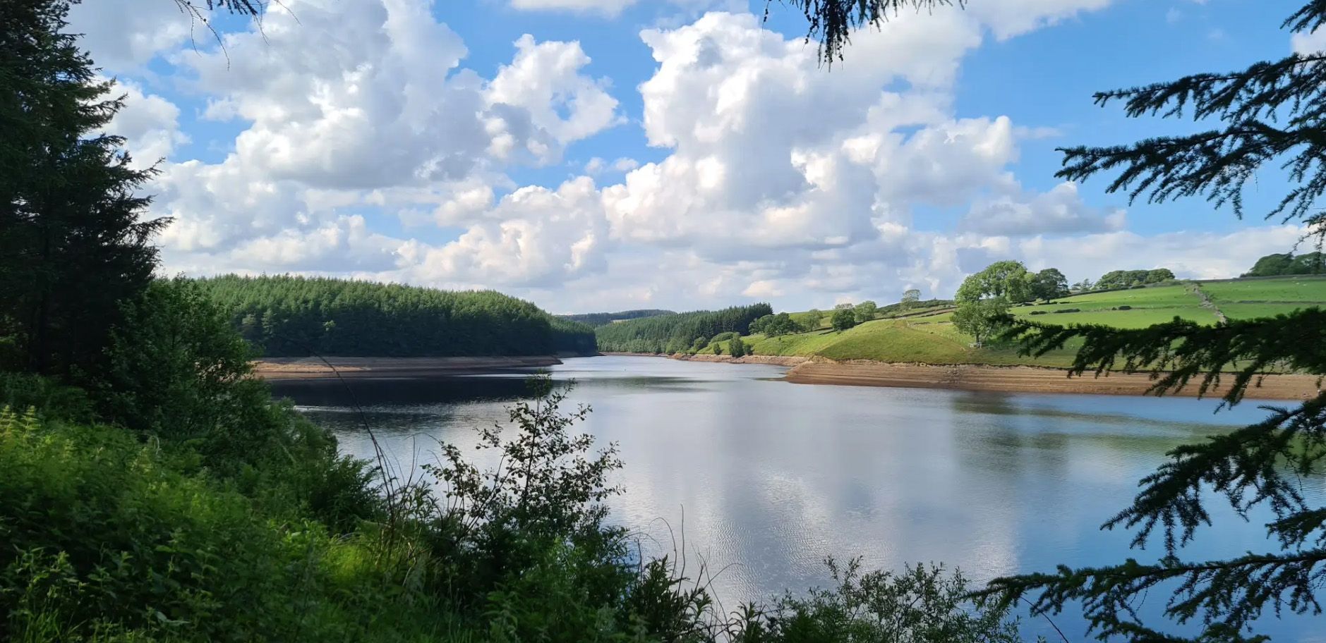
Six Dales Trail — Hike quintessential Yorkshire countryside
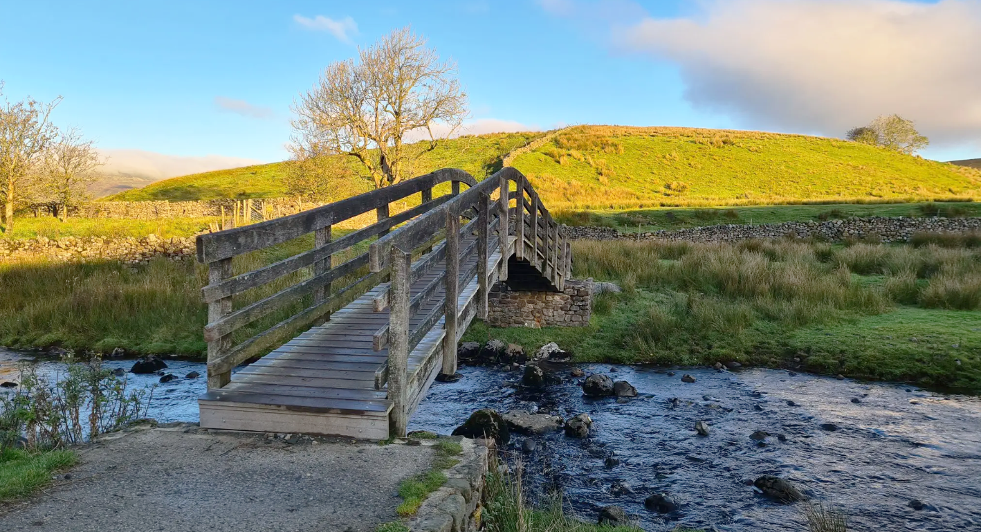
Ribble Way — A remarkable river ramble into the heart of the Dales
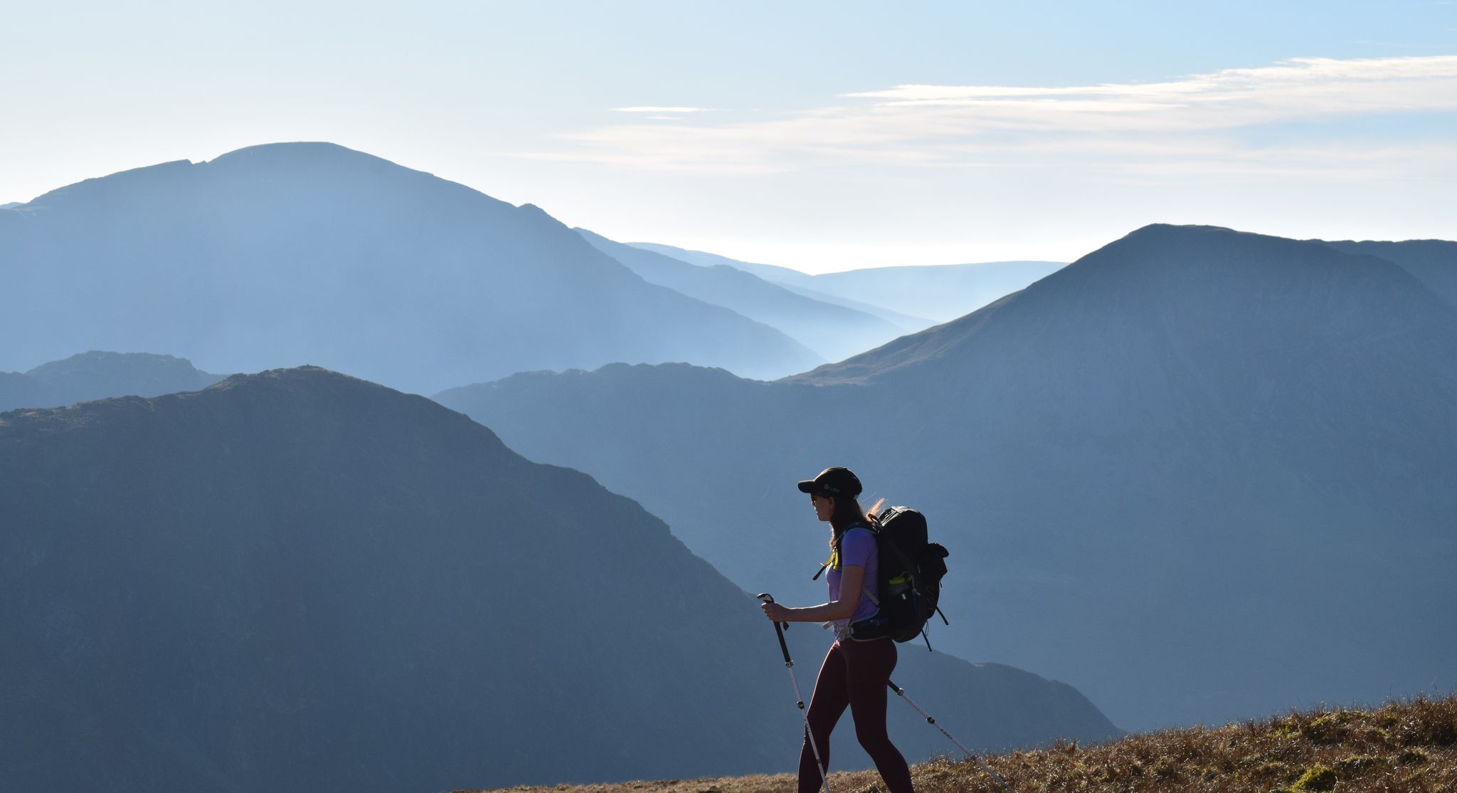
All the Wainwrights in seven weekends — a book by book adventure
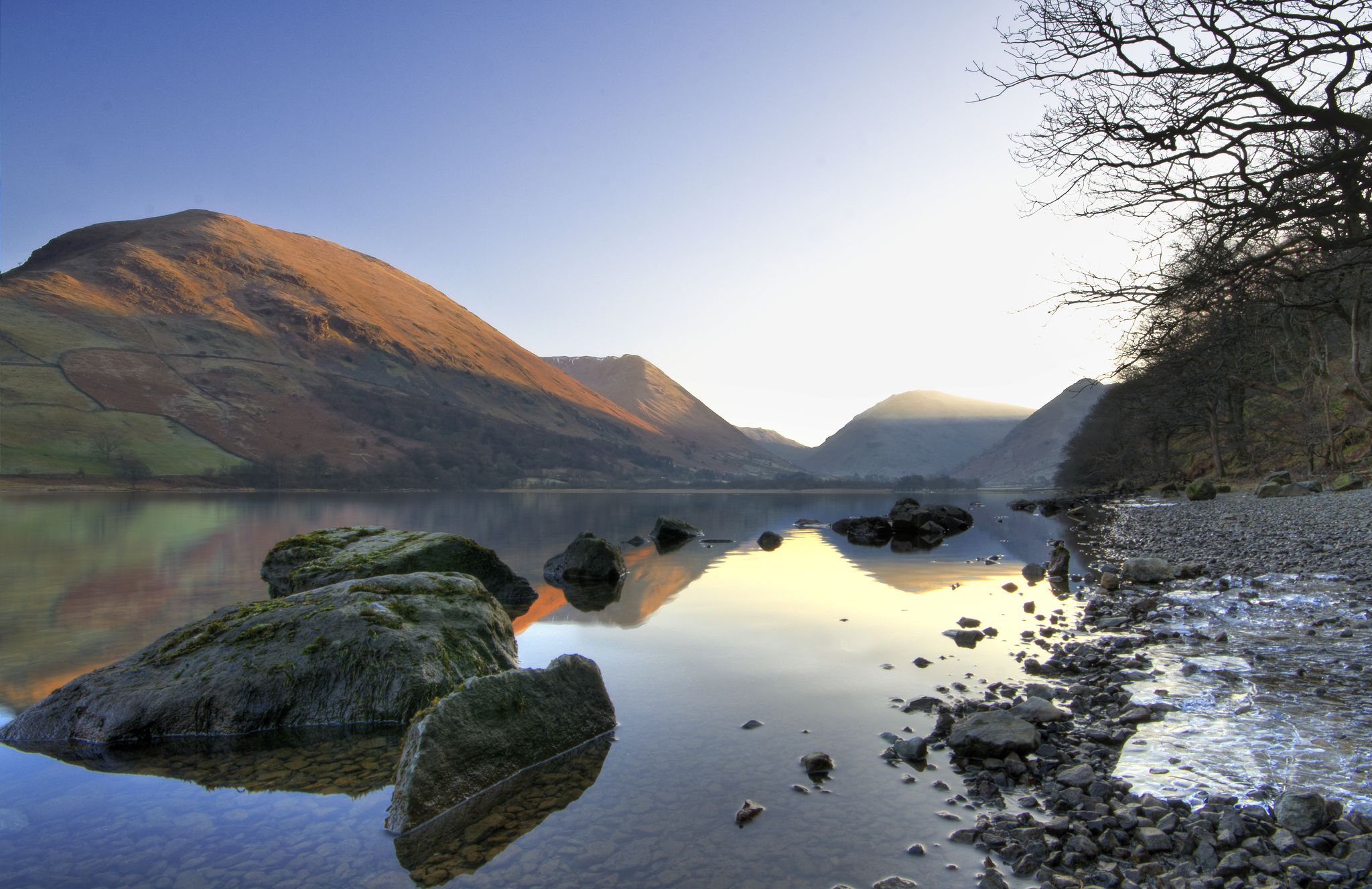
Lake to Lake Walk — Windermere to Kielder across the beautiful North
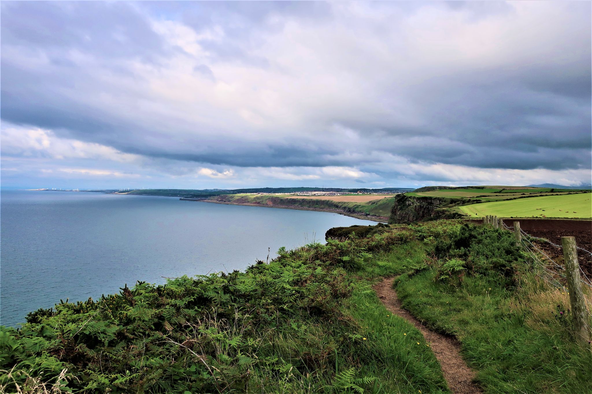
The Cumbria Coastal Way — Hike vibrant estuaries and historic coastline
Other adventures in the Pennines Mountains


Tips from the Community


One of the smaller Wainwrights, Arnison Crag at 433-meters (1,421-feet) sits just above Patterdale where you can get gorgeous views of Ullswater and the surrounding fells. It was Alfred Wainwright's first walk featured in his Pictorial Guide to the Eastern Fells.
0
0
Even though it is a Wainwright, there is nothing that distinctive about Birks Fell. It has a broad summit and a small summit cairn, but it does have striking views down into the Patterdale Valley.
0
0
Saint Sunday Crag is a super popular 841-metre Wainwright. It is a big Wainwright fell with a broad striking ridge with a cairned summit. It has sweeping views of the Helvellyn and Fairfield tops. If you come up from Patterdale, you will have a stiff climb to look forward to. Coming to it from Cofa Pike is a much more amicable affair for your legs.
0
0
Cofa Pike is a brilliant little rocky protrusion. It is a subsidiary pyramid-type summit (823 metres) on the northeast ridge of Fairfield. It makes for a great little scramble, and from here you have a great view of Saint Sunday Crag.
0
0
Hartsop Above How sits between Hart Crag and Gale Crag by boggy undulating ground that drops northeast towards Patterdale. There is no prominent summit marker here, just an outcrop of just a broad mound of earth. I would have liked to have said something about the views, but I didn't see anything today.
0
0

A short hike up from Patterdale with fantastic views over Ullswater certainly worth the effort.
0
0
Frequently Asked Questions
How many bus-accessible hiking trails are available in the Pennines Mountains?
The Pennines Mountains offer over 2,900 hiking trails accessible by bus, catering to a wide range of abilities. You'll find nearly 1,000 easy routes, around 1,500 moderate options, and over 500 challenging trails.
What do other hikers enjoy most about bus station trails in the Pennines Mountains?
The komoot community highly rates the bus-accessible trails in the Pennines Mountains, with an average score of 4.6 out of 5 stars from over 43,000 reviews. Hikers frequently praise the diverse landscapes, from dramatic moorlands to picturesque dales, and the convenience of reaching trailheads via public transport.
Are there any easy, family-friendly bus station hikes in the Pennines Mountains?
Yes, the Pennines offer many easy routes suitable for families. While specific family-friendly routes vary, many trails accessible by bus stations are designed for gentler walks. Look for routes with shorter distances and minimal elevation gain, often found along river valleys or through charming villages.
Can I find circular hiking routes that start and end at a bus station?
Absolutely. Many of the trails in the Pennines Mountains are designed as circular routes, making them ideal for bus travel as you can start and finish at the same public transport stop. These routes allow you to explore the diverse scenery without needing to arrange return transport from a different location.
Are there any bus-accessible trails that feature waterfalls or other natural monuments?
The Pennines are renowned for their natural beauty, including numerous waterfalls and impressive geological formations. While specific bus routes vary, you can often find trails that lead to features like High Force or Malham Cove. For example, you might find routes near highlights such as Janet's Foss or Hull Pot, which are popular natural monuments in the region.
Which bus station trails are suitable for hiking with dogs?
Many trails in the Pennines Mountains are dog-friendly, provided dogs are kept under control, especially around livestock. Always check local signage for specific restrictions, particularly in nature reserves or during lambing season. Generally, routes that avoid stiles or offer wide paths are best for dogs. Remember to bring water and waste bags.
What kind of landmarks or points of interest can I explore on bus station hikes?
The Pennines are rich in both natural and historical landmarks. Beyond the stunning landscapes, you can encounter prominent peaks like Old Man of Coniston summit or Catbells Summit. You might also discover unique geological features such as Cathedral Cavern or the intriguing Buttermere Tunnel, offering a blend of natural wonder and historical insight.
Are there any challenging bus-accessible routes for experienced hikers?
Yes, the Pennines offer plenty of challenging routes for experienced hikers, many of which are accessible by bus. These often involve significant elevation gain and longer distances. An example of a more demanding route is The Deepdale Horseshoe from Patterdale, which covers nearly 18 km with over 900 meters of ascent.
What is the best season for hiking bus station trails in the Pennines Mountains?
The Pennines offer hiking opportunities year-round, but each season has its charm. Spring brings blooming heather and vibrant greenery, while summer provides longer daylight hours and generally milder weather. Autumn showcases stunning foliage, and winter can offer dramatic, snow-dusted landscapes for experienced hikers, though conditions can be challenging. Always check weather forecasts before heading out.
Are there any bus-accessible routes that offer panoramic views?
Many trails in the Pennines Mountains provide breathtaking panoramic views, especially those that ascend to higher elevations. For example, the Wansfell Pike summit – View of Windermere loop from Jesus Church offers spectacular vistas of Windermere and the surrounding fells. Routes leading to summits like Loughrigg Fell summit are also excellent for expansive views.
What should I bring for a bus station hike in the Pennines Mountains?
Given the varied terrain and changeable weather in the Pennines, it's essential to be well-prepared. Always carry appropriate layers of clothing, waterproofs, sturdy hiking boots, a map and compass (or a reliable GPS device), sufficient water and snacks, and a fully charged phone. For longer or more remote routes, consider a first-aid kit and emergency shelter.
Most popular routes in the Pennines Mountains
Most popular attractions in the Pennines Mountains

Get inspired with the komoot mobile app


Explore more
Browse the best Hikes in other regions.
