Easy hikes and walks in the Pennines Mountains
4.6
(49763)
443,812
hikers
7,038
hikes
Easy hiking trails in the Pennines Mountains traverse a diverse landscape characterized by rolling hills, expansive moorlands, and deep valleys often carved by rivers. This upland region features numerous waterfalls and distinctive geological formations. The terrain offers a mix of open landscapes and attractive dales, providing varied environments for exploration.
Best easy hiking trails in the Pennines Mountains
- The most popular easy hiking route is Aira Force and Gowbarrow Park Trail, a 1.7 miles (2.8 km) trail that takes 50 minutes to complete. This path leads through scenic woodland to a notable waterfall.
- Another top favourite among local hikers is Around Tarn Hows — Lake District National Park, an easy 2.0 miles (3.2 km) path. This route offers gentle gradients around a picturesque tarn with surrounding forest.
- Local hikers also love the High Shaws Laithe and Valve Tower loop from Grimwith Reservoir Car Park — Yorkshire Dales National Park, a 4.3 miles (7.0 km) trail leading through reservoir surroundings, often completed in about 1 hour 50 minutes.
- Hiking in the Pennines Mountains is defined by rolling hills, heather-covered moorlands, and deep river valleys. The network offers options for various ability levels, with many easy hiking trails available.
- The routes in Pennines Mountains are highly rated by the komoot community with an average score of 4.6 stars from over 42,900 reviews. More than 412,000 hikers have used komoot to explore Pennines Mountains's varied terrain.
Last updated: August 17, 2026
4.7
(66)
533
hikers
2.81km
00:50
80m
80m
Hike the easy 1.7-mile Aira Force and Gowbarrow Park Trail in Lake District National Park, featuring waterfalls and Ullswater views.
4.7
(54)
554
hikers
3.19km
00:51
40m
40m
Easy hike. Great for any fitness level. Easily-accessible paths. Suitable for all skill levels.

Sign up for free
4.8
(54)
645
hikers
Embark on an easy hike around Grimwith Reservoir, a 4.3-mile (7.0 km) loop that takes about 1 hour and 49 minutes to complete. You will experience gentle elevation changes, with a total climb of 184 feet (56 metres), making it suitable for all fitness levels. The well-maintained paths offer expansive views of the serene, peat-colored waters of Grimwith Reservoir and the surrounding rolling moorland. As you walk, you will pass the distinctive Valve Tower, standing prominently by the reservoir wall, and enjoy far-reaching vistas across the Yorkshire Dales.
This accessible route begins conveniently from the Grimwith Reservoir Car Park. The terrain primarily consists of well-surfaced paths, though some sections may be dirt or grass and can become muddy after rain. Since the walk is largely open, with little woodland cover, it is best enjoyed on a clear day to fully appreciate the Dales' far-reaching views. The trail features no steps or stiles, making it a comfortable option for many hikers.
Beyond the scenic beauty, this trail offers glimpses into local history and ecology. You will encounter High Shaws Laithe, a unique 16th-century cruck barn with a heather thatched roof, rebuilt by Yorkshire Water. The route also passes Grimwith House and reveals remains of the submerged village of Gate Up, now beneath the reservoir. Much of the surrounding moorland is designated as a Site of Special Scientific Interest, highlighting its ecological importance for wildlife, including various bird species.
4.8
(39)
212
hikers
4.65km
01:38
260m
250m
Easy hike. Great for any fitness level. Easily-accessible paths. Suitable for all skill levels.
4.9
(48)
277
hikers
3.93km
01:03
40m
40m
Embark on an easy 2.4-mile (3.9 km) hike around Aysgarth Falls, a journey that takes about 1 hour and 2 minutes with minimal elevation gain of 127 feet (39 metres). This picturesque loop guides you past the impressive triple-tiered waterfalls of the River Ure, through ancient Freeholders' Wood, and across open pasture fields. You will find well-maintained paths, though some sections can be grassy or muddy after rain, especially closer to the Middle and Lower Falls. Enjoy the rolling green hills and traditional drystone walls of the Yorkshire Dales.
Planning your visit is straightforward, as the Aysgarth Falls loop is considered family-friendly and suitable for most fitness levels. The National Park Visitor Centre provides convenient facilities including parking, toilets, and information. Many paths, particularly those leading to the Middle and Lower Falls, are wide and surfaced, making them accessible for wheelchairs and pushchairs. Look for the "Miles Without Stiles" routes if you have mobility challenges.
This trail offers more than just beautiful scenery; Aysgarth Falls is a Site of Special Scientific Interest (SSSI) due to the dramatic way the River Ure has carved through limestone and shale. Freeholders' Wood, a Local Nature Reserve, adds ecological interest with seasonal wildflowers and opportunities to spot wildlife like woodpeckers and roe deer. The falls also gained fame as a filming location for the movie *Robin Hood: Prince of Thieves*, adding a touch of cinematic history to your walk.
4.8
(69)
296
hikers
This easy 3.6-mile (5.7 km) loop from Askrigg takes you through classic Yorkshire Dales countryside to two magnificent waterfalls. You'll gain about 432 feet (132 metres) over 1 hour and 37 minutes, passing through bluebell-cloaked woodlands in spring or vibrant autumnal colors later in the year. The path to Mill Gill Force is well-defined, but expect uneven, muddy sections, especially after rain, and some steep climbs towards Whitfield Gill Force. You might also encounter unique 'Wensleydale stiles' along the way, adding to the adventure. Enjoy glorious views across Wensleydale as you hike.
Rated easy, this hike is suitable for families, though good waterproof footwear is highly recommended due to potentially muddy conditions. While the path to Mill Gill Force is straightforward, getting up close to Whitfield Gill Force can be more demanding with uneven, slippery sections and steep drops. However, you can still enjoy Whitfield Gill Force from a distance on the return path without tackling the trickier sections. The picturesque village of Askrigg serves as a charming starting and end point for your adventure.
The primary draw of this trail is undoubtedly the chance to visit two spectacular waterfalls within a relatively short and accessible walk. Mill Gill Force offers a 'wow factor,' especially after recent rains when the falls are in full flow, while Whitfield Gill Force provides a secluded, almost fairytale-like atmosphere. The trail also offers opportunities to find fossils near Whitfield Gill, and Askrigg itself is notable as the setting for 'Darrowby' in the original 'All Creatures Great and Small' television series.
4.8
(50)
205
hikers
4.07km
01:15
140m
140m
This easy 2.5-mile loop from Glenridding takes you to Lanty's Tarn and along Grisedale Beck, offering varied Lake District scenery.
4.6
(24)
198
hikers
Embark on the Thruscross Reservoir and Cloggers Lane loop, an easy hike that takes you around the tranquil waters of Thruscross Reservoir. This circular route spans 4.7 miles (7.5 km) and involves a gentle elevation gain of 220 feet (67 metres), making it a rewarding outdoor experience you can complete in about 1 hour and 59 minutes. You will discover varied landscapes, from peaceful woodland and open moorland to crags, streams, and sections alongside the River Washburn.
When planning your visit, be aware that while the trail is easy, the terrain can be rugged and varied, including rough pastures, rocky sections, and potentially muddy banks with tree roots. Sturdy boots are highly recommended to navigate these conditions, and the route is not suitable for prams. You will find parking available at Thruscross Reservoir Car Park, ensuring convenient access to this peaceful, remote escape.
One of the unique features of this hike is the opportunity to see the Ruins of West End Village. These historical remnants become visible when the reservoir's water levels are low, adding an intriguing layer of history to your walk through the Nidderdale Area of Outstanding Natural Beauty. This detail makes the route particularly special, offering more than just scenic views.
4.7
(37)
93
hikers
Easy hike. Great for any fitness level. Easily-accessible paths. Suitable for all skill levels.
4.5
(21)
191
hikers
Easy hike. Great for any fitness level. Easily-accessible paths. Suitable for all skill levels.
Get access to more routes and recommendations from other explorers.
Sign up for free
Already have an account?
Our route recommendations are based on thousands of hikes, rides, and runs completed by other people on komoot.
Start today with a free account
Your next adventure awaits.
Login or Signup
Popular around Pennines Mountains
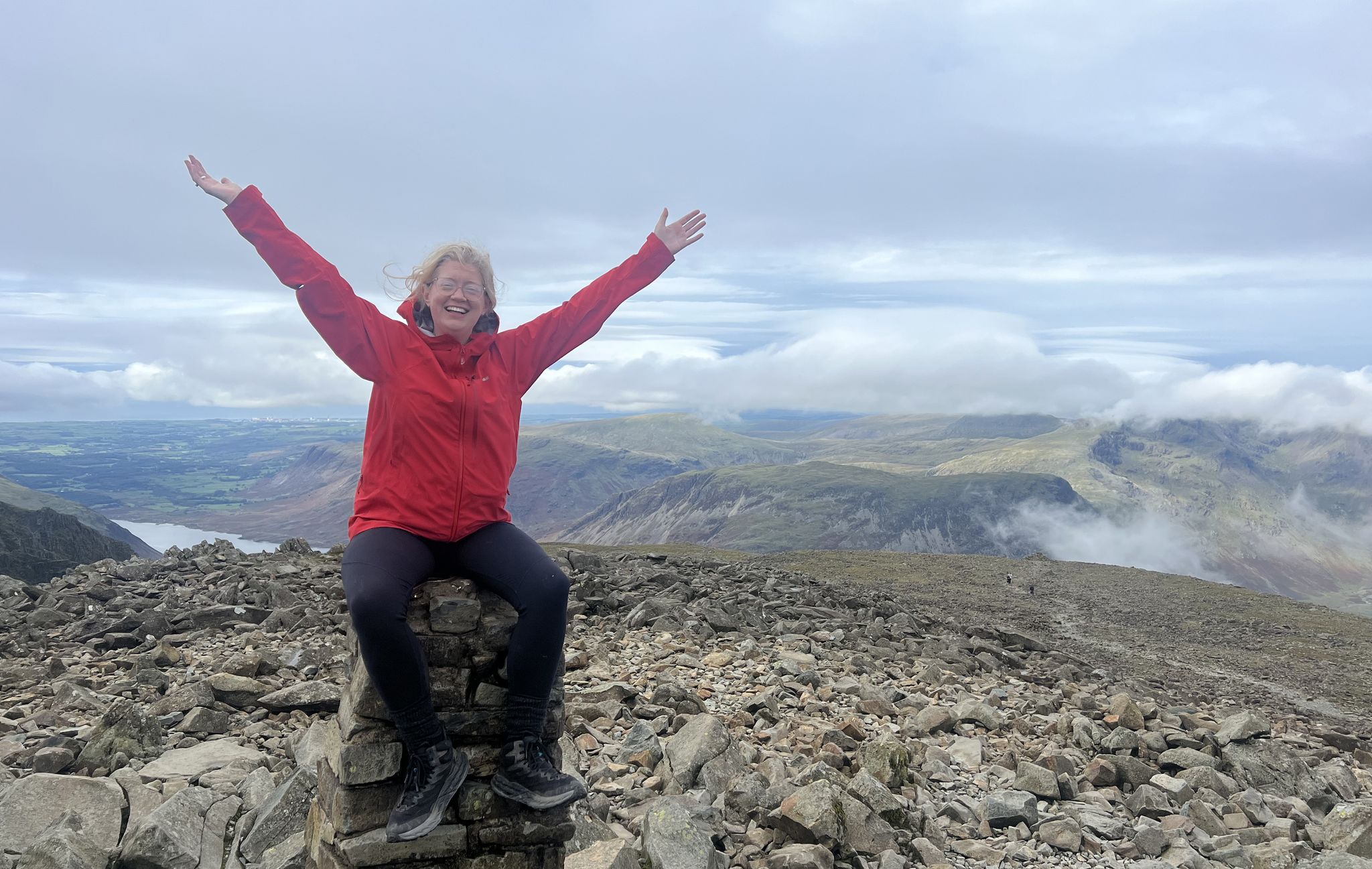
Lake District National Park – A Walk in the Parks
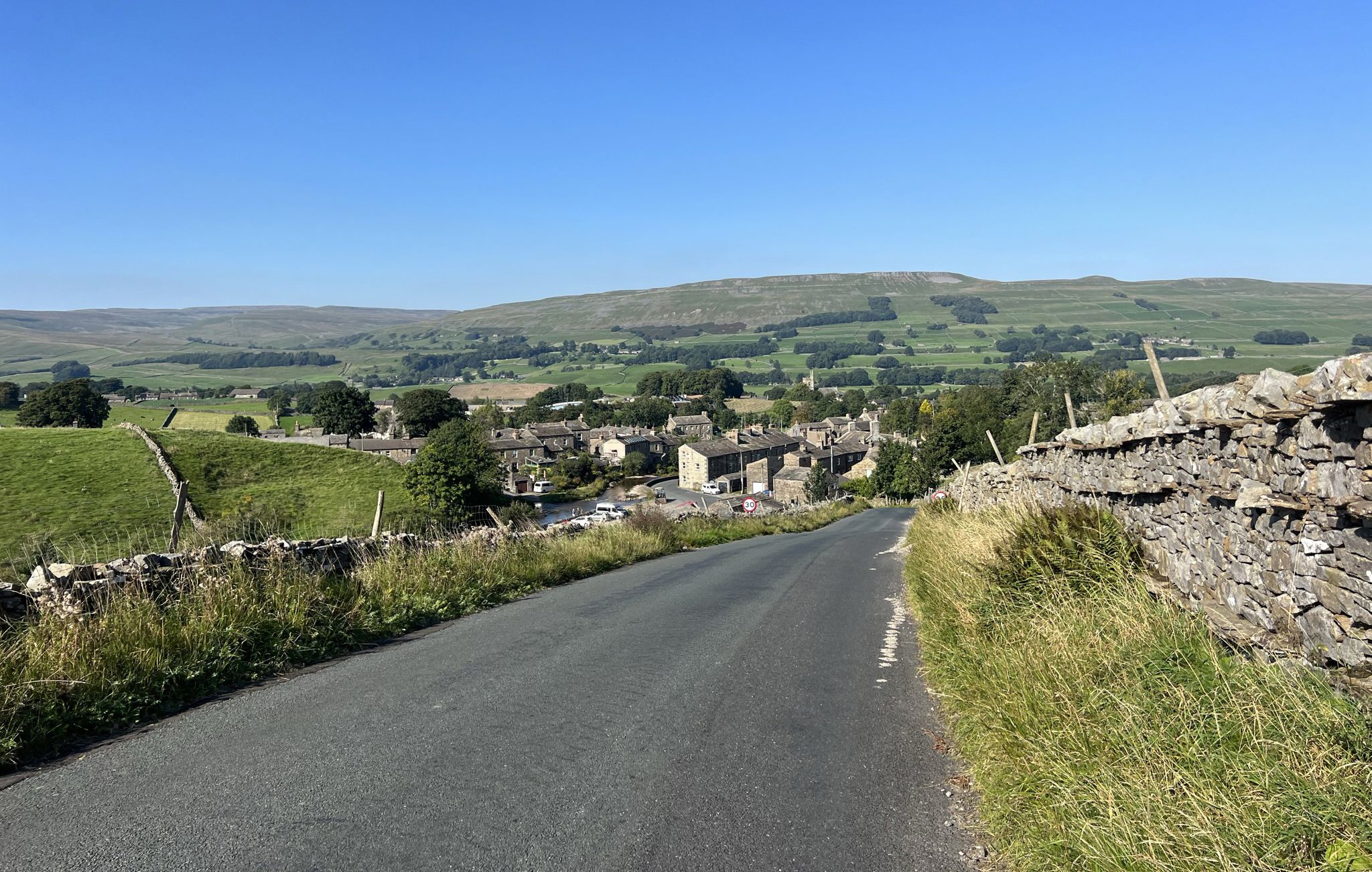
Yorkshire Dales National Park – A Walk in the Parks
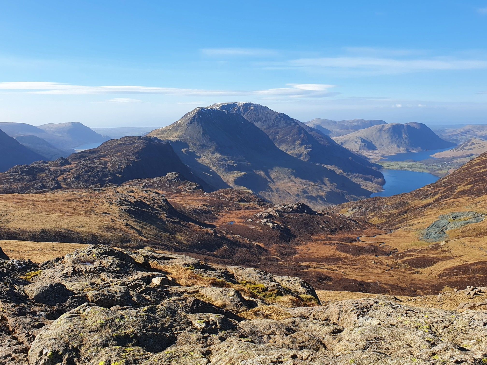
Cumbrian Traverse – A sublime high-level hike across Lakeland
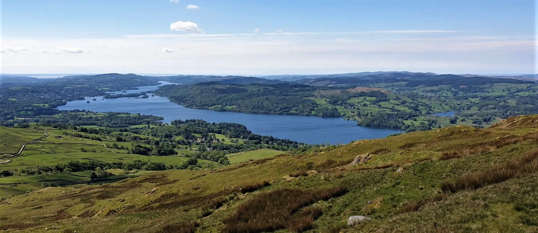
Windermere Way — Hike a poetic loop of a Lakeland legend
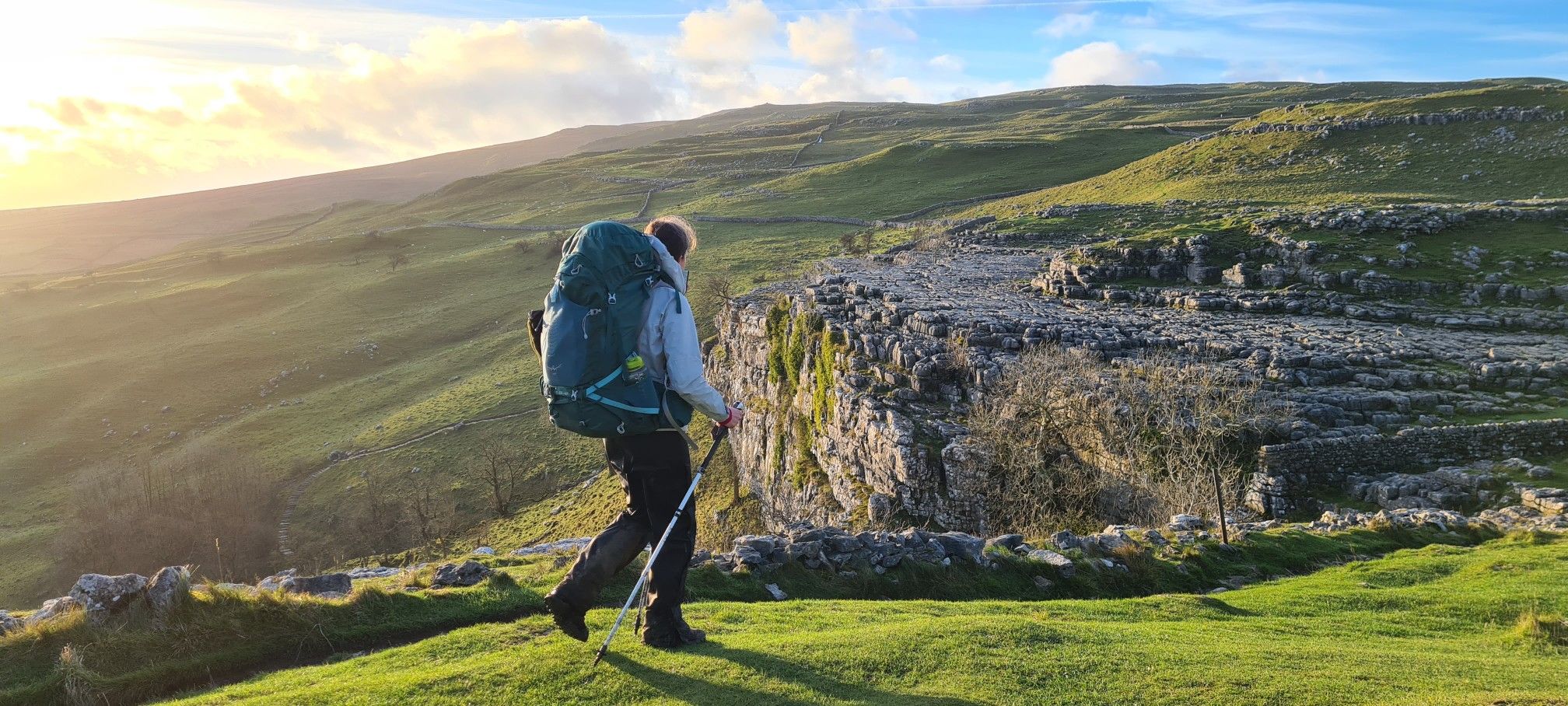
A Dales High Way – Hiking in winter
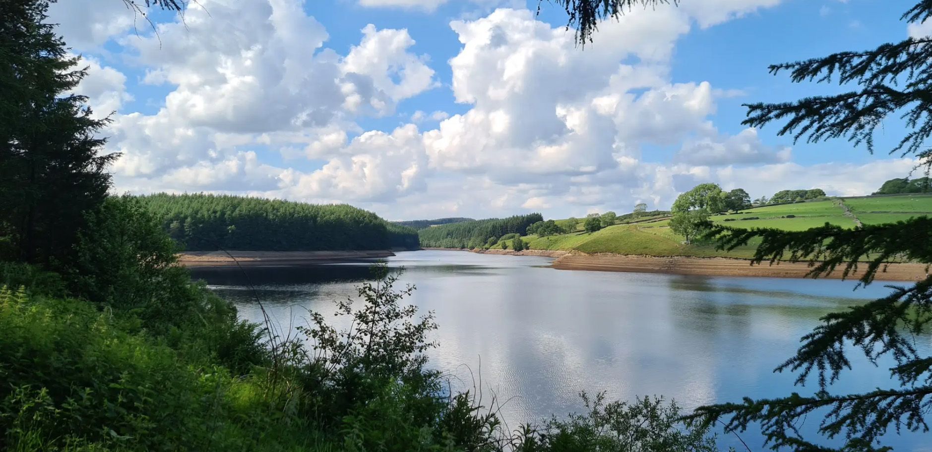
Six Dales Trail — Hike quintessential Yorkshire countryside
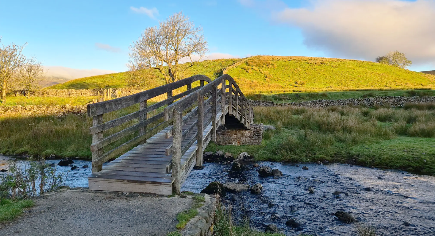
Ribble Way — A remarkable river ramble into the heart of the Dales
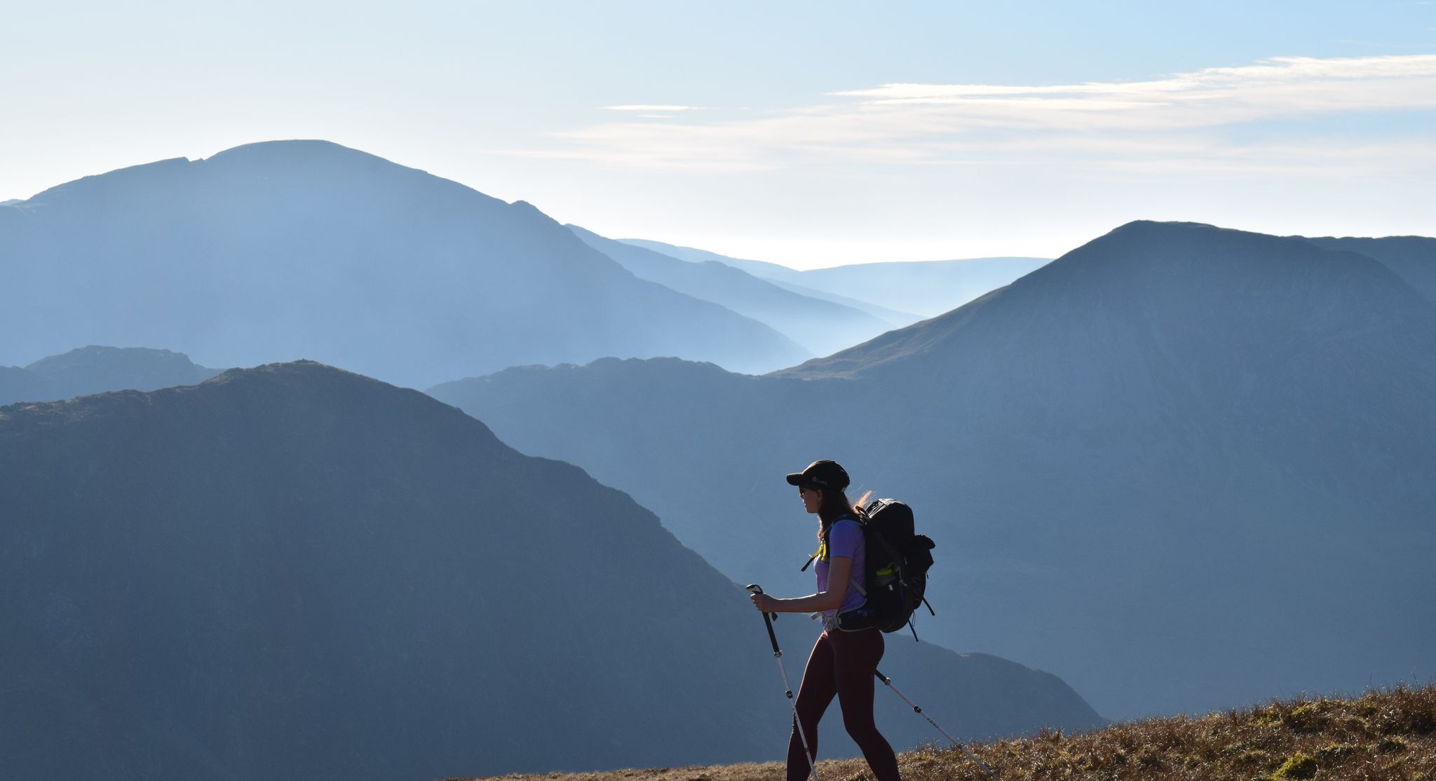
All the Wainwrights in seven weekends — a book by book adventure
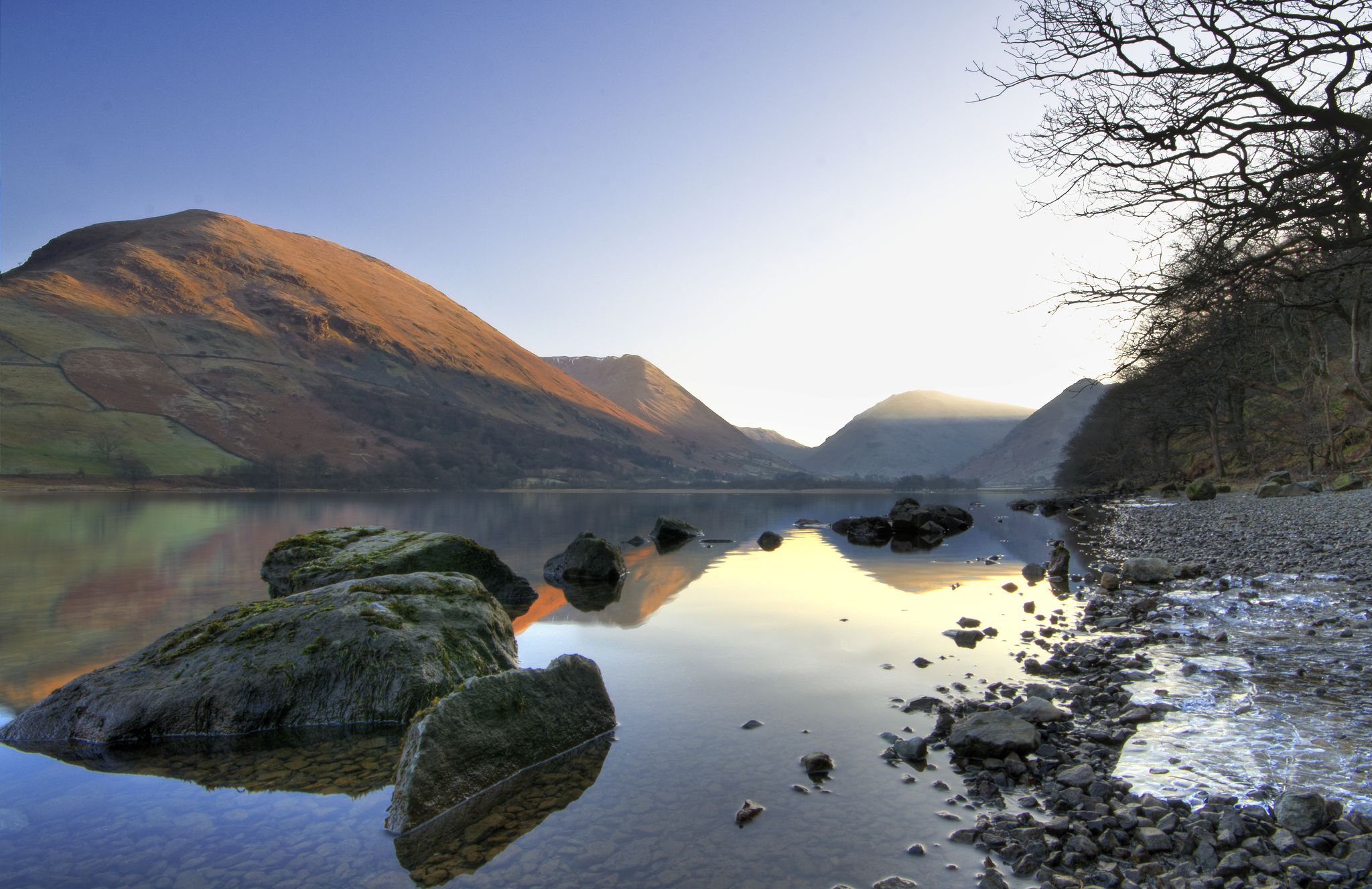
Lake to Lake Walk — Windermere to Kielder across the beautiful North
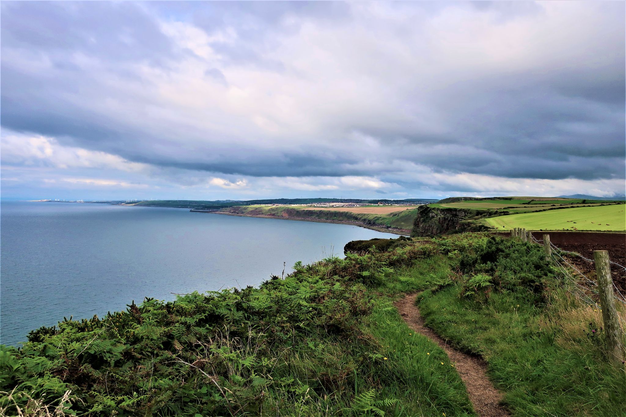
The Cumbria Coastal Way — Hike vibrant estuaries and historic coastline
Other adventures in the Pennines Mountains


Tips from the Community

Book a table for food in advance, book the campsite in advance too
0
0

Lingmoor Fell is a 469-meter (1,540-foot) Wainwright near Blea Tarn. If you are coming up from there, it is a good stiff climb of over 200 metres, but the views are worth it. The views out over Blea Tarn and the Langdale valley are super nice. The Langdale Pikes, in particular, look magnificent from here.
0
0

No Cycling allowed. Nice walking area
0
0

Functions as both a valve tower and an overflow, and is connected by a gangway to the shore
0
0

Always good to know where the toilets are - despite the cost!
0
0


Tom Ghyll (or Gill) is a fast flowing stream with two spectacular waterfalls. There is a path along it up to Tarn Hows. Or if you leave Tarn Hows down to Glen Mary car park.
7
0
Frequently Asked Questions
How many easy hiking trails are there in the Pennine Mountains?
The Pennine Mountains offer a vast network of trails, with over 2,400 easy hiking routes available. These trails traverse diverse landscapes, from rolling hills and expansive moorlands to deep valleys and picturesque dales.
Are there easy hiking trails that feature waterfalls in the Pennines?
Yes, the Pennines are known for their impressive waterfalls. You can explore routes like the Aira Force and Gowbarrow Park Trail, which leads through scenic woodland to a notable waterfall. Another excellent option is the Aysgarth Falls loop in the Yorkshire Dales National Park, showcasing multiple cascades.
What are some family-friendly easy walks in the Pennine Mountains?
Many easy trails in the Pennines are suitable for families. Routes with gentle gradients and clear paths are ideal. Consider the Around Tarn Hows — Lake District National Park, which offers a picturesque loop around a tarn with surrounding forest, perfect for a leisurely family outing.
Are there easy circular hiking routes in the Pennines?
Yes, the Pennines feature many easy circular routes. For example, the High Shaws Laithe and Valve Tower loop from Grimwith Reservoir Car Park offers a pleasant walk around a reservoir. Another option is the Thruscross Reservoir and Cloggers Lane loop, providing a scenic circuit with convenient parking.
What kind of natural features can I expect to see on easy Pennine hikes?
Easy Pennine hikes often showcase the region's diverse natural beauty. You'll encounter rolling hills, heather-covered moorlands, deep valleys, and meandering rivers. Many routes also feature impressive waterfalls, ancient woodlands, and unique geological formations, contributing to the Pennines being a UNESCO Global Geopark.
Are there easy trails that are suitable for dogs?
Most easy trails in the Pennines are dog-friendly, provided dogs are kept under control, especially around livestock. Always check local signage for specific restrictions, particularly in nature reserves or areas with ground-nesting birds. The varied terrain, from open moorlands to woodland paths, offers plenty of exploration for you and your canine companion.
What do other hikers enjoy most about easy trails in the Pennine Mountains?
The easy trails in the Pennine Mountains are highly rated by the komoot community, with an average score of 4.6 stars from over 42,900 reviews. Hikers often praise the stunning natural beauty, the sense of wildness and solitude on the moorlands, and the well-maintained paths that make these routes accessible to all abilities.
What are some easy hikes that include multiple waterfalls?
For an easy hike featuring multiple waterfalls, consider the Mill Gill Force and Whitfield Gill Force loop from Askrigg in the Yorkshire Dales National Park. This route allows you to experience two impressive cascades within a single, manageable walk.
Are there easy hikes around tarns or lakes in the Pennines?
Yes, the Pennines region, including parts of the Lake District National Park, offers beautiful easy hikes around tarns and lakes. The Tarn Hows, Tom Gill & Tom Heights loop is a popular choice, providing gentle paths with scenic water views. Another option is the Lanty's Tarn & Grisedale Beck loop from Glenridding.
What kind of attractions can I find near easy hiking trails in the Pennines?
Beyond the trails themselves, the Pennines offer various attractions. You might find interesting geological formations, historic sites, or even other outdoor activity hubs. For example, near some trails, you can find highlights like Gisburn Forest Bike Trails or scenic viewpoints such as High Tilberthwaite to Little Langdale Trail.
Are there easy hikes that offer views of crags or unique rock formations?
Yes, the Pennines' complex geological history has resulted in distinctive formations. You can find easy hikes that provide views of these features, such as the Embsay Crag and St Mary's Church loop from Embsay Reservoir, which offers views of Embsay Crag.
What is the best time of year for easy hikes in the Pennine Mountains?
The Pennine Mountains are beautiful year-round, but the best time for easy hikes is generally from late spring to early autumn (May to October). During these months, the weather is milder, paths are drier, and the moorlands are vibrant with heather. Winter walks are possible but require appropriate gear for potentially colder, wetter, or icy conditions.
Most popular routes in the Pennines Mountains
Most popular attractions in the Pennines Mountains

Get inspired with the komoot mobile app


Explore more
Browse the best Hikes in other regions.
