Routes

Planner

Features

Updates

App

Login or Signup

Get the App

Login or Signup

Routes
Hikes
Italy
Liguria

La Spezia

The best walks and hikes in La Spezia

4.5

(19738)

115,673

hikers

1,357

hikes

Hiking trails in La Spezia traverse a diverse landscape, characterized by rugged coastlines, terraced vineyards, and lush Mediterranean hills. The region, nestled between the Ligurian Sea and inland mountains, features a network of paths through chestnut and pine forests. Hikers can explore dramatic coastal cliffs, charming fishing villages, and elevated routes offering panoramic sea views.

Best hiking trails in La Spezia

  • The most popular hiking route is Il Sentiero Azzurro – Parco Nazionale delle Cinque Terre, a 9.2 miles (14.9 km) trail that takes 5 hours 41 minutes to complete. This difficult route connects the iconic Cinque Terre villages with panoramic coastal views.
  • Another top favourite among local hikers is Corniglia to Manarola via Volastra Trail, a moderate 7.1 miles (11.5 km) path. This route ascends through terraced vineyards and olive groves, offering elevated perspectives of the coastline.
  • Local hikers also love the Palmaria Island loop trail from Porto Venere, a 3.9 miles (6.2 km) trail leading through coastal paths and Mediterranean vegetation, often completed in about 2 hours 15 minutes.
  • Hiking in La Spezia is defined by dramatic coastal scenery, terraced vineyards, and dense Mediterranean forests. The extensive network offers options for various ability levels, from leisurely coastal walks to challenging mountain treks.
  • The routes in La Spezia are highly rated by the komoot community with an average score of 4.5 stars from over 14,000 reviews. More than 89,000 hikers have used komoot to explore La Spezia's varied terrain.

Last updated: July 7, 2026

4.8

(774)

4,636

hikers

#1.

Liguria Trail - Stage 4

22.6km

09:06

1,300m

1,300m

Embark on Liguria Trail - Stage 4, a challenging hike that covers 14.0 miles (22.6 km) with a significant elevation gain of 4262 feet (1299 metres). This route takes you through the rugged inland trails of Cinque Terre, connecting Riomaggiore to Manarola via Volastra. You will experience demanding climbs and descents, passing through terraced vineyards and offering glimpses of the Ligurian coast from various vantage points, including a notable panoramic view of Manarola.

Planning for this difficult stage means setting aside a full day, as it typically takes 9 hours and 5 minutes to complete. Make sure you wear sturdy hiking shoes to handle the varied terrain and carry plenty of water, especially during warmer months. Before you head out, check for any local conditions or seasonal closures, as parts of the trail within the National Park might have specific access requirements or temporary restrictions.

This stage is a deep dive into the less-traveled parts of the Cinque Terre, moving away from the immediate coastline to explore the region's agricultural heartland. You will pass by the Sanctuary of Our Lady of Health in Volastra, a historic site that adds a cultural layer to your journey. The trail highlights the unique way locals have adapted to the steep landscape, with ancient stone paths winding through cultivated terraces.

Navigate with device

Send to Phone

Save

Hard

Embark on the Il Sentiero Azzurro, also known as the Blue Path, a challenging hike through the Cinque Terre National Park. This difficult route spans 9.2 miles (14.9 km) and involves a significant elevation gain of 2638 feet (804 metres), typically taking around 5 hours and 41 minutes to complete. As you traverse the varied terrain, from paved sections to rocky paths with steep staircases, you will pass through lemon groves, olive groves, and vineyards. The trail connects the five iconic villages of Monterosso al Mare, Vernazza, Corniglia, Manarola, and Riomaggiore, offering views of the Ligurian Sea and the colorful cliff-side architecture. Be prepared for numerous ascents and descents, especially on the more demanding stretches between Corniglia and Vernazza, and Vernazza and Monterosso.

When planning your hike, remember that proper hiking shoes are strongly recommended due to the rocky and potentially slippery terrain. It is advisable to start early in the day to avoid the midday heat and larger crowds, particularly if you are hiking during the summer months. Access to some sections of the trail requires the purchase of a Cinque Terre Card, so be sure to check current requirements before you go. It is also crucial to verify the status of specific trail sections, as parts can be temporarily closed due to landslides or maintenance.

This historic coastal path is recognized as a UNESCO World Heritage site, highlighting its natural beauty and cultural significance. The Sentiero Azzurro was historically the primary link between the five isolated Cinque Terre villages, allowing locals to travel on foot for centuries. While some parts, like the Via dell'Amore between Riomaggiore and Manarola, offer an easier, paved walk, other sections present a more strenuous experience. The route offers a journey through the region's traditions, following paths once used by winemakers, fishermen, and pilgrims.

Hard
guide_signup
Let us show you the way with the komoot mobile app
With a free komoot account, you can easily find, customize, and navigate endless outdoor adventures.

Sign up for free

4.8

(617)

4,182

hikers

Embark on the Corniglia to Manarola via Volastra Trail, a moderate hike that takes you through the heart of Cinque Terre's terraced landscapes. You'll navigate varied terrain, from ancient stone stairs to narrow dirt paths, winding past historic vineyards and olive groves. This 7.1-mile (11.5 km) route involves a significant ascent of 2700 feet (823 metres), offering increasingly expansive coastal views as you progress. Expect to spend around 4 hours and 38 minutes immersed in this scenic journey, culminating in rewarding perspectives of Manarola as you descend towards the village. This trail provides unique views of Corniglia from above before reaching your destination.

When planning your visit, note that this route via Volastra serves as the primary alternative to the direct coastal path, which is currently closed due to landslides. The initial section from Corniglia presents a substantial climb of stone steps for about 40 minutes, reaching approximately 1312 feet (400 metres) above sea level. It is generally recommended to hike from Corniglia to Manarola, as the ascent from Corniglia is considered more gradual than starting from Manarola. Be prepared for the initial climb and ensure you have adequate water and sun protection, especially during warmer months.

This trail is nestled within the Parco Nazionale delle Cinque Terre, a UNESCO World Heritage site renowned for its dramatic coastal scenery and cultural landscape. The route offers a deep dive into the region's agricultural heritage, showcasing the ingenious terracing systems that have shaped the land for centuries. You will experience the authentic atmosphere of these historic villages and the rugged beauty of the Ligurian coastline. This particular path is a testament to the resilience and adaptation of the local communities.

Moderate

4.8

(594)

4,113

hikers

Hike from Corniglia to Manarola via Porciana, a moderate 7.4-mile trail in Cinque Terre offering stunning vineyard and coastal views.

Moderate

4.7

(436)

3,758

hikers

Embark on the moderate hike from Monterosso to Vernazza, a rewarding journey spanning 5.5 miles (8.9 km) with an elevation gain of 1311 feet (400 metres), typically taking 3 hours and 17 minutes. The path winds through varied and demanding terrain, featuring hundreds of uneven stone steps and steep sections, especially when starting from Monterosso. You will pass ancient stone walls, terraced vineyards growing Sciacchetrà wine grapes, and groves of olive and lemon trees, often accompanied by the distinct smell of citrus. Along the way, enjoy spectacular panoramic views of the Ligurian Sea and the dramatic reveal of Vernazza's colorful harbor and historic tower.

Before you set out, remember that sturdy trekking shoes or sneakers with good grip are mandatory, and rangers may enforce this rule. It is highly recommended to carry at least 1.5 liters of water per person, as refill points are scarce. Access to the trail requires a valid Cinque Terre Card, which helps support the maintenance and preservation of these historic paths. While you can hike in either direction, starting from Monterosso means an immediate, demanding climb with many steps.

This segment is a prominent part of the Cinque Terre's famous "Sentiero Azzurro" (Blue Path) and is arguably the most photographed trail in the National Park. It offers more than just a hike; it is a cultural immersion, allowing you to walk in the footsteps of centuries of local history. These trails once served as vital lifelines connecting the isolated villages, providing an authentic way to experience the region's unique blend of natural beauty and tradition.

Moderate

Clifftop trail connecting Porto Venere to Riomaggiore through terraced vineyards and Mediterranean scrub.

Hard

4.7

(706)

3,669

hikers

Hike the moderate Sentiero Liguria Stage 5, a 4.8-mile (7.8 km) route from Monterosso to Bonassola. This trail involves an elevation gain of 930 feet (284 metres) and typically takes about 2 hours and 53 minutes to complete. You will experience the transition from the shade of the Cinque Terre forest, where ancient trees filter the sunlight, to open vistas of the Ligurian Sea. Along the way, look for charming water fountains, including a unique sculptural one, adding character to your journey.

Planning your visit is straightforward, as the trail is well-marked and maintained. You can easily reach Monterosso, the starting point, by train. After completing your hike in Bonassola, you can return by train from there as well, making public transport a convenient option for this linear route. Consider starting your hike in the morning to enjoy cooler temperatures and clearer views.

This stage is part of the official Sentiero Liguria network, offering a less crowded alternative to the popular Sentiero Azzurro. It still provides the stunning coastal scenery the region is known for, with sweeping views of Levanto Bay and its colorful houses. You will also pass the artistic Bed & Breakfast MareMisco, known for its creative sculptures and garden art, which offers an unexpected cultural highlight.

Moderate

4.8

(335)

2,570

hikers

The Sentiero Verde Azzurro offers a challenging coastal hike connecting the famous Cinque Terre villages. You'll navigate a difficult 11.8-mile (18.9 km) route, gaining 3740 feet (1140 metres) in elevation, which typically takes around 7 hours and 33 minutes to complete. Expect a mix of well-maintained paths, stairs, and narrow sections along the mountainside, often shaded by terraced vineyards. The trail provides continuous views of the turquoise Ligurian Sea, making the effort worthwhile as you pass through ancient olive groves and hear the gentle sound of waves below. You will experience the unique atmosphere of moving between isolated fishing communities, with glimpses of colorful old towns like Manarola clinging to the cliffs.

This route connects the five main villages of Riomaggiore, Manarola, Corniglia, Vernazza, and Monterosso al Mare. You can start your hike from any of these villages, which are well-connected by train, offering flexibility for your adventure. The train service also allows you to return to your starting point easily after completing a section or the entire trail. Consider an early start to make the most of the daylight and avoid the busiest times, especially during peak tourist seasons. While the trail is generally well-maintained, some sections can be narrow, so wear appropriate hiking footwear.

The Sentiero Verde Azzurro is named for the blue hues of the ocean visible for much of its length, highlighting the deep connection between the land and the Ligurian Sea. This ancient route served as the primary link between these fishing communities for centuries, with its stone steps and cobblestone paths telling stories of the past. As you hike, you'll find opportunities to meet locals, observe house pets sunbathing, and discover local vineyards. The trail offers peaceful moments among olive groves, creating memories that capture the timeless spirit of the Italian Riviera.

Hard

4.8

(301)

1,253

hikers

Explore the natural beauty of Palmaria Island on a moderate loop trail, covering 3.9 miles (6.2 km) with an elevation gain of 803 feet (245 metres). This hike typically takes around 2 hours and 14 minutes to complete, offering a journey through varied landscapes. You will walk through Mediterranean scrub, where free-roaming goats are sometimes seen, and ascend to viewpoints that provide clear sightlines of the iconic San Pietro Church across the water. The path circles the island, taking you past pristine shorelines and up high slopes, giving you a feel for the island's wild atmosphere.

To begin this island adventure, you will need to catch a ferry from Porto Venere's harbor. Regular shuttle boats make the short crossing to Palmaria, dropping you off at Terrizzo, where the 510 trail awaits. The path is well-marked, so you can focus on the scenery without needing a map. Plan your visit to allow ample time for the ferry journey and the hike itself.

This trail offers a distinct experience compared to the more frequented paths along the Cinque Terre coast. You will find fewer people here, allowing for a more relaxed connection with nature. The island's history is also present, with sites like the historic Forte Cavour, a 19th-century military fortress, adding another layer to your exploration.

Moderate

4.8

(281)

1,179

hikers

Hike the moderate 3.6-mile Ring of Palmaria Island trail for panoramic sea views, lush Mediterranean vegetation, and historical sites.

Moderate
Sign up for free to see 1,348 more hikes in La Spezia.

Get access to more routes and recommendations from other explorers.

Sign up for free

Already have an account?

Our route recommendations are based on thousands of hikes, rides, and runs completed by other people on komoot.

Start today with a free account

Your next adventure awaits.

Login or Signup

Popular around La Spezia

Hiking around Parco Nazionale delle Cinque Terre
Hiking around Riomaggiore
Hiking around Vernazza
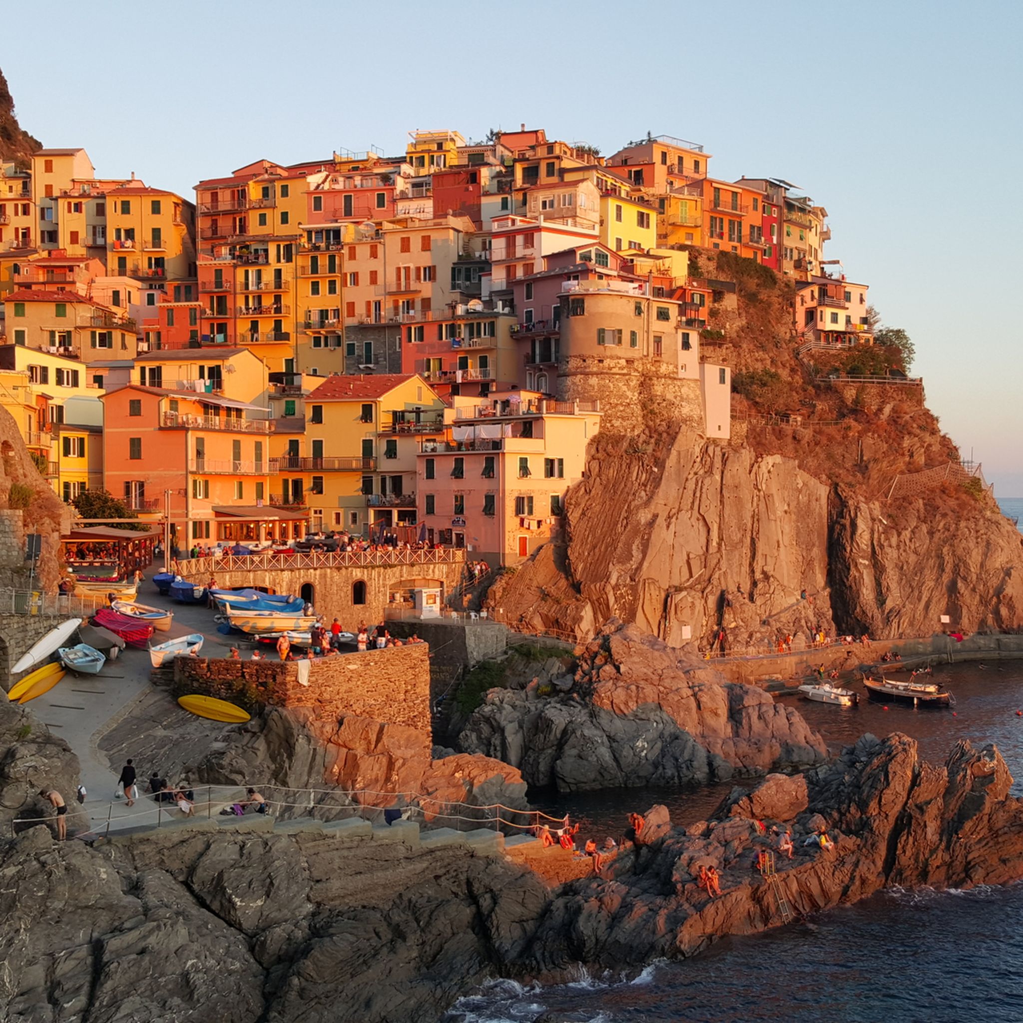
Hiking around Monterosso Al Mare
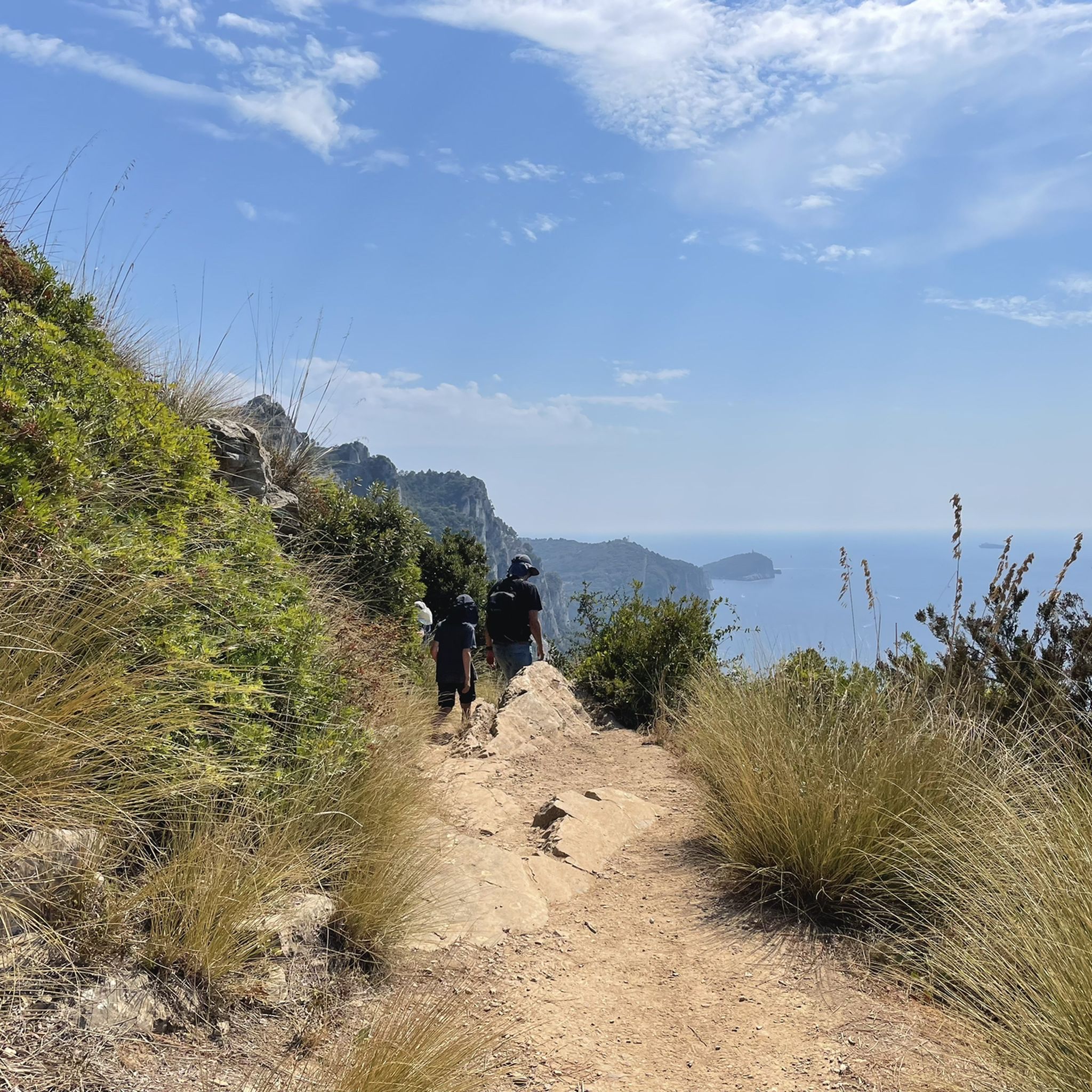
Hiking around Portovenere
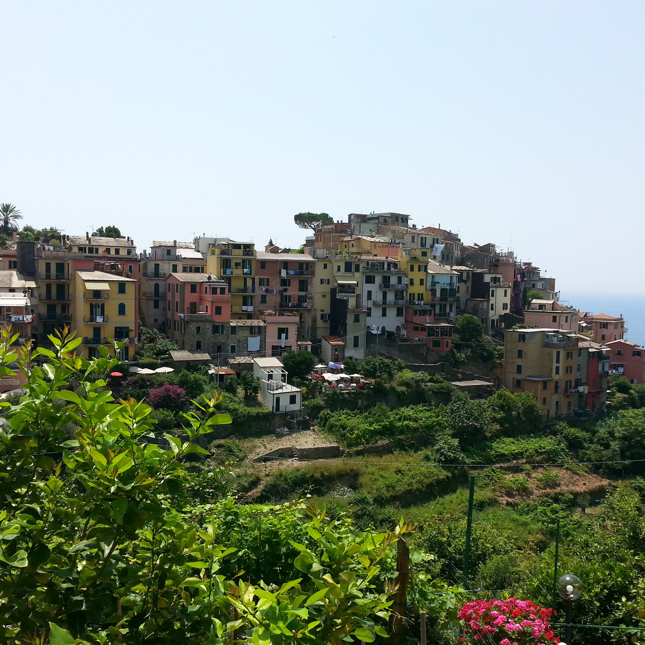
Hiking around Levanto
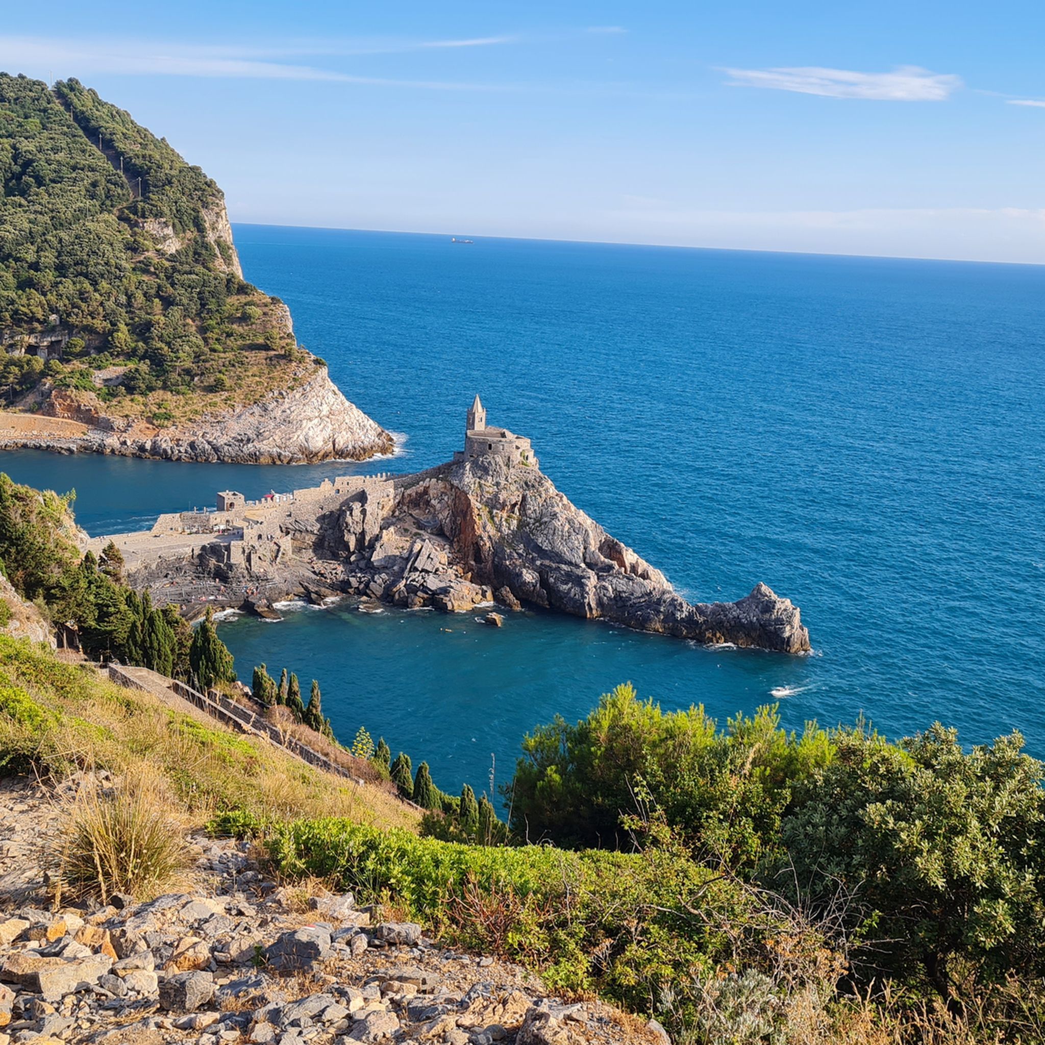
Hiking around Parco naturale regionale di Porto Venere
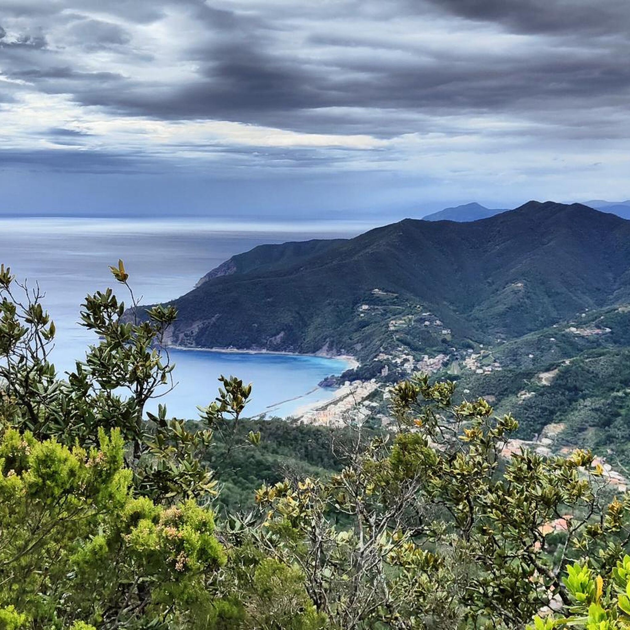
Hiking around Sesta Godano

Hiking in Deiva - Bracco - Pietra Di Vasca - Mola
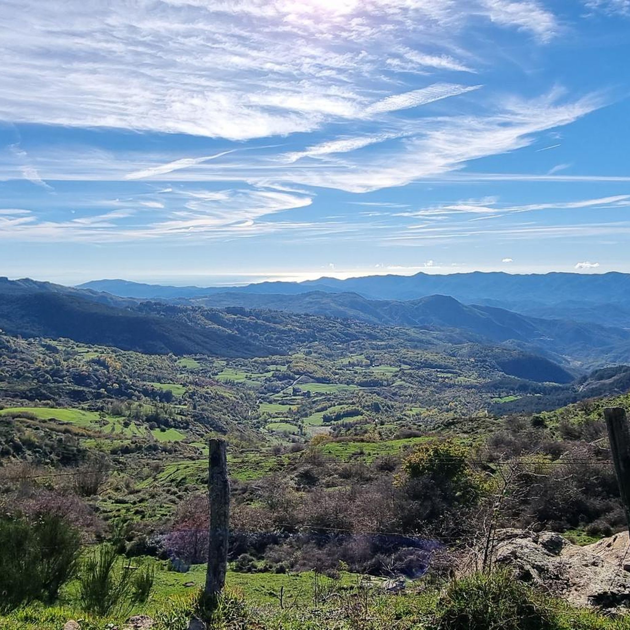
Hiking in Monte Antessio - Chiusola

Other adventures in La Spezia

Via della Costa – A breathtaking hike along the Italian Riviera

Hiking Collection by

Marika Abbà

Tips from the Community

Geograph
June 21, 2026, Campiglia

Campiglia is a small, charming place and starting point for great hikes over long stairs to beaches that are little visited. And probably will remain so due to the many steps. :-)

Translated by Google

0

0

Fantastic views on this hike

Translated by Google

0

0

Fantastic views on this hike

Translated by Google

0

0

Fantastic views along the route.

Translated by Google

0

0

Fantastic views along the route.

Translated by Google

0

0

Fantastic views along the route.

Translated by Google

0

0

The B&B Maremesco surprises with unusual sculptures in a stunning location above Levanto. More info: https://beb.it/maremesco/

Translated by Google

0

0

Here you'll also find the artwork "Terzo Paradiso" by Michelangelo Pistoletto, created in 2003. More info: https://terzoparadiso.org/en/what-is

Translated by Google

0

0

Frequently Asked Questions

How many hiking trails are there in La Spezia?

La Spezia offers an extensive network of over 1,300 hiking trails, catering to a wide range of preferences and skill levels. You'll find everything from leisurely coastal walks to challenging mountain treks through diverse landscapes.

What kind of terrain can I expect on hikes in La Spezia?

Hiking in La Spezia features incredibly diverse terrain. You can expect rugged coastlines, terraced vineyards, lush Mediterranean hills, and paths winding through chestnut and pine forests. Many routes offer dramatic coastal cliffs, charming fishing villages, and elevated perspectives with panoramic sea views. Some trails, particularly around Portovenere, involve rocky paths along the steep coast.

Are there easy hikes suitable for beginners in La Spezia?

Yes, La Spezia offers many easier routes. While the famous Cinque Terre coastal path can be challenging in parts, sections like the 'Via dell'Amore' between Riomaggiore and Manarola are known for easier, romantic strolls. Overall, there are nearly 400 easy routes available in the region.

Can I find challenging long-distance trails in the La Spezia region?

Absolutely. For experienced hikers seeking a challenge, La Spezia provides several demanding routes. The Liguria Trail - Stage 4, for example, is a difficult 22.6 km route with significant elevation gain. Another challenging option is the Porto Venere to Riomaggiore via Alta Via delle Cinque Terre, which covers over 20 km.

Are there family-friendly hiking options in La Spezia?

Yes, many trails in La Spezia are suitable for families. While specific routes vary, look for paths with moderate difficulty and shorter durations. The region's charming villages and coastal views often keep younger hikers engaged. Consider exploring parts of the Montemarcello Natural Park for trails through forests with less extreme elevation changes.

Are dogs allowed on hiking trails in La Spezia?

Generally, dogs are permitted on many hiking trails in the La Spezia region, especially outside the most crowded sections of the Cinque Terre National Park. However, specific rules can vary by park or protected area. It's always best to keep your dog on a leash and ensure you clean up after them. For trails within the Cinque Terre, check local regulations as some paths might have restrictions or require dogs to be muzzled.

What are some notable viewpoints or natural features I can see while hiking?

La Spezia's trails offer stunning natural features and viewpoints. You can enjoy panoramic views of the Ligurian Sea, the Apuan Alps, and the River Magra. Highlights include the View of Porto Venere and the island of Palmaria from Forte del Muzzerone, or the Panoramic view over La Caletta and the towering cliffs. Many routes also pass through fragrant citrus groves and offer opportunities for birdwatching.

Do I need a permit to hike in Cinque Terre?

Yes, to access some of the most popular coastal trails within the Cinque Terre National Park, such as the famous Sentiero Azzurro (Blue Path), you typically need a 'Cinque Terre Card'. This card helps manage visitor flow and contributes to trail maintenance. It's advisable to purchase it in advance, especially during peak season.

How can I access hiking trails in La Spezia using public transport?

Many pathways around La Spezia are easily accessible via public transport. The train is a popular and efficient way to reach the Cinque Terre villages, from which numerous trails depart. Buses and even boats also serve various coastal towns and trailheads, making it convenient to start and end your hikes without a car.

Are there circular hiking routes available in La Spezia?

Yes, you can find several circular hiking routes in the La Spezia area. A popular option is the Palmaria Island loop trail from Porto Venere, which offers beautiful coastal scenery. Another is the Sentiero Verde Azzurro - Punta Mesco Loop, providing a comprehensive experience of the area's natural beauty.

What is the best time of year to go hiking in La Spezia?

The best time for hiking in La Spezia is generally spring (April to June) and autumn (September to October). During these seasons, the weather is pleasant, temperatures are mild, and the landscapes are vibrant. Summer can be very hot and crowded, especially in the Cinque Terre, while winter offers cooler temperatures but some services or trails might be limited.

What do other hikers say about their experience in La Spezia?

The hiking experience in La Spezia is highly rated by the komoot community, with an average score of 4.5 stars from over 14,000 reviews. Hikers often praise the dramatic coastal scenery, the charm of the fishing villages, and the well-maintained paths that lead through terraced vineyards and lush Mediterranean forests.

Are there any historical sites or castles to explore near the trails?

Yes, the La Spezia region is rich in history and offers several historical sites and castles. You can visit the San Giorgio Castle in La Spezia itself, or explore the Firmafede Fortress. The Ameglia Historic Centre also provides a glimpse into the region's past, often accessible as part of a hike.

Can I find hikes that feature lakes in the La Spezia area?

While La Spezia is primarily known for its coastal and hill trails, you can find routes that lead to or near lakes. The Bozi di Saudino Lakes and the Lake of the Saudino Nature Park are notable natural features that can be incorporated into your hiking plans, offering a different natural landscape to explore.

Most popular routes in La Spezia

Family-friendly hikes in La Spezia

Most popular attractions in La Spezia

Places to see

Store rating

Get inspired with the komoot mobile app

With a free komoot account, you can easily find, customize, and navigate endless outdoor adventures.

or

Join komoot Now

Store rating

Didn’t find what you were looking for?

Check out more Hikes throughout La Spezia below and find the perfect route in your destination.

SarzanaLevantoAmegliaDeiva MarinaMonte Cornoviglio - Monte Fiorito - Monte DragnoneParco naturale regionale di Porto VenereParco naturale regionale di Montemarcello - MagraRiccò Del Golfo Di SpeziaBolanoLericiRiomaggioreFolloVarese LigureMaissanaSesta GodanoGruzza Di VeppoArcolaVernazzaPignonePortovenereMonte Gottero - Passo Del LupoParco Della Magra - VaraLuniCalice Al CornoviglioFramuraBonassolaParco Nazionale delle Cinque TerreMonterosso Al MareZignagoBorghetto Di VaraBrugnatoBeverinoCarroVezzano LigureMonte Antessio - ChiusolaPunta MescoDeiva - Bracco - Pietra Di Vasca - MolaCastelnuovo MagraSanto Stefano Di MagraCarrodanoRocchetta Di Vara

Explore more

Browse the best Hikes in other regions.

Nearby adventure guides

Things to Do around Brugnato

background

Get ready to conquer new peaks

Sign up for Free

Explore
RoutesRoute plannerFeaturesHikesMTB TrailsRoad cycling routesBikepackingSitemap
Download the app
Follow Us on Socials

© komoot GmbH

Privacy Policy