The 5 Most Amazing Peaks around Tournefort
Best mountain peaks around Tournefort provide opportunities for outdoor exploration within a mountainous landscape. The region is characterized by its elevated terrain, offering diverse viewpoints and varied trails. These peaks are part of the natural environment, contributing to the area's geography. Visitors can discover 5 notable summits in the vicinity of Tournefort.
Best mountain peaks around Tournefort
- The most popular mountain peaks is Férion Summit, a summit that offers a 360° panorama of the Var plain, the Alps, and…
Last updated: June 29, 2026
Férion Summit
Highlight • Summit
Translated by Google •
Tip by

Mont Vial
Highlight • Summit
Translated by Google •
Tip by
Sign up now to discover places like this
Get recommendations on the best single tracks, peaks, & plenty of other exciting outdoor places.
Sign up for free
Brec d'Utelle
Highlight • Summit
On a clear day, it offers an unforgettable panorama of the Mercantour, the Côte d'Azur and the surrounding valleys (Var, …
Translated by Google •
Tip by

Mont Férion Watchtower Shelter
Highlight • Mountain Hut
Translated by Google •
Tip by

Start today with a free account
Your next adventure awaits.
Login or Signup

Tips from the Community

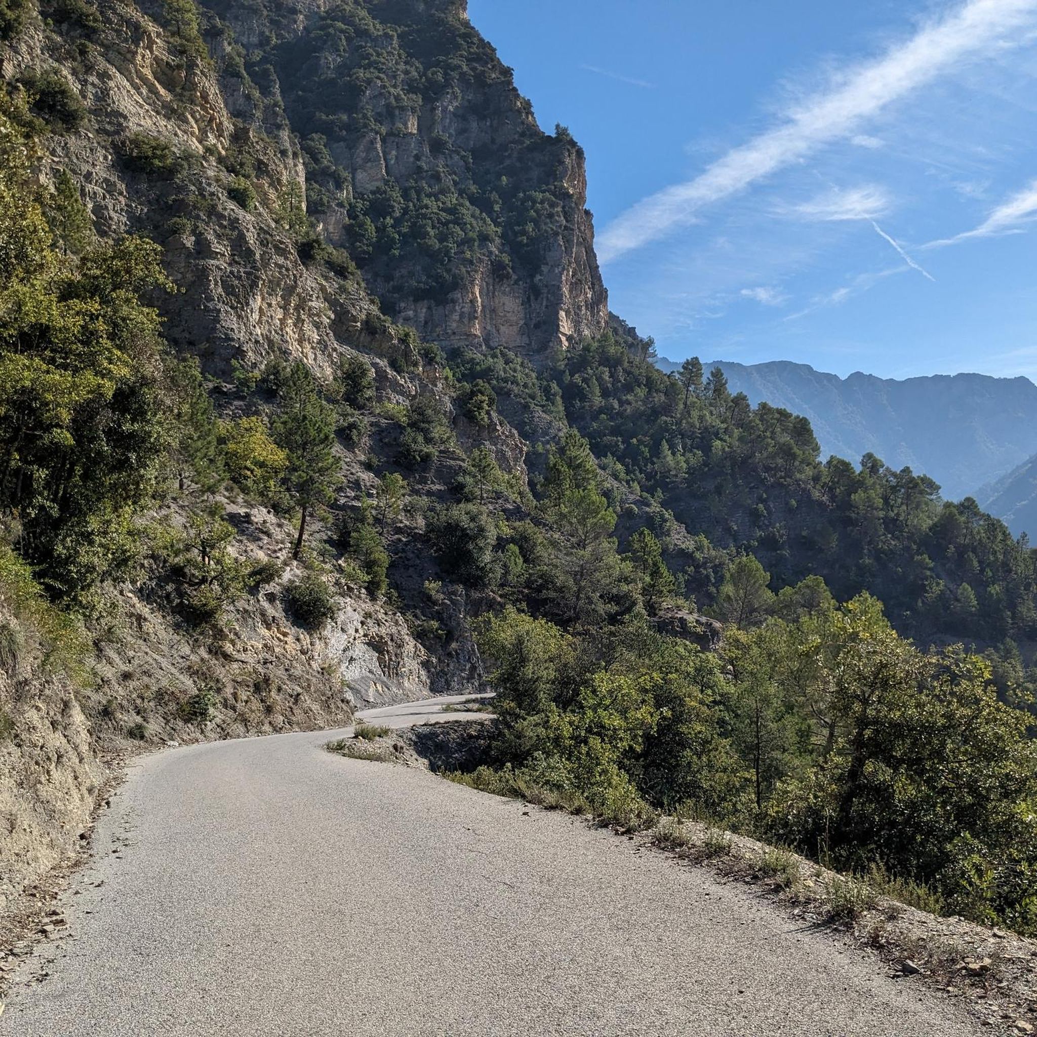
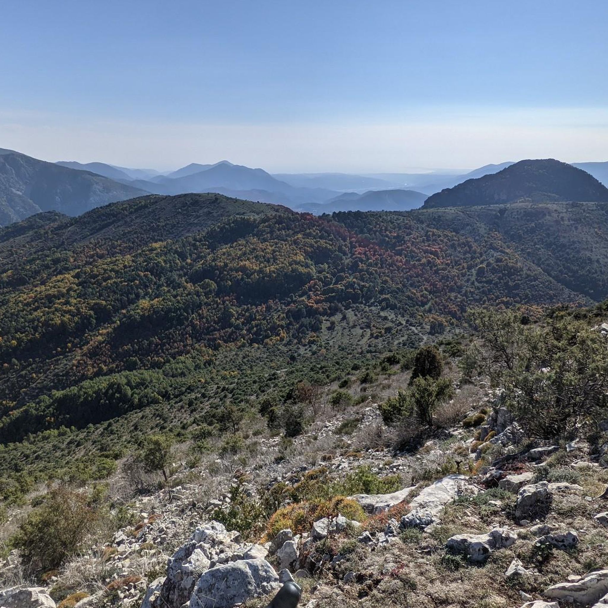
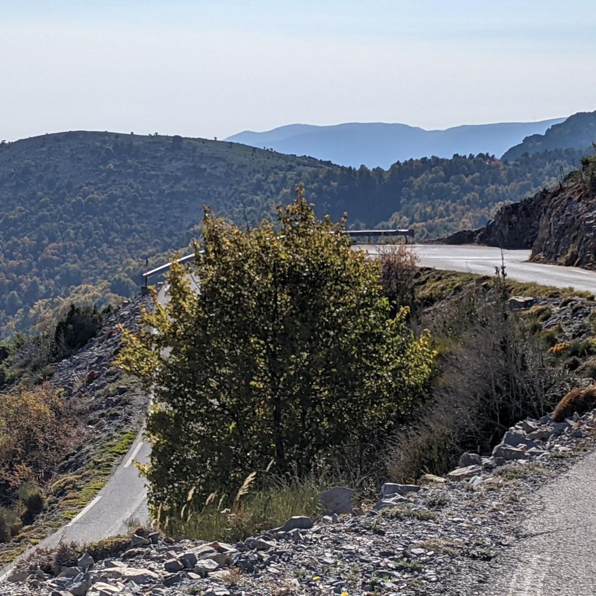
Accessible by gravel (40mm tyres) or by mountain bike, the summit of Mont Férion (1412m) will be your finish line if you are a cyclist in full climb. Your reward will be the panoramic view: from the Alps and the Mercantour, to the Mediterranean, passing through the Paillon valley and the Var valley. You will find a watchtower which serves as a lookout to protect the massifs against fire and even houses a small refuge on the ground floor of the tower with a fireplace to warm walkers in difficulty.
0
0
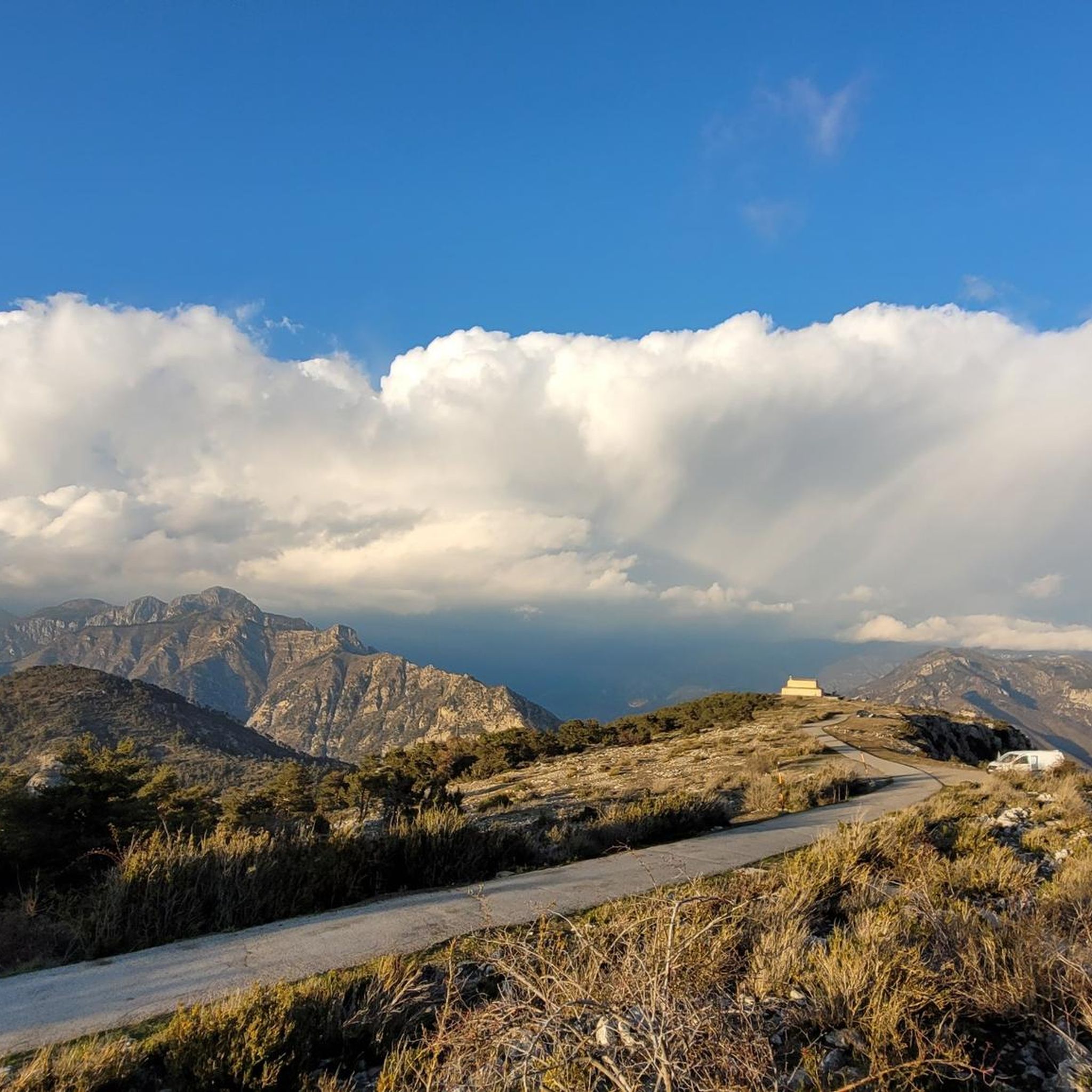
The watchtower of Mont Férion (1412m), will be your finish line if you are a cyclist in full ascent of Férion. It also serves as a lookout to protect the massifs against fire and even houses a small refuge on the ground floor of the tower with a fireplace to warm walkers in difficulty. The view at the top is panoramic: from the Alps and the Mercantour, to the Mediterranean via the Paillon valley and the Var valley.
0
0

Very nice view of the Plaine du Var / Nice and 360° around.
0
0

The Brec d'Utelle is a summit culminating at 1,604 meters. On a clear day, it offers an unforgettable panorama of the Mercantour, the Côte d'Azur and the surrounding valleys (Var, Tinée, Vésubie). Note that "brec", a name of Gallic origin, means "point of rock", "peak", or "steep place".
0
0

Culminating at 1550 meters, Mont Vial is one of the few peaks that can be identified from the sea. From the top, enjoy the beautiful panoramic view of the neighboring peaks!
0
0

Mont Férion (1,412 m) dominates the village of Levens. This is the highest point of the Férion range. The building at the top is a necessary DFCI watchtower due to the fire tendency in the area.
3
0

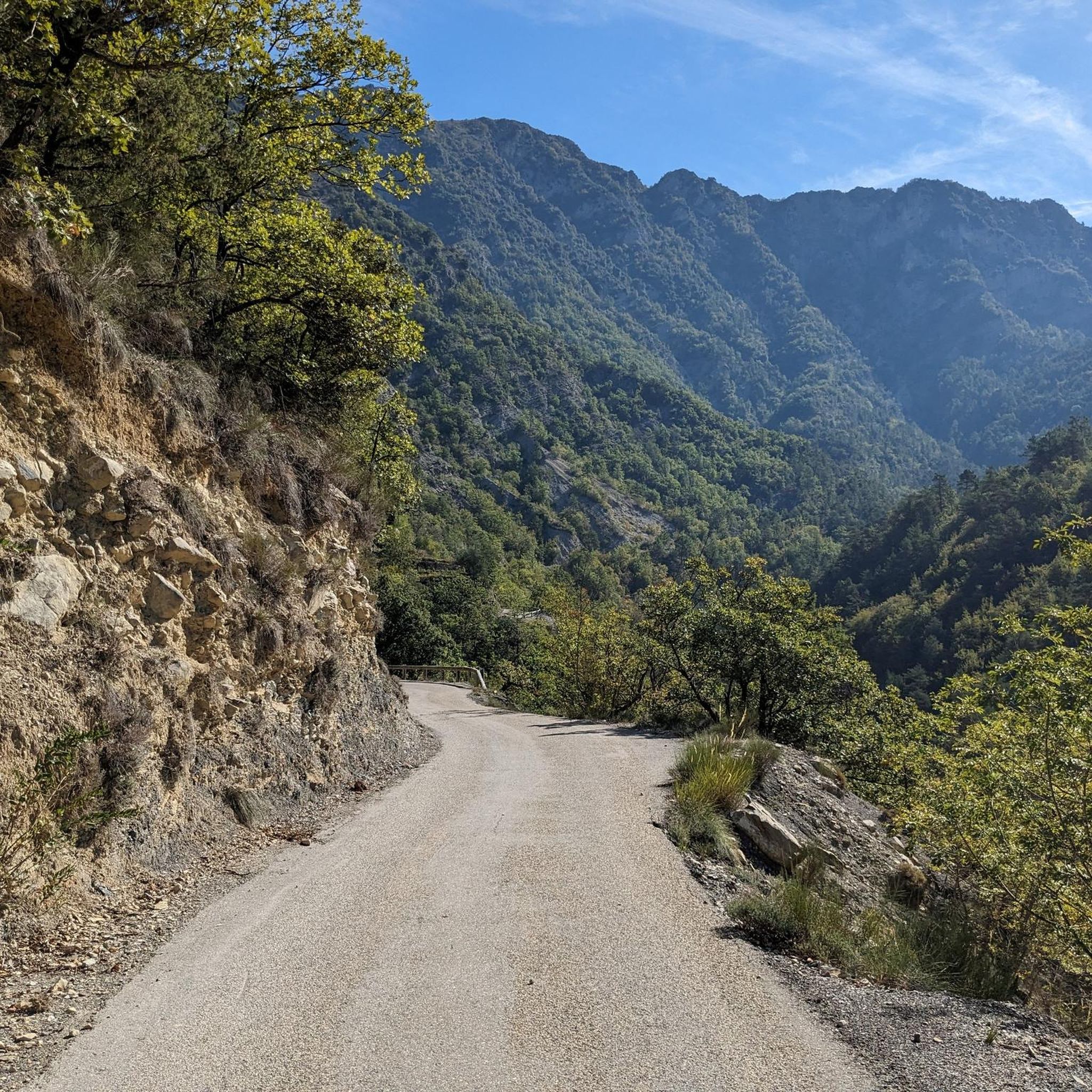
A nice scenic route between the Italian and French border
0
0
Frequently Asked Questions
Which mountain peaks offer the best panoramic views around Tournefort?
For breathtaking panoramic views, consider visiting Férion Summit, which provides a 360° panorama of the Var plain, the Alps, and the Mediterranean. Brec d'Utelle offers unforgettable views of the Mercantour, the Côte d'Azur, and surrounding valleys. Additionally, Mont Vial provides extensive views of neighboring mountains and the Plaine du Var / Nice area.
What outdoor activities can I do near the mountain peaks around Tournefort?
The region around Tournefort's mountain peaks is excellent for various outdoor activities. You can explore numerous routes for hiking, gravel biking, and mountain biking. For detailed routes, check out the guides for Hiking around Tournefort, Gravel biking around Tournefort, and MTB Trails around Tournefort.
Are there beginner-friendly mountain hikes around Tournefort?
While many trails in the region are rated moderate to difficult, you can find some accessible options. For instance, the 'Tourrette-Levens Village loop from Saint-Blaise' is a moderate gravel biking route that could be adapted for hiking. Always check the specific route details and difficulty ratings on komoot's Hiking around Tournefort guide to find trails suitable for your experience level.
What is the average hiking duration for trails near Tournefort's mountain peaks?
Hiking durations vary significantly depending on the specific trail and your pace. For example, a moderate hike like 'Revest-les-Roches to Mont Vial - loop' is about 12.5 km. More challenging routes like 'The Madonna of Utelle – Chapelle Saint-Antoine loop' or 'Brec d'Utelle loop from La Tour' are around 14-18 km, which can take several hours to a full day. Always consult the route details on komoot for estimated times.
Are there any geological features of interest around Tournefort's mountains?
The term 'brec' in Brec d'Utelle is of Gallic origin and means 'point of rock,' 'peak,' or 'steep place,' indicating the rugged geological nature of some of the summits. The peaks themselves, like Mont Vial, are prominent features that stand out in the landscape, offering unique perspectives on the region's topography.
What should I wear for mountain hiking around Tournefort?
When hiking in the mountains around Tournefort, it's advisable to wear layers to adapt to changing temperatures, especially at higher altitudes. Sturdy hiking boots are essential for varied terrain. Given the fire tendency in the area, especially around Férion Summit, consider sun protection like hats and sunscreen. Always carry enough water.
Are there any less crowded mountain trails or peaks to explore near Tournefort?
While popular peaks like Férion Summit and Brec d'Utelle attract visitors, the broader region offers many trails where you can find more solitude. Exploring routes within the Hiking around Tournefort guide that are rated 'difficult' or are longer in distance might lead to fewer people. Early mornings or weekdays are generally good times to avoid crowds.
What do visitors enjoy most about the mountain peaks around Tournefort?
Visitors particularly appreciate the extensive panoramic views offered by the summits, such as the 360° vista from Férion Summit stretching from the Alps to the Mediterranean. The diverse trails for hiking and biking, and the sense of accomplishment from reaching peaks like Mont Vial, are also highly valued by the komoot community.
Are there specific trails for mountain biking near Tournefort's peaks?
Yes, there are dedicated mountain biking trails. For example, you can find routes like 'Mont Vial depuis Gilette en boucle' or 'Col de la Porte en boucle' which are challenging MTB options. Explore the MTB Trails around Tournefort guide for a comprehensive list of routes, including those around Mont Vial.
Can I find any gravel biking routes that include the mountain peaks?
Absolutely. The region offers several gravel biking routes that incorporate the mountain peaks. For instance, the 'Crete du ferion – Férion Summit loop from Levens' is a difficult gravel route that takes you to Férion Summit. You can find more options in the Gravel biking around Tournefort guide.
Is there parking available at the trailheads for mountain peaks near Tournefort?
While specific parking information for every trailhead isn't detailed, many mountain trails in regions like Tournefort typically have designated parking areas near popular starting points or villages. It's recommended to check the specific komoot tour details for the trailhead you plan to use, as users often add parking information in the tour descriptions or comments.
What is the best time of year to hike the mountains around Tournefort?
The best time to hike the mountains around Tournefort generally depends on the specific peak and your preferences. Spring and autumn often offer pleasant temperatures and vibrant scenery. Summer can be hot, especially at lower elevations, but higher peaks might provide cooler air. Winter can bring snow, making some trails more challenging or inaccessible without proper gear. Always check local weather conditions before heading out.
Most popular routes around Tournefort
Most popular attractions around Tournefort

Get inspired with the komoot mobile app


Explore more
See even more amazing summits around Tournefort with these guides:
