The best gravel rides around Tournefort
4.5
(4)
57
riders
1
ride
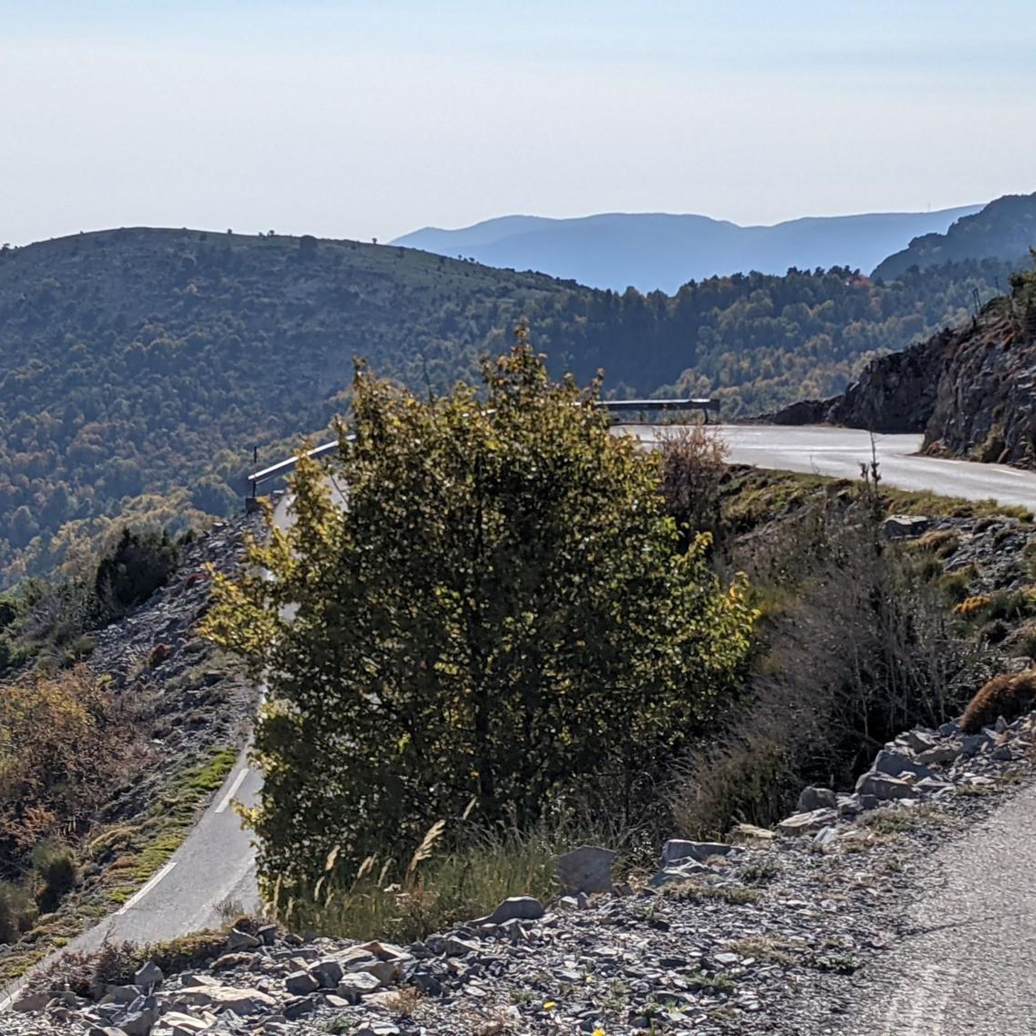
Gravel biking around Tournefort features routes through the rugged terrain of the Alpes-Maritimes region, situated in the Nice hinterland between the Tinée and Var valleys. The landscape is characterized by significant elevation changes, deep gorges, and mountain ridges, offering challenging climbs and descents. Trails often traverse forested areas and open sections with panoramic views of the surrounding valleys and peaks. This area provides a demanding environment suitable for experienced gravel bikers.
Best gravel bike trails around Tournefort
- The most popular…
Last updated: July 6, 2026
4.5
(2)
21
riders
39.8km
03:29
1,290m
1,290m
Hard gravel ride. Very good fitness required. You may need to push your bike for some segments of this route.
4.5
(2)
22
riders
51.6km
04:16
1,520m
1,520m
Hard gravel ride. Very good fitness required. Mostly paved surfaces. Suitable for all skill levels.

Sign up for free
6
riders
28.4km
02:30
930m
930m
Hard gravel ride. Very good fitness required. You may need to push your bike for some segments of this route.
5
riders
25.5km
01:59
560m
560m
Hard gravel ride. Very good fitness required. Mostly paved surfaces. Suitable for all skill levels.
3
riders
16.1km
01:11
320m
320m
Moderate gravel ride. Good fitness required. Mostly paved surfaces. Suitable for all skill levels.
Our route recommendations are based on thousands of hikes, rides, and runs completed by other people on komoot.
Start today with a free account
Your next adventure awaits.
Login or Signup
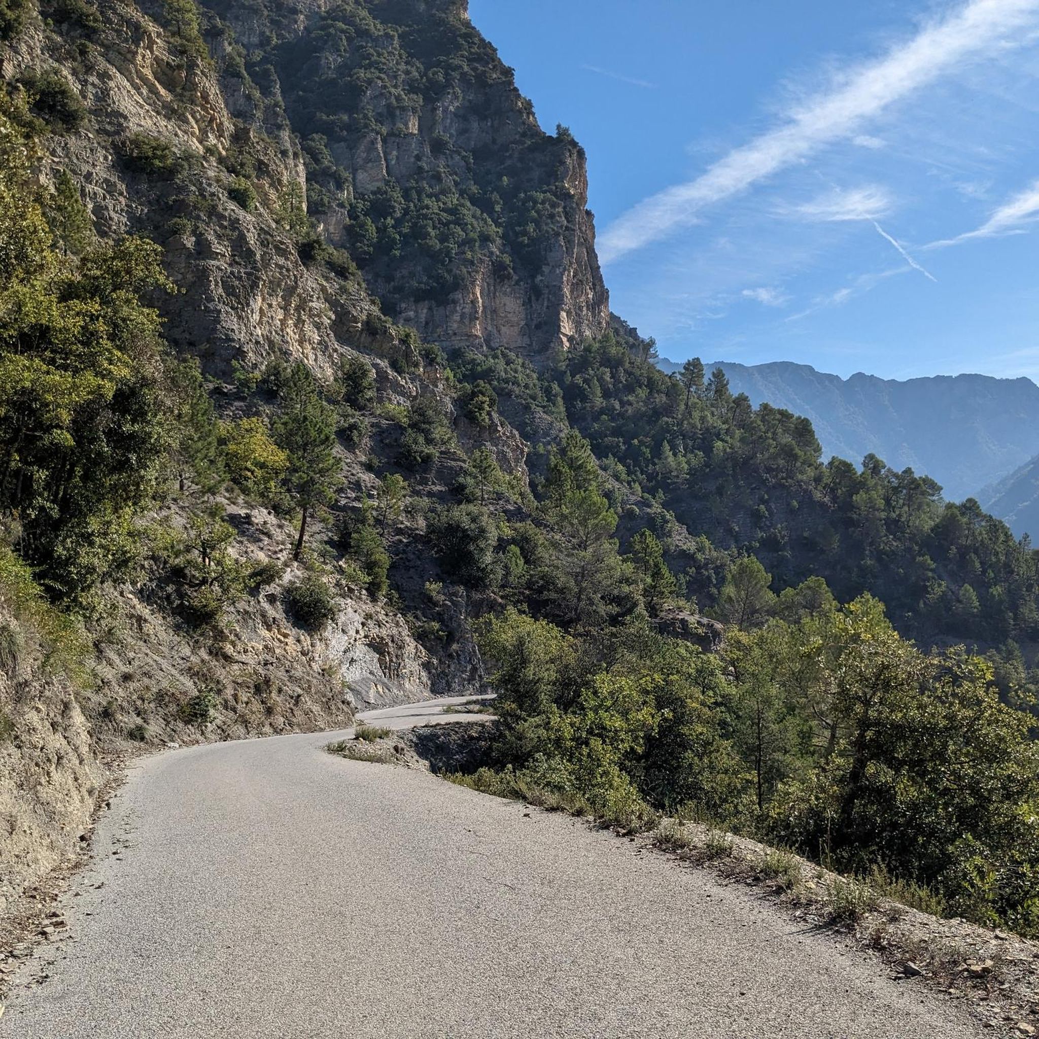
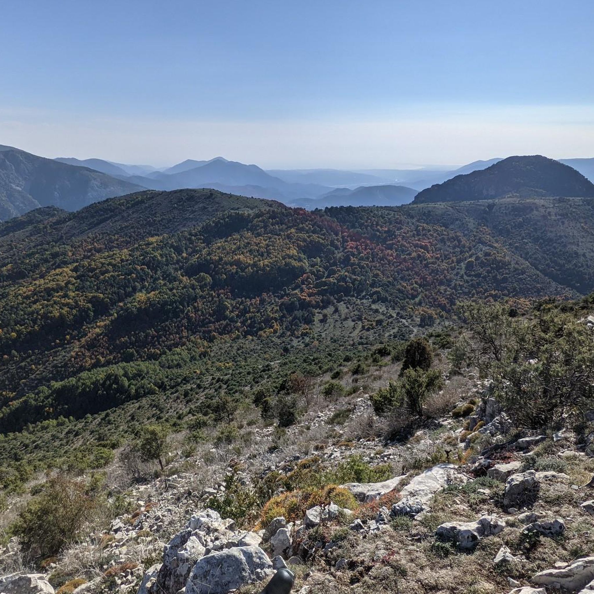
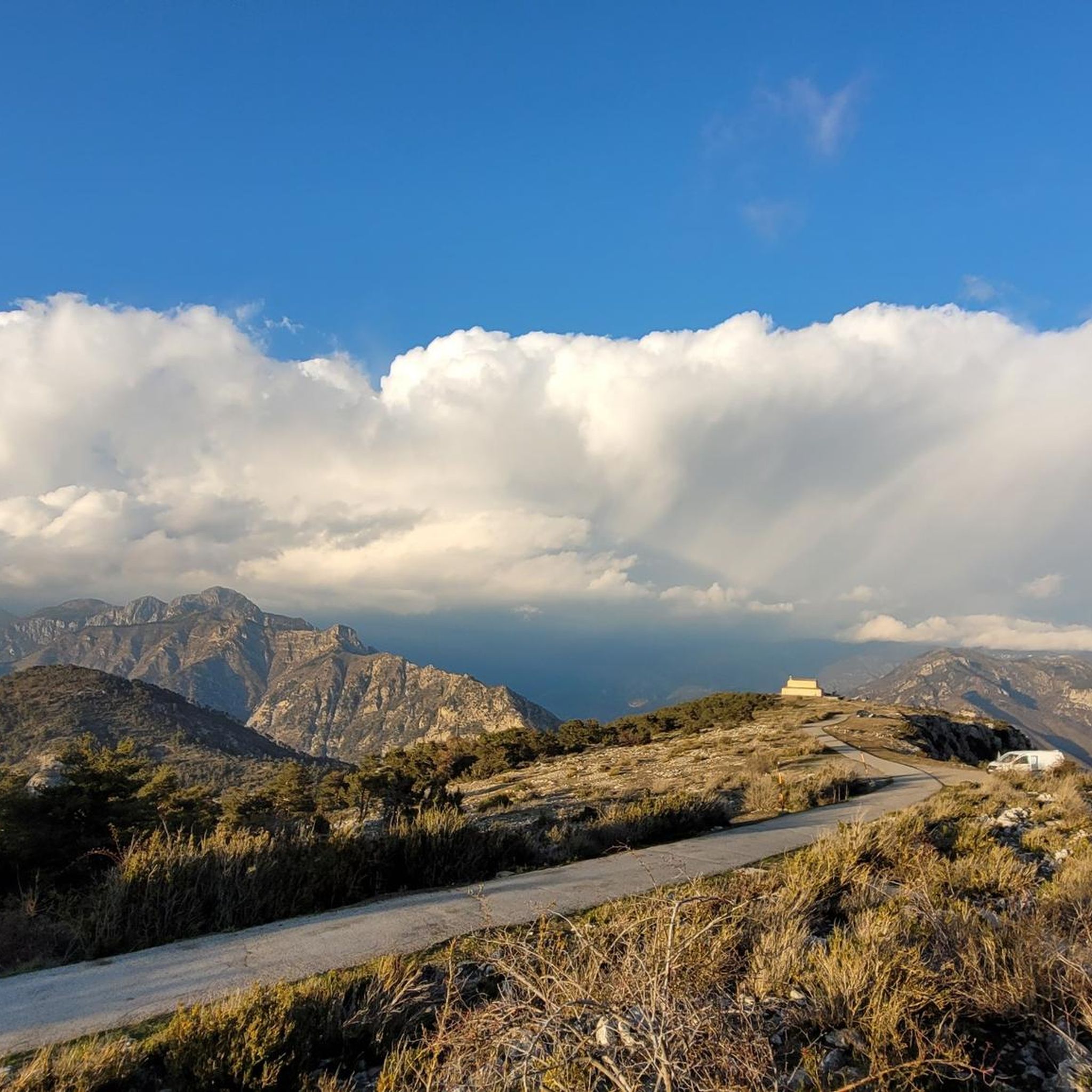
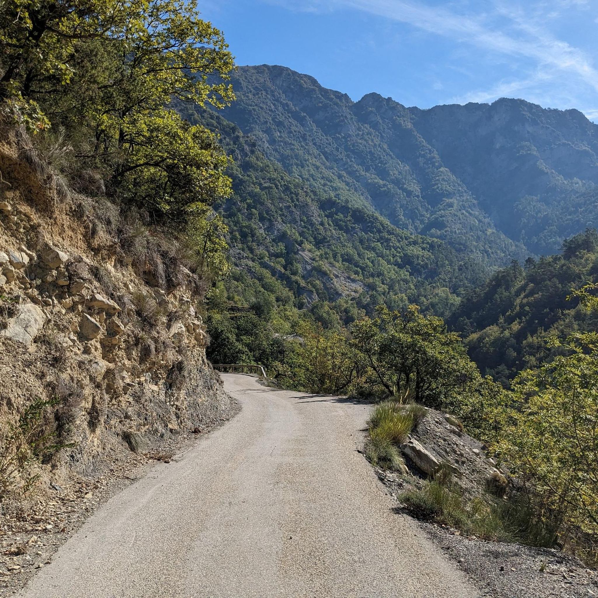
Tips from the Community

I did it via Coaraze. Magnificent scenery and a beautiful view of the event and its surrounding area from the top of Ferion. A moderately easy hike. The elevation changes from 500 meters to 1400 meters.
0
0

magnificent view from the Col du Dragon then beautiful descent
0
0

one of the most beautiful roads in the area
1
0

A super-fast classic for leaving Nice and joining the gravel tracks.
1
0
One of the three climbs to reach the summit of Mont Ferion: the shortest, but also the steepest.
0
0
The ruins of an ancient haunted village, where only the bravest dare to spend the night...
0
0

End of the ascent of Levens after 15Km...
0
0

Superb! Shaded landscapes, and a path (dfci) ideal for mountain biking by doing it in the morning in a clockwise direction
0
0
Frequently Asked Questions
How challenging are the gravel bike trails around Tournefort?
Gravel biking around Tournefort is characterized by rugged terrain and significant elevation changes, making most routes suitable for experienced riders. The area offers a demanding environment with challenging climbs and descents, often traversing forested areas and open sections with panoramic views.
Are there any beginner-friendly gravel bike trails in Tournefort?
The gravel biking routes in Tournefort are primarily designed for advanced ability levels due to the challenging mountain ascents and significant elevation changes. While there are no explicitly beginner-friendly routes, the Tourrette-Levens Village loop from Saint-Blaise is rated as moderate, offering a slightly less demanding option compared to others.
What are some of the longer gravel bike routes available in the area?
For those seeking longer rides, the Gorges de la Vésubie – Col à Utelle loop from Pont Charles Albert is a substantial 59.7 miles (96.1 km) trail with significant elevation gain. Another challenging option is the Crete du ferion – Saut des Français Viewpoint loop from Utelle, covering nearly 40 km.
When is the best time of year to go gravel biking in Tournefort?
The Alpes-Maritimes region generally offers pleasant conditions for gravel biking from spring through autumn. Summer can be hot, especially in the gorges, so early mornings are recommended. Winter riding is possible but requires checking local conditions, as higher elevations may experience snow or ice.
What should I pack for a gravel biking trip in Tournefort?
Given the rugged terrain and significant elevation changes, it's advisable to pack essentials like a repair kit, plenty of water, high-energy snacks, and appropriate layers for varying temperatures. A helmet, gloves, and sturdy gravel tires are also highly recommended for safety and comfort on these challenging trails.
Which gravel bike routes offer the best scenic viewpoints?
Many routes in Tournefort provide panoramic views. The Saut des Français Viewpoint – The Vésubie gorges loop from Pont Charles Albert specifically highlights views from Saut des Français. Additionally, routes traversing mountain ridges, such as the Crete du ferion – Férion Summit loop from Levens, offer expansive vistas of the surrounding valleys and peaks.
Are there good circular gravel bike routes around Tournefort?
Yes, many of the popular gravel bike routes around Tournefort are loops. Examples include the Gorges de la Vésubie – Col à Utelle loop from Pont Charles Albert, the Saut des Français Viewpoint – The Vésubie gorges loop from Pont Charles Albert, and the Crete du ferion – Férion Summit loop from Levens, all designed for a return to your starting point.
What can I see along the gravel bike trails or nearby?
The region around Tournefort is rich in natural landmarks. Along your rides, you might encounter impressive mountain passes like Col de Vé Gautier or Collet des Trous. For those interested in peaks, Férion Summit and Mont Vial are prominent features in the landscape.
What do other gravel bikers enjoy the most about gravel biking in Tournefort?
The area is highly rated by the komoot community, with an average score of 4.5 stars. Reviewers often praise the challenging nature of the routes, the stunning panoramic views from mountain ridges, and the immersive experience of riding through the deep Vésubie gorges.
Are there any wild swimming spots near the gravel bike trails?
The Vésubie gorges, which many gravel routes traverse, are known for their clear waters. While specific designated wild swimming spots are not directly on the trails, the Vésubie River itself offers opportunities for refreshing dips, especially during warmer months. Always exercise caution and check local regulations before swimming.
How accessible are the gravel bike trails by public transport?
Access to the more remote gravel biking trails around Tournefort by public transport can be limited. Many routes start from smaller villages or specific points like Pont Charles Albert or Levens, which may require a car to reach. It's best to check local bus schedules for the Alpes-Maritimes region if you plan to rely on public transport, as services can be infrequent.
Most popular routes around Tournefort
Most popular attractions around Tournefort

Get inspired with the komoot mobile app


Explore more
Browse the best Gravel rides in other regions.
