The best running trails around Tournefort
4.4
(11)
931
runners
69
runs
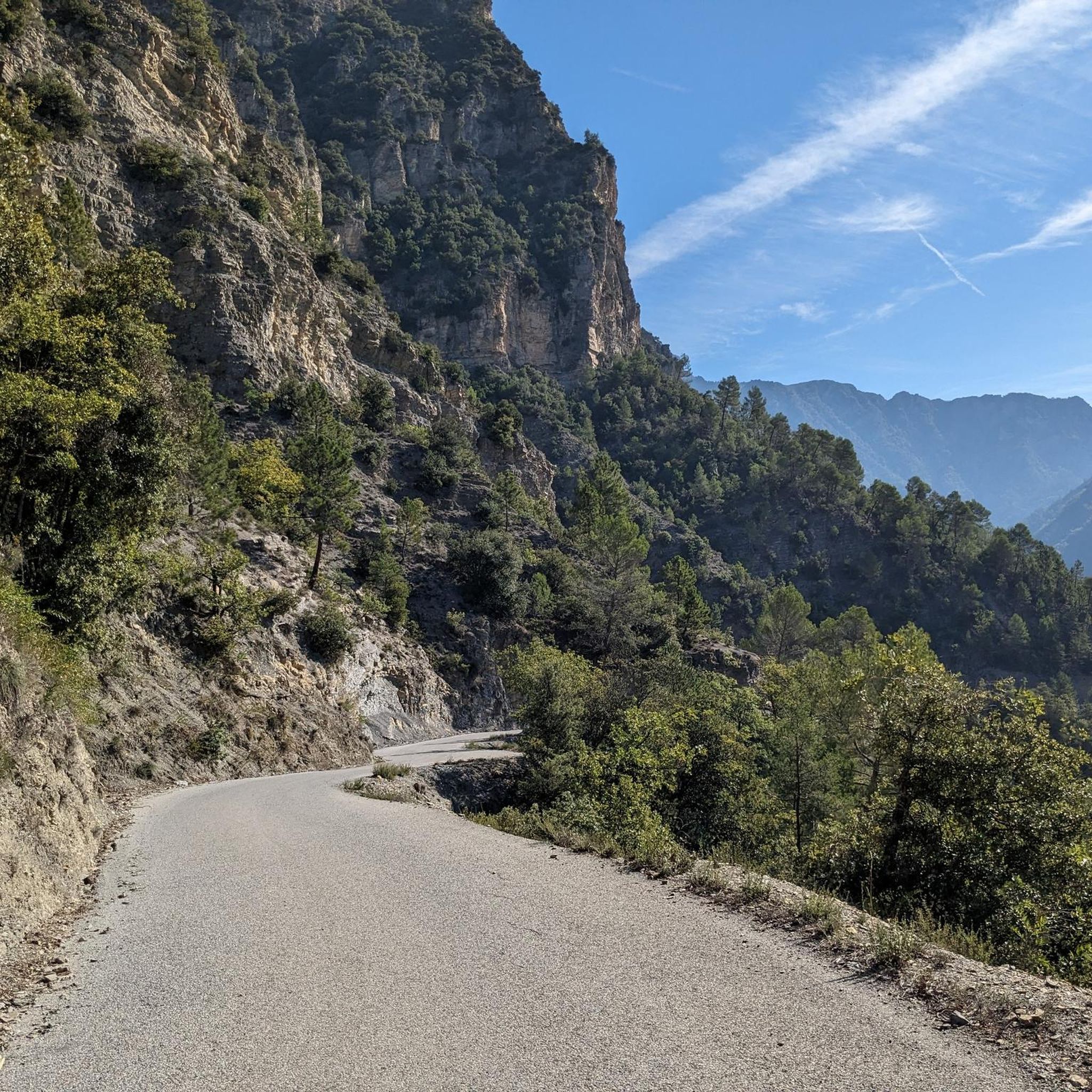
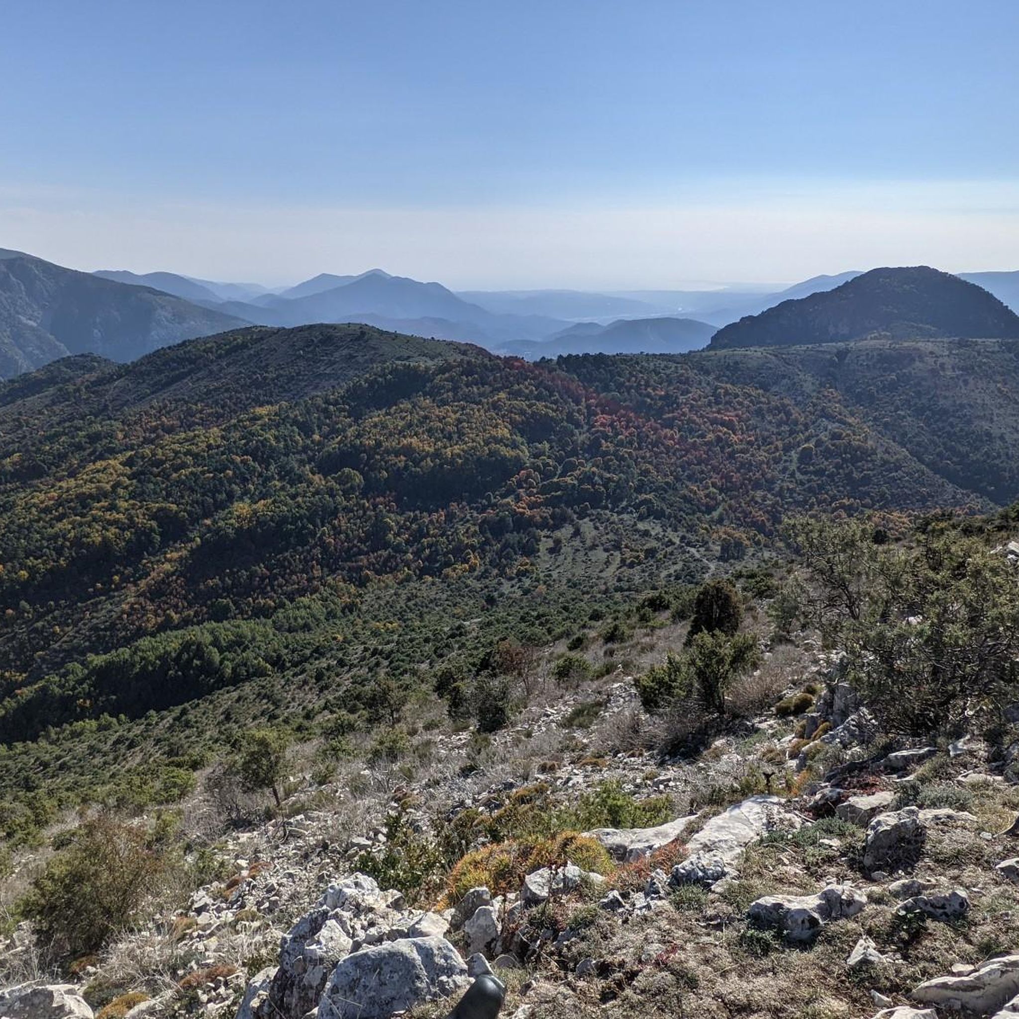
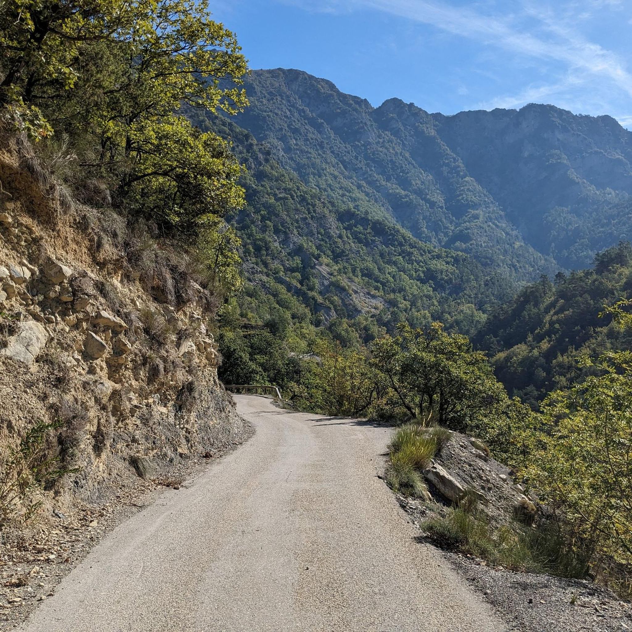
Jogging routes around Tournefort are characterized by varied terrain, including forest paths, ridges, and mountainous sections within the Alpes-Maritimes department of France. The region features significant elevation changes, offering challenging running experiences. Runners can explore routes with panoramic views over the Tinée and Var valleys, and towards the Mercantour peaks. Many trails traverse tranquil forest environments, providing shaded options for running.
Best jogging routes around Tournefort
- The most popular jogging route is Chapelle Saint-Antoine – The Madonna of Utelle loop…
Last updated: June 29, 2026
27
runners
36.4km
06:07
2,190m
2,190m
Hard run. Very good fitness required. Sure-footedness, sturdy shoes and alpine experience required.
4.0
(1)
35
runners
32.7km
05:13
1,820m
1,820m
Hard run. Very good fitness required. Sure-footedness, sturdy shoes and alpine experience required.

Sign up for free
10
runners
9.33km
01:49
660m
660m
Hard run. Very good fitness required. Sure-footedness, sturdy shoes and alpine experience required.
8
runners
23.4km
04:09
1,580m
1,580m
Hard run. Very good fitness required. Sure-footedness, sturdy shoes and alpine experience required.
10
runners
13.9km
02:13
790m
790m
Hard run. Very good fitness required. Mostly paved surfaces. Suitable for all skill levels.
Get access to more routes and recommendations from other explorers.
Sign up for free
Already have an account?
Our route recommendations are based on thousands of hikes, rides, and runs completed by other people on komoot.
Start today with a free account
Your next adventure awaits.
Login or Signup

Tips from the Community

Beautiful view overlooking the valley!
0
0

It's really a pass that I recommend to all nature lovers. The view at the top is truly breathtaking.
0
0

On the heights of the Vésubie gorges, the Saint-Antoine chapel rises to 660 meters. Its bucolic setting invites you to take a break. In case of strong heat, do not hesitate to enter to enjoy its freshness.
0
0
Located at the confluence of the Var and the Vésubie, the commune of Utelle includes several hamlets including Saint-Jean-la-Rivière where the town hall is located. Perched at an altitude of 800 meters, Utelle has an orientation table which offers great information on the neighboring Mercantour valleys. Also, an inn and a lodge are available to hikers in the region.
0
0

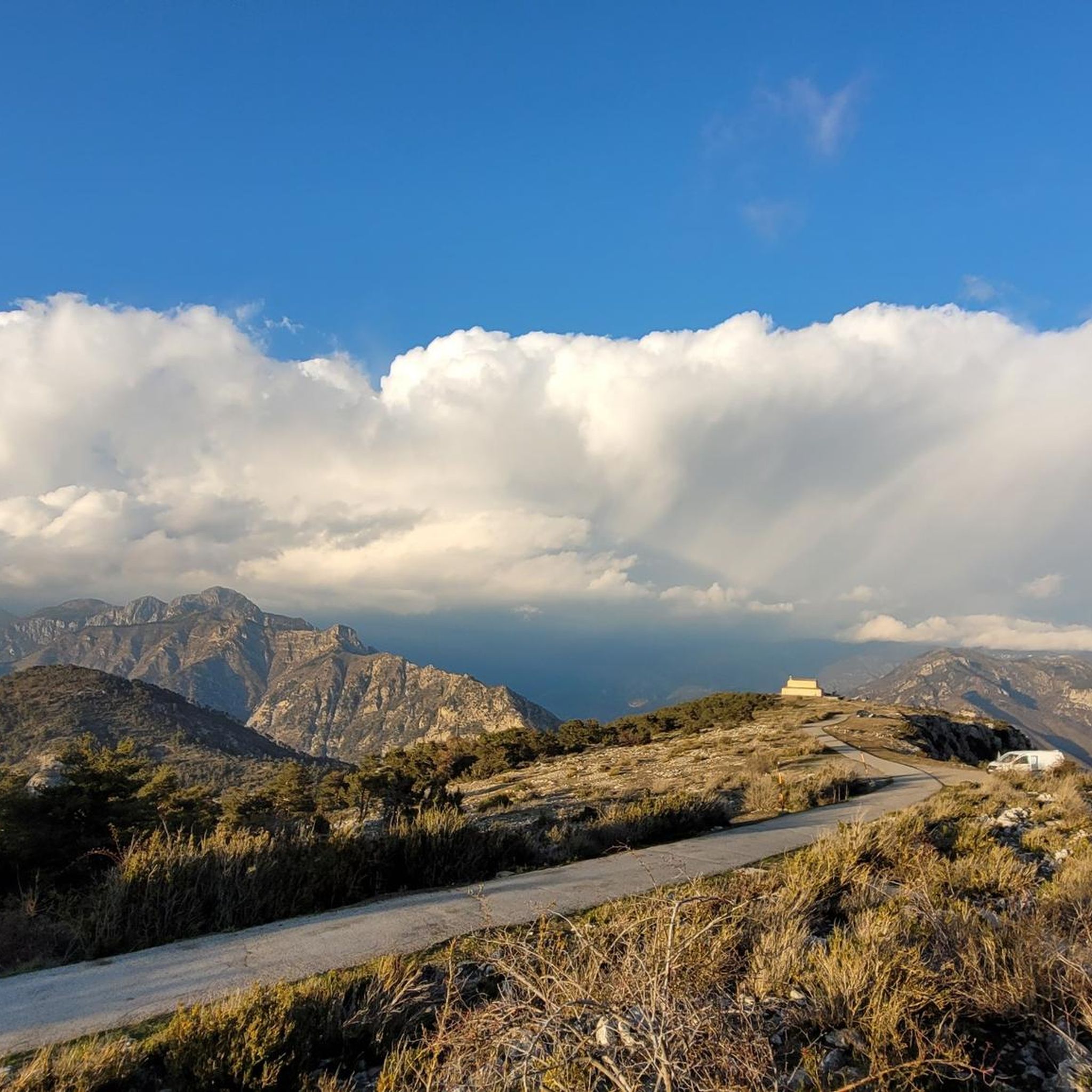
La Madone d'Utelle is a sanctuary and place of pilgrimage which is used all year round as a place of worship, although it is at an altitude of 1,194 meters and offers stunning views of the Mercantour National Park and the Mediterranean Sea.
3
0
Walking further up the ridge to the Sanctuary of Madone d'Utelle you will be rewarded with magnificent views and well worth the extra hike before descending back to your end point.
2
0

Fantastic all-round view
0
0

This has long been a place of pilgrimage and healing, but one that for cyclists has remained a well-kept secret – beloved of local riders… until recently. In March 2016, the penultimate stage of Paris-Nice finished on the summit, bringing the views from this holy site to a wider audience. Madone d'Utelle is part of our Montagnes à la Carte series, head over to https://bit.ly/3ziK156 and claim your badge if you rode this classic.
5
0
Frequently Asked Questions
How many running routes are available around Tournefort?
There are over 60 jogging routes available around Tournefort. Most of these, about 49, are considered difficult, with 9 moderate and 2 easy options, offering a wide range of challenges for runners.
What kind of terrain can I expect on jogging routes near Tournefort?
Jogging routes around Tournefort feature a diverse terrain, including tranquil forest paths, scenic ridges, and mountainous sections. You'll encounter significant elevation changes, providing a good workout amidst stunning natural landscapes.
Are there any easy jogging routes in Tournefort?
While most routes in Tournefort are challenging, there are a couple of easier options available for those looking for a less strenuous run. These routes typically offer gentler slopes and a more relaxed experience.
What are some challenging running trails in the Tournefort area?
For experienced trail runners seeking a challenge, routes like the Mont Vial – Col du Serse loop from Toudon offer significant elevation gain and demanding terrain. Another difficult option is the Roccassiera Peak – Cime de Bonvillar loop from Duranus, which provides a rigorous workout with rewarding views.
Can I find routes with panoramic viewpoints in Tournefort?
Absolutely. Many running routes in Tournefort offer breathtaking panoramic views. You can expect vistas over the Tinée and Var valleys, and towards the peaks of the Mercantour. The old village site, now a lookout point, also provides expansive 360° views.
Are there any historical landmarks or interesting sights along the running trails?
Yes, the region is rich in history. Some routes may pass by remnants of the old village, including the church of Saint Pierre and the Chapel of the Penitents. You might also encounter historical sites like Fort Charvet. For specific points of interest, consider exploring highlights such as Madonna of Utelle or Férion Summit.
What do other runners enjoy most about jogging in Tournefort?
The running community highly rates the routes around Tournefort, with an average score of 4.4 stars from over 10 reviews. Runners frequently praise the varied terrain, the challenging elevation changes, and the spectacular panoramic views that make each run a rewarding experience.
Are there any circular running routes available?
Yes, many of the running routes around Tournefort are circular, allowing you to start and finish at the same point. Examples include the challenging Mont Vial – Col du Serse loop from Toudon and the Roccassiera Peak – Cime de Bonvillar loop from Duranus.
What are some natural features I might encounter on the trails?
Beyond the stunning mountain views, you'll often find yourself running through tranquil forest paths, particularly appealing for shaded runs in warmer weather. The geographical location also provides views and access to the scenic Var and Tinée river valleys.
Are there any mountain passes accessible via jogging routes?
Yes, the Tournefort area is home to several mountain passes that can be incorporated into your running adventures. Notable passes include The start of Col Saint-Martin and Col de Vé Gautier, offering challenging ascents and descents.
What is the best time of year for running in Tournefort?
The varied terrain, including shaded forest paths, makes Tournefort suitable for running in different seasons. Warmer months benefit from the shaded trails, while the region's overall beauty can be enjoyed throughout much of the year, depending on weather conditions and snow at higher elevations.
Most popular routes around Tournefort
Most popular attractions around Tournefort

Get inspired with the komoot mobile app


Explore more
Browse the best Running Trails & Routes in other regions.
