The best MTB trails around Tournefort
3.8
(42)
494
riders
23
rides
Mountain biking around Tournefort features a landscape characterized by significant elevation changes and varied terrain. The region offers challenging ascents and descents through hilly areas and potentially forested sections. Riders can expect paths that navigate through valleys and along ridges, providing a diverse mountain biking experience.
Best mountain bike trails around Tournefort
- The most popular mountain bike trail is Mont Vial depuis Gilette en boucle, a difficult 18.0 miles (29.0 km) trail that takes 3 hours 46 minutes to…
Last updated: July 8, 2026
5
riders
29.0km
03:47
1,410m
1,410m
Hard mountain bike ride. Very good fitness required. Advanced riding skills necessary. Some portions of the route may require you to push your bike.
25.1km
03:12
1,260m
1,260m
Hard mountain bike ride. Very good fitness required. Advanced riding skills necessary. Some portions of the route may require you to push your bike.

Sign up for free
3.6
(9)
52
riders
30.3km
02:37
710m
710m
Moderate mountain bike ride. Good fitness required. Suitable for all skill levels.
12
riders
46.9km
04:54
1,640m
1,640m
Hard mountain bike ride. Very good fitness required. Advanced riding skills necessary. Some portions of the route may require you to push your bike.
4.3
(4)
35
riders
41.6km
04:23
1,240m
1,250m
Hard mountain bike ride. Very good fitness required. Advanced riding skills necessary. Some portions of the route may require you to push your bike.
Get access to more routes and recommendations from other explorers.
Sign up for free
Already have an account?
Our route recommendations are based on thousands of hikes, rides, and runs completed by other people on komoot.
Start today with a free account
Your next adventure awaits.
Login or Signup
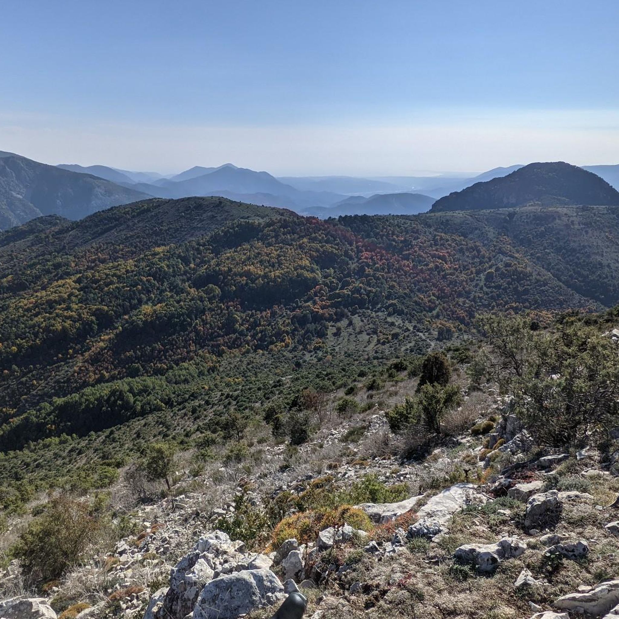
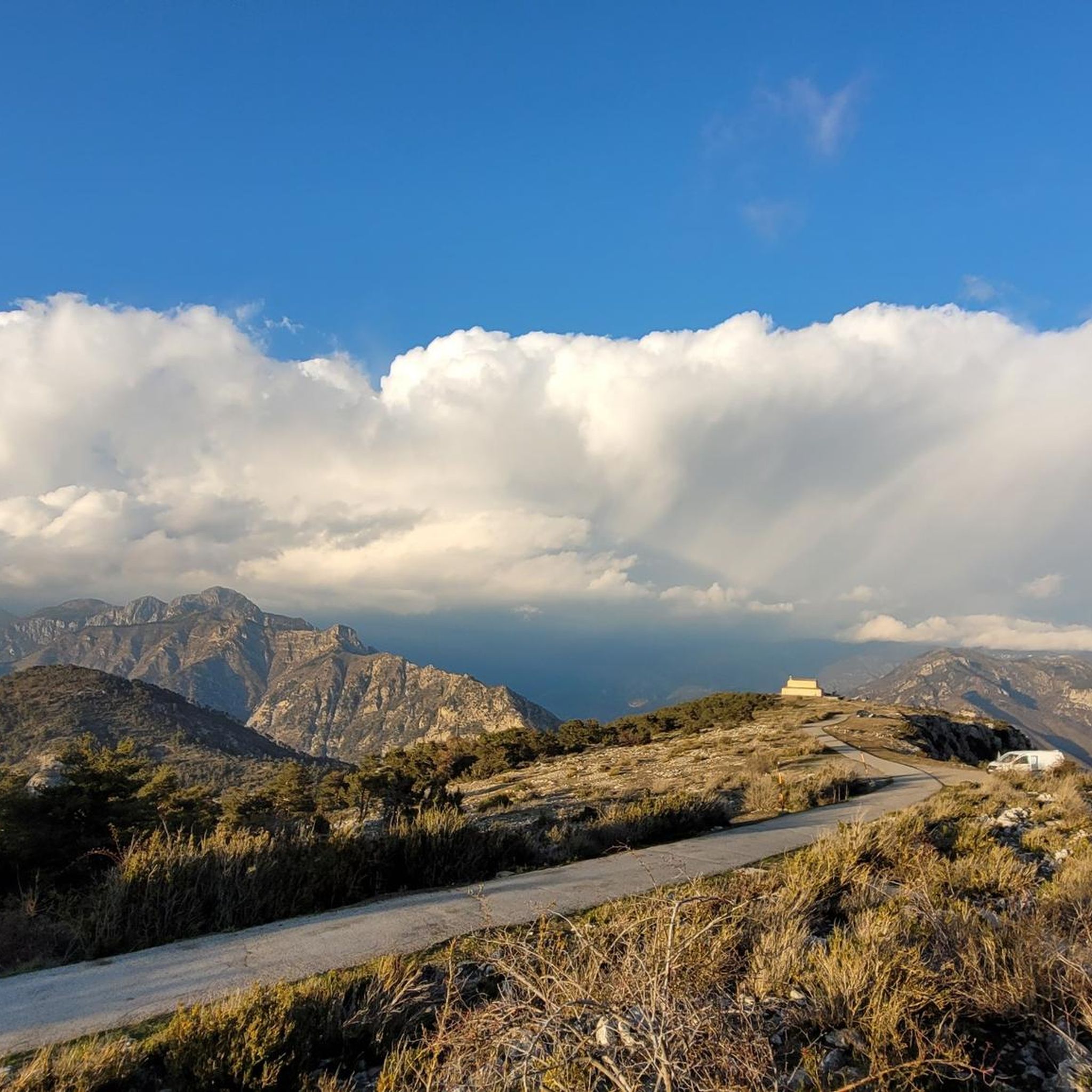
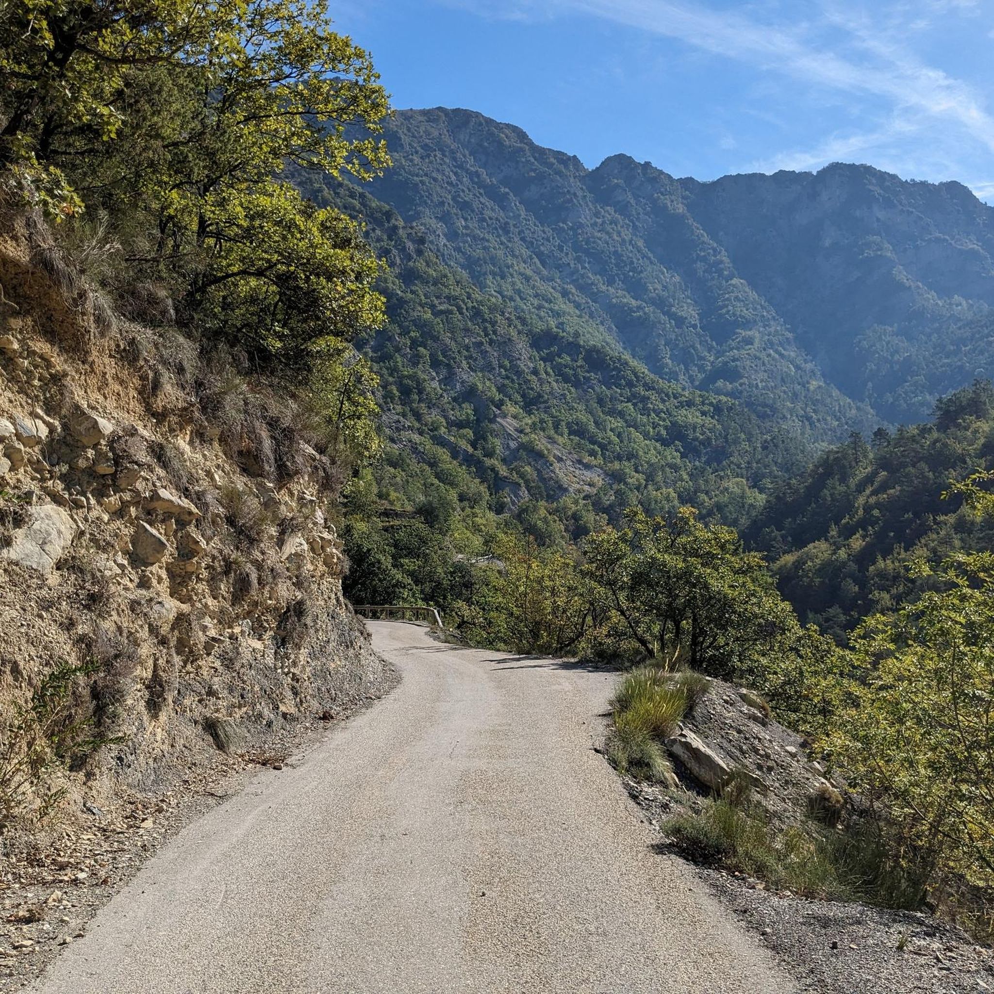
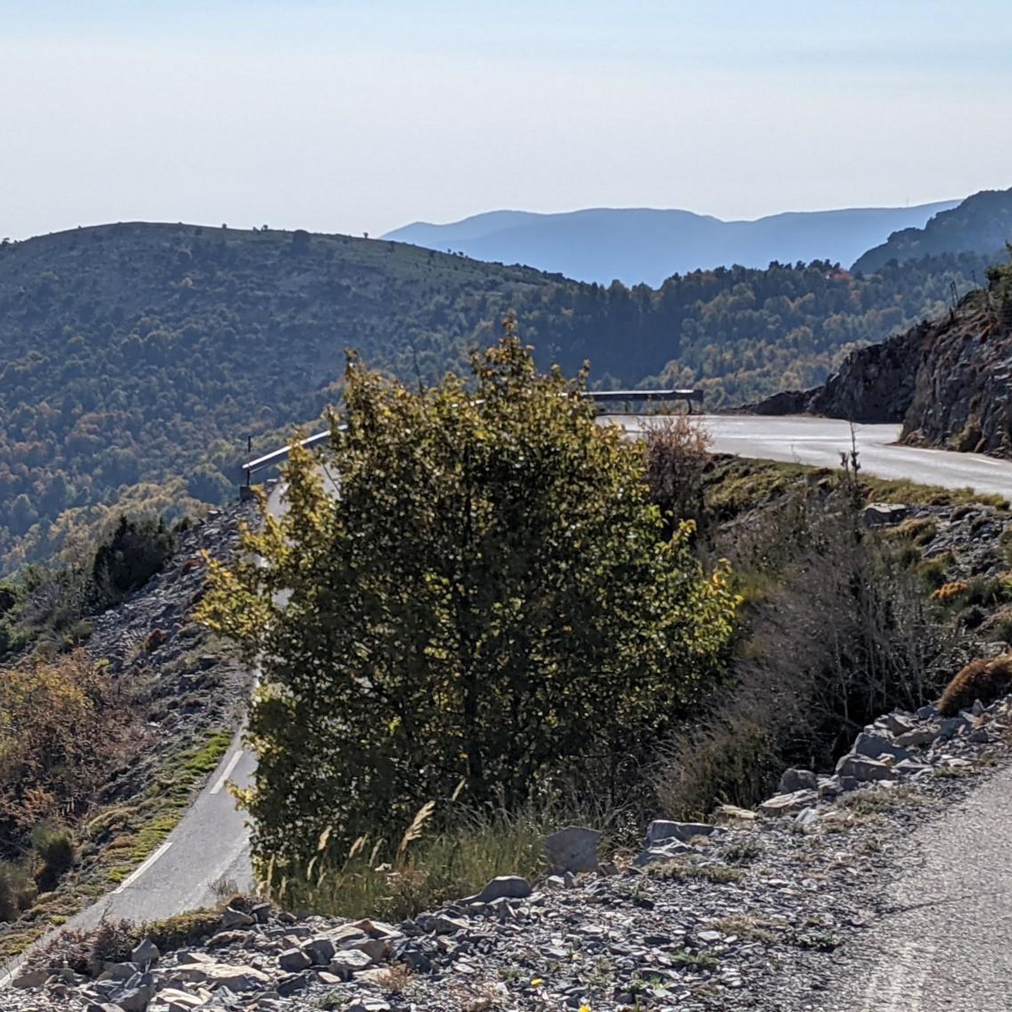

Tips from the Community

Crossing point to reach the ruins of Rocasparviera
0
0


The path is poorly marked. Therefore, in bad weather and/or snow/ice, I recommend parking your bike along the way, especially since the descent from the summit is not really rideable!
0
0
We stayed at the Hotel La Tovière, rode our mountain bikes to Lac de Saut and then climbed to the summit. We left the bikes behind on the way because large parts were still covered in snow even in July. But climbing the Grande Sassière is still recommended!
0
0

Small, little-used pass which offers another version of the Col de Braus.
0
0


Small village perched at an altitude of 1000m, overlooked by wooded hills, facing the Cheiron mountain range, and dominating the Estéron valley from above.
0
0
Frequently Asked Questions
How many mountain bike trails are available around Tournefort?
There are 18 mountain bike trails around Tournefort listed on komoot. These routes offer a diverse range of experiences, primarily catering to moderate and difficult skill levels.
What is the general difficulty level of mountain biking in Tournefort?
Mountain biking around Tournefort is characterized by significant elevation changes and varied terrain. The majority of routes are classified as difficult (12 out of 18), with the remaining 6 being moderate. There are no easy trails listed, indicating a focus on more challenging rides.
Are there any family-friendly mountain bike trails in Tournefort?
Given the terrain and the listed difficulty levels, Tournefort's mountain bike trails are generally not considered family-friendly for beginners. The routes feature challenging ascents, descents, and technical sections, making them more suitable for experienced riders. There are no easy trails available in the area.
Are there any circular mountain bike routes in Tournefort?
Yes, many of the mountain bike routes around Tournefort are circular. Examples include the popular Mont Vial depuis Gilette en boucle, a difficult 18.0-mile trail, and Col de la Porte en boucle, another difficult 15.6-mile option. The Mount Cima, Aspremont loop from Levens is a moderate 18.8-mile loop.
What are some scenic viewpoints or landmarks I can see while mountain biking in Tournefort?
The region offers several interesting points. Along your rides, you might encounter mountain passes such as The start of Col Saint-Martin or Col de la Séréna (1,307 m). Other notable attractions include Férion Summit and the dramatic The Vésubie gorges.
What do other mountain bikers enjoy most about the trails in Tournefort?
The mountain bike trails around Tournefort are highly rated by the komoot community, with an average score of 3.8 stars from over 30 reviews. Riders frequently praise the challenging ascents and descents, the varied terrain, and the diverse forest paths that define the region's mountain biking experience.
Are there any moderate mountain bike trails for intermediate riders?
Yes, there are 6 moderate mountain bike trails around Tournefort. One popular option is the Mount Cima, Aspremont loop from Levens, an 18.8-mile trail that typically takes about 2 hours 36 minutes to complete, offering varied landscapes without the extreme technical demands of the difficult routes.
What is the longest mountain bike trail in the Tournefort area?
The longest mountain bike trail listed is Mont Vial – Mont Vial loop from Baus Roux. This difficult route spans approximately 29.2 miles (46.9 km) and involves significant elevation gain, making it a substantial challenge for experienced riders.
What kind of terrain can I expect on mountain bike trails near Tournefort?
The terrain around Tournefort is predominantly hilly, featuring challenging ascents and descents. Riders can expect a mix of paths through forested sections, valleys, and along ridges, providing a diverse and engaging mountain biking experience with significant elevation changes.
Are there any mountain bike routes that start from or pass through specific villages?
Many routes are accessible from various points. For instance, the popular Mont Vial depuis Gilette en boucle starts from Gilette, and the Mount Cima, Aspremont loop from Levens begins near Levens. These routes often connect to local communities, offering potential access to amenities.
What is the elevation gain like on the mountain bike trails in Tournefort?
The mountain bike trails in Tournefort feature significant elevation changes. For example, the difficult Mont Vial depuis Gilette en boucle has an elevation gain of over 1400 meters, and the Mont Vial – Mont Vial loop from Baus Roux climbs over 1600 meters. Even moderate routes like the Mount Cima, Aspremont loop from Levens involve over 700 meters of ascent.
Most popular routes around Tournefort
Most popular attractions around Tournefort

Get inspired with the komoot mobile app


Explore more
Browse the best MTB trails in other regions.
