The best walks and hikes around Tournefort
4.4
(263)
1,936
hikers
84
hikes
Hiking around Tournefort offers varied terrain within the mountainous Alpes-Maritimes department, situated in the scenic Nice hinterland. The region features the Var River valley, contributing to its picturesque scenery and diverse landscapes. Hikers can explore altitudes ranging from 171 to 1304 meters, providing a range of trails. The area also includes the remains of an old village and castle ruins, adding historical interest to the natural environment.
Best hiking trails around Tournefort
- The most popular hiking route is Revest-les-Roches to…
Last updated: June 25, 2026
4.7
(10)
84
hikers
Moderate hike. Good fitness required. Mostly accessible paths. Sure-footedness required.
4.5
(10)
55
hikers
14.1km
05:20
950m
940m
Hard hike. Very good fitness required. Mostly accessible paths. Sure-footedness required.

Sign up for free
4.0
(1)
16
hikers
18.3km
07:28
1,300m
1,300m
Hard hike. Very good fitness required. Sure-footedness, sturdy shoes and alpine experience required.
5.0
(1)
8
hikers
17.4km
07:03
1,290m
1,290m
Hard hike. Very good fitness required. Mostly accessible paths. Sure-footedness required.
4.0
(1)
8
hikers
17.1km
06:14
1,020m
1,020m
Hard hike. Very good fitness required. Easily-accessible paths. Suitable for all skill levels.
Get access to more routes and recommendations from other explorers.
Sign up for free
Already have an account?
Our route recommendations are based on thousands of hikes, rides, and runs completed by other people on komoot.
Start today with a free account
Your next adventure awaits.
Login or Signup
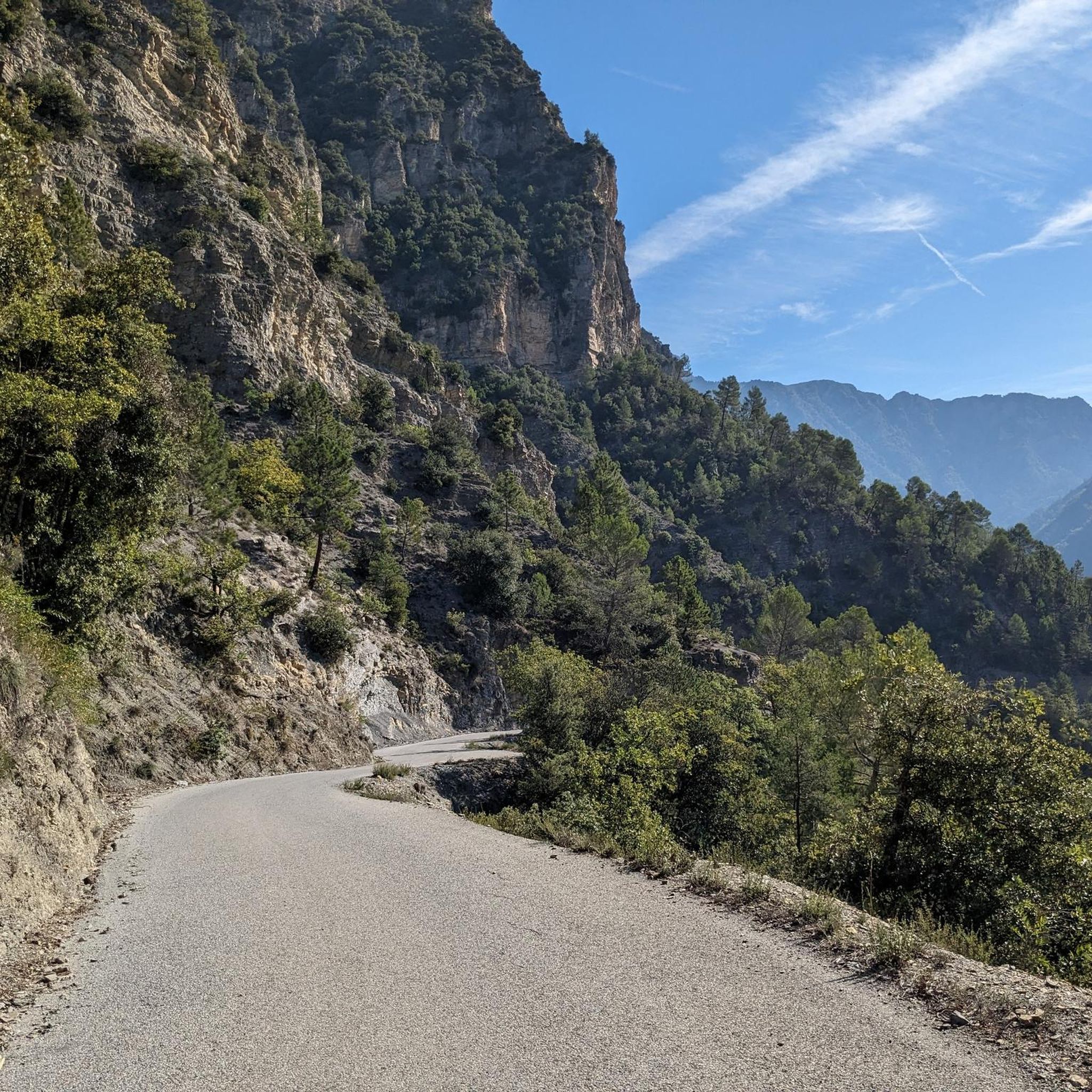
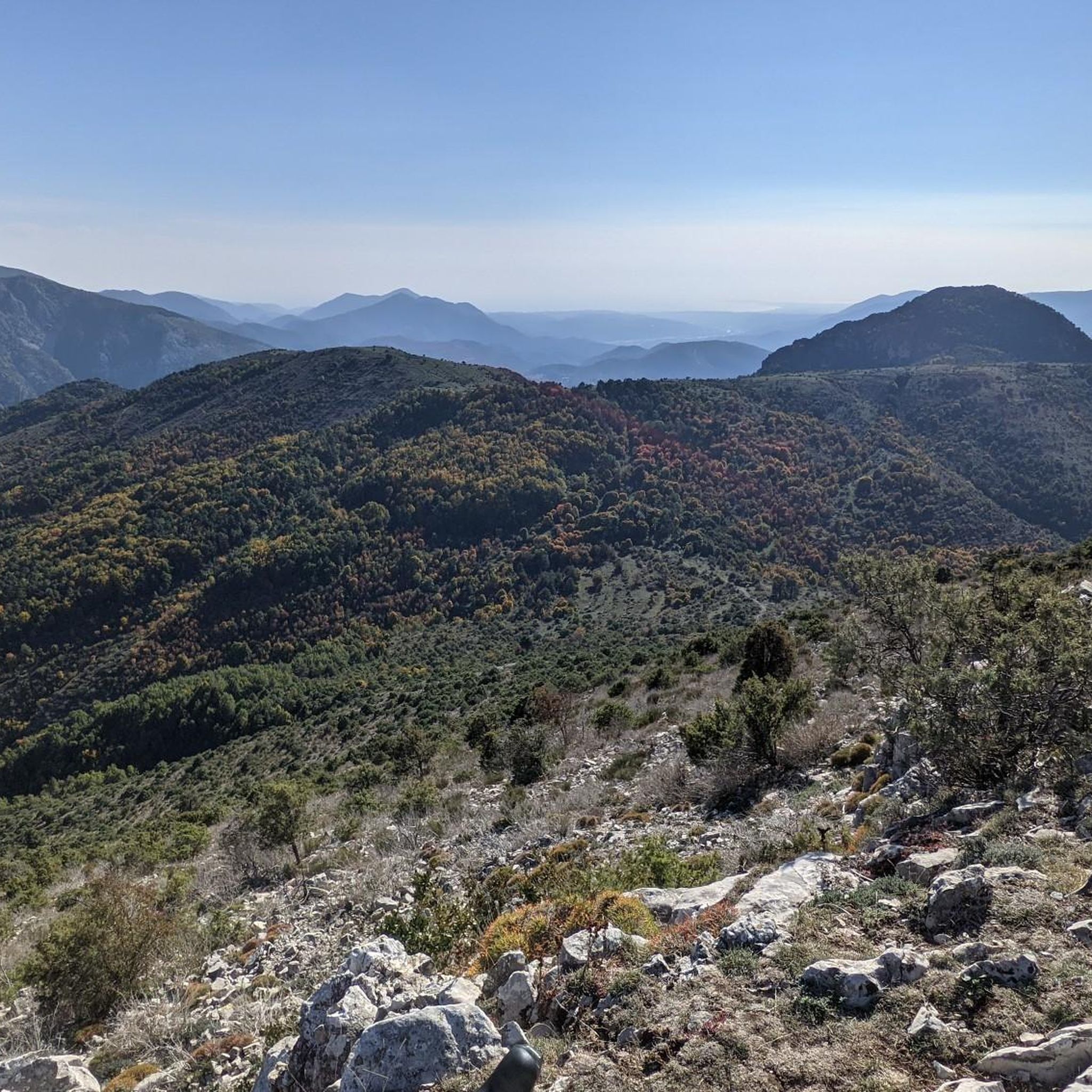
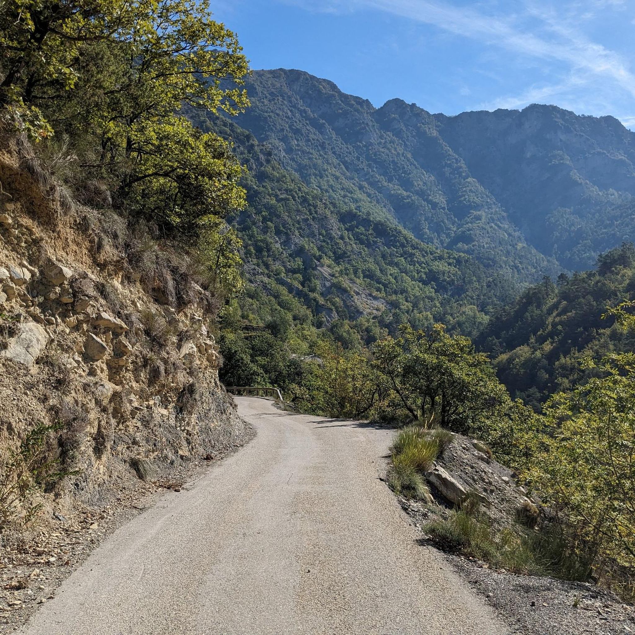
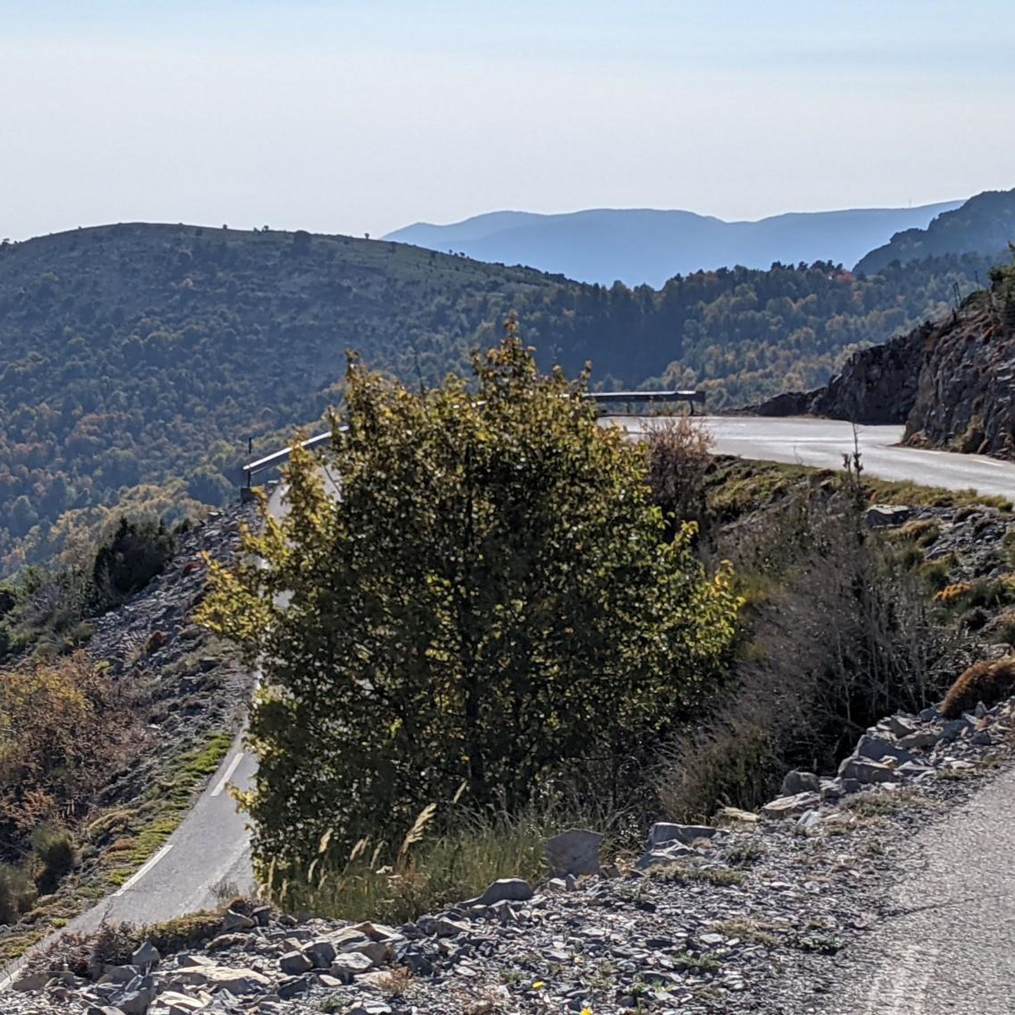

Tips from the Community


autumn colors and first snows
0
0
very beautiful view of this village perched on the rocks
0
0

It's really a pass that I recommend to all nature lovers. The view at the top is truly breathtaking.
0
0

Very nice view of the Plaine du Var / Nice and 360° around.
0
0

The Brec d'Utelle is a summit culminating at 1,604 meters. On a clear day, it offers an unforgettable panorama of the Mercantour, the Côte d'Azur and the surrounding valleys (Var, Tinée, Vésubie). Note that "brec", a name of Gallic origin, means "point of rock", "peak", or "steep place".
0
0
On the heights of the Vésubie gorges, the Saint-Antoine chapel rises to 660 meters. Its bucolic setting invites you to take a break. In case of strong heat, do not hesitate to enter to enjoy its freshness.
0
0

Culminating at 1550 meters, Mont Vial is one of the few peaks that can be identified from the sea. From the top, enjoy the beautiful panoramic view of the neighboring peaks!
0
0
Frequently Asked Questions
How many hiking trails are there in Tournefort?
Tournefort offers a wide selection of hiking trails, with over 80 routes available. These range from easy strolls to more challenging mountain ascents, catering to various skill levels.
Are there easy hiking options around Tournefort?
Yes, Tournefort provides several easy hiking options. While the region is known for its mountainous terrain, there are 8 routes specifically categorized as easy, perfect for a relaxed walk.
Where can I find challenging hikes in Tournefort?
For experienced hikers seeking a challenge, Tournefort has 35 difficult routes. Trails like The Madonna of Utelle – Chapelle Saint-Antoine loop from Utelle or Brec d'Utelle loop from La Tour offer significant elevation gain and stunning views.
What is the typical duration of hikes in Tournefort?
Hike durations in Tournefort vary greatly depending on the trail's length and difficulty. For example, a moderate route like Revest-les-Roches to Mont Vial - loop in the Regional Natural Park of the Azur Prealps typically takes around 4 hours 53 minutes, while more difficult trails can extend to 7 hours or more.
Are there family-friendly hiking trails in Tournefort?
While specific family-friendly routes aren't highlighted, the presence of easy trails suggests options suitable for families. The varied terrain and historical sites like the old village ruins can make for an engaging outing for all ages. Always check the route details for distance and elevation to ensure it matches your family's capabilities.
Can I bring my dog on hikes around Tournefort?
Many trails in the Alpes-Maritimes region are dog-friendly, but it's always best to check local regulations or specific trail rules before heading out. Ensure your dog is well-behaved, kept on a leash where required, and that you carry waste bags to maintain the natural environment.
What is the best time of year to go hiking in Tournefort?
The Alpes-Maritimes region, including Tournefort, offers hiking opportunities for much of the year. Spring and autumn provide pleasant temperatures and vibrant scenery. Summer can be warm, especially at lower altitudes, so early morning hikes are recommended. Winter hiking is possible, particularly on lower trails, but higher elevations may experience snow and colder conditions, requiring appropriate gear.
Which hikes offer the best panoramic views in Tournefort?
For breathtaking views, consider hikes that ascend to higher points. The old village of Tournefort itself, at over 600 meters, offers panoramic 360° views. Trails leading to summits like Férion Summit, Mont Vial, or Brec d'Utelle are also excellent choices for expansive vistas of the Var Valley and surrounding mountains.
Are there circular hiking routes available in Tournefort?
Yes, many of the trails in Tournefort are designed as loops, allowing you to start and end at the same point. Examples include Revest-les-Roches to Mont Vial - loop in the Regional Natural Park of the Azur Prealps and The Madonna of Utelle – Chapelle Saint-Antoine loop from Utelle, providing convenient options for exploration.
What can I see along the hiking trails in Tournefort?
Beyond the natural beauty of the Var Valley and mountainous landscapes, hikers can explore historical sites. The remains of the old village of Tournefort and its fortified castle ruins offer a glimpse into the area's past. Other notable points of interest nearby include Madonna of Utelle and the dramatic Vésubie gorges.
What do other hikers enjoy the most about hiking in Tournefort?
The hiking experience in Tournefort is highly regarded by the komoot community, with an average rating of 4.4 stars from over 200 reviews. Hikers frequently praise the varied terrain, the blend of natural scenery with historical elements like abandoned castles, and the diverse range of trails suitable for different abilities.
Most popular routes around Tournefort
Most popular attractions around Tournefort

Get inspired with the komoot mobile app


Explore more
Browse the best Hikes in other regions.
