The best walks and hikes around Valbondione
4.3
(2252)
15,128
hikers
114
hikes
Hiking around Valbondione offers access to the Orobie Mountains in Italy's upper Seriana Valley, characterized by dramatic alpine scenery. The region features towering peaks, including Pizzo Coca, Redorta, and Scais, alongside thick woods and verdant pastures. Numerous alpine lakes, such as Lake Barbellino and Lake Coca, are present, and the area is home to the Serio Waterfalls, Italy's highest. Significant altitude differences define many of the hiking trails, requiring good fitness.
Best hiking trails around Valbondione
- The most popular hiking route is Antonio Curò Nature Trail - Stage 1, a difficult 7.7 miles (12.4 km) trail that takes 5 hours 33 minutes to complete. This route offers views of the Orobie Alps and alpine lakes.
- Another top favourite among local hikers is Valbondione to the Rifugio Barbellino, a difficult 14.5 miles (23.3 km) path. This trail leads to the largest artificial lake in the Orobie Mountains, surrounded by peaks over 3,000 meters.
- Local hikers also love the Serio waterfalls in Valbondione, a difficult 7.2 miles (11.6 km) trail leading through mountainous terrain to witness the impressive waterfalls, often completed in about 5 hours 23 minutes.
- Hiking around Valbondione is defined by majestic alpine peaks, dense woods, and numerous alpine lakes. The network offers options for various ability levels, from easy walks to demanding mountaineering routes.
- The routes in Valbondione are highly rated by the komoot community with an average score of 4.4 stars from over 1,700 reviews. More than 12,000 hikers have used komoot to explore Valbondione's varied terrain.
Last updated: October 10, 2026
4.6
(379)
2,265
hikers
12.4km
05:33
930m
950m
Hard hike. Very good fitness required. Sure-footedness, sturdy shoes and alpine experience required.
4.7
(263)
1,416
hikers
23.3km
09:09
1,300m
1,300m
Hard hike. Very good fitness required. Sure-footedness, sturdy shoes and alpine experience required.

4.6
(186)
1,337
hikers
11.6km
05:24
1,000m
1,000m
Hard hike. Very good fitness required. Sure-footedness, sturdy shoes and alpine experience required.
4.6
(79)
657
hikers
14.4km
07:52
1,450m
1,440m
Hard hike. Very good fitness required. Sure-footedness, sturdy shoes and alpine experience required.
4.5
(81)
656
hikers
14.5km
07:44
1,460m
1,460m
Hard hike. Very good fitness required. Sure-footedness, sturdy shoes and alpine experience required.
Get access to more routes and recommendations from other explorers.
Already have an account?
Our route recommendations are based on thousands of hikes, rides, and runs completed by other people on komoot.
Start today with a free account
Your next adventure awaits.
Popular around Valbondione
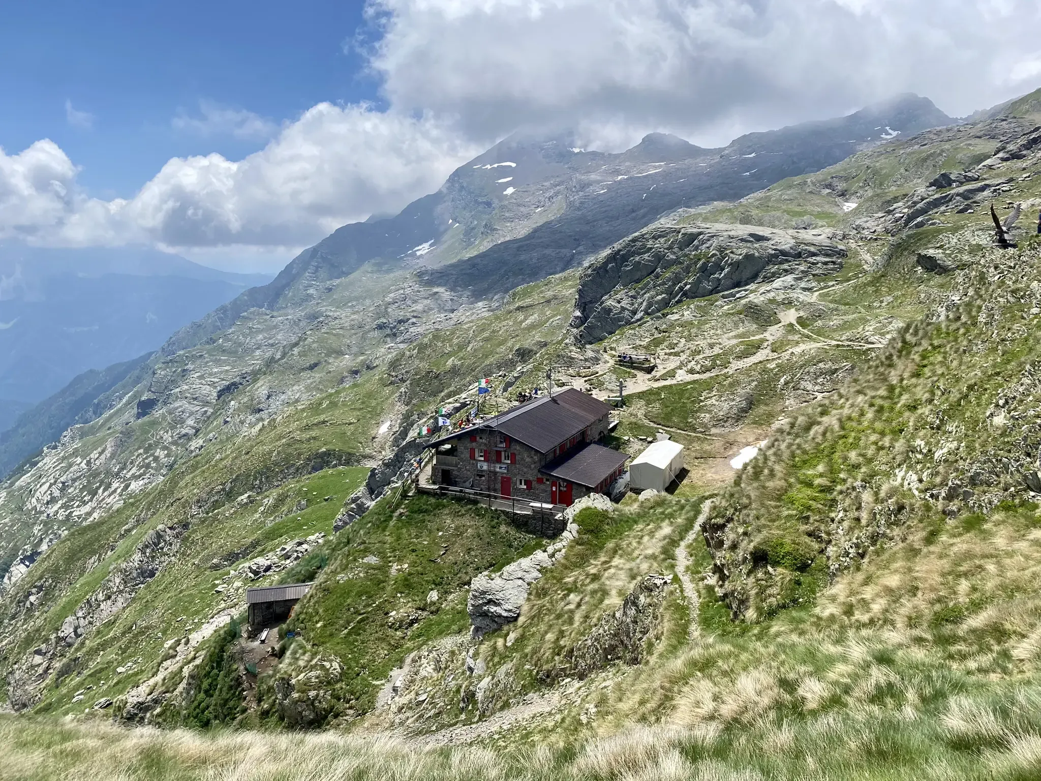
Antonio Curò nature route – two days in the Bergmanesque Alps
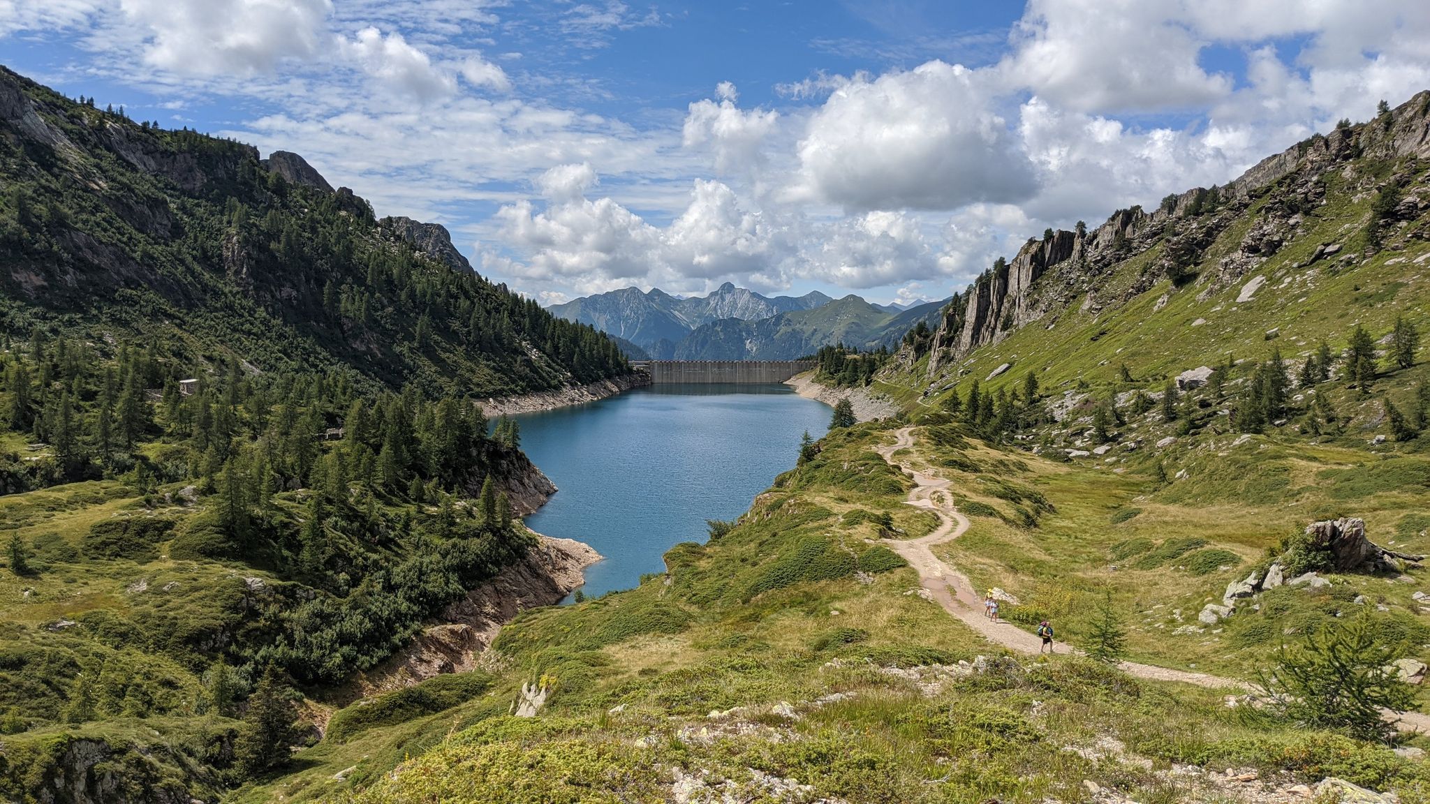
Eastern Orobie Path – a loop through Italy’s Orobie Mountains

A stone's throw from Presolana – trekking in Italy’s Val Seriana
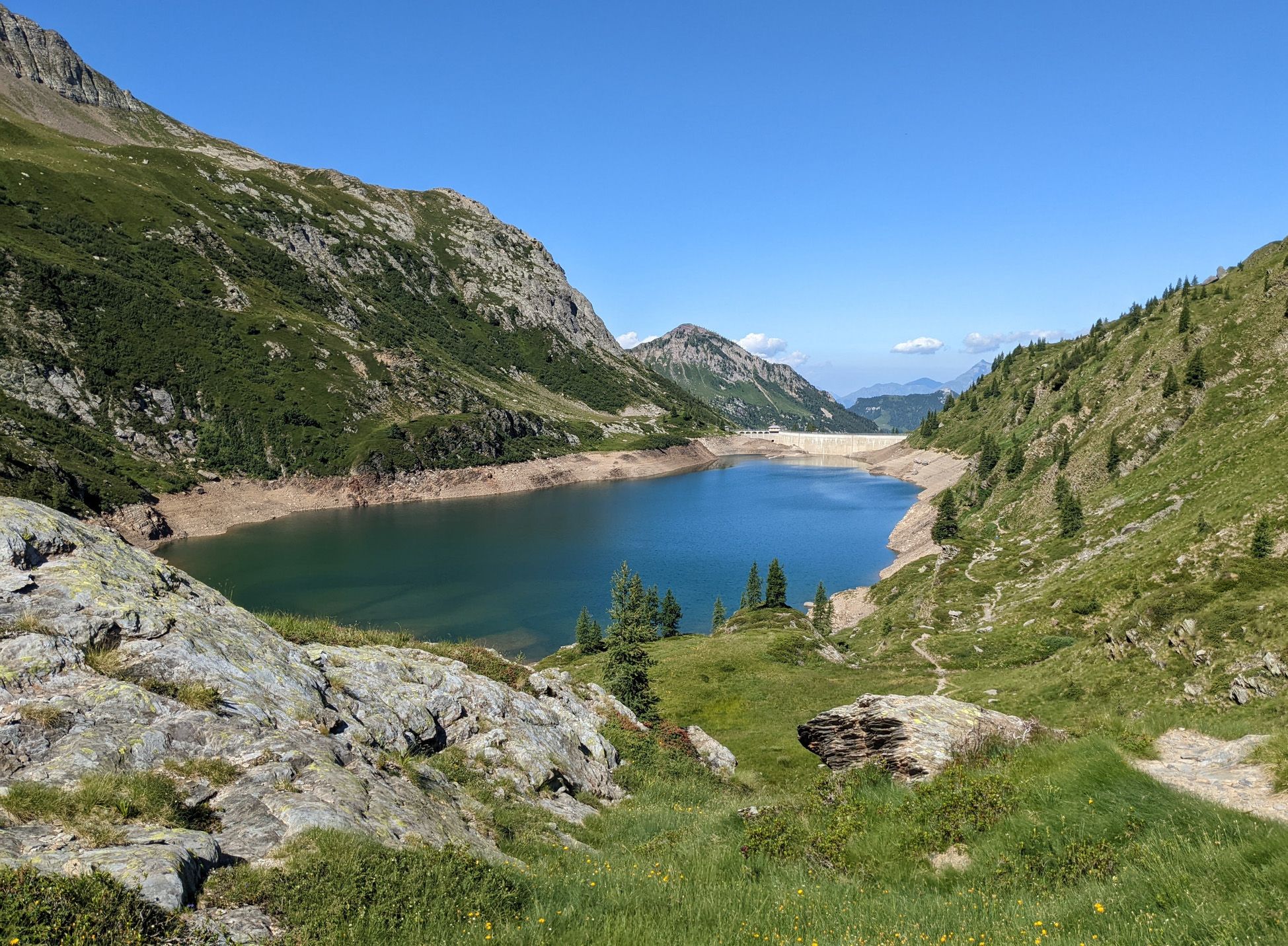
Walking on water – lakes, rivers and waterfalls in the Bergamo valleys
MTB Trails around Valbondione
Road Cycling Routes around Valbondione
Cycling around Valbondione
Running Trails around Valbondione

Mountain Hikes around Valbondione

Gravel biking around Valbondione
Other adventures around Valbondione


Tips from the Community

Uphill path from start to finish, I would say it is not suitable for those who are new to the mountains, but for those who have already visited other refuges, I do not discourage it, let's be clear, but be prepared for a really tough walk, an arduous path, once reached immense satisfaction❤️
0
0

small but evocative refuge at 2100m, supplied by helicopter
0
0
It is the most scenic final part of the trail. wonderful
0
0

Stage 3 - Rifugio Baroni al Brunone
0
0

Beautiful lake adjacent to the Curò refuge. The lake is famous for the famous "sword in the stone." Who knows if anyone will be able to extract it? 🤗
0
0

It's nice to get there on a non-electric mountain bike💪
1
0

Yes, but from here you can't see Barbellino.
1
0
Frequently Asked Questions
What types of hiking trails can I find in Valbondione?
Valbondione offers a diverse network of over 100 hiking trails, catering to various skill levels. You'll find approximately 6 easy routes, 34 moderate paths, and 63 challenging trails, many of which feature significant altitude differences and require good fitness.
Are there any family-friendly hiking options in Valbondione?
While many trails in Valbondione are challenging, there are easier options suitable for families. For instance, the path to the Serio Waterfalls, particularly the CAI 305 route, is considered more accessible and takes about 1.5 hours, offering a chance to witness Italy's highest waterfalls.
Can I hike to see waterfalls in Valbondione?
Yes, Valbondione is home to the spectacular Serio Waterfalls, Italy's highest. You can hike to them via the Serio waterfalls in Valbondione trail. Keep in mind that the full flow of the waterfalls is typically only visible five times a year during scheduled openings. Other notable waterfalls in the area include the Sambuzza Valley Waterfall and Sanguigno Stream Waterfalls.
Are there any long-distance or multi-day hiking opportunities in the Valbondione area?
Yes, Valbondione is part of the renowned Sentiero delle Orobie, a prominent long-distance trail that offers multi-day adventures through the Bergamasque Alps. This trail connects various mountain refuges, providing excellent opportunities for extended treks.
What are some notable natural features or landmarks to look out for on Valbondione's trails?
The region is rich in natural beauty. You'll encounter majestic Orobie Alps peaks, numerous alpine lakes like Lake Barbellino and Lake Coca, and the dramatic Serio Waterfalls. Hikers can also visit the Savina Chapel at 2,085 meters for panoramic views, or explore the Floro-Faunistic Observatory of Maslana to spot local wildlife like ibex.
Are there mountain refuges available for hikers in Valbondione?
Yes, Valbondione's trails often lead to well-placed mountain refuges and bivouacs, which serve as excellent bases for exploration or overnight stays. Popular options include Rifugio Curò, Rifugio Barbellino (near the largest artificial lake), and Rifugio Baroni al Brunone, one of the Orobie's oldest refuges.
What do other hikers say about the trails in Valbondione?
The trails in Valbondione are highly rated by the komoot community, with an average score of 4.4 stars from over 1,700 reviews. More than 12,000 hikers have used komoot to explore the area, often praising the dramatic alpine scenery, the challenging yet rewarding routes, and the stunning views of the Orobie Alps and alpine lakes.
Are there any circular hiking routes in Valbondione?
Yes, there are circular routes available. For example, the area around the Laghi Gemelli Refuge offers a circular route through thick woods and green pastures. This refuge, situated on the shores of the 'twin lakes' (now a single large lake), is a famous starting point for such excursions.
What is the best time of year to go hiking in Valbondione?
The best time for hiking in Valbondione is generally from late spring to early autumn (May to October), when the weather is milder and trails are clear of snow. During these months, you can fully enjoy the verdant pastures and access higher alpine areas. Winter offers opportunities for ski mountaineering, but requires specialized equipment and experience.
Is it possible to reach hiking trailheads in Valbondione using public transport?
While Valbondione is accessible, public transport options might be limited for reaching specific trailheads directly. It's advisable to check local bus schedules or consider driving to the main village of Valbondione, which serves as a starting point for many routes, and then proceeding on foot.
Where can I park my car when hiking in Valbondione?
Valbondione, as a popular hiking hub, typically offers designated parking areas within or near the village center. Many trailheads will have nearby parking facilities, especially those leading to popular refuges or attractions. It's recommended to arrive early during peak season to secure a spot.
Are there any particularly challenging routes for experienced hikers?
Absolutely. Valbondione is known for its demanding mountaineering routes. Trails like the Trail 227 to Rifugio Baroni al Brunone via Fiumenero Valley involve navigating waterfalls and chains, requiring good fitness, sure-footedness, and sometimes alpine experience. The Valbondione to the Rifugio Barbellino route is another difficult, long path leading to high alpine lakes.
Most popular routes around Valbondione
Most popular attractions around Valbondione

Get inspired with the komoot mobile app


Explore more
Browse the best Hikes in other regions.
