The best traffic-free bike rides around Valbondione
4.3
(10)
48
riders
2
rides
Gravel biking around Valbondione offers diverse terrain within the upper Val Seriana, at the foot of the Orobie Mountains. The region features impressive peaks, river valleys, and a network of paths suitable for gravel bikes, including asphalt, gravel, secondary roads, and mule tracks. The landscape varies from dense woods to expansive pastures and rocky corridors, providing a constantly changing environment. This area is characterized by significant elevation changes, with routes often including substantial climbs and descents.
Best no traffic gravel…
Last updated: September 6, 2026
5.0
(5)
18
riders
25.7km
02:17
950m
950m
Hard gravel ride. Very good fitness required. You may need to push your bike for some segments of this route.
4.0
(3)
14
riders
38.4km
03:20
1,170m
1,170m
Hard gravel ride. Very good fitness required. Mostly paved surfaces. Suitable for all skill levels.

Sign up for free
4.0
(1)
8
riders
20.7km
01:39
540m
540m
Hard gravel ride. Very good fitness required. Mostly paved surfaces. Suitable for all skill levels.
4.0
(1)
4
riders
25.1km
02:05
660m
660m
Hard gravel ride. Very good fitness required. Mostly paved surfaces. Suitable for all skill levels.
Our route recommendations are based on thousands of hikes, rides, and runs completed by other people on komoot.
Start today with a free account
Your next adventure awaits.
Login or Signup
Popular around Valbondione
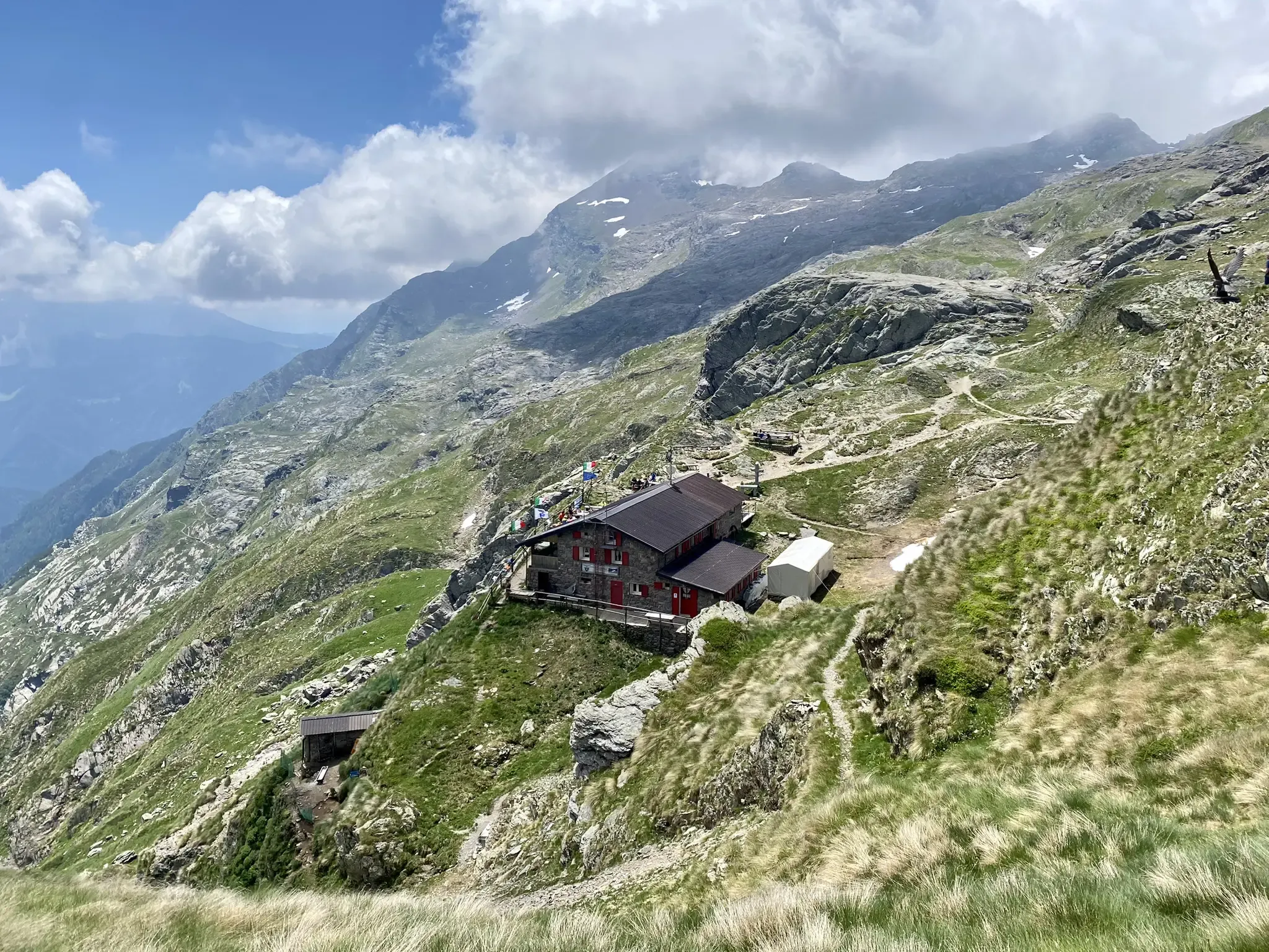
Antonio Curò nature route – two days in the Bergmanesque Alps
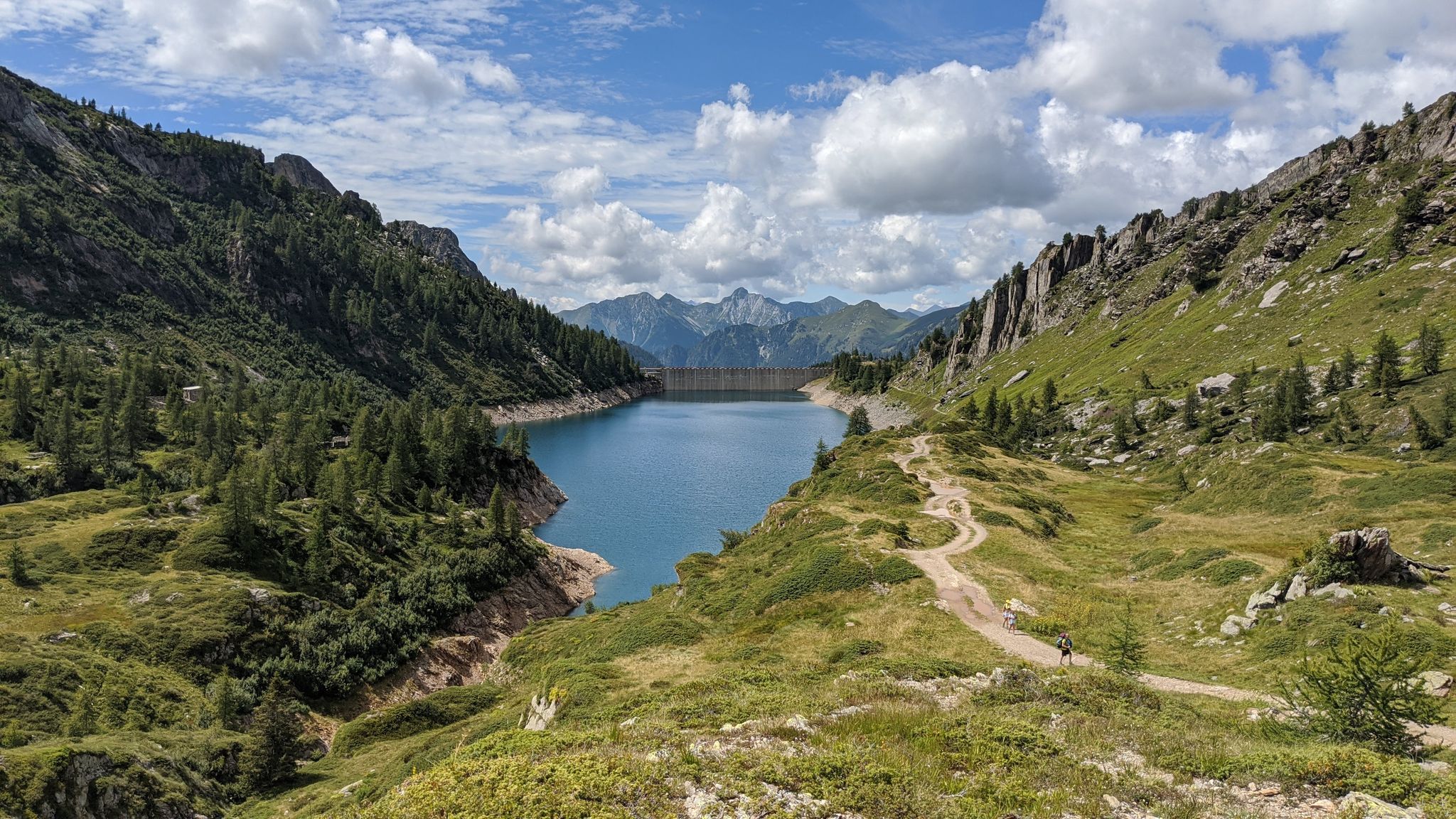
Eastern Orobie Path – a loop through Italy’s Orobie Mountains

A stone's throw from Presolana – trekking in Italy’s Val Seriana
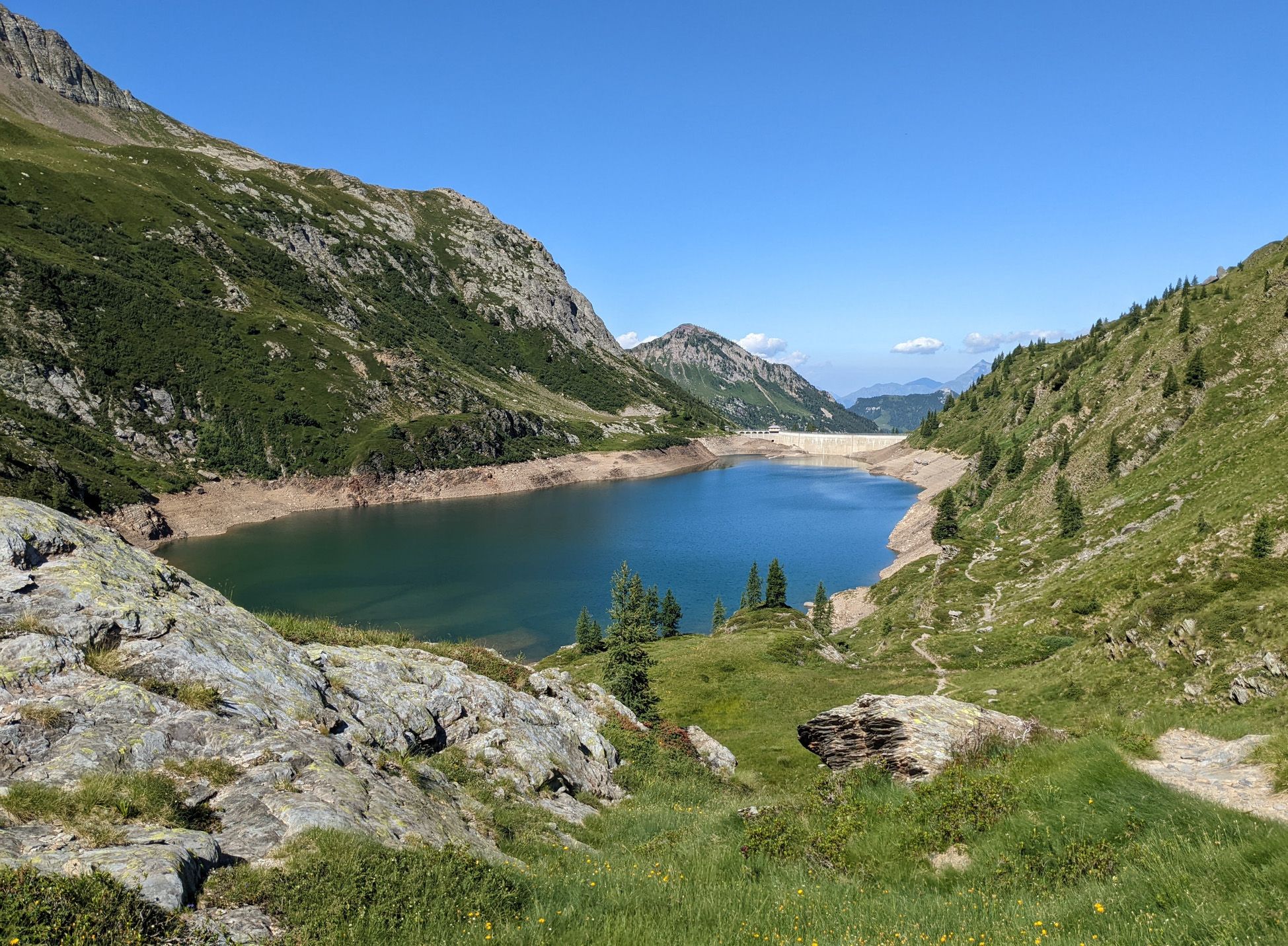
Walking on water – lakes, rivers and waterfalls in the Bergamo valleys
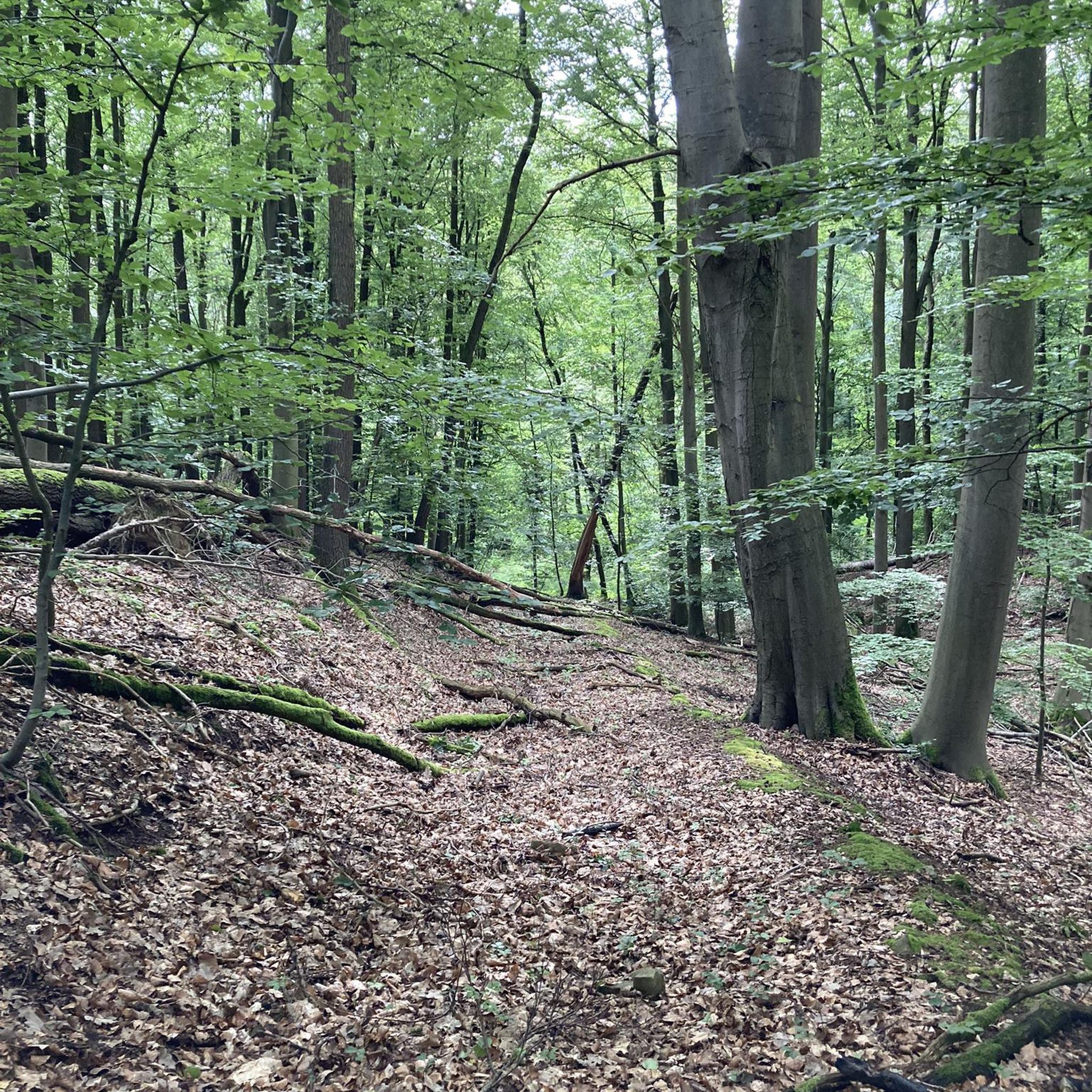
Traffic-free bike rides around Valbondione

Traffic-free bike rides around Valbondione
Other adventures around Valbondione


Tips from the Community

Ascent that crosses several very well-equipped and beautiful villages to see.
0
0

It's a little confusing with two parallel bridges and an intersection how to get onto the pedestrian/bike bridge.
0
0

Water Spiazzi equipped area
0
0
small bridge that allows you to safely cross the Val Sedornia stream
0
0

I've done it twice in the same lap, first from Desso, then after climbing Monte Pora. They're completely different. From Desso, it's long and always in double digits, with significant peaks, so take it with a pinch of salt; the other is rideable. Seeing is believing. 🚴♀️
0
0

I have an unpleasant memory at the spa, a colleague had run out of water and was denied access (even from the tap) because they said they were closed and he couldn't use the cash register... then it was resolved at the Magnolini.
0
0

Feasible with gravel, if ridden aggressively and used to riding on rough terrain
0
0

Arrival pass of the stage of many international races and above all essential for passing various passes such as Passo Cristina, Passo Mortirolo and Tonale
0
0
Frequently Asked Questions
What kind of terrain can I expect on the no-traffic gravel bike trails in Valbondione?
Valbondione offers a diverse mix of terrain perfect for gravel biking. You'll find routes combining asphalt, gravel paths, secondary roads, and even some mule tracks. The region's varied landscape, from dense woods to expansive pastures and rocky corridors, ensures a constantly changing and engaging environment. Tires of at least 35 mm are recommended for optimal performance.
Are there any challenging no-traffic gravel routes in Valbondione?
Yes, Valbondione is known for its more demanding gravel biking experiences. For instance, the Baita Termen – Presolana Pass loop from Castione della Presolana is rated as difficult, featuring significant elevation gain. Another challenging option is the Village of Gromo – Cycle Path Along the River loop from Boario, which also includes substantial climbing.
What are the best seasons for gravel biking in Valbondione to avoid traffic?
The best seasons for gravel biking in Valbondione, especially for traffic-free routes, are typically spring, summer, and early autumn. During these times, the weather is generally favorable, and the trails are most accessible. While some areas might be accessible in winter, conditions can be challenging due to snow and ice, particularly at higher elevations.
What natural attractions can I see along the no-traffic gravel bike trails in Valbondione?
Valbondione is rich in natural beauty. You might encounter the majestic Serio Waterfalls, Italy's highest, though their full flow is rare. The region is also dotted with stunning alpine lakes like Lake Barbellino and the natural Barbellino lake. Many routes offer views of the impressive Orobie Mountains, with peaks like Pizzo Coca and Pizzo Redorta. For a unique historical and natural blend, consider routes that pass near the Gleno Dam ruins.
Are there any scenic viewpoints or panoramic spots on the gravel routes?
Absolutely. The Orobie Mountains surrounding Valbondione offer breathtaking panoramic viewpoints. Many trails lead to high-altitude spots or mountain passes like Presolana Pass or Vivione Pass, providing expansive vistas of the valleys and peaks. The area around Savina Chapel also offers significant views.
What do other gravel bikers enjoy most about the no-traffic routes in Valbondione?
The komoot community highly rates the gravel biking experience in Valbondione, with an average score of 4.3 stars. Reviewers often praise the region's stunning natural beauty, the quiet and immersive experience of the traffic-free trails, and the diverse terrain that keeps rides engaging. The sense of adventure in the Orobie Mountains is a frequently highlighted aspect.
Are there any circular gravel bike routes available in Valbondione?
Yes, several routes in the Valbondione area are designed as loops, allowing you to start and finish at the same point. Examples include the challenging Baita Termen – Presolana Pass loop from Castione della Presolana and the Village of Gromo – Cycle Path Along the River loop from Boario. These circular routes are excellent for exploring without needing to retrace your steps.
Are there any historical or cultural sites accessible from the gravel bike trails?
Beyond natural wonders, Valbondione offers historical intrigue. The evocative ruins of the Gleno Dam are a significant site. You might also encounter charming villages like Pagliari, known for its unique atmosphere. Religious sites such as the Manina Chapel or the Savina Chapel are also notable landmarks in the area.
Can I find places to eat or rest along the no-traffic gravel routes?
While many routes are remote, the region has several mountain refuges that serve as excellent resting points and often offer food and drink. Città di Clusone bivouac and Rifugio Antonio Curò are highly visited, providing superb views and amenities. The Rifugio Carlo Medici at Cassinelli is another ideal stop, complete with picnic areas.
What kind of tires are recommended for gravel biking in Valbondione?
Given the varied terrain of asphalt, gravel, and some rougher sections, tires of at least 35 mm are highly recommended for gravel biking in Valbondione. This width provides a good balance of comfort, grip, and speed across different surfaces, ensuring a more enjoyable and safer ride on the region's diverse trails.
Are there any routes that follow the Serio river?
Yes, a significant highlight for cyclists is the Val Seriana cycle path, which largely follows the Serio river. This path features both paved and pleasant dirt sections, allowing cyclists to traverse through charming villages and natural scenery, often with minimal traffic.
Most popular routes around Valbondione
Most popular attractions around Valbondione

Get inspired with the komoot mobile app


Explore more
Browse the best Gravel rides in other regions.
