The best running trails around Valbondione
4.5
(8)
682
runners
14
runs
Jogging around Valbondione offers a challenging exploration of the region's mountainous terrain. The area is characterized by steep ascents to alpine refuges and trails winding through high valleys, providing demanding Valbondione running trails for experienced runners. The landscape is dominated by rugged peaks and forested slopes, with paths leading to scenic viewpoints. Valbondione jogging route difficulty is generally high, with significant elevation changes on most routes.
Best jogging routes around Valbondione
- The most popular jogging route is Rifugio Antonio Curò…
Last updated: June 22, 2026
85
runners
6.12km
02:04
920m
920m
Hard run. Very good fitness required. Sure-footedness, sturdy shoes and alpine experience required.
34
runners
8.30km
01:27
770m
770m
Hard run. Very good fitness required. Sure-footedness, sturdy shoes and alpine experience required.

Sign up for free
21
runners
16.7km
01:51
330m
330m
Hard run. Very good fitness required. Mostly paved surfaces. Suitable for all skill levels.
12
runners
10.7km
02:14
920m
920m
Hard run. Very good fitness required. Sure-footedness, sturdy shoes and alpine experience required.
9
runners
8.94km
01:27
520m
520m
Hard run. Very good fitness required. Sure-footedness, sturdy shoes and alpine experience required.
Get access to more routes and recommendations from other explorers.
Sign up for free
Already have an account?
Our route recommendations are based on thousands of hikes, rides, and runs completed by other people on komoot.
Start today with a free account
Your next adventure awaits.
Login or Signup
Popular around Valbondione
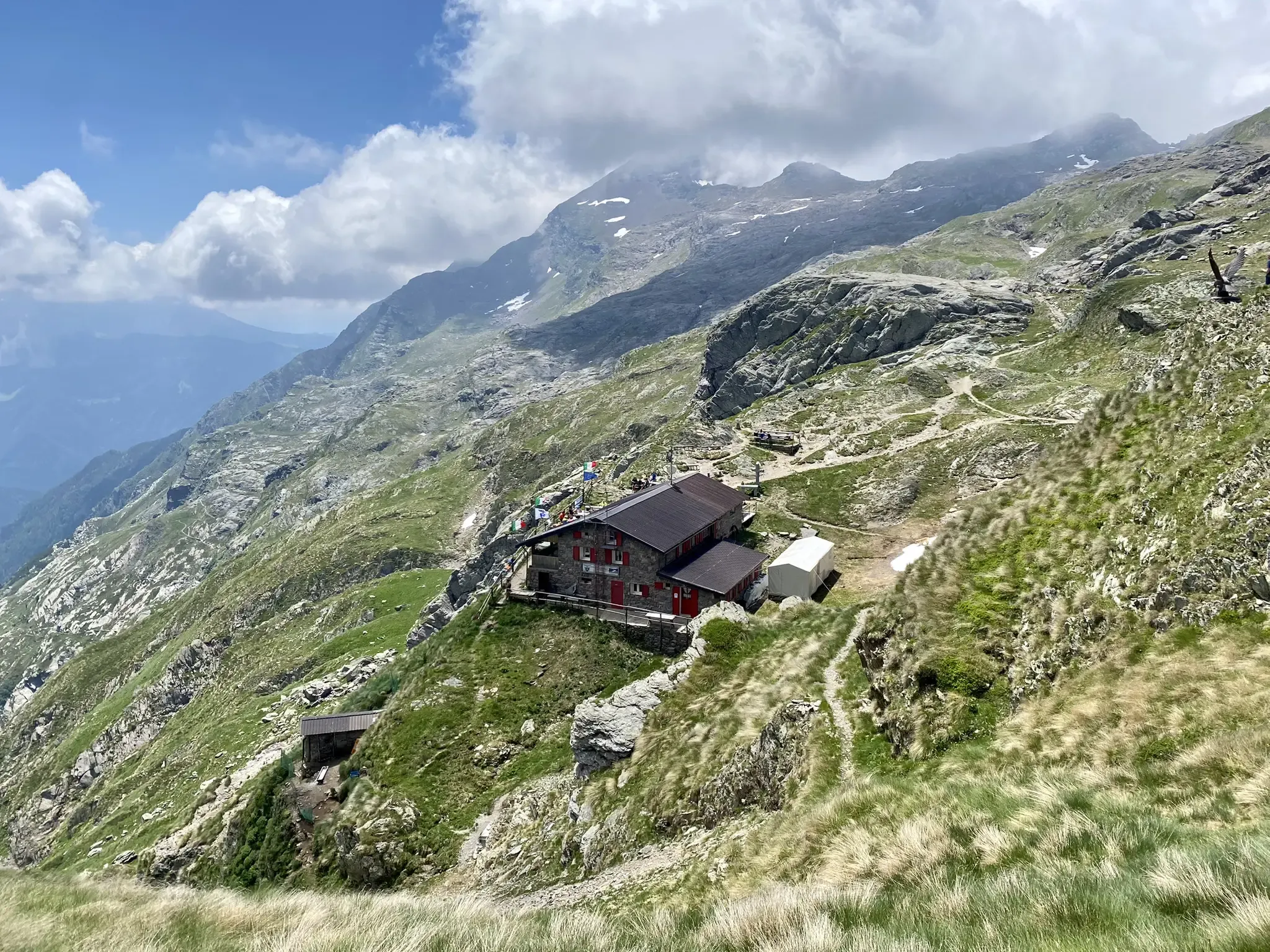
Antonio Curò nature route – two days in the Bergmanesque Alps
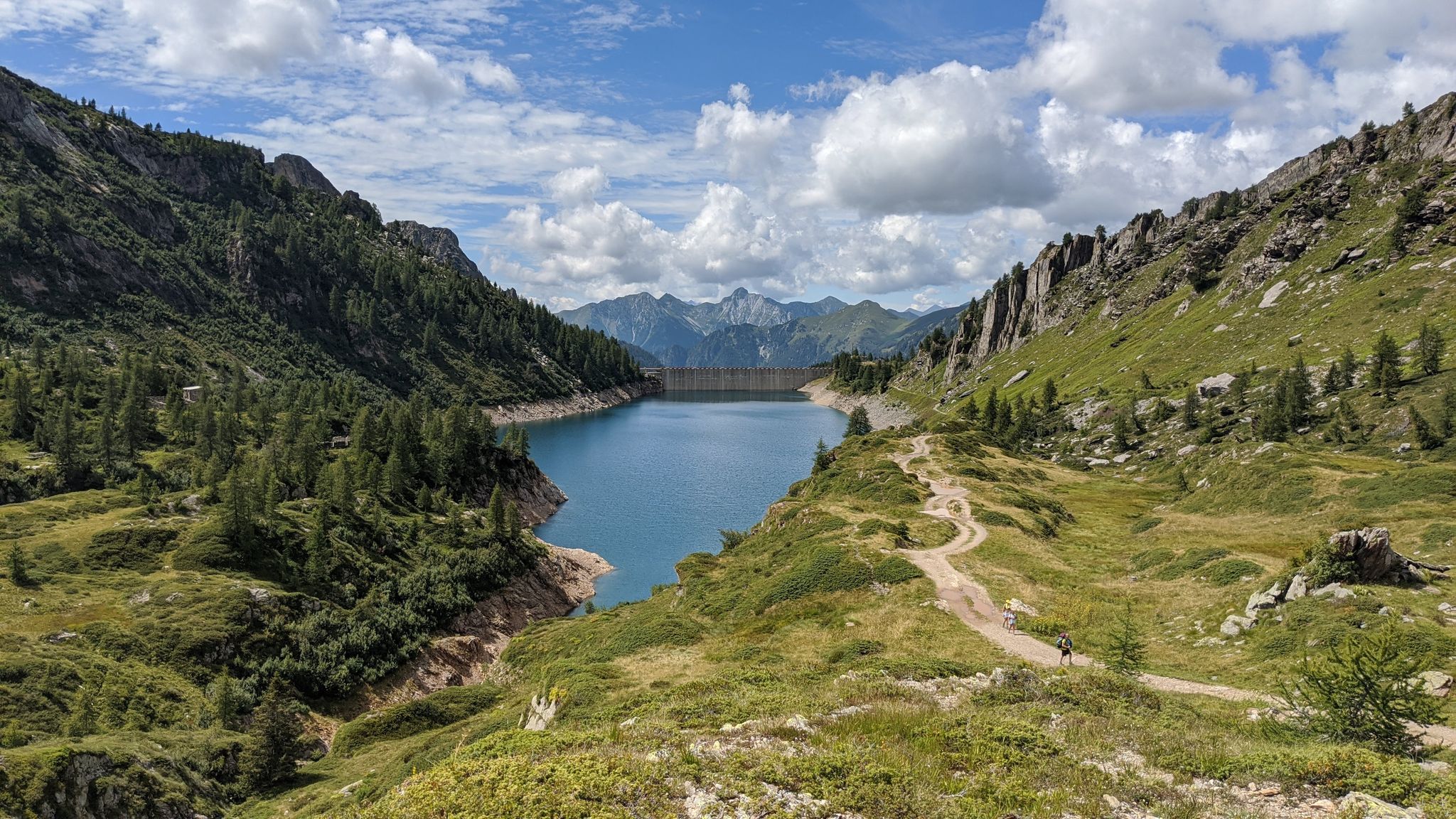
Eastern Orobie Path – a loop through Italy’s Orobie Mountains

A stone's throw from Presolana – trekking in Italy’s Val Seriana
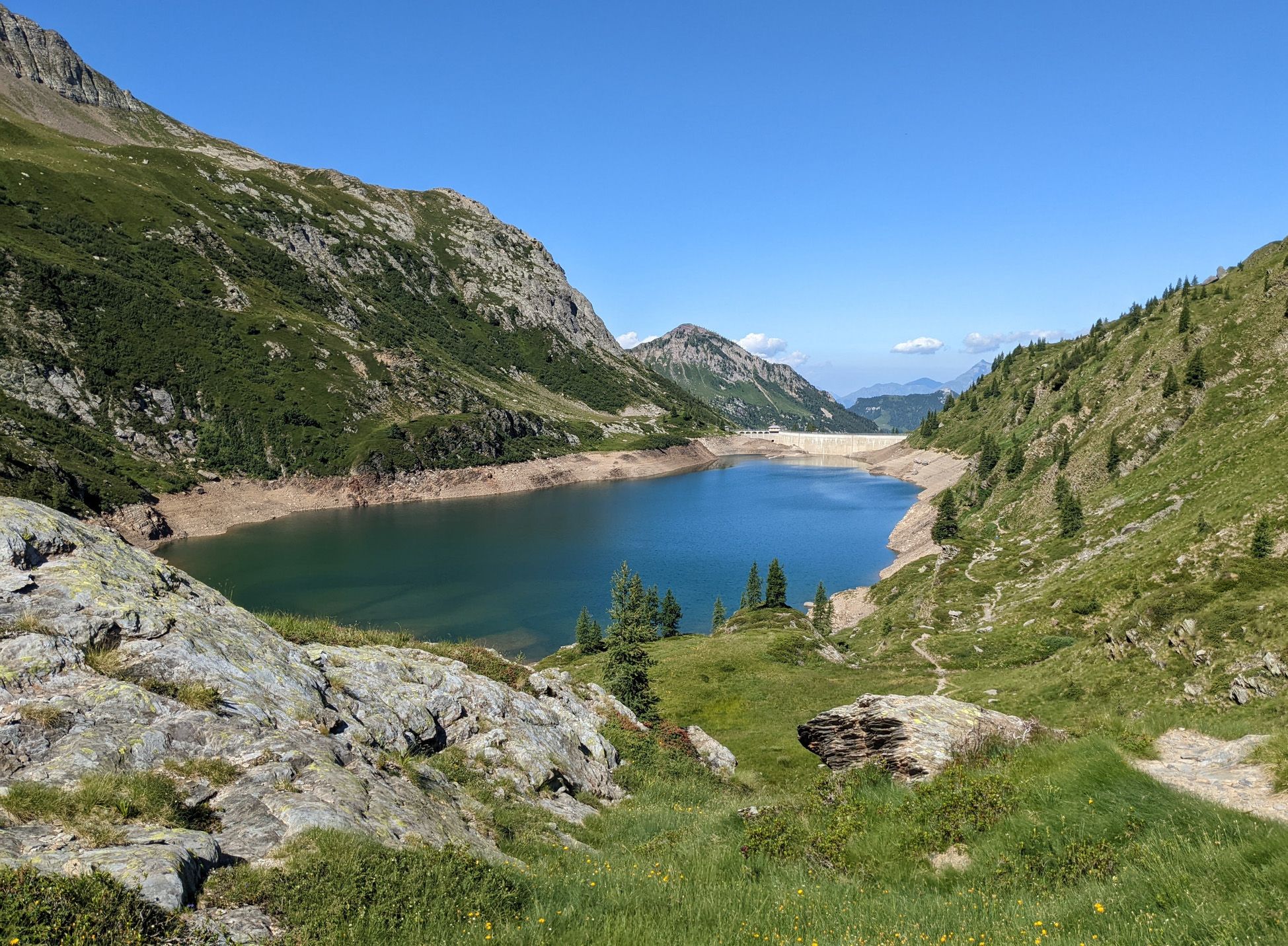
Walking on water – lakes, rivers and waterfalls in the Bergamo valleys
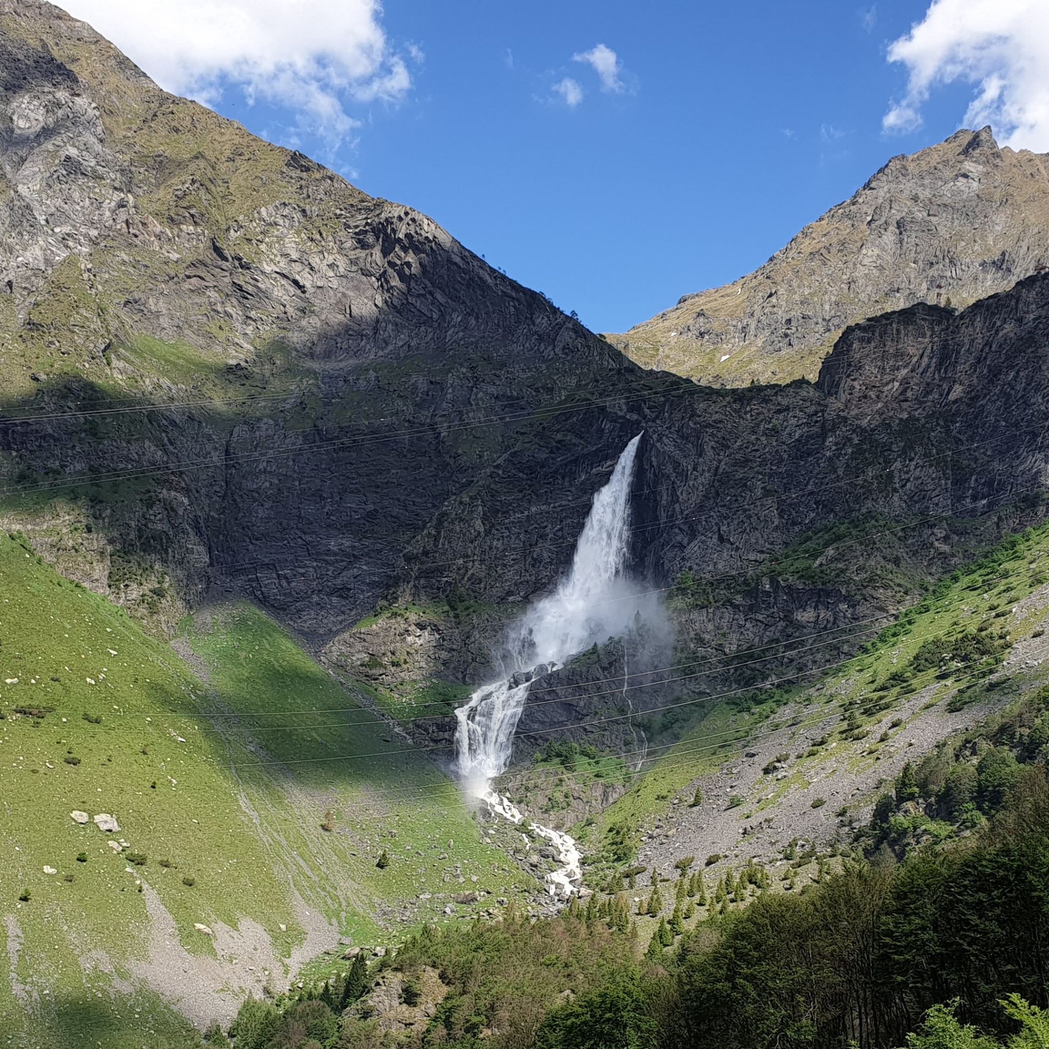
Hiking around Valbondione
Road Cycling Routes around Valbondione
Cycling around Valbondione
MTB Trails around Valbondione

Mountain Hikes around Valbondione

Gravel biking around Valbondione
Other adventures around Valbondione


Tips from the Community

A passage that may frighten the less experienced but is safe and without major difficulties
0
0
Merelli Refuge at Coca: a rugged and fascinating place in the Orobie Alps The Mario Merelli Refuge at Coca, at 1,891 meters, is one of the most iconic spots in the Coca Valley. Dedicated to the Bergamo mountaineer Mario Merelli, it retains his spirit: essential, authentic, deeply rooted in the mountains. Its location is what immediately strikes you: a natural balcony leading to the basin of the Orobie Giants, dominated by Pizzo Coca, Redorta, Scais, and Porola, a cluster of peaks that creates an imposing and almost solemn amphitheater. The ascent from Valbondione The classic access starts from Valbondione, near the village of Grumetti. The trail climbs steeply from the start, gaining altitude with regular switchbacks. It's a route that many describe as steep but safe, challenging enough to give you a sense of the mountain without ever becoming technical or exposed. Once out of the forest, the valley opens up and the dark walls of the Coca appear; The final, more challenging stretch leads to the refuge, which suddenly appears on a panoramic hill. The effort is always rewarded: those who arrive speak of its astonishing beauty and a setting that remains in their hearts. A refuge that tells a story The Merelli is a base for climbing Pizzo Coca and for crossings to the Brunone and Curò refuges, but it is also a place of memory. Inside, you can feel the legacy of Mario Merelli, and the atmosphere is that of the refuges of old: simple, welcoming, and sincere. It is a refuge that is not reached by chance: it is reached with commitment, and perhaps for this very reason, it leaves a profound impression.
0
0


A lovely refuge at the end of the Lizzola chairlift. Several trails start here, the one to Lake Spigorel is recommended. The refuge is packed in August, and it's difficult to book a lunch reservation, but you can have sandwiches made and excellent cakes to go.
0
0

A charming district to pass through if you want to take an alternative route to reach Curò
0
0

Small refuge near the Lizzola ski lifts, highly recommended in spring when the lifts are closed and therefore there are few excursions to have the opportunity to enjoy the landscape and the tranquility that this place offers. From Lizzola you can go up from the ski slopes (when they are closed) or passing through the Passo della Manina (longer path but with less slope). Excellent cuisine, do not miss the village cake! very good.
0
0
beautiful but the people a little less so
1
0

Excellent base for ski mountaineering and downhill skiing trips
0
0
Frequently Asked Questions
What is the general difficulty level of running routes in Valbondione?
Running routes in Valbondione are generally challenging, featuring significant elevation changes and mountainous terrain. Most of the 13 available routes are classified as difficult, making them best suited for experienced runners seeking a demanding workout.
Are there any easy or moderate running trails for beginners in Valbondione?
Valbondione's running network is primarily designed for experienced runners. Out of 13 routes, there are no easy trails, and only one is classified as moderate. Beginners might find the terrain demanding due to the steep ascents and descents.
What kind of terrain can I expect on Valbondione's jogging paths?
You can expect rugged mountain paths, forested slopes, and trails winding through high alpine valleys. Many routes lead to mountain refuges, offering expansive views and a true alpine running experience.
Are there any circular running routes in Valbondione?
Yes, many of Valbondione's running routes are circular. For example, the Rifugio Antonio Curò loop from Valbondione, the Rifugio Mario Merelli al Coca loop from Valbondione, and the Monte Sponda Vaga – Rifugio Mirtillo loop from Valbondione are all popular circular options.
What are some interesting natural attractions or landmarks I can see while jogging in Valbondione?
Valbondione offers several natural attractions. You might encounter features like the Pagani Cave, the unique Giant's Kettles of Valzurio, or the scenic Sanguigno Valley. Some routes also pass by historical sites like the Old Via Mala Road and Tunnels or the Val Belviso and Lake Belviso.
What do other runners enjoy most about jogging in Valbondione?
The komoot community highly rates the running experience in Valbondione, with an average score of 4.6 stars. Runners often praise the challenging mountain paths, the stunning alpine scenery, and the rewarding views from the high-altitude refuges.
Are there any routes that offer particularly good viewpoints?
Many of Valbondione's routes lead to prominent mountain refuges, which inherently offer expansive and breathtaking views of the surrounding rugged peaks and valleys. Trails like the Rifugio Antonio Curò loop are known for their scenic rewards.
Is Valbondione suitable for family jogging or running with children?
Given the predominantly difficult nature of the trails and significant elevation changes, Valbondione's running routes are generally not ideal for young children or casual family jogging. They are better suited for families with older, experienced runners.
Are dogs allowed on the running trails in Valbondione?
While specific regulations can vary, many trails in the Valbondione area are generally dog-friendly, especially if your dog is accustomed to mountainous terrain and you keep them on a leash. Always check local signage for any restrictions, particularly in protected areas or near livestock.
What is the best time of year to go running in Valbondione?
The best time for running in Valbondione is typically from late spring to early autumn (May to October). During these months, the weather is generally more stable, and trails are free of snow, making the high-altitude paths accessible. Summer offers warmer temperatures, while spring and autumn provide cooler conditions and vibrant foliage.
Are there any cafes or refreshment stops along the running routes?
Many of the running routes in Valbondione lead to mountain refuges (like Rifugio Antonio Curò, Rifugio Mario Merelli al Coca, or Rifugio Mirtillo). These refuges often provide opportunities for refreshments, snacks, or even a meal, making them excellent rest stops during your run. It's advisable to check their opening times in advance, especially outside peak season.
Where can I find parking for the running trails in Valbondione?
Valbondione, as a starting point for many trails, typically offers designated parking areas within or on the outskirts of the village. For specific routes, it's best to check the individual route descriptions on komoot, as they often include details about trailhead access and parking availability.
Most popular routes around Valbondione
Most popular attractions around Valbondione

Get inspired with the komoot mobile app


Explore more
Browse the best Running Trails & Routes in other regions.
