The best mountain hikes around Valbondione
4.5
(13)
72
hikers
8
hikes
Mountaineering routes around Valbondione are situated within the Orobie Alps, characterized by impressive peaks and varied terrain. The region features high-altitude summits, rocky corridors, and numerous alpine lakes, providing a diverse landscape for mountaineering. Valbondione serves as a base for exploring these natural features, which include some of the highest points in the Bergamo Alps. The area offers a vast selection of marked trails with significant altitude differences.
Best mountaineering routes around Valbondione
- The most popular mountaineering route is Lago…
Last updated: October 8, 2026
4.3
(3)
23
hikers
12.0km
07:10
1,290m
1,290m
Hard mountaineering route. Very good fitness required. Sure-footedness, sturdy shoes and alpine experience required.
3.3
(4)
12
hikers
9.88km
04:48
920m
920m
Hard mountaineering route. Very good fitness required. Sure-footedness, sturdy shoes and alpine experience required.

5.0
(1)
5
hikers
16.8km
07:46
1,290m
1,290m
Hard mountaineering route. Very good fitness required. Sure-footedness, sturdy shoes and alpine experience required.
4.3
(3)
9
hikers
20.9km
08:48
1,510m
1,510m
Hard mountaineering route. Very good fitness required. Sure-footedness, sturdy shoes and alpine experience required.
6
hikers
13.9km
07:58
1,470m
1,460m
Hard mountaineering route. Very good fitness required. Sure-footedness, sturdy shoes and alpine experience required.
Get access to more routes and recommendations from other explorers.
Already have an account?
Our route recommendations are based on thousands of hikes, rides, and runs completed by other people on komoot.
Start today with a free account
Your next adventure awaits.
Popular around Valbondione
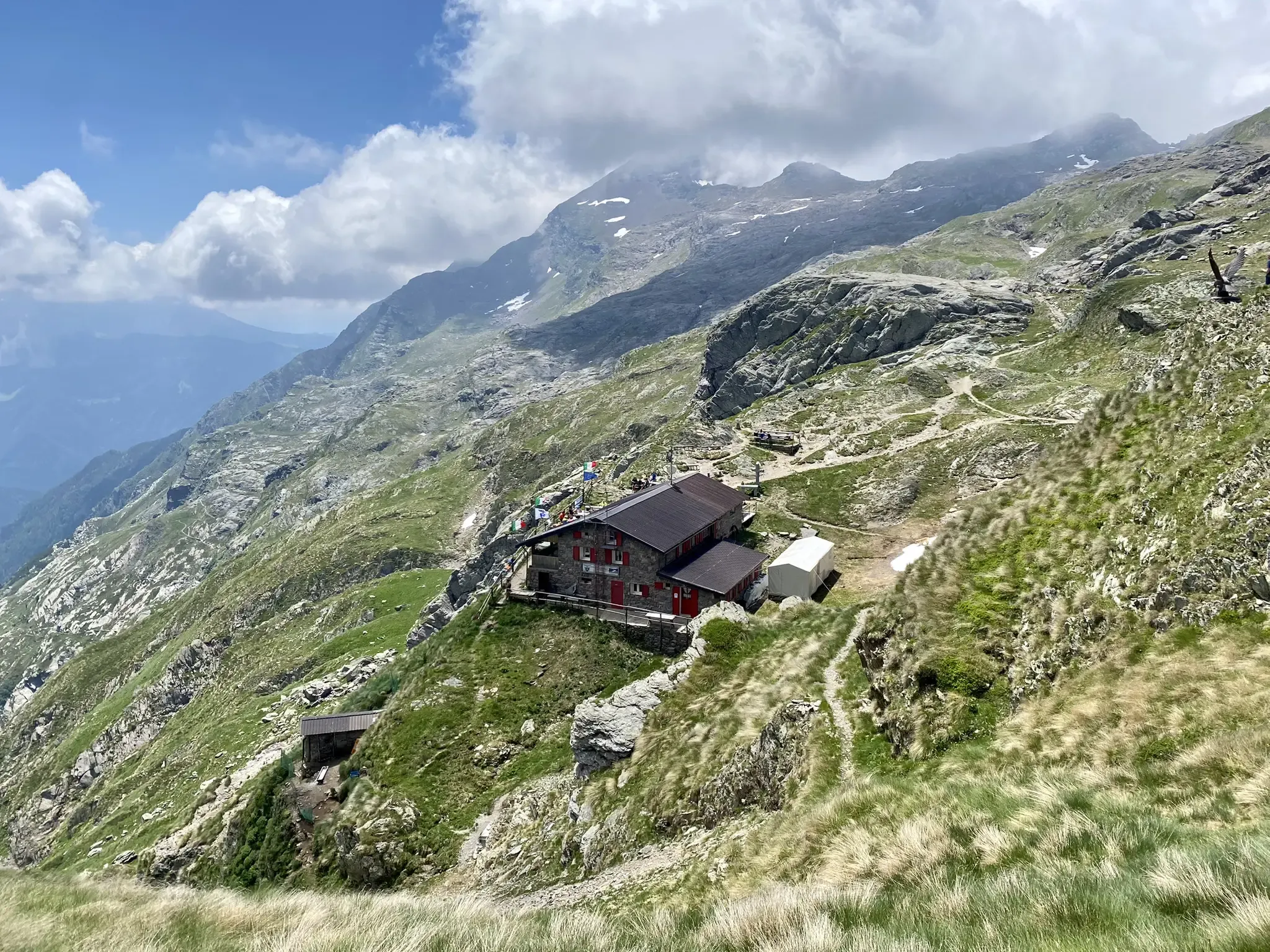
Antonio Curò nature route – two days in the Bergmanesque Alps
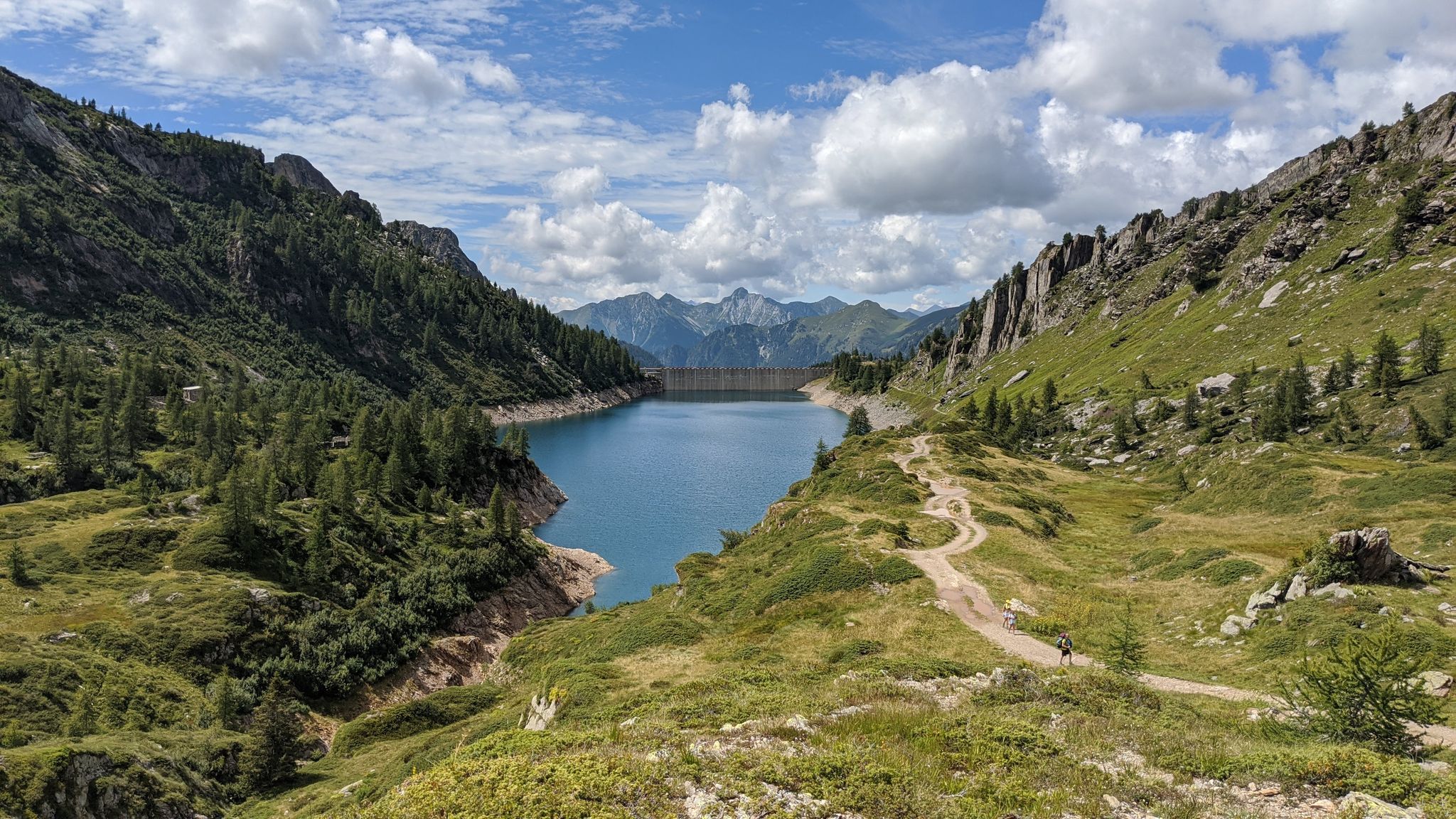
Eastern Orobie Path – a loop through Italy’s Orobie Mountains

A stone's throw from Presolana – trekking in Italy’s Val Seriana
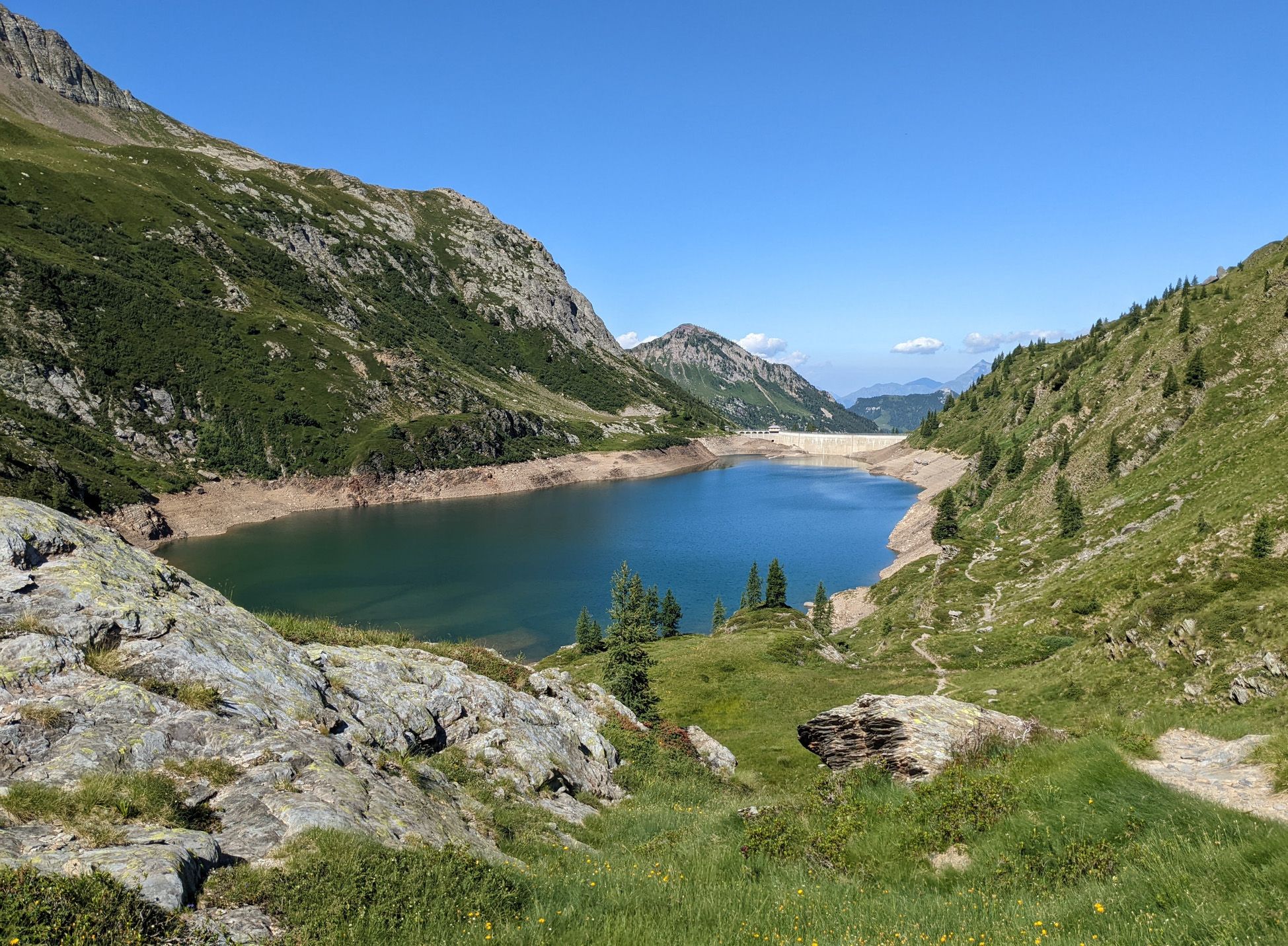
Walking on water – lakes, rivers and waterfalls in the Bergamo valleys
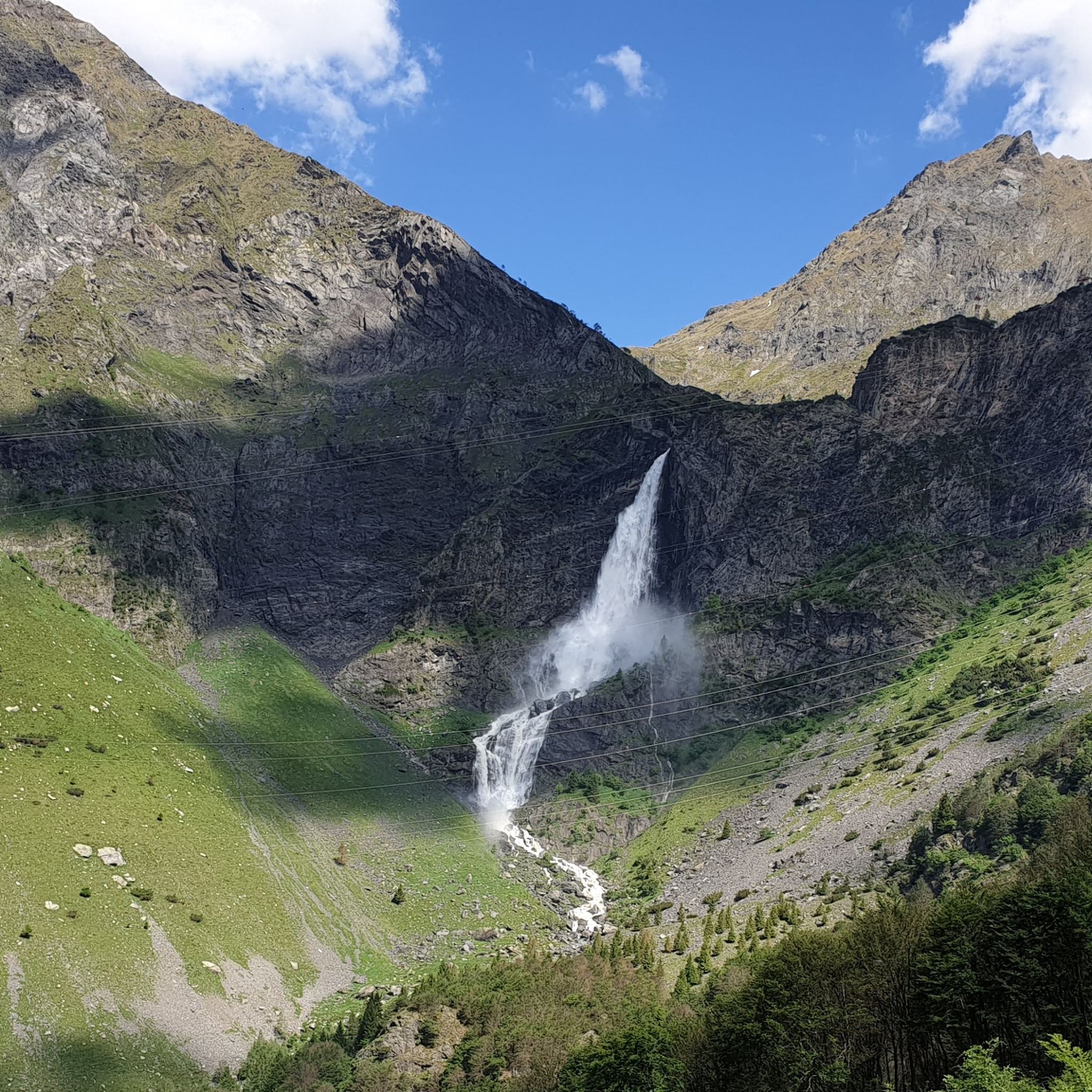
Hiking around Valbondione
MTB Trails around Valbondione
Road Cycling Routes around Valbondione
Cycling around Valbondione
Running Trails around Valbondione

Gravel biking around Valbondione
Other adventures around Valbondione


Tips from the Community

On the way up to the Coca refuge, you will find this staircase
0
0
Stone staircase on the path to the Coca refuge
0
0

cover charge 1€ extra bread 1€ barley soup 9€ gnocchi with cream, speck, Zola 13€ pasta with ragu 12€ polenta with goulash or stew 16€
0
0


Monte Madonnino is a peak in the Orobie Alps, 2,502 meters high, located on the natural border between Val Brembana and Val Seriana. It owes its name to the small statue of the Madonna placed on the summit, an exceptional panoramic point from which you can admire giants such as Pizzo del Diavolo di Tenda and Monte Rosa.
0
0

A passage that may frighten the less experienced but is safe and without major difficulties
1
0
Merelli Refuge at Coca: a rugged and fascinating place in the Orobie Alps The Mario Merelli Refuge at Coca, at 1,891 meters, is one of the most iconic spots in the Coca Valley. Dedicated to the Bergamo mountaineer Mario Merelli, it retains his spirit: essential, authentic, deeply rooted in the mountains. Its location is what immediately strikes you: a natural balcony leading to the basin of the Orobie Giants, dominated by Pizzo Coca, Redorta, Scais, and Porola, a cluster of peaks that creates an imposing and almost solemn amphitheater. The ascent from Valbondione The classic access starts from Valbondione, near the village of Grumetti. The trail climbs steeply from the start, gaining altitude with regular switchbacks. It's a route that many describe as steep but safe, challenging enough to give you a sense of the mountain without ever becoming technical or exposed. Once out of the forest, the valley opens up and the dark walls of the Coca appear; The final, more challenging stretch leads to the refuge, which suddenly appears on a panoramic hill. The effort is always rewarded: those who arrive speak of its astonishing beauty and a setting that remains in their hearts. A refuge that tells a story The Merelli is a base for climbing Pizzo Coca and for crossings to the Brunone and Curò refuges, but it is also a place of memory. Inside, you can feel the legacy of Mario Merelli, and the atmosphere is that of the refuges of old: simple, welcoming, and sincere. It is a refuge that is not reached by chance: it is reached with commitment, and perhaps for this very reason, it leaves a profound impression.
0
0
The Cappelletta di San Carlo, which you encounter when climbing from Tezzi Alti di Gandellino towards Val Sedornia, is a small place of alpine devotion dedicated to Saint Charles Borromeo, a saint greatly venerated throughout Lombardy. Its origin is linked to popular tradition and the widespread presence of the Borromean cult in the Bergamo valleys, especially between the 17th and 18th centuries, when many rural communities erected chapels and votive markers to ask for protection against diseases, famines, and natural disasters. The chapel is located along an ancient connecting path between the hamlets of Tezzi and the pastures of Sedornia: a mandatory passage point for shepherds, farmers, and travelers. Precisely for this reason, the local community wanted to place a small, simple stone sacred building here, as a sign of protection for those undertaking the climb towards the mountain pastures. Its position, slightly raised from the path and overlooking the Sedornia stream, recalls the typical function of alpine votive chapels: to bless the journey and watch over the valley. Over time, the chapel has become an identity reference for the inhabitants of Gandellino and Tezzi. Even today, it is carefully maintained and is part of local cultural routes, as confirmed by tourist itineraries that include it among the historical points of interest in the area.
0
0
Frequently Asked Questions
What kind of terrain can I expect on mountaineering routes around Valbondione?
The Orobie Alps around Valbondione offer a diverse and challenging landscape. You'll encounter impressive high-altitude peaks, rocky corridors, and numerous alpine lakes. The terrain can range from dense woods and lush forests at lower elevations to high-altitude scree and exposed sections as you ascend towards summits like Pizzo Coca, Redorta, and Scais, which all exceed 3,000 meters.
Are there any circular mountaineering routes in Valbondione?
Yes, Valbondione offers several rewarding circular mountaineering routes. For instance, you can explore the Lago Sucotto – Lago d'Aviasco loop from Valgoglio, a difficult 12 km trail that takes you through high-altitude terrain and past alpine lakes. Another popular option is the Rifugio Mario Merelli al Coca – Lake Coca loop from Valbondione, offering stunning views of Lake Coca and passing by mountain refuges.
What natural attractions can I see along the mountaineering routes?
The region is rich in natural beauty. You can encounter spectacular features like the Serio Waterfalls, Italy's highest, which plunge 315 meters in three drops. The area also boasts several alpine lakes, including the artificial Barbellino Reservoir and Lago Moro, often surrounded by majestic peaks.
How many mountaineering routes are available in the Valbondione area?
There are over 10 dedicated mountaineering routes around Valbondione listed on komoot, with the majority being classified as difficult. These routes offer significant altitude differences and explore the high-altitude summits and serene alpine lakes of the Orobie Alps.
What is the best time of year for mountaineering in Valbondione?
The best time for mountaineering typically spans from late spring to early autumn (June to September) when trails are generally clear of snow and weather conditions are more stable. However, Valbondione also transforms in winter, offering opportunities for ski mountaineering and snowshoeing for those with appropriate experience and equipment.
Are there any routes that pass by mountain refuges?
Yes, many routes in Valbondione utilize the strategically located refuges. For example, the Rifugio Mario Merelli al Coca – Lake Coca loop from Valbondione passes by mountain refuges, providing essential resting points and bases for exploring the high mountains. Refuges like Rifugio Curò and Rifugio Barbellino are popular starting points for various expeditions.
What are some of the highest peaks accessible from Valbondione?
Valbondione is surrounded by formidable mountains, including three peaks exceeding 3,000 meters: Pizzo Coca, Redorta, and Scais, making it a coveted destination for experienced mountaineers. Other significant summits in the area include Monte Trobio and Monte Costone, all offering spectacular panoramic views.
What is the general difficulty level of mountaineering routes in Valbondione?
The mountaineering routes around Valbondione are predominantly challenging, with most classified as difficult. They often involve significant altitude differences, long distances, and can include exposed sections that are sometimes secured by cables. These routes are best suited for experienced mountaineers.
What do other mountaineers say about the routes in Valbondione?
The mountaineering routes in Valbondione are highly rated by the komoot community, with an average score of 4.6 stars from over 20 reviews. Mountaineers often praise the stunning panoramic views, the challenging yet rewarding ascents, and the pristine alpine environment.
Are there any routes that offer breathtaking views?
Absolutely. Many routes in the Valbondione area are renowned for their spectacular vistas. The Rifugio Vodala – Breathtaking View loop from Boario is specifically highlighted for its incredible scenery. Peaks like Pizzo Coca offer 360-degree views that can extend to the Bernina Group, while Pizzo Redorta is known for its incomparable summit views.
Can I find routes that explore multiple alpine lakes?
Yes, the region is dotted with numerous alpine lakes, and several routes are designed to showcase them. The Lago Sucotto – Lago d'Aviasco loop from Valgoglio is an excellent example, leading you past multiple high-altitude lakes. The area also features the large artificial Barbellino Lake and a smaller natural Barbellino Lake further upstream.
Most popular routes around Valbondione
Most popular attractions around Valbondione

Get inspired with the komoot mobile app


Explore more
Browse the best Mountain Hikes & Routes in other regions.
