The best cycling routes in Desfiladero De Los Gaitanes
4.7
(89)
1,821
riders
13
rides
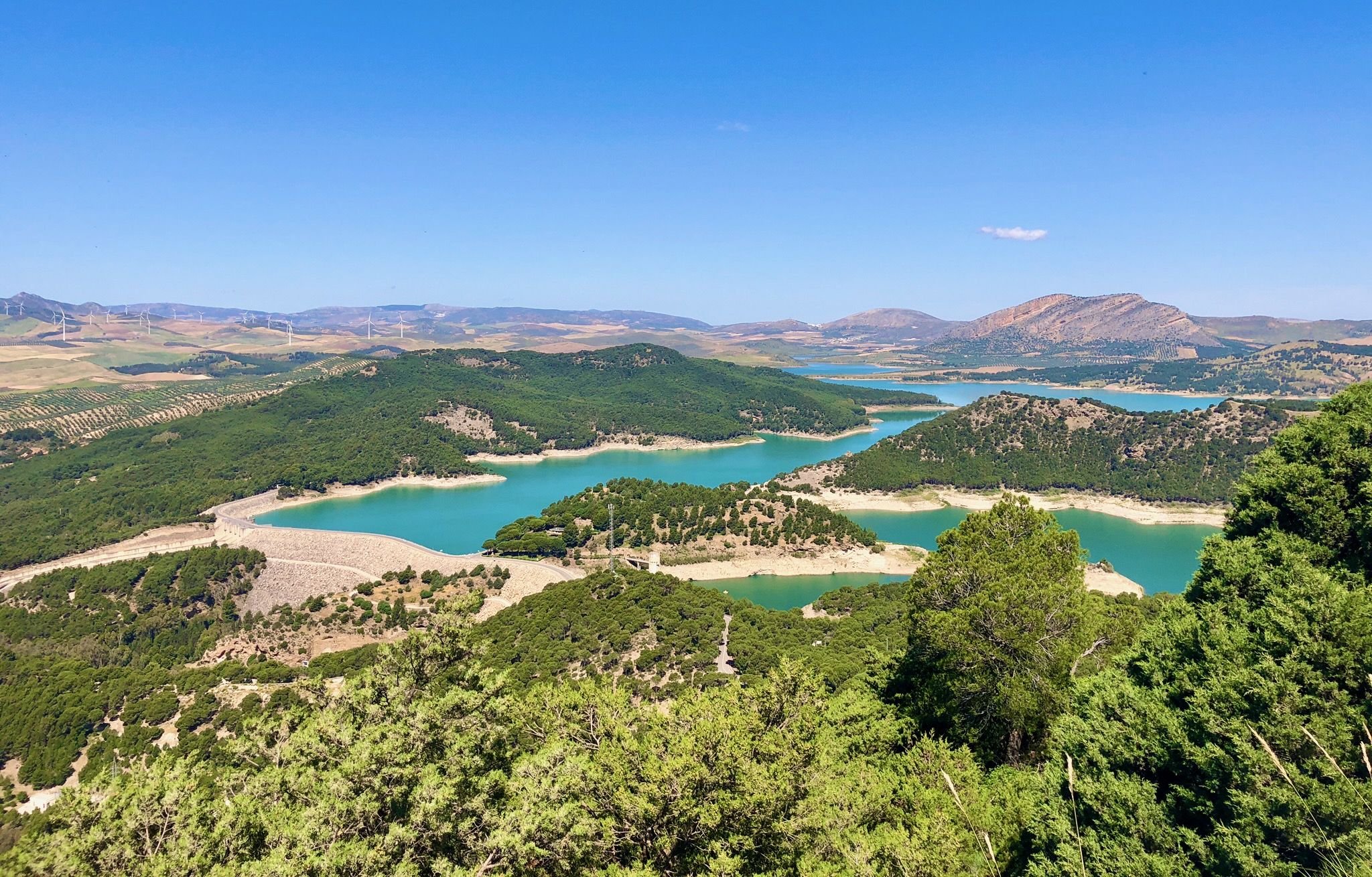
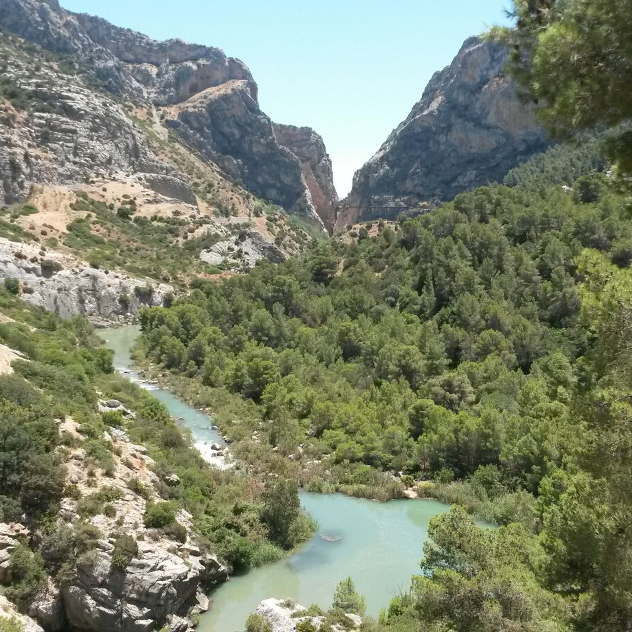
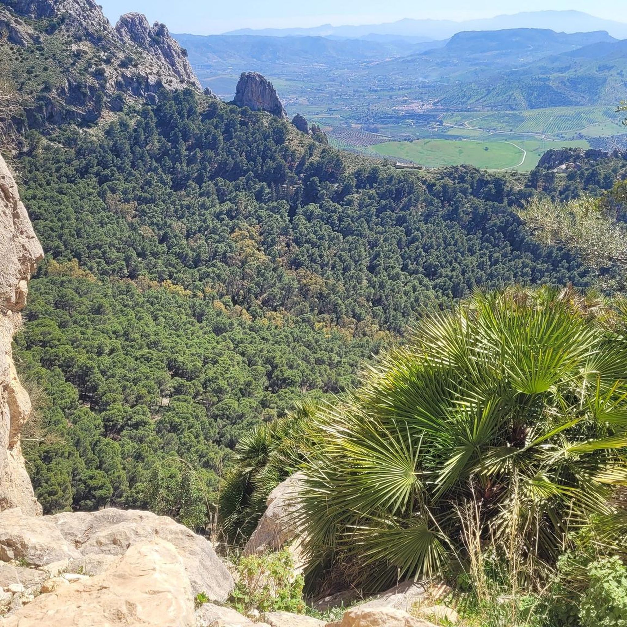
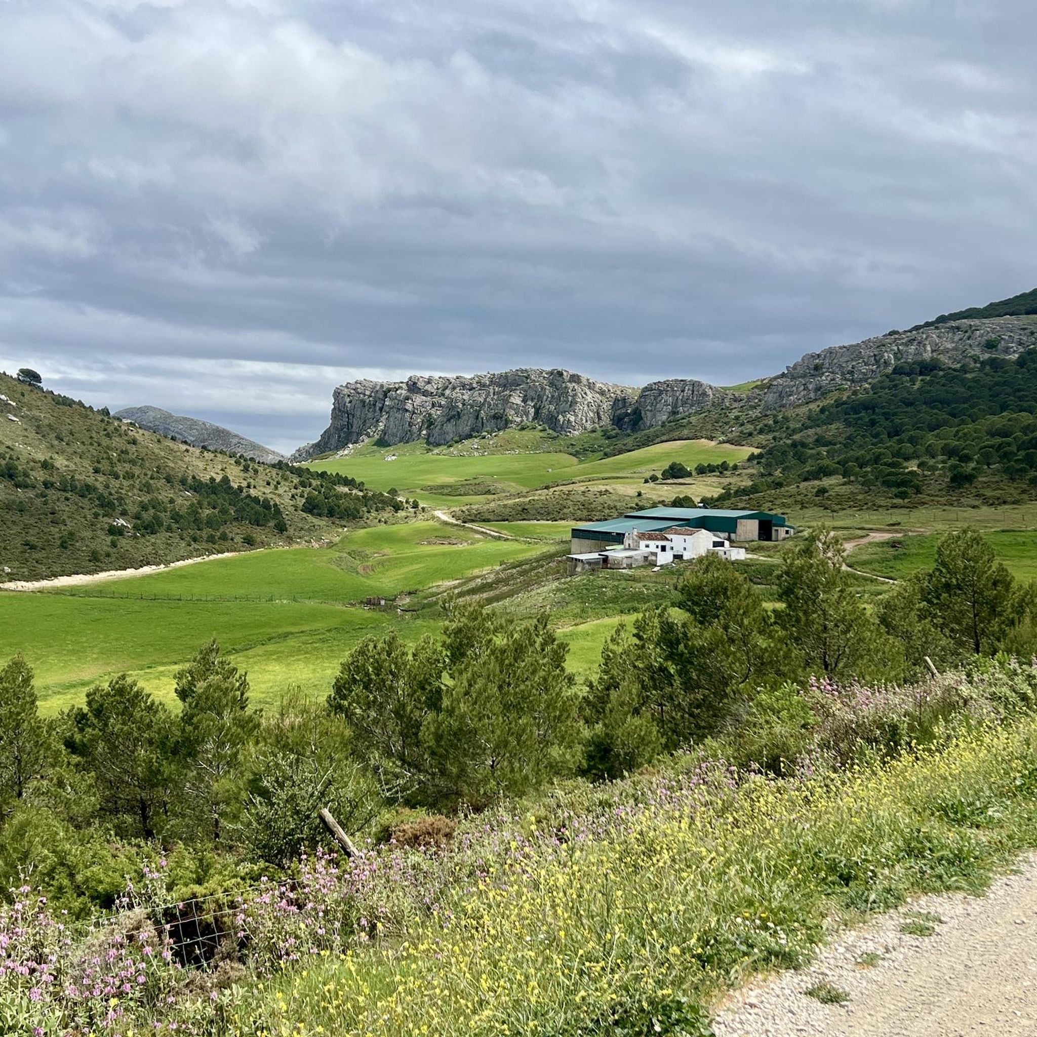
Touring cycling routes in Desfiladero De Los Gaitanes navigate a landscape defined by dramatic limestone and dolomite cliffs, carved by the Guadalhorce River. The region features a profound gorge, with sections narrowing to 10 meters, and is surrounded by protected natural areas of Aleppo pines, wild olive, and holm oaks. Cyclists can explore forest tracks and gravel paths that offer panoramic views of the cliffs, turquoise reservoirs, and Mediterranean forests. This terrain provides a diverse setting for various touring cycling…
Last updated: October 20, 2026
4.0
(16)
59
riders
Hard bike ride. Very good fitness required. Mostly paved surfaces. Suitable for all skill levels.
46
riders
Hard bike ride. Very good fitness required. Mostly paved surfaces. Suitable for all skill levels.

4.4
(5)
29
riders
10.5km
00:45
170m
170m
Moderate bike ride. Good fitness required. Mostly paved surfaces. Suitable for all skill levels.
5.0
(2)
30
riders
22.6km
02:04
750m
740m
Hard bike ride. Very good fitness required. Mostly paved surfaces. Suitable for all skill levels.
4.3
(4)
22
riders
12.4km
01:11
420m
420m
Moderate bike ride. Good fitness required. Mostly paved surfaces. Suitable for all skill levels.
Get access to more routes and recommendations from other explorers.
Already have an account?
Our route recommendations are based on thousands of hikes, rides, and runs completed by other people on komoot.
Start today with a free account
Your next adventure awaits.
Popular around Desfiladero De Los Gaitanes

On the road to the sun — bikepacking to southeast Spain

Hike between sea and mountains — Gran Senda de Málaga (GR 249)
Seven days walking along the Gran Senda de Málaga (GR 249)
Hiking in Desfiladero De Los Gaitanes
MTB Trails in Desfiladero De Los Gaitanes
Road Cycling Routes in Desfiladero De Los Gaitanes
Running Trails in Desfiladero De Los Gaitanes

Gravel biking in Desfiladero De Los Gaitanes
Other adventures in Desfiladero De Los Gaitanes


Tips from the Community

Well-lit tunnel as a shortcut to the start of the Caminito del Rey. A bit low for people 1.90m and taller, otherwise another highlight around the Caminito del Rey. The tunnel is approx. 500m long and you can see the end of the tunnel right from the beginning.
4
0

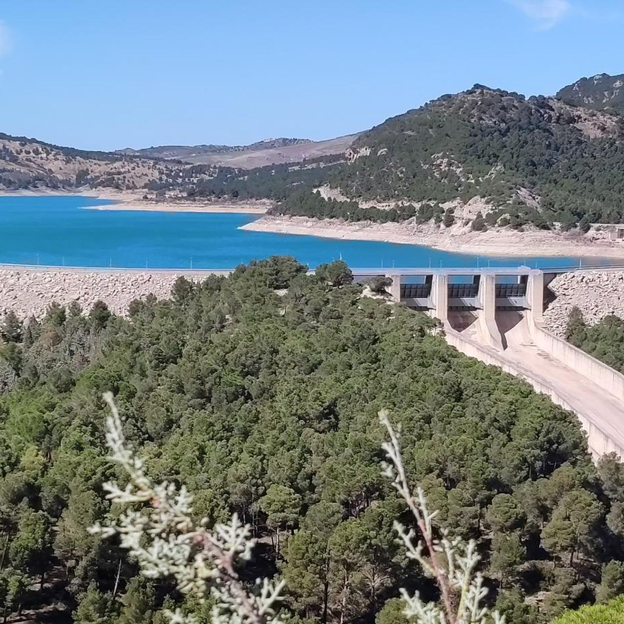
Great view of the reservoir
4
0
You can't get enough of it.
5
0

It is the beginning of the gorge
0
0

Construction site again
1
0

Short video about hiking in this area could be found on my YouTUBE Channel under the following https://www.youtube.com/watch?v=O9pw2RlrLgA
3
0

The Caminito del Rey Visitor Center is located at Puerto de las Atalayas and serves as an ideal starting point for a trip along the famous via ferrata. It offers modern facilities such as informational materials about the route, restrooms, a viewpoint overlooking the surrounding landscape, and a parking lot with over 200 spaces. Tickets are not sold directly at the center, but online or at the northern access point. A shuttle bus connects the two entrances to the trail, facilitating arrival and departure for visitors.
8
0
Frequently Asked Questions
What is the terrain like for touring cycling in Desfiladero De Los Gaitanes?
The terrain in Desfiladero De Los Gaitanes is characterized by dramatic limestone and dolomite cliffs, a profound gorge carved by the Guadalhorce River, and protected natural areas with Aleppo pines, wild olive, and holm oaks. Cyclists will find forest tracks and gravel paths offering panoramic views of the cliffs, turquoise reservoirs, and Mediterranean forests. The routes vary, providing options from moderate paths to more challenging routes with significant elevation gain.
Are there touring cycling routes for different skill levels?
Yes, Desfiladero De Los Gaitanes offers a diverse network of touring cycling routes catering to various abilities. You'll find options ranging from moderate paths to more challenging routes with significant elevation gain. Out of the 15 available routes, 5 are rated as moderate and 9 as difficult, ensuring there's something for every experienced touring cyclist.
What natural features or landmarks can I see while cycling in Desfiladero De Los Gaitanes?
While cycling, you'll encounter stunning natural features such as the profound gorge carved by the Guadalhorce River, towering limestone cliffs, and turquoise reservoirs. Notable attractions include the Conde de Guadalhorce Reservoir and the Gaitanejo Reservoir Dam. The famous Caminito del Rey, a suspended walkway, offers breathtaking views of the canyon, and while not for cycling, its viewpoints enhance any itinerary.
Are there circular touring cycling routes in Desfiladero De Los Gaitanes?
Many of the touring cycling routes in Desfiladero De Los Gaitanes are designed as loops, allowing you to start and end at the same point. Examples include the View of the Guadalhorce Reservoir – Guadalhorce Reservoir loop from Parking Ardales and the Guadalhorce Reservoir – View of the Guadalhorce Reservoir loop from Puerto de las Atalayas, which offer scenic circular journeys.
What is the best time of year for touring cycling in Desfiladero De Los Gaitanes?
The Mediterranean climate of Desfiladero De Los Gaitanes generally offers mild winters and hot summers. Spring (March to May) and Autumn (September to November) are typically the most pleasant seasons for touring cycling, with comfortable temperatures and vibrant natural scenery. Summers can be very hot, so early morning or late afternoon rides are advisable if cycling during these months.
Where can I park my car when cycling in Desfiladero De Los Gaitanes?
Several touring cycling routes in Desfiladero De Los Gaitanes conveniently start from designated parking areas. For instance, routes like the View of the Guadalhorce Reservoir – Guadalhorce Reservoir loop and Abfahrt in Richtung Ardales – Guadalhorce Reservoir loop both originate from Parking Ardales, making it a common starting point for cyclists.
Can I bring my dog on the touring cycling trails in Desfiladero De Los Gaitanes?
While Desfiladero De Los Gaitanes is a natural park, specific regulations regarding dogs on cycling trails can vary. It's generally advisable to keep dogs on a leash in protected areas to protect local wildlife and ensure the safety of other visitors. We recommend checking local park regulations or signage at trailheads for the most current information on dog access.
What kind of wildlife might I encounter while cycling?
Desfiladero De Los Gaitanes is a biodiversity hotspot. Cyclists might spot various bird species such as griffon vultures, peregrine falcons, golden eagles, and kestrels soaring above the cliffs. Mammals like otters, foxes, and mountain goats also inhabit the park, though they are often more elusive. The rich Mediterranean flora adds to the natural beauty.
Are there family-friendly touring cycling routes in the area?
While many routes in Desfiladero De Los Gaitanes are rated moderate to difficult, there are options suitable for families looking for a less strenuous ride. For instance, the Guadalhorce Reservoir – View of the Guadalhorce Reservoir loop from Puerto de las Atalayas is a moderate 8.8-mile (14.2 km) trail that leads through the scenic reservoir area, offering a more accessible experience.
What do other touring cyclists say about the routes in Desfiladero De Los Gaitanes?
The touring cycling routes in Desfiladero De Los Gaitanes are highly rated by the komoot community, with an average score of 4.6 stars from over 70 reviews. Cyclists often praise the dramatic landscapes, the stunning views of the gorge and reservoirs, and the diverse terrain that offers both challenging climbs and rewarding descents.
Are there any challenging touring cycling routes for experienced riders?
Yes, experienced touring cyclists will find plenty of challenging routes in Desfiladero De Los Gaitanes. For example, the Abfahrt in Richtung Ardales – Guadalhorce Reservoir loop from Parking Ardales is a difficult 32.7-mile (52.6 km) path featuring a significant descent and over 1000 meters of elevation gain. Another demanding option is the Tajo de la Encantada Dam – Bar El Pilar loop from Puerto de las Atalayas, which includes nearly 1000 meters of ascent.
Are there places to eat or stay near the cycling routes?
The area around Desfiladero De Los Gaitanes, particularly near El Chorro and Ardales, offers various amenities for visitors. You can find cafes and restaurants to refuel after your ride, as well as accommodation options ranging from guesthouses to rural hotels. These spots often provide a convenient base for exploring the cycling routes and other attractions.
Most popular routes in Desfiladero De Los Gaitanes
Most popular attractions in Desfiladero De Los Gaitanes

Get inspired with the komoot mobile app


Explore more
Browse the best Cycling routes in other regions.
