The best traffic-free bike rides in Desfiladero De Los Gaitanes
4.8
(43)
1,874
riders
16
rides
No traffic road cycling routes in Desfiladero De Los Gaitanes navigate a landscape defined by dramatic gorges, limestone cliffs, and the Guadalhorce River. The region features significant elevation changes, with routes often including sustained climbs and descents through mountainous terrain. Paved roads wind through areas with Mediterranean vegetation, offering views of the natural park's geological formations. The area provides varied terrain suitable for road cycling, from challenging ascents to more undulating paths.
Best no traffic road cycling routes in Desfiladero De Los Gaitanes
- The most popular no traffic road cycling route is Caminito del Rey – Steep climb in El Chorro loop from Parking Ardales, a 23.4 miles (37.7 km) trail that takes 2 hours 8 minutes to complete. This moderate route features significant elevation gain, offering views of the Caminito del Rey area.
- Another top favourite among local road cyclists is View of Caminito del Rey – Caminito del Rey loop from El Chorro-Caminito del Rey, a difficult 44.9 miles (72.2 km) path. This route includes over 3,480 feet (1,060 meters) of climbing, traversing varied terrain with panoramic views of the gorge.
- Local road cyclists also love the View of Caminito del Rey – El Chorro Gorge loop from Parking Ardales, a 11.1 miles (17.9 km) trail leading through the El Chorro Gorge, often completed in about 58 minutes.
- Road cycling in Desfiladero De Los Gaitanes is defined by dramatic gorges, limestone cliffs, and the Guadalhorce River. The network offers options for different ability levels, from moderate loops to difficult routes with substantial elevation.
- The routes in Desfiladero De Los Gaitanes are highly rated by the komoot community with an average score of 4.9 stars from more than 35 reviews. More than 1500 road cyclists have used komoot to explore Desfiladero De Los Gaitanes's varied terrain.
Last updated: October 16, 2026
43
riders
72.0km
03:46
1,060m
1,060m
Hard road ride. Very good fitness required. Mostly well-paved surfaces and easy to ride.
5.0
(3)
27
riders
17.3km
00:56
350m
350m
Moderate road ride. Good fitness required. Mostly well-paved surfaces and easy to ride.

28
riders
Hard road ride. Very good fitness required. Mostly well-paved surfaces and easy to ride.
10
riders
17.7km
00:54
300m
300m
Easy road ride. Great for any fitness level. Mostly well-paved surfaces and easy to ride.
3
riders
Moderate road ride. Good fitness required. Mostly well-paved surfaces and easy to ride.
Get access to more routes and recommendations from other explorers.
Already have an account?
Our route recommendations are based on thousands of hikes, rides, and runs completed by other people on komoot.
Start today with a free account
Your next adventure awaits.
Popular around Desfiladero De Los Gaitanes


Other adventures in Desfiladero De Los Gaitanes


Tips from the Community

Rewarding hike through the Guadalhorce gorge
0
0

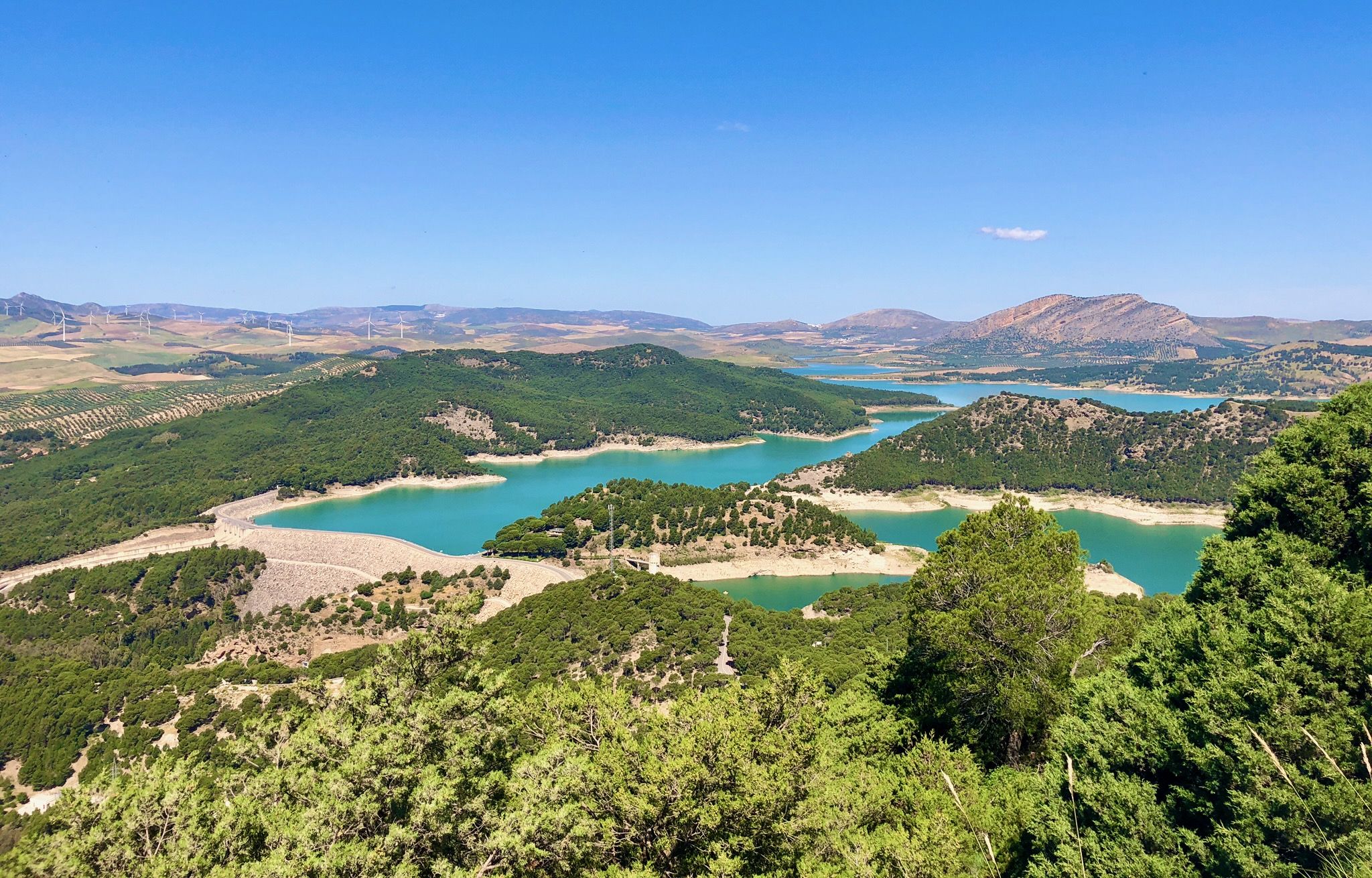
The Conde de Guadalhorce reservoir is nestled in a picturesque mountain landscape near El Chorro and impresses with turquoise water, steep rock faces and tranquil nature, making it a particularly idyllic destination for tours.
1
0

You can cycle right up to the viewpoint, it's worth it! ;)
1
0

It's amazing what has been created here
0
1

Construction site again
1
0

Short video about hiking in the area around Ardales could be found on my YouTUBE Channel under the following link: https://www.youtube.com/watch?v=awPz2AyvGT8
0
0
Short video about hiking in this area could be found on my YouTUBE Channel under the following https://www.youtube.com/watch?v=O9pw2RlrLgA
0
1
Short video about hiking in this area could be found on my YouTUBE Channel under the following https://www.youtube.com/watch?v=O9pw2RlrLgA
0
0
Frequently Asked Questions
How many no traffic road cycling routes are available in Desfiladero De Los Gaitanes?
There are 16 dedicated no traffic road cycling routes in Desfiladero De Los Gaitanes featured in this guide. These routes offer a mix of difficulties, with 1 easy, 7 moderate, and 8 difficult options to explore.
What is the general difficulty of no traffic road cycling in Desfiladero De Los Gaitanes?
The no traffic road cycling routes in Desfiladero De Los Gaitanes offer a range of difficulties. While there is 1 easy route, the majority are moderate (7 routes) or difficult (8 routes), often featuring significant elevation changes as you navigate the dramatic gorge and surrounding landscapes. For example, the Caminito del Rey loop from El Chorro-Caminito del Rey is a difficult 72 km ride with over 1000m of ascent.
Are there any family-friendly no traffic road cycling routes in the Desfiladero De Los Gaitanes region?
While many routes feature significant climbs, there is 1 easy route available in this guide, which could be suitable for families or those seeking a less strenuous ride. For a moderate option, the El Chorro Gorge loop from Parking Ardales is under 18 km with manageable elevation, offering a good balance for a family outing.
What kind of landmarks and viewpoints can I expect to see along these routes?
The no traffic road cycling routes in Desfiladero De Los Gaitanes offer breathtaking views of the dramatic gorge and its unique geological features. You can expect to see iconic landmarks like the Caminito del Rey, the impressive Desfiladero de los Gaitanes Gorge itself, and the scenic Gaitanejo Reservoir Dam. Many routes also pass by natural formations such as the Balcon de cristal, offering panoramic vistas.
What is the best time of year for no traffic road cycling in Desfiladero De Los Gaitanes?
The Desfiladero de los Gaitanes region generally enjoys a Mediterranean climate. Spring and autumn are often ideal for cycling, offering pleasant temperatures and less extreme weather. Summers can be very hot, so early mornings or late afternoons are recommended if cycling during this season. Winters are mild but can bring occasional rain.
Are there any circular no traffic road cycling routes available?
Yes, many of the no traffic road cycling routes in Desfiladero De Los Gaitanes are designed as loops, allowing you to start and finish at the same point. An example is the moderate Caminito del Rey – Steep climb in El Chorro loop from Parking Ardales, which provides a circular experience of the area's stunning scenery.
What do other road cyclists enjoy most about the no traffic routes in Desfiladero De Los Gaitanes?
The area is highly rated by the komoot community, with an average score of 4.9 stars from 37 ratings. Reviewers often praise the spectacular natural beauty of the gorge, the challenging climbs, and the unique experience of cycling through such a dramatic landscape with minimal traffic.
Are there any caves or unique geological features to see along the cycling routes?
Absolutely. The region boasts a rich geological heritage with numerous caves and chasms. While cycling, you might pass by areas with interesting rock formations, and some routes are near highlights like Túnel de los Tafonis or the historic Cave Houses of Sierra Parda, offering glimpses into the area's ancient past.
What kind of wildlife might I encounter while cycling in Desfiladero De Los Gaitanes?
Desfiladero de los Gaitanes is a biodiversity hotspot. While cycling, you might spot various birds of prey such as griffon vultures, golden eagles, falcons, and kestrels soaring above the dramatic cliffs. Mountain goats are also native to the area, and you might occasionally see other mammals like foxes or genets, especially in quieter sections of the routes.
Are there options for longer, more challenging no traffic road cycling routes?
Yes, for experienced cyclists seeking a challenge, there are several difficult routes available. For instance, the View of Canillas de Aceituno loop from El Chorro-Caminito del Rey is a demanding 67 km ride with nearly 1400m of elevation gain, offering a significant workout amidst stunning scenery.
Where can I find information about the Caminito del Rey if I want to visit it after my ride?
The Caminito del Rey is a world-renowned suspended walkway within the gorge. For detailed information on visiting hours, booking tickets, and any specific regulations, it is best to consult the official Caminito del Rey website or local tourism resources. You can also find more general information about the region's attractions on the Costa del Sol tourism blog.
Are there any routes that specifically focus on the El Chorro Gorge area?
Yes, several routes are centered around the dramatic El Chorro Gorge. The El Chorro Gorge – View of Caminito del Rey loop from El Chorro-Caminito del Rey is a moderate 22 km route that provides excellent views and a focused experience of this iconic natural feature.
Most popular routes in Desfiladero De Los Gaitanes
Most popular attractions in Desfiladero De Los Gaitanes

Get inspired with the komoot mobile app


Explore more
Browse the best Road cycling routes in other regions.
