The best MTB trails in Desfiladero De Los Gaitanes
4.6
(64)
532
riders
30
rides
Mountain biking in Desfiladero de los Gaitanes offers diverse terrain characterized by a dramatic limestone gorge, carved by the Guadalhorce River, with cliff walls reaching up to 300 meters. The region features forest tracks and gravel paths that wind through cliffs, lakes, and forests, providing varied riding experiences. This natural park is known for its unique geological formations and significant elevation changes, making it suitable for different skill levels.
Best mountain bike trails in Desfiladero De Los Gaitanes
- The most…
Last updated: October 20, 2026
5.0
(7)
125
riders
Moderate mountain bike ride. Good fitness required. Suitable for all skill levels.
4.6
(5)
12
riders
Moderate mountain bike ride. Good fitness required. Suitable for all skill levels.

5.0
(2)
11
riders
Moderate mountain bike ride. Good fitness required. Suitable for all skill levels.
5.0
(1)
11
riders
45.2km
04:13
1,140m
1,140m
Hard mountain bike ride. Very good fitness required. Suitable for all skill levels.
4.9
(7)
95
riders
Moderate mountain bike ride. Good fitness required. Suitable for all skill levels.
Get access to more routes and recommendations from other explorers.
Already have an account?
Our route recommendations are based on thousands of hikes, rides, and runs completed by other people on komoot.
Start today with a free account
Your next adventure awaits.
Popular around Desfiladero De Los Gaitanes

On the road to the sun — bikepacking to southeast Spain

Hike between sea and mountains — Gran Senda de Málaga (GR 249)
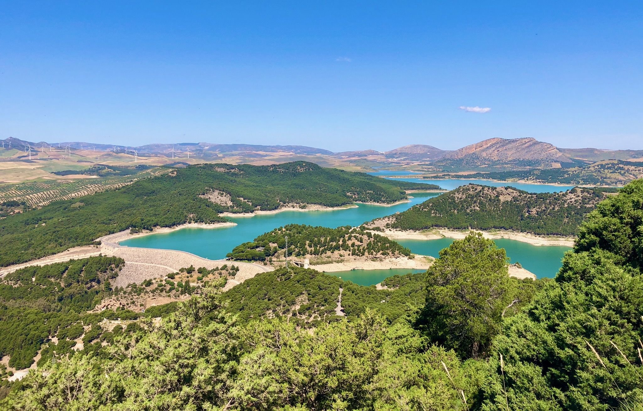
Seven days walking along the Gran Senda de Málaga (GR 249)
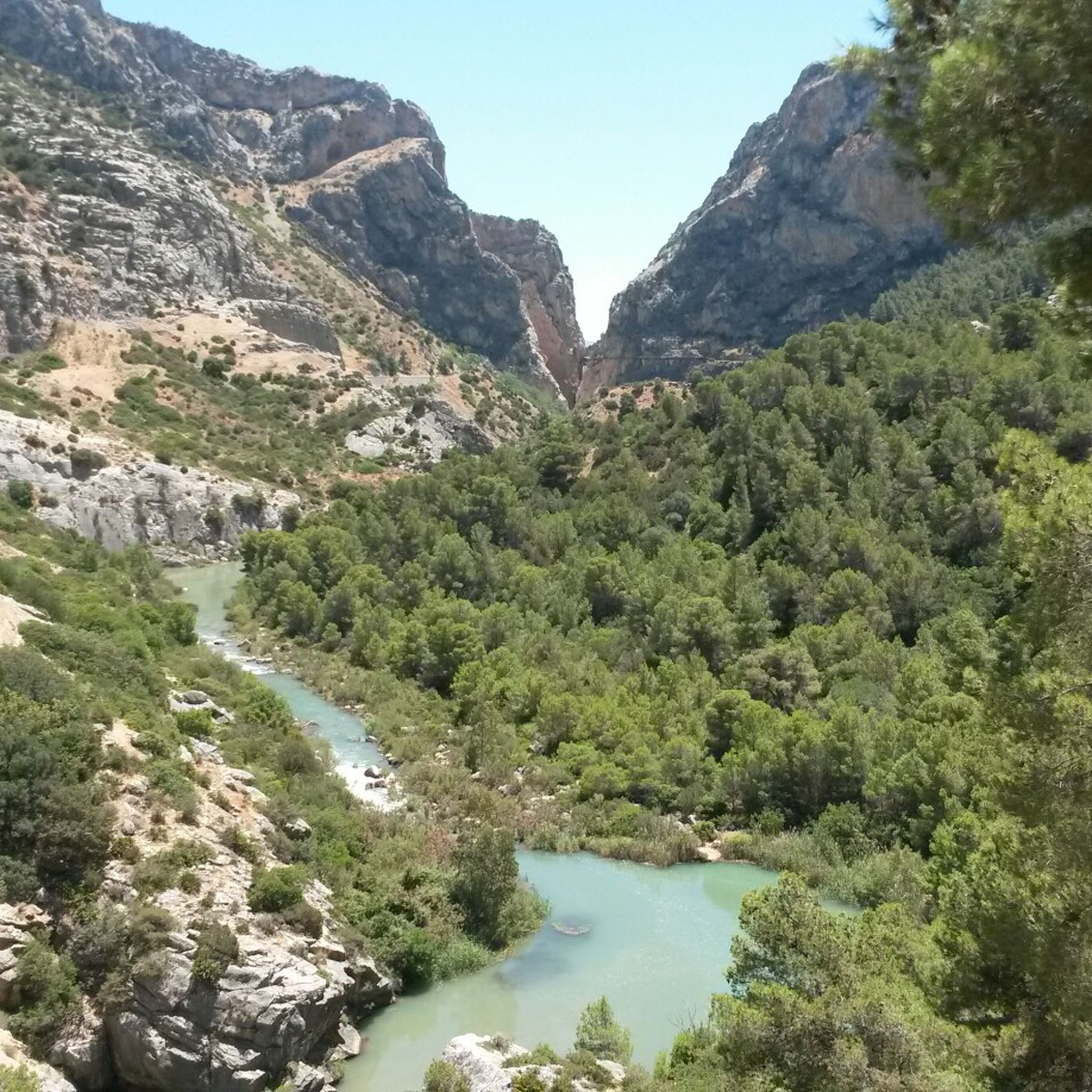
Hiking in Desfiladero De Los Gaitanes
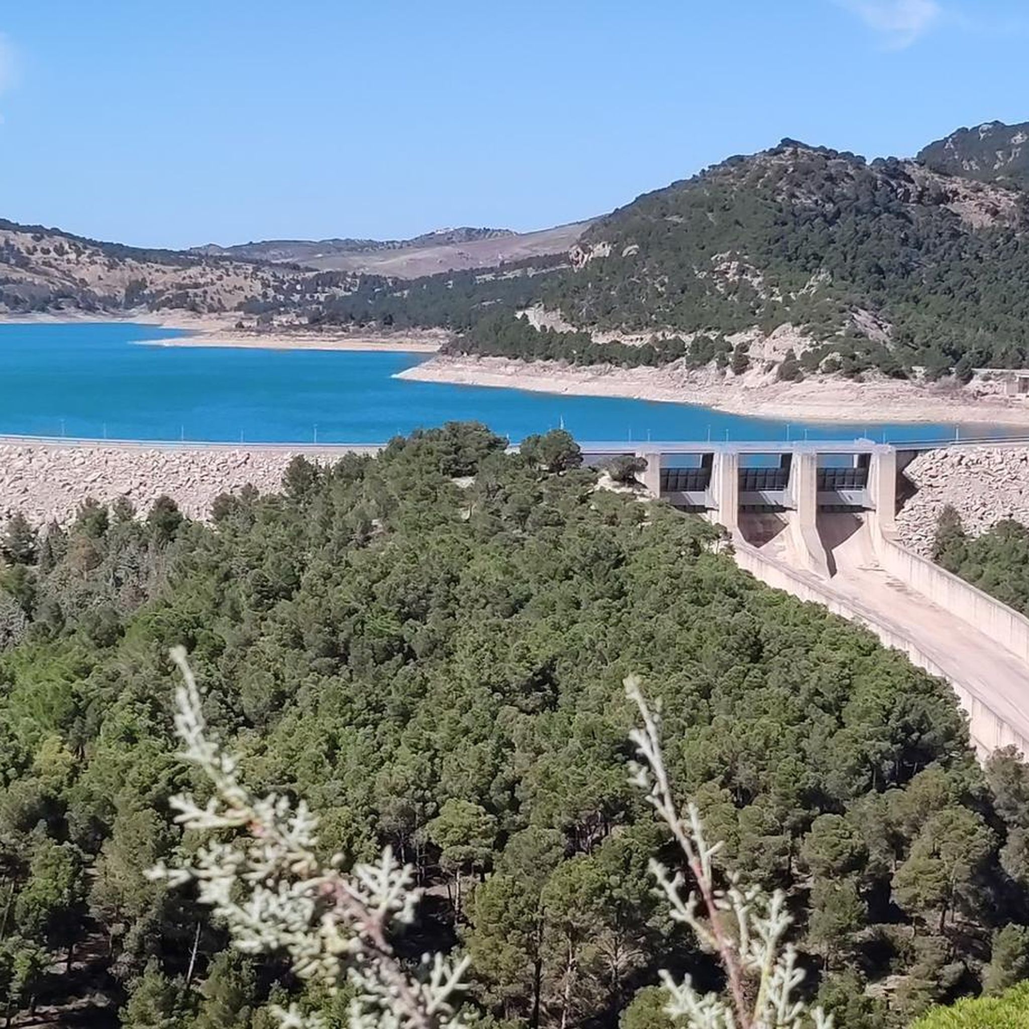
Cycling in Desfiladero De Los Gaitanes
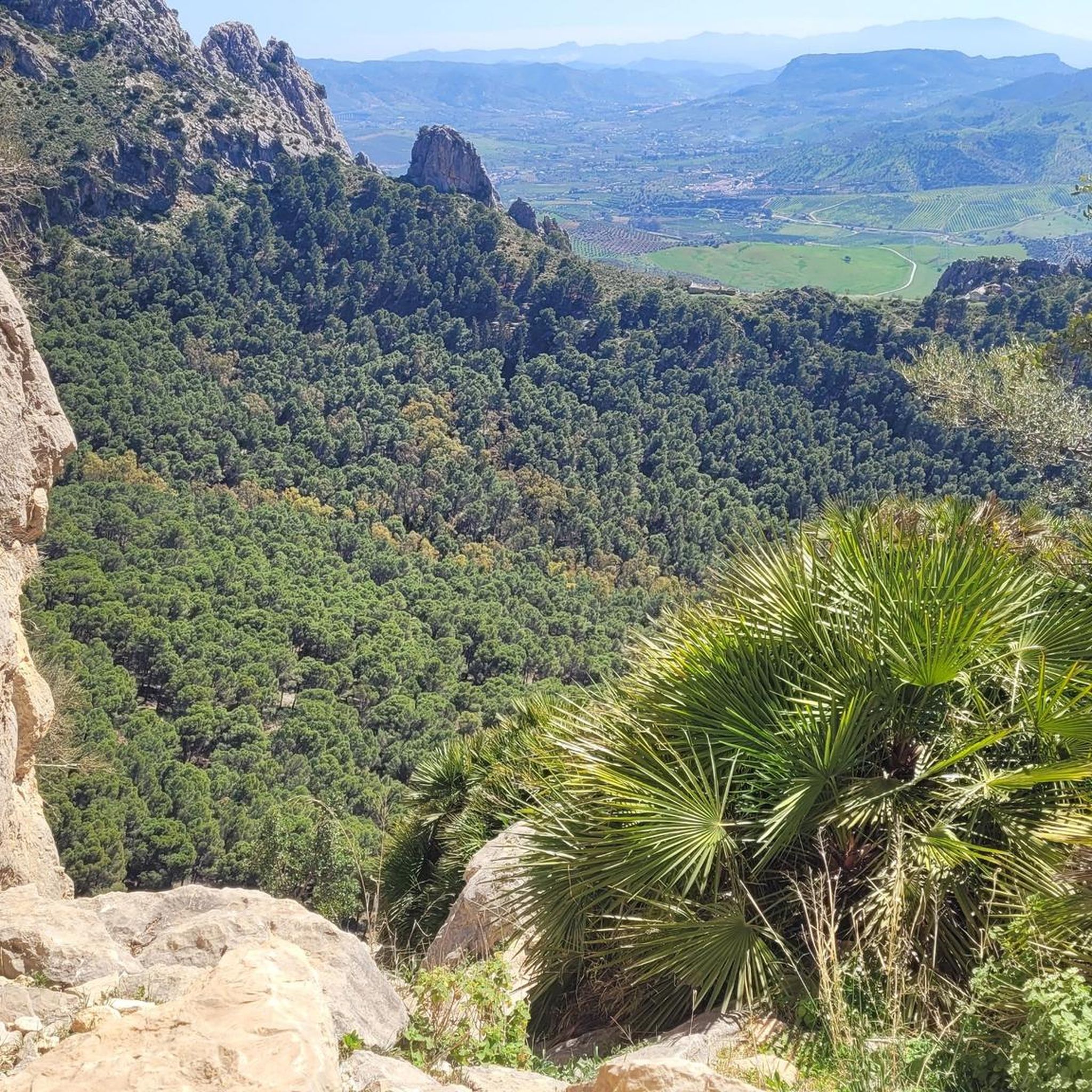
Road Cycling Routes in Desfiladero De Los Gaitanes
Running Trails in Desfiladero De Los Gaitanes

Gravel biking in Desfiladero De Los Gaitanes
Other adventures in Desfiladero De Los Gaitanes


Tips from the Community

Well-lit tunnel as a shortcut to the start of the Caminito del Rey. A bit low for people 1.90m and taller, otherwise another highlight around the Caminito del Rey. The tunnel is approx. 500m long and you can see the end of the tunnel right from the beginning.
4
0

Don't miss the view down towards Caminito del Rey!
0
0
You can cycle right up to the viewpoint, it's worth it! ;)
1
0
The descent is very technical but really fun (S2)!
0
0

Arabian Stairs: The name is misleading. The stairs are not historical, but probably no more than 100 years old, and serve to avoid a massive detour over the later saddle. They were presumably built to facilitate other projects in the region behind the mountain. A local guide reported that the pine forests at the beginning of the tour used to be villages. You can see ruins and threshing floors. During the Franco dictatorship, the villages were destroyed, the inhabitants relocated, and the pines were planted to prevent their return (formerly grain fields): subsistence farmers were difficult to control, and workers were needed for industry.
2
0

It is the beginning of the gorge
0
0
It's amazing what has been created here
0
1
Frequently Asked Questions
What are the typical difficulty levels for mountain biking in Desfiladero de los Gaitanes?
Desfiladero de los Gaitanes offers a range of mountain biking experiences. You'll find trails suitable for various skill levels, from moderate rides to more challenging excursions. There are 14 moderate routes and 10 difficult routes available, ensuring options for both intermediate and experienced riders.
Are there any beginner-friendly mountain bike trails in the region?
Yes, while many trails are moderate to difficult, there are 2 easy mountain bike routes available in Desfiladero de los Gaitanes. These provide a good starting point for those new to mountain biking or looking for a more relaxed ride through the stunning scenery.
What kind of terrain can I expect on the mountain bike trails?
The terrain in Desfiladero de los Gaitanes is rugged and varied, characterized by a dramatic limestone gorge carved by the Guadalhorce River. You'll encounter forest tracks and gravel paths that wind through cliffs, past lakes, and through forests. The region features significant elevation changes, offering a dynamic riding experience with towering rock walls and deep canyons.
What natural features and landmarks can I see along the mountain bike trails?
Mountain biking in Desfiladero de los Gaitanes offers breathtaking views of its unique geological formations. You can expect to see the spectacular limestone gorge, towering cliff walls, and the Guadalhorce River. Many routes pass near the famous Caminito del Rey, reservoirs like the Gaitanejo Reservoir Dam, and various caves such as Túnel de los Tafonis.
Are there any circular mountain bike routes available?
Yes, many of the mountain bike trails in Desfiladero de los Gaitanes are designed as loops, allowing you to start and finish at the same point. For example, the Tajo de la Encantada Dam – Caminito del Rey loop from El Chorro-Caminito del Rey is a popular moderate route that offers scenic views.
How long do mountain bike trails typically take to complete?
Trail durations vary depending on the route's length and difficulty. For instance, the moderate Three Reservoirs Viewpoint – Caminito del Rey loop from Río Turón is approximately 47 km and takes around 3 hours 20 minutes. Shorter routes, like the Downhill Trail Near El Chorro loop from Parking Ardales (13.1 km), can be completed in about 1 hour 12 minutes.
What do other mountain bikers enjoy most about the trails in Desfiladero de los Gaitanes?
The mountain bike trails in Desfiladero de los Gaitanes are highly rated by the komoot community, with an average score of 4.6 stars from over 50 reviews. Riders frequently praise the dramatic scenery, including the towering rock walls, deep canyons, and expansive views, which enhance the riding experience.
What is the best time of year for mountain biking in Desfiladero de los Gaitanes?
The region generally offers good conditions for mountain biking for much of the year. However, spring and autumn are often ideal, providing pleasant temperatures and lush landscapes. Summers can be very hot, so early morning or late afternoon rides are recommended during those months.
Is there public transport access to the mountain bike trails?
While specific public transport routes directly to all trailheads might be limited, the area around El Chorro, a common starting point for many routes, is accessible. It's advisable to check local bus or train schedules to El Chorro or nearby towns like Ardales, and then plan for a short ride or transfer to your desired starting point.
Are there any particularly challenging mountain bike routes for advanced riders?
Yes, Desfiladero de los Gaitanes offers 10 difficult routes for experienced mountain bikers seeking a challenge. An example is the longer Tajo de la Encantada Dam – Caminito del Rey loop from El Chorro-Caminito del Rey, which covers 43.6 km with significant elevation gains, providing a demanding ride.
Can I find less crowded mountain bike trails in Desfiladero de los Gaitanes?
While popular spots like those near Caminito del Rey can see more visitors, the extensive network of 26 mountain bike trails means you can often find quieter routes. Exploring trails slightly further afield or during off-peak hours can lead to a more solitary riding experience amidst the dramatic landscapes.
Most popular routes in Desfiladero De Los Gaitanes
Most popular attractions in Desfiladero De Los Gaitanes

Get inspired with the komoot mobile app


Explore more
Browse the best MTB trails in other regions.
