The best walks and hikes in Desfiladero De Los Gaitanes
4.5
(2396)
21,567
hikers
57
hikes
Hiking trails in Desfiladero De Los Gaitanes are defined by a dramatic gorge carved by the Guadalhorce River, featuring towering limestone walls that reach hundreds of meters in height. The landscape is characterized by its unique geological formations, including Jurassic limestones and karst relief. This natural park offers a diverse terrain for outdoor activities.
Best hiking trails in Desfiladero De Los Gaitanes
- The most popular hiking route is Caminito del Rey from El Chorro, a 5.4 miles (8.6 km)…
Last updated: October 24, 2026
4.9
(1052)
13,757
hikers
8.65km
04:03
620m
620m
Hard hike. Good fitness required. Sure-footedness, sturdy shoes and alpine experience required.
4.7
(61)
455
hikers
4.25km
01:15
90m
90m
Hike the difficult 2.6-mile Gaitanejo Trail in Desfiladero de los Gaitanes Natural Park, featuring reservoir views and geological formations

4.8
(218)
1,989
hikers
15.8km
05:23
560m
560m
Hard hike. Very good fitness required. Mostly accessible paths. Sure-footedness required.
4.7
(91)
266
hikers
Moderate hike. Good fitness required. Mostly accessible paths. Sure-footedness required.
4.5
(37)
169
hikers
Moderate hike. Good fitness required. Mostly accessible paths. Sure-footedness required.
Get access to more routes and recommendations from other explorers.
Already have an account?
Our route recommendations are based on thousands of hikes, rides, and runs completed by other people on komoot.
Start today with a free account
Your next adventure awaits.
Popular around Desfiladero De Los Gaitanes
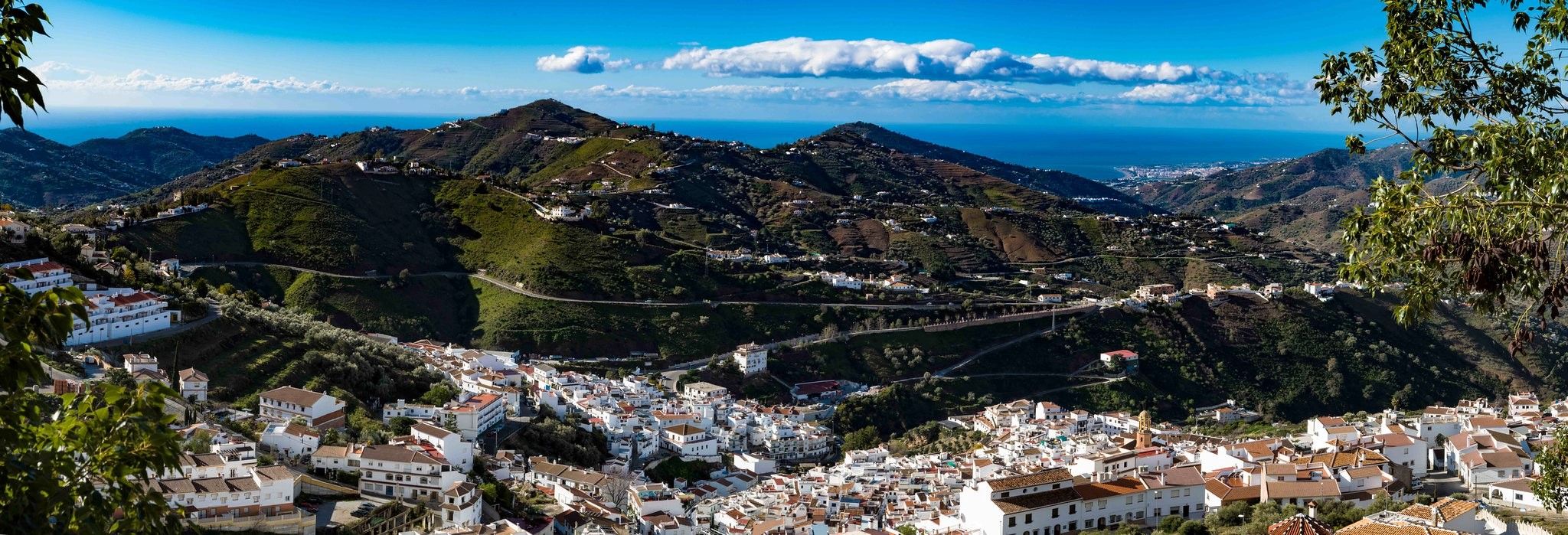
Hike between sea and mountains — Gran Senda de Málaga (GR 249)
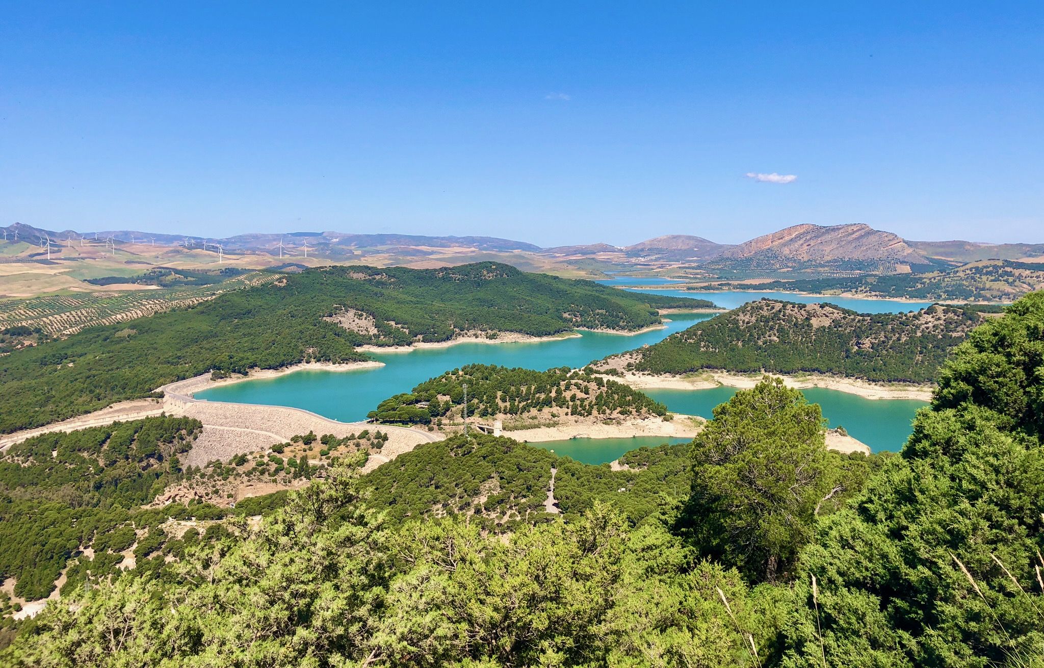
Seven days walking along the Gran Senda de Málaga (GR 249)
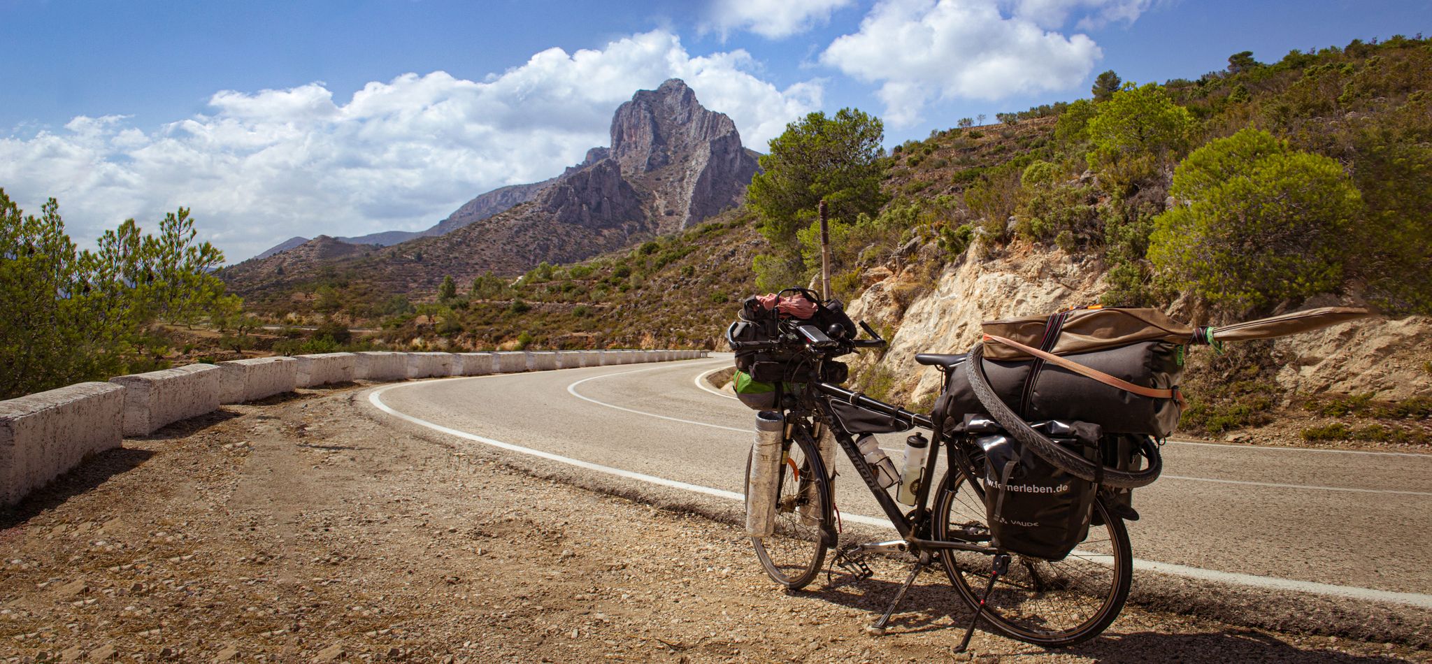
On the road to the sun — bikepacking to southeast Spain
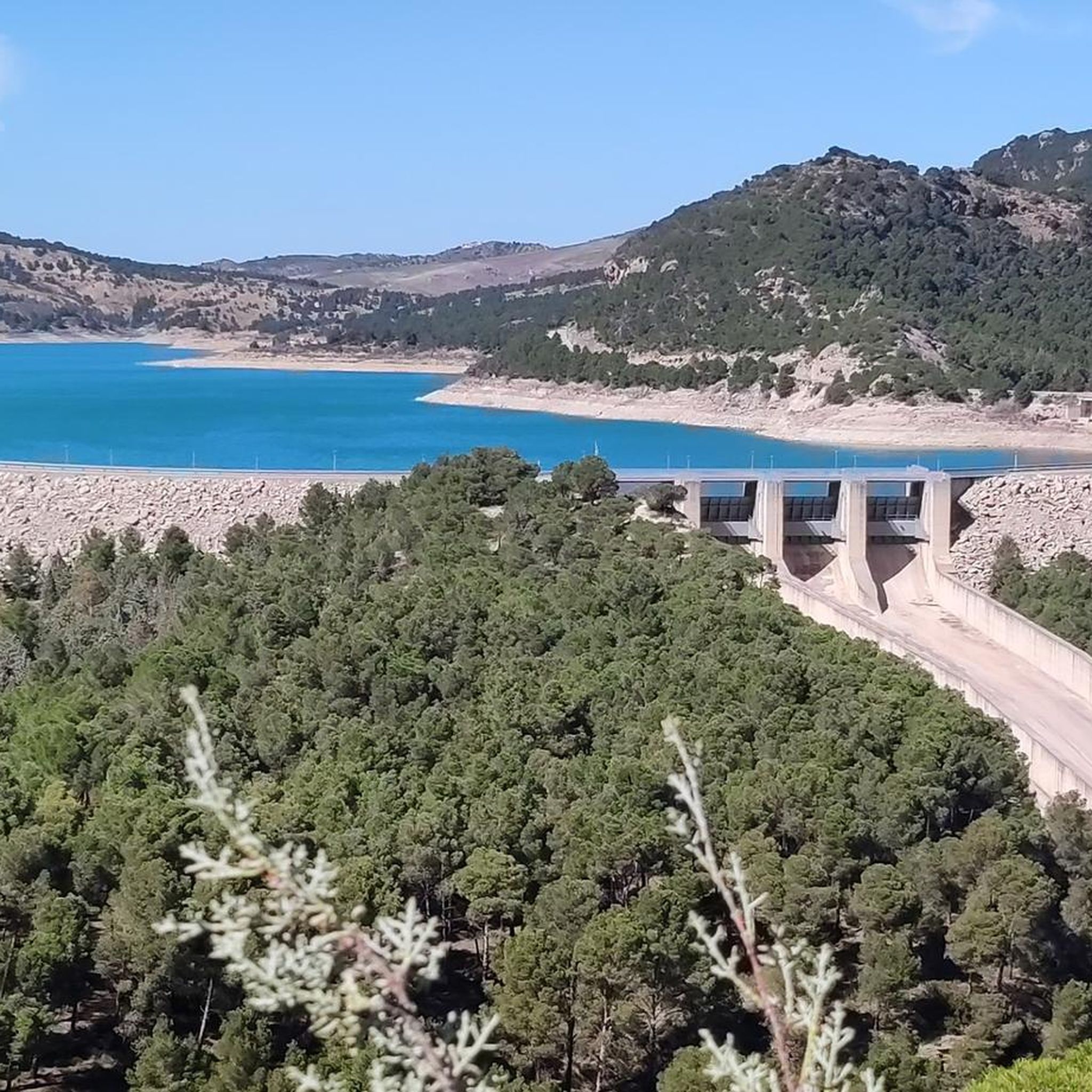
MTB Trails in Desfiladero De Los Gaitanes
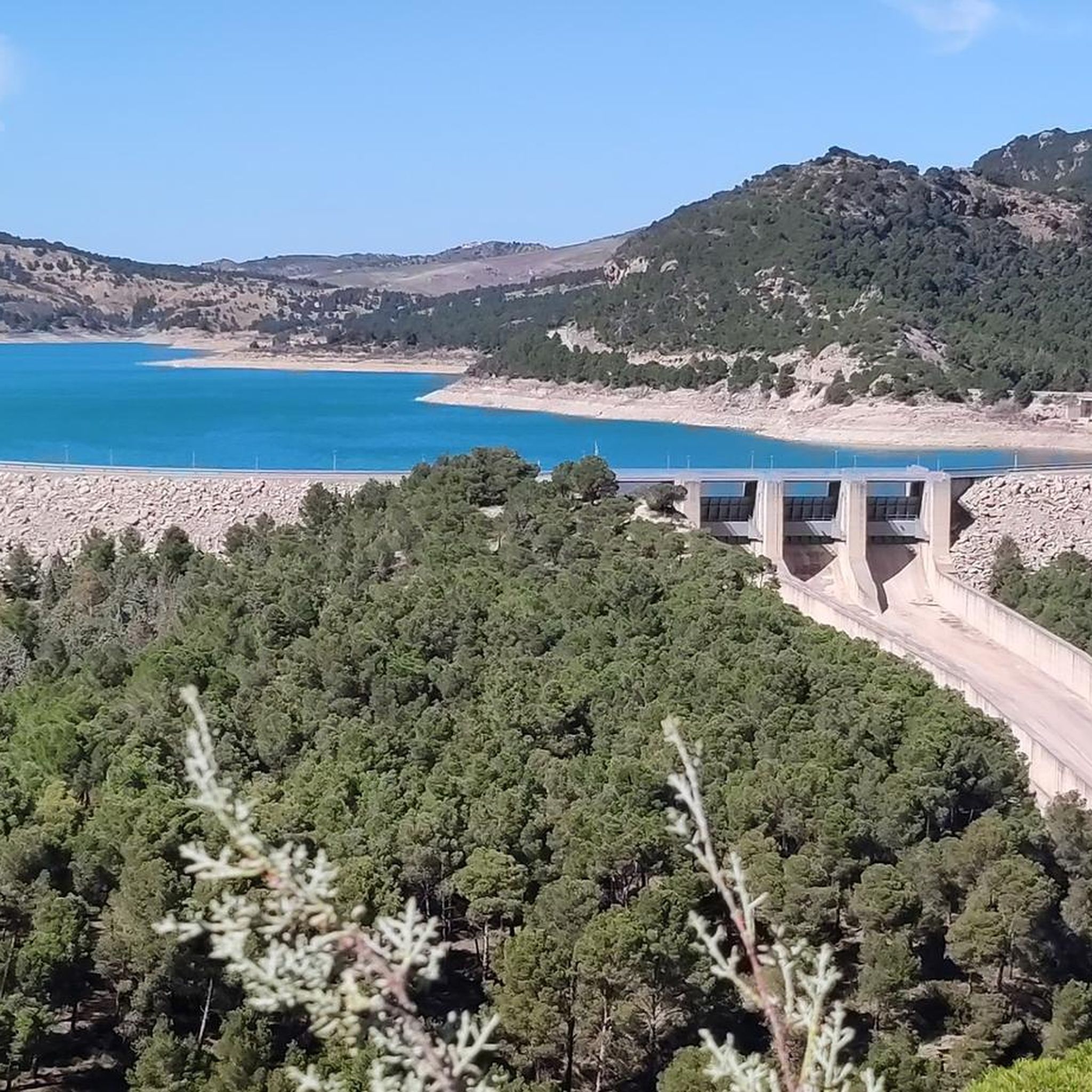
Cycling in Desfiladero De Los Gaitanes
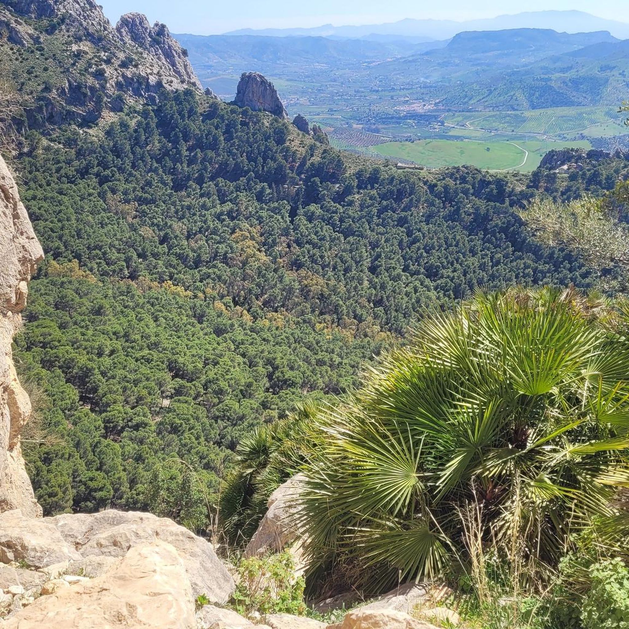
Road Cycling Routes in Desfiladero De Los Gaitanes
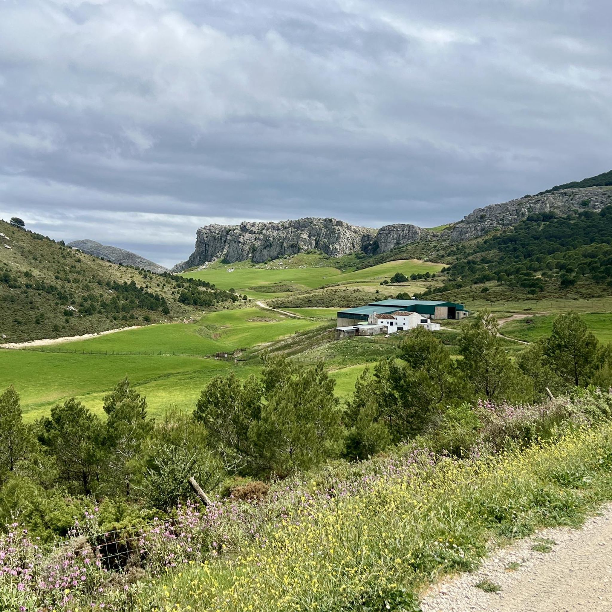
Running Trails in Desfiladero De Los Gaitanes

Gravel biking in Desfiladero De Los Gaitanes
Other adventures in Desfiladero De Los Gaitanes


Tips from the Community

Caminito del Rey is a breathtaking trail in Andalusia that runs high above the Guadalhorce river canyon. It offers an adrenaline-pumping experience, stunning views, and a safe passage through the rocks. Ideal for nature and adventure lovers. Children from 8 years old are allowed, the route is not suitable for people who suffer from fear of heights.
2
0
Caminito del Rey is a breathtaking trail in Andalusia that runs high above the Guadalhorce River canyon. It offers an adrenaline-pumping experience, magnificent views, and a safe passage through the rocks. Ideal for nature and adventure lovers. Children from 8 years old are allowed, the route is not suitable for people who suffer from fear of heights.
1
0
Caminito del Rey is a breathtaking trail in Andalusia that runs high above the Guadalhorce river canyon. It offers an adrenaline-pumping experience, magnificent views, and a safe passage through the rocks. Ideal for nature and adventure lovers. Children from 8 years old are allowed, the route is not suitable for people who suffer from fear of heights.
1
0

From the rocky summit slightly off the path, fascinating views of the meandering Guadalhorce River open up. The deeply incised river loop amidst the forest is impressive.
1
0

As you cross the suspension bridge made of steel cables and steel grating, which is just over 30m long, you must secure your helmet well, as the wind blows strongest here. Additionally, the bridge wobbles a bit.
4
1
The Balcon de Crystal is a small balcony with a transparent plexiglass floor. Therefore, a maximum of 4 people are allowed on the balcony at any one time.
4
0
It's quite amazing what efforts were made for this railway line. The supporting pillars are very nicely worked out.
5
0
In the second section of the Caminito del Rey, the valley opens up and you can see carob trees everywhere, which have spread here.
4
0
Frequently Asked Questions
How many hiking trails are available in Desfiladero De Los Gaitanes?
Desfiladero De Los Gaitanes offers a wide range of hiking experiences, with over 45 routes recorded on komoot. These include 10 easy, 32 moderate, and 6 difficult trails, catering to various skill levels.
What is the best time of year to go hiking in Desfiladero De Los Gaitanes?
The mild weather and lush vegetation in spring and autumn make these seasons ideal for visiting Desfiladero De Los Gaitanes. The dramatic gorge and its unique geological formations are particularly stunning during these times.
Are there any family-friendly hiking options in Desfiladero De Los Gaitanes?
While the famous Caminito del Rey has age restrictions, there are other trails in the wider Desfiladero De Los Gaitanes area that are suitable for families. Look for routes marked as 'easy' or 'moderate' on komoot, which often feature less challenging terrain and shorter distances. The park's diverse landscape offers plenty to explore for all ages.
Can I bring my dog on the hiking trails in Desfiladero De Los Gaitanes?
Dogs are generally not permitted on the Caminito del Rey trail itself due to safety and conservation regulations. For other trails within the broader Desfiladero De Los Gaitanes natural park, it's advisable to check specific trail rules or local signage, as regulations can vary. Always keep dogs on a leash and ensure they do not disturb wildlife.
What kind of terrain and elevation can I expect on hikes in Desfiladero De Los Gaitanes?
Hikes in Desfiladero De Los Gaitanes are characterized by dramatic gorges, towering limestone walls, and the Guadalhorce River. You can expect varied terrain, from suspended walkways on the Caminito del Rey to paths through pine forests and karst landscapes. Elevation changes can be significant, especially on more difficult routes like Caminito del Rey from El Chorro, which features over 600 meters of ascent and descent.
Are there any circular hiking routes in Desfiladero De Los Gaitanes?
Yes, there are several circular hiking routes available. For example, the Caminito del Rey – Caminito del Rey loop from Puerto de las Atalayas offers a longer, comprehensive experience of the gorge and surrounding areas. Other trails like View of the Mountains – Cave Houses of Sierra Parda loop from Parking Ardales also provide circular options with diverse scenery.
What natural features or landmarks can I see while hiking in the area?
Desfiladero De Los Gaitanes is rich in natural wonders. Beyond the famous Caminito del Rey, you can explore the impressive Desfiladero de los Gaitanes Gorge itself, with its towering limestone walls. Other notable features include the Balcon de cristal viewpoint, the Suspension Bridge over the Gaitanes Gorge, and fascinating geological formations like Túnel de los Tafonis and the Cave Houses of Sierra Parda.
Where can I park when visiting Desfiladero De Los Gaitanes for a hike?
Parking is available at various access points to the natural park. For routes like View of the Mountains – Cave Houses of Sierra Parda loop or Pico Convento loop, you can find parking near Ardales. For the Caminito del Rey, specific parking areas are designated near the northern and southern entrances, often requiring a shuttle bus to connect the start and end points.
Is public transport available to reach the hiking areas in Desfiladero De Los Gaitanes?
Yes, public transport options are available, particularly for accessing the Caminito del Rey. There are train services to El Chorro, which is a common starting or ending point for the Caminito. Additionally, shuttle buses operate between the northern and southern access points of the Caminito del Rey to facilitate the linear walk. It's recommended to check current schedules and routes in advance.
Do I need a permit to hike in Desfiladero De Los Gaitanes, especially for the Caminito del Rey?
Yes, a permit (ticket) is required to walk the Caminito del Rey. It is highly recommended to book your tickets well in advance, as access is controlled to ensure safety and preserve the natural environment. For other trails within the natural park, permits are generally not required, but always respect local regulations and signage.
What kind of wildlife might I encounter while hiking in Desfiladero De Los Gaitanes?
Desfiladero De Los Gaitanes is a biodiversity hotspot. You might spot various birds of prey, including griffon vultures, golden eagles, and peregrine falcons, making it excellent for birdwatching. Mammals such as mountain goats inhabit higher areas, while otters, foxes, and wild boar can be found throughout the park. Keep an eye out for the protected cliff-dwelling orchid, Rupicapnos Africana, in spring.
What do other hikers enjoy most about hiking in Desfiladero De Los Gaitanes?
The area is highly rated by the komoot community, with an average score of 4.3 stars from over 1500 reviews. Hikers frequently praise the dramatic and unique landscapes, the thrill of the Caminito del Rey, and the stunning panoramic views of the gorge. The diverse geological formations and rich biodiversity also contribute to a memorable outdoor experience.
Most popular routes in Desfiladero De Los Gaitanes
Most popular attractions in Desfiladero De Los Gaitanes

Get inspired with the komoot mobile app


Explore more
Browse the best Hikes in other regions.
