The best traffic-free bike rides around Urepel
4.8
(64)
2,677
riders
3
rides
No traffic road cycling routes around Urepel are situated in the Aldudes Valley, within the French Pyrenees, offering varied elevations from 420 meters in the village to 750 meters on surrounding slopes. The region is characterized by mountainous terrain, dense forests, and deep valleys, with significant natural features including its border with Spain and numerous mountain passes. These routes provide access to the eastern French Pyrenees, known for challenging climbs and scenic landscapes.
Best no traffic road cycling routes around…
Last updated: August 21, 2026
4.0
(1)
5
riders
46.8km
03:14
1,250m
1,250m
Hard road ride. Very good fitness required. Some segments of this route may be unpaved and difficult to ride.
5.0
(1)
69
riders
97.6km
05:18
1,790m
1,790m
Hard road ride. Very good fitness required. Mostly well-paved surfaces and easy to ride.
Our route recommendations are based on thousands of hikes, rides, and runs completed by other people on komoot.
Start today with a free account
Your next adventure awaits.
Login or Signup
Popular around Urepel
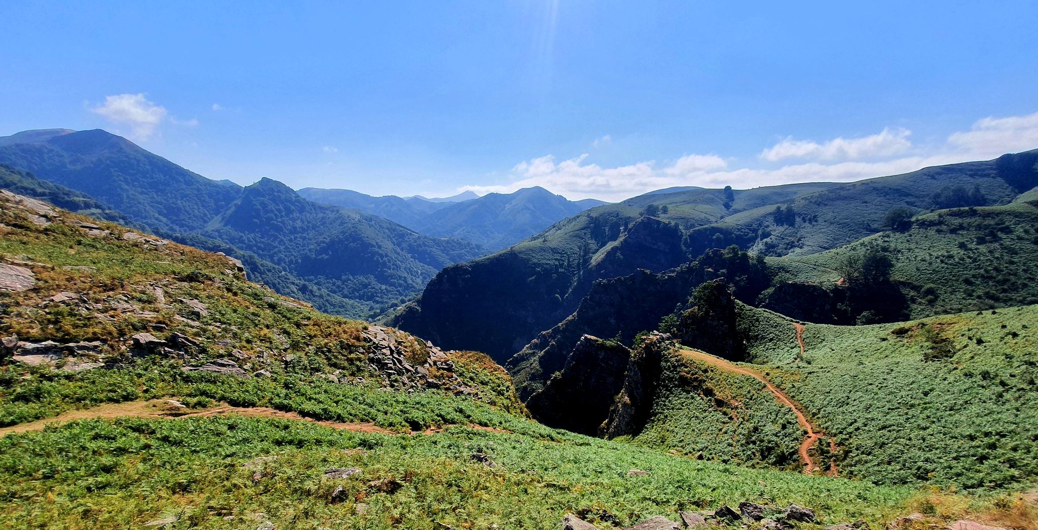
A land rich in character – running in the Basque Country

Haute Route Pyrénéenne – Pyrenees Crossing
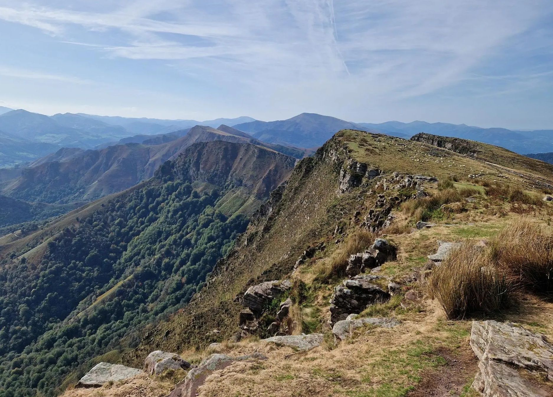
Peace and authenticity – trail running in the Baigorri and Aldudes valley
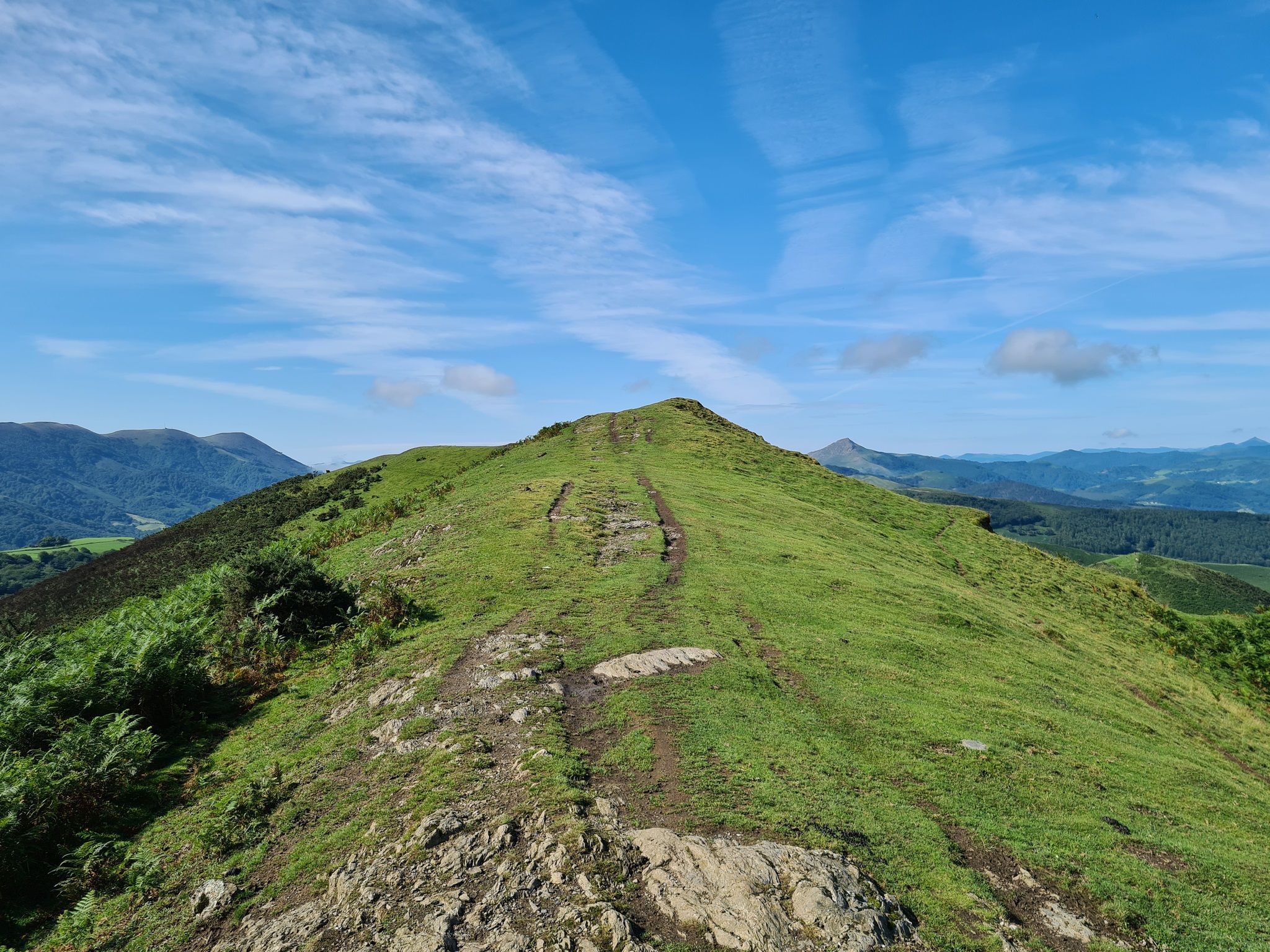
The Pyrenees to Biscay — La Grande Traversée MTB du Pays Basque
Traffic-free bike rides around Urepel

Traffic-free bike rides around Urepel
Other adventures around Urepel


Tips from the Community

One of the most beautiful `villages in Navarra with its stone houses, cobbled streets, and medieval bridges. It is a village that due to its location we can consider as the gateway to explore the Selva de Irati.
0
0

Les Aldudes is a very nice, remote little village tucked away in the Basque hills. It is a beautiful spot with a fiercely strong Basque identity, in fact, a waitress at the local bar quickly made it clear that speaking Spanish was out of the question, and that English was much preferred! For hikers and backpackers, the local community has set up some fantastic, welcoming facilities: Free Camping: Just behind the gas station, there is an open clearing that the town has officially designated as a free campsite. Showers & Restrooms: You can find very convenient toilets and showers located in the building right next to the church. Drinking Water: There is a reliable potable water fountain located in the main town square to easily refill your bottles. If you are tired of cooking your own trail rations, the village's single restaurant is very welcoming and the perfect place to sit down for a hot meal. It is an incredibly authentic and convenient stop along the trail!
1
0

The gas station shop is a full resupply if needed. They have ziplocks, toothbrushes, plenty of food, good cheeses and drinks. They have french canister fuel and are very friendly.
0
0

It is a very pleasant straight of slides... by car... because by bike you notice them in your legs.
0
0
One of the best discoveries this year. I was really looking forward to visiting this area of the Pyrenees, and it has clearly exceeded my expectations. In addition, it was a beautiful day, with sun and good temperature. I couldn't ask for more. Sorogain is a border crossing with 2 very different sides. The Spanish side is flat and enjoyable, crossing a beech forest, following the course of a stream and opening up the majestic valley in the final part, surrounded by horses and sheep. It is approximately 8km with an average gradient of 3%, with the last 2km being harder and with irregular slopes. The French side is also spectacular but much harder. It is also 8km but with an average gradient of 8% and peaks of 18%. There are several km with an average gradient of over 10%, and the final slope is 500m at 15%!!! The views of the Urepel valley are wonderful. The road on both sides is in perfect condition, although it is very narrow and you have to be careful with the few cars there are.
0
0
The Puerto de Laza is a small and beautiful hill that joins the valleys of Roncal (starting from Isaba) and Salazar (starting from Ochagavía) in the Navarrese Pyrenees. Both sides are very similar: a very easy start on a winding road, in perfect condition but without a hard shoulder, passing through small towns and going up the course of the respective rivers Anduña (Salazar valley) and Urbi (Roncal valley); a final stretch of 2 - 3 kms that is harder without being too much so, although there are some slopes above 10%. The Salazar valley side becomes harder when leaving behind the detour to the Larrau port. From here to the port there are 3 km with an average gradient of 7%. On the other hand, the Roncal valley side becomes harder when overcoming a bridge over the river that has been with us since we left Isaba behind. From here it is barely 2 km with an average gradient of 7%. From a landscape perspective, it is a port that I love because you can enjoy the exuberance of the vegetation of the Pyrenees, crossing narrow valleys and only with panoramic views when you reach the top, where there is a viewing point that is worth looking out at. A port that I always recommend for enjoying cycle tourism. I leave you the profile of both sides produced by the website www.cyclingcols.com --> http://www.cyclingcols.com/col/Laza
0
1

There is also a camping area where HRP hikers can stay overnight for free. The small restaurant on the road is also recommended.
2
1

There is a small corner shop at the gas station where you can buy groceries. Highly recommended.
1
1
Frequently Asked Questions
How many no-traffic road cycling routes are available around Urepel?
There are 3 dedicated no-traffic road cycling routes around Urepel featured in this guide. These routes are carefully selected to offer a serene cycling experience away from heavy vehicle traffic, allowing you to fully immerse yourself in the Pyrenean landscape.
What is the typical difficulty level for no-traffic road cycling routes in Urepel?
The no-traffic road cycling routes around Urepel range from moderate to difficult. You'll find 1 moderate route and 2 difficult routes. The mountainous terrain of the French Pyrenees means most rides involve significant climbs, making them ideal for cyclists seeking a challenge.
Are there challenging no-traffic road cycling routes with significant climbs?
Yes, Urepel's location in the Pyrenees offers routes with substantial elevation gain. For instance, the Ochagavía – Laza Pass (1,129 m) loop from Aurizberri is a difficult route with over 1790 meters of ascent, taking you through high mountain passes. The region is known for its twisting climbs and passes like Ispéguy and Ibañeta, which are famous among cyclists.
What natural features or landmarks can I expect to see on these no-traffic road cycling routes?
While cycling around Urepel, you'll encounter stunning natural scenery including mountains, forests, and valleys. Notable natural features and landmarks in the wider area include the Roland Fountain, the Munhoa Summit, and the picturesque Xorroxin Waterfall. These routes often provide panoramic views, especially from higher elevations.
Are there any circular no-traffic road cycling routes in the Urepel area?
Yes, all the no-traffic road cycling routes featured in this guide are circular. This allows you to start and finish your ride in the same location without needing to arrange transport back. An example is the Aurizberri/Espinal – Urrobi Reservoir loop from Aurizberri, which offers a complete loop experience.
What do other road cyclists enjoy most about no-traffic road cycling in Urepel?
The no-traffic road cycling routes around Urepel are highly rated by the komoot community, with an average score of 4.87 stars. Reviewers often praise the challenging climbs, the breathtaking Pyrenean views, and the tranquility of cycling on roads with minimal vehicle traffic, allowing for a truly immersive experience in nature.
Is it possible to find family-friendly no-traffic road cycling routes in Urepel?
Given the mountainous terrain and the difficulty ratings of the routes (moderate to difficult), most no-traffic road cycling routes around Urepel are better suited for experienced cyclists. While the 'no traffic' aspect is family-friendly, the significant elevation changes might be challenging for younger children or those new to road cycling. Consider the Aurizberri/Espinal – Urrobi Reservoir loop from Aurizberri as a moderate option, but assess your family's fitness level carefully.
What is the best time of year for no-traffic road cycling in Urepel?
The best time for road cycling in Urepel is generally from spring through autumn. During these seasons, the weather is more stable, and mountain passes are typically clear of snow. Summer offers warmer temperatures, while spring and autumn provide pleasant conditions with vibrant foliage. Winter can bring snow and ice, making many routes impassable or hazardous.
Are there any cafes or pubs near the no-traffic road cycling routes in Urepel?
Urepel and the surrounding traditional villages in the Aldudes Valley offer opportunities to refuel. While specific cafes directly on the no-traffic routes are not listed, you can often find local establishments in villages like Urepel itself or nearby Aldudes. These places provide a chance to experience local Basque cuisine and hospitality, including artisanal cheese and other regional delights.
Where can I park when planning a no-traffic road cycling trip in Urepel?
Parking is generally available in the village of Urepel and other starting points for routes in the region, such as Aurizberri (Espinal). As these are smaller villages, you can usually find public parking areas. It's always advisable to check local signage for any restrictions or designated parking zones.
Can I reach the starting points of these no-traffic road cycling routes by public transport?
Public transport options in the mountainous Pyrenean region around Urepel can be limited. While some larger towns might have bus services, direct public transport to the specific starting points of these routes may not always be available. Planning for personal vehicle transport or checking local bus schedules for connections to Urepel or Aurizberri is recommended.
Are there any cross-border no-traffic road cycling routes from Urepel?
Urepel is located on the border with Spain, specifically the 'Pays Quint' or Kintoa territory, which offers unique cross-border routes. The Bizkarreta (SP) - Aldudes (FR) via Sorogain route is an excellent example, allowing you to cycle between France and Spain and experience the historic Navarrese reality and diverse landscapes.
Most popular attractions around Urepel

Get inspired with the komoot mobile app


Explore more
Browse the best Road cycling routes in other regions.
