The best gravel rides around Urepel
4.8
(5)
28
riders
5
rides
Gravel biking around Urepel offers diverse landscapes and challenging terrain in the heart of the Aldudes Valley, at the foothills of the Pyrenees. The region features a mix of quiet roads, access roads, and paths, providing varied surfaces for gravel cyclists. Routes often involve significant elevation changes, traversing green valleys, beech forests, and expansive pastures. This area provides access to the Franco-Spanish border region, characterized by its mountainous environment.
Best gravel bike trails around Urepel
- The most popular gravel bike…
Last updated: October 11, 2026
4.0
(1)
13
riders
37.3km
02:31
680m
680m
Hard gravel ride. Very good fitness required. Mostly paved surfaces. Suitable for all skill levels.
5.0
(1)
7
riders
60.4km
04:30
1,380m
1,380m
Hard gravel ride. Very good fitness required. Mostly paved surfaces. Suitable for all skill levels.

5.0
(2)
2
riders
33.6km
02:42
940m
940m
Hard gravel ride. Very good fitness required. You may need to push your bike for some segments of this route.
5.0
(1)
5
riders
40.8km
02:49
720m
720m
Hard gravel ride. Very good fitness required. Mostly paved surfaces. Suitable for all skill levels.
1
riders
21.1km
01:31
240m
240m
Moderate gravel ride. Good fitness required. Mostly paved surfaces. Suitable for all skill levels.
Our route recommendations are based on thousands of hikes, rides, and runs completed by other people on komoot.
Start today with a free account
Your next adventure awaits.
Popular around Urepel
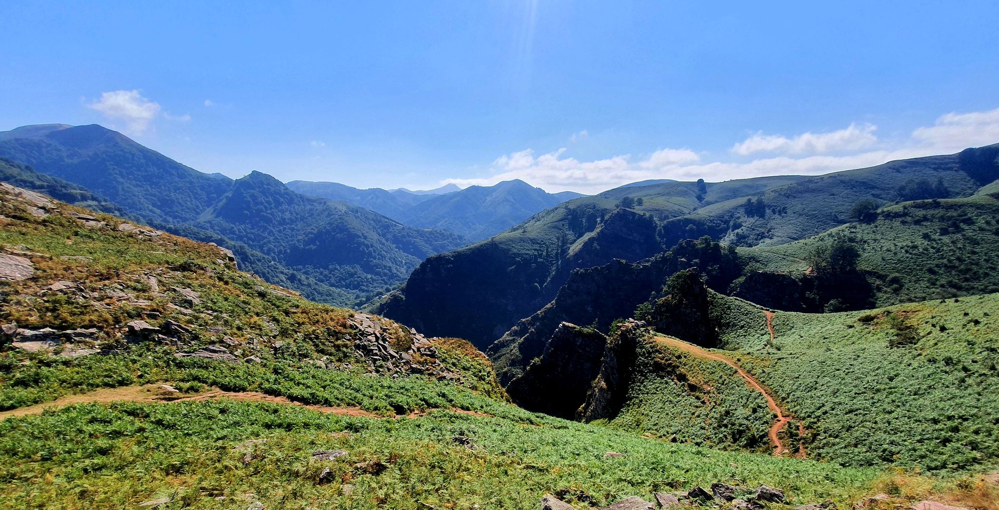
A land rich in character – running in the Basque Country

Haute Route Pyrénéenne – Pyrenees Crossing
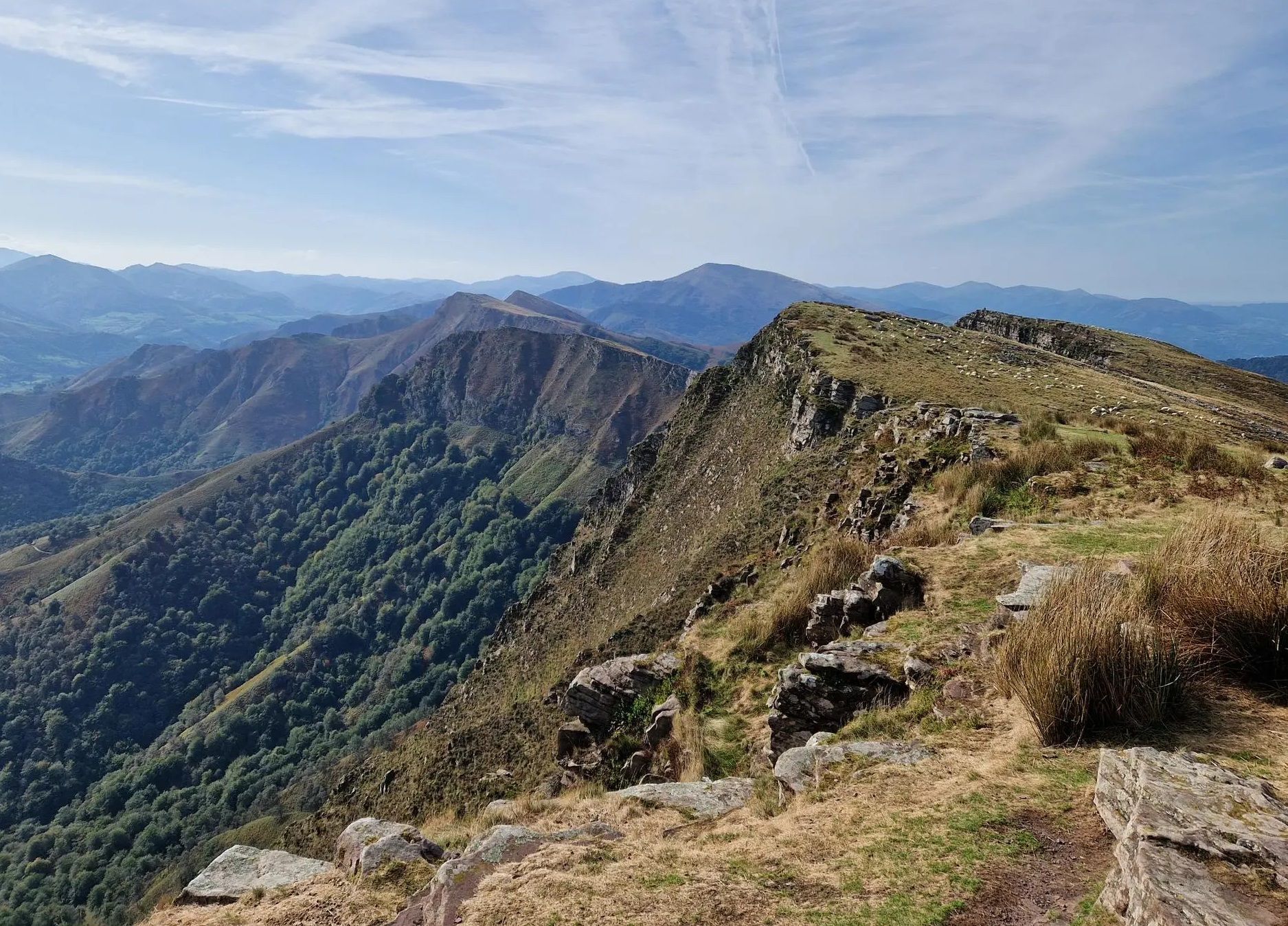
Peace and authenticity – trail running in the Baigorri and Aldudes valley
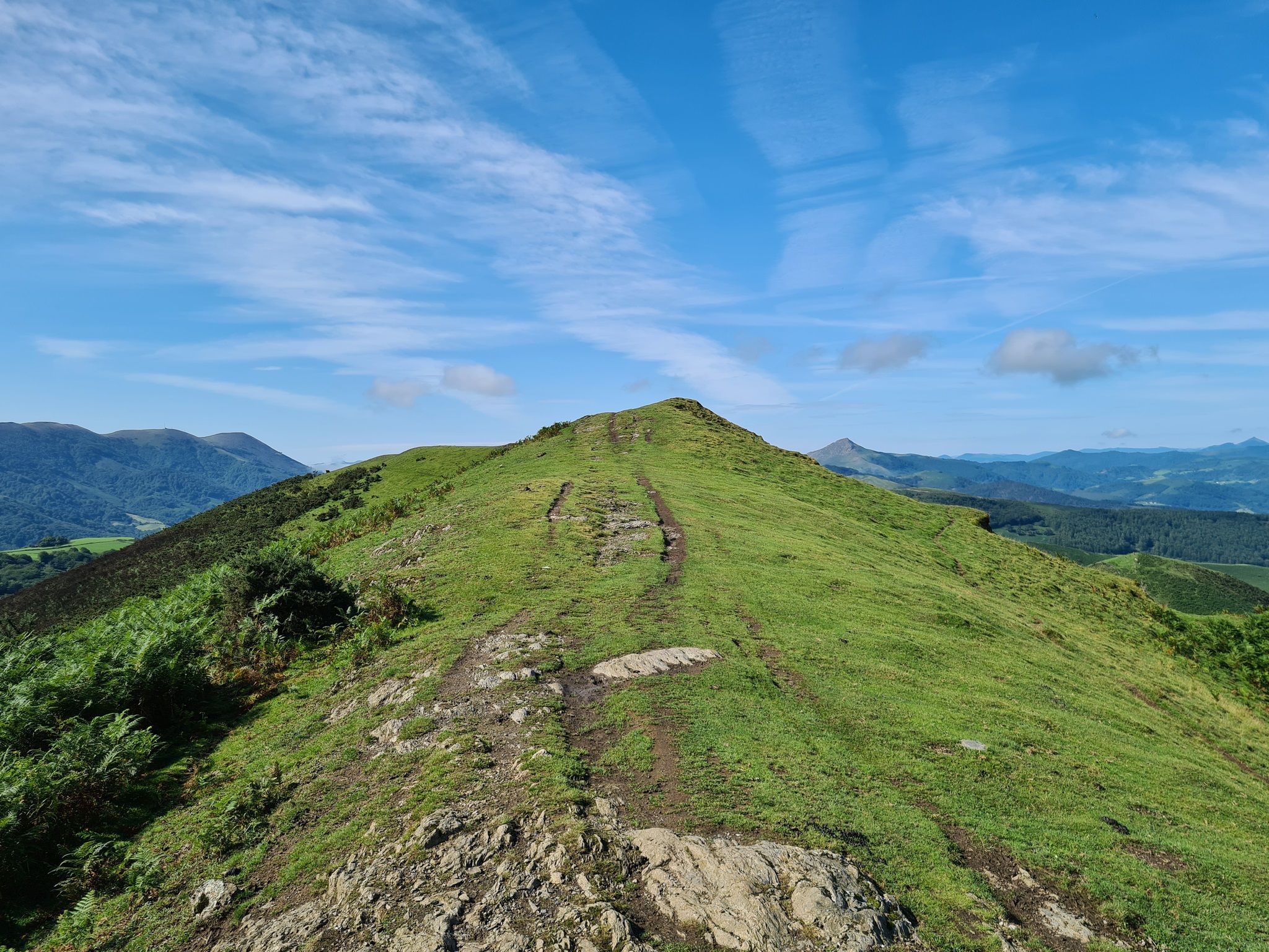
The Pyrenees to Biscay — La Grande Traversée MTB du Pays Basque
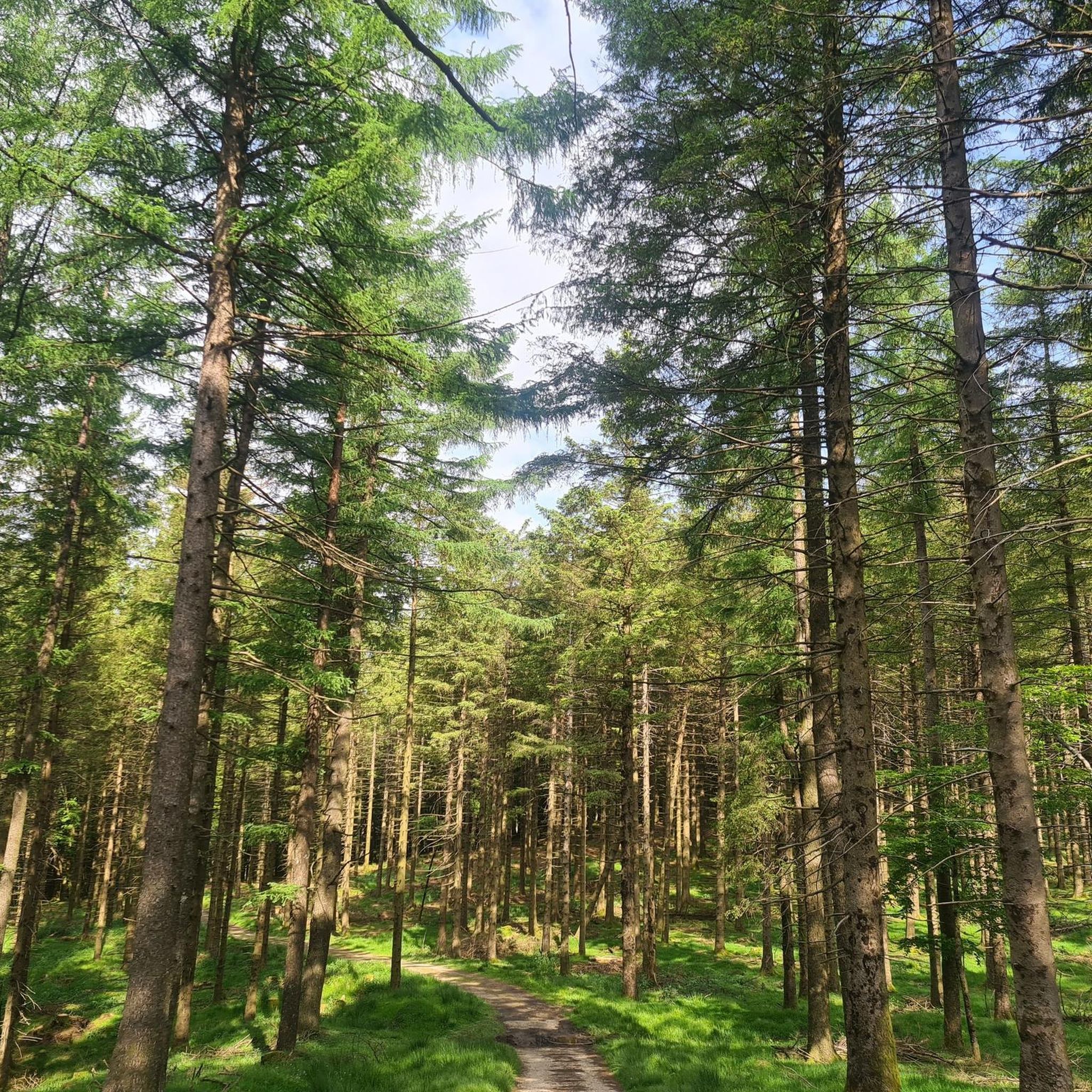
Running Trails around Urepel
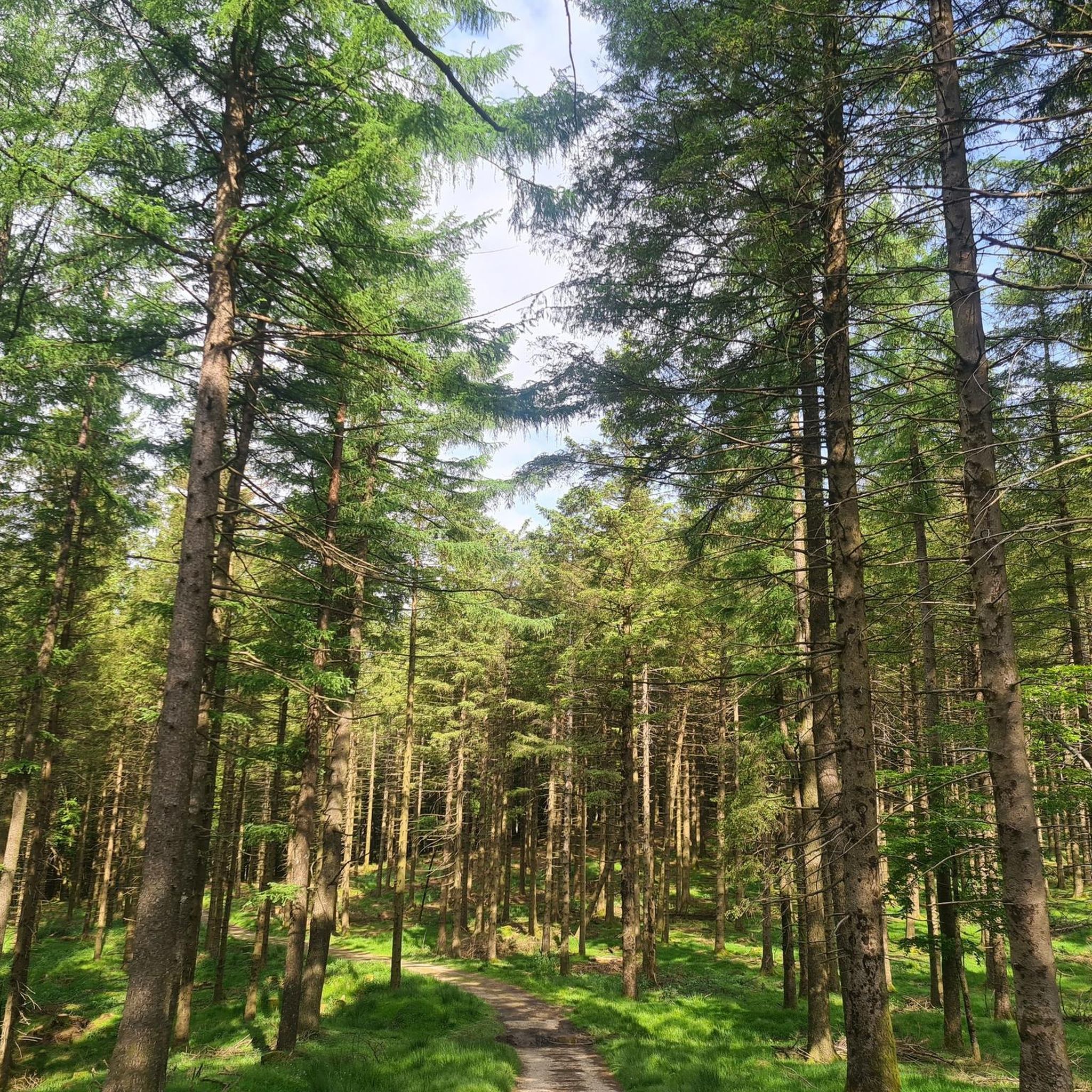
Road Cycling Routes around Urepel
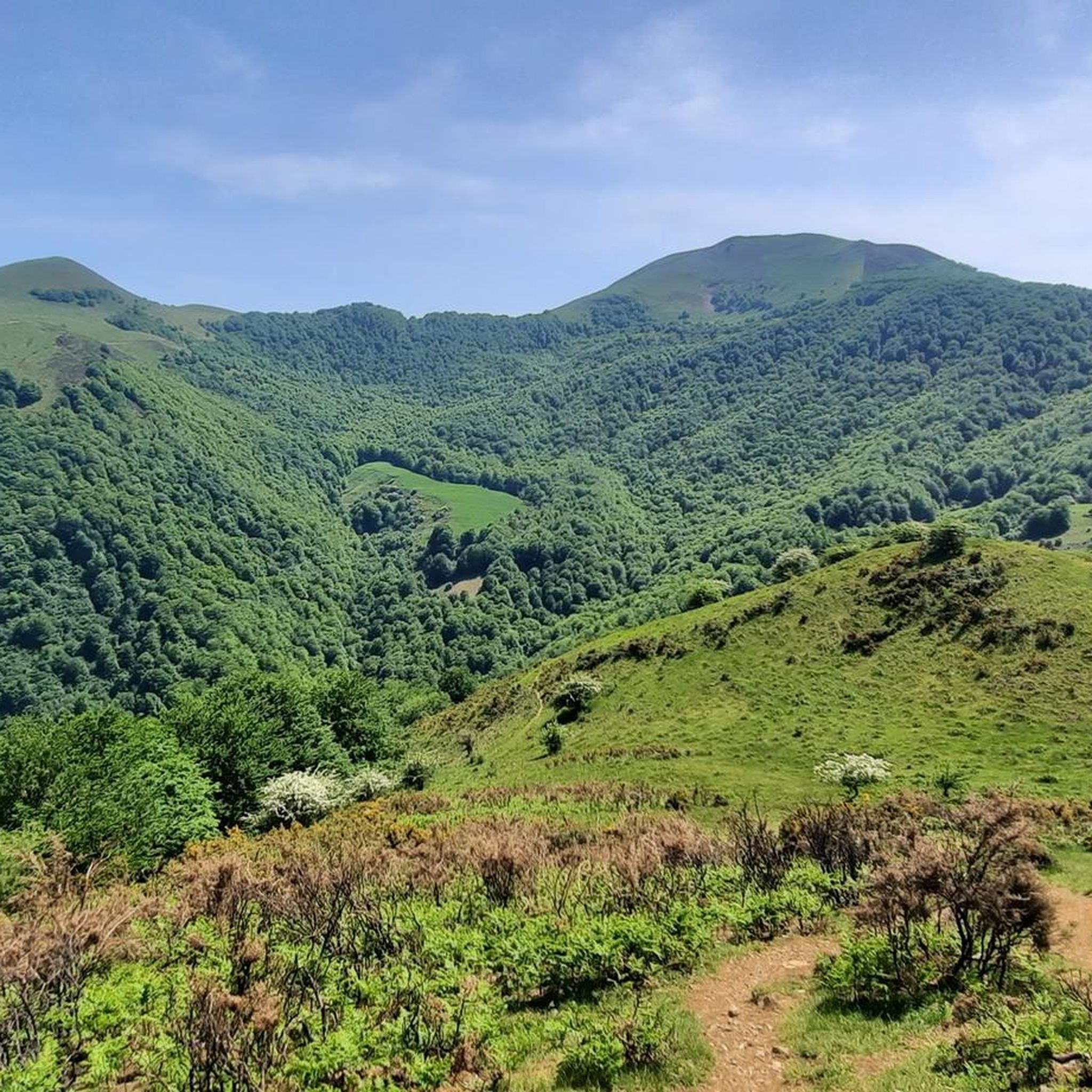
Cycling around Urepel
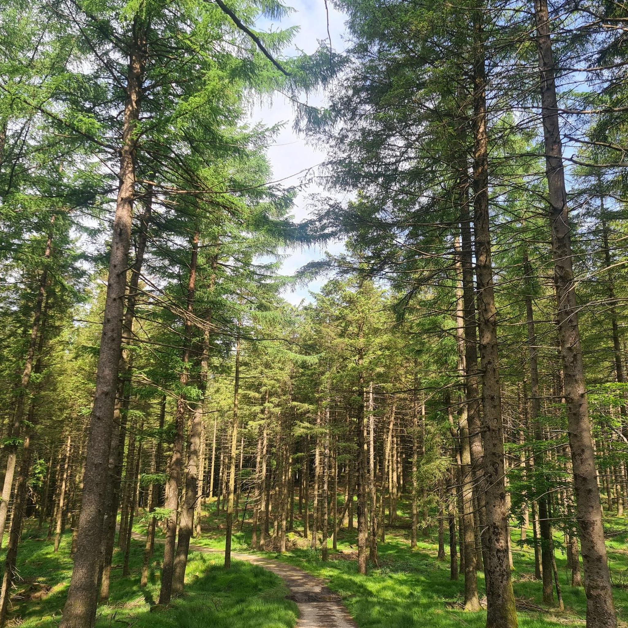
Hiking around Urepel
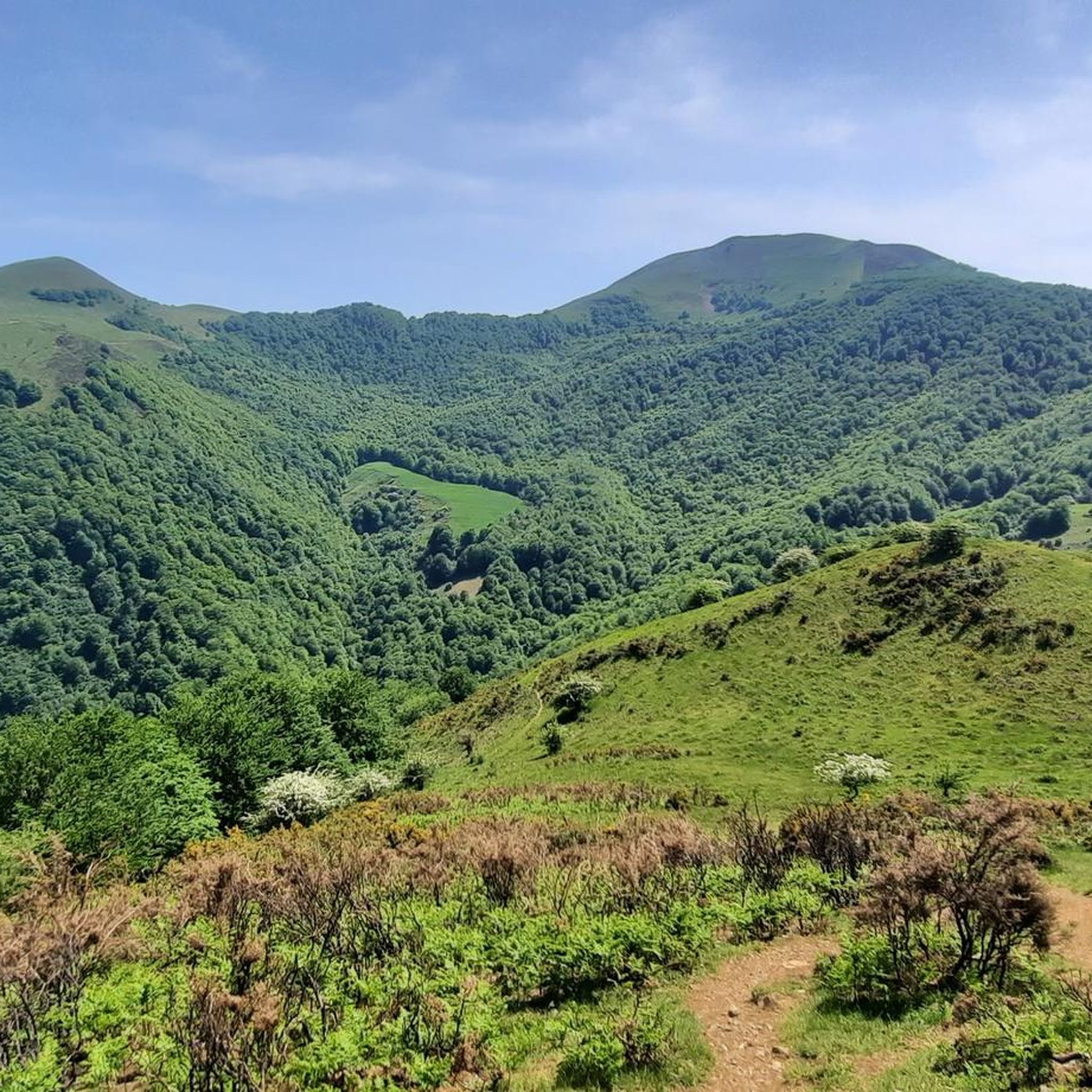
MTB Trails around Urepel
Other adventures around Urepel


Tips from the Community

Reaching Roncesvalles meant the luxury of sleeping in a real bed at the famous pilgrim hostel (albergue de peregrinos). Marking the end of the legendary first stage of the Camino Francés from Saint-Jean-Pied-de-Port into Spain, this impressive, well-organized facility is wonderfully run by Dutch volunteers. Since there is no grocery store in Roncesvalles itself, a necessary 5 km round-trip walk was required to stock up, loading down my backpack with enough supplies for 5 breakfasts, 7 lunches, and 5 dinners for the demanding days ahead.
2
0
At the foot of the Pyrenees on the Spanish side of the border, Roncesvalles is one of the most iconic and historic stops on the entire Camino de Santiago. Famous for its magnificent 13th-century Royal Colegiata of Saint Mary, this small hamlet has welcomed weary pilgrims and hikers for centuries after their demanding trek over the mountain pass from Saint-Jean-Pied-de-Port. Beyond its rich medieval history and legendary link to the Song of Roland, Roncesvalles offers essential comforts for travelers today, including pilgrim hostels, warm meals, and a deeply atmospheric sanctuary where you can rest, reflect, and prepare for the road ahead.
2
0

Orreaga-Roncesvalles preserves the memory of heroic songs, ancient paths, and exhausted pilgrims on the way to Compostela. Kings who built hospitals, churches, monasteries, and chapels, innkeepers for whom welcoming strangers was and is sacred, and the love for their Holy Virgin, their brotherhood, and their pilgrims and their many crosses. Since the 10th century, Roncesvalles has been a place where pilgrims on the Camino de Santiago to Santiago de Compostela can rest after their arduous ascent. Santa María de Roncesvalles is above all a place for spirituality and pilgrimage. Pilgrim masses, pilgrimages, Brotherhood of Nuestra Señora. At the 1057m high Puerto Roncesvalles pass, Augustinians founded the Colegiata de Roncesvalles abbey in 1130. As early as 778, a battle took place here between the Franks under Charlemagne and the Basques. The warrior Roland was killed, and the Song of Roland was created.
0
0

It's the first road sign indicating the distance to Santiago. It's worth a photo.
0
0

Even if you don't plan or have the ability to walk the entire Camino Frances, the stage that reaches Roncesvalles is a must for the beauty of the landscapes and the evocative atmosphere it offers, especially when—descending from the Ibañeta Pass—the boundless Spanish landscape suddenly opens up before your eyes in the golden light of sunset. It's a magical moment, ideally shared with other pilgrims and then enhanced with a visit to the Collegiate Church. The stamp on the Credencial is also beautiful.
1
0

Don't miss a visit to the Pilgrims' Hospital and the Collegiate Church of Santa María. Also, learn about the history of Roncesvalles, as it's very interesting.
0
0

Hemmingway loved this place.
0
0

Frequently Asked Questions
How many gravel bike trails are there in Urepel?
There are currently 4 gravel bike trails around Urepel available on komoot, all rated as difficult. These routes offer a challenging experience through the Pyrenean landscape.
What kind of terrain can I expect on gravel bike trails around Urepel?
Expect a varied mix of quiet roads, access roads, and paths. The terrain is characterized by the Pyrenean landscape, featuring green valleys, beech forests, and expansive pastures. Routes often involve significant elevation changes, offering a dynamic experience.
Are there challenging gravel bike routes in Urepel?
Yes, all the gravel bike routes listed for Urepel are rated as difficult. They feature significant elevation changes and challenging climbs, particularly towards mountain passes like those found on the Roncesvalles – Trail to Col de Bentarte loop from Orreaga / Roncesvalles.
What natural features or landmarks can I see along the gravel bike trails?
The trails offer breathtaking views of the Pyrenean mountain ranges, green valleys, and beech forests. You can also encounter notable mountain passes such as Ispéguy Pass and Ibañeta Pass, which is also known for the Roland Monument. The Forest Path Near Roncesvalles – Roncesvalles loop from Aurizberri explores the area near the historic Roncesvalles Pass, part of the Camino de Santiago.
What do other gravel bikers enjoy most about gravel biking in Urepel?
The area is highly rated by the komoot community, with an average score of 4.75 stars. Reviewers often praise the diverse landscapes, the challenging nature of the routes, and the opportunity to explore the Franco-Spanish border region through varied terrain.
Are there any circular gravel bike routes available?
Yes, all the featured gravel bike routes around Urepel are loops. Examples include the Forest Path Near Roncesvalles – Roncesvalles loop from Aurizberri and the Urrobi Valley – Foz de Iñarbe loop from Aurizberri, allowing you to start and finish in the same location.
What is the best time of year to go gravel biking in Urepel?
The Pyrenees region can experience significant weather variations. While specific seasonal advice isn't provided, generally, spring and autumn offer pleasant temperatures for cycling. Summer can be warm, especially at lower altitudes, while winter may bring snow to higher passes, making some routes inaccessible.
Are there any routes that pass through forests or pastures?
Yes, many routes traverse beautiful beech forests and expansive pastures. For instance, the Urrobi Valley – Foz de Iñarbe loop from Aurizberri leads through forests and pastures, offering a sense of wilderness and natural beauty.
What is the typical distance and duration for gravel bike routes in Urepel?
The gravel bike routes in Urepel typically range from approximately 20.9 miles (33.7 km) to 25.8 miles (41.6 km). Durations vary depending on the route and rider's pace, but generally take between 2 hours 49 minutes and 3 hours 33 minutes to complete.
Can I find historical sites or cultural attractions near the gravel trails?
Yes, the region is rich in history. The Roncesvalles Collegiate Church, an important pilgrimage station on the Way of St. James, is within cycling distance of some routes. The Forest Path Near Roncesvalles – Roncesvalles loop from Aurizberri explores this historic area.
Are there any long-distance cycling routes that pass through Urepel?
Urepel is a key point on several significant cycling itineraries. It serves as a stage on "La Grande Traversée VTT des Pyrénées," a long-distance mountain biking route that can often be adapted for gravel bikes. You can find more information about this route on tourisme64.com.
Most popular attractions around Urepel

Get inspired with the komoot mobile app


Explore more
Browse the best Gravel rides in other regions.
