The best running trails around Urepel
5.0
(8)
1,494
runners
52
runs
Jogging around Urepel offers diverse routes through the French Pyrénées-Atlantiques, characterized by its mountainous terrain and the scenic Aldudes Valley. The region features varied inclines, with elevations reaching up to 1,150 meters, extensive forests, and river courses like the Nive des Aldudes. Runners can explore a network of trails that traverse these natural landscapes, including several mountain passes.
Best jogging routes around Urepel
- The most popular jogging route is Highest point of the Aldudes, a 13.1 miles (21.1 km)…
Last updated: October 14, 2026
21
runners
21.1km
03:42
1,360m
1,360m
Hard run. Very good fitness required. Sure-footedness, sturdy shoes and alpine experience required.
10
runners
21.1km
02:59
880m
890m
Hard run. Very good fitness required. Sure-footedness, sturdy shoes and alpine experience required.

7
runners
11.5km
01:47
630m
630m
Hard run. Very good fitness required. Sure-footedness, sturdy shoes and alpine experience required.
2
runners
23.3km
03:30
1,020m
1,020m
Hard run. Very good fitness required. Sure-footedness, sturdy shoes and alpine experience required.
2
runners
23.9km
03:34
1,040m
1,040m
Hard run. Very good fitness required. Sure-footedness, sturdy shoes and alpine experience required.
Get access to more routes and recommendations from other explorers.
Already have an account?
Our route recommendations are based on thousands of hikes, rides, and runs completed by other people on komoot.
Start today with a free account
Your next adventure awaits.
Popular around Urepel
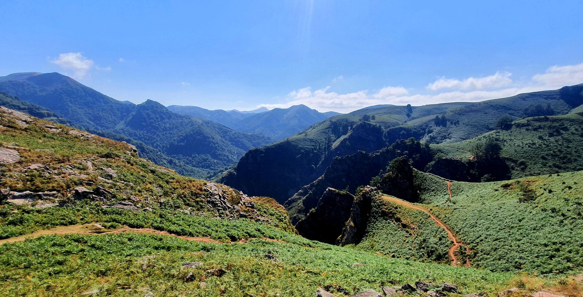
A land rich in character – running in the Basque Country
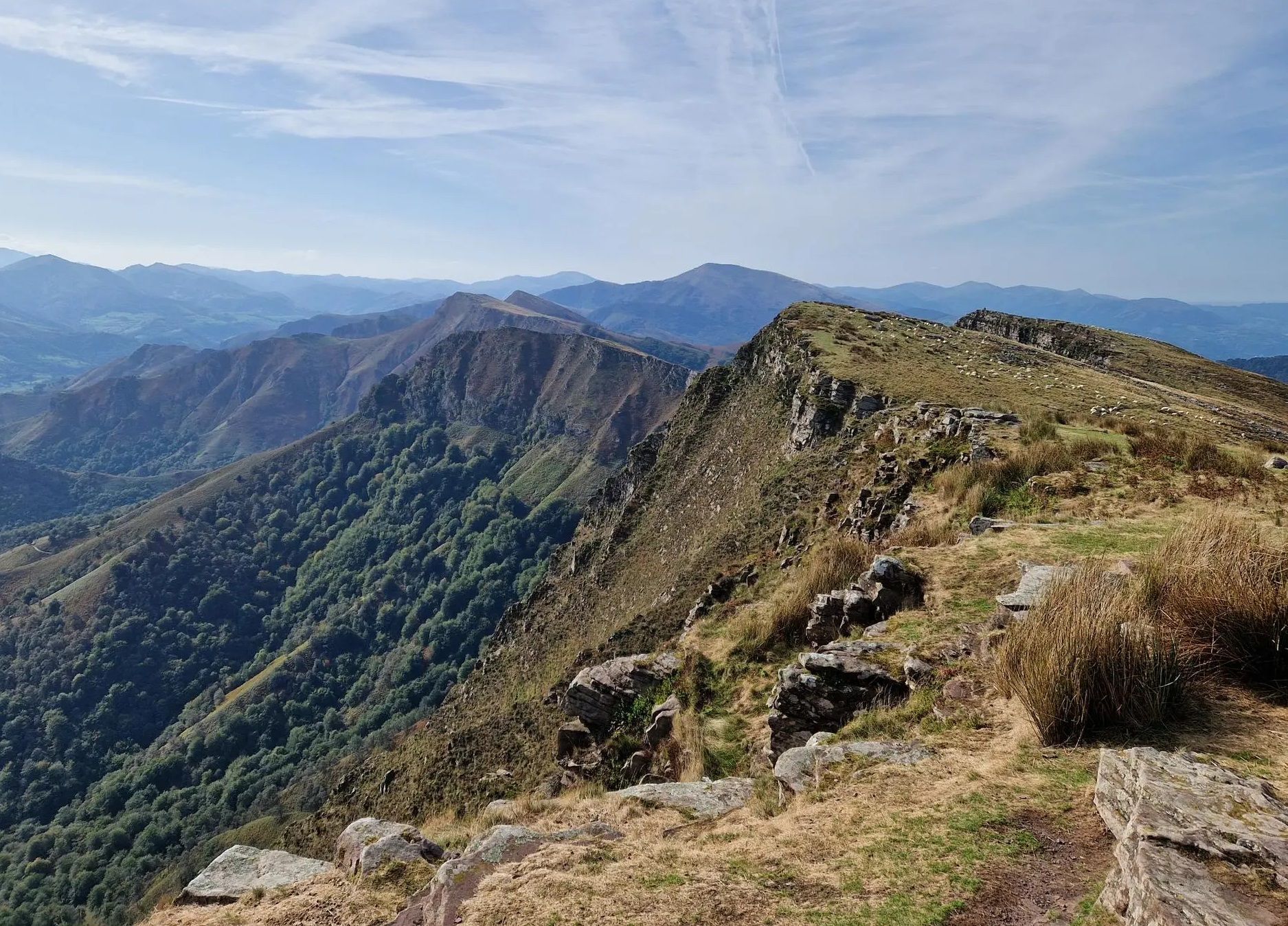
Peace and authenticity – trail running in the Baigorri and Aldudes valley

Haute Route Pyrénéenne – Pyrenees Crossing
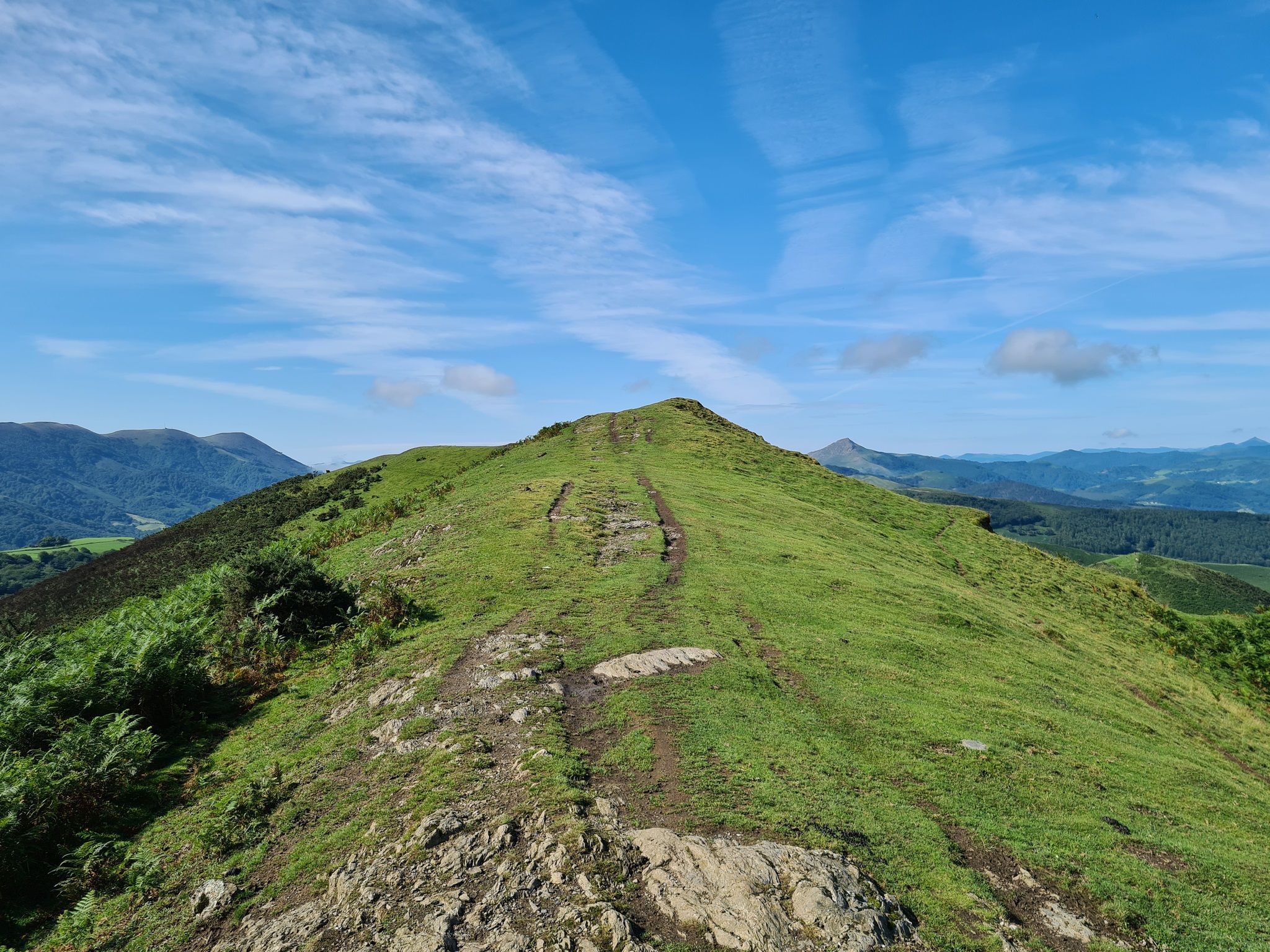
The Pyrenees to Biscay — La Grande Traversée MTB du Pays Basque
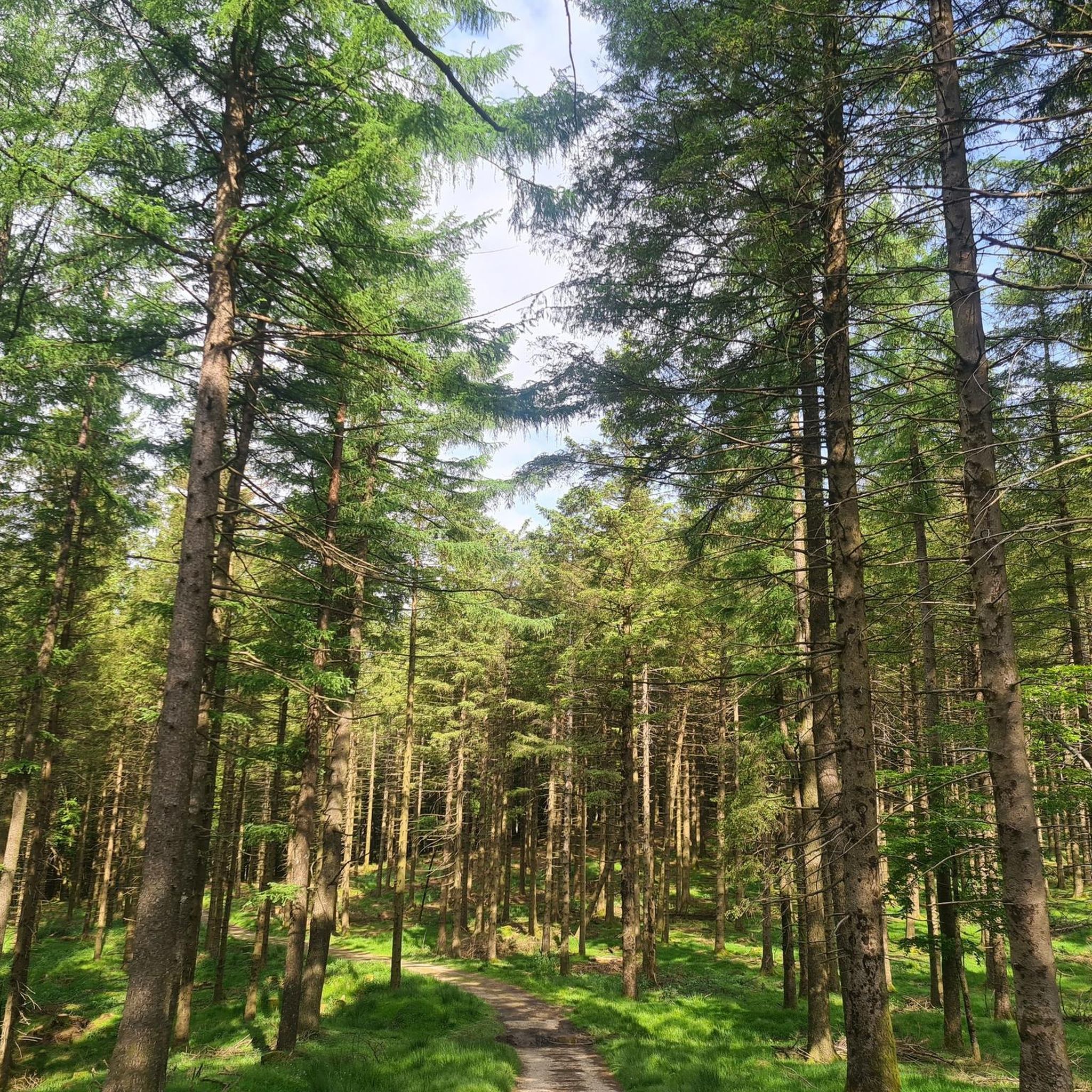
Road Cycling Routes around Urepel
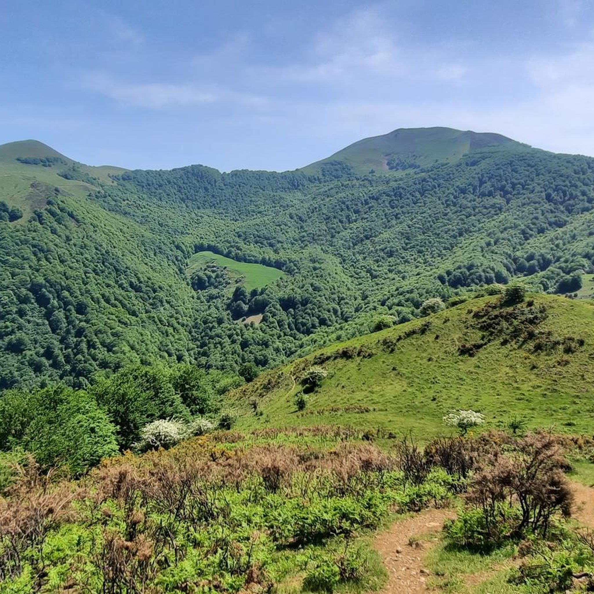
Cycling around Urepel
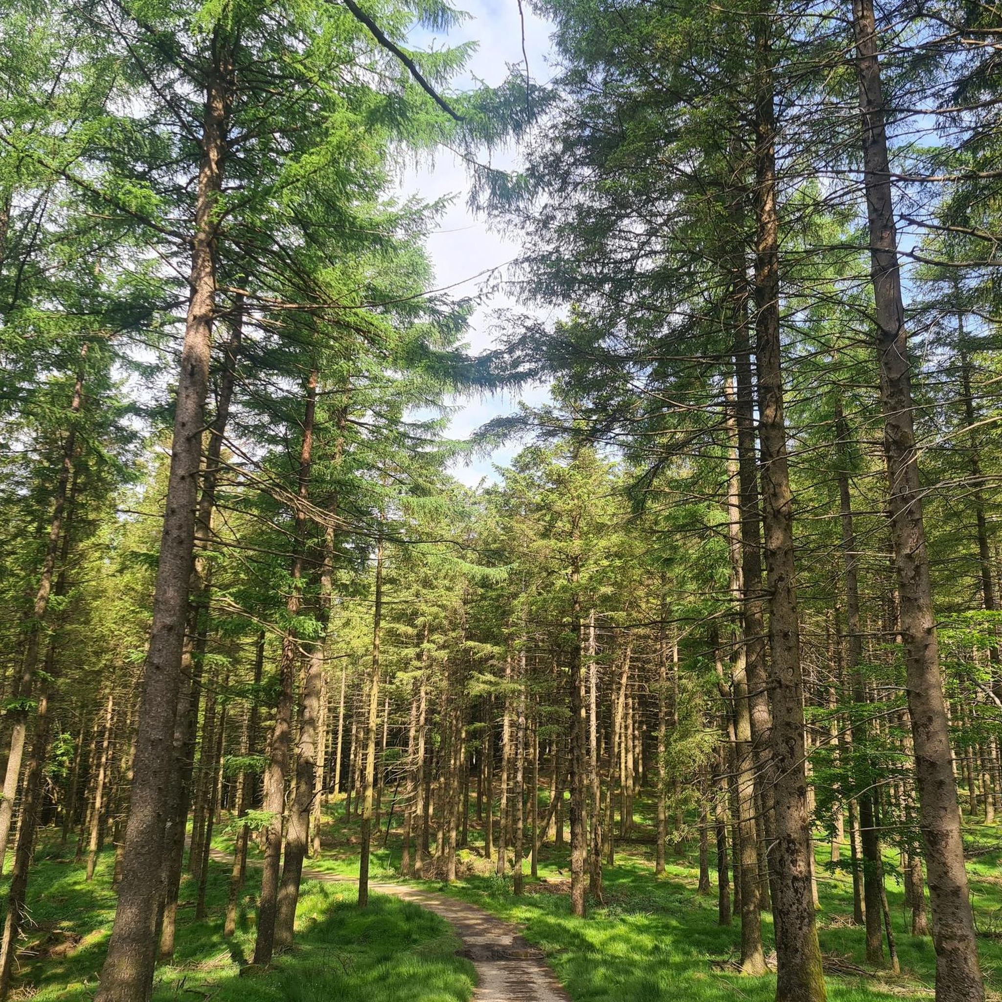
Hiking around Urepel
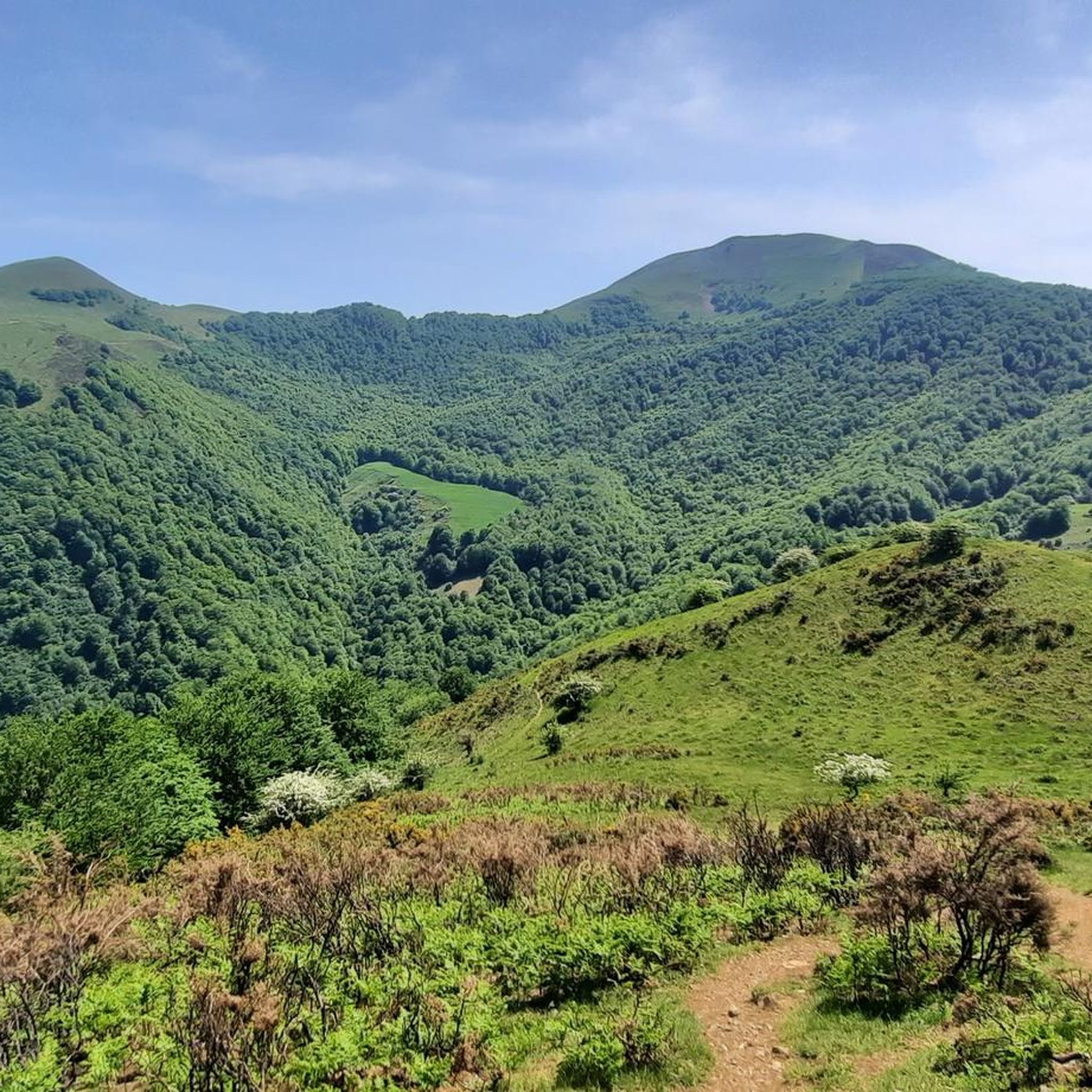
MTB Trails around Urepel

Gravel biking around Urepel
Other adventures around Urepel


Tips from the Community

Les Aldudes is a very nice, remote little village tucked away in the Basque hills. It is a beautiful spot with a fiercely strong Basque identity, in fact, a waitress at the local bar quickly made it clear that speaking Spanish was out of the question, and that English was much preferred! For hikers and backpackers, the local community has set up some fantastic, welcoming facilities: Free Camping: Just behind the gas station, there is an open clearing that the town has officially designated as a free campsite. Showers & Restrooms: You can find very convenient toilets and showers located in the building right next to the church. Drinking Water: There is a reliable potable water fountain located in the main town square to easily refill your bottles. If you are tired of cooking your own trail rations, the village's single restaurant is very welcoming and the perfect place to sit down for a hot meal. It is an incredibly authentic and convenient stop along the trail!
1
0

The gas station shop is a full resupply if needed. They have ziplocks, toothbrushes, plenty of food, good cheeses and drinks. They have french canister fuel and are very friendly.
0
0

There is also a camping area where HRP hikers can stay overnight for free. The small restaurant on the road is also recommended.
2
1

There is a small corner shop at the gas station where you can buy groceries. Highly recommended.
1
1

The red and white milestones perfectly mark the path on the steep mountainside and reach a small pass on the rope. The summit is on the left, past the fence of wooden posts that runs along the summit meadows. The vertex is in ruins, we did not see the mailbox with an ax that was on the pedestal, in any case the views of the western Pyrenees are fantastic, the “sentinel” of Quinto Real chose the best place to monitor these contours of forests, rivers and legendary mountains. The trail descends from the summit along the southeast spur. The GR-322 Nafarroa Extrem continues towards the northwest towards the port of Urkiaga, connecting with the GR-11 Senda Pirinaica and GR-12 Sendero de Esuskal Herria trails.
0
0

Great passage clinging to the hillside, above the Aldude valley. The trail alternates between open parts and more shaded portions.
1
0
The Sorogain pass is located on the heights of the Aldudes valley in the Spanish Basque Country, not far from the border with France.
1
0
The Adi or “Ahadi” in Basque is the highest point of the Aldudes valley. Located at 1,457 meters, it is located in the Spanish Basque Country.
1
0
Frequently Asked Questions
What kind of terrain can I expect on running routes around Urepel?
Running routes around Urepel primarily feature mountainous terrain within the French Pyrénées-Atlantiques and the scenic Aldudes Valley. You'll encounter varied inclines, with elevations reaching up to 1,150 meters, extensive forests, and river courses like the Nive des Aldudes. The area is known for its challenging mountain passes and diverse natural landscapes.
Are there running routes suitable for beginners in Urepel?
While Urepel is known for its more challenging terrain, with 34 out of 45 routes rated as difficult, there are 11 routes classified as moderate. These moderate options can be a good starting point for runners looking to build up their endurance in the mountainous environment. Currently, there are no routes specifically categorized as easy.
What are some notable natural features or landmarks I might see while running in Urepel?
Urepel's routes offer stunning natural beauty. You might encounter significant mountain passes like Ispéguy, Ibañeta (Roncesvalles), and Artesiaga, which provide breathtaking panoramic views. Other natural highlights include the Xorroxin Waterfall, the Munhoa Summit, and the Hautza Summit. The region also boasts extensive forests of Scots pine, gall oaks, and aspens, and follows river courses like the Nive des Aldudes.
Are there any circular running routes in the Urepel area?
Yes, Urepel offers several circular running routes. For instance, you could explore the challenging Loop on the heights of Urepel – running in the Basque Country, which covers approximately 23.3 km with over 1000 meters of elevation gain. Another option is the Urepel loop, a difficult 23.9 km route with similar elevation changes.
What is the best time of year for running in Urepel?
The Pyrenean region around Urepel offers varied conditions throughout the year. Spring and autumn generally provide pleasant temperatures and vibrant scenery, ideal for running. Summer can be warm, especially at lower elevations, but higher passes offer cooler air. Winter running is possible but may require specific gear due to snow and ice, particularly at higher altitudes.
What do other runners say about the trails in Urepel?
The running trails in Urepel are highly regarded by the komoot community, holding an average rating of 4.5 stars from numerous reviews. Runners often praise the stunning Pyrenean landscapes, the challenging yet rewarding ascents, and the diverse natural environment that makes each run a unique experience.
Are there any family-friendly running options in Urepel?
Given the predominantly difficult and moderate ratings of the routes, Urepel's running trails are generally more suited for experienced runners or families with older children who are accustomed to significant elevation changes and longer distances. There are no routes specifically designated as easy or family-friendly for younger children or casual strolls.
Can I bring my dog on the running trails around Urepel?
While specific regulations for dogs on Urepel's trails are not detailed, it's common in natural areas of the Pyrénées-Atlantiques to allow dogs on trails, often requiring them to be on a leash, especially in areas with livestock or protected wildlife. Always be mindful of local signage and respect pastoral areas.
How long do the running routes in Urepel typically take to complete?
The duration of running routes in Urepel varies significantly based on distance and elevation. For example, the Highest point of the Aldudes, a 21.1 km difficult route, typically takes around 3 hours 42 minutes. A shorter, but still difficult, route like Hargibel (11.5 km) can be completed in about 1 hour 47 minutes.
Are there any historical sites or cultural points of interest along the running routes?
Yes, the region around Urepel is rich in history. While running, you might encounter variants of the Camino de Santiago, offering a cultural journey alongside physical activity. Nearby, the Roncesvalles Collegiate Church is a significant historical and architectural point of interest, and within the village, you can find the 17th-century Inharabia house and a 19th-century neo-classical church.
What is the elevation gain like on Urepel's running routes?
Urepel's running routes are characterized by significant elevation gains, reflecting its mountainous location. Many routes feature ascents well over 500 meters. For example, the Highest point of the Aldudes route involves over 1,360 meters of ascent, while the Lindus route includes approximately 880 meters of climbing.
How many running routes are available in Urepel?
There are over 45 dedicated running routes available around Urepel, catering to various levels of difficulty. This extensive network ensures a wide range of options for exploring the stunning Pyrenean landscape.
Most popular attractions around Urepel

Get inspired with the komoot mobile app


Explore more
Browse the best Running Trails & Routes in other regions.
