The best walks and hikes around Urepel
4.5
(429)
2,898
hikers
155
hikes
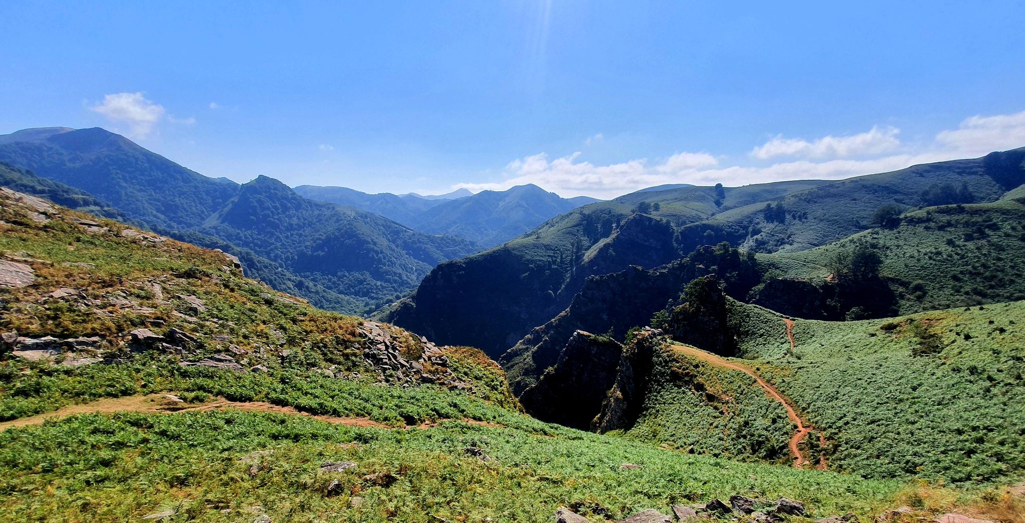
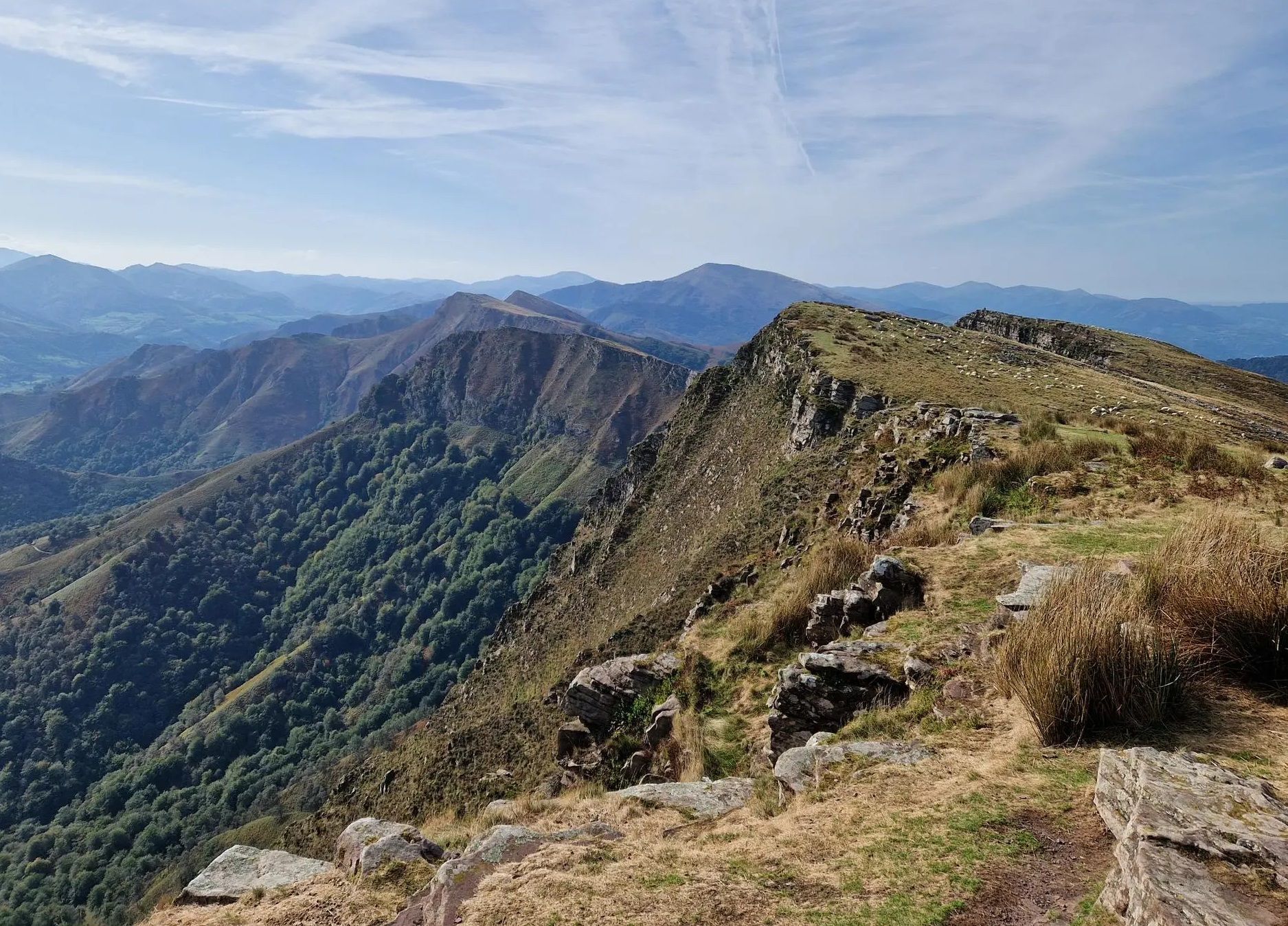
Hiking around Urepel offers diverse landscapes within the Pyrénées-Atlantiques region of the French Basque Country. The area is characterized by lush green valleys, dense forests, and significant mountain passes and peaks that are part of the wider Pyrenean range. Hikers can explore varied terrains, from lower-elevation paths to challenging ascents, providing extensive views of the surrounding mountains.
Best hiking trails around Urepel
- The most popular hiking route is Mendiaundi and Menditxuri Loop, a 6.4 miles (10.3 km) moderate trail…
Last updated: October 12, 2026
4.0
(11)
15
hikers
10.3km
03:23
380m
380m
Hike the moderate 6.4-mile Mendiaundi - Menditxuri circular trail on the Senda Pirenaica (GR 11) for panoramic Pyrenees views.
5.0
(1)
8
hikers
19.1km
08:07
1,430m
1,430m
Hard hike. Very good fitness required. Mostly accessible paths. Sure-footedness required.

4.5
(2)
6
hikers
18.2km
05:54
800m
800m
Hard hike. Very good fitness required. Easily-accessible paths. Suitable for all skill levels.
3.0
(3)
9
hikers
Hard hike. Good fitness required. Sure-footedness, sturdy shoes and alpine experience required.
5.0
(3)
7
hikers
20.3km
06:29
720m
720m
Hard hike. Very good fitness required. Sure-footedness, sturdy shoes and alpine experience required.
Get access to more routes and recommendations from other explorers.
Already have an account?
Our route recommendations are based on thousands of hikes, rides, and runs completed by other people on komoot.
Start today with a free account
Your next adventure awaits.
Popular around Urepel

Haute Route Pyrénéenne – Pyrenees Crossing
A land rich in character – running in the Basque Country
Peace and authenticity – trail running in the Baigorri and Aldudes valley
The Pyrenees to Biscay — La Grande Traversée MTB du Pays Basque
Running Trails around Urepel
Road Cycling Routes around Urepel
Cycling around Urepel
MTB Trails around Urepel

Gravel biking around Urepel
Other adventures around Urepel


Tips from the Community

The Col de Lindus (sitting at roughly 1,220 meters) is a magnificent mountain pass perched right on the border between France and Spain. The pass offers sweeping, unobstructed views over the incredibly lush, rolling Basque mountains, the vast beech forests nearby, and the deep valleys on both sides of the border. This specific saddle is famously known as a major European migration corridor. If you happen to pass through during the autumn migration season, you can look up and spot thousands of birds traveling south, particularly majestic raptors and wood pigeons. Historical Ruins: As you explore the open grassy ridges, you will likely stumble upon the remains of old defensive bunkers and redoubts. They are a neat historical curiosity and a stark reminder of the border's strategic military past.
1
0
This is a fantastic and highly convenient drinking water fountain. The best part is that it features multiple taps, meaning you won't have to wait in line to refill your bottles if other hikers or cyclists happen to be resting at the same time. The water is potable, fresh, and perfectly safe to drink. It is an ideal, quick pit stop to hydrate, splash some cold water on your face, and top off your supplies before hitting the trail again!
1
0

Located in the Aldudes valley, in France, this village is located in a privileged area of the eastern French Pyrenees. It is worth visiting it leisurely by bike.
0
0

Old bunker, probably built after the civil war.
0
0
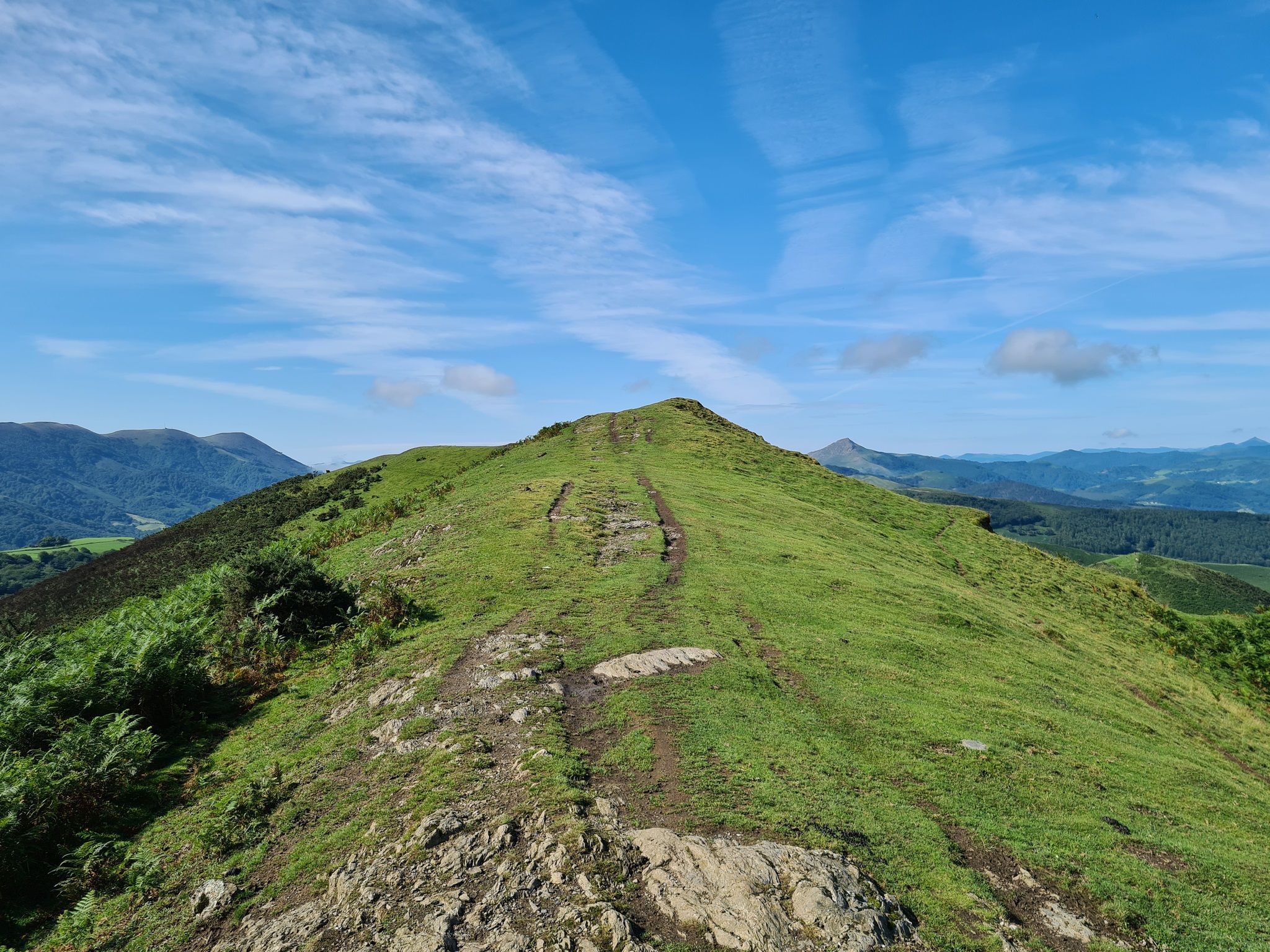
Typical Basque mountain. Green, with a round top and unbeatable panoramic views
1
0

The red and white milestones perfectly mark the path on the steep mountainside and reach a small pass on the rope. The summit is on the left, past the fence of wooden posts that runs along the summit meadows. The vertex is in ruins, we did not see the mailbox with an ax that was on the pedestal, in any case the views of the western Pyrenees are fantastic, the “sentinel” of Quinto Real chose the best place to monitor these contours of forests, rivers and legendary mountains. The trail descends from the summit along the southeast spur. The GR-322 Nafarroa Extrem continues towards the northwest towards the port of Urkiaga, connecting with the GR-11 Senda Pirinaica and GR-12 Sendero de Esuskal Herria trails.
0
0

The Adi or “Ahadi” in Basque is the highest point of the Aldudes valley. Located at 1,457 meters, it is located in the Spanish Basque Country.
1
0
Located at an altitude of 965 meters not far from the Spanish border, this small pass is on the route of the HRP (Haute Route Pyrénéenne). Despite dense vegetation, some views open onto the Aldudes valley. There is also a drinking water tap.
2
0
Frequently Asked Questions
How many hiking trails are available around Urepel?
There are over 140 hiking routes around Urepel, catering to a wide range of fitness levels. These include easy paths, moderate loops, and more challenging mountain ascents within the Pyrenean landscape.
What kind of terrain can I expect on hikes near Urepel?
Hikes near Urepel feature diverse Pyrenean terrain, from lush green valleys and dense forests to significant mountain passes and peaks. You'll find a mix of well-marked paths and more rugged trails, offering extensive views of the surrounding mountains.
Are there easy hiking options for beginners or families in Urepel?
Yes, Urepel offers a good selection of easier routes. Approximately 24 of the trails are classified as easy, making them suitable for beginners or families looking for a less strenuous outdoor experience.
Can I find challenging mountain hikes around Urepel?
Absolutely. Urepel is an excellent base for challenging mountain hikes. There are 32 difficult routes, including ascents to peaks like Adi Summit, which offer extensive panoramic views and require good fitness. An example is the Argintzu – Puerto de Urkiaga loop.
Are there any circular hiking routes in the Urepel area?
Many of the trails around Urepel are circular, allowing you to start and end your hike in the same location. Popular options include the moderate Mendiaundi and Menditxuri Loop, or the more challenging Urepel – Urepel loop.
What notable natural features or landmarks can I see while hiking near Urepel?
The region is rich in natural beauty and historical sites. You can explore various mountain passes like Ispéguy Pass or Ibañeta Pass, which also features the Roland Monument. Other highlights include the Roncesvalles Collegiate Church and the Roland Fountain.
What is the best time of year to go hiking in Urepel?
The Pyrenees, including the Urepel area, are generally best for hiking from late spring through early autumn (May to October). During these months, the weather is typically milder, and trails are more accessible. Winter hiking is possible but requires appropriate gear and experience due to snow and colder conditions.
Are dogs allowed on the hiking trails around Urepel?
While many trails in the French Pyrenees are dog-friendly, it's always recommended to check specific local regulations or national park rules for each route, especially concerning protected areas or livestock grazing. Always keep your dog under control and clean up after them.
What do other hikers enjoy the most about hiking in Urepel?
The komoot community highly rates the hiking experience in Urepel, with an average score of 4.5 stars from over 450 reviews. Hikers often praise the stunning panoramic views of the Pyrenees, the diverse terrain, and the sense of immersion in the authentic Basque Country landscape.
Are there options for long-distance trekking from Urepel?
Yes, Urepel is situated near significant long-distance trails such as the Senda Pirenaica (GR 11) and the Haute Route Pyrénéenne (HRP). These offer extensive multi-day trekking opportunities across the Pyrenees for experienced hikers.
Are there any trails that lead to prominent peaks or offer expansive views?
Many trails in the Urepel area lead to prominent peaks with rewarding vistas. The Adi Summit – Urepel loop, for instance, offers challenging ascents to the Adi Summit, providing extensive panoramic views of the Pyrenees and the surrounding region.
What are the typical durations for hikes in Urepel?
Hike durations vary significantly based on difficulty and length. Moderate trails like the Mendiaundi and Menditxuri Loop typically take around 3 hours 20 minutes, while more difficult and longer routes, such as the Urepel – Urepel loop, can take nearly 6 hours.
Most popular attractions around Urepel

Get inspired with the komoot mobile app


Explore more
Browse the best Hikes in other regions.
