The best road cycling routes around Urepel
4.7
(69)
2,473
riders
42
rides
Road cycling routes around Urepel traverse the mountainous terrain of the Pyrenees, characterized by significant elevation changes and winding roads. The region features numerous passes and valleys, often flanked by dense forests and offering views of reservoirs. Road cyclists can expect challenging climbs and descents across this varied landscape.
Best road cycling routes around Urepel
- The most popular road cycling route is Alto de Erro Ascent – Rabia Bridge, Zubiri loop from Aurizberri, a 54.7 miles (88.1 km) trail…
Last updated: October 11, 2026
4.4
(9)
711
riders
88.0km
04:35
1,080m
1,080m
Hard road ride. Very good fitness required. Some segments of this route may be unpaved and difficult to ride.
195
riders
75.7km
04:24
1,490m
1,490m
Hard road ride. Very good fitness required. Mostly well-paved surfaces and easy to ride.

5.0
(4)
174
riders
55.4km
03:16
1,270m
1,270m
Hard road ride. Very good fitness required. Mostly well-paved surfaces and easy to ride.
5.0
(1)
67
riders
97.5km
05:18
1,790m
1,790m
Hard road ride. Very good fitness required. Mostly well-paved surfaces and easy to ride.
4.8
(4)
100
riders
47.9km
02:13
530m
530m
Moderate road ride. Good fitness required. Mostly well-paved surfaces and easy to ride.
Get access to more routes and recommendations from other explorers.
Already have an account?
Our route recommendations are based on thousands of hikes, rides, and runs completed by other people on komoot.
Start today with a free account
Your next adventure awaits.
Popular around Urepel
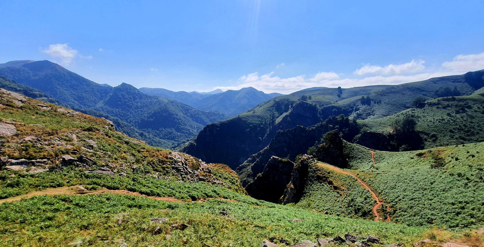
A land rich in character – running in the Basque Country

Haute Route Pyrénéenne – Pyrenees Crossing
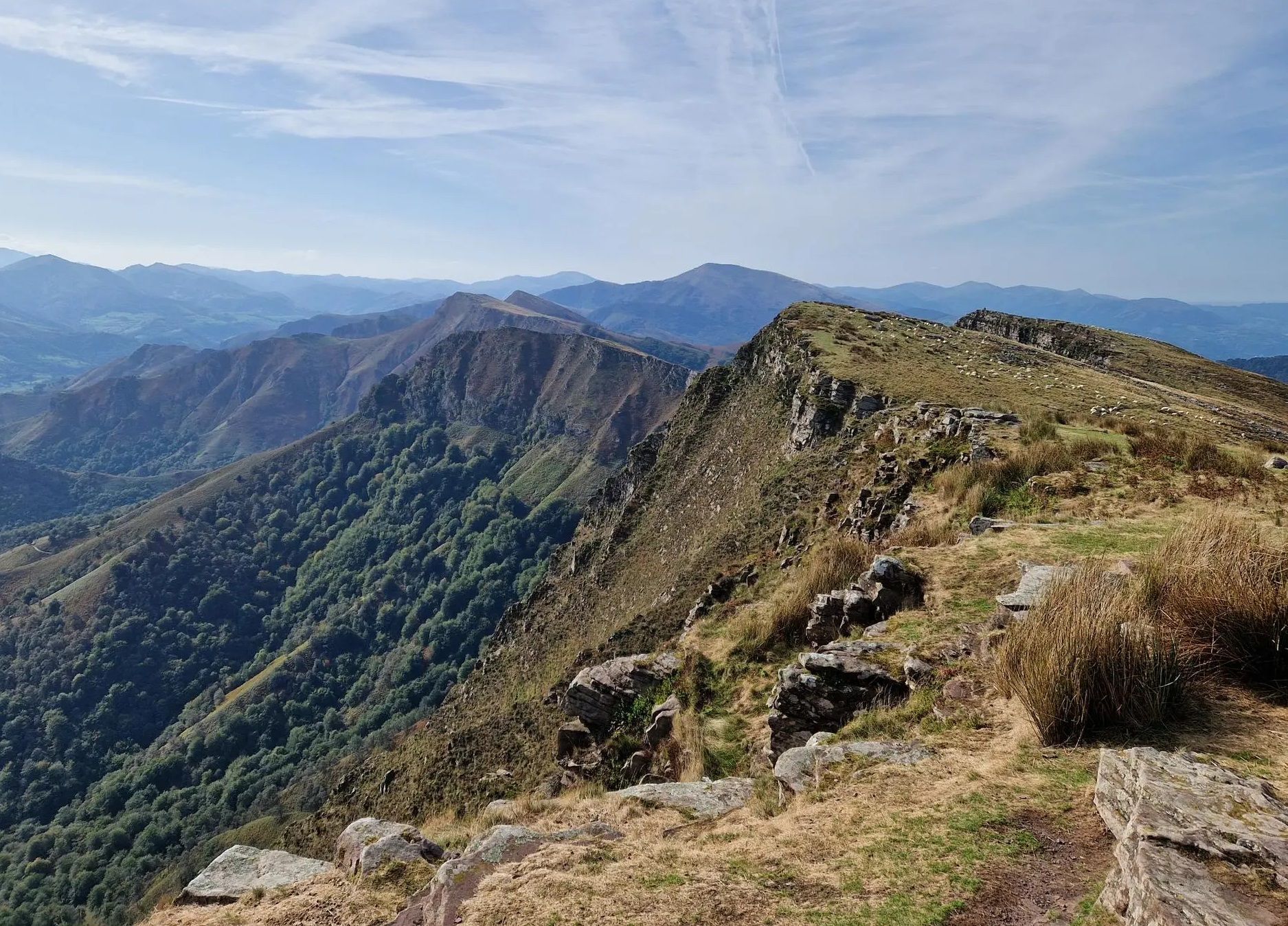
Peace and authenticity – trail running in the Baigorri and Aldudes valley
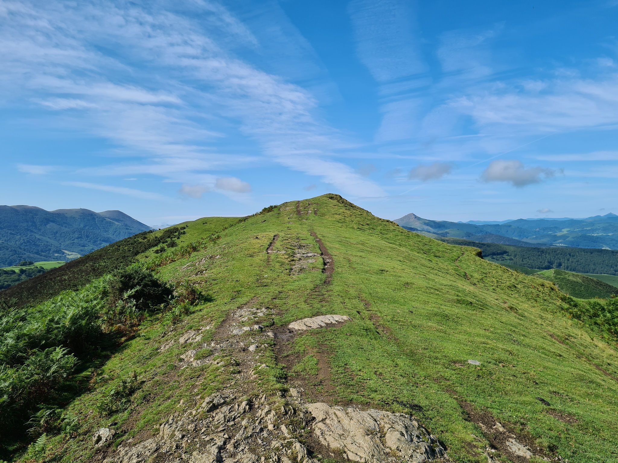
The Pyrenees to Biscay — La Grande Traversée MTB du Pays Basque
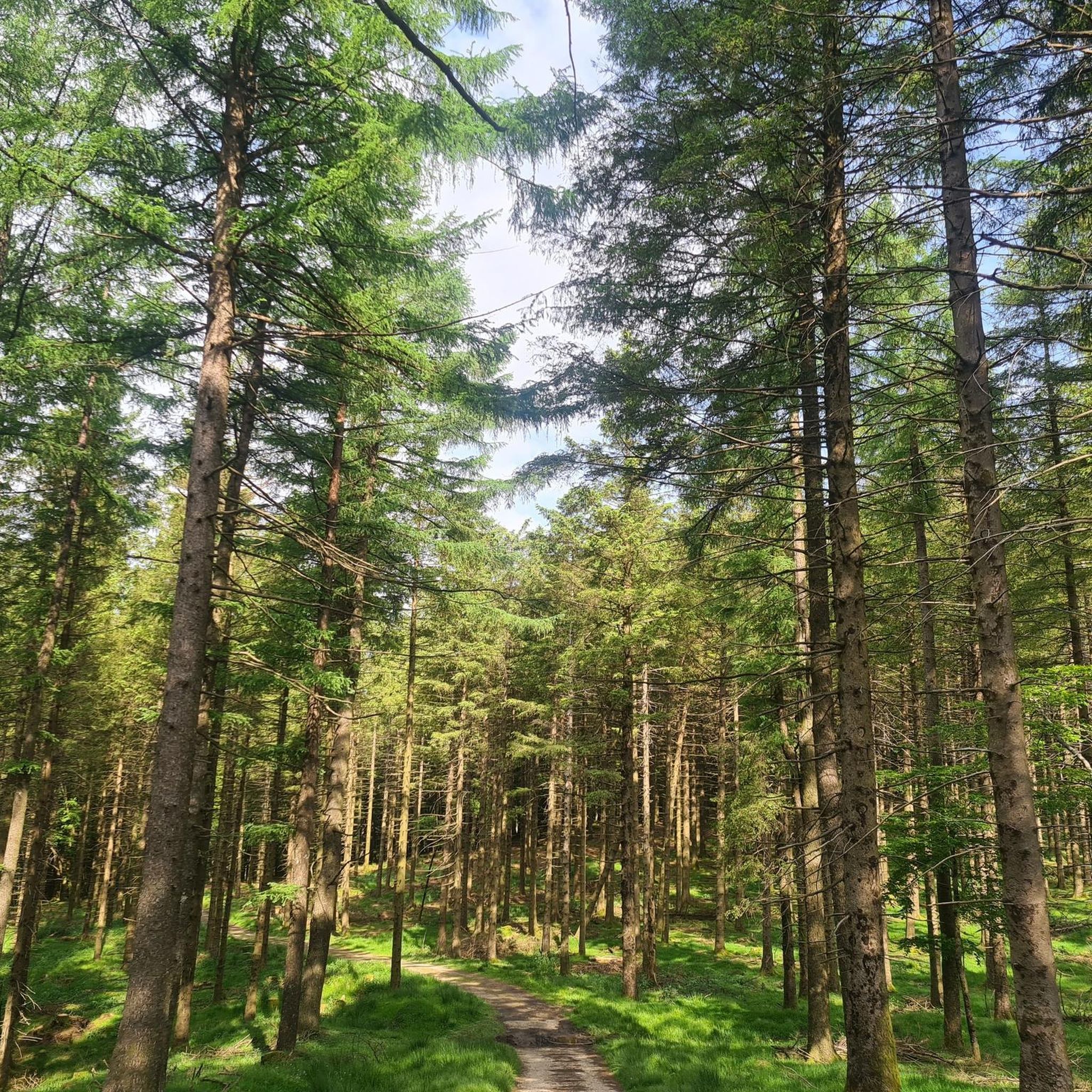
Running Trails around Urepel
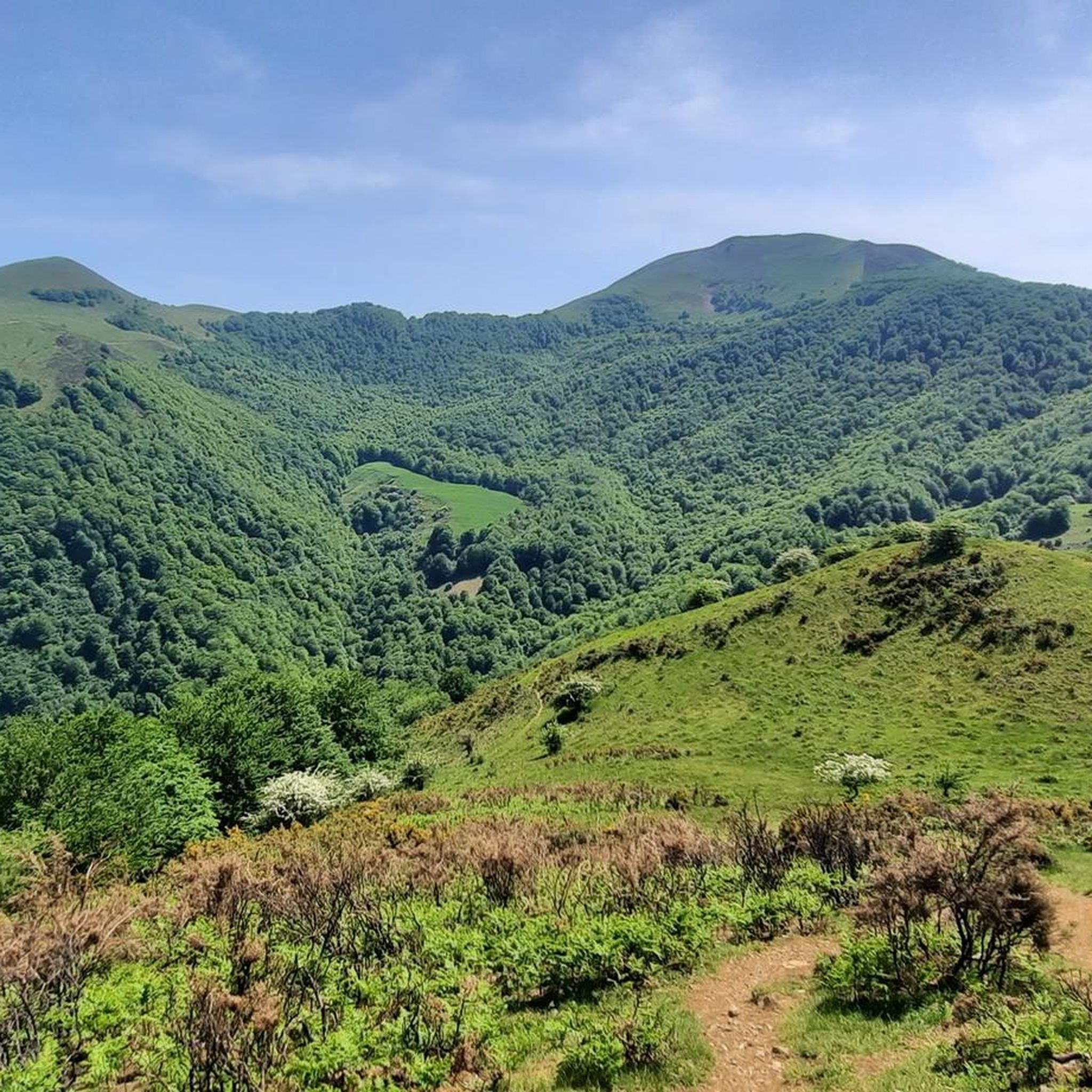
Cycling around Urepel
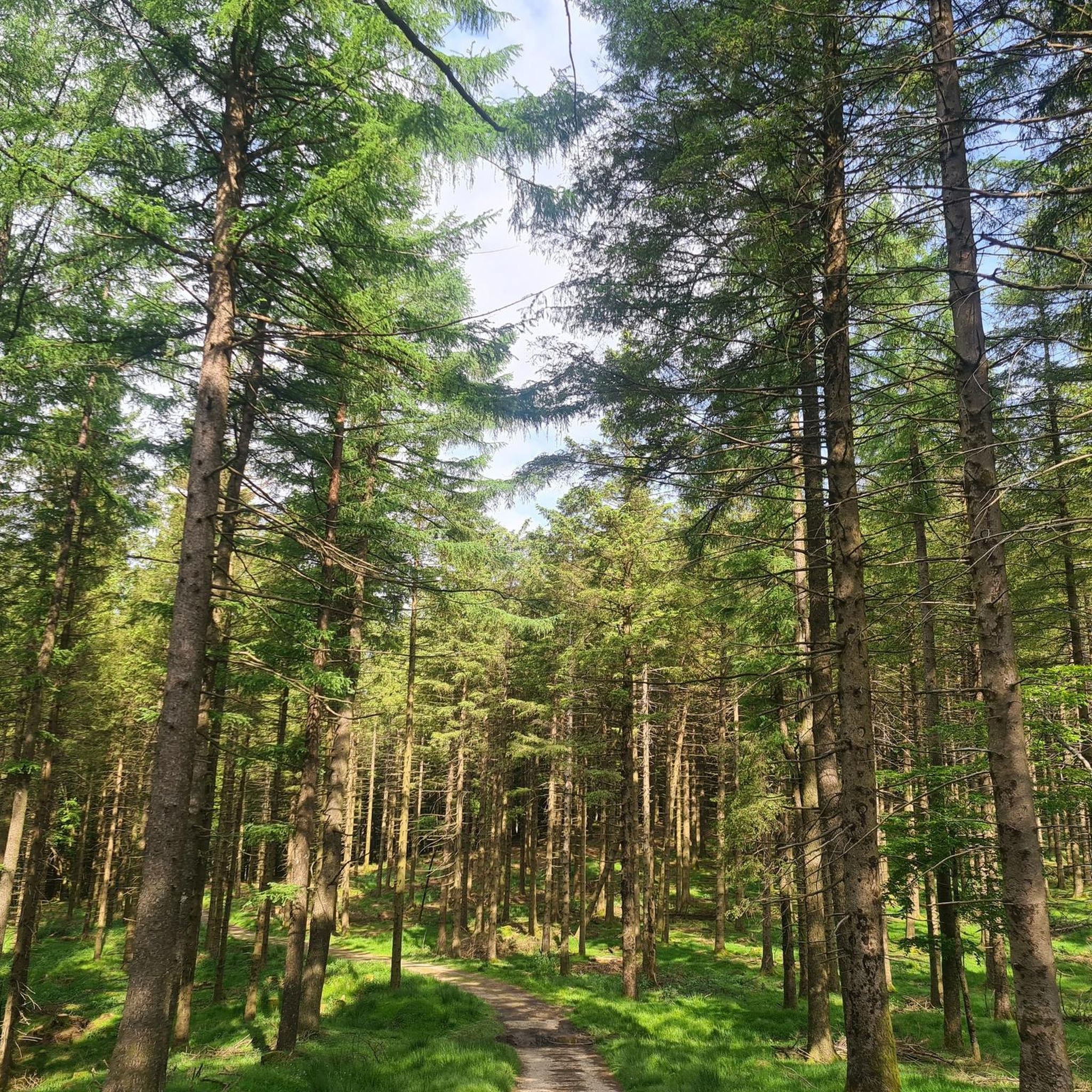
Hiking around Urepel
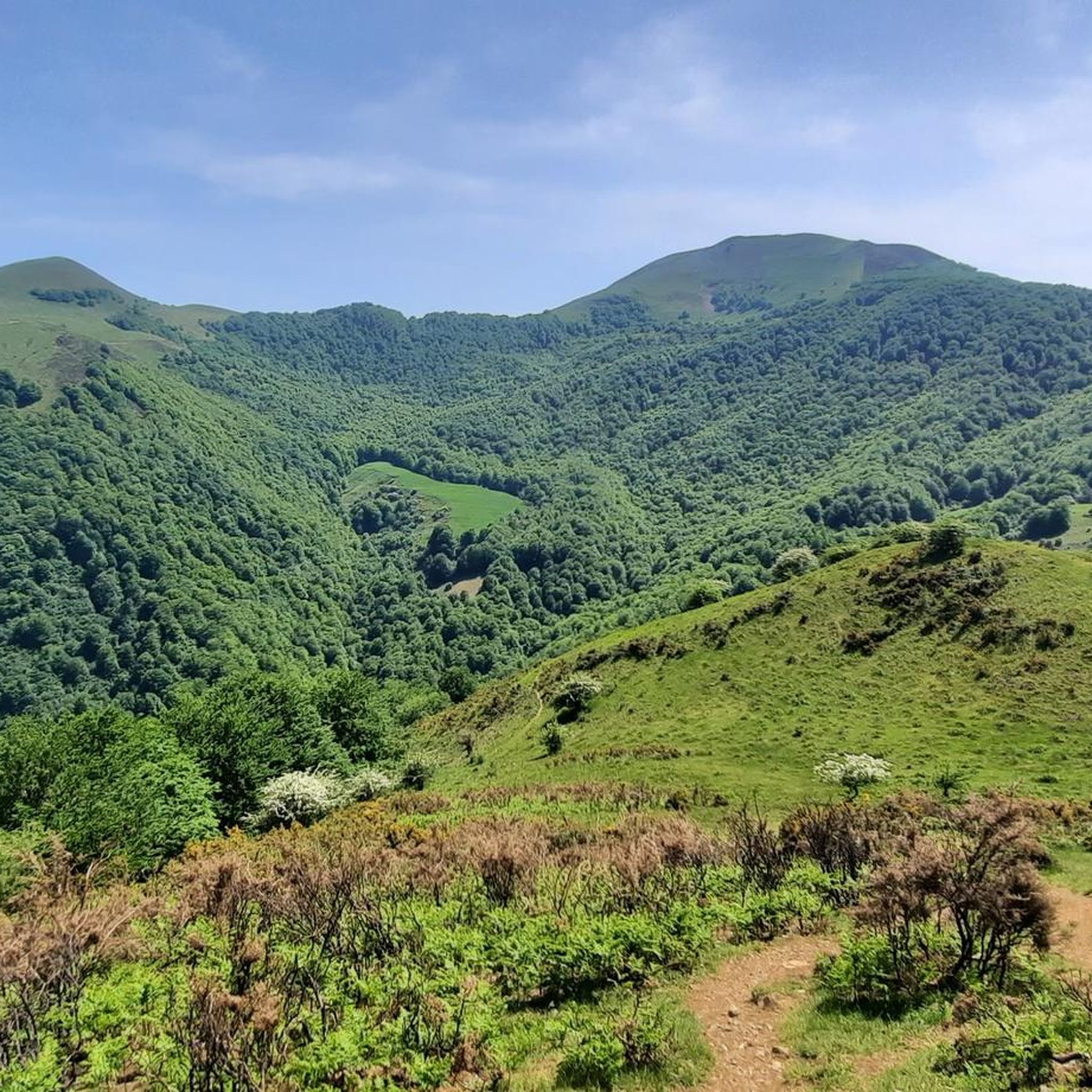
MTB Trails around Urepel

Gravel biking around Urepel
Other adventures around Urepel


Tips from the Community

Beautiful town with many bars, restaurants, grocery stores and supermarkets for a pleasant break. It is worth stopping to visit the heart
0
0

One of the most beautiful `villages in Navarra with its stone houses, cobbled streets, and medieval bridges. It is a village that due to its location we can consider as the gateway to explore the Selva de Irati.
1
0

Reaching Roncesvalles meant the luxury of sleeping in a real bed at the famous pilgrim hostel (albergue de peregrinos). Marking the end of the legendary first stage of the Camino Francés from Saint-Jean-Pied-de-Port into Spain, this impressive, well-organized facility is wonderfully run by Dutch volunteers. Since there is no grocery store in Roncesvalles itself, a necessary 5 km round-trip walk was required to stock up, loading down my backpack with enough supplies for 5 breakfasts, 7 lunches, and 5 dinners for the demanding days ahead.
2
0
At the foot of the Pyrenees on the Spanish side of the border, Roncesvalles is one of the most iconic and historic stops on the entire Camino de Santiago. Famous for its magnificent 13th-century Royal Colegiata of Saint Mary, this small hamlet has welcomed weary pilgrims and hikers for centuries after their demanding trek over the mountain pass from Saint-Jean-Pied-de-Port. Beyond its rich medieval history and legendary link to the Song of Roland, Roncesvalles offers essential comforts for travelers today, including pilgrim hostels, warm meals, and a deeply atmospheric sanctuary where you can rest, reflect, and prepare for the road ahead.
2
0

Viewpoint to fully enjoy the Roman bridge of Saint-Étienne-de-Baïgorry
0
0

Orreaga-Roncesvalles preserves the memory of heroic songs, ancient paths, and exhausted pilgrims on the way to Compostela. Kings who built hospitals, churches, monasteries, and chapels, innkeepers for whom welcoming strangers was and is sacred, and the love for their Holy Virgin, their brotherhood, and their pilgrims and their many crosses. Since the 10th century, Roncesvalles has been a place where pilgrims on the Camino de Santiago to Santiago de Compostela can rest after their arduous ascent. Santa María de Roncesvalles is above all a place for spirituality and pilgrimage. Pilgrim masses, pilgrimages, Brotherhood of Nuestra Señora. At the 1057m high Puerto Roncesvalles pass, Augustinians founded the Colegiata de Roncesvalles abbey in 1130. As early as 778, a battle took place here between the Franks under Charlemagne and the Basques. The warrior Roland was killed, and the Song of Roland was created.
0
0

Even if you don't plan or have the ability to walk the entire Camino Frances, the stage that reaches Roncesvalles is a must for the beauty of the landscapes and the evocative atmosphere it offers, especially when—descending from the Ibañeta Pass—the boundless Spanish landscape suddenly opens up before your eyes in the golden light of sunset. It's a magical moment, ideally shared with other pilgrims and then enhanced with a visit to the Collegiate Church. The stamp on the Credencial is also beautiful.
1
0

Don't miss a visit to the Pilgrims' Hospital and the Collegiate Church of Santa María. Also, learn about the history of Roncesvalles, as it's very interesting.
0
0
Frequently Asked Questions
What kind of terrain can I expect on road cycling routes around Urepel?
Road cycling routes around Urepel primarily traverse the mountainous terrain of the Pyrenees. You can expect significant elevation changes, winding roads, numerous passes, and valleys, often flanked by dense forests. Some routes also offer views of reservoirs, such as the Rabia Bridge, Zubiri – Views of the Eugi reservoir loop from Aurizberri.
Are there road cycling routes suitable for beginners in Urepel?
The road cycling routes in Urepel are generally geared towards moderate to advanced ability levels due to the mountainous Pyrenean landscape. There are 15 moderate routes and 24 difficult routes available, with no routes specifically categorized as easy. Cyclists should be prepared for challenging climbs and descents.
How long do road cycling tours in Urepel typically take?
The duration of road cycling tours in Urepel varies depending on the route and your pace. For example, the Alto de Erro Ascent – Rabia Bridge, Zubiri loop from Aurizberri is a 54.7-mile (88.1 km) route that typically takes around 4 hours and 35 minutes, while the Roncesvalles – Rabia Bridge, Zubiri loop from Orreaga / Roncesvalles, at 63.1 miles (101.6 km), takes approximately 5 hours and 33 minutes.
What are some of the most scenic road cycling routes in Urepel?
Many routes in Urepel offer scenic views of the Pyrenean landscape. The Rabia Bridge, Zubiri – Views of the Eugi reservoir loop from Aurizberri provides stunning vistas of the Eugi reservoir. Other routes, like the Ochagavía – Laza Pass (1,129 m) loop from Aurizberri, offer extensive climbs through forested valleys and mountain passes.
Are there any circular road cycling routes in Urepel?
Yes, many of the road cycling routes in Urepel are designed as loops, allowing you to start and finish in the same location. Examples include the Alto de Erro Ascent – Rabia Bridge, Zubiri loop from Aurizberri and the Saint-Jean-Pied-de-Port – Ibañeta Pass loop from Orreaga / Roncesvalles.
What kind of attractions can I see along the road cycling routes in Urepel?
The Urepel region offers a mix of natural and historical attractions. You might encounter significant mountain passes like Ispéguy Pass or Ibañeta Pass and the Roland Monument. Historical sites such as the Roncesvalles Collegiate Church are also accessible, offering cultural points of interest during your ride.
What do other road cyclists say about the routes in Urepel?
The road cycling routes in Urepel are highly regarded by the komoot community, holding an average rating of 4.8 stars from over 50 reviews. Cyclists frequently praise the challenging climbs, the stunning Pyrenean scenery, and the well-maintained roads that define the region's cycling experience.
When is the best time of year for road cycling in Urepel?
The best time for road cycling in Urepel is typically from late spring to early autumn (May to October). During these months, the weather is generally more stable, and mountain passes are clear of snow, offering optimal conditions for tackling the region's challenging terrain. Always check local weather forecasts before heading out.
Are there any specific landmarks or natural monuments to look out for?
Yes, beyond the passes, you can find natural monuments like the Roland Fountain. The area is also home to several mountain summits such as Munhoa Summit and Hautza Summit, which, while not directly on road routes, define the dramatic landscape you'll be cycling through.
How many road cycling routes are available in Urepel?
There are 39 road cycling routes around Urepel documented on komoot. These routes cater primarily to moderate and difficult skill levels, offering a wide range of options for experienced cyclists looking to explore the Pyrenean landscape.
What should I wear for road cycling in Urepel?
Given the mountainous terrain and potential for significant elevation changes, it's advisable to wear layers that can be adjusted to varying temperatures. Even in warmer months, higher altitudes can be cooler. A windproof jacket, gloves, and appropriate cycling shorts are recommended, along with a helmet for safety.
Are there options for advanced road cyclists seeking a challenge?
Absolutely. Urepel is well-suited for advanced road cyclists, with 24 routes categorized as difficult. These routes feature substantial elevation gains and long distances, such as the Ochagavía – Laza Pass (1,129 m) loop from Aurizberri, which covers nearly 60 miles (97.5 km) with over 5,800 feet (1,789 m) of elevation gain.
Most popular attractions around Urepel

Get inspired with the komoot mobile app


Explore more
Browse the best Road cycling routes in other regions.
