The best walks and hikes in Main-Taunus-Kreis
4.5
(13538)
59,903
hikers
1,836
hikes
Hiking in Main-Taunus-Kreis features a diverse landscape within the Taunus Nature Park, characterized by green forests, gentle peaks, and winding valleys. The region offers extensive networks of trails through dense woodlands, rolling hills, and wildflower meadows, with a mix of beech and fir trees. The Großer Feldberg, at 880 meters, provides expansive panoramic views across the area. The Main River floodplains also offer picturesque walks.
Best hiking trails in Main-Taunus-Kreis
- The most popular hiking route is Flörsheim Switzerland – Riesling…
Last updated: July 9, 2026
4.6
(493)
1,523
hikers
6.94km
01:50
60m
60m
Easy hike. Great for any fitness level. Easily-accessible paths. Suitable for all skill levels.
4.3
(116)
421
hikers
7.75km
02:00
40m
40m
Easy hike. Great for any fitness level. Easily-accessible paths. Suitable for all skill levels.

Sign up for free
4.7
(143)
440
hikers
11.1km
03:11
260m
260m
Moderate hike. Good fitness required. Easily-accessible paths. Suitable for all skill levels.
4.6
(84)
289
hikers
21.6km
06:13
550m
540m
Hard hike. Very good fitness required. Easily-accessible paths. Suitable for all skill levels.
4.5
(75)
270
hikers
11.3km
03:07
200m
200m
Moderate hike. Good fitness required. Easily-accessible paths. Suitable for all skill levels.
4.4
(89)
348
hikers
12.9km
03:35
240m
240m
Moderate 8-mile hike in Naturpark Taunus, exploring Hofheim's Stadtwald and reaching Meisterturm for views.
4.5
(227)
731
hikers
Moderate hike. Good fitness required. Easily-accessible paths. Suitable for all skill levels.
4.8
(848)
2,684
hikers
Moderate hike. Good fitness required. Mostly accessible paths. Sure-footedness required.
4.8
(269)
887
hikers
16.3km
04:49
490m
490m
Moderate hike. Good fitness required. Easily-accessible paths. Suitable for all skill levels.
4.5
(130)
446
hikers
8.34km
02:18
140m
140m
Moderate hike. Good fitness required. Easily-accessible paths. Suitable for all skill levels.
Get access to more routes and recommendations from other explorers.
Sign up for free
Already have an account?
Our route recommendations are based on thousands of hikes, rides, and runs completed by other people on komoot.
Start today with a free account
Your next adventure awaits.
Login or Signup
Other adventures in Main-Taunus-Kreis


Tips from the Community

The Obermühle is a wonderful building. Nestled in a valley and surrounded by history (Roman kilns and, a dark part of history concerning witch hunts). It is a listed building and dates from the 15th century, but was operated until the 1970s. The building is private, but there is also a holiday apartment there: https://www.obermuehle-traiser.de/
1
0

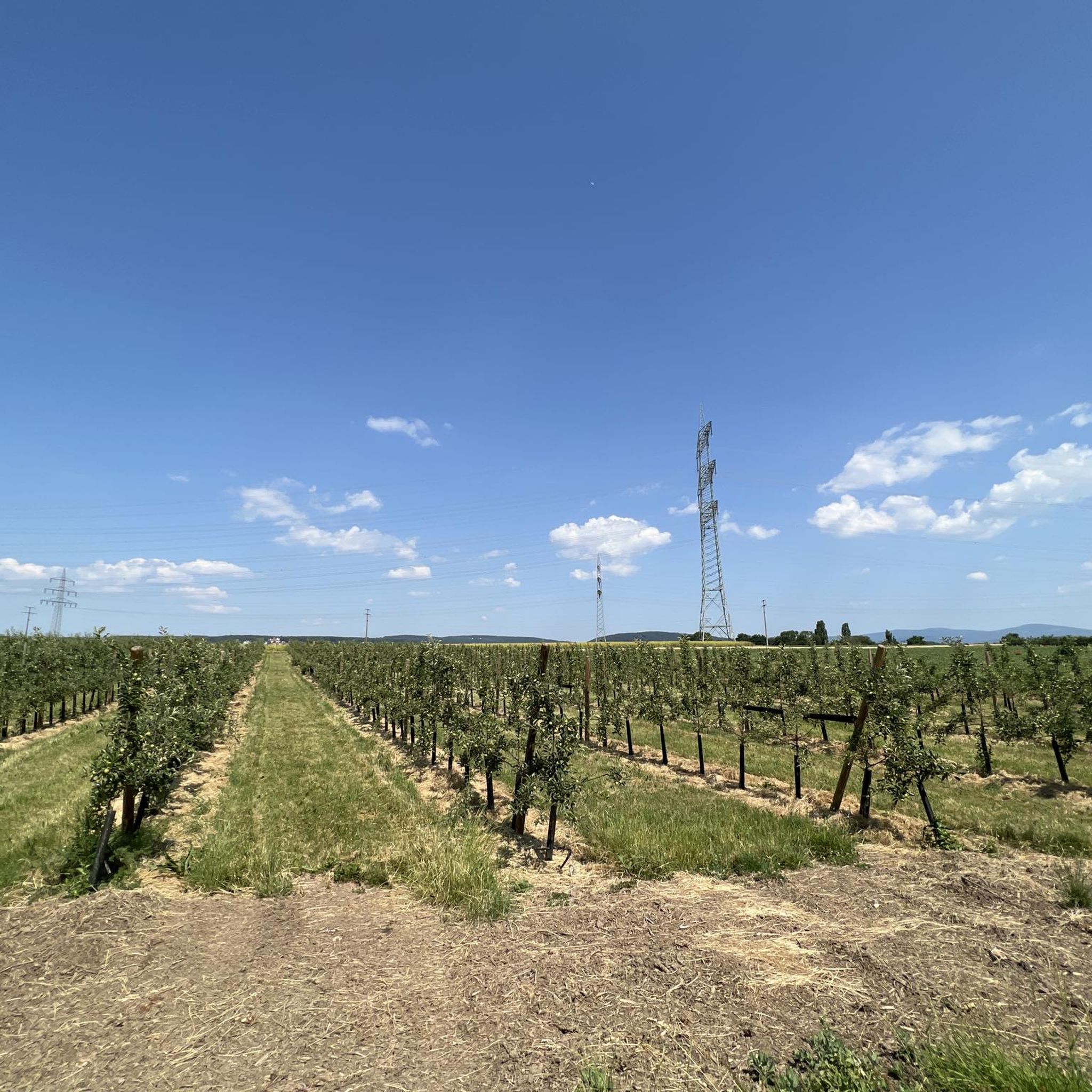
It's always nice to let your gaze wander over the vineyards.
2
0

Apart from the Kastanienhof, whose opening hours must be strictly observed, there is no refreshment stop on the route. It would be nice if there were a marking of the Regiomaten (Dattenbachstrasse Ehlhalten and Niederjosbach Parkplatz on the left shortly before the train station).
0
0
Beautiful path! Gladly again!
0
0

From Schneidhain you have a great view of the castle ruins. A sight that is worth it.
1
0

Source & Course: The Silberbach stream rises in the High Taunus mountains near Schloßborn (municipality of Glashütten). From there, it flows southeast through the wooded Silberbach Valley. Mouth: It flows into the Schwarzbach stream, which in its upper reaches, up to its confluence with the Daisbach stream in Eppstein, is often still referred to as the Dattenbach. The mouth of the Schwarzbach lies between Glashütten-Schloßborn and Eppstein-Vockenhausen. Special Features: The Silberbach Valley is considered ecologically valuable and is managed by the BUND (Friends of the Earth Germany) Königstein-Glashütten branch. The name may historically suggest a stony streambed or former mining attempts. Recreation: A popular hiking trail is the Silberbach Loop, which leads from Dattenbach Valley, passing, among other things, the Atzelberg Tower.
8
1
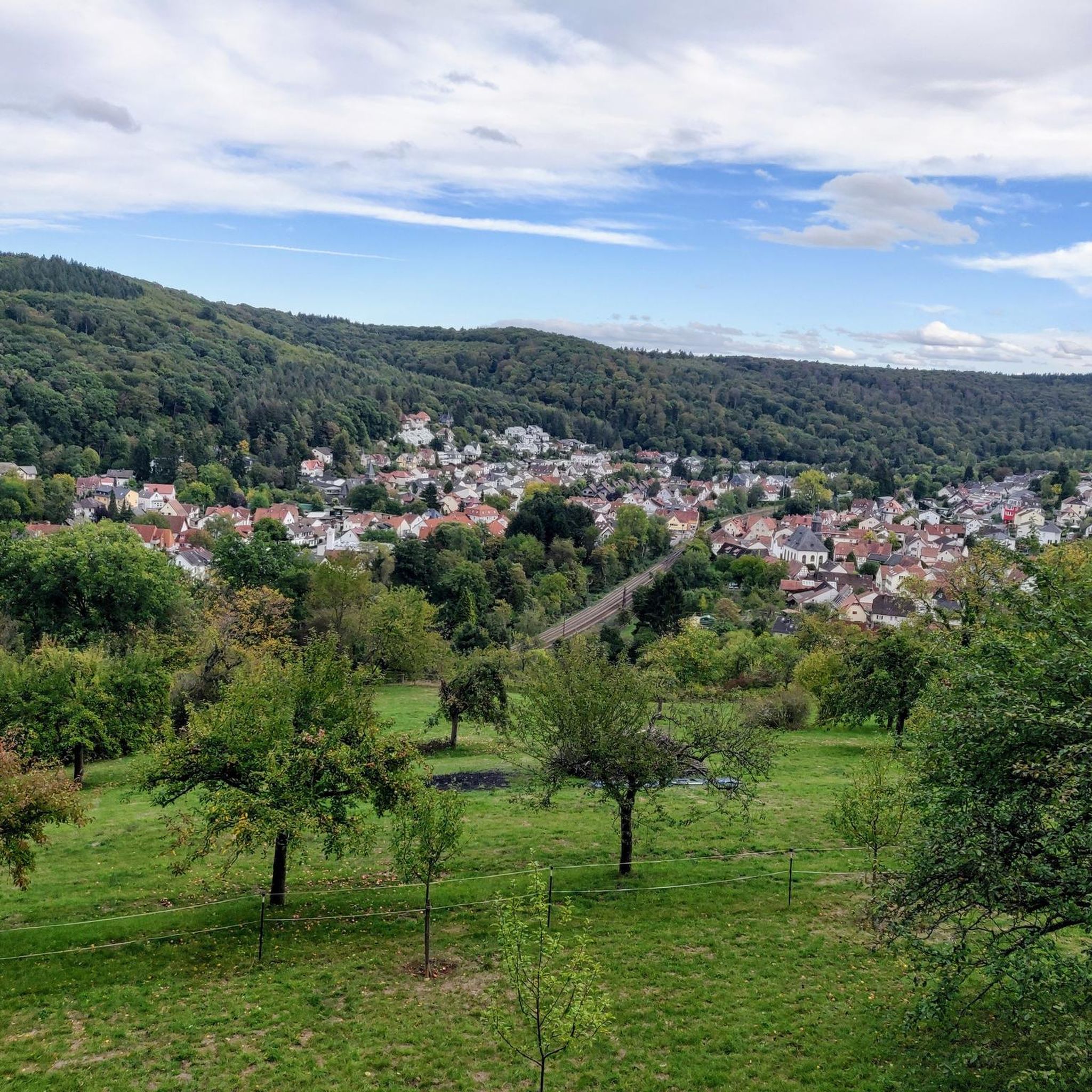
The tower at the ringfort stands at the top of a meadow slope northwest of Lorsbach. From there, one has a panoramic view over Lorsbach and the Lorsbach Valley. The tower takes its name from the Alteburg rampart located further up the hilltop. The wooden tower is 8.60 meters high. The viewing platform is at a height of 4.50 meters. The tower and the surrounding area are owned by the Lorsbach Local History Society. It was built according to plans by the late society member Emanuel Winkelmann. The tower was inaugurated on December 18, 2005. The tower at the ringfort is a popular destination for hikers and walkers. It is also easily accessible from Langenhain and Eppstein via hiking trails. The shortest route there leads from Lorsbach along the Alteburgweg trail.
14
1
Frequently Asked Questions
How many hiking trails are available in Main-Taunus-Kreis?
Main-Taunus-Kreis offers an extensive network of trails, with over 1,800 hiking routes available. These range from leisurely strolls to more challenging routes, catering to various fitness levels and preferences.
What kind of terrain can I expect when hiking in Main-Taunus-Kreis?
The terrain in Main-Taunus-Kreis is diverse, primarily characterized by the Taunus Nature Park's green forests, gentle peaks, and winding valleys. You'll find paths through dense woodlands, rolling hills, and vibrant wildflower meadows. Some routes also offer picturesque walks along the Main River floodplains. The region includes a mix of beech and fir trees, providing varied scenery.
Are there easy hiking trails suitable for beginners or families in Main-Taunus-Kreis?
Yes, Main-Taunus-Kreis has many easy trails perfect for beginners or families. Over 1,200 routes are classified as easy. For example, the Flörsheim Switzerland – Riesling Loop is an easy 6.9 km trail winding through the local wine region. Another gentle option is the Wine and Victoria – Riesling Loop, which is 7.8 km with minimal elevation gain, offering views of vineyards.
What are some notable natural attractions or viewpoints along the hiking trails?
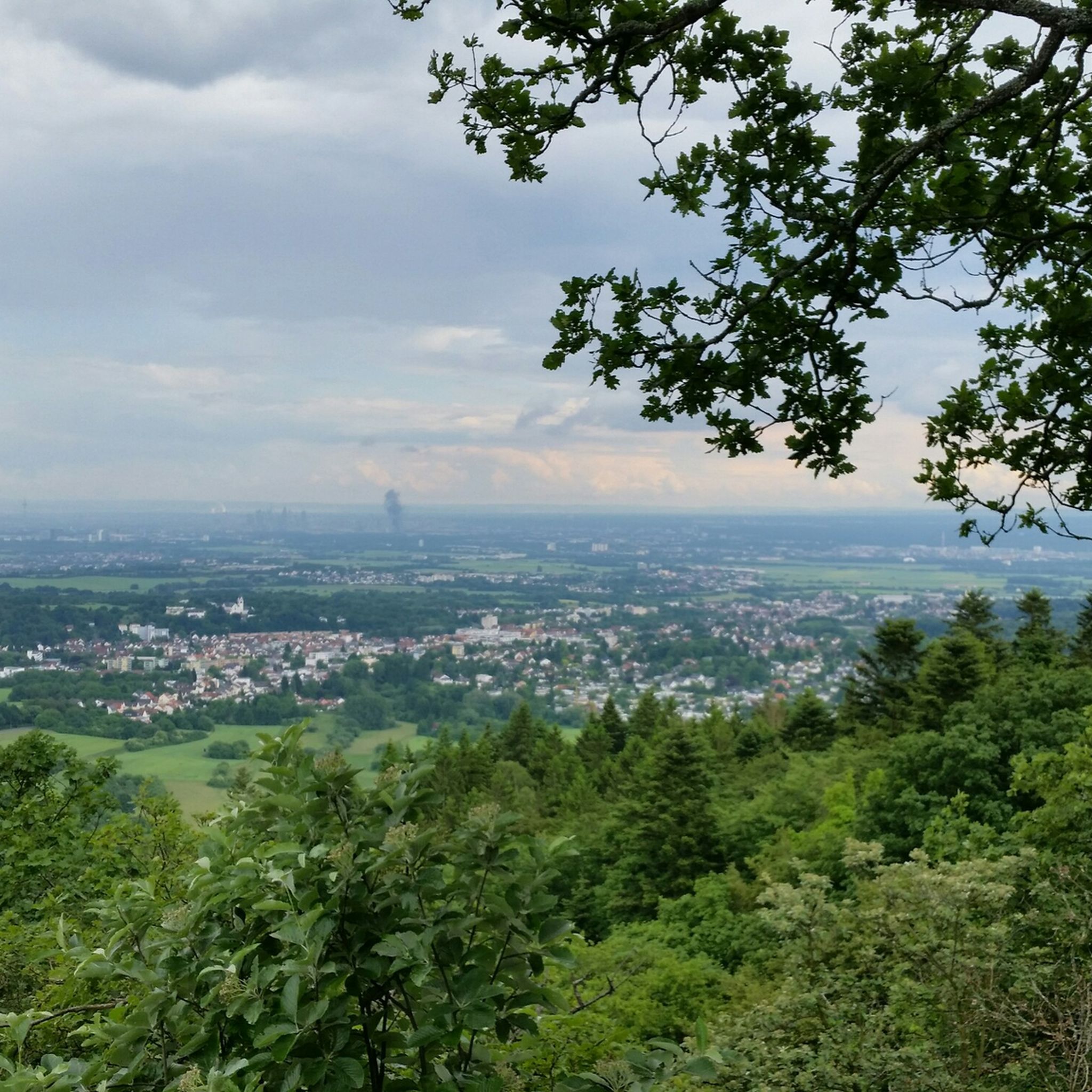
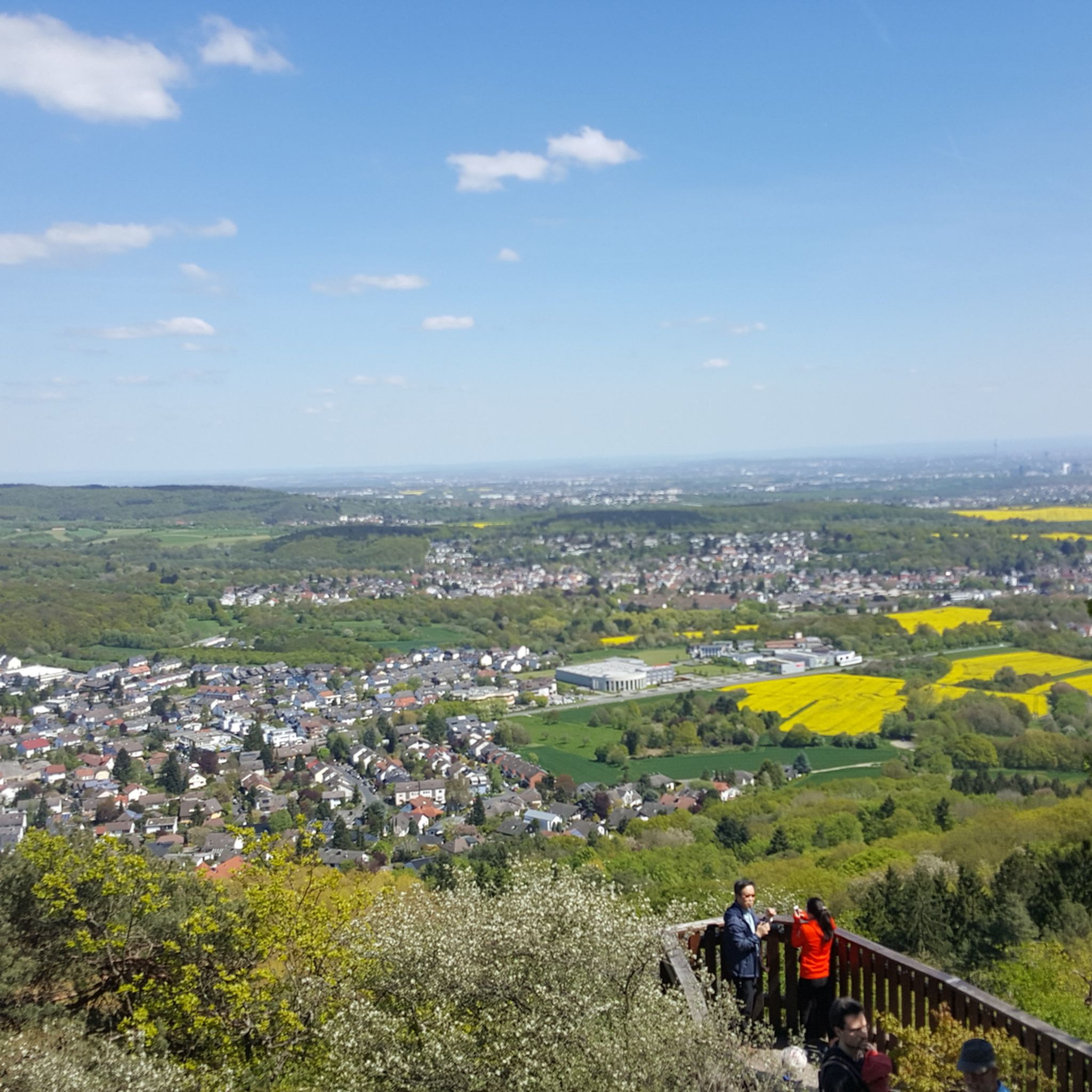
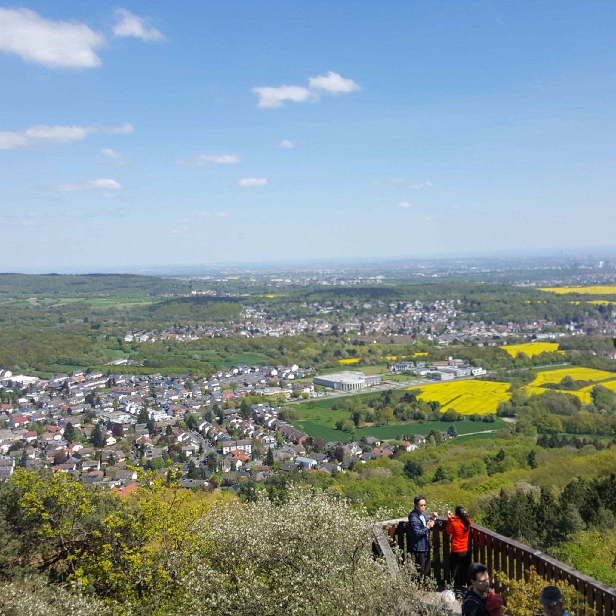
Hikers can discover several natural attractions and viewpoints. The Großer Mannstein (Staufenschwur Lookout) offers vistas of Kelkheim, the Frankfurt skyline, and even the Odenwald on clear days. The Rossert summit is another point of interest. The region also features the Main-Taunus Arboretum and the Kapellenberg Pine Grove for those seeking forest experiences.
Are there any historical landmarks or cultural sites to explore while hiking?
Absolutely. The region is rich in history. You can explore sections of the 750-kilometer Limes Trail (Limeswanderweg), a UNESCO World Heritage site, which reveals Roman watchtowers and forts like the reconstructed Saalburg Roman Fort. Medieval structures such as Eppstein Castle and Kronberg Castle also offer historical insights and often spectacular views.
When is the best time of year to go hiking in Main-Taunus-Kreis?
Hiking in Main-Taunus-Kreis is enjoyable year-round. However, spring and autumn are particularly scenic due to blossoming flowers and vibrant fall foliage. These seasons offer pleasant temperatures and beautiful natural displays, making them ideal for exploring the diverse landscapes.
Are there circular hiking routes available in Main-Taunus-Kreis?
Yes, many hiking routes in Main-Taunus-Kreis are circular, allowing you to start and end at the same point. For example, the Kapellenberg Archaeological Loop is a moderate 12.9 km circular trail. Another option is the Staufen Summit Cairn – Emperor's Temple, Eppstein loop, a moderate 12.4 km route that takes you through varied scenery.
Can I bring my dog on the hiking trails in Main-Taunus-Kreis?
Many trails in Main-Taunus-Kreis are dog-friendly, offering ample opportunities to explore with your canine companion. It's always recommended to keep dogs on a leash, especially in nature protection areas or near wildlife, and to respect local signage regarding pet regulations.
What do other hikers enjoy most about hiking in Main-Taunus-Kreis?
The area is highly rated by the komoot community, with an average score of 4.5 stars from over 12,000 reviews. Hikers often praise the region's diverse landscapes, from dense forests and rolling hills to picturesque river valleys, and the well-maintained network of trails that cater to all ability levels.
How accessible are the hiking trails by public transport or car?
Main-Taunus-Kreis is conveniently located near Frankfurt and is well-connected, making it easily accessible. You can reach many trailheads via regional trains and the S-Bahn. For those traveling by car, numerous routes offer parking facilities nearby, making it simple to start your hike.
Are there any longer, more challenging hikes for experienced hikers?
Yes, for experienced hikers seeking a challenge, there are over 60 difficult routes available. The Richard-Hofmann-Weg is a notable example, a difficult 21.6 km trail with significant elevation changes, typically completed in about 6 hours. These routes often lead through varied terrain and offer rewarding views.
Most popular routes in Main-Taunus-Kreis
Most popular attractions in Main-Taunus-Kreis

Get inspired with the komoot mobile app


Didn’t find what you were looking for?
Check out more Hikes throughout Main-Taunus-Kreis below and find the perfect route in your destination.
Explore more
Browse the best Hikes in other regions.
