The best traffic-free bike rides in Main-Taunus-Kreis
4.5
(1026)
14,716
riders
17
rides
Road cycling in Main-Taunus-Kreis offers diverse terrain, from the challenging climbs of the Taunus mountains to the flatter, well-maintained paths along the Main River. The region features a mix of open fields, forested areas, and picturesque vineyards, providing varied cycling experiences. Its unique geography, bordering both the Taunus and the Main, allows for routes catering to different fitness levels. Cyclists can explore a landscape characterized by rolling hills and riverine panoramas.
Best no traffic road cycling routes in Main-Taunus-Kreis
- The most popular no traffic road cycling route is The Main River at Kostheim – View of Mainz loop from Flörsheim(Main), a 18.8 miles (30.2 km) trail that takes 1 hour 23 minutes to complete. This moderate route follows the Main River, offering views towards Mainz.
- Another top favourite among local road cyclists is View of the Taunus – Lange Meile loop from Eschborn, an easy 18.5 miles (29.8 km) path. This route provides scenic views of the Taunus hills and surrounding landscapes.
- Local road cyclists also love the View of the Feldberg loop from Kelkheim-Hornau, a 24.1 miles (38.8 km) trail leading through the foothills of the Taunus, often completed in about 1 hour 42 minutes.
- Road cycling in Main-Taunus-Kreis is defined by the hilly Taunus mountains, the flat Main River paths, and extensive vineyards. The network offers options for both relaxed rides and more challenging climbs.
- The routes in Main-Taunus-Kreis are highly rated by the komoot community with an average score of 4.5 stars from over 700 reviews. More than 12,000 road cyclists have used komoot to explore Main-Taunus-Kreis's varied terrain.
Last updated: September 4, 2026
4.7
(72)
561
riders
Moderate road ride. Great for any fitness level. Some segments of this route may be unpaved and difficult to ride.
4.5
(22)
162
riders
30.2km
01:16
200m
200m
Easy road ride. Great for any fitness level. Mostly well-paved surfaces and easy to ride.

Sign up for free
5.0
(3)
25
riders
43.8km
02:26
420m
420m
Moderate road ride. Good fitness required. Some segments of this route may be unpaved and difficult to ride.
2.8
(4)
14
riders
34.9km
01:47
290m
300m
Moderate road ride. Great for any fitness level. Some segments of this route may be unpaved and difficult to ride.
22
riders
Easy road ride. Great for any fitness level. Mostly well-paved surfaces and easy to ride.
Get access to more routes and recommendations from other explorers.
Sign up for free
Already have an account?
Our route recommendations are based on thousands of hikes, rides, and runs completed by other people on komoot.
Start today with a free account
Your next adventure awaits.
Login or Signup
Popular around Main-Taunus-Kreis
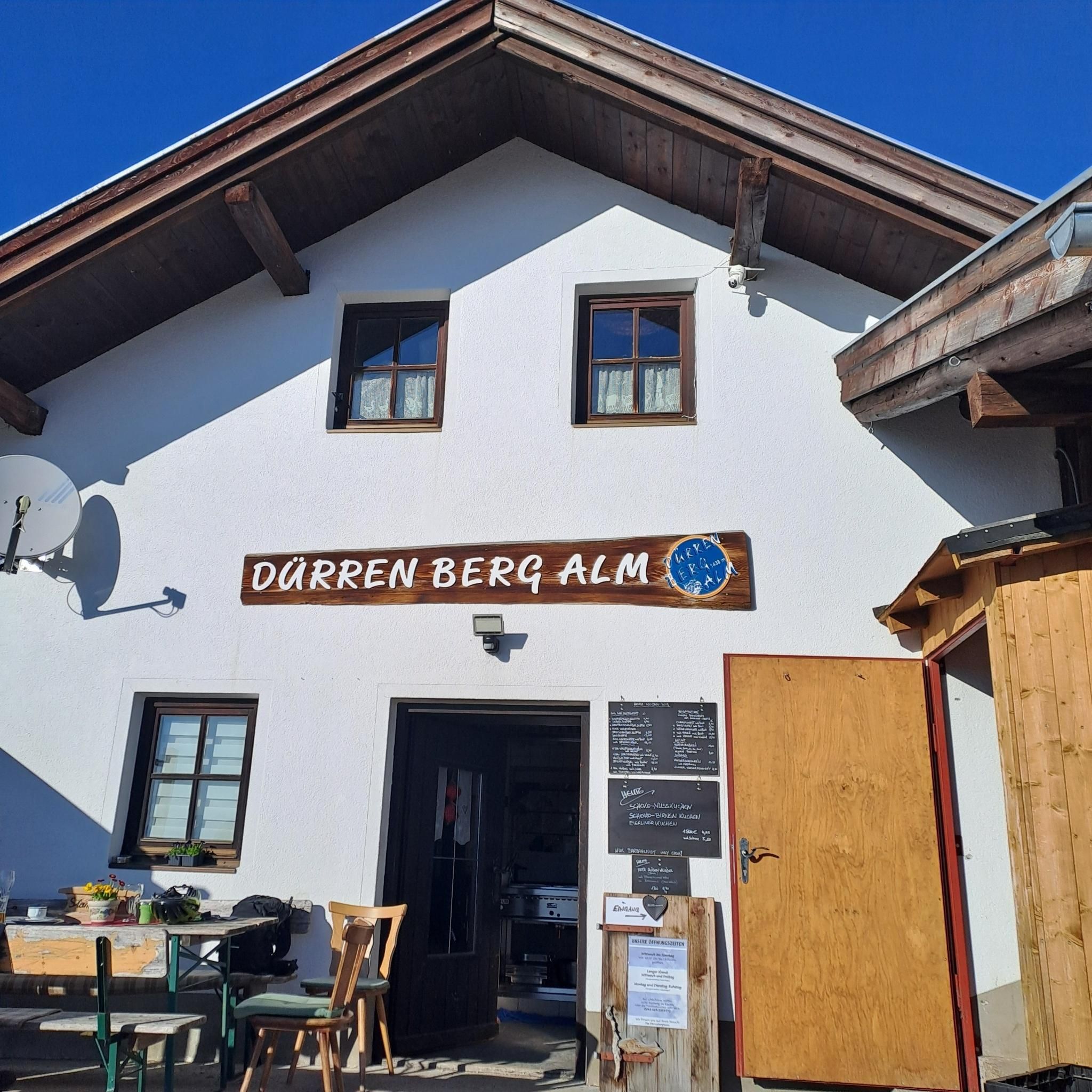
Traffic-free bike rides around Eschborn
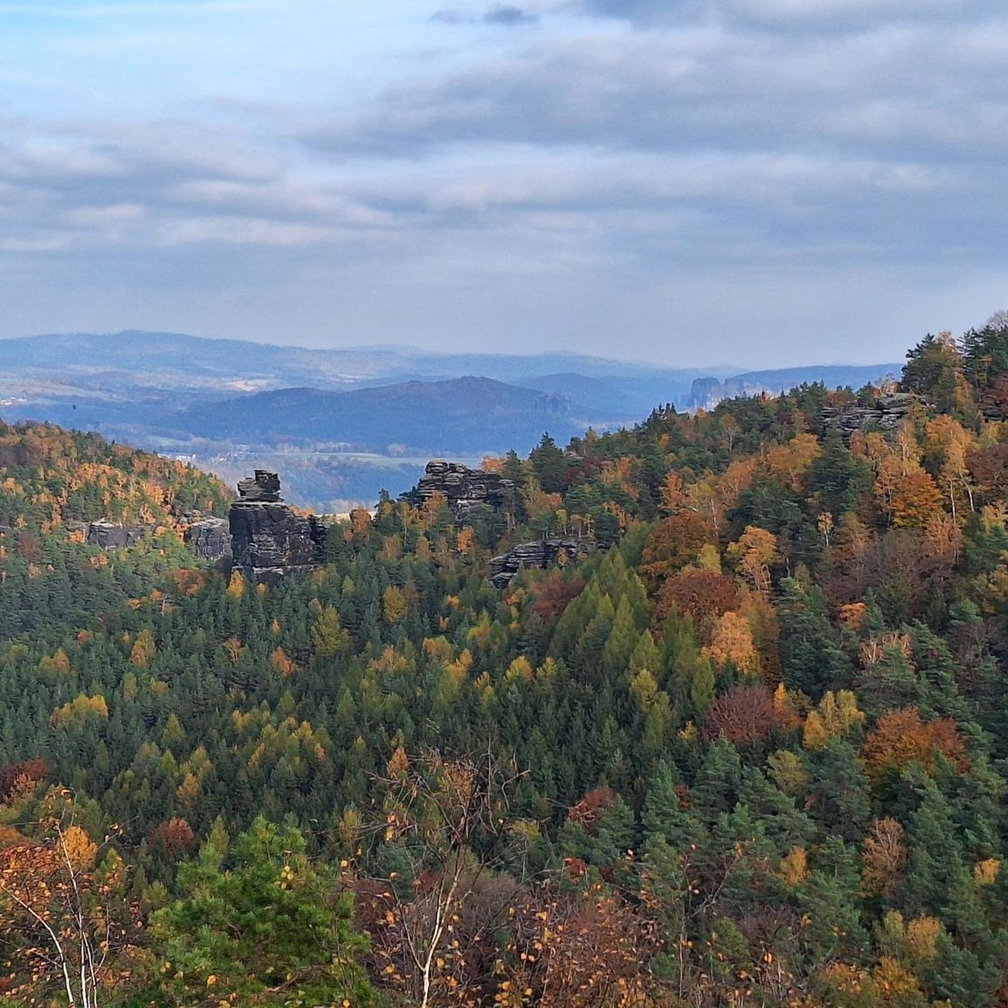
Traffic-free bike rides in Stadtwald Hofheim
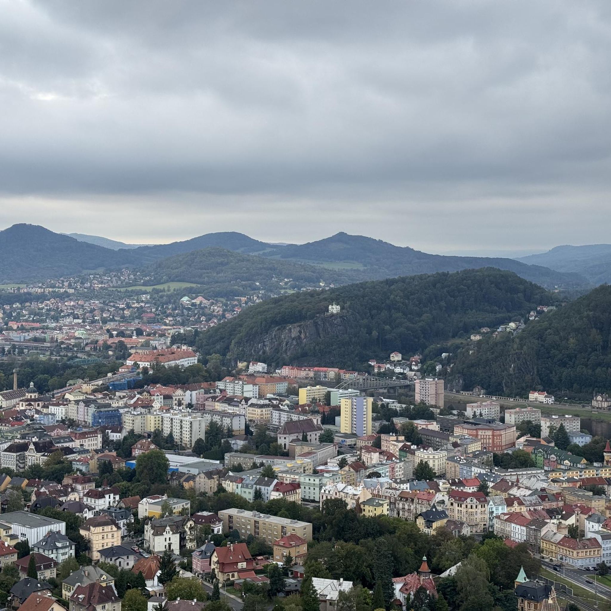
Traffic-free bike rides around Flörsheim

Delightfully scenic hiking in the Taunus range
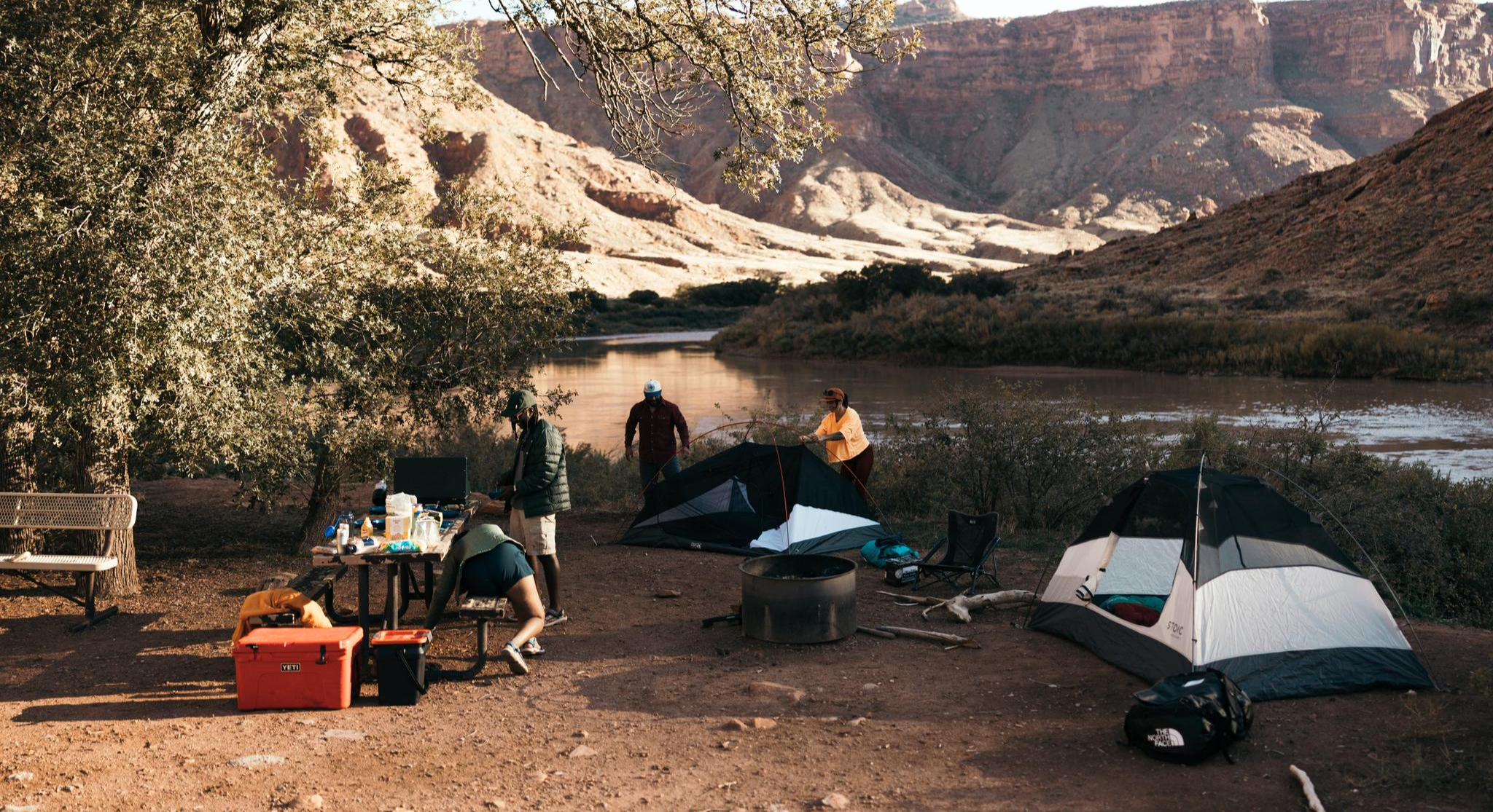
Glamping Adventures on Foot
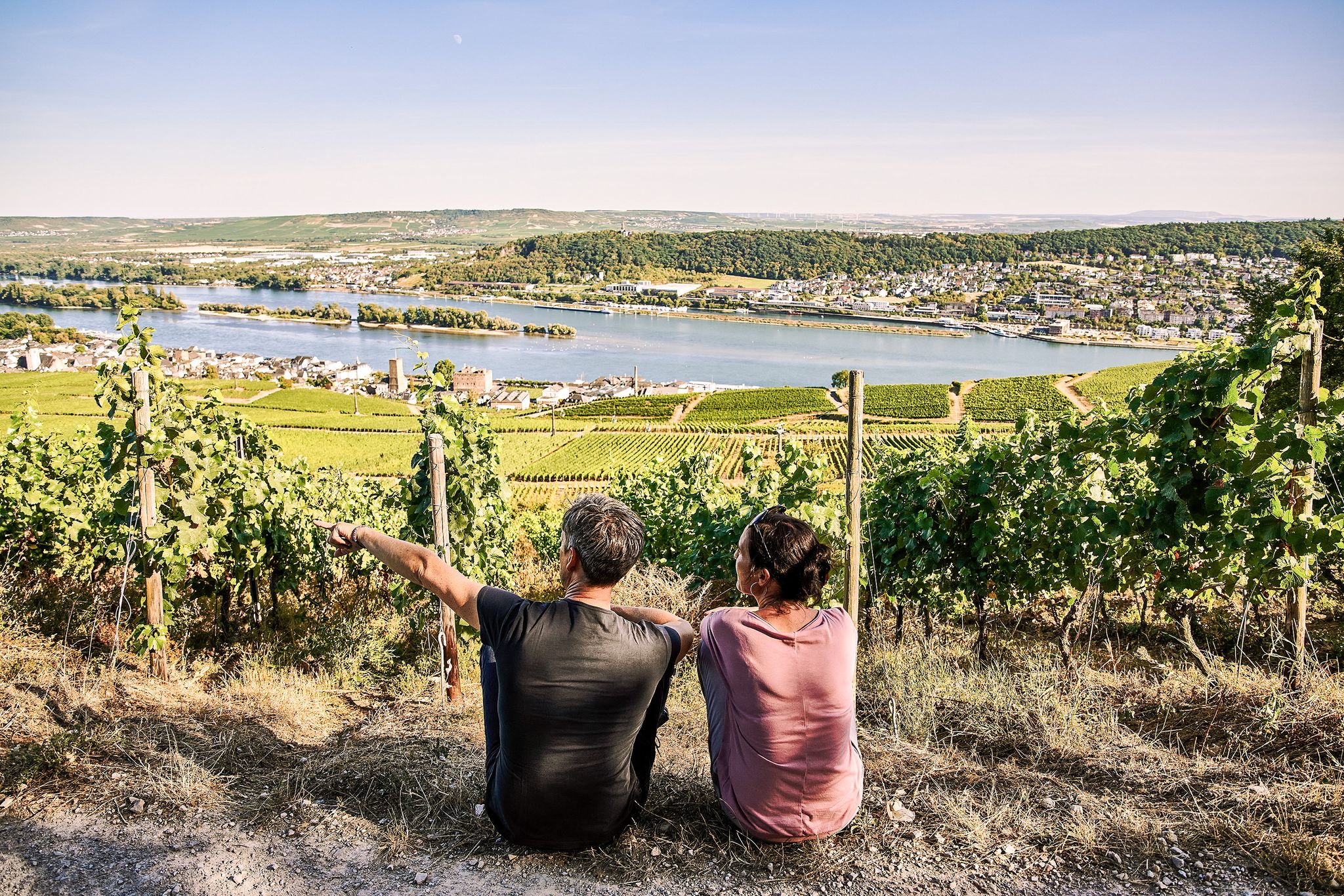
Riesling Loops – 14 routes rich in wine and history

By bike and train into the green - cycling Tours around the EUROBIKE

Orchards, vineyards, taverns – hikes in the RMV area

#GoFurther – discover the views of Germany!
The journey is the adventure – hikes in Germany’s Taunus Mountains
Other adventures in Main-Taunus-Kreis


Tips from the Community

The path on the (northern) bank of the Main estuary is already beautiful, but those who like it a bit nicer will find the detour to the Mainspitze (southern bank) even better.
0
0

Historical Age: The bridge was built around 1877 (twelve years after the harbor opened) and is today considered one of the oldest still preserved swing bridges in all of Germany. For this reason, the steel truss construction is an important cultural monument under strict heritage protection. Technical Dimensions & Function: The structure has a length of 37.50 meters, a width of 4.50 meters, and weighs around 54 tons. The original mechanical rotation mechanism ensured for decades that the bridge could be swung to the side at any water level to allow larger ships to pass into the harbor basin. Modernization: After the historical rotation mechanism was irreparably damaged and jammed in 1996, the bridge was fundamentally reconstructed in 2009. The historical appearance of the top chords was preserved, while the outdated mechanics were replaced by a state-of-the-art hydraulic rotation system. Location & Significance: It connects the Stresemann-Ufer (Old Town side near the Hyatt Hotel) directly with the Victor-Hugo-Ufer on the upstream mole. Today, it serves exclusively as an important, highly frequented connection for pedestrians and cyclists and is an integral part of recreational routes such as the popular Mainzer Drei-Brücken-Weg.
8
1
The Domäne Mechthildshausen near Wiesbaden-Erbenheim is a historic estate with over 800 years of history, which today presents itself as an award-winning ecological model farm. The property is operated by the Wiesbadener Jugendwerkstatt and serves as an important training center, where disadvantaged young people are qualified in professions related to agriculture, crafts, and gastronomy. The heart of the Domäne is consistent organic farming, which operates according to Bioland guidelines. On the extensive grounds, not only grains and vegetables are grown, but also livestock farming with on-site slaughtering is practiced. The special feature lies in the closed value chain: almost all products are further processed directly on-site in our own manufactories. These include a farm bakery, a pastry shop, a cheese dairy, and a butcher shop. For visitors, the estate is a popular excursion destination, as the listed inner courtyard offers an idyllic atmosphere. In the large farm shop, fresh organic products can be purchased, while various gastronomic offerings – from a simple self-service bistro to an upscale restaurant – invite you to stop by. With its stables, fields, and historic architecture, the Domäne Mechthildshausen combines modern nature conservation and social responsibility with traditional rural life.
1
0

Since 1987, the Wiesbaden Youth Workshop has managed the Mechtildshausen estate. This traditional farm, whose roots reach back to the 12th century, is now run as an educational institution where crafts can be learned from the ground up.
1
0

The repair pillar is located next to a bench.
0
0

From the fields near Steinbach and Weißkirchen there is a good view of Frankfurt's skyline and the surrounding area.
0
0
Here you'll find a wooden shelter and a small vineyard. Definitely a nice spot for a break.
18
0
Frequently Asked Questions
How many no traffic road cycling routes are available in Main-Taunus-Kreis?
There are 19 dedicated no traffic road cycling routes in the Main-Taunus-Kreis, offering a variety of distances and difficulty levels. These routes are carefully selected to provide a safe and enjoyable cycling experience away from vehicular traffic.
What kind of terrain can I expect on no traffic road cycling routes in Main-Taunus-Kreis?
The Main-Taunus-Kreis offers a diverse landscape. You'll find flatter, well-maintained paths along the Main River, ideal for relaxed cycling, as well as hilly sections in the Taunus mountains for those seeking more challenging climbs. Many routes also pass through picturesque vineyards, orchards, and open fields, ensuring varied scenery.
Are there any easy, traffic-free road cycling routes suitable for beginners?
Yes, the region offers 6 easy no traffic road cycling routes. These often follow the Main River or traverse gentler landscapes. For example, the View of the Taunus – Lange Meile loop from Eschborn is an easy option, covering nearly 30 km with moderate elevation gain.
Can I find more challenging no traffic road cycling routes in the Main-Taunus-Kreis?
Absolutely. For those looking for more of a challenge, there are 13 moderate no traffic road cycling routes. These routes often venture into the foothills of the Taunus mountains, providing more significant climbs and descents. An example is the Hochheim Vineyards – Igstadt Water Tower loop from Hochheim(Main), which includes over 400 meters of elevation gain.
What are the best seasons for traffic-free road cycling in Main-Taunus-Kreis?
The best seasons for road cycling in Main-Taunus-Kreis are spring (April to June) and autumn (September to October). During these periods, temperatures are mild and the weather conditions are generally pleasant, making them ideal for extended tours. The changing foliage in autumn and blooming landscapes in spring add to the scenic beauty.
Are there any circular no traffic road cycling routes?
Yes, many of the no traffic road cycling routes in Main-Taunus-Kreis are designed as circular loops, allowing you to start and end at the same point. An example is The Main River at Kostheim – View of Mainz loop from Flörsheim(Main), which offers a scenic circular tour along the river.
What interesting landmarks or attractions can I see along these routes?
The routes often pass by a variety of attractions. You might encounter historic buildings like Eppstein Castle, or enjoy panoramic views from spots like Großer Mannstein (Staufenschwur Lookout). The region also features charming villages, vineyards, and the unique Atzelberg Telecommunication Tower. Many routes also offer views of the Frankfurt skyline.
Are there family-friendly traffic-free cycling options?
Yes, the flatter sections along the Main River are particularly suitable for families. These paths are generally well-maintained and offer a safe environment away from traffic. Look for routes categorized as 'easy' in the guide, as these typically have less elevation and are more manageable for all ages.
Where can I park my car when starting a no traffic road cycling route?
Parking availability varies by starting point. Many towns and villages along the Main River and within the Taunus region offer public parking facilities. For routes starting in specific towns like Flörsheim or Hochheim, you can often find designated parking areas close to the river or town centers, providing convenient access to the traffic-free paths.
What do other road cyclists enjoy most about road cycling in Main-Taunus-Kreis?
The Main-Taunus-Kreis is highly rated by the komoot community, with an average score of 4.5 stars. Reviewers often praise the diverse landscapes, from the tranquil river paths to the challenging Taunus climbs, and the opportunity to cycle through picturesque vineyards and charming villages. The availability of dedicated no traffic routes is also a frequently highlighted positive aspect.
Are there any long-distance no traffic road cycling routes?
While many routes are designed for day trips, some can be combined or are part of longer regional networks. For instance, the Stangenpyramide Dreieich – Works Bridge West loop from Flörsheim(Main) is a moderate route spanning over 100 km, offering a significant distance for experienced cyclists seeking an extended traffic-free experience.
Most popular routes in Main-Taunus-Kreis
Most popular attractions in Main-Taunus-Kreis

Get inspired with the komoot mobile app


Didn’t find what you were looking for?
Check out more Road cycling routes throughout Main-Taunus-Kreis below and find the perfect route in your destination.
Explore more
Browse the best Road cycling routes in other regions.
