The best cycling routes in Main-Taunus-Kreis
4.5
(5934)
31,583
riders
799
rides
Touring cycling in Main-Taunus-Kreis offers a diverse landscape for exploration. The region is characterized by the Main river, its tributaries like the Nidda, and the foothills of the Taunus mountains. Terrain varies from flat riverside paths along the Main to more undulating routes through valleys and into the lower hills. This area provides a mix of natural scenery and urban-adjacent cycling opportunities.
Best touring cycling routes in Main-Taunus-Kreis
- The most popular touring cycling route is Streichwehr Sossenheim – Nidda River…
Last updated: August 25, 2026
4.7
(690)
2,220
riders
73.3km
04:27
300m
300m
Hard bike ride. Good fitness required. You may need to push your bike for some segments of this route.
4.6
(136)
745
riders
41.7km
02:30
160m
160m
Moderate bike ride. Good fitness required. Mostly paved surfaces. Suitable for all skill levels.

Sign up for free
4.7
(83)
241
riders
Moderate bike ride. Good fitness required. Mostly paved surfaces. Suitable for all skill levels.
4.7
(66)
316
riders
30.9km
02:01
130m
130m
Moderate bike ride. Good fitness required. Mostly paved surfaces. Suitable for all skill levels.
4.6
(107)
268
riders
Easy bike ride. Great for any fitness level. Mostly paved surfaces. Suitable for all skill levels.
4.5
(23)
309
riders
48.9km
03:27
910m
900m
Hard bike ride. Very good fitness required. Mostly paved surfaces. Suitable for all skill levels.
4.6
(41)
341
riders
39.0km
03:17
760m
760m
Hard bike ride. Very good fitness required. You may need to push your bike for some segments of this route.
4.5
(71)
293
riders
Easy bike ride. Great for any fitness level. Mostly paved surfaces. Suitable for all skill levels.
4.2
(49)
277
riders
17.7km
01:06
110m
110m
Easy bike ride. Great for any fitness level. Mostly paved surfaces. Suitable for all skill levels.
4.6
(57)
183
riders
31.7km
02:21
470m
470m
Hard bike ride. Very good fitness required. Mostly paved surfaces. Suitable for all skill levels.
Get access to more routes and recommendations from other explorers.
Sign up for free
Already have an account?
Our route recommendations are based on thousands of hikes, rides, and runs completed by other people on komoot.
Start today with a free account
Your next adventure awaits.
Login or Signup
Popular around Main-Taunus-Kreis
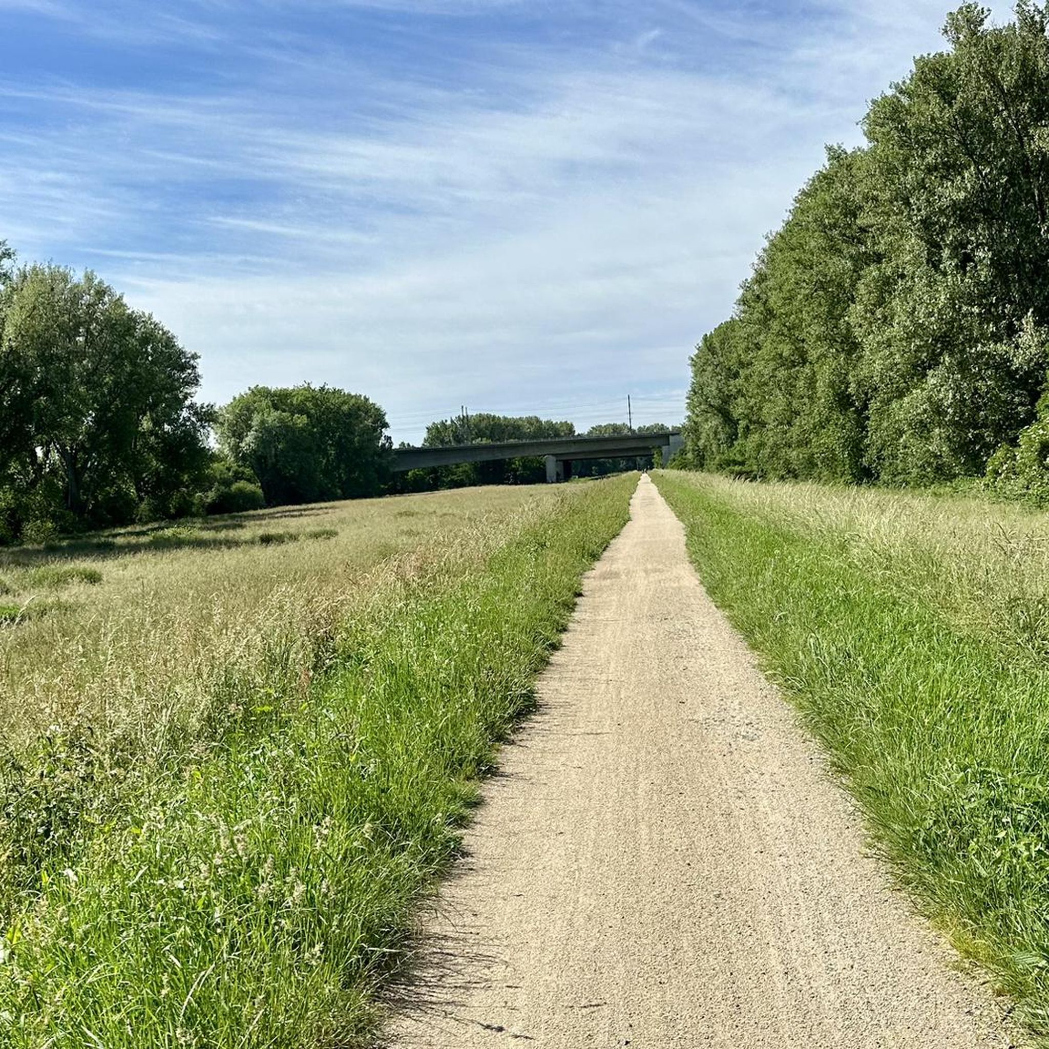
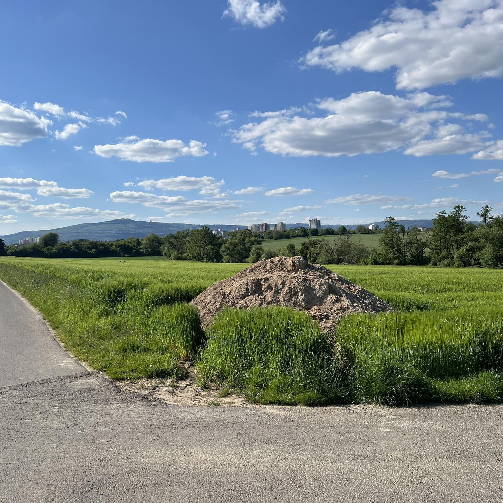
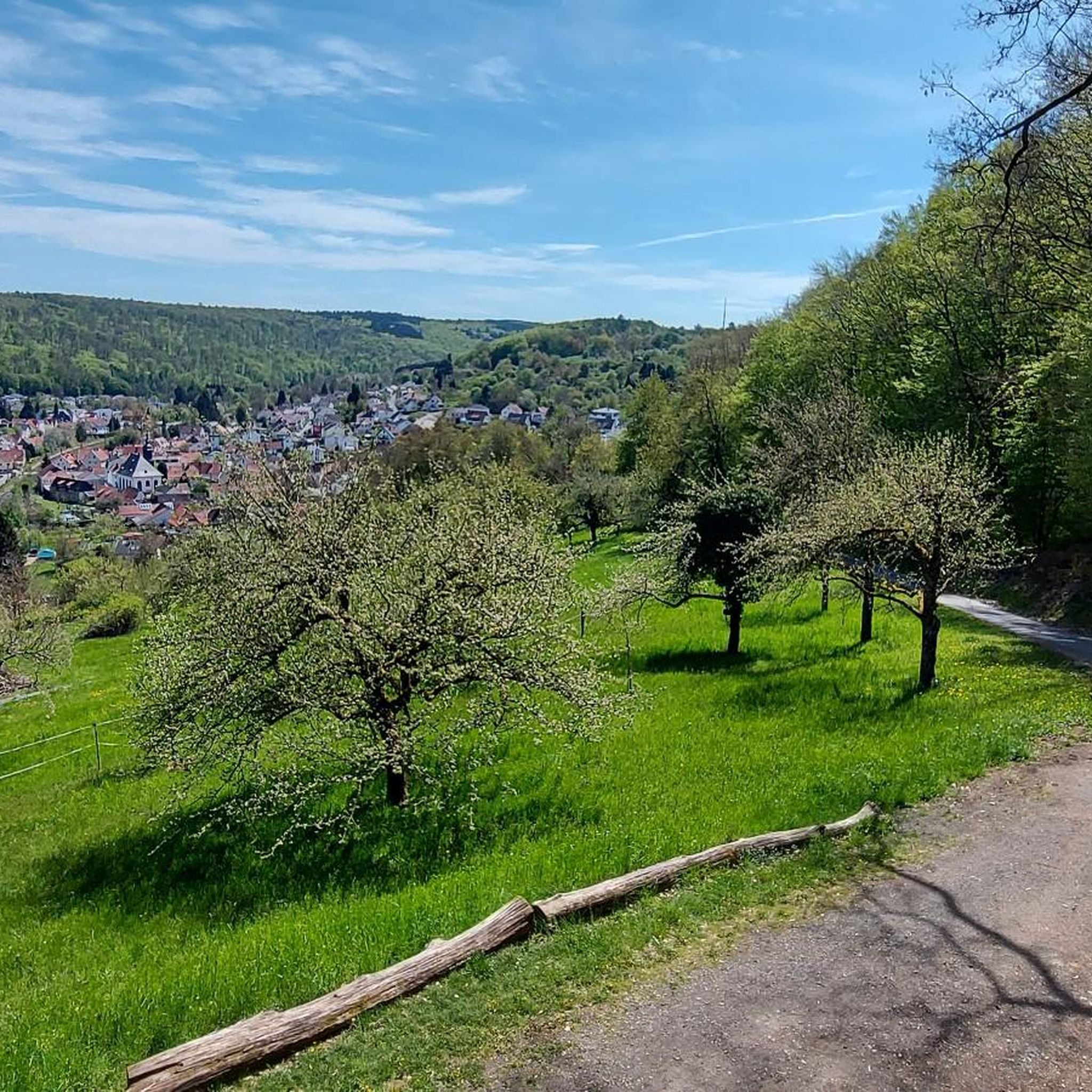
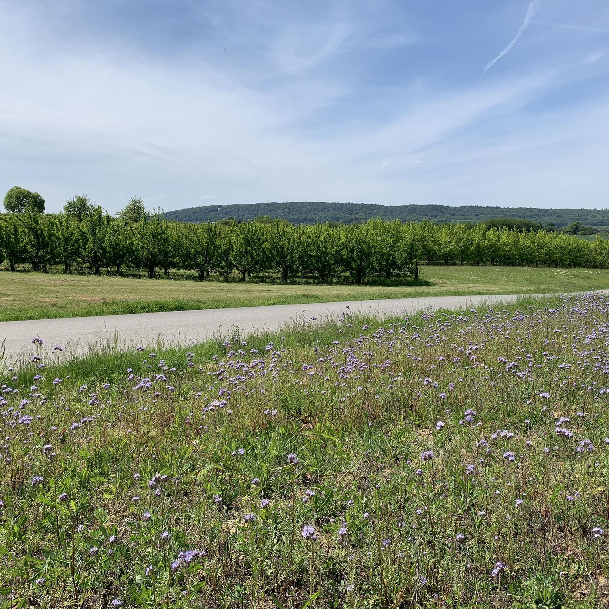
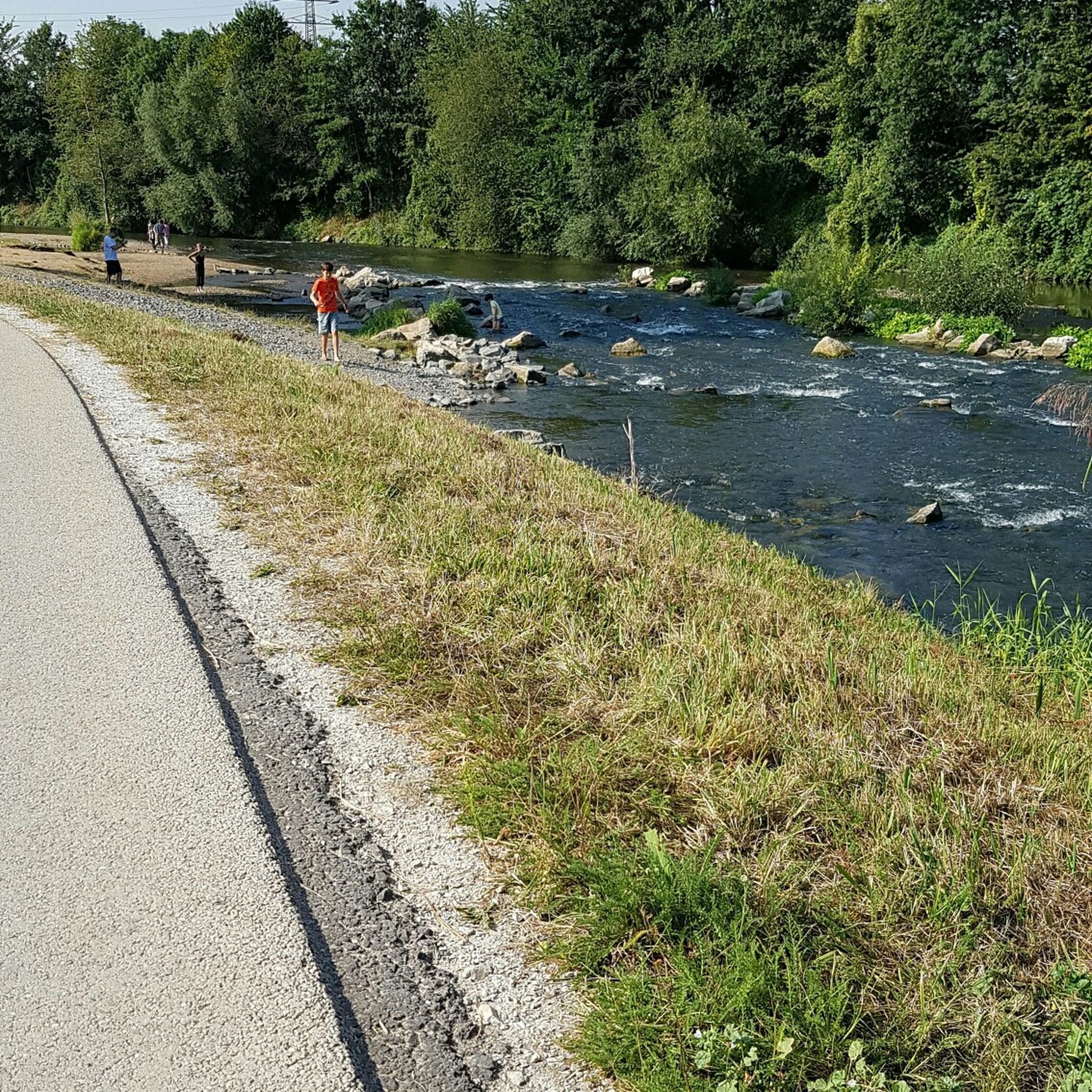
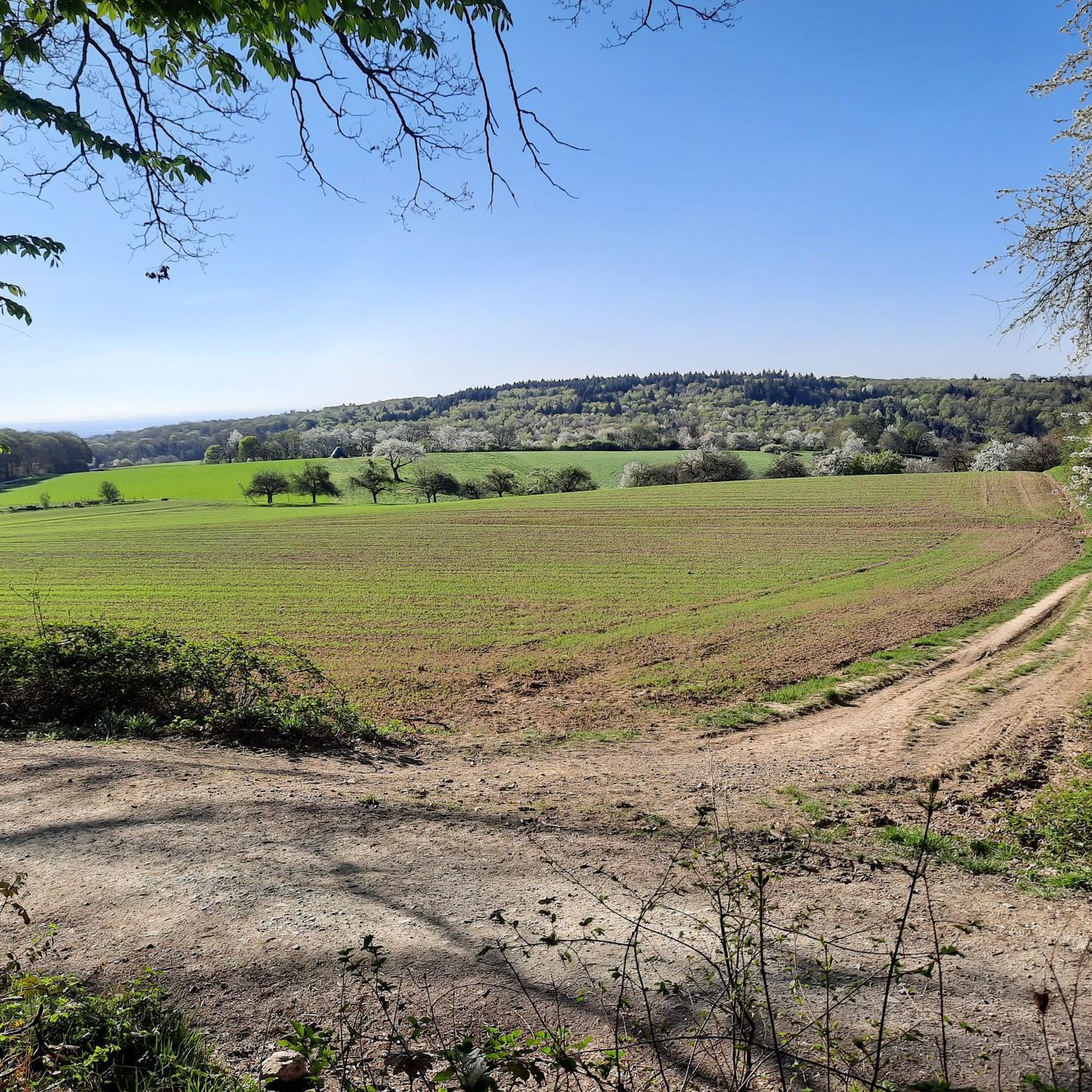
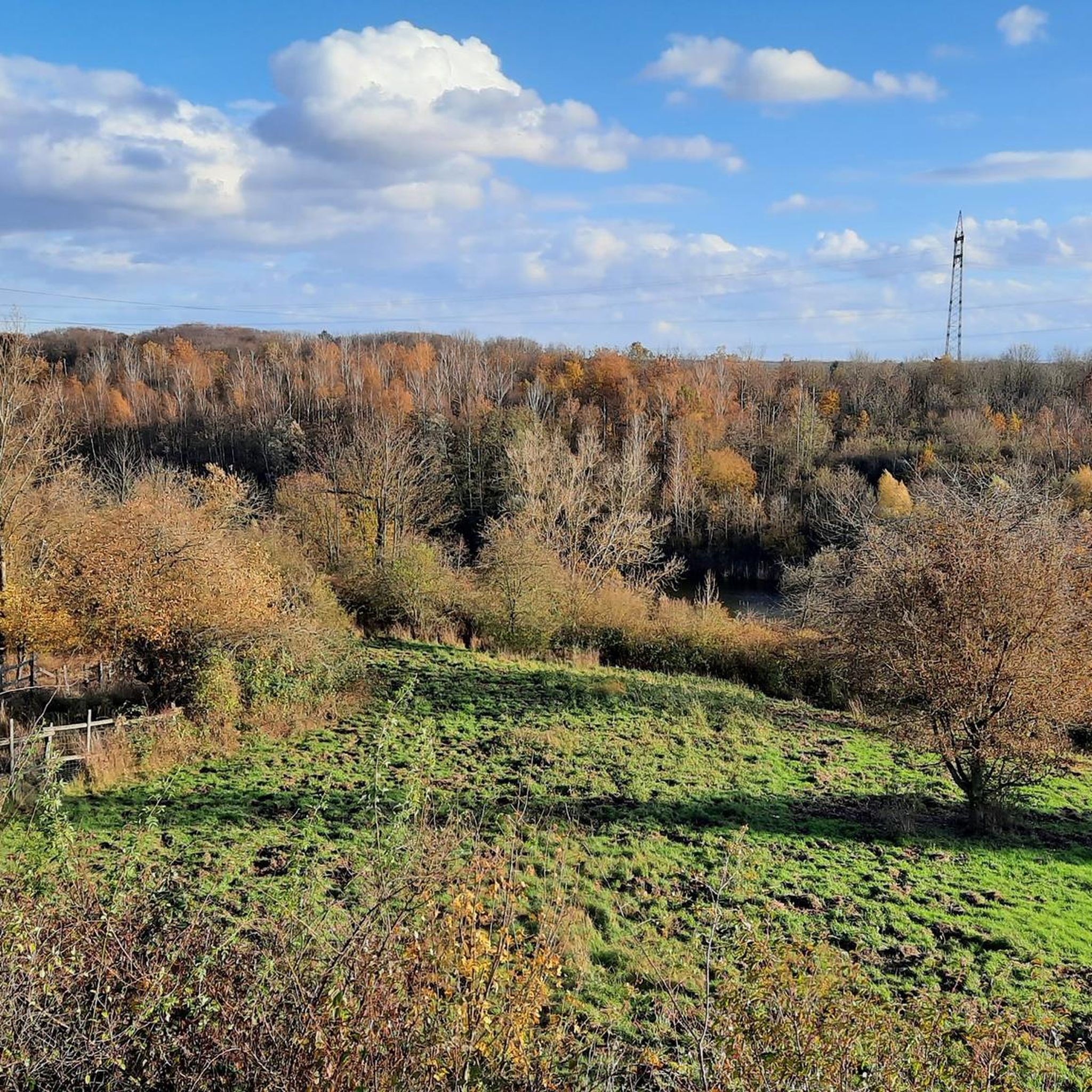
Other adventures in Main-Taunus-Kreis


Tips from the Community

5 WebsitesThe geographically correct name of the body of water, which originates in the immediate vicinity of the Spatzenwiese and the Fuchstanz, is Emsbach (often shortened to "die Ems" in local parlance). This Mittelgebirge stream is a significant, almost 40-kilometer-long left tributary of the Lahn and should not be confused with the well-known, large North German river Ems. The Emsbach originates in a damp forest area just below the Kleiner Feldberg in the Hohe Taunus, not far from the Rotes Kreuz hiking junction and the Fuchstanz. The official main spring, idyllically located in the forest, is historically also referred to as Seelborn and is located directly on the Bornstedtweg as well as near the intersection of the Grüner Weg with the Falkensteiner Pfad.From this high-lying source area, the young stream initially flows downhill in a northerly direction, feeding, among other things, the region's drinking water reservoirs and passing through the municipality of Schmitten and the district of Arnoldshain. Further on, the Emsbach leaves the Hochtaunus and crosses the fertile agricultural landscape of the so-called Goldenen Grund, where it flows through Bad Camberg, among other places. On its way, it receives numerous other small Taunus streams such as the Wörsbach before finally flowing into the Lahn near Eschhofen, close to Limburg an der Lahn, after almost 40 kilometers. For nature enthusiasts and hikers, the wooded upper Emsbach valley represents a particularly pristine recreational area, and the contained Emsbach spring is considered a popular, refreshing stopover on the hiking routes around the Altkönig.
0
0

Details of the conversionNew weir: An approximately 70-meter-long, slightly curved weir directs water into the Grill's old riverbed.Sill and ramp: In the main bed of the Nidda, a rough stone embankment (sill ramp) ensures natural height equalization.Fish passage: New fish ladders enable fish to pass unhindered from the Main to the upper Nidda.
0
0
Completion: The redevelopment work by Frankfurt's drainage department was officially completed in August 2025 after two and a half years of construction.
0
0
New weir: An approximately 70-meter-long, slightly curved weir diverts water into the Grill's old arm. Rock ramp and slide: In the main riverbed of the Nidda, a rough stone embankment (rock ramp) ensures natural height equalization. Fish ladder: New fish ladders enable fish to pass unimpeded from the Main to the upper Nidda.
0
0
The Sossenheimer weir on the Nidda has been converted into a nature- and fish-passable weir with a bottom slide and fish ladders.
1
0

This is not just a weir, but a sliding weir
0
0

The route is one of my favorites for several reasons. a) Great view, b) quiet c) practically always in the sun during the day (if the clouds play along).
0
0

It's simply great that something has also been done here along the Nidda regarding "re-naturalization".
1
0
Frequently Asked Questions
What kind of terrain can I expect when touring cycling in Main-Taunus-Kreis?
Main-Taunus-Kreis offers a varied landscape for touring cyclists. You'll find flat riverside paths along the Main and Nidda rivers, as well as more undulating routes through valleys and into the lower foothills of the Taunus mountains. This mix provides options for both relaxed rides and more challenging ascents.
Are there easy touring cycling routes suitable for beginners or families in Main-Taunus-Kreis?
Yes, Main-Taunus-Kreis has over 320 easy touring cycling routes. A great option for a relaxed ride is the Streichwehr Sossenheim – Arboretum Main-Taunus loop from Schwalbach Nord, which is 16.1 miles (25.9 km) long and takes about 2 hours to complete. Another easy route is the Mainradweg Near Flörsheim – Hochheim Riverside Cycle Path loop from Eddersheim, offering pleasant riverside cycling.
Where can I find more challenging touring cycling routes in the region?
For experienced touring cyclists seeking a challenge, Main-Taunus-Kreis features over 210 difficult routes. Consider the demanding Streichwehr Sossenheim – Nidda River Landscape loop from Hattersheim (Main), a 45.9 miles (73.9 km) trail with significant elevation gain. Another option is the Brunhildis Rock – Summit Cross of the Großer Feldberg loop from Kelkheim, which includes substantial climbs into the Taunus mountains.
Are there any circular touring cycling routes available?
Many touring cycling routes in Main-Taunus-Kreis are designed as loops, allowing you to start and end at the same point. For example, the Mainradweg Near Flörsheim – Flörsheimer Watchtower loop from Kriftel is a moderate 19.2 miles (30.9 km) circular path along the Mainradweg. Another popular loop is the Höchst Riverside Promenade – Sulzbach Valley loop from Bad Soden.
What are some scenic viewpoints or landmarks I can visit along the cycling routes?
The region offers several scenic spots. You can enjoy views of the Frankfurt skyline on routes like the View of the Frankfurt skyline – View of Feldberg loop from Niederhöchstadt. For natural landmarks, you might encounter highlights such as the Hohler Stein near Ruppertshain or the Gagern Cave. The Hundertwasser House Bad Soden – Old Town of Hofheim am Taunus loop from Bad Soden also passes by interesting architecture and historical towns.
What is the best time of year for touring cycling in Main-Taunus-Kreis?
The spring, summer, and early autumn months (April to October) generally offer the most pleasant conditions for touring cycling in Main-Taunus-Kreis, with milder temperatures and less precipitation. The riverside paths are particularly enjoyable during these seasons. While winter cycling is possible, some higher routes in the Taunus foothills might be less accessible due to weather.
Are there options for parking near the cycling routes?
Yes, many towns and starting points for routes in Main-Taunus-Kreis offer public parking facilities. For routes along the Mainradweg, you can often find parking in riverside communities like Hattersheim, Kriftel, or Flörsheim. When planning your tour, it's advisable to check specific parking options for your chosen starting point.
Can I access touring cycling routes using public transport?
Main-Taunus-Kreis is well-connected by public transport, including regional trains and buses, which can often accommodate bicycles outside of peak hours. Many towns that serve as route starting points, such as Bad Soden, Hofheim, or Hattersheim, have train stations, making it convenient to reach the routes without a car.
What do other touring cyclists say about the routes in Main-Taunus-Kreis?
The touring cycling routes in Main-Taunus-Kreis are highly regarded by the komoot community, with an impressive average rating of 4.5 stars from over 5,000 reviews. Cyclists frequently praise the diverse scenery, well-maintained paths, and the variety of options ranging from flat river trails to more challenging climbs into the Taunus hills.
Are there any routes that offer views of the Frankfurt skyline?
Yes, several routes provide excellent views of the Frankfurt skyline, especially from elevated points in the Taunus foothills. The View of Frankfurt Skyline – Liederbach Corn Maze loop from Kriftel is a shorter, easy route that offers such vistas, combining natural landscapes with urban panoramas.
How many touring cycling routes are available in Main-Taunus-Kreis?
There are over 800 touring cycling routes available in Main-Taunus-Kreis, catering to all skill levels. This includes more than 320 easy routes, nearly 300 moderate routes, and over 210 difficult routes, ensuring a wide variety of options for every cyclist.
Most popular routes in Main-Taunus-Kreis
Most popular attractions in Main-Taunus-Kreis

Get inspired with the komoot mobile app


Didn’t find what you were looking for?
Check out more Cycling routes throughout Main-Taunus-Kreis below and find the perfect route in your destination.
Explore more
Browse the best Cycling routes in other regions.
