Top 3 Mountain Passes around Parco Naturale Regionale dei Monti Simbruini
Best mountain passes around Parco Naturale Regionale dei Monti Simbruini are located within a protected area in the Italian Apennines, spanning Lazio and Abruzzo. This region features diverse landscapes, including extensive beech woodlands and karstic plateaus. The park is known for its mountainous terrain and serves as a watershed between river basins. It offers various routes for exploration and outdoor activities.
Best mountain passes around Parco Naturale Regionale dei Monti Simbruini
- The most popular mountain passes is Passo delle Pecore…
Last updated: July 10, 2026
Monna della Forcina Meadow
Highlight • Natural
Translated by Google •
Tip by

Passo Procoio (Breccoji)
Highlight • Mountain Pass
Translated by Google •
Tip by

Sign up now to discover places like this
Get recommendations on the best single tracks, peaks, & plenty of other exciting outdoor places.
Sign up for free
Passo delle Pecore
Highlight • Mountain Pass
Translated by Google •
Tip by
Serra Sant'Antonio Pass
Highlight • Mountain Pass
Translated by Google •
Tip by

Colle dell'Arena Bianca
Highlight • Mountain Pass
Translated by Google •
Tip by
Start today with a free account
Your next adventure awaits.
Login or Signup
Popular around Parco Naturale Regionale dei Monti Simbruini
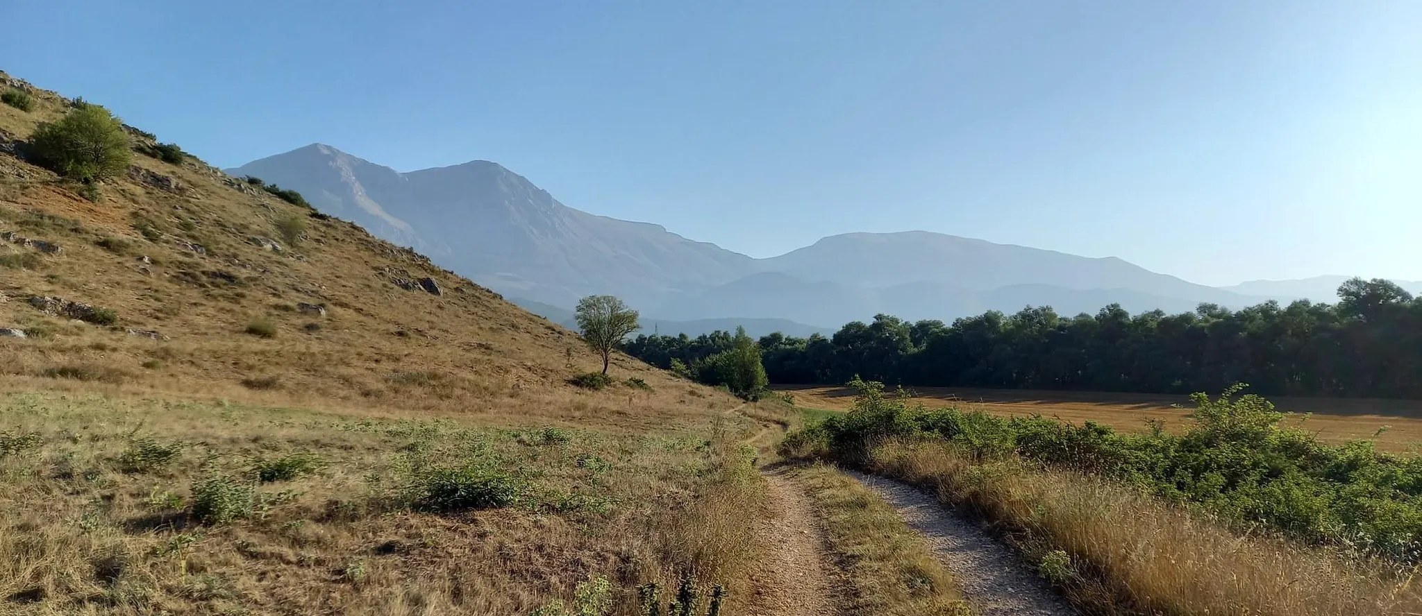
Hike from Rome to the Adriatic Sea – Way of St. Thomas
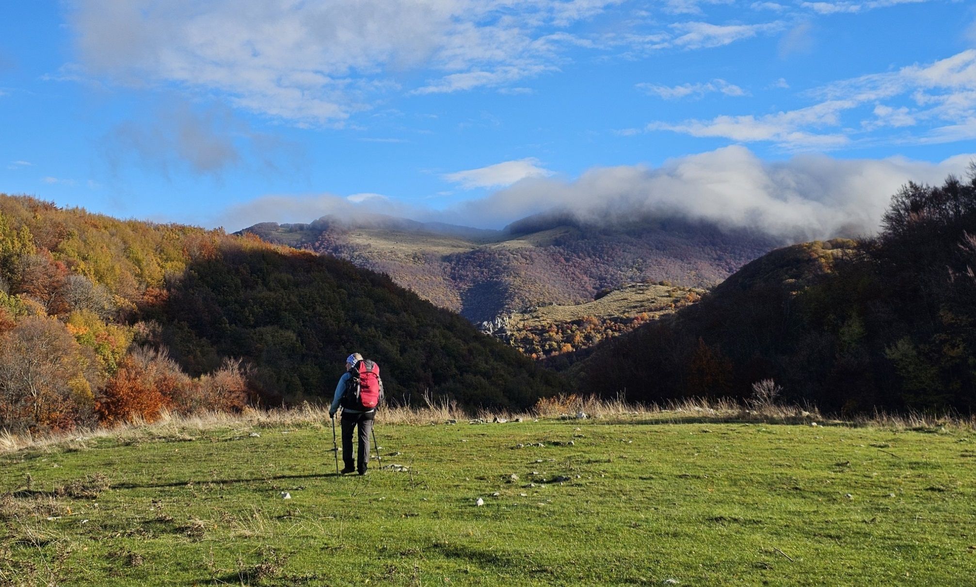
A colourful journey – hike in the Simbruini Mountains
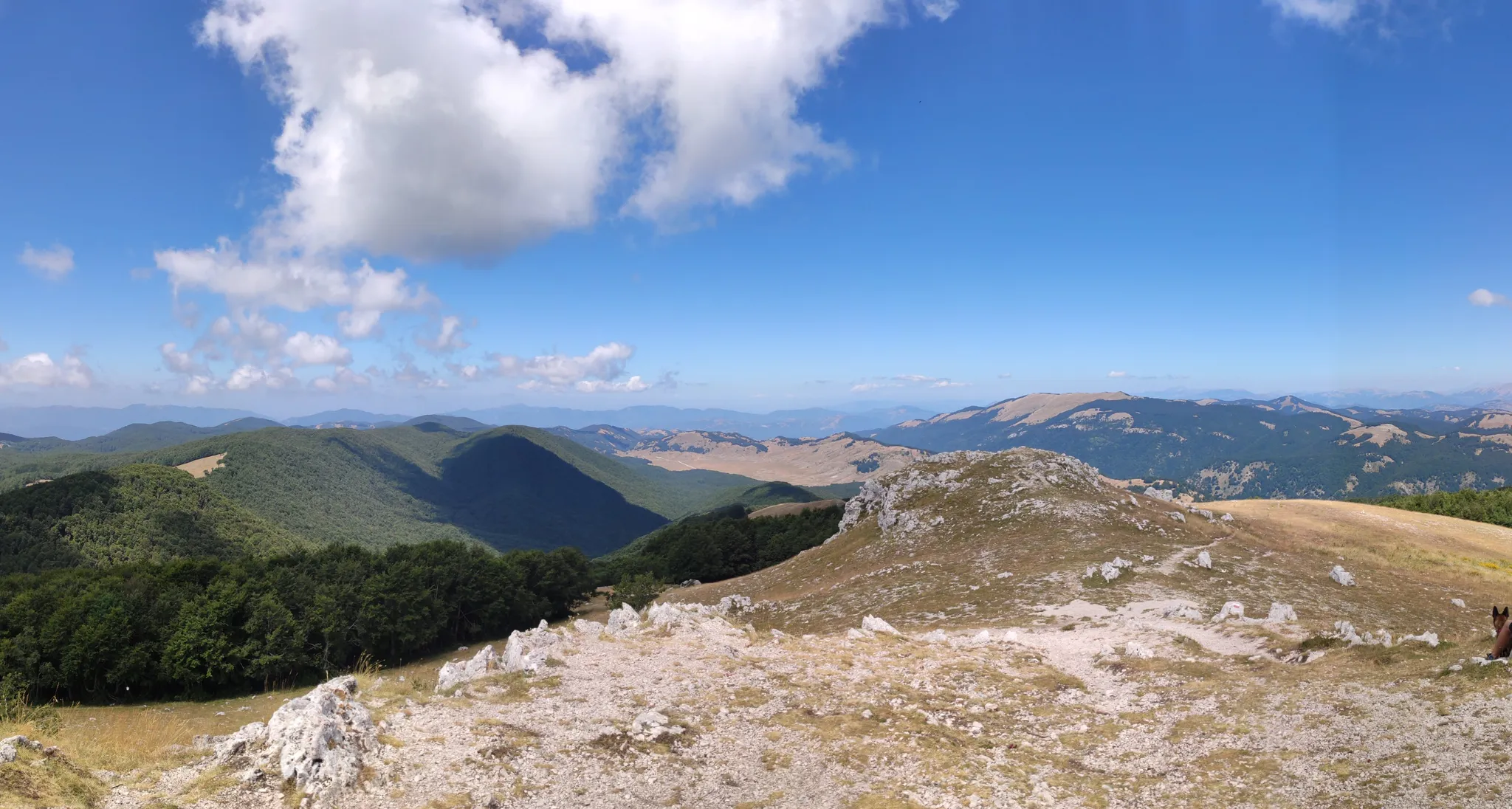
Cammino Naturale dei Parchi – Part 2 Livata to Corvaro
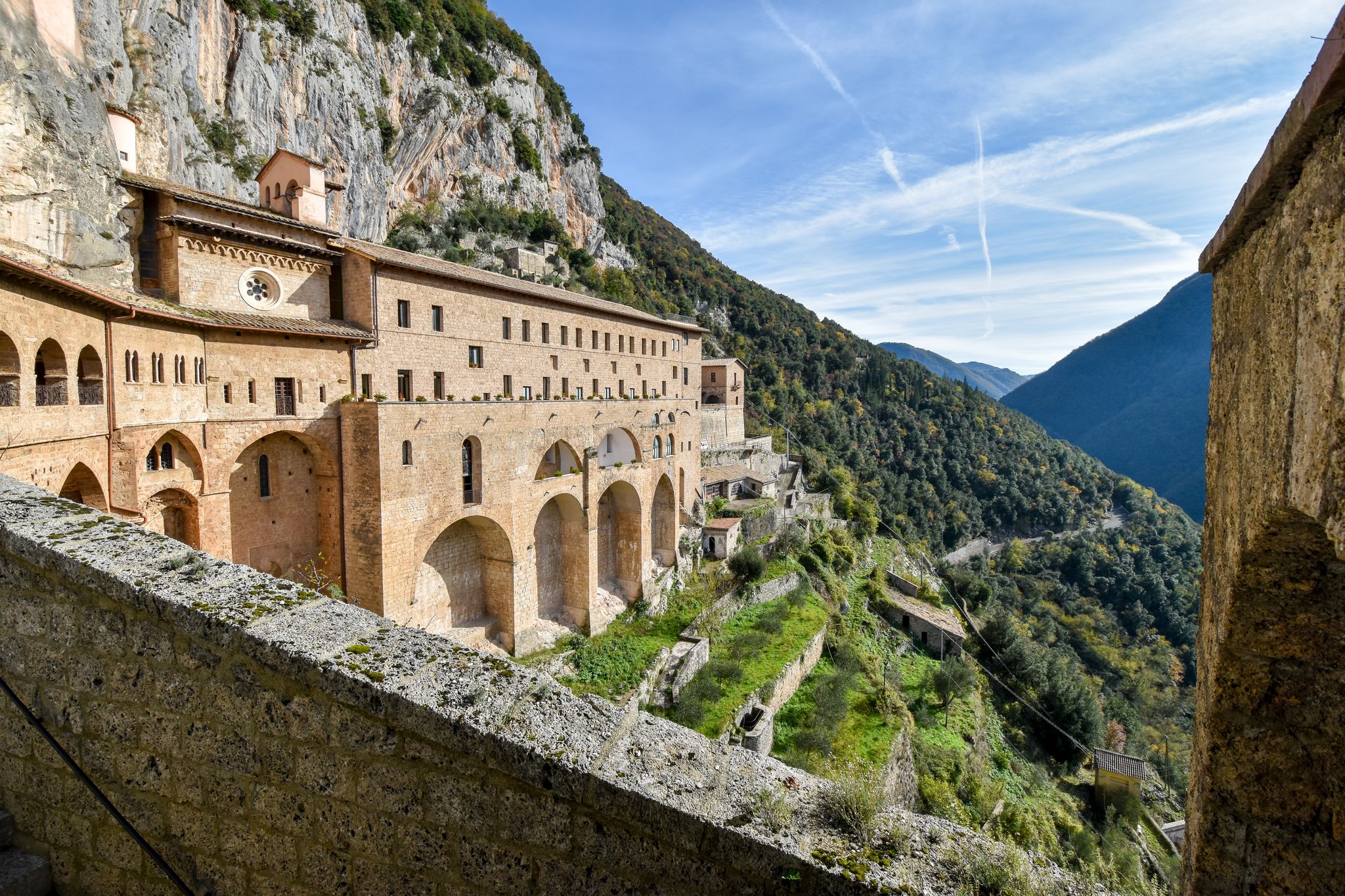
In the Footsteps of Saint Benedict - The Benedict Way
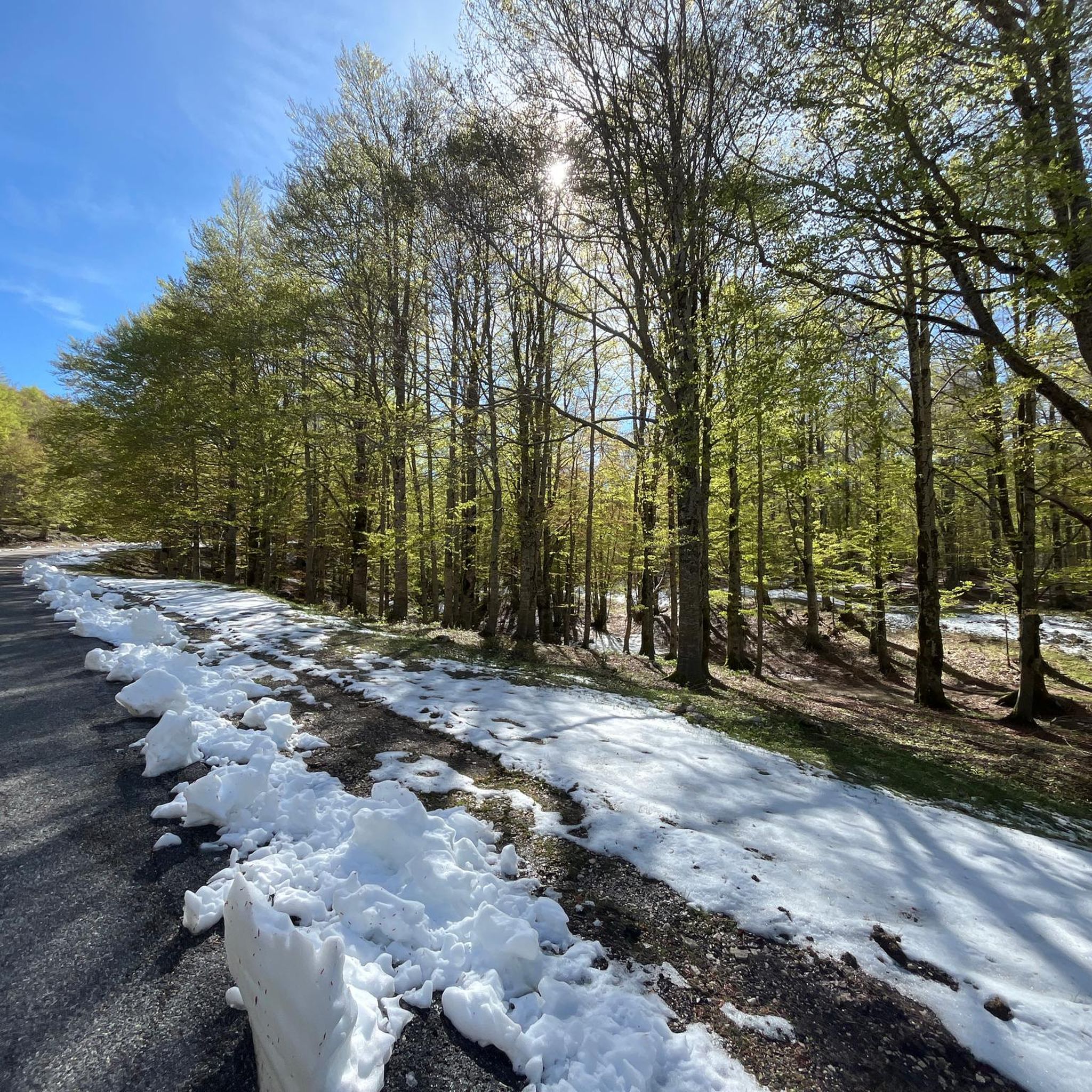
Cycling around Parco Naturale Regionale dei Monti Simbruini
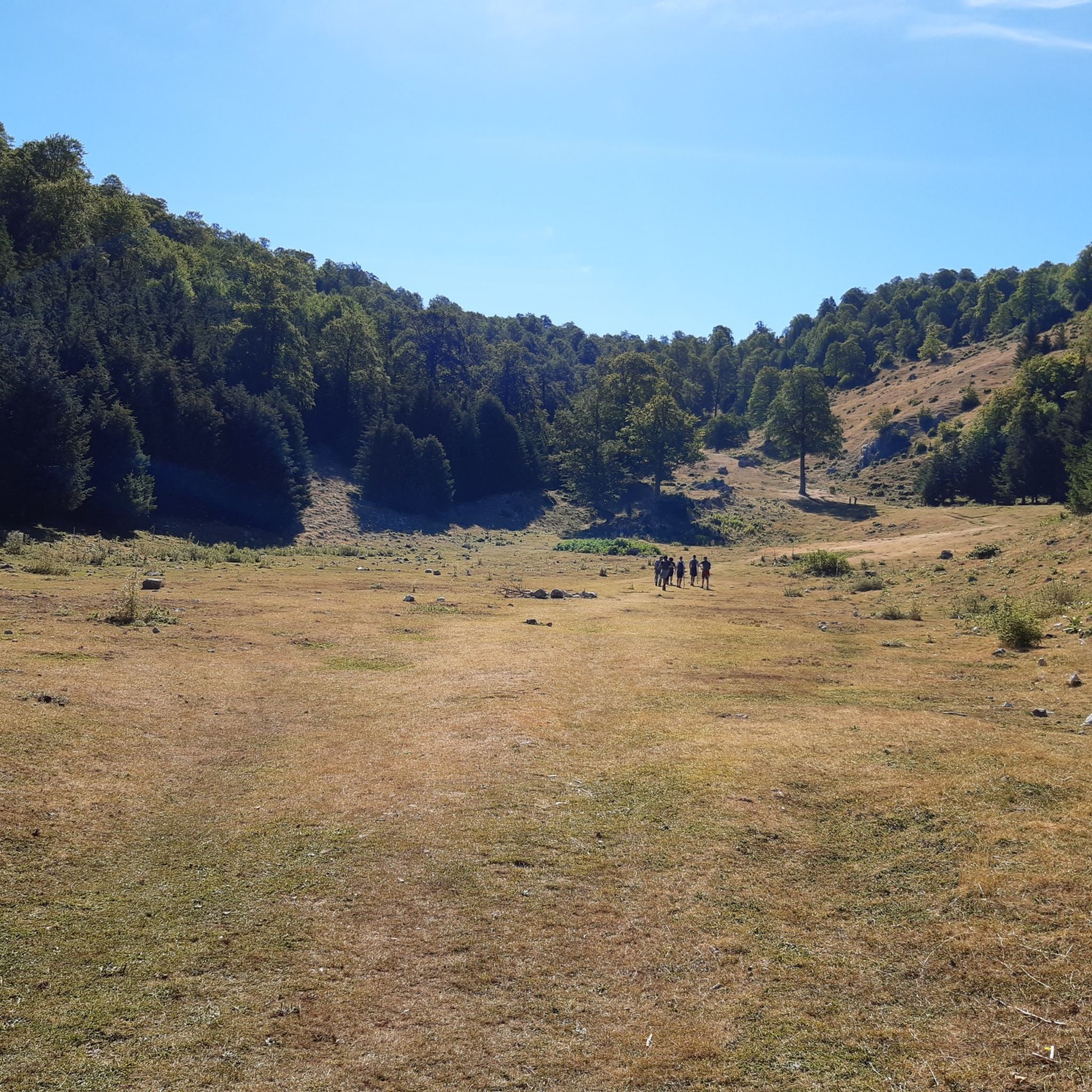
Hiking around Parco Naturale Regionale dei Monti Simbruini
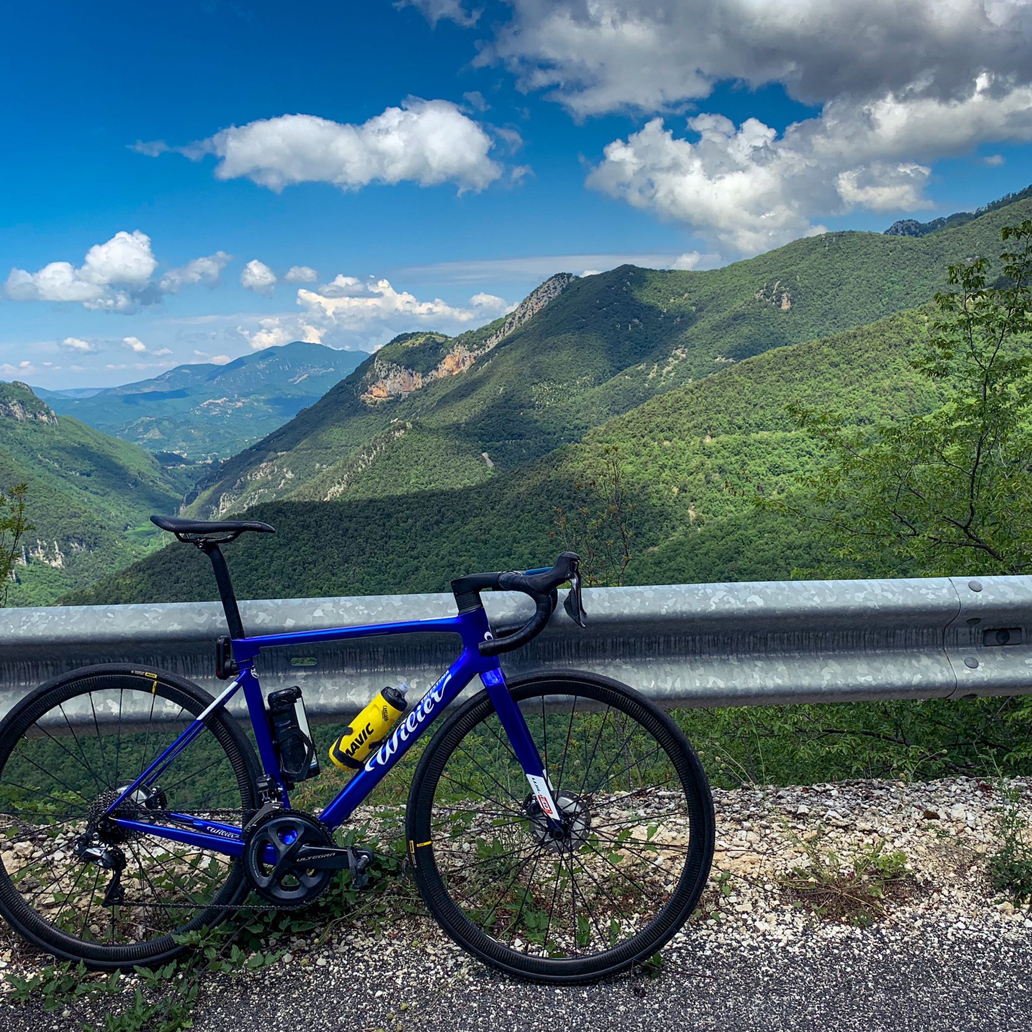
Road Cycling Routes around Parco Naturale Regionale dei Monti Simbruini
MTB Trails around Parco Naturale Regionale dei Monti Simbruini
Running Trails around Parco Naturale Regionale dei Monti Simbruini

Gravel biking around Parco Naturale Regionale dei Monti Simbruini
Other adventures around Parco Naturale Regionale dei Monti Simbruini


Tips from the Community

Challenging but worth the effort
0
1

Passo delle Pecore is the meeting point of several paths. There are beautiful glades here.
1
0

The Serra Sant'Antonio pass is located at 1602 m, on the provincial road to Campo Staffi, and is a mountain pass (on the watershed between the Simbruini and the Cantari).
1
0

Monna della Forcina is one of the key points in the Mtb outings in Simbruini: here you can start the hard climb of Mount Tarino (not recommended by bike from this side), go up towards Campo Staffi, go down towards Campo Ceraso and Campo della Pietra or go down towards Fiumata or Fillet. If you need water, go to Fiumata, Campo Ceraso or Campo Staffi.
0
0
This trail is one of the most spectacular near Filettino. There are technical steps, but overall it is within the reach of many practitioners. Super recommended!
0
0
There are 4 possible directions to Passo delle Pecore if you are equipped with an e-MTB.
3
0

From here you can go up, on the left, to the summit of Mount Tarino (from which the Aniene is born): it still takes an hour and more than 300 meters. in altitude, but, if you go up, you can see Filettino, Campo Staffi and even the Fucino plain to the east
0
0
With a generally downhill profile, this trail is one of the most recommended in the area for Mtb or e-Mtb. Ups and downs, guided sections and fast sections alternate while the scenery of the beech forest flows around. It ends on a large grassy clearing and, continuing it as indicated in the track, you arrive on the slope of Female Dead. Highly recommended
4
0
Frequently Asked Questions
What are some notable mountain passes to explore in Parco Naturale Regionale dei Monti Simbruini?
The region offers several distinctive mountain passes. You can visit Passo delle Pecore, known as a meeting point for various paths with beautiful glades. Another significant pass is Serra Sant'Antonio Pass, located at 1602 meters, which marks a watershed between the Simbruini and Cantari mountains and is a challenging ascent for cyclists. For mountain biking, Monna della Forcina Meadow is a key point with routes leading to Mount Tarino or Campo Staffi.
Are there mountain passes suitable for mountain biking or e-MTB in the area?
Yes, several passes are popular with mountain bikers. Passo delle Pecore offers four possible directions for e-MTB users. Monna della Forcina Meadow is also a key starting point for mountain biking outings. Additionally, Passo Procoio (Breccoji) features a generally downhill profile, making it highly recommended for MTB or e-MTB, with alternating ups, downs, and fast sections through a scenic beech forest.
What kind of natural landscapes and views can I expect around these mountain passes?
The Parco Naturale Regionale dei Monti Simbruini is characterized by diverse landscapes, including extensive beech woodlands and karstic plateaus. From passes like Serra Sant'Antonio Pass, you can embark on trails leading to prominent peaks like Monte Viglio, offering breathtaking panoramic views of the Apennine scenery. The unspoiled environment also hosts diverse wildlife, such as deer, wild boar, and various bird species.
What are the best times to visit the mountain passes in Parco Naturale Regionale dei Monti Simbruini?
The mountain passes are generally utilized for tourism throughout the year. While the region offers picturesque Apennine scenery in all seasons, spring and autumn provide pleasant temperatures for hiking and cycling. Winter conditions can bring snow, making some routes more challenging but also offering unique snowy landscapes. Always check local conditions before planning a winter visit.
Are there challenging routes for experienced hikers or cyclists near the mountain passes?
Absolutely. The ascent to Serra Sant'Antonio Pass from the Lazio side, for example, is a challenging 14.7-kilometer climb with an average gradient of 5.8% and a maximum of 7.3%, making it rewarding for cyclists. For hikers, trails from this pass lead to Monte Viglio, the highest summit of the Monti Ernici subgroup, involving ascents along ridges. Colle dell'Arena Bianca also offers spectacular trails with technical steps.
What outdoor activities can I do near these mountain passes?
Beyond exploring the passes themselves, the region offers a variety of outdoor activities. You can find numerous hiking opportunities, including difficult routes like the Monte Viglio Loop from Serra Sant'Antonio. For road cycling, there are challenging routes such as the Subiaco and Lake Turano Loop. You can explore more options in the Hiking around Parco Naturale Regionale dei Monti Simbruini and Road Cycling Routes around Parco Naturale Regionale dei Monti Simbruini guides.
Are there any specific viewpoints or panoramic spots near the mountain passes?
Yes, many of the mountain passes themselves offer excellent viewpoints. From Serra Sant'Antonio Pass, trails lead to a panoramic point with a statue of the Madonna, and further to Monte Viglio for extensive views. Passes like Passo delle Pecore and Passo Procoio (Breccoji) are also categorized as viewpoints, offering scenic vistas of the surrounding beech forests and glades.
What kind of terrain should I expect on trails around the mountain passes?
The terrain around the mountain passes varies. You'll encounter extensive beech woodlands, karstic plateaus, and ridges, especially on trails leading to higher peaks. Some trails, like those near Colle dell'Arena Bianca, may include technical steps, while others, such as Passo Procoio (Breccoji), feature a mix of ups, downs, and fast sections through forests.
Are there any family-friendly options or easier trails near the mountain passes?
While many routes can be challenging, the general area of Parco Naturale Regionale dei Monti Simbruini offers diverse trails. For easier options, you might look into the Waterfall hikes around Parco Naturale Regionale dei Monti Simbruini guide, which includes routes like the San Benedetto Lake loop from Subiaco, rated as easy. When exploring passes, consider shorter, less strenuous sections or glades for a more relaxed experience.
What do visitors enjoy most about the mountain passes in Parco Naturale Regionale dei Monti Simbruini?
Visitors appreciate the unspoiled natural environment and diverse wildlife, including deer and wild boar. The picturesque Apennine scenery, especially from higher elevations, is a major draw. Mountain bikers particularly enjoy the varied terrain and dedicated routes, while hikers value the challenging ascents and panoramic views from peaks like Monte Viglio accessible from passes such as Serra Sant'Antonio Pass.
Where can I find water or supplies when exploring the passes?
When exploring areas like Monna della Forcina Meadow, tips suggest that if you need water, you can find it in nearby locations such as Fiumata, Campo Ceraso, or Campo Staffi. It's always advisable to carry sufficient water and supplies, especially on longer or more remote routes.
Are there any circular or loop trails that incorporate these mountain passes?
Yes, the region offers various loop trails. For instance, the Monte Viglio Loop from Serra Sant'Antonio is a difficult hiking route. You can find more options for circular walks and loop trails within the broader Hiking around Parco Naturale Regionale dei Monti Simbruini guide, which includes routes like the Monte Autore Loop from Campo dell'Osso.
Most popular routes around Parco Naturale Regionale dei Monti Simbruini
Most popular attractions around Parco Naturale Regionale dei Monti Simbruini

Get inspired with the komoot mobile app


Explore more
See even more epic mountain passes by checking out these guides around Parco Naturale Regionale dei Monti Simbruini:
