The best hikes from bus stations around Parco Naturale Regionale dei Monti Simbruini
4.5
(2100)
8,503
hikers
18
hikes
Bus station hiking trails around Parco Naturale Regionale dei Monti Simbruini traverse a diverse landscape in the central Apennines, characterized by extensive ancient beech forests, distinctive karst plateaus, and significant mountain peaks. The region features numerous spring-fed rivers like the Aniene and Simbrivio, which carve out valleys and form waterfalls. Hikers can explore elevations ranging from open grassland plateaus to challenging ascents of peaks over 2,000 meters. This varied terrain provides a range of hiking experiences accessible by public transport.
Best bus station hiking trails around Parco Naturale Regionale dei Monti Simbruini
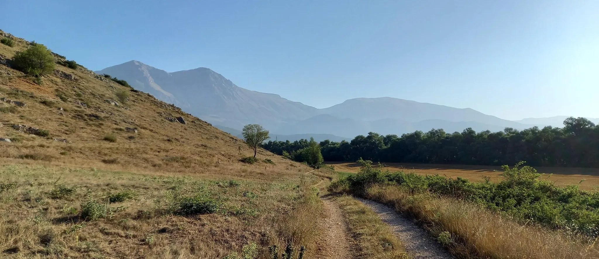
- The most popular bus station hiking route is Ruins of Camerata Vecchia – Plain of the Simbruini Mountains loop from Camerata Nuova, a 9.1 miles (14.7 km) trail that takes 4 hours 43 minutes to complete. This moderate route explores the historic ruins and open plains of the Simbruini Mountains.
- Another top favourite among local hikers is Fiumata Refuge – Filettino loop from Filettino, a moderate 7.9 miles (12.7 km) path. This trail leads through mountain landscapes, offering views of the Fiumata Refuge and surrounding peaks.
- Local hikers also love the Ruins of Camerata Vecchia – Rifugio Camposecco loop from Camerata Nuova, a 8.2 miles (13.2 km) trail leading through ancient ruins and towards the Rifugio Camposecco, often completed in about 4 hours 37 minutes.
- Hiking around Parco Naturale Regionale dei Monti Simbruini is defined by vast beech woodlands, karst plateaus, and mountain peaks, with routes offering options for different ability levels.
- The routes in Parco Naturale Regionale dei Monti Simbruini are highly rated by the komoot community with an average score of 4.5 stars from over 1900 reviews. More than 7600 hikers have used komoot to explore Parco Naturale Regionale dei Monti Simbruini's varied terrain.
Last updated: July 12, 2026
4.6
(11)
52
hikers
Moderate hike. Good fitness required. Mostly accessible paths. Sure-footedness required.
5.0
(5)
19
hikers
13.3km
04:32
620m
620m
Moderate hike. Good fitness required. Mostly accessible paths. Sure-footedness required.

Sign up for free
4.4
(7)
32
hikers
13.2km
04:37
600m
600m
Moderate hike. Good fitness required. Mostly accessible paths. Sure-footedness required.
8
hikers
22.3km
07:49
1,160m
1,160m
Hard hike. Very good fitness required. Easily-accessible paths. Suitable for all skill levels.
5.0
(1)
4
hikers
21.2km
07:17
1,150m
1,150m
Hard hike. Very good fitness required. Easily-accessible paths. Suitable for all skill levels.
Get access to more routes and recommendations from other explorers.
Sign up for free
Already have an account?
Our route recommendations are based on thousands of hikes, rides, and runs completed by other people on komoot.
Start today with a free account
Your next adventure awaits.
Login or Signup
Popular around Parco Naturale Regionale dei Monti Simbruini
Other adventures around Parco Naturale Regionale dei Monti Simbruini


Tips from the Community


Just before reaching the summit, along the path, you will find these 2 boundary stones between the 2 pre-unification states (Bourbon and Papal), one of which unfortunately is no longer in its original position.
0
0

Hiking boots, fairly long and steep route.
0
0
Requires good training. No children, but the route can be bypassed by using the path under the gendarme to still reach the summit.
0
0

This place is worth a vote as you reach the top and if the weather permits you can see both the Tyrrhenian and Adriatic seas.
1
0

You cross the stream several times with a minimum of attention and waterproof shoes are not necessary (at least in spring).
0
0

These are the ruins of the ancient town of Camerata which was destroyed in 1881 by a fire. A very suggestive place with stone houses set and built into the rock. Among the ruins stands out a majestic arch carved into the rock dating back to the 16th century. It is worth taking a walk here from Camerata Nuova to take a step back in time.
4
0

Two large parking spaces on both sides of the road.
0
0
Frequently Asked Questions
How many bus-accessible hiking trails are available in Parco Naturale Regionale dei Monti Simbruini?
There are 17 bus-accessible hiking trails in Parco Naturale Regionale dei Monti Simbruini featured in this guide. These routes offer a variety of experiences, from moderate forest walks to challenging mountain ascents, all starting conveniently from bus stops.
Are there easy or beginner-friendly hikes accessible directly from bus stops?
Yes, there are 2 easy bus-accessible hikes in the region. These trails are generally shorter and have less elevation gain, making them suitable for beginners or those looking for a more relaxed outing. The park's diverse terrain also offers many moderate options that are well-suited for those with some hiking experience.
What kind of natural features can I expect to see on bus-accessible trails?
The bus-accessible trails in Parco Naturale Regionale dei Monti Simbruini lead through a variety of stunning landscapes. You can expect to encounter vast ancient beech woodlands, characteristic karst plateaus, and picturesque river valleys. Some routes may offer views of significant peaks like Monte Autore Summit or lead to natural monuments such as the Trevi Waterfalls in Lazio.
Are there any circular routes that start and end at a bus station?
Yes, many of the bus-accessible routes are circular, allowing you to start and finish your hike at the same bus stop. For example, the Ruins of Camerata Vecchia – Plain of the Simbruini Mountains loop from Camerata Nuova is a moderate circular hike, as is the Fiumata Refuge – Filettino loop from Filettino, both offering convenient return to your starting point.
What is the best time of year to hike these bus-accessible trails?
Spring and autumn are generally the best times for hiking in Parco Naturale Regionale dei Monti Simbruini. In spring, the forests burst with new life, and wildflowers bloom. Autumn offers spectacular foliage and pleasant temperatures. Summer can be warm, but the dense beech forests provide welcome shade. Winter hiking is possible, especially on lower trails, but requires appropriate gear and awareness of snow conditions.
Can I bring my dog on these bus-accessible hiking trails?
Parco Naturale Regionale dei Monti Simbruini is generally dog-friendly, but specific rules apply. Dogs are usually permitted on trails if kept on a leash. However, it's always advisable to check local regulations, especially concerning protected areas or wildlife zones, and to ensure your dog is comfortable with public transport if you plan to use buses to reach trailheads.
Are there any challenging hikes accessible by bus for experienced hikers?
Absolutely. For experienced hikers, there are several challenging routes accessible by bus. For instance, the Monte Viglio summit (2,156 m) – Prato Fonte della Moscosa loop from Filettino is a difficult route offering significant elevation gain and panoramic views from the highest peak in the park. Another demanding option is the Moscosa Spring – Prato Fonte della Moscosa loop from Filettino.
What do other hikers enjoy most about hiking in Parco Naturale Regionale dei Monti Simbruini?
The area is highly rated by the komoot community, with an average score of 4.52 stars from over 1900 ratings. Reviewers often praise the tranquility of the ancient beech forests, the stunning panoramic views from the peaks, and the rich biodiversity, including opportunities for wildlife spotting. The accessibility of trails via public transport is also a frequently appreciated aspect.
Are there any historical or cultural points of interest along the bus-accessible routes?
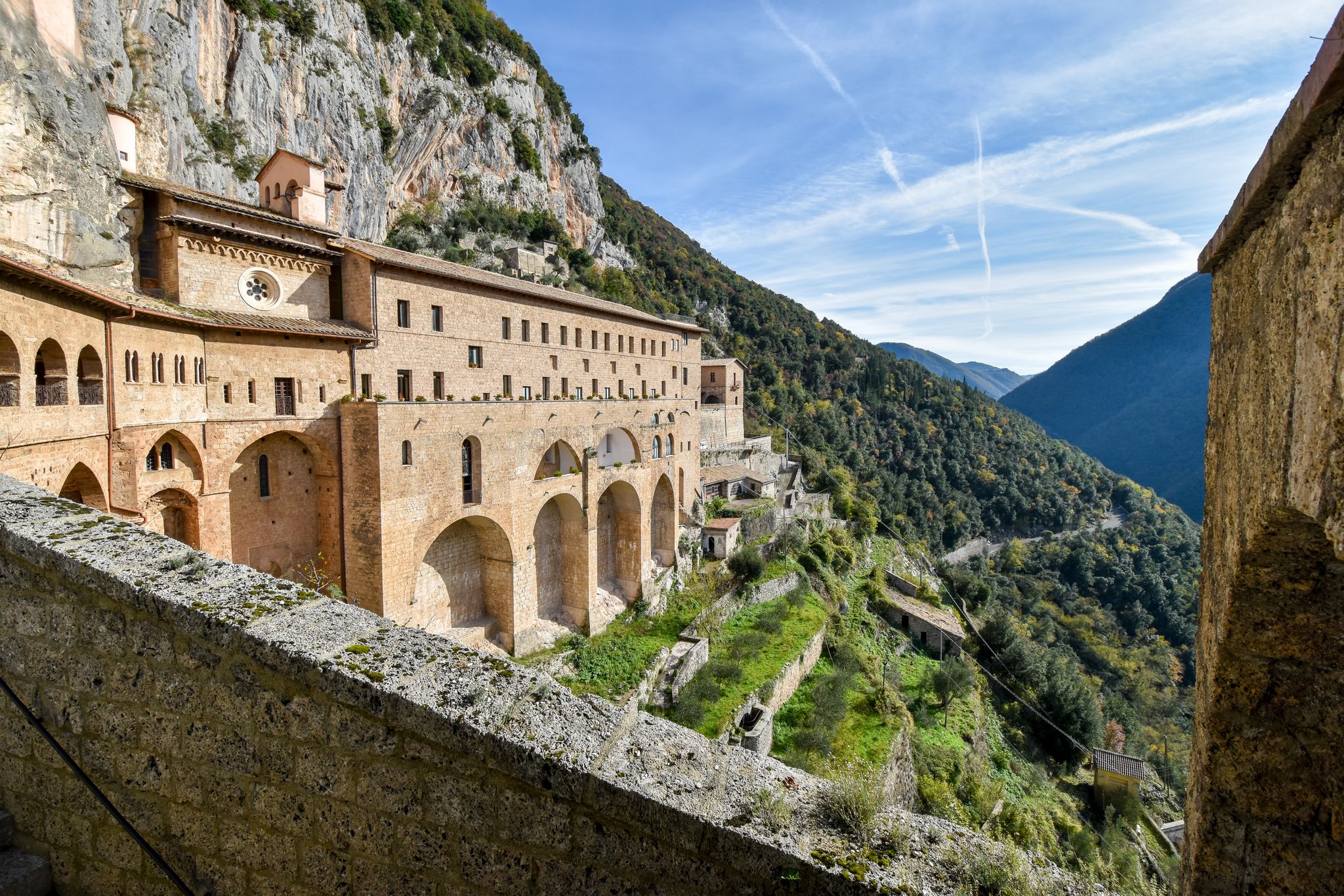
While the guide focuses on natural trails, the region itself is rich in history. The trails may pass near charming mountain villages like Subiaco, known for its Benedictine monasteries, or Vallepietra, home to the Sanctuary of the Holy Trinity. You might also encounter remnants of ancient Roman aqueducts that once supplied water to Rome, showcasing the area's long history.
What should I know about public transport (COTRAL buses) when planning a hike?
COTRAL buses serve many towns and villages around Parco Naturale Regionale dei Monti Simbruini, making several trailheads accessible. It's crucial to check the most up-to-date bus schedules and routes in advance, especially for weekend or holiday travel, as services can be less frequent. Planning your hike around bus timings is essential for a smooth trip.
Are there any specific viewpoints or scenic spots accessible from bus stops?
Many bus-accessible trails lead to fantastic viewpoints. For example, routes starting from Filettino can offer glimpses of the central Apennines, including Monte Viglio. The Prato di Camposecco, a large grassland plateau, is another scenic spot that can be reached, offering open landscapes and panoramic vistas.
Most popular routes around Parco Naturale Regionale dei Monti Simbruini
Most popular attractions around Parco Naturale Regionale dei Monti Simbruini

Get inspired with the komoot mobile app


Explore more
Browse the best Hikes in other regions.
