Attractions and Places To See in the Sangre de Christo Mountains - Top 20
Best attractions and places to see in the Sangre de Christo Mountains include a diverse range of natural features and cultural sites. This subrange of the Rocky Mountains stretches from southern Colorado into northern New Mexico, offering varied landscapes. The region is characterized by towering peaks, extensive wilderness areas, and significant historical locations. Visitors can explore natural monuments, historical parks, and scenic routes that showcase the area's unique blend of geology and heritage.
Best attractions and places to see in the Sangre de Christo Mountains
- The most popular attractions is Dunes Trailhead, Great Sand Dunes National Park, a parking area and trailhead that serves as the starting point for exploring the massive dune field. This location provides access to one of North America's tallest sand dunes and offers facilities like restrooms and information boards.
- Another must-see spot is Zapata Falls, a waterfall tucked within the rocks. Visitors can walk along the riverbed to experience the two tiers of the waterfall, which are only audible from the outside.
- Visitors also love Williams Lake, an alpine lake located beneath Wheeler Peak. It is a good place to rest or have a snack, offering scenic views in a mountainous setting.
- Sangre de Christo Mountains is known for its natural monuments, historical sites, and extensive trail networks. The region offers a variety of attractions, from challenging mountain summits to family-friendly natural areas and cultural landmarks.
- The attractions in the Sangre de Christo Mountains are appreciated by the komoot community, with 9 upvotes and 25 photos shared across the highlights.
Last updated: July 7, 2026
High Dune
Highlight • Natural Monument
Tip by

Zapata Falls
Highlight • Waterfall
From trailhead to stream is uphill and dusty with scattered benches under trees. Navigating through the stream is short, but water is cold and watch for deep sections.
Tip by

Sign up now to discover places like this
Get recommendations on the best single tracks, peaks, & plenty of other exciting outdoor places.
Sign up for free
Atalaya Mountain Trailhead
Highlight • Trail
Trail is well-marked, especially at the numbered junctions (at which there are also topography maps of the trails). There are also a number of trail heads and interlacing trails, so hikes or bike rides can be shorter or longer depending on what you want, even while out on the hills.
On maps, this trail is called "St. John's Trail", but physical markers use the name "Atalaya Trail"; either way, you will follow markers for Trail 174.
Lovely hike, with views of the Sangre de Cristo mountains and back across Santa Fe. Website: sfct.org/dale-ball-trails
Tip by

Medano Creek
Highlight • River
Tip by
Dunes Trailhead, Great Sand Dunes National Park
Highlight • Parking
A popular hike from here is to summit the High Dune which is one of the tallest sand dunes in North America. Be prepared for different weather conditions as it may be very hot in the summer months with absolutely no shade and the sand reflecting the heat. Strong winds are also possible, so bring appropriate clothing or gear to cover your face and skin. On your hike towards the dunes, you will cross Medano Creek which is a flowing river until early summer and a vast flat space during the rest of the year.
If you want to spend more time in the dune field, you can obtain a backcountry permit and stay overnight in the sandy wilderness: recreation.gov/permits/4675316.
Tip by
Williams Lake
Highlight • Lake
Tip by

Wheeler Peak Summit
Highlight • Summit
Tip by
Picacho Peak
Highlight • Summit
Tip by
Zapata Falls Trailhead
Highlight • Rest Area
Tip by

Historic Downtown Salida
Highlight • Settlement
Tip by

Sign up for free to discover even more attractions in the Sangre de Christo Mountains.
Sign up for free
Already have an account?
Start today with a free account
Your next adventure awaits.
Login or Signup
Popular around Sangre de Christo Mountains
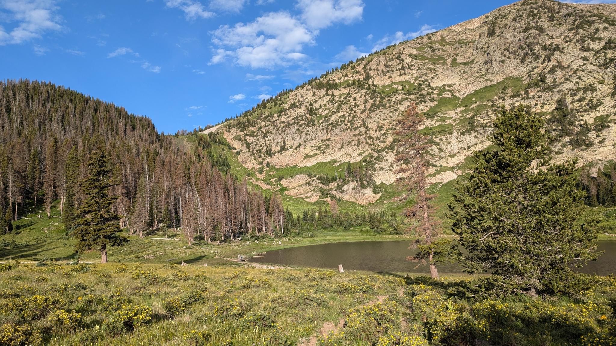
Santa Fe to Taos Thru-Hike — A journey across the Sangre de Cristo Mountains

Great Divide Mountain Bike Route — Cycling the spine of a continent
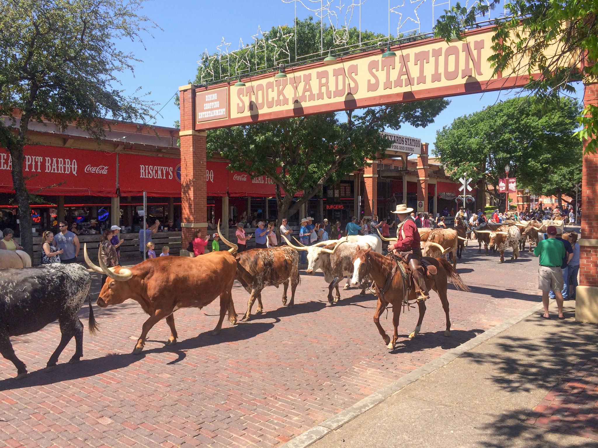
Cowboy country & Route 66 – Wild West meets legend

Mountain bike paradise around Salida in Colorado

Unforgettable MTB Adventures – IMBA Epic Trails in USA and Canada
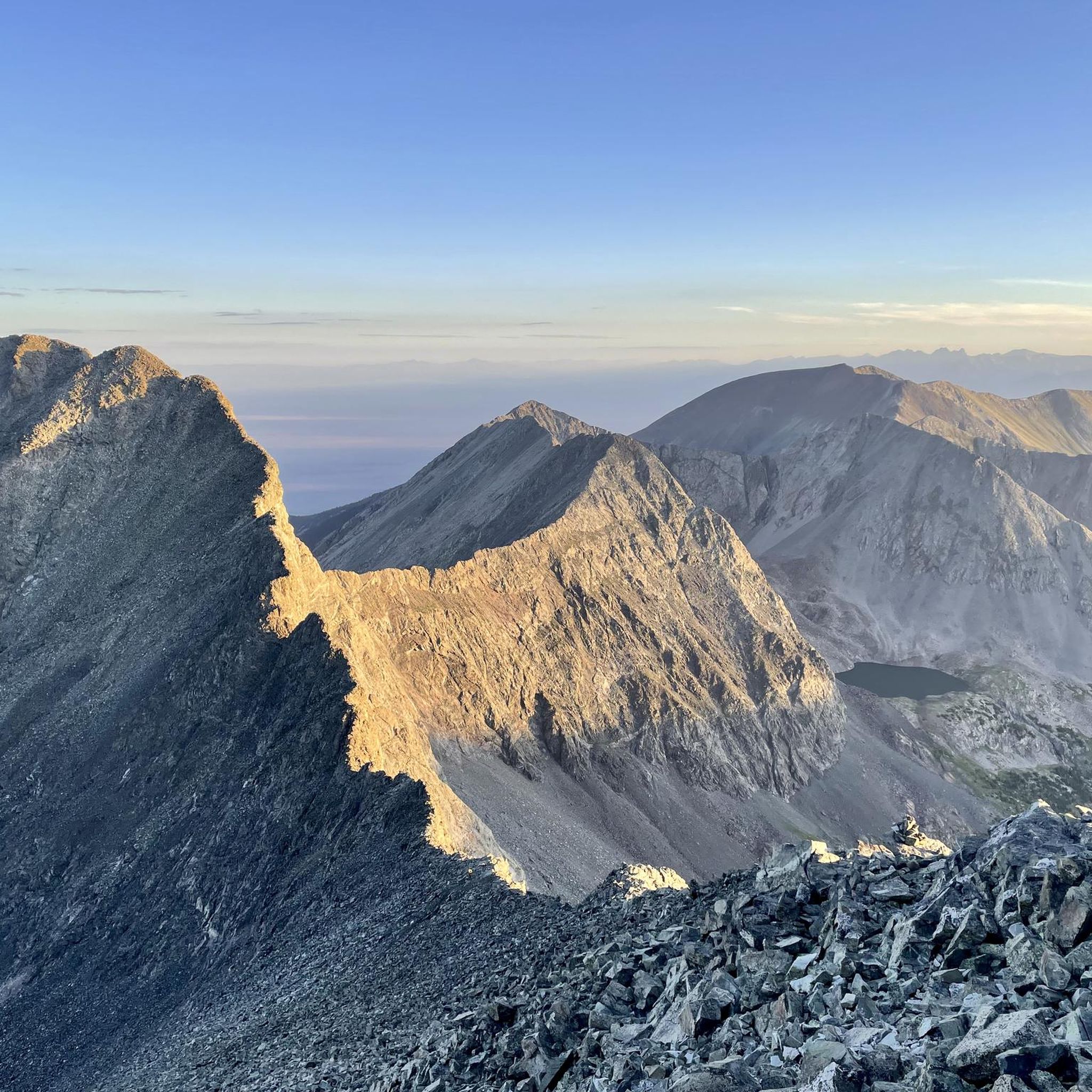
Hiking in the Sangre de Christo Mountains
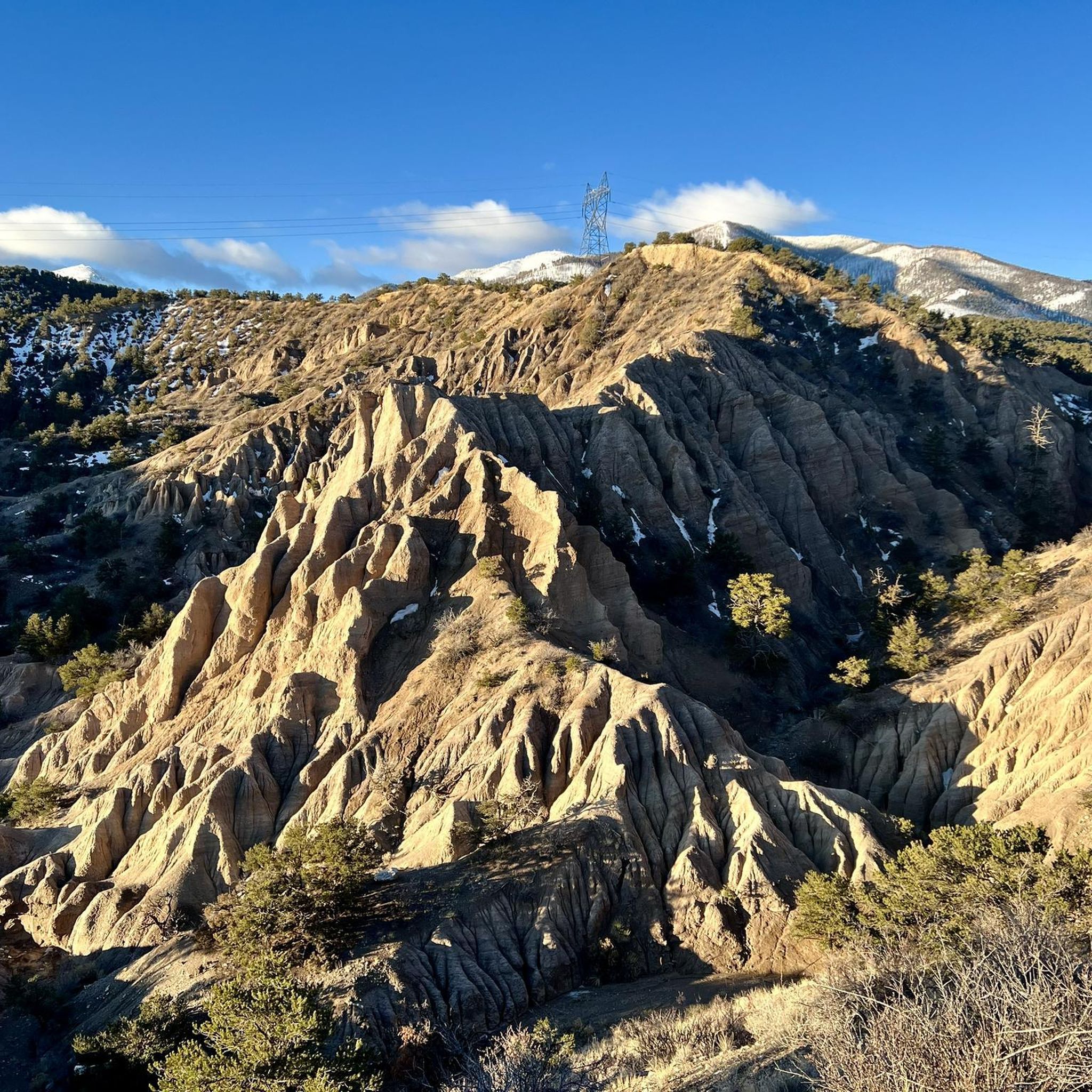
MTB Trails in the Sangre de Christo Mountains
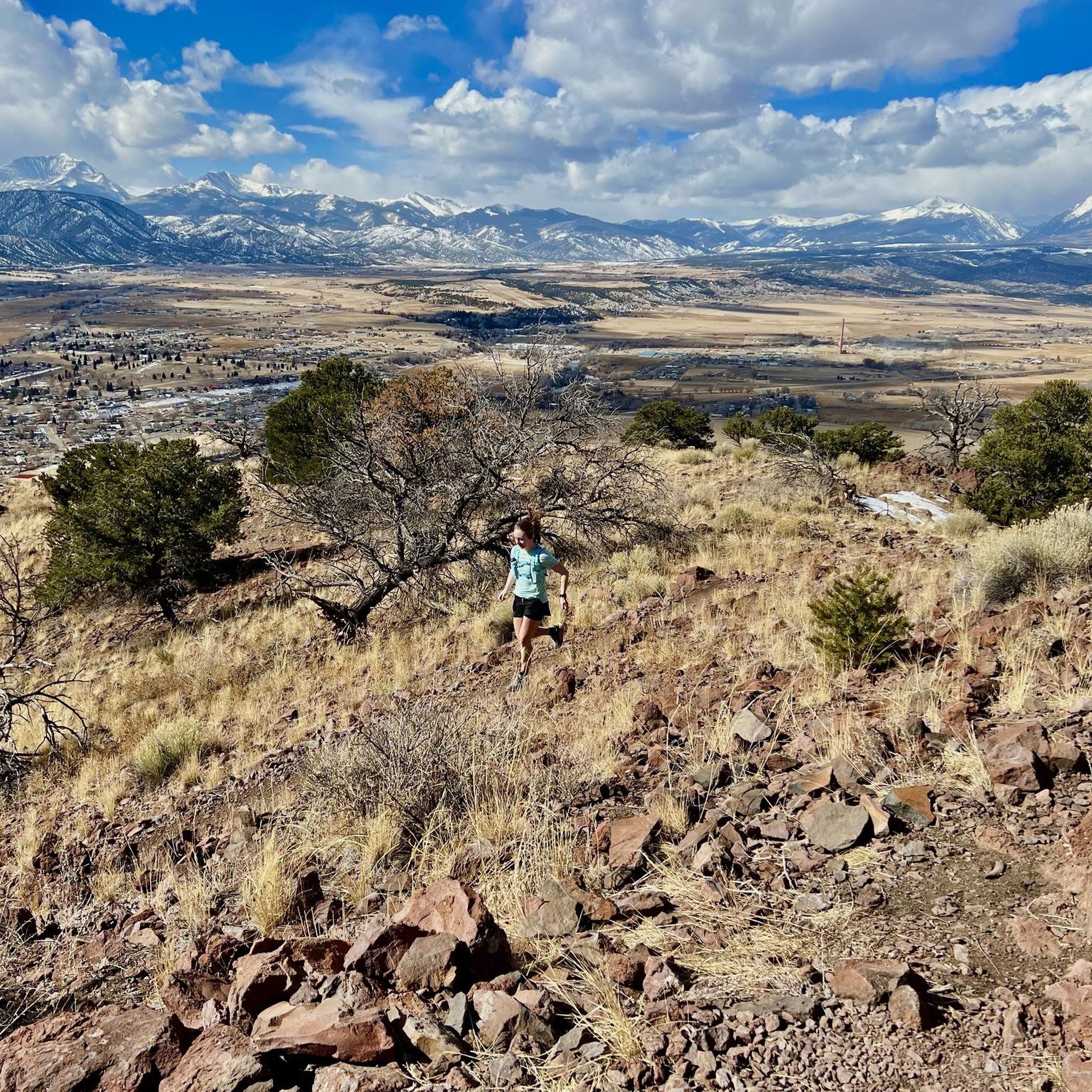
Running Trails in the Sangre de Christo Mountains
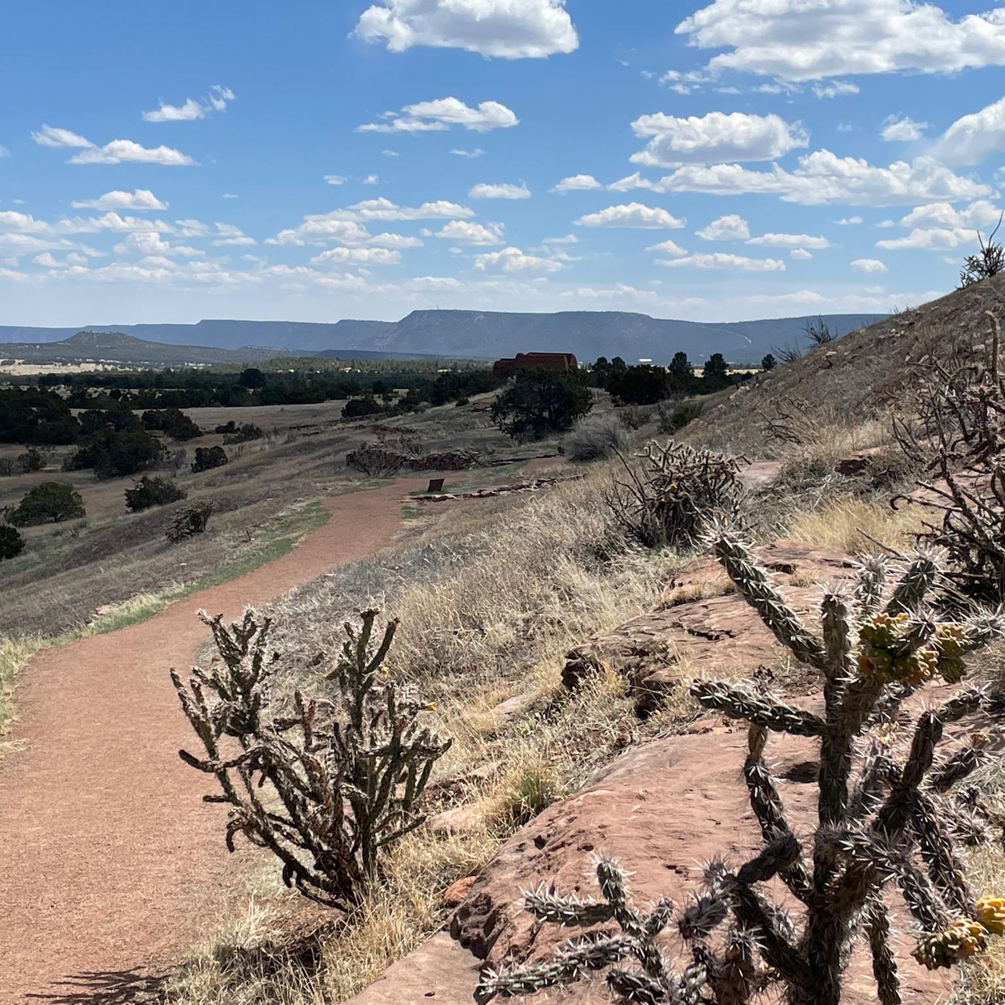
Road Cycling Routes in the Sangre de Christo Mountains
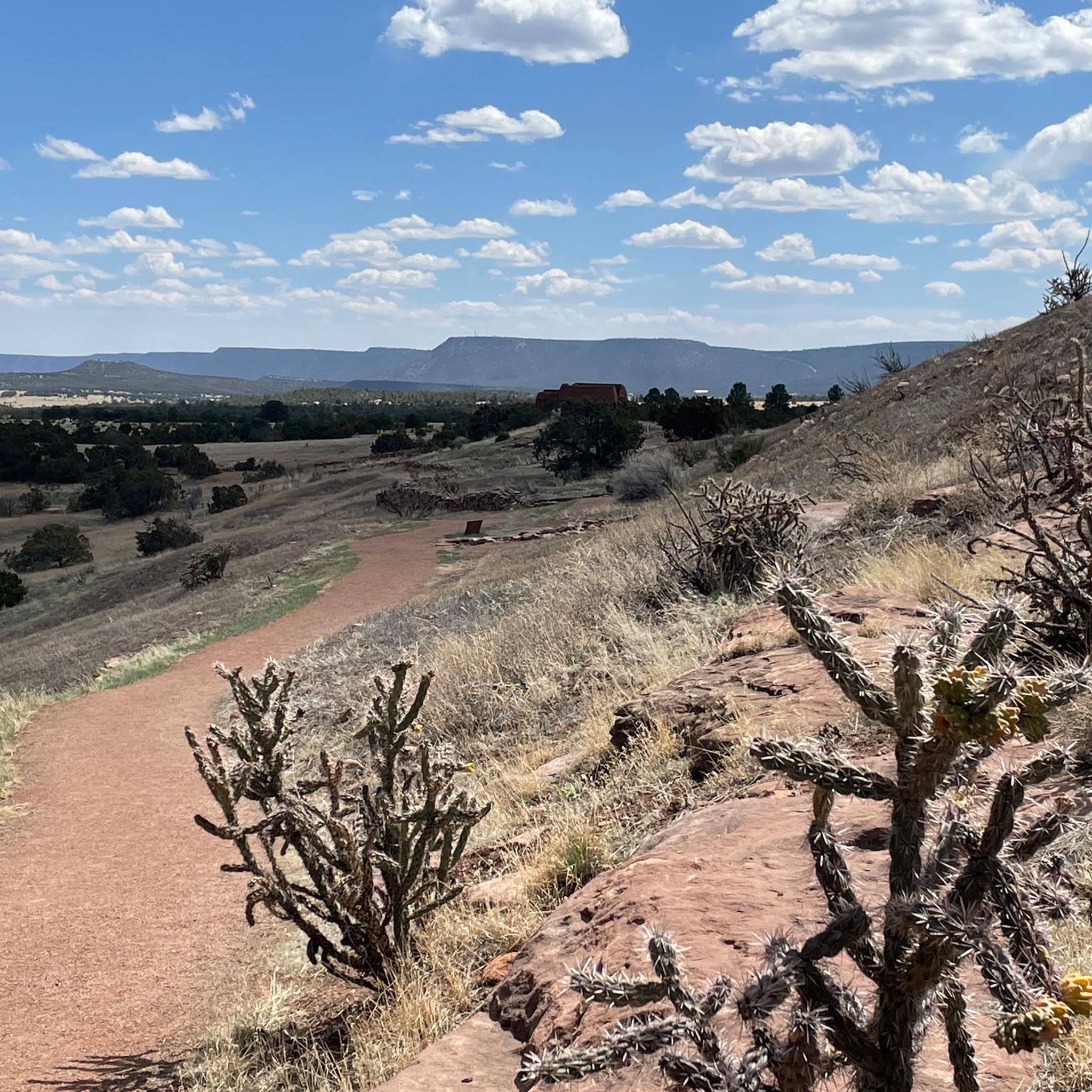
Cycling in the Sangre de Christo Mountains
Other adventures in the Sangre de Christo Mountains


Tips from the Community


The two tiers of the waterfall aren't visible from the outside, but can only be heard. It's essential to walk along the edge or in the riverbed for a while. Depending on the water level, this may be possible without any slippery feet. The stones aren't particularly slippery. This river path should be avoided in winter.
1
0

The Great Sand Dunes cover an area of approximately 80 km² and, at a height of approximately 230 meters, are the highest dunes in North America. The sand dunes are approximately 12,000 years old and were formed by sand deposits from the Rio Grande and its tributaries. You should be in good physical shape to hike the dunes. The constant inclines in the loose sand can be very strenuous.
2
0

Here you can park, picnic and use the toilet
1
0
Definitely worth the hike. The waterfall is hidden between the rock walls, so water shoes are necessary.
1
1
Just really beautiful! A tough hike through the loose sand.
2
0
Frequently Asked Questions
What are some of the most popular natural attractions in the Sangre de Cristo Mountains?
The region boasts several highly-rated natural attractions. Visitors frequently enjoy exploring High Dune within the Great Sand Dunes National Park, which offers unique hiking experiences on North America's tallest sand dunes. Another favorite is Zapata Falls, a hidden waterfall accessible by walking along a riverbed. Williams Lake, an alpine lake beneath Wheeler Peak, is also a popular spot for scenic views and a peaceful break.
What cultural and historical sites can I visit in the Sangre de Cristo Mountains?
The Sangre de Cristo Mountains are rich in history and culture. You can explore the Pecos National Historical Park Visitor Center, which provides insight into a Civil War battle site and ancient Ancestral Pueblo dwellings. Other significant sites include the UNESCO World Heritage Site of Taos Pueblo, historic churches like San Francisco de Asis Mission Church and Santuario de Chimayó, and the Sangre de Cristo National Heritage Area in Colorado, which highlights Native American, Hispano, and Anglo cultures.
Are there challenging hiking trails in the Sangre de Cristo Mountains?
Yes, the region offers several challenging trails for experienced hikers. The ascent to Wheeler Peak Summit, New Mexico's highest point, is a demanding but rewarding trek. Hiking up High Dune in the Great Sand Dunes National Park can also be strenuous due to the loose sand and steep sections. For more options, you can explore difficult running trails like the Venable-Comanche Trail loop or Rito Alto four pass loop in the Sangre de Cristo Wilderness, which are also suitable for challenging hikes. Find more challenging routes on komoot's guide to Running Trails in the Sangre de Christo Mountains.
What family-friendly activities are available in the Sangre de Cristo Mountains?
Families can enjoy several attractions. Medano Creek, located at the base of the Great Sand Dunes, is a popular spot for splashing and playing, especially in early summer when it flows. The Zapata Falls Trailhead provides access to a relatively short hike to the waterfall, which can be an exciting adventure for children. The Pecos National Historical Park Visitor Center also offers educational experiences suitable for families.
Where can I find unique geological formations in the area?
The most prominent geological feature is the Great Sand Dunes National Park and Preserve, where you can witness immense sand dunes formed by winds. The Dunes Trailhead is your starting point for exploring this unique landscape. Additionally, the Spanish Peaks are known for their distinctive igneous dikes, offering another fascinating geological sight.
Are there any notable waterfalls or lakes to visit?
Yes, the region features beautiful waterfalls and alpine lakes. Zapata Falls is a unique waterfall tucked within rocks, requiring a walk along the riverbed to experience its full beauty. Williams Lake is a stunning alpine lake located beneath Wheeler Peak, perfect for a scenic stop. Further into the Sangre de Cristo Wilderness, Willow Lake offers breathtaking views of blue water contrasting with rocky formations and a waterfall.
What other outdoor activities can I do besides hiking?
Beyond hiking, the Sangre de Cristo Mountains offer a wide range of outdoor activities. You can enjoy world-class skiing and snowboarding at Taos Ski Valley or Angel Fire Resort. Whitewater rafting is available in the lower Rio Grande Gorge. Red River is a popular destination for off-roading with OHVs. Fishing is excellent in numerous lakes and rivers, including Upper and Lower Red River, Lost Lake, and Horseshoe Lake. Guided horseback riding tours are also available. For cycling enthusiasts, komoot offers guides like Road Cycling Routes in the Sangre de Christo Mountains.
What is the best time of year to visit the Sangre de Cristo Mountains?
The best time to visit depends on your preferred activities. For hiking and exploring the dunes, spring and fall offer pleasant temperatures, avoiding the intense summer heat and potential winter snow. Summer is ideal for whitewater rafting and enjoying alpine lakes, though it can be hot at lower elevations. Winter is perfect for skiing and snowboarding at resorts like Taos Ski Valley and Angel Fire Resort, or for cross-country skiing and snowshoeing at Enchanted Forest Cross Country Ski Area.
Are there accessible viewpoints in the Sangre de Cristo Mountains?
While many viewpoints require hiking, the Dunes Trailhead, Great Sand Dunes National Park offers facilities and information boards at the base of the dunes, providing an accessible starting point with views of the vast sand field. The scenic drives like the High Road to Taos and the Enchanted Circle Scenic Byway also offer numerous pull-offs with stunning mountain vistas that are accessible by car.
What are some easy hiking trails in the Sangre de Cristo Mountains?
For easier hikes, you can explore trails such as the Dale Ball Trails North loop or the Chamisa Trail loop near Santa Fe. The Dorothy Stewart Trail and La Vista Verde Trail also offer less strenuous options. These trails provide a great way to experience the natural beauty of the region without extreme difficulty. You can find more easy options in komoot's guide to Easy hikes in the Sangre de Christo Mountains.
What do visitors enjoy most about the Sangre de Cristo Mountains?
Visitors frequently highlight the breathtaking natural beauty and the diverse outdoor experiences. Many appreciate the unique challenge and panoramic views from High Dune, describing it as a magnificent experience despite the effort. The serene natural escape offered by Zapata Falls and the peaceful setting of Williams Lake are also highly praised. The combination of towering peaks, extensive wilderness, and rich cultural sites provides a captivating blend for all types of adventurers.
Are there opportunities for scenic drives in the Sangre de Cristo Mountains?
Absolutely. The region is home to some spectacular scenic routes. The High Road to Taos is a winding route between Santa Fe and Taos, passing through historic villages and offering stunning mountain views. The Enchanted Circle Scenic Byway is an 83-mile loop from Taos through Eagle Nest, Red River, and Questa, providing diverse landscapes from mesas to mountain passes and deserts. These drives are excellent for experiencing the area's beauty from the comfort of your vehicle.
Most popular routes in the Sangre de Christo Mountains
Most popular attractions in the Sangre de Christo Mountains

Get inspired with the komoot mobile app


Explore more
Still not found the Highlight you’re looking for? See guides of the top attractions in other regions:
