The best road cycling routes in the Sangre de Christo Mountains
4.3
(11)
666
riders
29
rides
Road cycling in the Sangre de Christo Mountains offers diverse terrain characterized by high mountain passes, scenic valleys, and significant elevation changes. The region features routes that traverse through areas like Poncha Pass and Monarch Pass, providing varied challenges for cyclists. Road bike trail distances in the Sangre de Christo Mountains range from shorter loops to extended journeys, often connecting towns like Salida, Buena Vista, and Taos. The landscape includes both open stretches and routes near natural attractions such as…
Last updated: July 7, 2026
13
riders
41.7km
02:01
620m
620m
The Poncha Pass from Salida road cycling route offers a classic Colorado climb, taking you from the Arkansas River Valley up to the continental divide. You'll pedal through changing scenery,…
7
riders
74.4km
03:48
1,300m
1,300m
Road cycling the difficult Monarch Pass from Salida offers a challenging 46.2-mile climb with 4269 feet of elevation gain to the Continental

Sign up for free
4.0
(1)
8
riders
51.1km
02:22
450m
450m
Cycle the moderate 31.7-mile Centerville loop from Salida, gaining 1475 feet of elevation with views of the Sangre de Cristo and Sawatch mou
7
riders
24.8km
01:05
220m
220m
Easy 15.4-mile road cycling loop connecting Downtown Salida and Poncha Springs, offering views of the Sawatch Range and Arkansas River.
4
riders
This moderate 54.0-mile road cycling loop from Salida takes you through the scenic Upper Arkansas Valley, past Mount Princeton Hot Springs a
1
riders
55.1km
02:31
500m
500m
This moderate 34.2-mile road cycling loop from Salida to Poncha Springs and Centerville offers scenic mountain views and good pavement.
1
riders
106km
04:41
1,030m
1,030m
This road cycling route from Salida to Joyful Journey Hot Springs is a challenging journey through diverse Colorado landscapes, perfect for experienced riders. You'll begin in the Arkansas River Valley,…
14
riders
23.5km
01:19
400m
400m
Moderate road ride. Good fitness required. Mostly well-paved surfaces and easy to ride.
11
riders
49.5km
02:24
690m
690m
If you're seeking a road cycling route that combines a solid workout with the undeniable charm of a historic Colorado mountain town, the Historic Downtown Salida – Historic Downtown Salida…
13
riders
57.2km
02:47
670m
670m
Moderate road ride. Good fitness required. Some segments of this route may be unpaved and difficult to ride.
Get access to more routes and recommendations from other explorers.
Sign up for free
Already have an account?
Our route recommendations are based on thousands of hikes, rides, and runs completed by other people on komoot.
Start today with a free account
Your next adventure awaits.
Login or Signup
Popular around Sangre de Christo Mountains
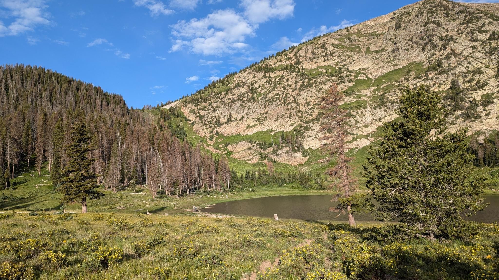
Santa Fe to Taos Thru-Hike — A journey across the Sangre de Cristo Mountains

Great Divide Mountain Bike Route — Cycling the spine of a continent
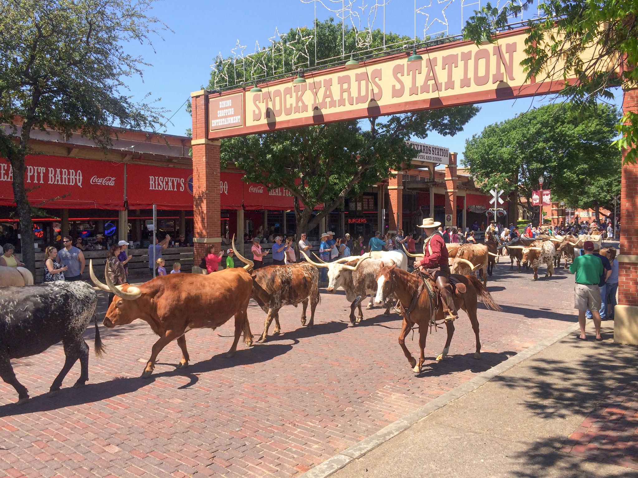
Cowboy country & Route 66 – Wild West meets legend

Mountain bike paradise around Salida in Colorado

Unforgettable MTB Adventures – IMBA Epic Trails in USA and Canada
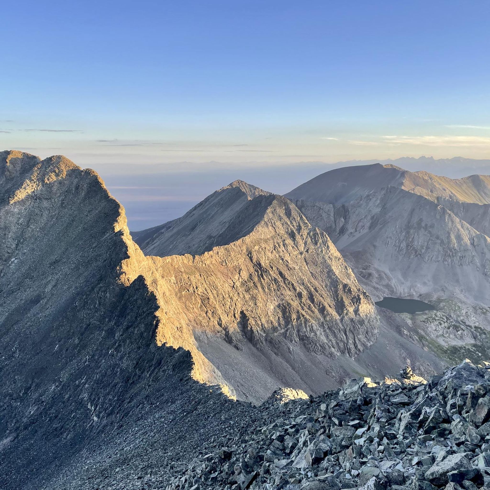
Hiking in the Sangre de Christo Mountains
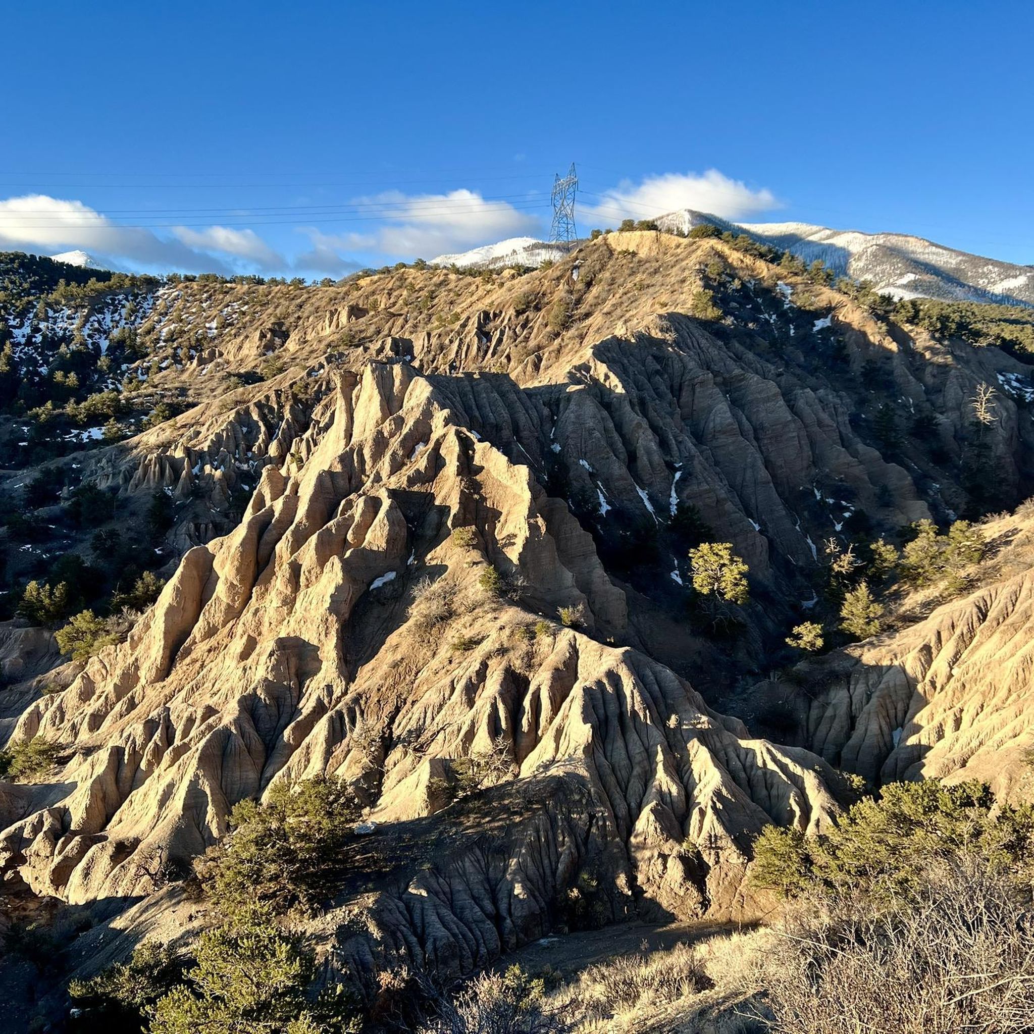
MTB Trails in the Sangre de Christo Mountains
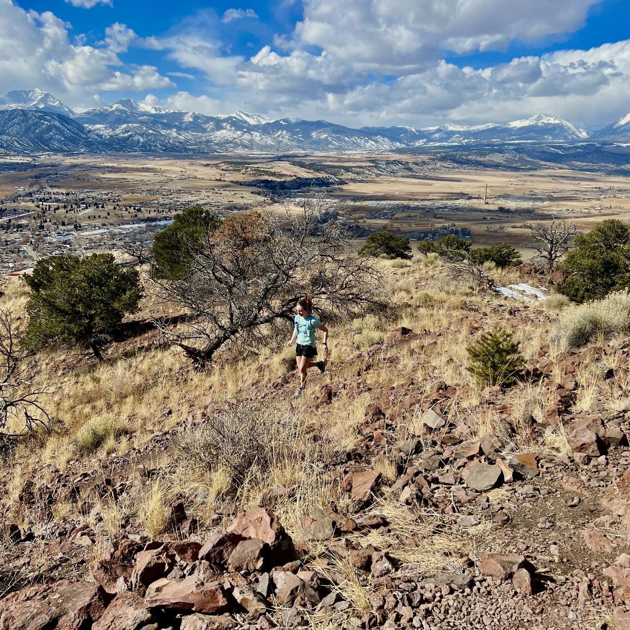
Running Trails in the Sangre de Christo Mountains
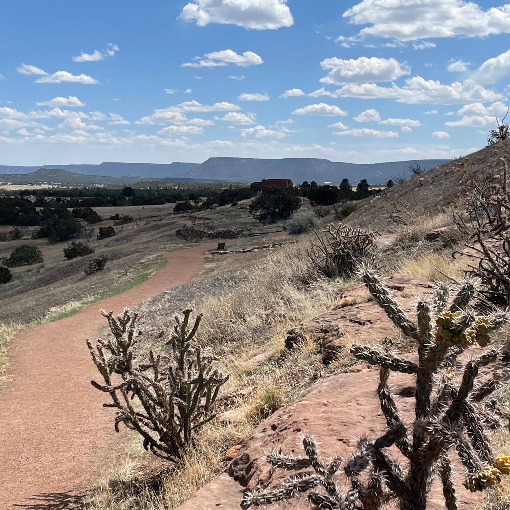
Cycling in the Sangre de Christo Mountains

Gravel biking in the Sangre de Christo Mountains
Other adventures in the Sangre de Christo Mountains


Tips from the Community

The Pot Creek Cultural Site is an amazing,13th century abandoned pueblo with a mile-long walking loop dotted with informational signs that tell you about the history of the area and people that used to live here. This free site is a must-visit if in the area!
0
0
Poncha Springs is a tiny town just west of Salida, Colorado. Although there are not many facilities here, there is the Poncha Market, a hidden-gem where you can purchase drinks, snacks, and sandwiches at Mabel's Deli (located in the market) to refuel, and a cool town hall (in the old historic school house) where there are bathrooms you can use.
0
0
Just north of the small community of Centerville, Colorado, is a pullout that offers fantastic views of the Collegiate mountains. There are signs that tell you the which peaks you're looking at, some history of the area, and the ecology of the Arkansas River Valley. This is a great place to pause, snap some photos, and sip some water as you admire the views.
0
0
Poncha Springs is a tiny town just west of Salida, Colorado. Although there are not many facilites here, there is the Poncha Market, a hidden-gem where you can purchase drinks, snacks, and sandwiches at Mabel's Deli (located in the market) to refuel, and a cool town hall (in the old historic school house) where there are bathrooms you can use.
0
0
The Joyful Journey Hot Springs and Lodge is a unique establishment in the San Luis Valley in the shadow of the Sangre de Cristo Mountains. There are naturally sulfur-free mineral hot springs, a spa, unique lodgings in traditional rooms, tipis, yurts, and camping/ RV sites, yoga classes, and dining options. You do not have to be a guest at the resort, however, to enjoy the hot springs; you can access the hot springs from 9:30 AM - 10 PM daily for $18 (for adults). They offer specials like 12 dollar Tuesdays, where you can soak anytime from 9:30am - 9:50pm for only $12, every Tuesday, and free soaks on your birthday!
0
0
Poncha Pass stands at 9,010 feet and is a beautiful wide, open summit that marks the boundaries between Chaffee County and Saguache Counties, as well as the entrance to the San Luis Valley. This is a great place to admire the views, sip some water, and snap some photos before continuing on your ride.
1
0

Salida is a beautiful mountain town located in the heart of the Rockies in central Colorado. This little gem has a lot to keep you busy: no matter if you are an artistic mind or an outdoor enthusiast.
0
0
Chalk Creek runs through Mount Princeton Hot Springs and Resort, and is one of several places where you can enjoy the water at this famous resort. Although the entry fee is a little steep ($45 on weekends, $40 on weekdays), you can enjoy access to the Historic Bath House, Creekside Hot Springs, Upper Pools & Infinity Pool. The Creekside Hot Springs are the highlight; they are the natural springs along Chalk Creek and are a unique experience in a beautiful setting.
0
0
Frequently Asked Questions
How many road cycling routes are available in the Sangre de Cristo Mountains?
There are over 20 road cycling routes documented on komoot for the Sangre de Cristo Mountains, offering a variety of experiences for different skill levels.
What is the best time of year for road cycling in the Sangre de Cristo Mountains?
The best time for road cycling in the Sangre de Cristo Mountains is typically from late spring through early fall (May to October). During these months, the weather is generally more stable, and high mountain passes are clear of snow. Always check local weather and road conditions before heading out, especially for higher elevation routes.
Are there any easy road cycling routes for beginners in the Sangre de Cristo Mountains?
Yes, there are a few easier options. For instance, the Downtown Salida and Poncha Springs loop is classified as easy, covering about 15.4 miles (24.8 km) with moderate elevation gain, making it suitable for those looking for a less strenuous ride.
Where can I find challenging road cycling routes with significant elevation gain?
The Sangre de Cristo Mountains are known for their challenging mountain passes. Routes like Monarch Pass from Salida, a difficult 46.2 miles (74.4 km) path, offer substantial elevation gain and rewarding mountain views. Another demanding option is the Salida to Joyful Journey Hot Springs route, which covers over 66 miles (106 km) with significant climbing.
Are there any circular road cycling routes in the region?
Many routes in the Sangre de Cristo Mountains are designed as loops. For example, the Centerville loop from Salida is a moderate 31.7 miles (51.1 km) circular route. Another popular loop is the Mount Princeton Hot Springs Resort and Downtown Buena Vista loop from Salida, which is a longer 54.0 miles (86.9 km) option.
What are some scenic viewpoints or natural attractions I can see along the road cycling routes?
The region offers stunning natural beauty. While cycling, you might encounter views of canyons and lakes. For example, the Rio Grande Overlook offers panoramic vistas, and you might pass by areas with access to beautiful lakes like Williams Lake or Nambe Lake. Some routes also pass near hot springs, providing opportunities for relaxation.
What are the typical distances and durations for road cycling routes in the Sangre de Cristo Mountains?
Route distances vary significantly, from shorter loops around 15 miles (24 km) to extended journeys over 60 miles (100 km). Durations can range from under 2 hours for easier, shorter rides to over 5 hours for difficult, longer routes with substantial elevation gain. For instance, the Poncha Pass from Salida is about 25.9 miles (41.7 km) and takes around 2 hours.
Are there any routes that connect towns or offer amenities like cafes?
Many routes connect towns such as Salida, Buena Vista, and Taos, which typically offer cafes, restaurants, and other amenities. For example, the Poncha Springs and Centerville loop from Salida passes through areas where you can find services. Planning your route to include these towns is a good way to ensure access to refreshments and rest stops.
What kind of terrain can I expect on road cycling routes in the Sangre de Cristo Mountains?
You can expect diverse terrain characterized by high mountain passes, scenic valleys, and significant elevation changes. Routes often feature a mix of open stretches, winding roads through forests, and climbs over passes, providing varied challenges and views. The region's high altitude also means you'll experience unique mountain landscapes.
Are there any less-trafficked or 'hidden gem' road cycling routes?
While popular routes like Poncha Pass are well-known, exploring some of the moderate loops can offer a quieter experience. The U S Hill loop from Taos, for example, provides a solid ride away from the most frequented areas, offering a different perspective of the region's beauty.
What are the starting points for road cycling routes in the Sangre de Cristo Mountains?
Many routes originate from towns like Salida, Buena Vista, and Taos, which serve as excellent starting points with access to parking and services. For instance, several popular routes, including the Poncha Pass – Poncha Pass loop from Salida, begin directly from Salida, making it a convenient base for cyclists.
Most popular routes in the Sangre de Christo Mountains
Most popular attractions in the Sangre de Christo Mountains

Get inspired with the komoot mobile app


Explore more
Browse the best Road cycling routes in other regions.
