The best traffic-free bike rides in the Sangre de Christo Mountains
4.9
(9)
105
riders
9
rides
Gravel biking in the Sangre de Christo Mountains offers a vast network of quiet, remote unpaved roads. This southernmost subrange of the Rocky Mountains features diverse landscapes, from high-desert scenery and forested hills to alpine lakes and dramatic mountain peaks. The region provides routes with significant elevation gain, including trails that traverse areas with more gravel than paved roads. Riders can explore varied terrain, encompassing lush valleys, wind-swept mesas, and critical habitats for wildlife.
Best no traffic gravel bike trails…
Last updated: July 12, 2026
1
riders
24.6km
02:04
280m
280m
Moderate gravel ride. Good fitness required. Mostly paved surfaces. Suitable for all skill levels.
5.0
(1)
16
riders
Hard gravel ride. Very good fitness required. You may need to push your bike for some segments of this route.

Sign up for free
20
riders
32.8km
03:02
790m
790m
Hard gravel ride. Very good fitness required. Mostly paved surfaces. Suitable for all skill levels.
4.7
(3)
11
riders
36.6km
02:15
400m
400m
Moderate gravel ride. Good fitness required. Mostly paved surfaces. Suitable for all skill levels.
4.8
(4)
13
riders
15.4km
00:52
80m
80m
Easy gravel ride. Great for any fitness level. Mostly paved surfaces. Suitable for all skill levels.
Get access to more routes and recommendations from other explorers.
Sign up for free
Already have an account?
Our route recommendations are based on thousands of hikes, rides, and runs completed by other people on komoot.
Start today with a free account
Your next adventure awaits.
Login or Signup
Popular around Sangre de Christo Mountains
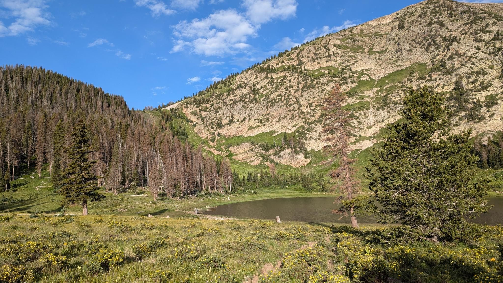
Santa Fe to Taos Thru-Hike — A journey across the Sangre de Cristo Mountains

Great Divide Mountain Bike Route — Cycling the spine of a continent
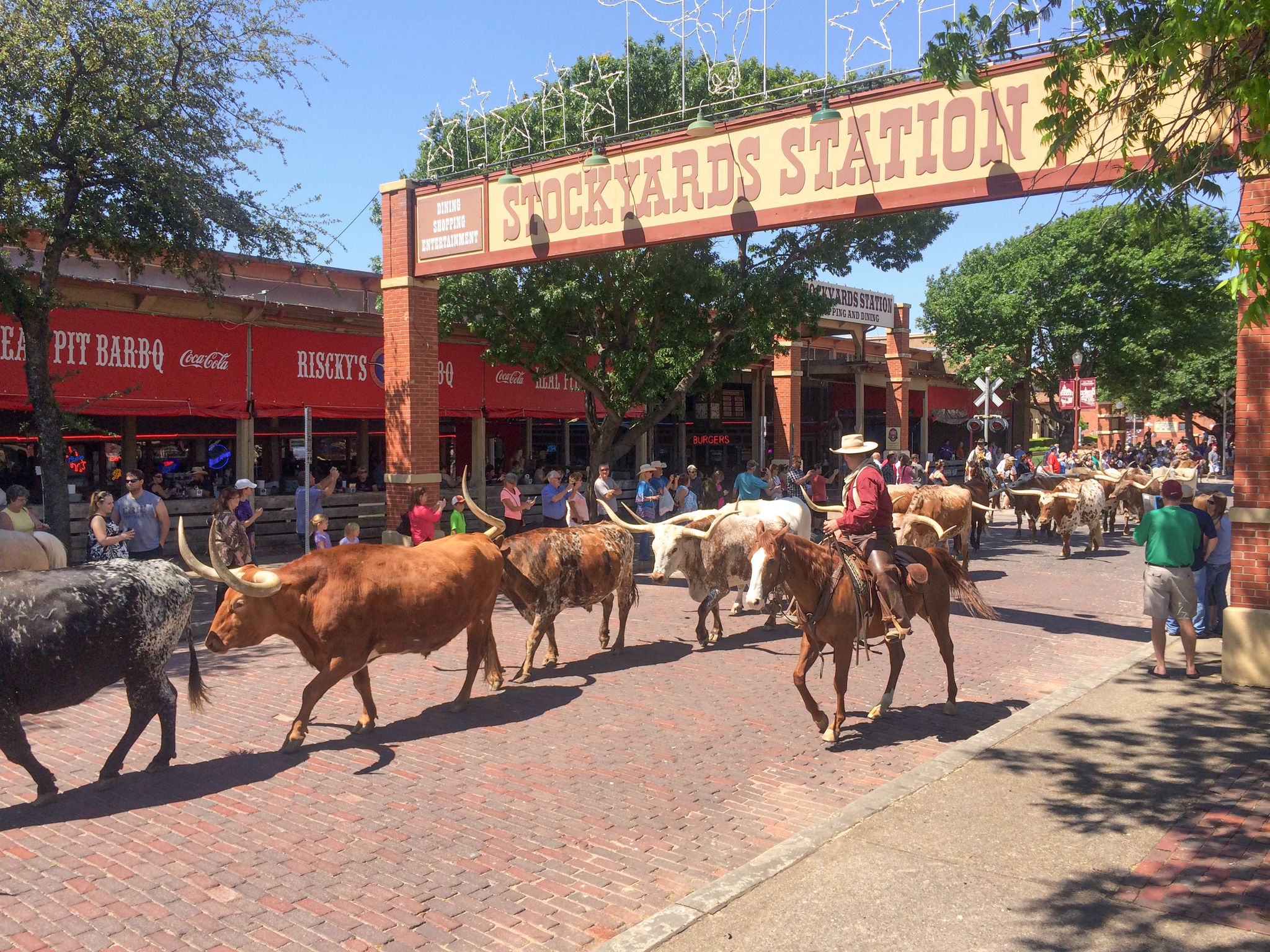
Cowboy country & Route 66 – Wild West meets legend

Mountain bike paradise around Salida in Colorado

Unforgettable MTB Adventures – IMBA Epic Trails in USA and Canada

Traffic-free bike rides in the Sangre de Christo Mountains

Traffic-free bike rides in the Sangre de Christo Mountains
Other adventures in the Sangre de Christo Mountains


Tips from the Community

Hillside Drive runs right along the historic Tennessee Pass Subdivision Railway for about a mile
0
0
The wide meadow on the eastern side of the Ute Trail Cameron Mtn Watershed Divide is a gradual section of the gravel forest road, with several seasonal and some permanent springs flowing toward Willow Creek. There are some convenient dispersed camping options along the edges of the meadow.
2
0
The summit of Calumet Mountain at 2956 m {about 9000 feet) rises to the west of Ute trail -here viewed across the west flank of the Continental divide, with higher snowcapped ranges in the distance
1
0
Large open meadow on the East side below this highpoint of Ute Trail, forming the gentle headwaters of Willow Creek. There are some good dispersed camp spots in respectful distance of the water and the forest road.
1
0
Once roaming wild by the millions, almost hunted to extinction, bison are now raised by some ranchers for specialty meat.
1
0
State Trust Land with Hunting and Fishing Access on more than 900,000 acres of land leased to Colorado Parks and Wildlife (CPW) for seasonal public hunting and fishing opportunities. Most properties are open seasonally for hunting and fishing ONLY, unless specifically authorized for wildlife viewing. STLs are typically open from Sept. 1 through the end of February, unless noted otherwise and are closed to public access all other times of the year. A valid hunting or fishing license is required to access State Trust Lands in this program, and unauthorized use or activity on these lands may be subject to enforcement from CPW or local authorities. From Hartsel, go 1.75 miles S on Hwy. 9 to CR 53. Go S for 15 miles to parking area on E boundary, S of CR 53.
2
0
The Salida River Trail is a popular walking and biking trail just a few blocks north of the Historic downtown. This attractive trail parallels the Arkansas River, where you can often see whitewater rafters and kayakers in the summer months. This northern section runs along two small lakes as well.
0
0
Sweeping views across open prairie to the snow-capped Rocky Mountains
1
0
Frequently Asked Questions
How many no-traffic gravel bike trails are available in the Sangre de Cristo Mountains?
Our guide features 10 carefully selected no-traffic gravel bike trails in the Sangre de Cristo Mountains. These routes offer a range of experiences, from easy rides to more challenging adventures, ensuring a quiet and scenic journey away from vehicle traffic.
What kind of scenery can I expect on these gravel bike trails?
The Sangre de Cristo Mountains offer incredibly diverse scenery. You'll ride through forested hills, lush valleys, and high-desert landscapes with panoramic mountain views. Expect dramatic mountain peaks, pristine alpine lakes, and cascading waterfalls. The region is also known for its unique alpenglow, which bathes the peaks in stunning colors at dusk.
Are there any easy no-traffic gravel bike trails suitable for beginners?
Yes, our guide includes 2 easy no-traffic gravel bike trails perfect for beginners or those looking for a relaxed ride. A great option is the Railroad trail, Hillside Dr – Salida River Trail loop from Salida, which offers a gentle introduction to gravel biking in the area.
What are some notable landmarks or natural features I can see along these routes?
Many trails offer access to stunning natural features. You might encounter the unique High Dune at Great Sand Dunes National Park, or the beautiful Zapata Falls. Other highlights include the serene Williams Lake and various prominent peaks like Wheeler Peak Summit.
Are there any longer or more challenging no-traffic gravel routes?
Absolutely. For experienced riders seeking a challenge, there are 2 difficult routes in this guide. The Calumet valley overlook – Calumet Mountain Overlook loop from Austin Trail (Railroad Gulch) Trailhead is a demanding option, covering over 111 km with significant elevation gain, offering a true test of endurance and skill.
When is the best time of year to go gravel biking in the Sangre de Cristo Mountains?
The best time for gravel biking in the Sangre de Cristo Mountains is typically from late spring through early autumn (May to October). During these months, the weather is generally favorable, and most trails are free of snow. Summer offers lush landscapes, while autumn brings spectacular fall foliage. Always check local conditions before heading out, especially for higher elevation routes.
What do other gravel bikers enjoy most about these trails?
The komoot community highly rates these trails, with an average score of 4.8 out of 5 stars. Riders frequently praise the sheer volume of quiet, remote unpaved roads, the breathtaking mountain views, and the diverse ecosystems encountered. The 'no traffic' aspect is a consistent highlight, allowing for a peaceful and immersive riding experience.
Are there any circular no-traffic gravel bike routes?
Yes, many of the no-traffic gravel bike trails in this guide are designed as circular routes, allowing you to start and end at the same point. For example, the La Tierra Trails Loop from Santa Fe offers a moderate loop with high-desert scenery and panoramic views.
What kind of wildlife might I encounter on these trails?
The Sangre de Cristo Mountains are home to diverse wildlife. While riding, you might spot elk, deer, bighorn sheep, and various bird species. Bear sightings are also possible, so it's always wise to be aware of your surroundings and carry bear spray if venturing into remote areas.
Are these no-traffic gravel bike trails suitable for families?
Many of the easier and moderate no-traffic gravel bike trails can be suitable for families, especially those with some biking experience. Look for routes with less elevation gain and shorter distances. The Railroad trail, Hillside Dr – Salida River Trail loop from Salida is an easy option that could be enjoyable for families.
Where can I find parking for these gravel bike trails?
Parking availability varies by trailhead. Many routes start from towns like Santa Fe or Salida, where public parking may be available. For trails near natural attractions, designated parking areas exist, such as the Dunes Trailhead at Great Sand Dunes National Park. Always check specific route details for recommended starting points and parking information.
Most popular routes in the Sangre de Christo Mountains
Most popular attractions in the Sangre de Christo Mountains

Get inspired with the komoot mobile app


Explore more
Browse the best Gravel rides in other regions.
