The best MTB trails in the Sangre de Christo Mountains
4.0
(7)
1,533
riders
78
rides
Mountain biking in the Sangre de Cristo Mountains offers diverse terrain, from towering peaks and alpine environments to dense forests and arid sagebrush at lower elevations. The region features numerous trails crisscrossing varied ecosystems, including unique transitions where the mountains meet the Great Sand Dunes National Park. Sparkling streams and pristine alpine lakes are also characteristic of this dramatic landscape, providing a challenging and scenic backdrop for mountain biking.
Best mountain bike trails in the Sangre de Christo Mountains
- The…
Last updated: July 7, 2026
117
riders
35.2km
03:46
740m
740m
Hard mountain bike ride. Good fitness required. Advanced riding skills necessary. Some portions of the route may require you to push your bike.
86
riders
14.2km
01:22
260m
260m
Hard mountain bike ride. Great for any fitness level. Advanced riding skills necessary. Some portions of the route may require you to push your bike.

Sign up for free
33
riders
14.4km
02:40
300m
300m
Moderate mountain bike ride. Good fitness required. Advanced riding skills necessary.
5.0
(1)
23
riders
36.2km
03:42
880m
870m
Hard mountain bike ride. Good fitness required. Advanced riding skills necessary. Some portions of the route may require you to push your bike.
21
riders
7.90km
00:49
190m
190m
Hard mountain bike ride. Great for any fitness level. Advanced riding skills necessary. Some portions of the route may require you to push your bike.
13
riders
30.5km
02:57
530m
530m
Moderate mountain bike ride. Good fitness required. Advanced riding skills necessary.
6
riders
9.51km
01:05
300m
300m
Hard mountain bike ride. Good fitness required. Advanced riding skills necessary. Some portions of the route may require you to push your bike.
8
riders
13.3km
01:31
440m
440m
Hard mountain bike ride. Good fitness required. Advanced riding skills necessary. Some portions of the route may require you to push your bike.
5
riders
15.1km
01:45
540m
540m
Moderate mountain bike ride. Good fitness required. Suitable for all skill levels.
4
riders
13.7km
01:38
610m
610m
Moderate mountain bike ride. Good fitness required. Suitable for all skill levels.
Get access to more routes and recommendations from other explorers.
Sign up for free
Already have an account?
Our route recommendations are based on thousands of hikes, rides, and runs completed by other people on komoot.
Start today with a free account
Your next adventure awaits.
Login or Signup
Popular around Sangre de Christo Mountains

Great Divide Mountain Bike Route — Cycling the spine of a continent

Mountain bike paradise around Salida in Colorado

Unforgettable MTB Adventures – IMBA Epic Trails in USA and Canada
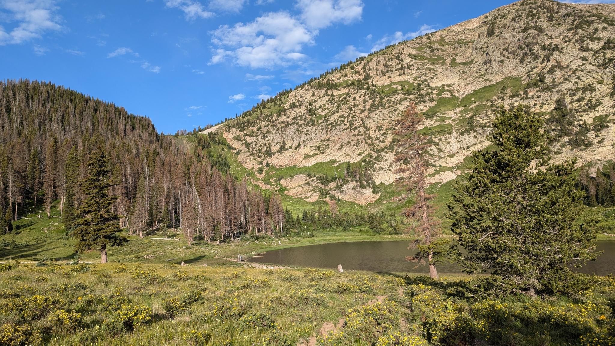
Santa Fe to Taos Thru-Hike — A journey across the Sangre de Cristo Mountains
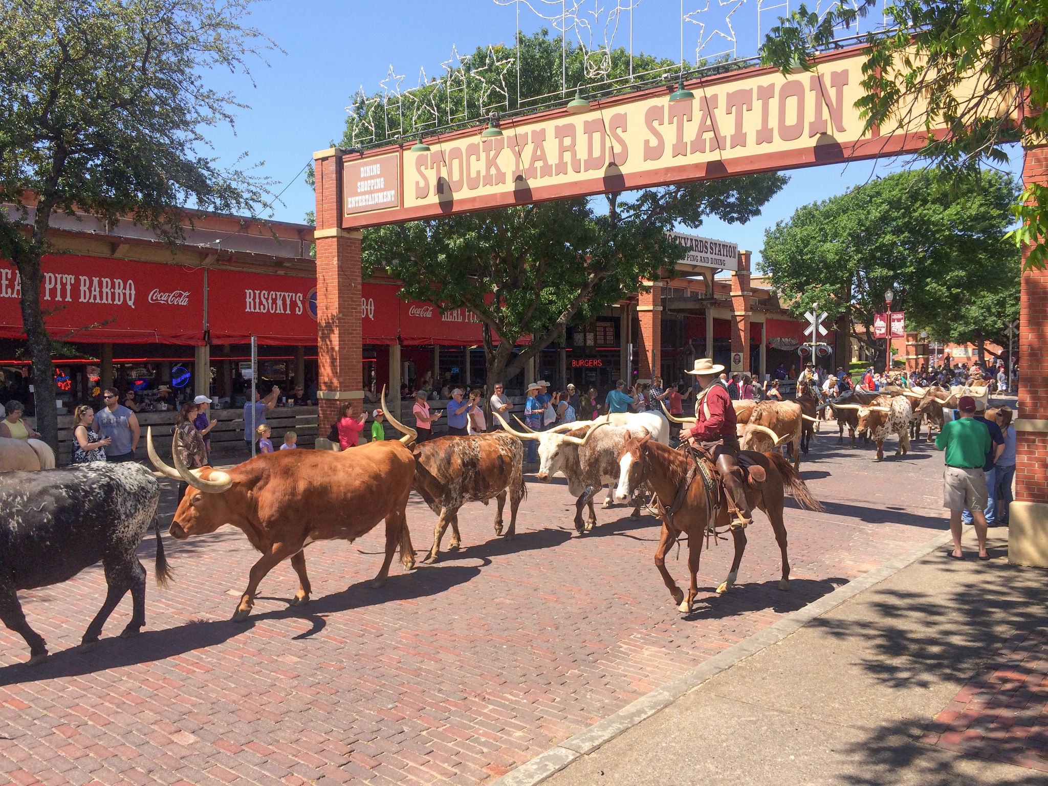
Cowboy country & Route 66 – Wild West meets legend
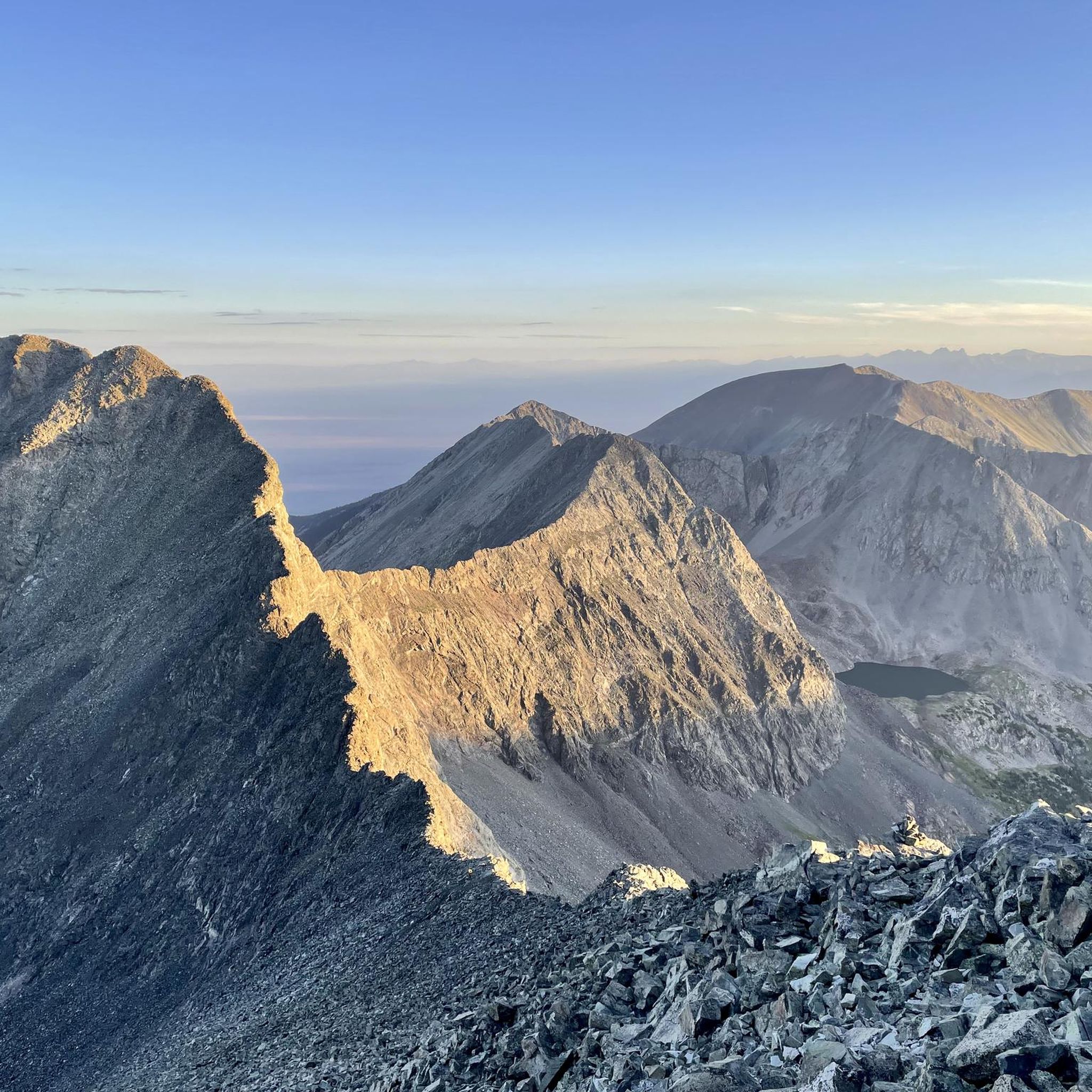
Hiking in the Sangre de Christo Mountains
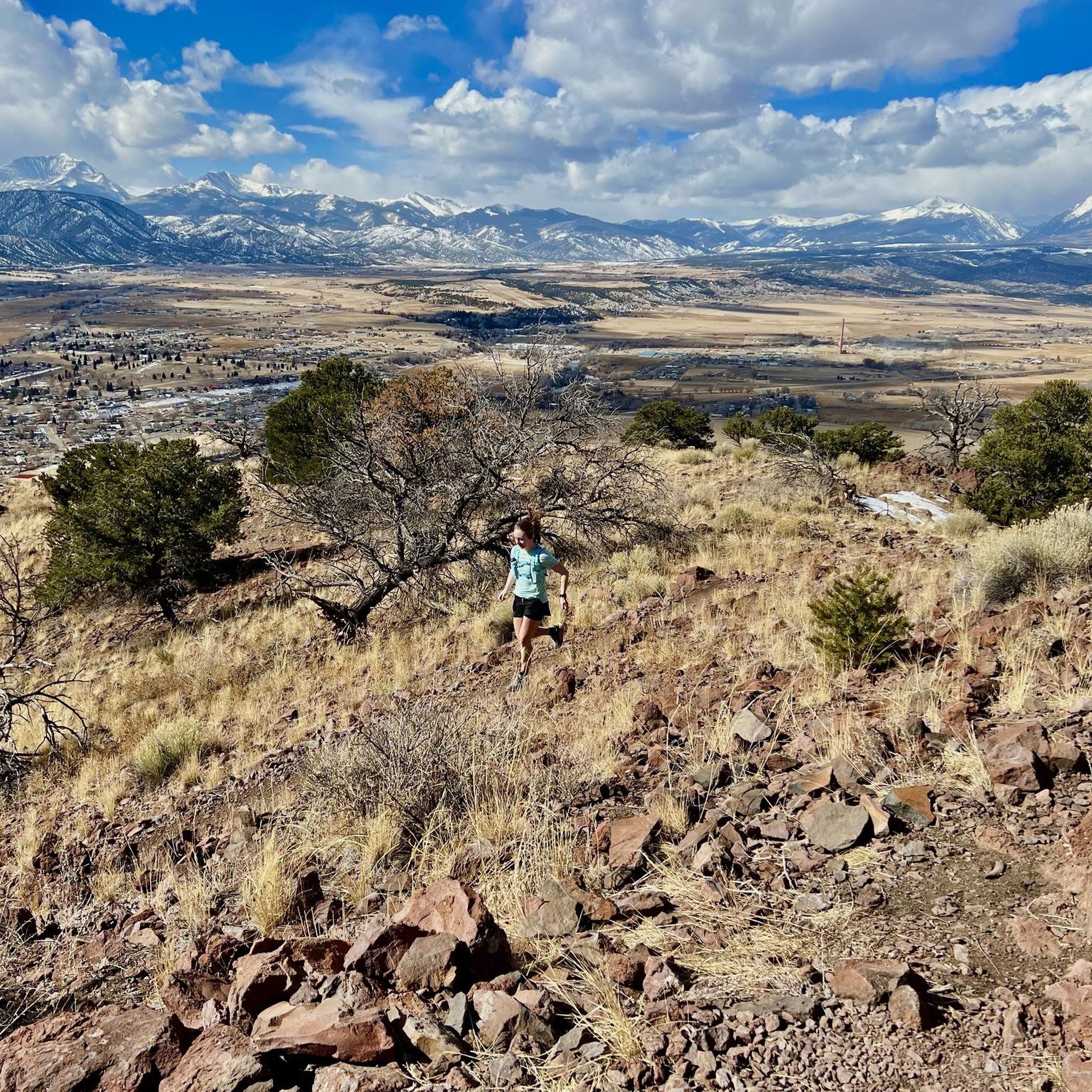
Running Trails in the Sangre de Christo Mountains
Road Cycling Routes in the Sangre de Christo Mountains
Cycling in the Sangre de Christo Mountains

Gravel biking in the Sangre de Christo Mountains
Other adventures in the Sangre de Christo Mountains


Tips from the Community


Alamos Vista is a fantastic trail on Tesuque Peak. You can ride it uphill or downhill, although downhill is recommended; riding up Aspen Vista and down Alamos Vista is a fantastic loop. Alamos Vista is steep and technical but not crazily so. The trail features tight, twisty turns through an aspen stand, making for a fantastic, scenic ride. Hikers also frequent this trail, so it's essential to stay alert and be courteous. The trail begins at the top of the Quad chairlift, intersecting with Gayway, and descends to the Aspen Vista trailhead and parking area.
0
0
Aspen Vista is a classic Santa Fe mountain bike trail, renowned for its stunning scenery. Although it is not a technical trail, this dirt forest road is steep, can be loose, and the elevation gain makes it quite challenging. As you climb 6 miles to the top of Ski Santa Fe, you get breathtaking views along the way over the mountains through the aspens. At the top, you can either turn around or opt for a thrilling descent down Alamos Vista—a steep, loose, and technical trail where a full-suspension bike is essential, or you can turn around and ride down the way you came.
0
0

At 12,047 feet, Tesuque Peak is one of the tallest mountains in the Sangre de Cristo Range in New Mexico. The peak reaches above treeline, and you get to share the summit with some radio and cell towers.
0
0
Dale Ball Trail #2-#3 are some of the northernmost trails in the excellent Dale Ball Trails just east of Santa Fe. This section can be access via the Sierra del Norte Trailhead, or you can ride up on the other Dale Ball Trails from two other parking areas and Trailheads along Cerro Gordo Road.
0
0
Dale's Trail #24 is one of many in the extensive Dale Ball network. This super popular mountain biking area is conveniently located close to downtown Santa Fe and perfect to get in a bit of amazing single track during your lunch break or after work. This section of trail (#24) is how many access/exit this great trail system.
0
0
The Juan Trail, or Burn Trail, offers a short, steep climb to a ridgetop followed by an epic descent to the Winsor Trail making it a popular mountain biking trail. Expect loose, rocky dirt and sandy, sometimes wet stream beds. The trail has many junctions, allowing for various loops or a route east to Hyde Memorial State Park. Renowned for its fast, technical, and fun downhill sections, it’s a local favorite with amazing views. Once you reach the Winsor Trail, you can climb up to Chamisa Trail #183 and loop back on Saddleback Trail #232 or make a smaller loop via the Carol Trail.
0
0
Frequently Asked Questions
How many mountain bike trails are available in the Sangre de Cristo Mountains?
The Sangre de Cristo Mountains offer a wide selection of mountain bike routes, with over 70 trails recorded on komoot. These range from easy paths to challenging ascents, catering to various skill levels.
What kind of terrain can I expect when mountain biking in the Sangre de Cristo Mountains?
You'll encounter diverse terrain, from towering peaks and alpine environments to dense forests, lush meadows, and arid sagebrush at lower elevations. The region also features unique transitions, such as where the mountains meet the Great Sand Dunes National Park, offering a varied and scenic riding experience.
Are there any easy mountain bike trails suitable for beginners or families?
Yes, while many trails are moderate to difficult, there are 5 easy routes available. For a moderate option that offers diverse scenery, consider the Outer Dale Ball Trails loop, which is 14.4 km long and takes around 2 hours 40 minutes to complete.
What are some challenging mountain bike trails for experienced riders?
Experienced riders will find plenty of challenging options, with 42 difficult routes available. The Cottonwood Loop is a demanding 35.2 km path with significant elevation gain, typically taking around 3 hours 45 minutes. Another difficult option is the Bear Creek - Rainbow Trail - Pot-o-Gold Loop, spanning 36.2 km.
Are there any mountain bike trails that are loop routes?
Yes, many trails in the Sangre de Cristo Mountains are designed as loops. Examples include the Outer Dale Ball Trails loop, the Cottonwood Loop, and the Sweet Dreams and Chicken Dinner Loop, offering convenient circular rides.
What natural attractions can I see near the mountain bike trails?
The region is rich in natural beauty. You can visit Zapata Falls, a stunning waterfall nestled in a mountain crevasse, or explore the unique landscape of High Dune and Medano Creek within the Great Sand Dunes National Park and Preserve.
What do other mountain bikers say about the trails in the Sangre de Cristo Mountains?
The mountain bike routes in the Sangre de Cristo Mountains are highly rated by the komoot community, with an average score of 3.5 stars. Over 1200 mountain bikers have used komoot to explore the varied terrain, often praising the spectacular views and diverse ecosystems.
Are there any trails that are part of the historic Rainbow Trail?
Yes, the historic Rainbow Trail, which stretches over 100 miles, is incorporated into several mountain biking routes. For example, the Silver Creek - Rainbow Trail Loop is a moderate 30.5 km route that includes sections of this notable trail.
Where can I find parking for mountain biking in the Sangre de Cristo Mountains?
Parking is available at various trailheads. For instance, the Dunes Trailhead at Great Sand Dunes National Park is a known parking spot, and the Atalaya Mountain Trailhead also provides access to trails.
What is the best time of year to go mountain biking in the Sangre de Cristo Mountains?
The best time for mountain biking is typically from late spring through early autumn. This period offers more favorable weather conditions, with less snow at higher elevations and generally drier trails. Always check local conditions before heading out, especially in shoulder seasons.
Are there any trails that offer views of the Great Sand Dunes?
Yes, some trails in the Sangre de Cristo Mountains provide scenic views that integrate the majestic mountain range with the unique landscape of the Great Sand Dunes and the San Luis Valley, enhancing the riding experience.
Most popular routes in the Sangre de Christo Mountains
Most popular attractions in the Sangre de Christo Mountains

Get inspired with the komoot mobile app


Explore more
Browse the best MTB trails in other regions.
