Top 5 Mountain Passes around Saint-Alyre-Ès-Montagne
Mountain passes around Saint-Alyre-Ès-Montagne are situated within the Cézallier massif, part of the Natural Regional Park of the Volcanoes of Auvergne. This area features mountainous terrain with altitudes often exceeding 1,400 meters, characterized by gentle, rounded slopes and extensive high summer pastures. The region offers access to various natural landscapes, including lakes and peat bogs. These passes provide viewpoints over the surrounding volcanic landscape.
Best mountain passes around Saint-Alyre-Ès-Montagne
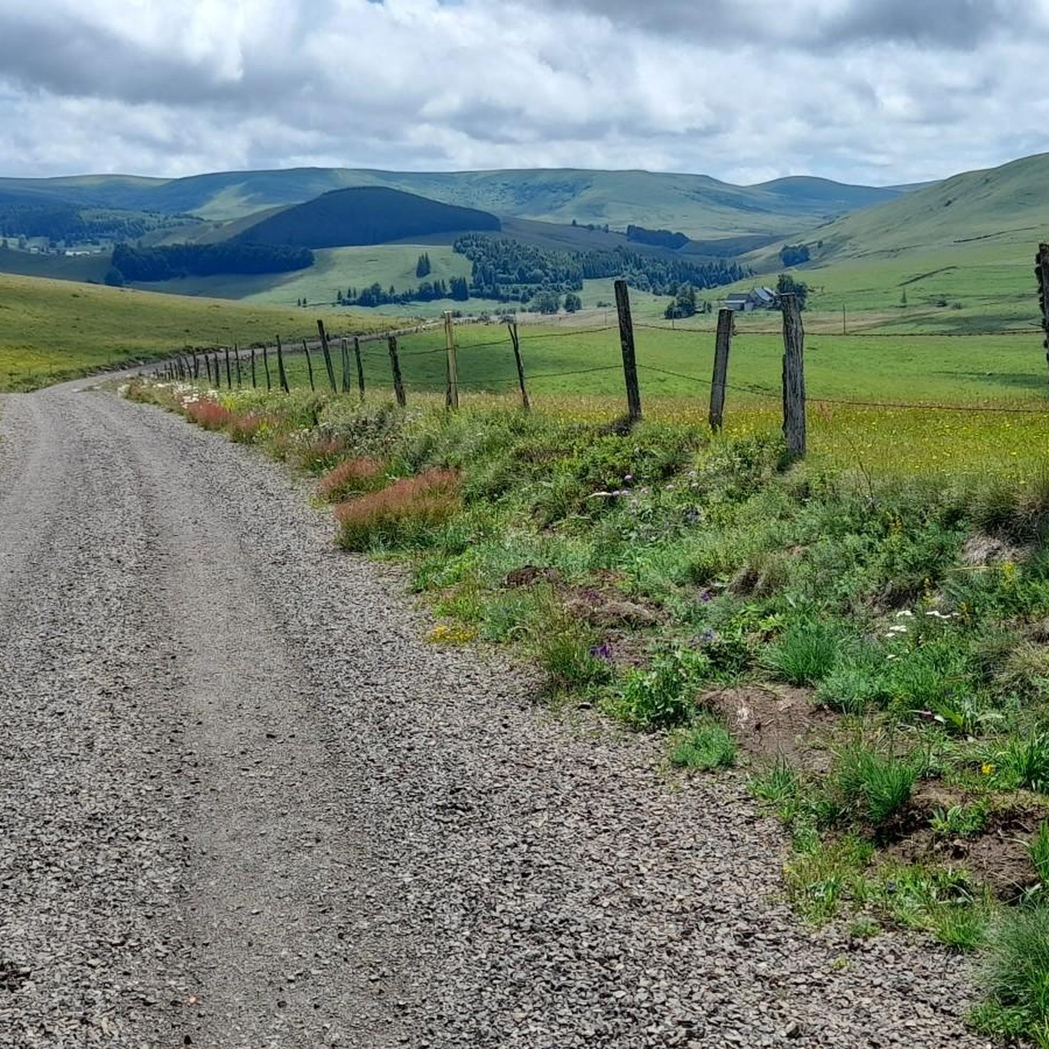
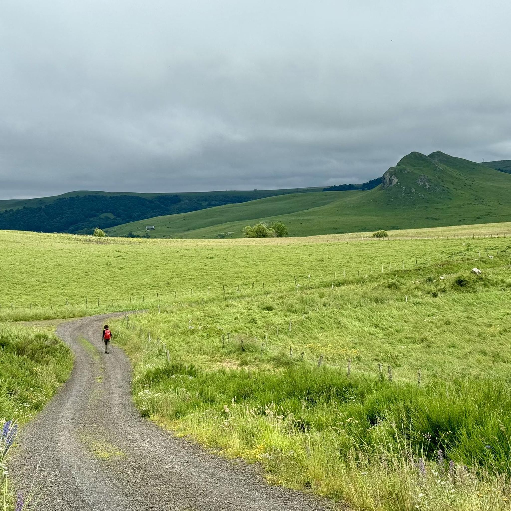
- The most popular mountain pass is Chamaroux Pass, a mountain pass that is 2.6 km long with a total drop of 63 m. It offers panoramic views of Mount Chamaroux and the Cézallier summer pastures.
- Another must-see spot is Volpilière Pass, a viewpoint located next to Saint-Alyre-ès-Montagne. This pass reaches 1227 meters above sea level and provides views of Le Mont Chabrut and Le Luguet.
- Visitors also love Col de Montgreleix (1238 m), a mountain pass and climb located in the Cantal region. This climb is 3.9 kilometers long, with an elevation gain of 245 meters.
- Saint-Alyre-Ès-Montagne is known for mountain passes, viewpoints, and climbs. The area offers a variety of routes for cycling and hiking, with options ranging from intermediate climbs to quiet roads.
- The mountain passes around Saint-Alyre-Ès-Montagne are appreciated by the komoot community, with 4 highlights receiving 31 upvotes and 11 photos.
Last updated: September 2, 2026
Volpilière Pass
Highlight • Viewpoint
Translated by Google •
Tip by

Col de Chamaroux
Highlight • Mountain Pass
It is glaciers that planed this ancient volcanic massif, which takes you to Scotland and Mongolia, without you having to take a plane.
Translated by Google •
Tip by

Sign up now to discover places like this
Get recommendations on the best single tracks, peaks, & plenty of other exciting outdoor places.
Sign up for free
Col de Montgreleix (1238 m)
Highlight • Mountain Pass
Translated by Google •
Tip by
Chamaroux Pass
Highlight • Mountain Pass
Translated by Google •
Tip by

Col de Vestizoux (1317 m)
Highlight • Mountain Pass
Translated by Google •
Tip by
Sign up for free to discover even more mountain passes around Saint-Alyre-Ès-Montagne.
Sign up for free
Already have an account?
Start today with a free account
Your next adventure awaits.
Login or Signup
Popular around Saint-Alyre-Ès-Montagne

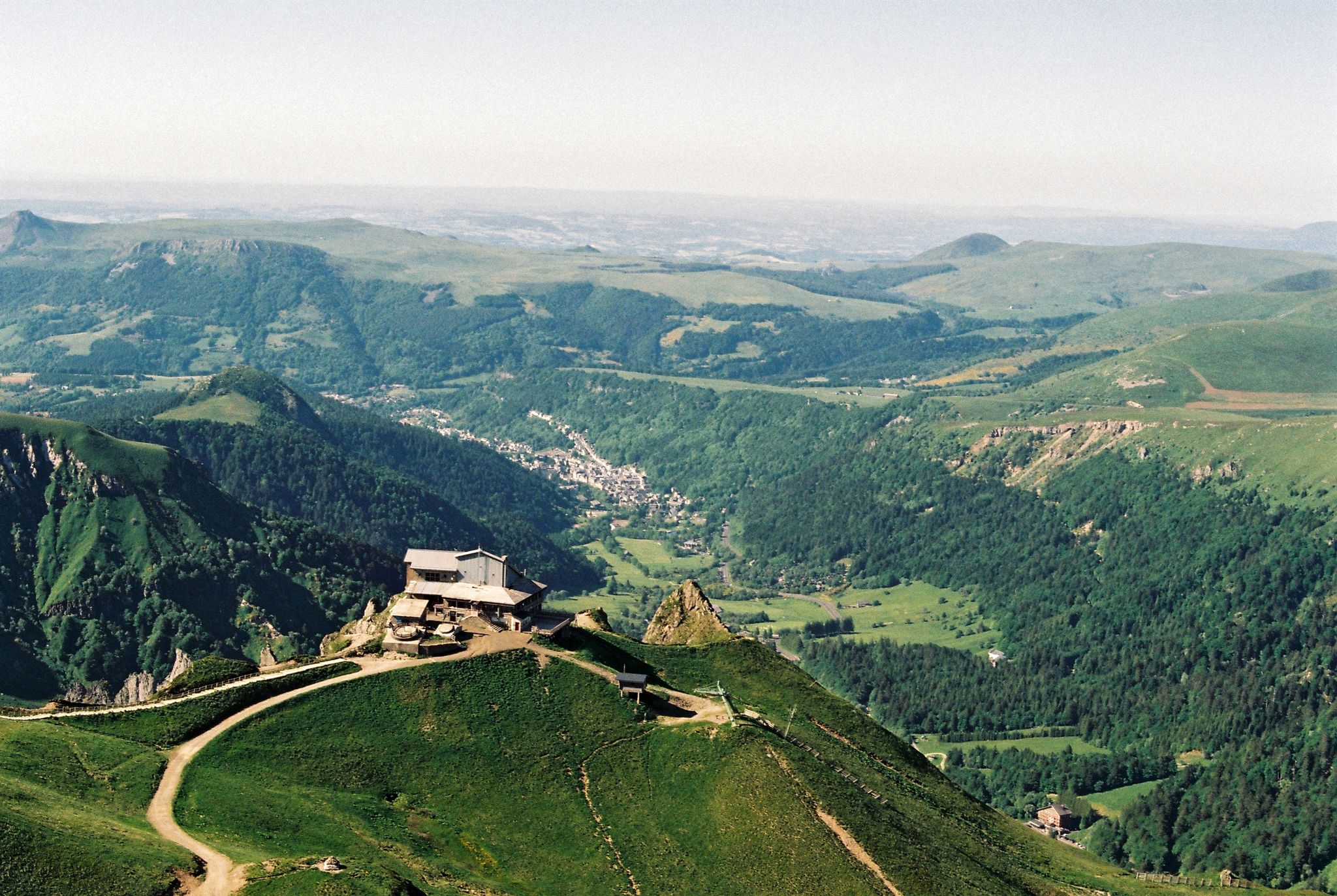
The Grande traversée du Massif Central by gravel bike
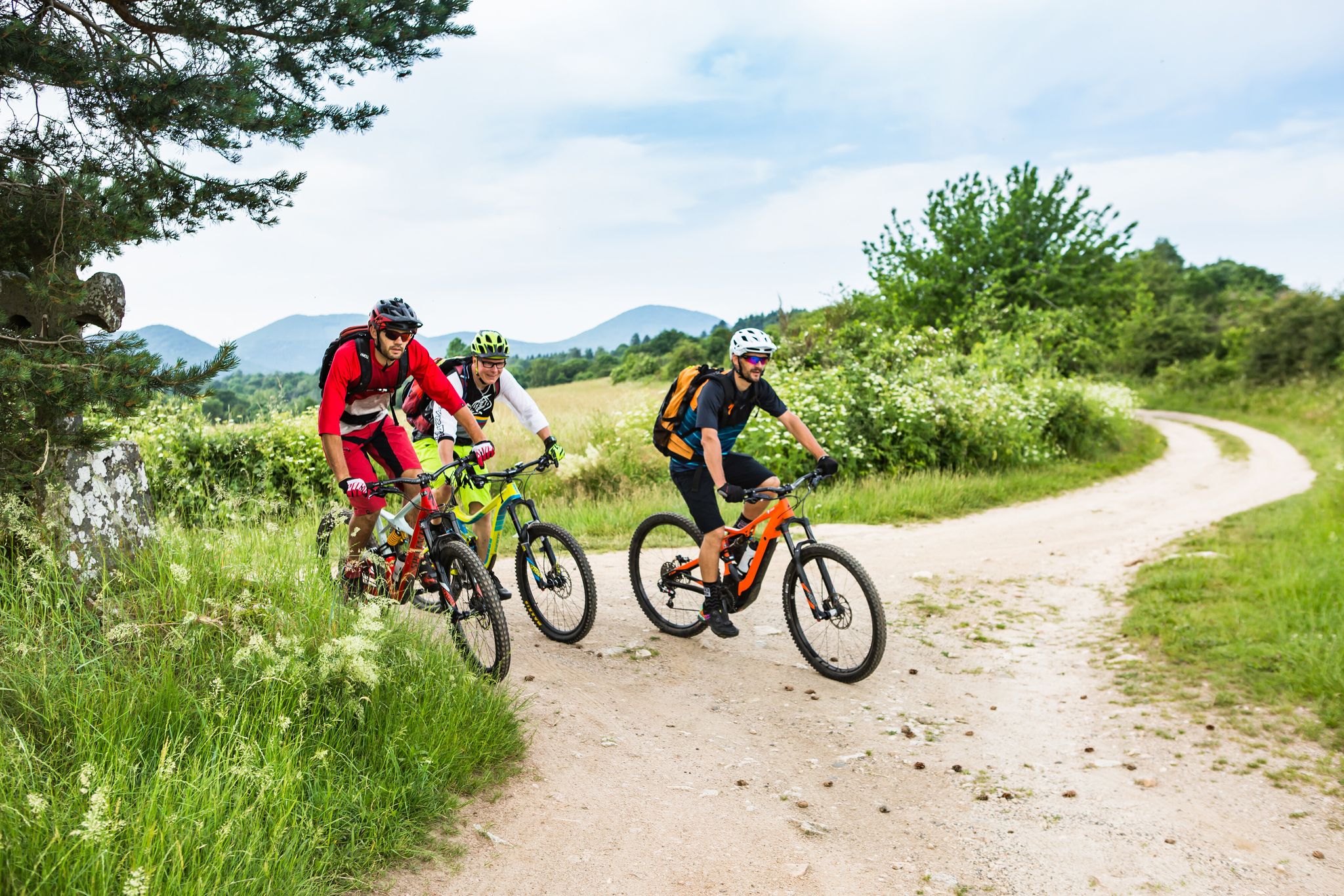
Crossing the volcanoes of Auvergne – Stromboliens, peléens and maars
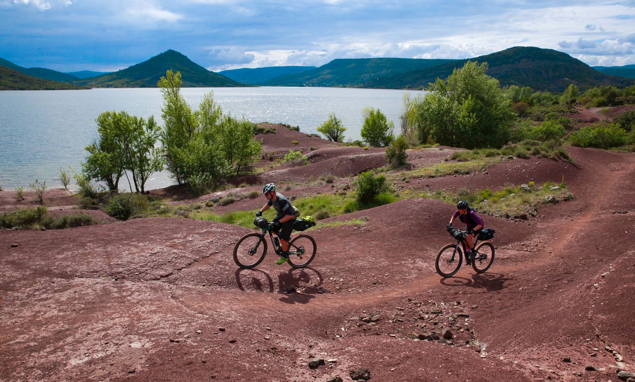
Conquering the trails – Auvergne by MTB
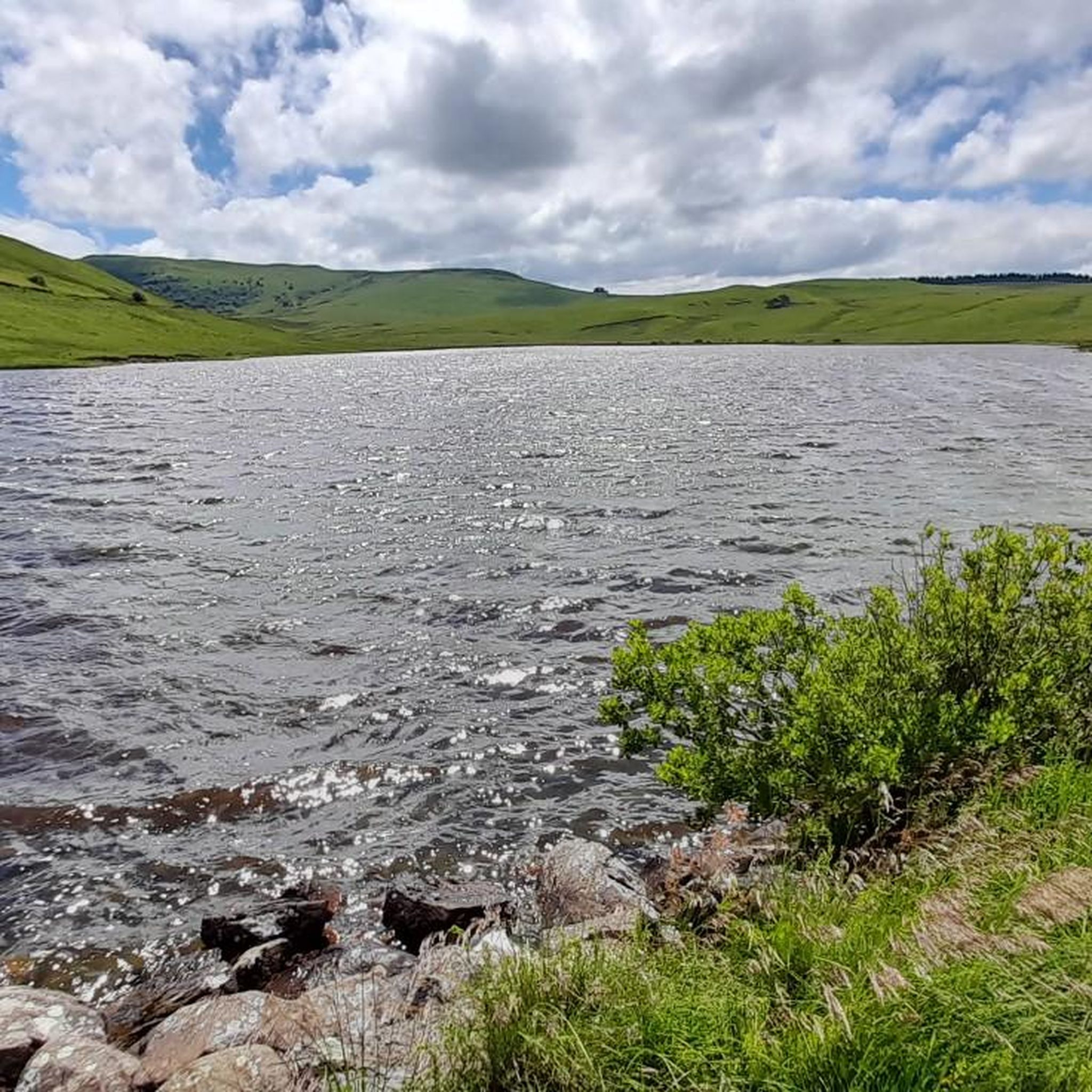
The Great Crossing of France's Massif Central by mountain bike
Road Cycling Routes around Saint-Alyre-Ès-Montagne
Hiking around Saint-Alyre-Ès-Montagne
MTB Trails around Saint-Alyre-Ès-Montagne
Running Trails around Saint-Alyre-Ès-Montagne
Cycling around Saint-Alyre-Ès-Montagne
Gravel biking around Saint-Alyre-Ès-Montagne
Other adventures around Saint-Alyre-Ès-Montagne


Tips from the Community

very pretty pass typical of Cezallier
1
0
Pleasant and fairly easy. Beautiful route.
0
0

Not too difficult, I did it on a mountain bike.
0
0

Beautiful Cézalier pass with a view of the Sancy massif
0
0

The Col de Chamaroux de Boutaresse is 2.6 km long with a total drop of 63 m. The average gradient is 2.4% with maximum gradients of 6.9%.
3
0

Car-free roads to fully enjoy a beautiful bike route
0
0

Located next to Saint Alyre Es Montagne, the top of the pass offers us a view of Le Mont Chabrut and Le Luguet. The highest point is 1227 meters above sea level. This climb is 16.6 kilometers long, for an elevation gain of 628 meters. Col de la Volpilière from Ardes has an average gradient of 3.8%.
0
0
Frequently Asked Questions
Which mountain passes offer the most scenic views in the Cézallier region?
For panoramic vistas, Chamaroux Pass provides exceptional views of Mount Chamaroux and the Cézallier summer pastures. Volpilière Pass, at 1227 meters, offers views of Le Mont Chabrut and Le Luguet, and is appreciated for its beautiful Cézallier scenery with glimpses of the Sancy massif.
What kind of terrain can I expect when visiting the mountain passes around Saint-Alyre-Ès-Montagne?
The passes are situated within the Cézallier massif, characterized by gentle, rounded slopes and vast stretches of high summer pastures. The region's mountainous terrain often exceeds 1,400 meters, offering a unique landscape shaped by ancient volcanoes and glaciers.
Are there cycling routes that incorporate these mountain passes?
Yes, the region is popular for cycling. For example, the climb to Volpilière Pass is a notable route, approximately 16.6 kilometers long with an elevation gain of 628 meters. The Col de Vestizoux (1317 m) is also a popular cycling destination, known for its manageable climbs. You can find various cycling routes around the area on the Cycling around Saint-Alyre-Ès-Montagne guide.
What hiking opportunities are available near the mountain passes?
The area offers a variety of hiking trails. The Cézallier region, with its diverse natural landscapes including lakes and peat bogs, provides a rich environment for outdoor enthusiasts. You can explore trails like the Jassy Loop or the Signal du Luguet loop. More hiking options are detailed in the Hiking around Saint-Alyre-Ès-Montagne guide.
Is the Grande Traversée du Massif Central (GTMC) accessible from any of these passes?
Yes, a section of the Grande Traversée du Massif Central (GTMC) route passes near Chamaroux Pass. This offers exceptional panoramic views and is generally passable for gravel and touring bikes with sturdy tires, though access can be rocky in some parts.
How challenging are the climbs for cyclists on these passes?
Climbs vary in difficulty. For instance, the ascent to Volpilière Pass from Ardes has an average gradient of 3.8% over 16.6 km. Col de Montgreleix (1238 m) from La Renordie is 3.9 km long with an average gradient of 6.3%. The Col de Vestizoux (1317 m) is considered not very difficult, with gradients around 2.7% to 4.6% depending on the approach.
What natural features can I see in the vicinity of these mountain passes?
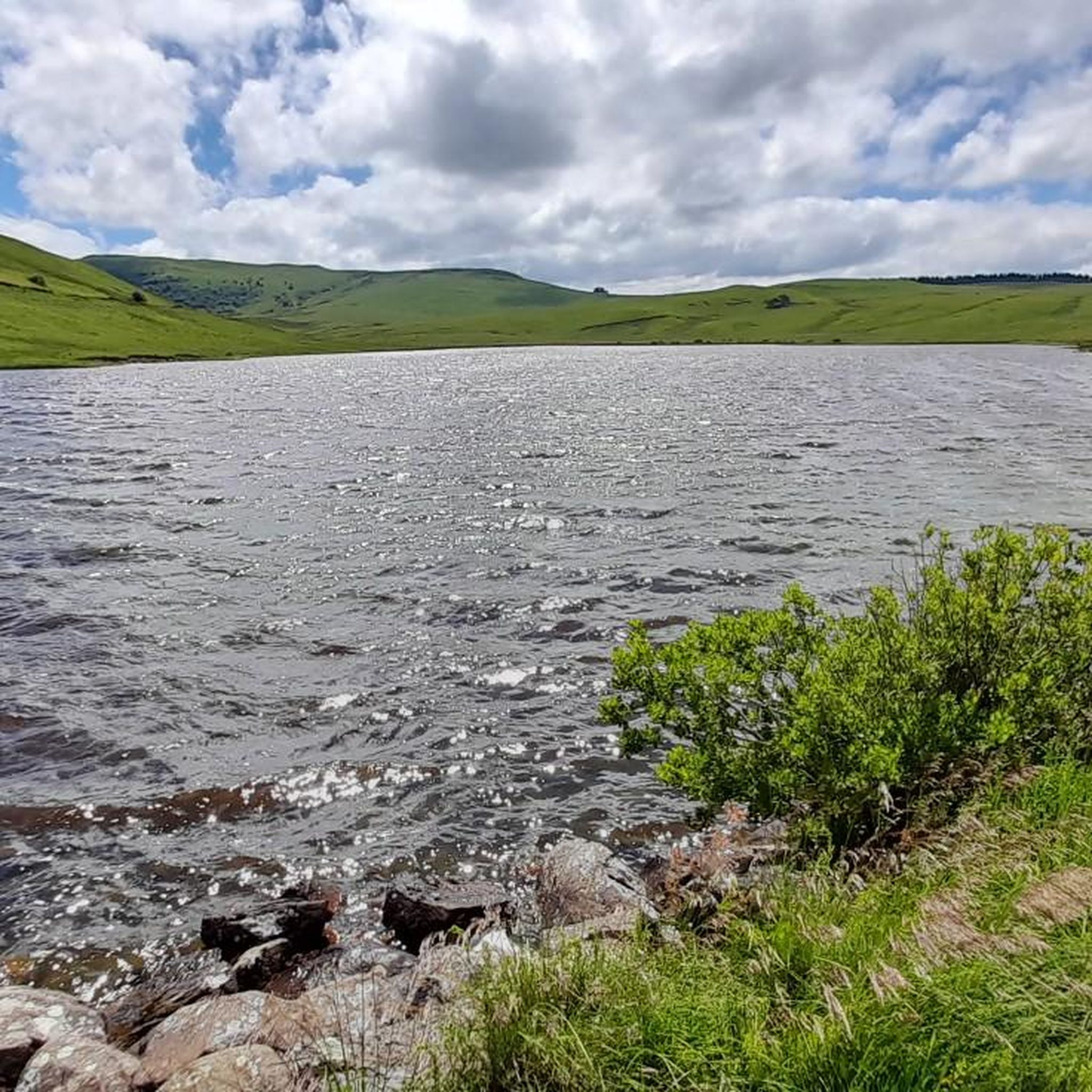
Beyond the passes themselves, the region boasts a variety of natural landscapes including lakes, such as the exceptional circular Pavin Lake and Montcineyre Lake (both volcanic in origin), as well as peat bogs and waterfalls. These features contribute to the rich environment for outdoor enthusiasts.
What do visitors enjoy most about the mountain passes around Saint-Alyre-Ès-Montagne?
Visitors frequently appreciate the quiet, car-free roads, the magnificent panoramic views of the Cézallier summer pastures, and the unique, gentle, rounded landscapes that evoke a sense of tranquility. The changing atmospheres along various routes, especially those passing by volcanic lakes, are also highly valued.
Are the mountain passes around Saint-Alyre-Ès-Montagne suitable for gravel or touring bikes?
Yes, some sections, like the access from Chamaroux Pass, can be rocky but are generally passable for gravel and touring bikes with sturdy tires. The descent to Prades from Chamaroux is noted as very smooth.
What is the highest mountain pass in the Cézallier region around Saint-Alyre-Ès-Montagne?
The highest road pass in the Cézallier is Col de Vestizoux, reaching an altitude of 1317 meters above sea level.
Are there any running trails near the mountain passes?
Yes, the area offers various running trails. You can find routes like the 'Around Bonjon' trail loop or the 'Trail Below Signal du Luguet' loop. For more options, refer to the Running Trails around Saint-Alyre-Ès-Montagne guide.
Most popular routes around Saint-Alyre-Ès-Montagne
Most popular attractions around Saint-Alyre-Ès-Montagne

Get inspired with the komoot mobile app


Explore more
See even more epic mountain passes by checking out these guides around Saint-Alyre-Ès-Montagne:
