The best walks and hikes around Saint-Alyre-Ès-Montagne
4.4
(257)
1,794
hikers
63
hikes
Hiking trails around Saint-Alyre-Ès-Montagne traverse the mountainous terrain of the Cézallier massif, situated within the Natural Regional Park of the Volcanoes of Auvergne. This area is characterized by its volcanic landscapes, which include craters, lakes, and plateaus, with altitudes often exceeding 1,400 meters. The region features diverse natural elements such as picturesque lakes, unique peat bogs, and several waterfalls, alongside lush forests.
Best hiking trails around Saint-Alyre-Ès-Montagne
- The most popular hiking route is Jassy Loop, a 9.3 miles (15.0…
Last updated: July 9, 2026
4.8
(62)
371
hikers
15.0km
04:12
290m
290m
Hike the moderate 9.4-mile Jassy Loop in Parc naturel régional des Volcans d'Auvergne, featuring waterfalls and lake views.
4.3
(6)
37
hikers
13.8km
03:47
220m
220m
Moderate hike. Good fitness required. Easily-accessible paths. Suitable for all skill levels.

Sign up for free
5.0
(2)
41
hikers
6.62km
01:58
210m
210m
Easy hike. Great for any fitness level. Easily-accessible paths. Suitable for all skill levels.
4.7
(3)
10
hikers
17.3km
04:50
340m
340m
Moderate hike. Good fitness required. Easily-accessible paths. Suitable for all skill levels.
10
hikers
9.07km
02:36
220m
220m
Moderate hike. Good fitness required. Easily-accessible paths. Suitable for all skill levels.
Get access to more routes and recommendations from other explorers.
Sign up for free
Already have an account?
Our route recommendations are based on thousands of hikes, rides, and runs completed by other people on komoot.
Start today with a free account
Your next adventure awaits.
Login or Signup
Popular around Saint-Alyre-Ès-Montagne
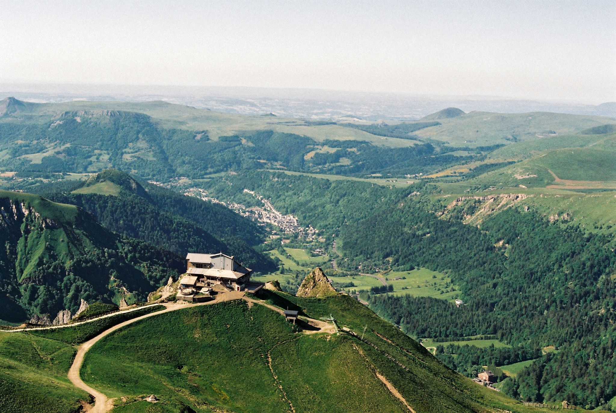
Crossing the volcanoes of Auvergne – Stromboliens, peléens and maars

The Grande traversée du Massif Central by gravel bike
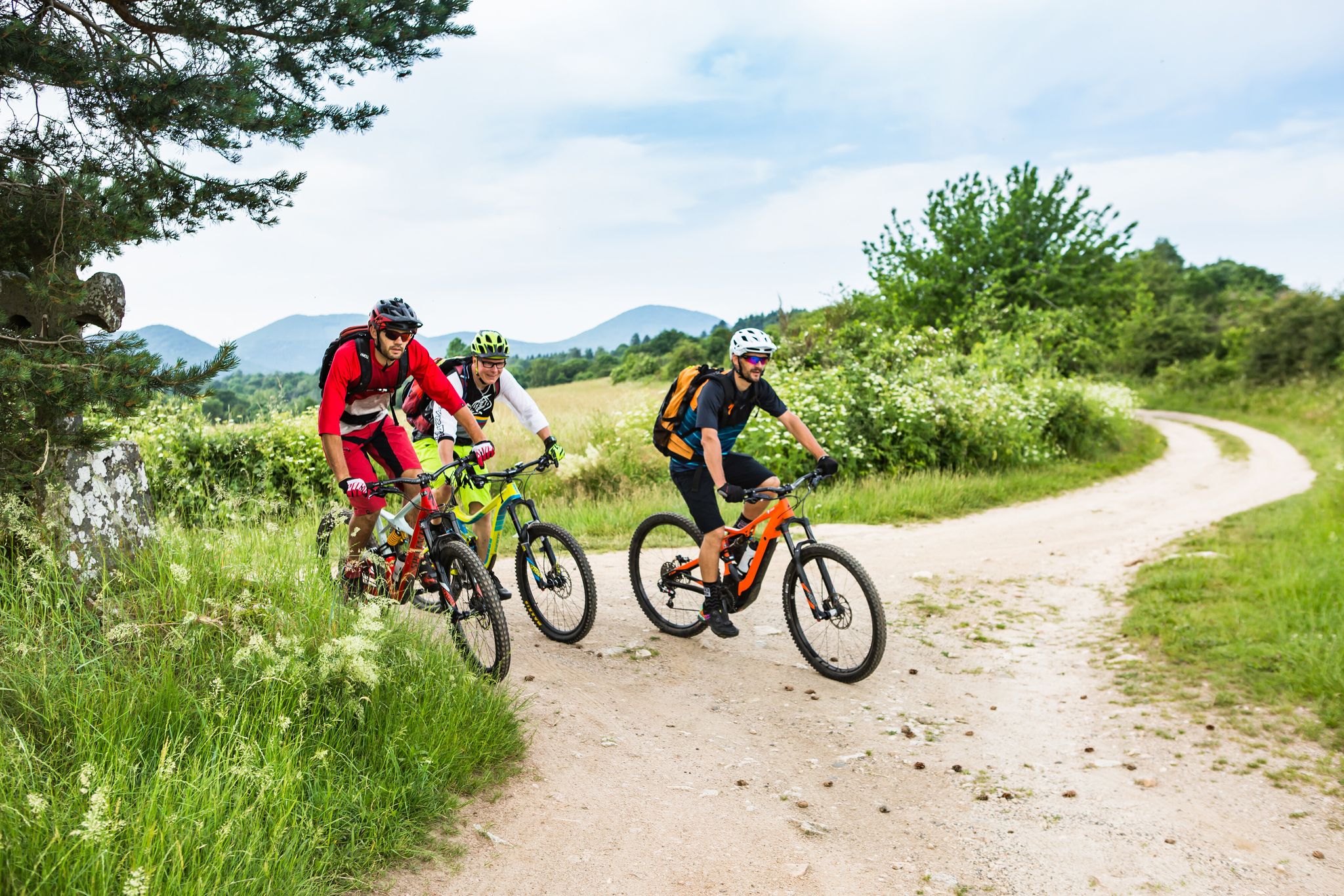
Conquering the trails – Auvergne by MTB
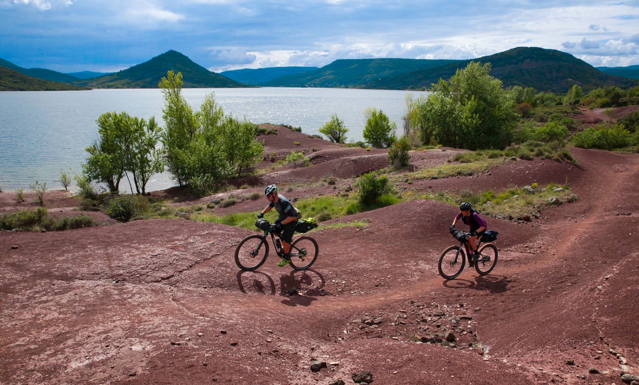
The Great Crossing of France's Massif Central by mountain bike
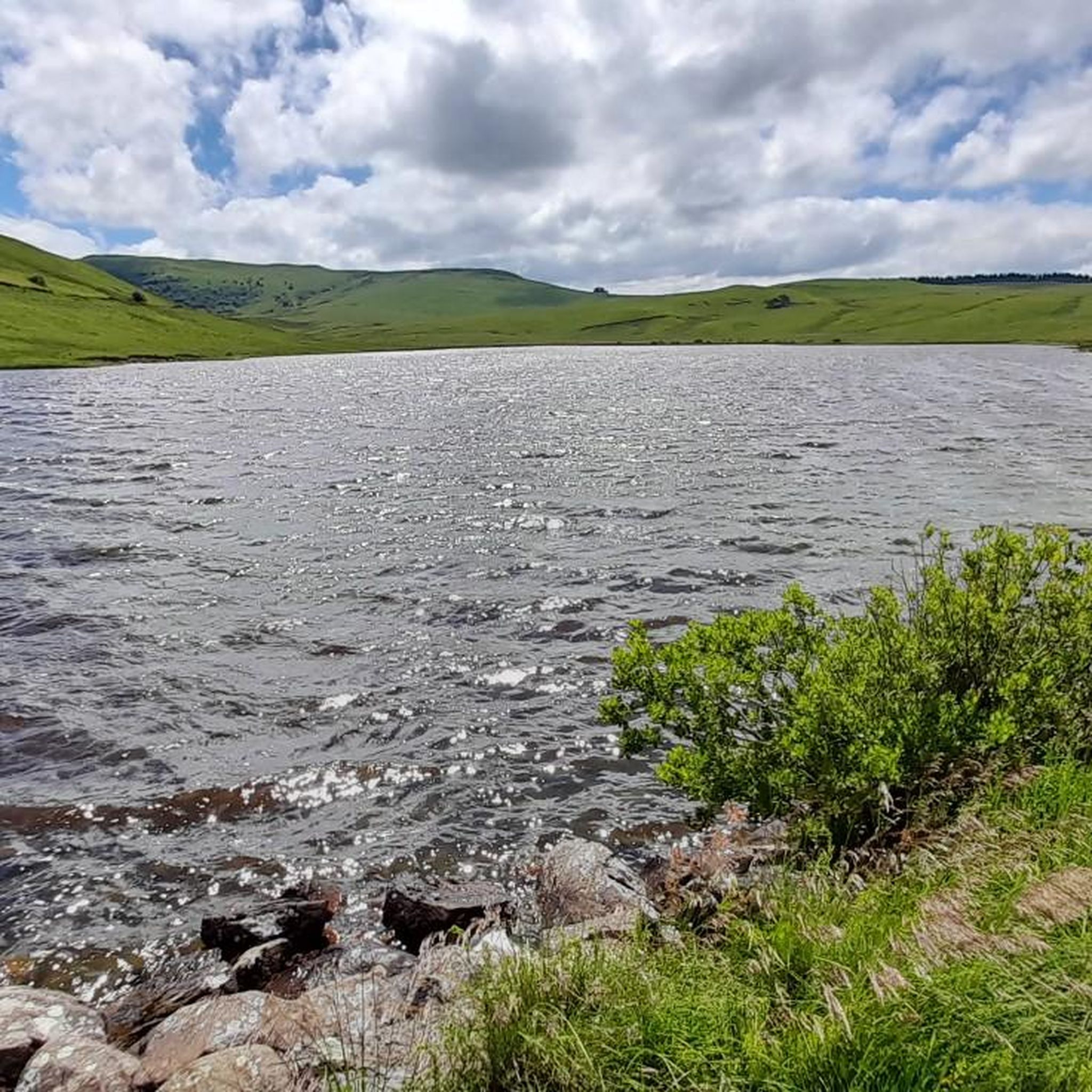
Road Cycling Routes around Saint-Alyre-Ès-Montagne
MTB Trails around Saint-Alyre-Ès-Montagne
Cycling around Saint-Alyre-Ès-Montagne
Running Trails around Saint-Alyre-Ès-Montagne

Gravel biking around Saint-Alyre-Ès-Montagne
Other adventures around Saint-Alyre-Ès-Montagne


Tips from the Community

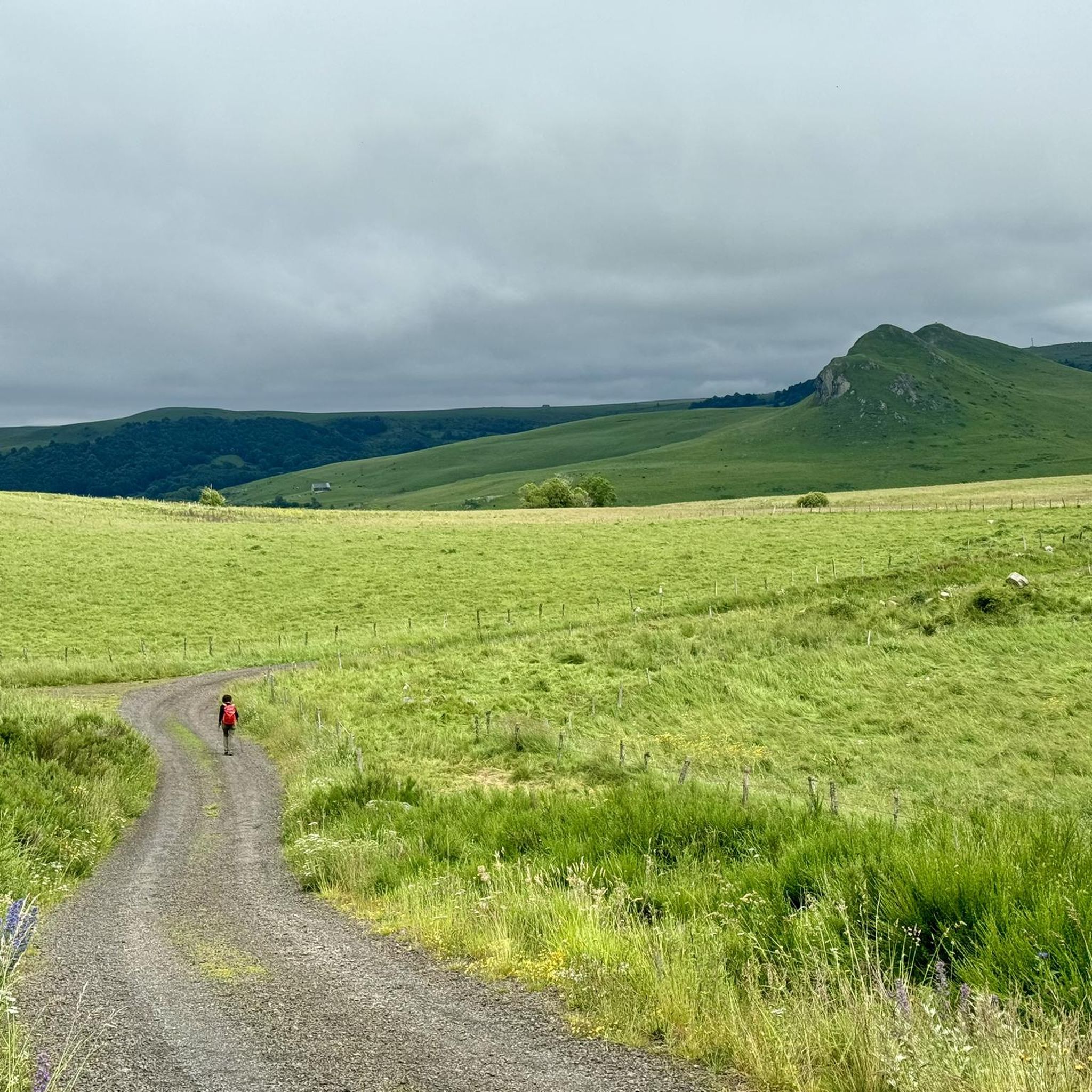
Cézallier summit known for its high plateaus with a Mongolian feel
0
0

To do at least once
0
0


drinking water accessible from a tap at the cabin level 👍
1
0

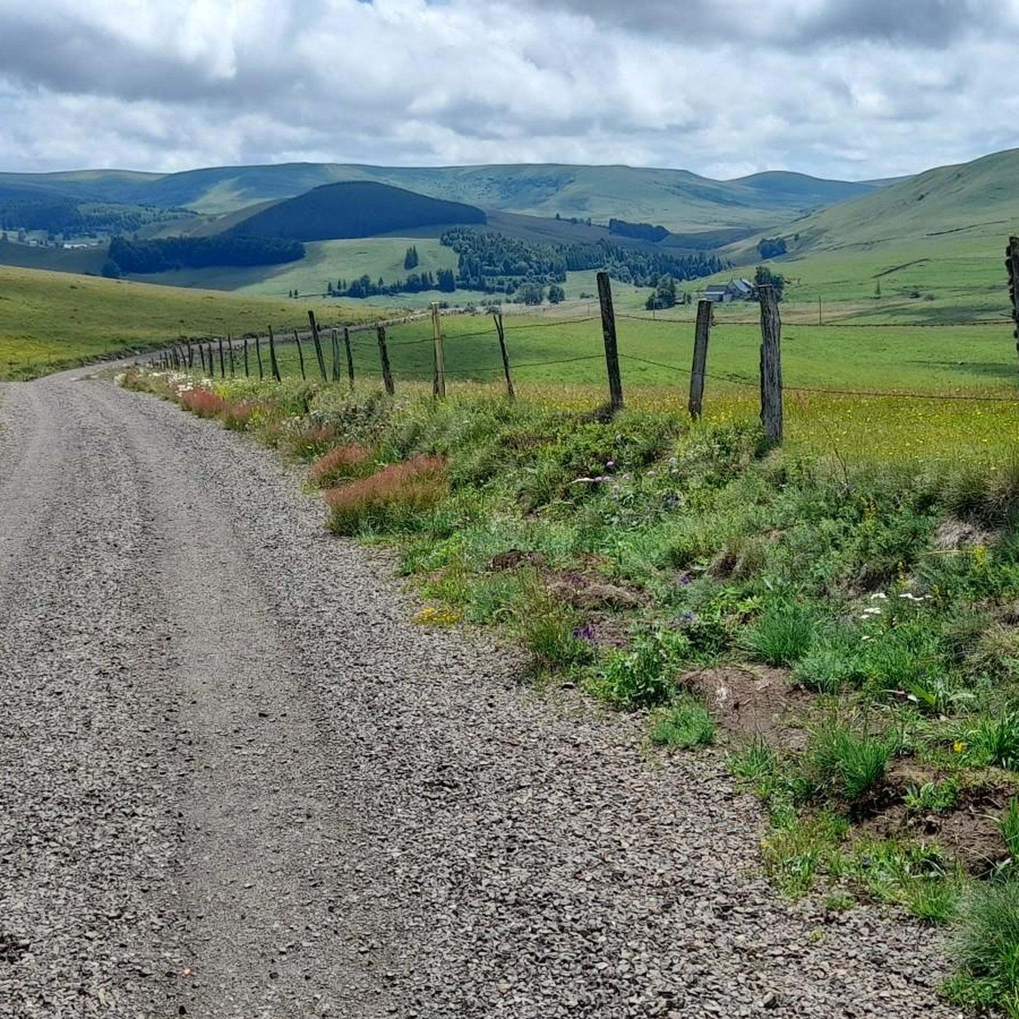
This gravel path located in the middle of the fields offers a unique perspective on the surrounding landscapes.
0
0

Too bad that the only refreshment point reported nearby is closed
0
0

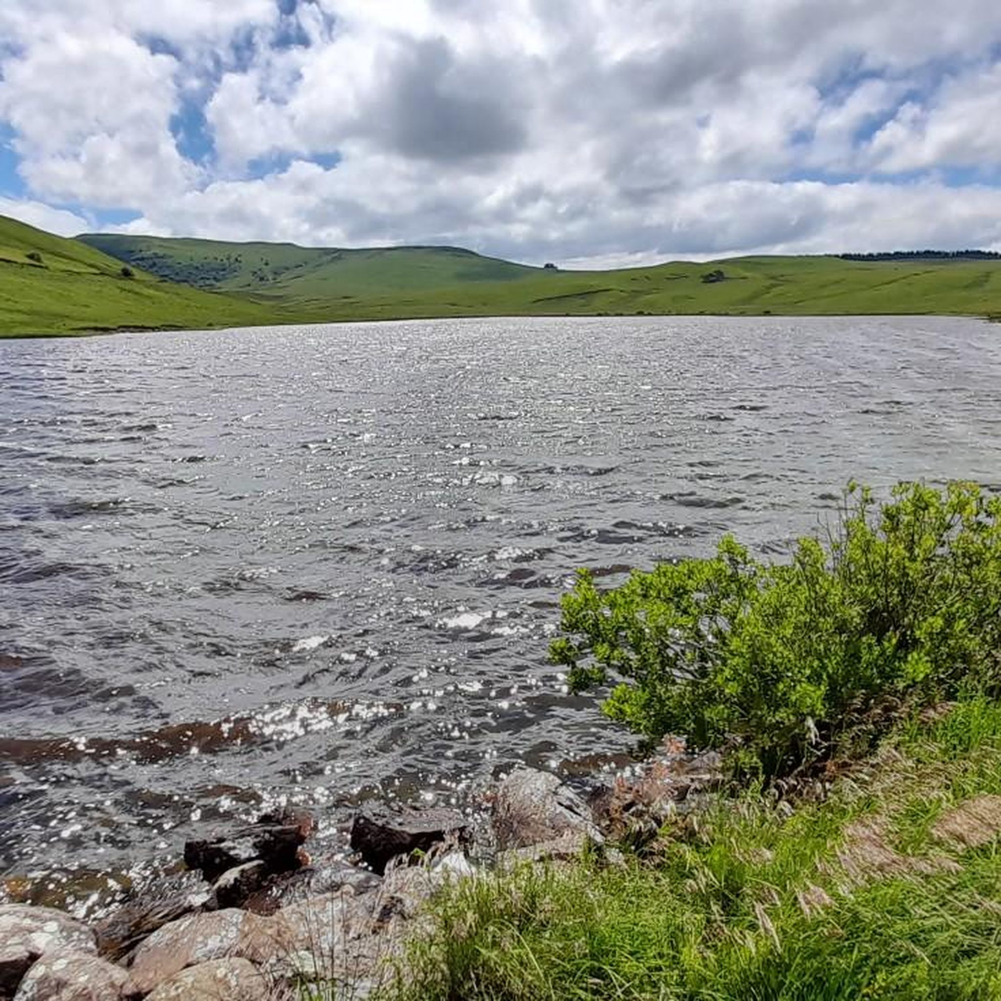
Crater lake at 1225m altitude
0
0
Frequently Asked Questions
How many hiking trails are available around Saint-Alyre-Ès-Montagne?
There are over 60 hiking trails in the Saint-Alyre-Ès-Montagne area, catering to various skill levels. You'll find 17 easy routes, 36 moderate paths, and 11 more challenging trails to explore the volcanic landscapes and natural beauty of the Cézallier massif.
Are there any easy or family-friendly hiking trails in Saint-Alyre-Ès-Montagne?
Yes, Saint-Alyre-Ès-Montagne offers 17 easy hiking routes suitable for families or those seeking a relaxed walk. The region's unique peat bogs, such as Jolan and La Gazelle, provide accessible family walks amidst a unique ecosystem. For a specific easy option, consider the Signal du Luguet loop from Parrot, which is 6.6 km long and typically takes under 2 hours.
What kind of natural attractions can I see along the hiking trails?
The hiking trails around Saint-Alyre-Ès-Montagne are rich in natural attractions. You can discover stunning waterfalls like the Saillant Waterfall and Entraigues Waterfall. The region is also dotted with picturesque lakes, including the volcanic lakes near La Godivelle and the glacial Lake Bourdouze. Panoramic viewpoints such as the View of Mont Chamaroux and the Cézallier mountains offer breathtaking vistas of the volcanic terrain.
Are there any circular hiking routes available?
Yes, many trails in Saint-Alyre-Ès-Montagne are circular, allowing you to start and end at the same point. An example is the La Godivelle – Upper Lake of La Godivelle loop from La Godivelle, a moderate 9 km route that explores the area's beautiful lakes.
Can I bring my dog on the hiking trails in Saint-Alyre-Ès-Montagne?
Many trails in the Auvergne-Rhône-Alpes region, including those around Saint-Alyre-Ès-Montagne, are dog-friendly. However, it's always recommended to keep your dog on a leash, especially in protected areas like the Natural Regional Park of the Volcanoes of Auvergne, to protect wildlife and ensure a pleasant experience for all hikers. Check specific trail regulations before you go.
What is the best time of year for hiking in Saint-Alyre-Ès-Montagne?
The region is beautiful year-round, but the best time for hiking is typically from late spring to early autumn (May to October) when the weather is mild and the landscapes are lush. During winter, some higher altitude trails may be covered in snow, offering opportunities for snowshoeing, but requiring appropriate gear and caution.
Are there challenging hikes for experienced hikers?
Yes, for experienced hikers seeking a challenge, there are 11 difficult routes around Saint-Alyre-Ès-Montagne. The Cézallier massif, with its mountainous terrain and altitudes often surpassing 1,400 meters, provides opportunities for more strenuous ascents and longer treks. The Signal du Luguet, as the highest point of the Cézallier, offers rewarding routes that encircle and ascend its peak.
What do other hikers say about the trails in Saint-Alyre-Ès-Montagne?
The hiking trails in Saint-Alyre-Ès-Montagne are highly rated by the komoot community, with an average score of 4.5 stars from over 200 reviews. Hikers often praise the diverse volcanic landscapes, the serene lakes, and the well-maintained paths that offer options for various ability levels.
Is there parking available at the trailheads?
While specific parking details vary by trailhead, many popular hiking routes in the Saint-Alyre-Ès-Montagne area, especially those starting from villages or known natural sites, typically have designated parking areas. It's advisable to check the route details on komoot for specific parking information before your hike.
Can I reach hiking trails using public transport?
Public transport options directly to remote trailheads in Saint-Alyre-Ès-Montagne can be limited due to the rural nature of the Cézallier massif. However, some villages that serve as starting points for hikes might be accessible by regional bus services. Planning ahead and checking local transport schedules is recommended.
Are there any specific waterfalls I should look out for?
Absolutely! The region is known for its beautiful waterfalls. The Saillant Waterfall is a remarkable 20-meter cascade formed by the Bonjon stream. You can also visit the Entraigues Waterfall, which is part of an easy walk leading to a charming body of water. The Jassy Waterfall – Lake Saint-Alyre loop from La Godivelle is a moderate route that features a waterfall along its path.
What is the typical duration of hikes near Saint-Alyre-Ès-Montagne?
Hike durations vary widely depending on the trail's length and difficulty. Easy routes, like the Signal du Luguet loop from Parrot (6.6 km), can be completed in under 2 hours. Moderate trails, such as the La Godivelle – Upper Lake of La Godivelle loop from La Godivelle (9 km), might take around 2.5 to 3 hours. Longer, more challenging routes can extend to 4 hours or more.
Most popular routes around Saint-Alyre-Ès-Montagne
Most popular attractions around Saint-Alyre-Ès-Montagne

Get inspired with the komoot mobile app


Explore more
Browse the best Hikes in other regions.
