The best running trails around Saint-Alyre-Ès-Montagne
4.3
(3)
230
runners
23
runs
Jogging routes around Saint-Alyre-ès-Montagne traverse the Cézallier massif within the Natural Regional Park of the Volcanoes of Auvergne. The area features mountainous terrain with varied gradients, offering diverse running experiences. Volcanic origins are evident in picturesque lakes and peat bogs, alongside forests and elevated landscapes.
Best jogging routes around Saint-Alyre-ès-Montagne
- The most popular jogging route is Around Bonjon - trail loop starting from Saillant - Auvergne Volcanoes Regional Nature Park, a 3.0 miles (4.8 km) trail that takes 32…
Last updated: July 13, 2026
Moderate run. Good fitness required. Mostly paved surfaces. Suitable for all skill levels.
11
runners
24.1km
03:08
710m
710m
Hard run. Very good fitness required. Mostly paved surfaces. Suitable for all skill levels.

Sign up for free
11
runners
10.8km
01:17
280m
280m
Moderate run. Good fitness required. Mostly paved surfaces. Suitable for all skill levels.
5.0
(1)
5
runners
9.04km
00:59
200m
200m
Moderate run. Good fitness required. Mostly paved surfaces. Suitable for all skill levels.
5
runners
9.35km
01:06
220m
220m
Moderate run. Good fitness required. Mostly paved surfaces. Suitable for all skill levels.
Get access to more routes and recommendations from other explorers.
Sign up for free
Already have an account?
Our route recommendations are based on thousands of hikes, rides, and runs completed by other people on komoot.
Start today with a free account
Your next adventure awaits.
Login or Signup
Popular around Saint-Alyre-Ès-Montagne

The Grande traversée du Massif Central by gravel bike
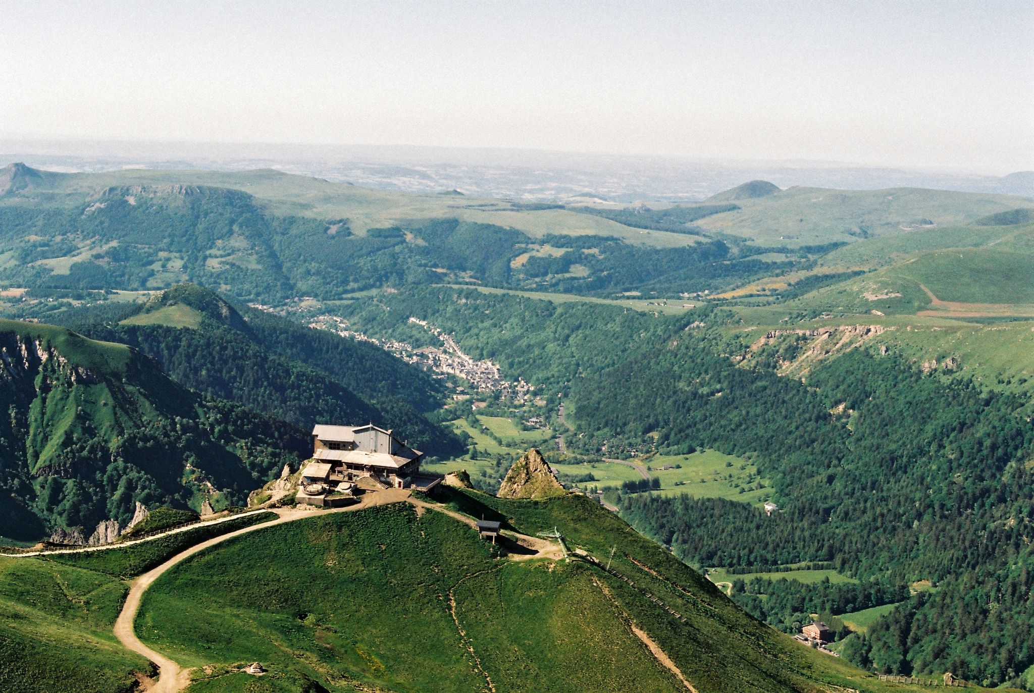
Crossing the volcanoes of Auvergne – Stromboliens, peléens and maars
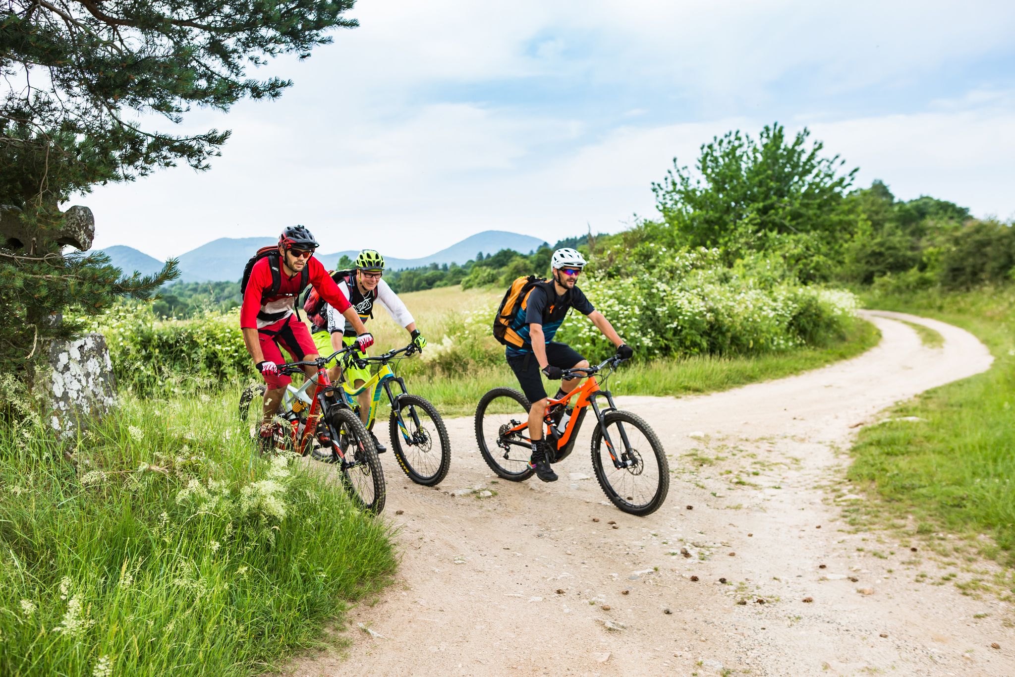
Conquering the trails – Auvergne by MTB
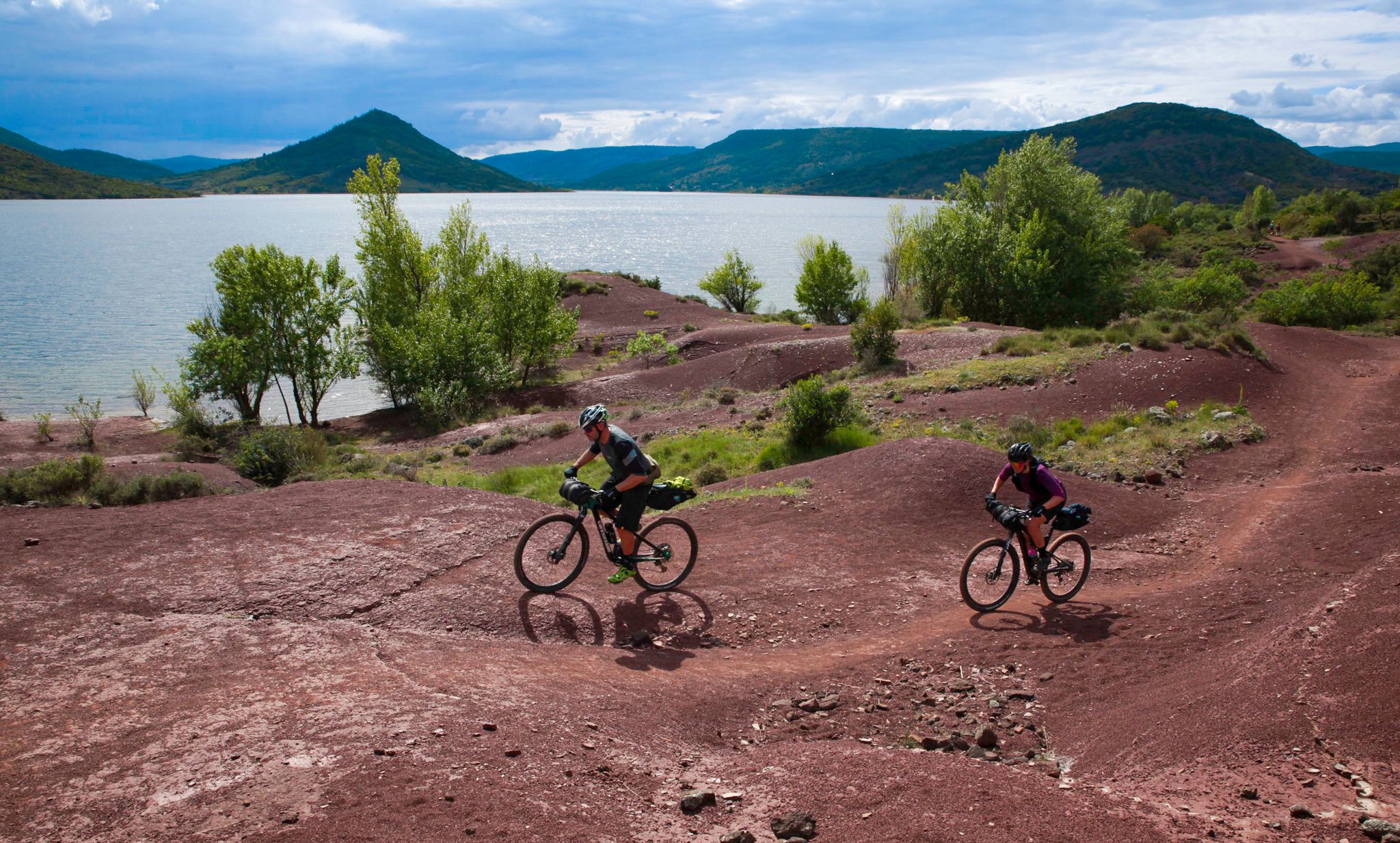
The Great Crossing of France's Massif Central by mountain bike
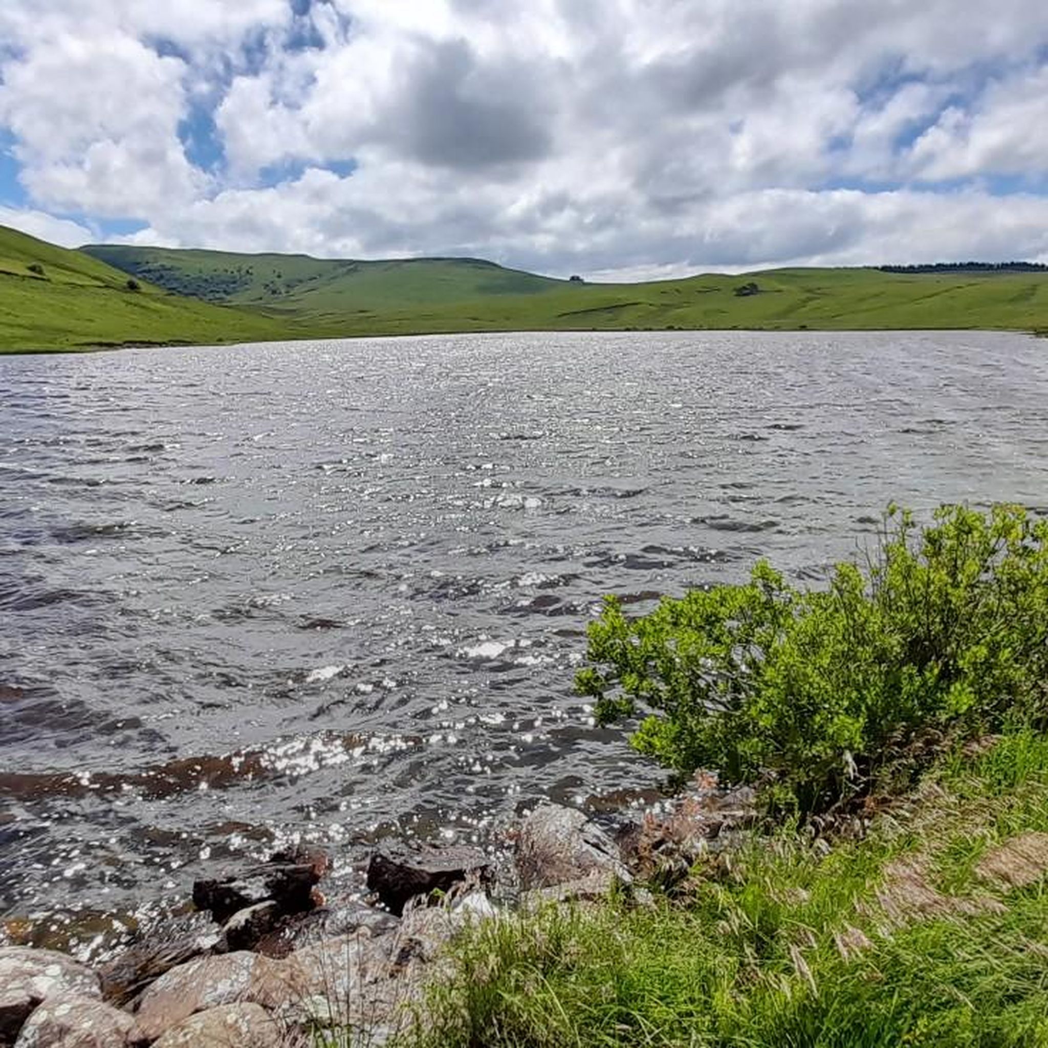
Road Cycling Routes around Saint-Alyre-Ès-Montagne
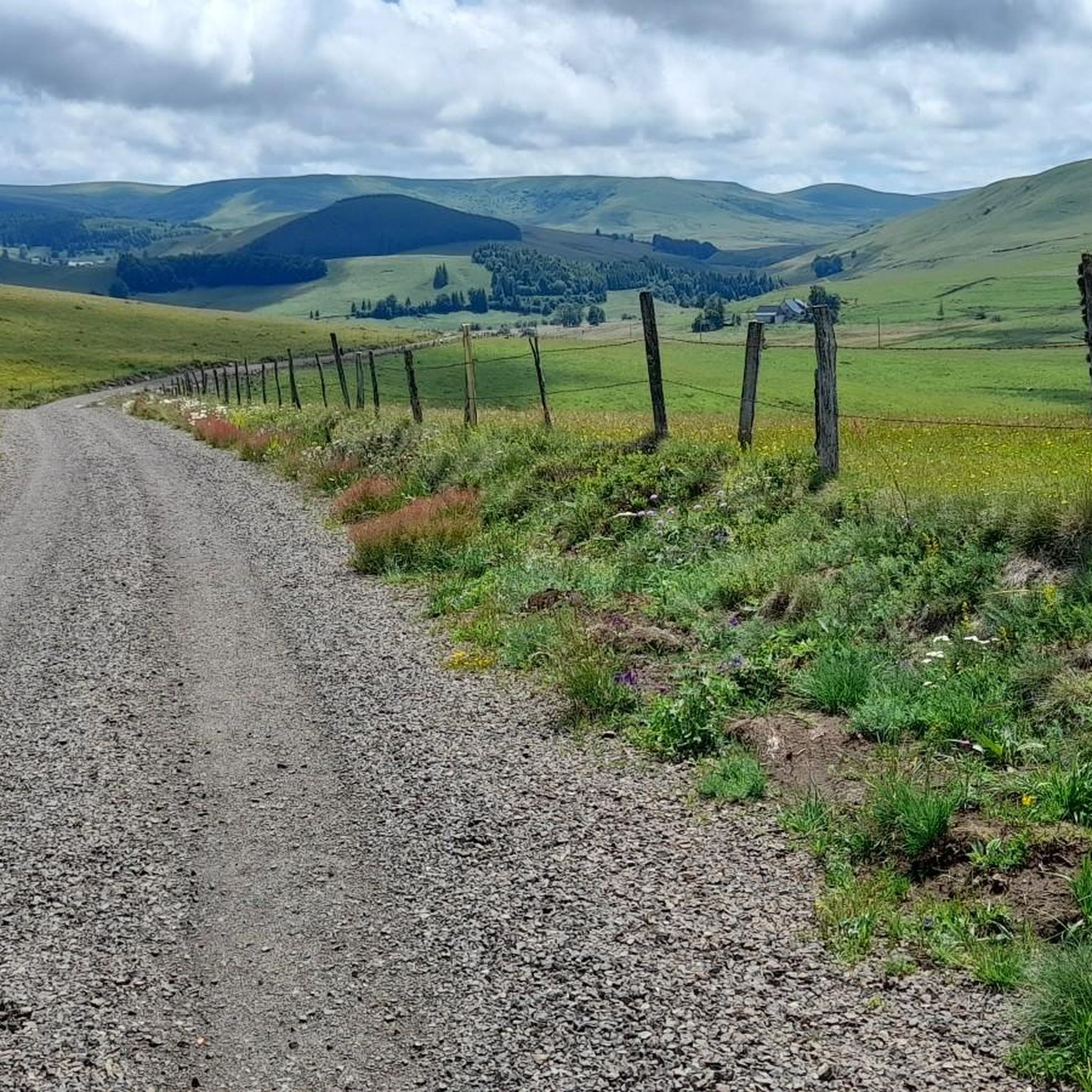
Hiking around Saint-Alyre-Ès-Montagne
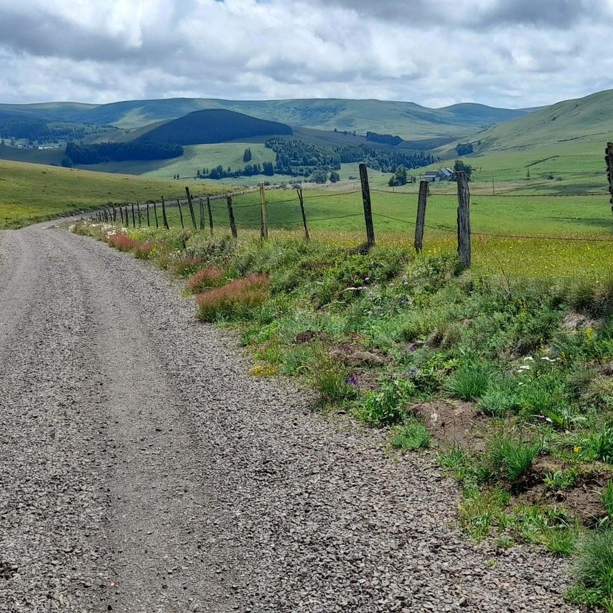
MTB Trails around Saint-Alyre-Ès-Montagne
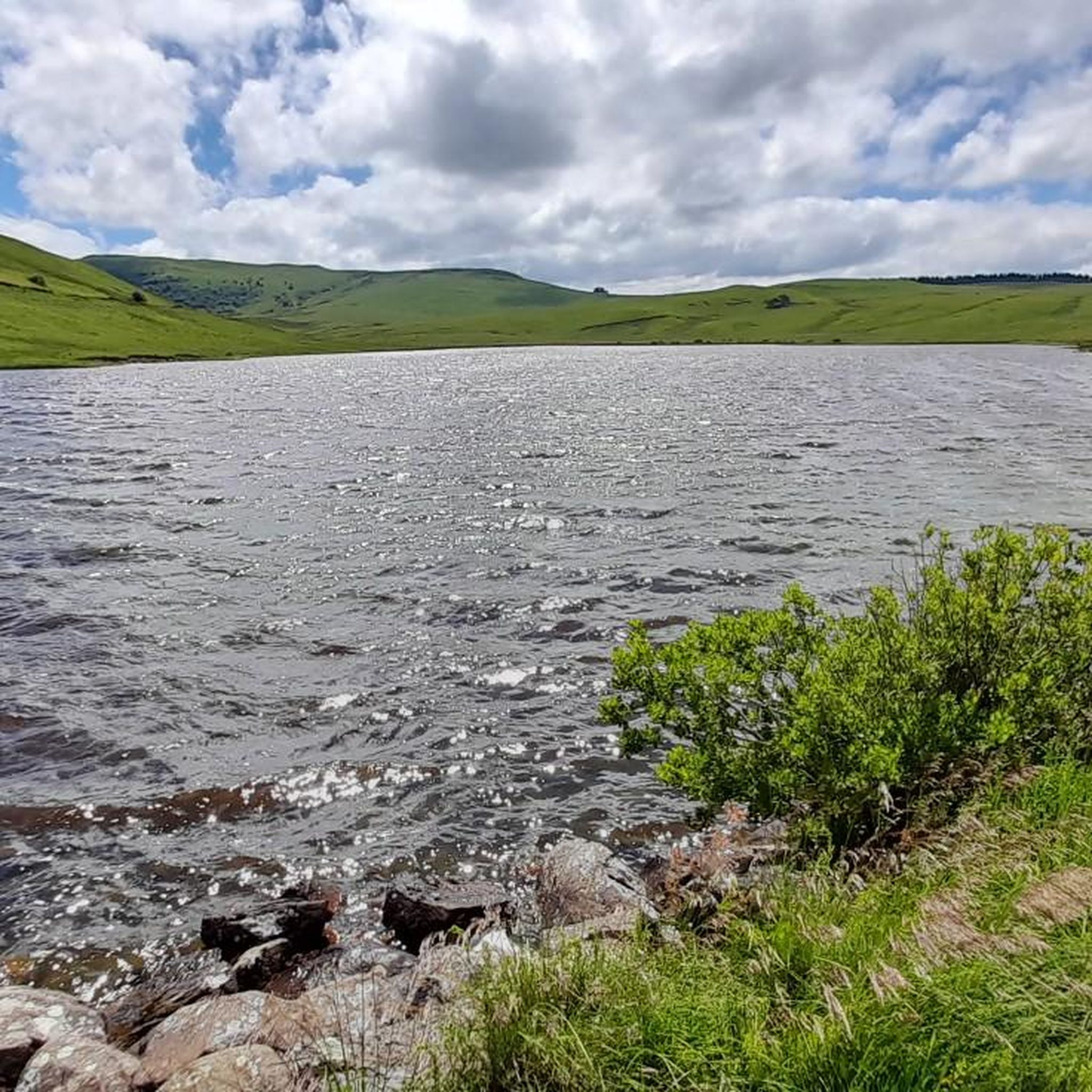
Cycling around Saint-Alyre-Ès-Montagne
Gravel biking around Saint-Alyre-Ès-Montagne
Other adventures around Saint-Alyre-Ès-Montagne


Tips from the Community


I wouldn't classify this track as "very rolling" in Gravel. It passes but there are quite a few sandpits, the rains have dug channels and released large stones in places. It passes with a little goodwill, and the views still make the rest widely accepted!
0
0

Too bad that the only refreshment point reported nearby is closed
0
0

A picnic table at the entrance to the hamlet, then overlooking the waterfall. You can access the waterfall on foot only, but there is a very nice view from above too.
0
0
Crater lake at 1225m altitude
0
0

La Godivelle is an extremely isolated village. With its large fountain, its church and its sublime landscapes, it is a town where it is good to stop.
0
0

This very rolling track is magnificent and promises a great descent!
0
0

In the heart of the Cézalliers mountains, the Saillant waterfall is a magnificent waterfall of about twenty meters. The Bonjon stream which rises there passes over organs and thus forms a waterfall with a spectacular flow.
0
0
Frequently Asked Questions
How many running routes are available in Saint-Alyre-ès-Montagne?
Saint-Alyre-ès-Montagne offers a wide selection of running routes, with over 20 trails available. These routes cater to various fitness levels, ranging from moderate loops to more challenging long-distance runs through the mountainous terrain.
What kind of landscapes can I expect on the jogging routes around Saint-Alyre-ès-Montagne?
The jogging routes in Saint-Alyre-ès-Montagne traverse the stunning Cézallier massif within the Natural Regional Park of the Volcanoes of Auvergne. You'll encounter diverse landscapes including picturesque volcanic lakes, protected peat bogs, dense forests, and elevated areas offering panoramic views of the Sancy massif and Cantal mountains. The region's volcanic origins are evident throughout the trails.
Are there any running routes that feature waterfalls?
Yes, several running routes in the area offer views of beautiful waterfalls. For instance, the Around Bonjon - trail loop starting from Saillant is a moderate 4.8 km route that features a spectacular 20-meter waterfall. You can also explore the Saillant Waterfall, Entraigues Waterfall, or Bois de Chaux Waterfall.
Are there any challenging long-distance running trails in the region?
Absolutely. For experienced runners seeking a challenge, the region offers difficult long-distance trails. A notable option is the Trail Below Signal du Luguet loop from Anzat-le-Luguet, a demanding 24.2 km path with significant elevation gain, providing extensive panoramic views across the mountainous terrain.
What do other runners enjoy most about the trails in Saint-Alyre-ès-Montagne?
The running routes in Saint-Alyre-ès-Montagne are highly rated by the komoot community, with an average score of 5.0 stars. Runners frequently praise the varied terrain, from volcanic lakes to mountainous forests, and the options available for different ability levels. Over 200 runners have used komoot to explore these diverse paths.
Can I find circular running routes in Saint-Alyre-ès-Montagne?
Yes, many of the running routes in Saint-Alyre-ès-Montagne are circular, offering convenient starting and ending points. For example, the La traverse – Montgreleix Fountain loop from Montgreleix is a popular 10.8 km circular trail that takes you through varied landscapes.
Are there running routes that pass by volcanic lakes or peat bogs?
Yes, the region's volcanic origins mean many routes feature stunning lakes and peat bogs. The village of La Godivelle, known for its two volcanic lakes and peat bogs, offers sublime scenery for a run. You can explore the La Godivelle – La Godivelle loop from Espinchal, a moderate 9 km route that showcases these unique natural features.
What is the best time of year for jogging in Saint-Alyre-ès-Montagne?
The Cézallier massif offers beautiful running conditions throughout much of the year. Spring and autumn provide pleasant temperatures and vibrant scenery, while summer is ideal for enjoying the high-altitude trails. Winter running is also possible, but conditions can be more challenging due to snow and ice, especially on higher ground.
Are there any moderate-difficulty running trails suitable for a steady pace?
Certainly. Many routes in Saint-Alyre-ès-Montagne are classified as moderate, perfect for a steady jogging pace. The Montgreleix Fountain loop from Montgreleix is a great example, covering 9.3 km and typically completed in just over an hour, offering a balanced running experience.
What are some notable viewpoints or natural monuments I can see while running?
The elevated positions throughout the Cézallier massif provide expansive panoramic views. You might encounter highlights such as the View of Mont Chamaroux and the Cézallier mountains, the Volpilière Pass, or the Col de Chamaroux. These spots offer breathtaking vistas of the surrounding natural beauty, including the Sancy massif and the Cantal mountains.
Are there dedicated trail running facilities or initiatives in the wider Auvergne region?
Yes, the broader Coeur d'Auvergne region emphasizes trail running with dedicated "Espace Trail" (Trail Space) initiatives. These provide well-maintained and diverse routes with varying distances and elevation changes, catering to different fitness levels and enhancing the overall running experience in the area.
Most popular routes around Saint-Alyre-Ès-Montagne
Most popular attractions around Saint-Alyre-Ès-Montagne

Get inspired with the komoot mobile app


Explore more
Browse the best Running Trails & Routes in other regions.
