The best MTB trails around Saint-Alyre-Ès-Montagne
4.3
(44)
358
riders
21
rides
Mountain bike trails around Saint-Alyre-Ès-Montagne traverse the diverse landscapes of the Cézallier massif, situated within France's Auvergne-Rhône-Alpes region. The area is characterized by mountainous terrain, often exceeding 1,400 meters in altitude, and forms part of the Natural Regional Park of the Volcanoes of Auvergne. Riders encounter ancient volcanic formations, high-altitude plateaus, and glacial lakes, with routes frequently featuring broad forest tracks and pastoral paths. This region offers a network of trails suitable for exploring its unique geological features and panoramic…
Last updated: July 13, 2026
5.0
(2)
18
riders
37.5km
03:42
1,040m
1,030m
Hard mountain bike ride. Very good fitness required. Advanced riding skills necessary.
4.9
(10)
78
riders
88.0km
07:17
1,740m
1,740m
Hard mountain bike ride. Very good fitness required. Advanced riding skills necessary.

Sign up for free
4.7
(3)
20
riders
63.4km
05:00
1,170m
1,170m
Hard mountain bike ride. Very good fitness required. Advanced riding skills necessary.
3.0
(1)
8
riders
41.2km
03:29
890m
890m
Moderate mountain bike ride. Good fitness required. Advanced riding skills necessary.
5.0
(2)
4
riders
20.1km
01:42
430m
430m
Moderate mountain bike ride. Good fitness required. Advanced riding skills necessary.
Get access to more routes and recommendations from other explorers.
Sign up for free
Already have an account?
Our route recommendations are based on thousands of hikes, rides, and runs completed by other people on komoot.
Start today with a free account
Your next adventure awaits.
Login or Signup
Popular around Saint-Alyre-Ès-Montagne

The Grande traversée du Massif Central by gravel bike
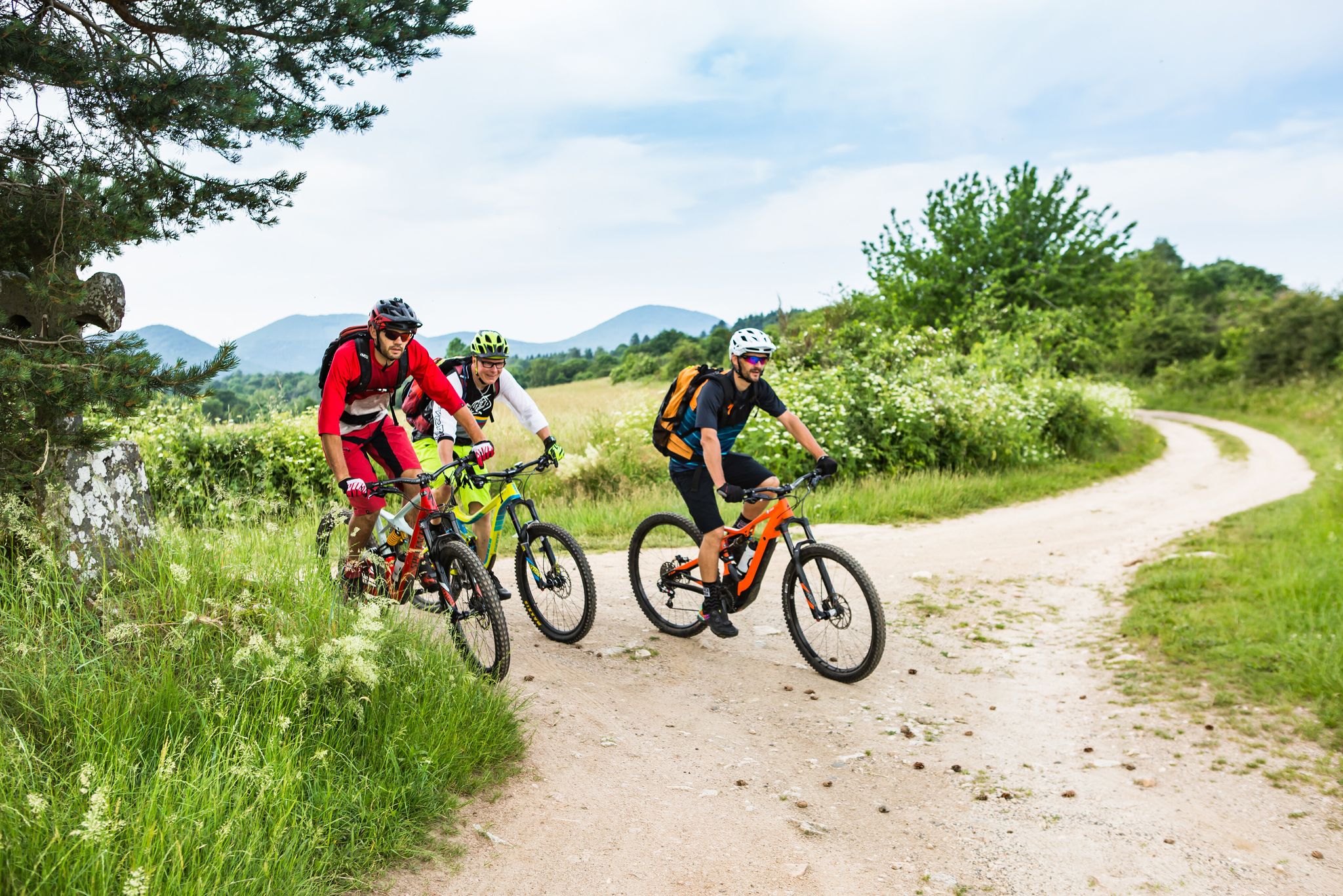
Conquering the trails – Auvergne by MTB
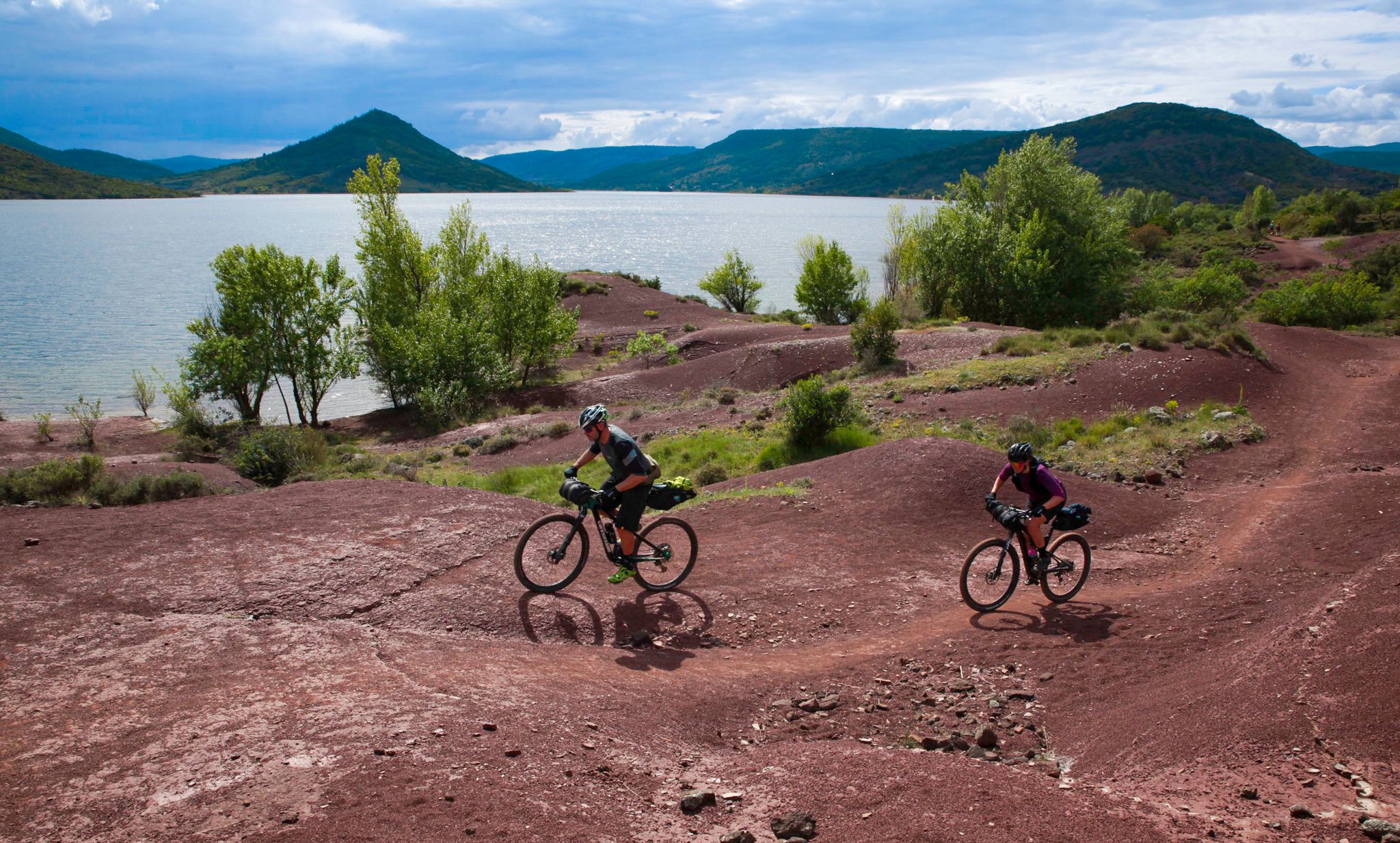
The Great Crossing of France's Massif Central by mountain bike
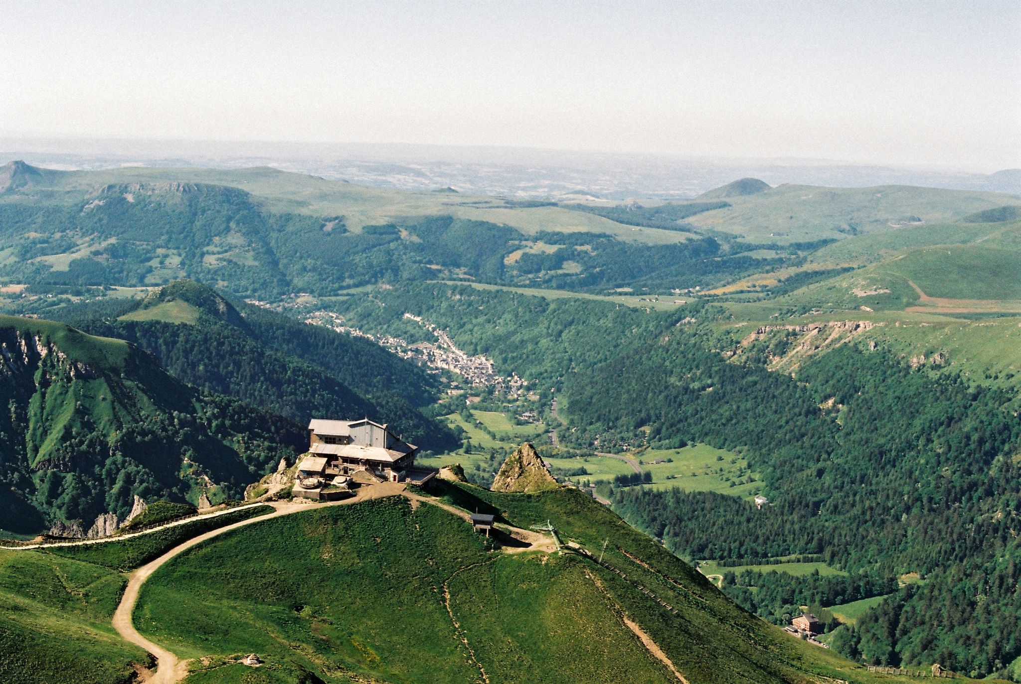
Crossing the volcanoes of Auvergne – Stromboliens, peléens and maars
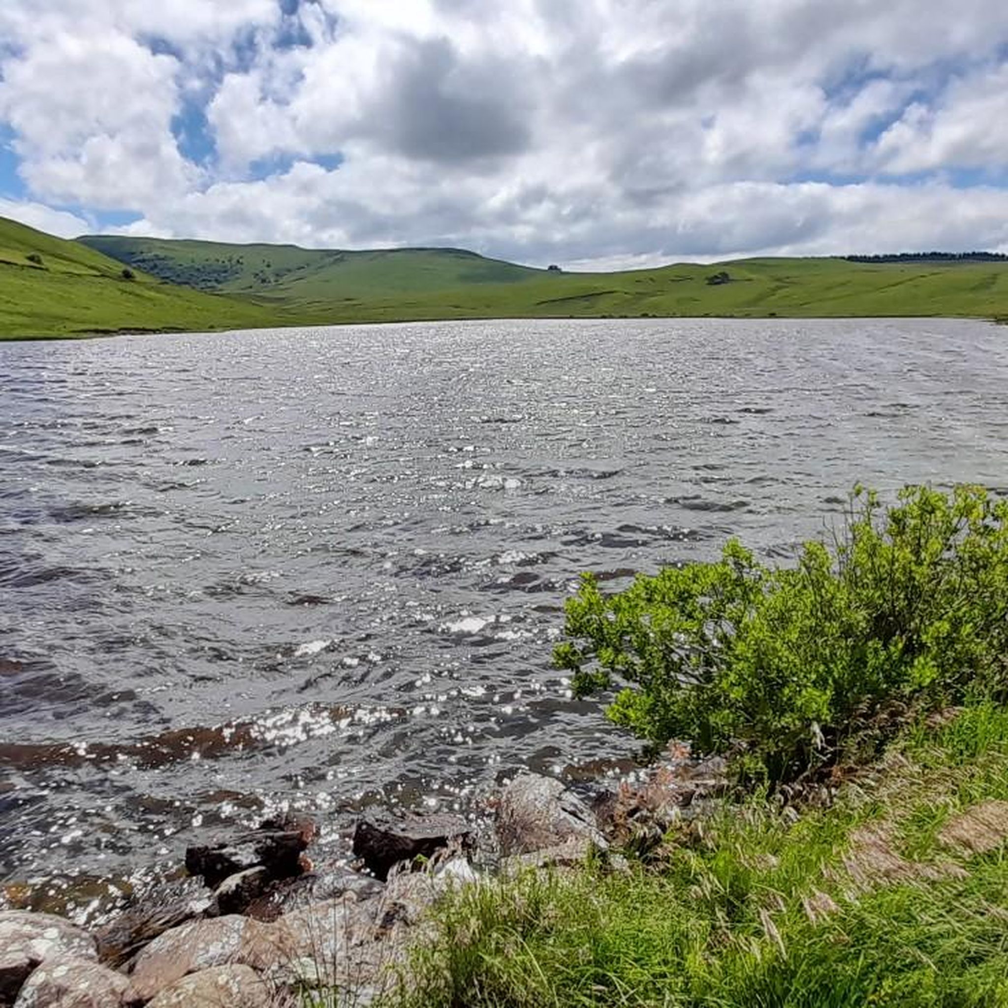
Road Cycling Routes around Saint-Alyre-Ès-Montagne
Hiking around Saint-Alyre-Ès-Montagne
Cycling around Saint-Alyre-Ès-Montagne
Running Trails around Saint-Alyre-Ès-Montagne
Gravel biking around Saint-Alyre-Ès-Montagne
Other adventures around Saint-Alyre-Ès-Montagne


Tips from the Community

The view is magnificent and the path is smooth.
0
0

Why didn't you make the Luguet signal? You have to go through Parrot... a place called. After the GR path... to the Luguet woods.
0
0


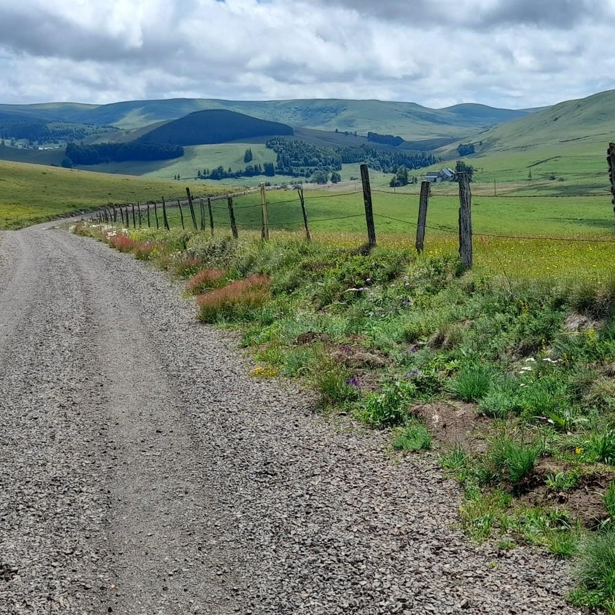
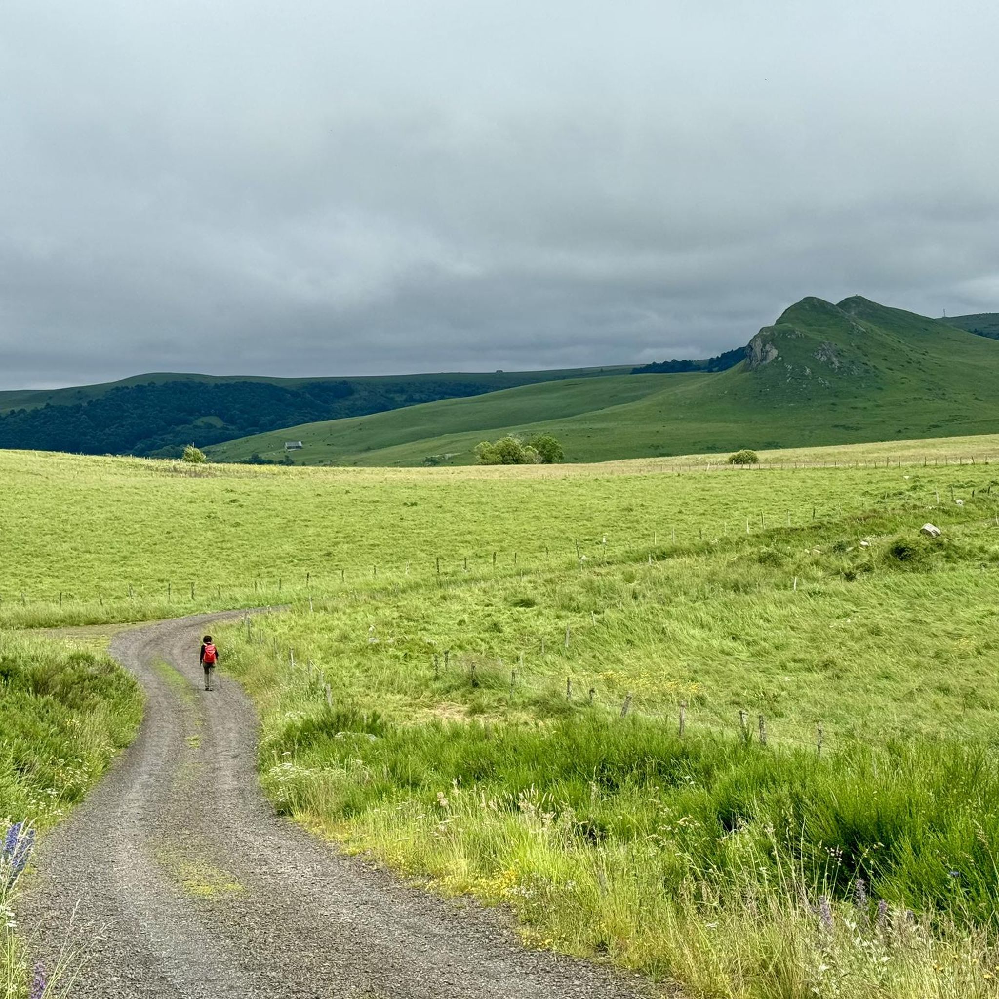
Superb climb on gravel path. Nestled in the middle of green expanses, this path offers a breathtaking panorama!
0
0
This gravel path located in the middle of the fields offers a unique perspective on the surrounding landscapes.
0
0

I wouldn't classify this track as "very rolling" in Gravel. It passes but there are quite a few sandpits, the rains have dug channels and released large stones in places. It passes with a little goodwill, and the views still make the rest widely accepted!
0
0
Frequently Asked Questions
How many mountain bike trails are available around Saint-Alyre-ès-Montagne?
There are over 20 mountain bike trails available around Saint-Alyre-ès-Montagne. These routes cater to various skill levels, with 14 moderate and 7 difficult options.
What kind of terrain can I expect on the mountain bike trails in this region?
The terrain around Saint-Alyre-ès-Montagne is diverse, characterized by the Cézallier massif and the Natural Regional Park of the Volcanoes of Auvergne. You'll encounter ancient volcanic formations, high-altitude plateaus, and glacial lakes. Trails often feature broad forest tracks and pastoral paths, with some sections offering volcanic paths.
Are there any beginner-friendly mountain bike trails in Saint-Alyre-ès-Montagne?
While there are no trails specifically graded as 'easy' in the provided data, there are 14 'moderate' routes that might be suitable for riders with some experience looking for less technical challenges. For example, the GTMC towards La Godivelle – Montée Paillasseyre loop from La Godivelle is a moderate 35 km route.
What are some challenging mountain bike trails for experienced riders?
Experienced riders can tackle several difficult routes. The Les Cheirs Trail is a difficult 37.5 km route with varied terrain. Another challenging option is the extensive Lake Montcineyre – Lake Estivadoux loop from Brion-Bas, which covers 88 km and explores high-altitude scenery.
What natural features or landmarks can I see while mountain biking in the area?
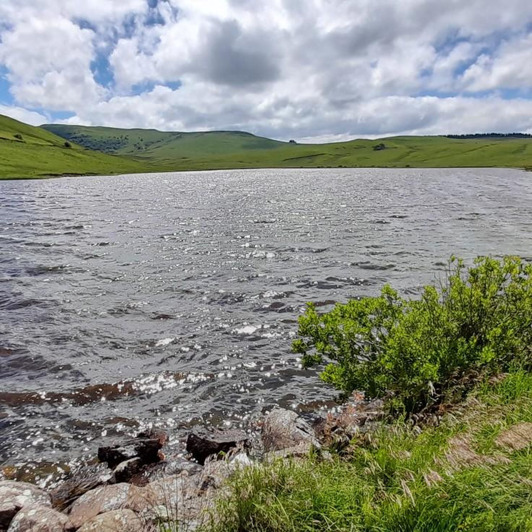
The region is rich in natural beauty. You can explore volcanic and glacial formations, serene lakes like Lake Bourdouze and the two volcanic lakes at La Godivelle, and peat bogs. Notable waterfalls include the magnificent Saillant Waterfall, where the Bonjon stream flows over basalt formations. You might also encounter viewpoints offering panoramas of the Monts Dore and Cantal mountains, such as the View of Mont Chamaroux and the Cézallier mountains.
Are there any circular mountain bike routes?
Yes, many routes in the area are loops. For instance, the Lake Montcineyre – Lake Estivadoux loop from Brion-Bas is a challenging 88 km circuit. A moderate option is the Upper Lake of La Godivelle – La Godivelle loop from La Godivelle, which is about 20 km long.
Is Saint-Alyre-ès-Montagne part of a larger mountain biking network?
Yes, Saint-Alyre-ès-Montagne is a significant point on the Grande Traversée du Massif Central (GTMC) mountain bike route. Sections of the GTMC pass through the area, offering connections to other destinations like Chalinargues and Murol. You can find more information about the GTMC on France Vélo Tourisme.
What do other mountain bikers say about the trails in Saint-Alyre-ès-Montagne?
The mountain bike trails around Saint-Alyre-ès-Montagne are highly rated by the komoot community, with an average score of 4.3 stars from over 40 reviews. More than 300 mountain bikers have used komoot to explore the varied terrain, often praising the unique volcanic landscapes and the mix of forest tracks and pastoral paths.
What is the best time of year to go mountain biking in Saint-Alyre-ès-Montagne?
Given the region's mountainous terrain and high-altitude plateaus, spring through autumn generally offers the most favorable conditions for mountain biking. Winters can bring snow and colder temperatures, making some trails less accessible or requiring specialized gear. Always check local weather conditions before heading out.
Are there any permits required for mountain biking in the Natural Regional Park of the Volcanoes of Auvergne?
Generally, no specific permits are required for mountain biking on designated trails within the Natural Regional Park of the Volcanoes of Auvergne. However, it's always advisable to respect local regulations, stay on marked paths, and be mindful of protected areas and wildlife.
Are there any waterfalls accessible by mountain bike trails?
While some trails might pass near them, the Saillant Waterfall is a prominent natural highlight in the region. You can plan your route to include a stop at this impressive 20-meter high waterfall, where the Bonjon stream cascades over basalt formations.
Most popular routes around Saint-Alyre-Ès-Montagne
Most popular attractions around Saint-Alyre-Ès-Montagne

Get inspired with the komoot mobile app


Explore more
Browse the best MTB trails in other regions.
