The best road cycling routes around Saint-Alyre-Ès-Montagne
4.7
(30)
996
riders
40
rides
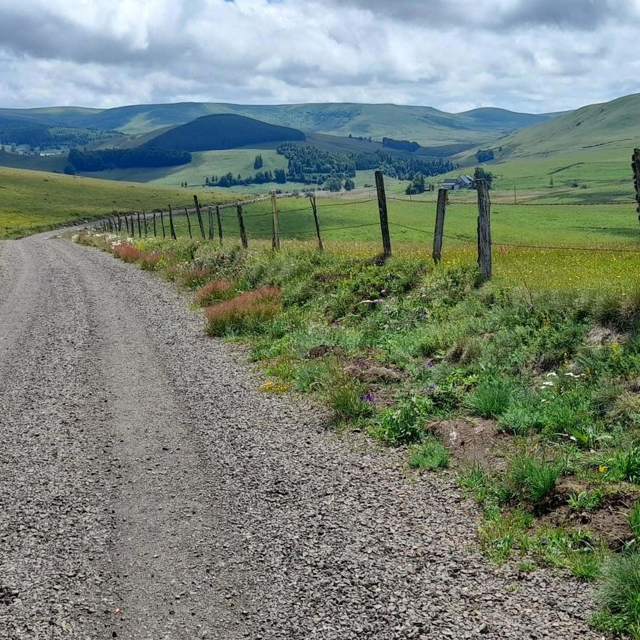
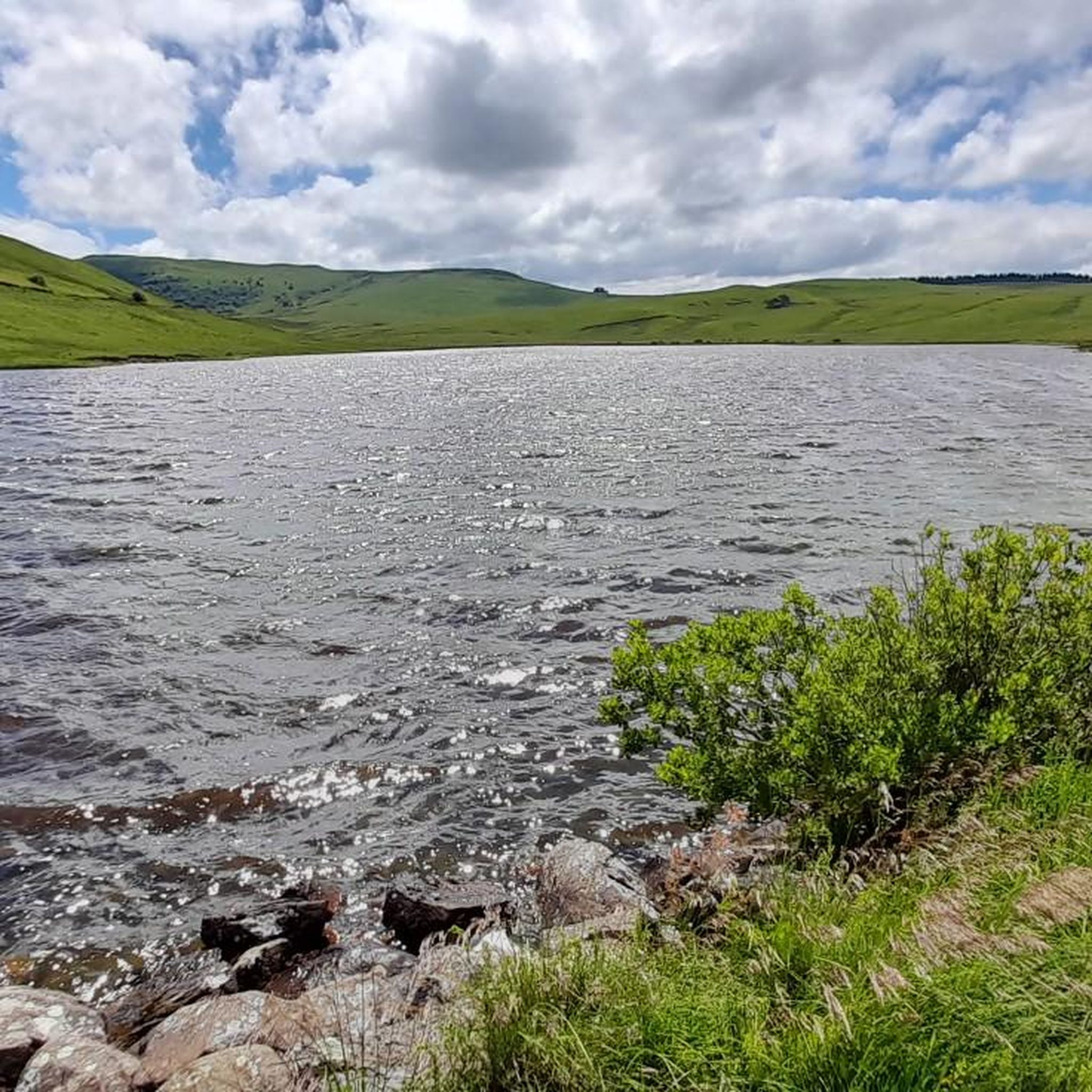
Road cycling routes around Saint-Alyre-ès-Montagne traverse the mountainous terrain of the Cézallier massif within the Natural Regional Park of the Volcanoes of Auvergne. This region is characterized by varied elevation changes, ancient volcanic landscapes, and tranquil rural roads. Cyclists encounter numerous lakes, including Lac de Bourdouze and the volcanic lakes near La Godivelle, which add to the scenic diversity. The area offers a network of quiet country roads, providing opportunities for challenging climbs and rewarding panoramic views.
Best road cycling…
Last updated: July 15, 2026
5.0
(2)
42
riders
47.1km
02:30
900m
900m
Moderate road ride. Good fitness required. Mostly well-paved surfaces and easy to ride.
5.0
(6)
198
riders
97.5km
05:13
1,920m
1,920m
Hard road ride. Very good fitness required. Mostly well-paved surfaces and easy to ride.

Sign up for free
5.0
(1)
163
riders
173km
08:51
3,060m
3,070m
Hard road ride. Very good fitness required. Mostly well-paved surfaces and easy to ride.
5.0
(2)
24
riders
32.7km
01:37
530m
530m
Moderate road ride. Good fitness required. Mostly well-paved surfaces and easy to ride.
11
riders
36.0km
01:50
620m
620m
Moderate road ride. Good fitness required. Mostly well-paved surfaces and easy to ride.
Get access to more routes and recommendations from other explorers.
Sign up for free
Already have an account?
Our route recommendations are based on thousands of hikes, rides, and runs completed by other people on komoot.
Start today with a free account
Your next adventure awaits.
Login or Signup
Popular around Saint-Alyre-Ès-Montagne

The Grande traversée du Massif Central by gravel bike
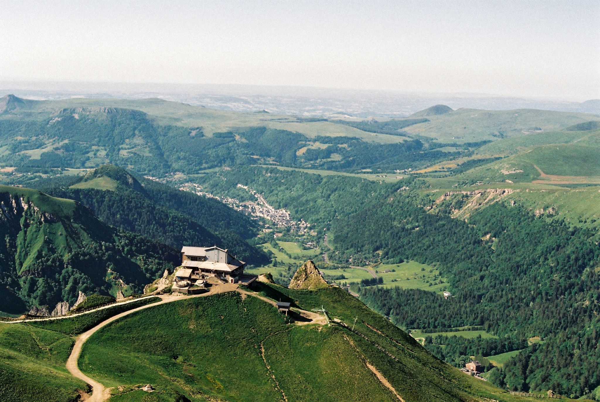
Crossing the volcanoes of Auvergne – Stromboliens, peléens and maars
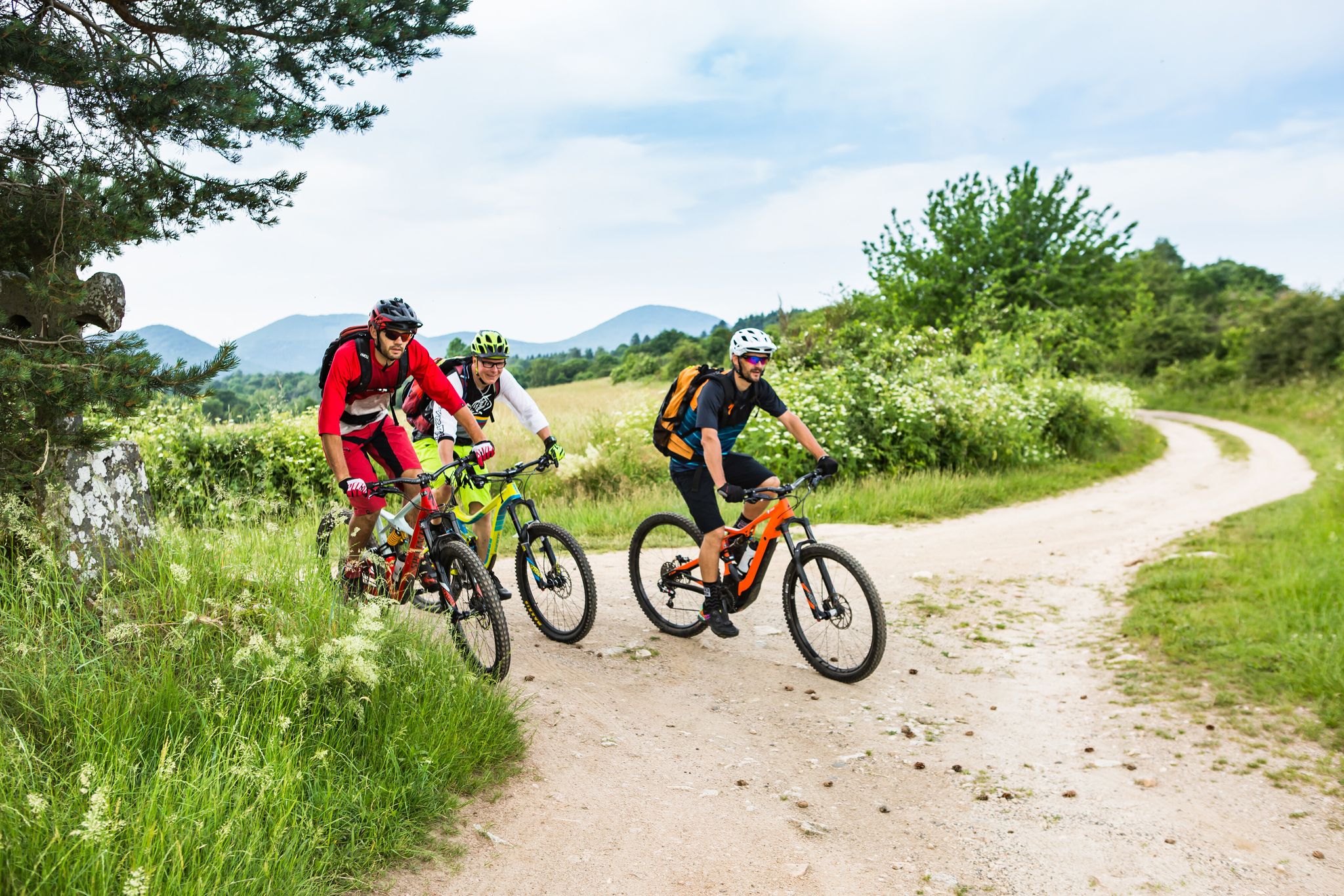
Conquering the trails – Auvergne by MTB
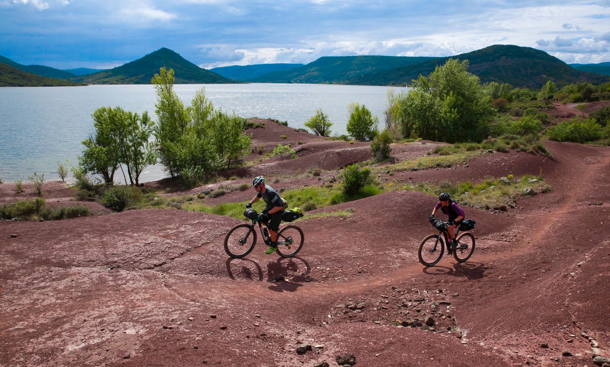
The Great Crossing of France's Massif Central by mountain bike
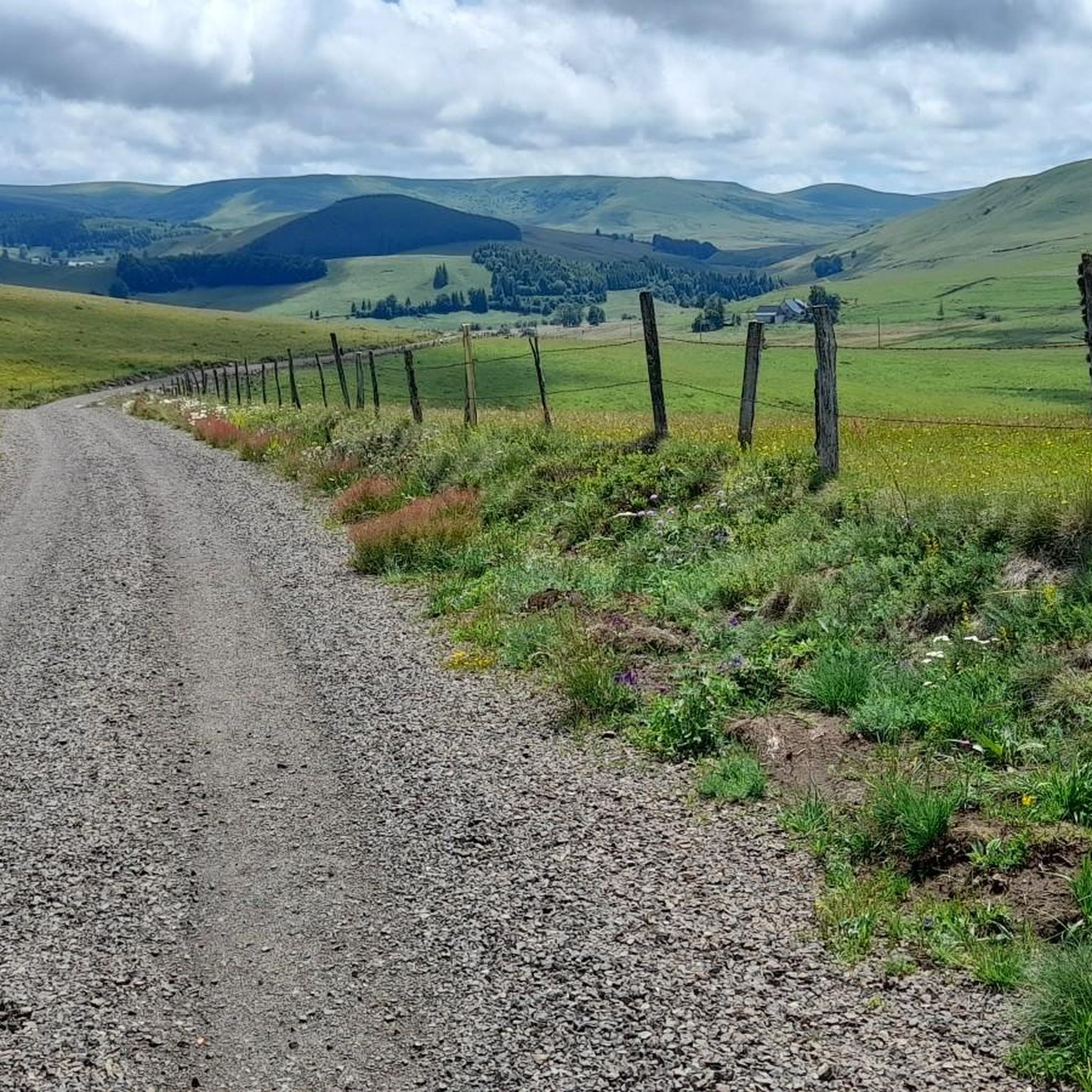
Hiking around Saint-Alyre-Ès-Montagne
MTB Trails around Saint-Alyre-Ès-Montagne
Cycling around Saint-Alyre-Ès-Montagne
Running Trails around Saint-Alyre-Ès-Montagne
Gravel biking around Saint-Alyre-Ès-Montagne
Other adventures around Saint-Alyre-Ès-Montagne


Tips from the Community


A wonderful pass, superb landscapes! And a very beautiful route
1
0

Pleasant and fairly easy. Beautiful route.
0
0

Why didn't you make the Luguet signal? You have to go through Parrot... a place called. After the GR path... to the Luguet woods.
0
0
Not too difficult, I did it on a mountain bike.
0
0
Magnificent scenery on quiet roads. A must-do!
0
0
It is worth stopping at this viewpoint, the view is magnificent
0
0
Frequently Asked Questions
How many road cycling routes are available around Saint-Alyre-ès-Montagne?
There are over 40 road cycling routes in the Saint-Alyre-ès-Montagne area, offering a diverse range of experiences from moderate loops to challenging long-distance rides through the Cézallier massif and the Natural Regional Park of the Volcanoes of Auvergne.
What kind of terrain can I expect on road cycling routes in Saint-Alyre-ès-Montagne?
The region is characterized by mountainous terrain with varied elevation changes, ancient volcanic landscapes, and tranquil rural roads. You'll encounter challenging climbs often rewarded with panoramic views, as well as serene stretches past lakes and through charming villages.
Are there any easy or beginner-friendly road cycling routes?
While many routes feature significant elevation, there is at least one easy road cycling route available. The area also offers 21 moderate routes, providing options for those looking for less strenuous rides or building up their endurance.
Are there any long-distance road cycling routes for experienced riders?
Yes, for experienced riders seeking a challenge, there are 18 difficult routes. An example is the Volpilière Pass – Lake Bourdouze loop from Anzat-le-Luguet, which spans 107.5 miles (173.0 km) and features over 3,000 meters of elevation gain, leading through high passes and past notable lakes.
What scenic attractions can I see along the road cycling routes?
The routes offer stunning natural beauty. You can pass by picturesque lakes like Lac de Bourdouze and the volcanic lakes near La Godivelle. Keep an eye out for impressive waterfalls such as the Saillant Waterfall, a magnificent 20-meter cascade. Many routes also provide panoramic views, including from the Volpilière Pass or the Col de Chamaroux.
Are there any circular road cycling routes?
Yes, many routes in the area are loops. A popular moderate option is the Cézallier Plateau Loop, which covers 29.3 miles (47.1 km) with open views. For a more challenging circular ride, consider the Col de la Croix Morand – Col de La Croix Morand loop from Espinchal.
What do other road cyclists enjoy most about cycling in Saint-Alyre-ès-Montagne?
The area is highly rated by the komoot community, with an average score of 4.6 stars from over 30 reviews. Cyclists often praise the varied terrain, from challenging climbs to serene lake views, and the opportunity to immerse themselves in the natural atmosphere of the Cézallier massif.
Is Saint-Alyre-ès-Montagne suitable for family road cycling?
While the region is known for its mountainous terrain, there are moderate routes that families with some cycling experience might enjoy. It's advisable to check the elevation profiles and distances of specific routes, such as the La Godivelle – Chamaroux Pass loop from La Godivelle, to ensure they match your family's ability.
What is the best time of year for road cycling in Saint-Alyre-ès-Montagne?
The region's mountainous nature suggests that late spring, summer, and early autumn are generally the best times for road cycling, offering more favorable weather conditions and open passes. Always check local weather forecasts before heading out.
Are there places to eat or find accommodation near the cycling routes?
Yes, charming isolated villages like La Godivelle, with its Romanesque church, offer cultural insights and likely provide opportunities for refreshments or accommodation. Saint-Alyre-ès-Montagne itself and surrounding towns will have options for cafes, restaurants, and places to stay.
Where can I find parking for road cycling trails in Saint-Alyre-ès-Montagne?
While specific parking locations for each trailhead are not detailed, starting points for routes often originate from villages such as Espinchal, Anzat-le-Luguet, or La Godivelle. These villages typically offer public parking facilities suitable for cyclists.
Most popular routes around Saint-Alyre-Ès-Montagne
Most popular attractions around Saint-Alyre-Ès-Montagne

Get inspired with the komoot mobile app


Explore more
Browse the best Road cycling routes in other regions.
