Naturschutzgebiet Arnspitze
Naturschutzgebiet Arnspitze
The best running trails in Naturschutzgebiet Arnspitze
4.5
(424)
12,836
runners
286
runs
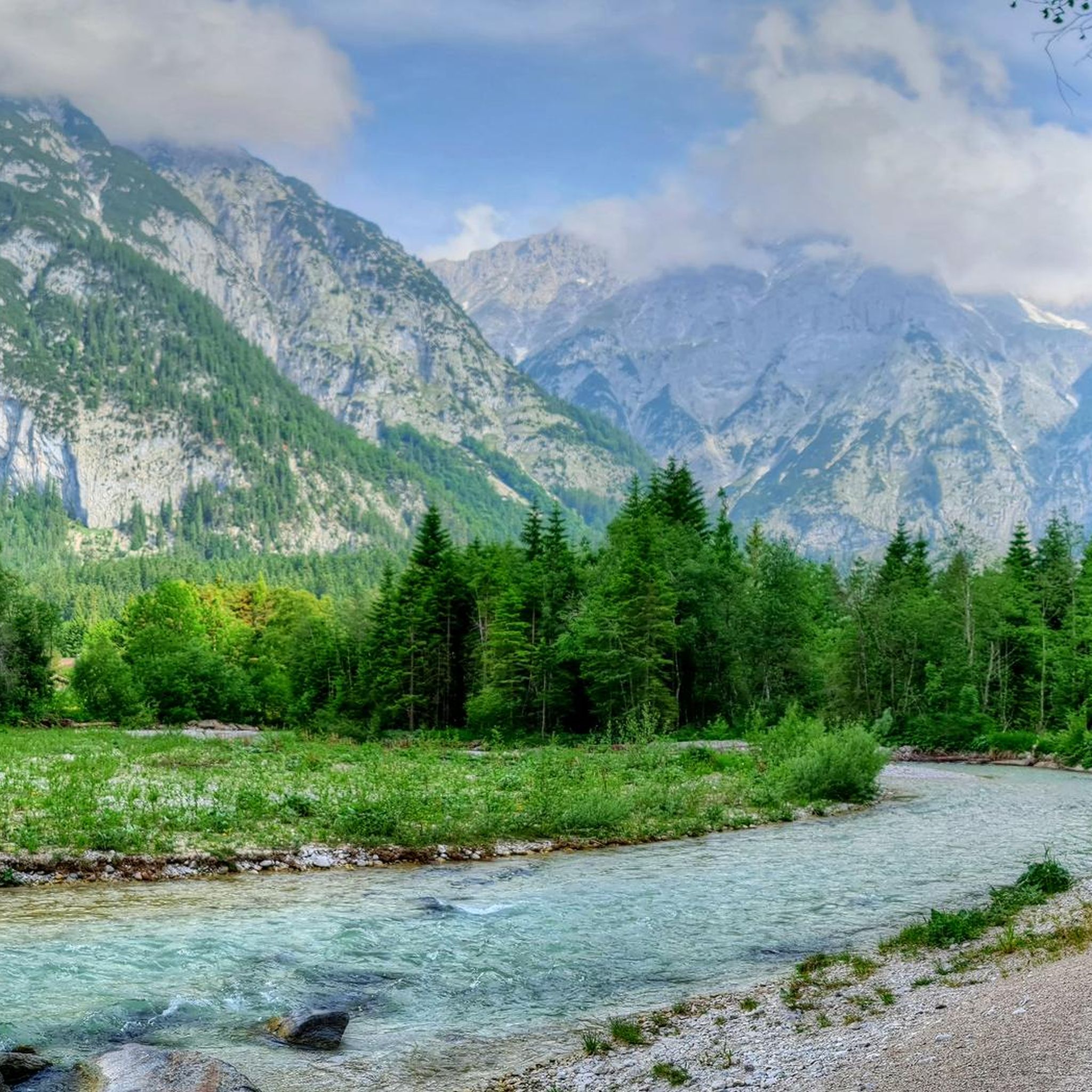
Jogging routes in Naturschutzgebiet Arnspitze traverse a largely untouched, primeval landscape across montane, subalpine, and alpine regions. The area is characterized by rugged peaks, diverse spruce-fir and pine forests, and visible glacial formations. This varied terrain offers a wide range of running experiences, from riverside paths to more challenging routes with significant elevation gain.
Best jogging routes in Naturschutzgebiet Arnspitze
- The most popular jogging route is Leutascher Ache Riverside Path – Leutascher Ache loop from Burggraben, an 8.3 miles…
Last updated: July 1, 2026
5.0
(2)
69
runners
13.4km
01:24
110m
110m
Moderate run. Good fitness required. Mostly paved surfaces. Suitable for all skill levels.
5.0
(5)
97
runners
30.6km
03:22
460m
460m
Hard run. Very good fitness required. Mostly paved surfaces. Suitable for all skill levels.

Sign up for free
54
runners
Moderate run. Good fitness required. Mostly paved surfaces. Suitable for all skill levels.
29
runners
9.02km
00:57
100m
100m
Moderate run. Good fitness required. Mostly paved surfaces. Suitable for all skill levels.
18
runners
4.91km
00:31
50m
50m
Easy run. Great for any fitness level. Mostly paved surfaces. Suitable for all skill levels.
Get access to more routes and recommendations from other explorers.
Sign up for free
Already have an account?
Our route recommendations are based on thousands of hikes, rides, and runs completed by other people on komoot.
Start today with a free account
Your next adventure awaits.
Login or Signup
Popular around Naturschutzgebiet Arnspitze
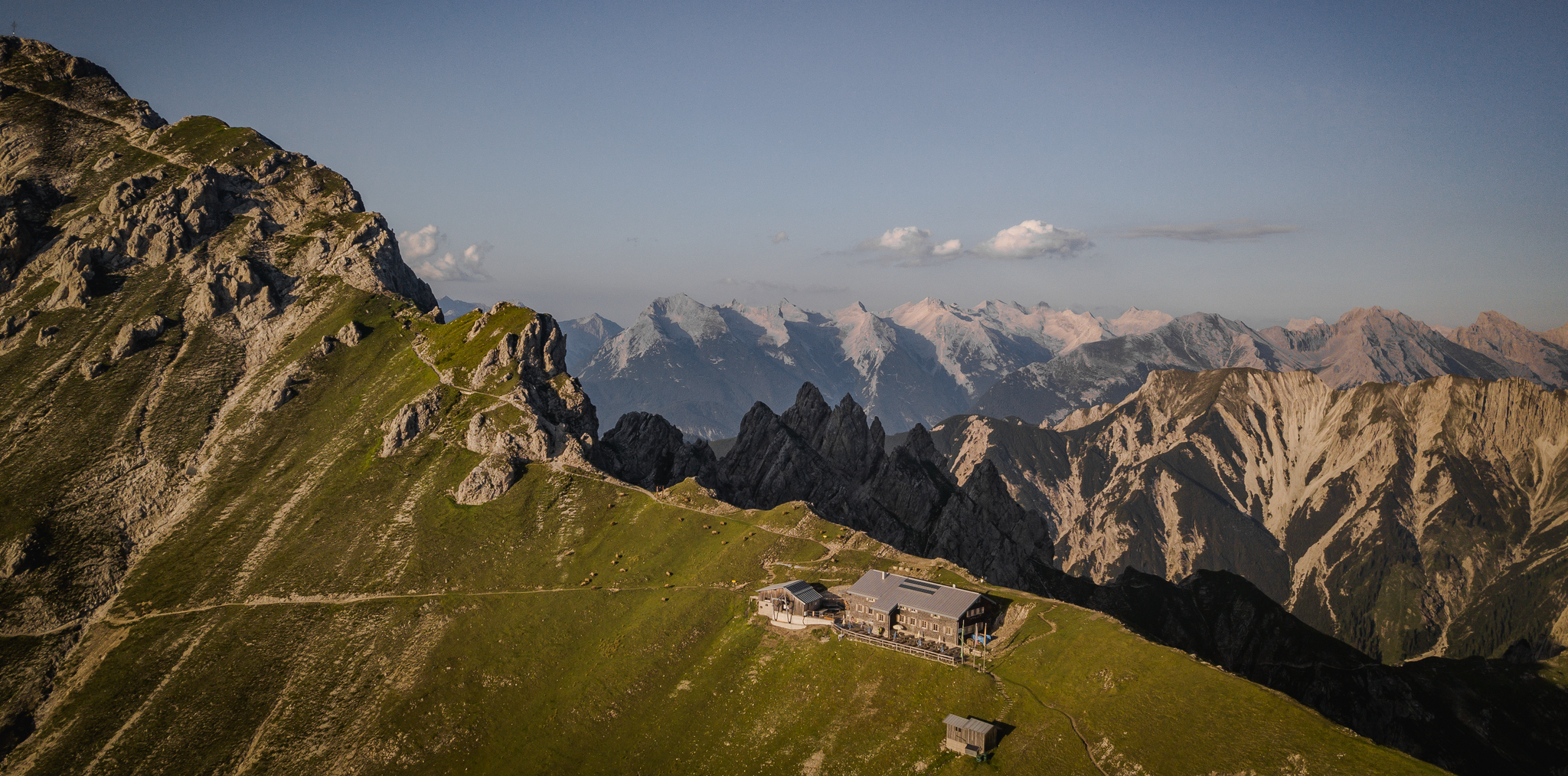
Hiking & enjoyment: huts and pastures around the Seefeld region - Tyrol's high plateau
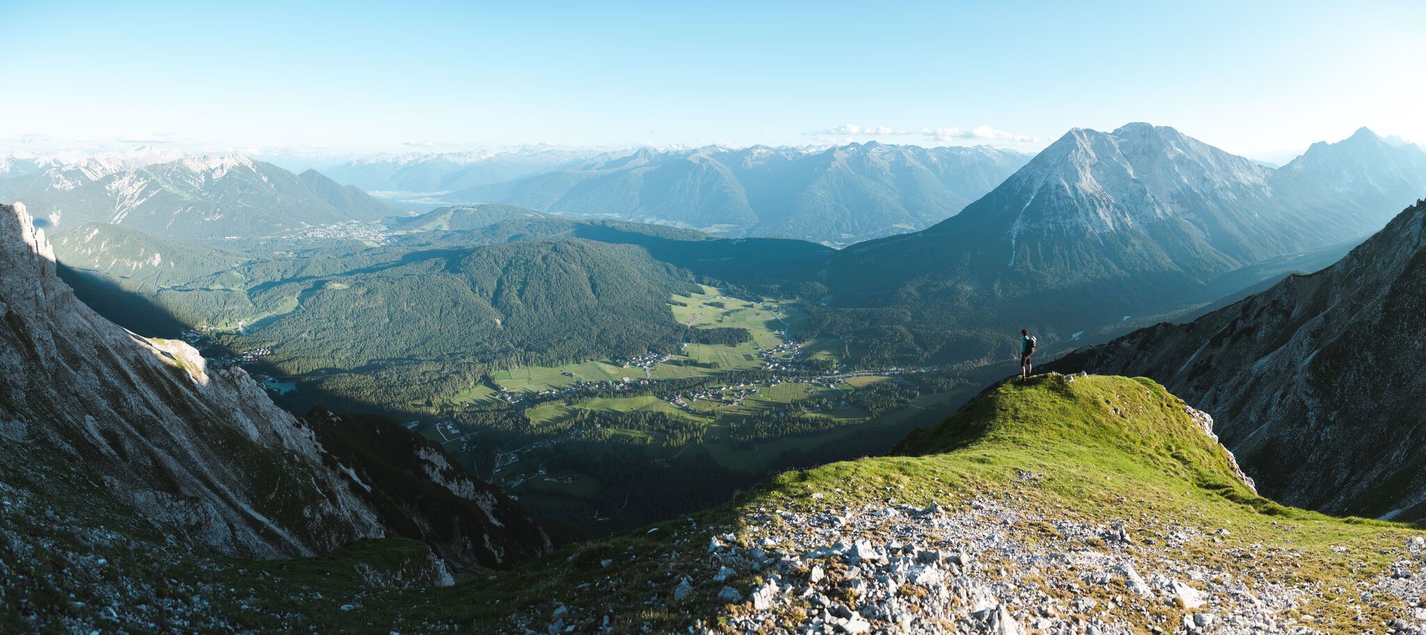
On the Seefelder Plateau
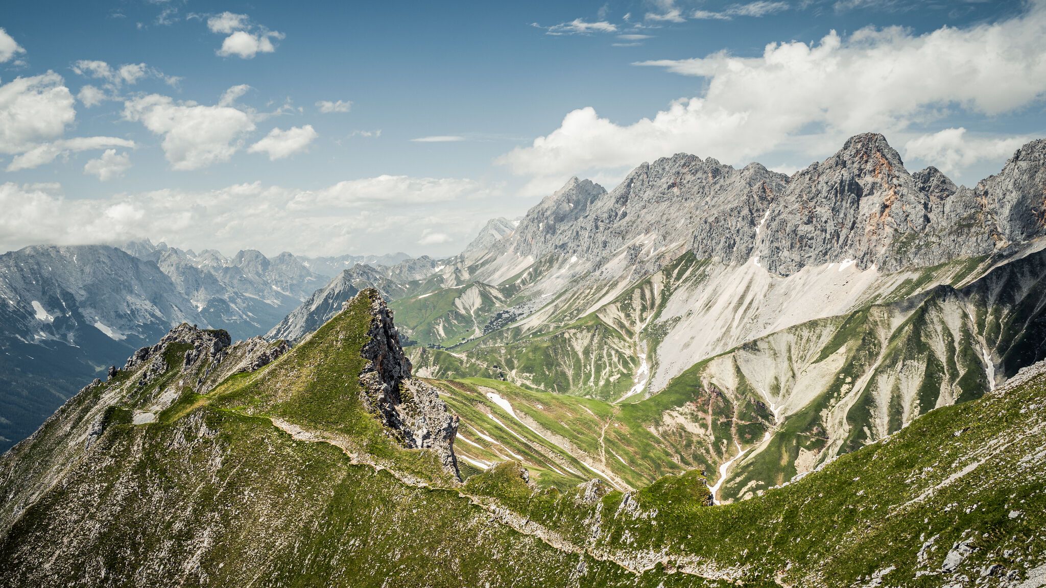
Hoch hinaus – die schönsten Gipfeltouren in der Region Seefeld
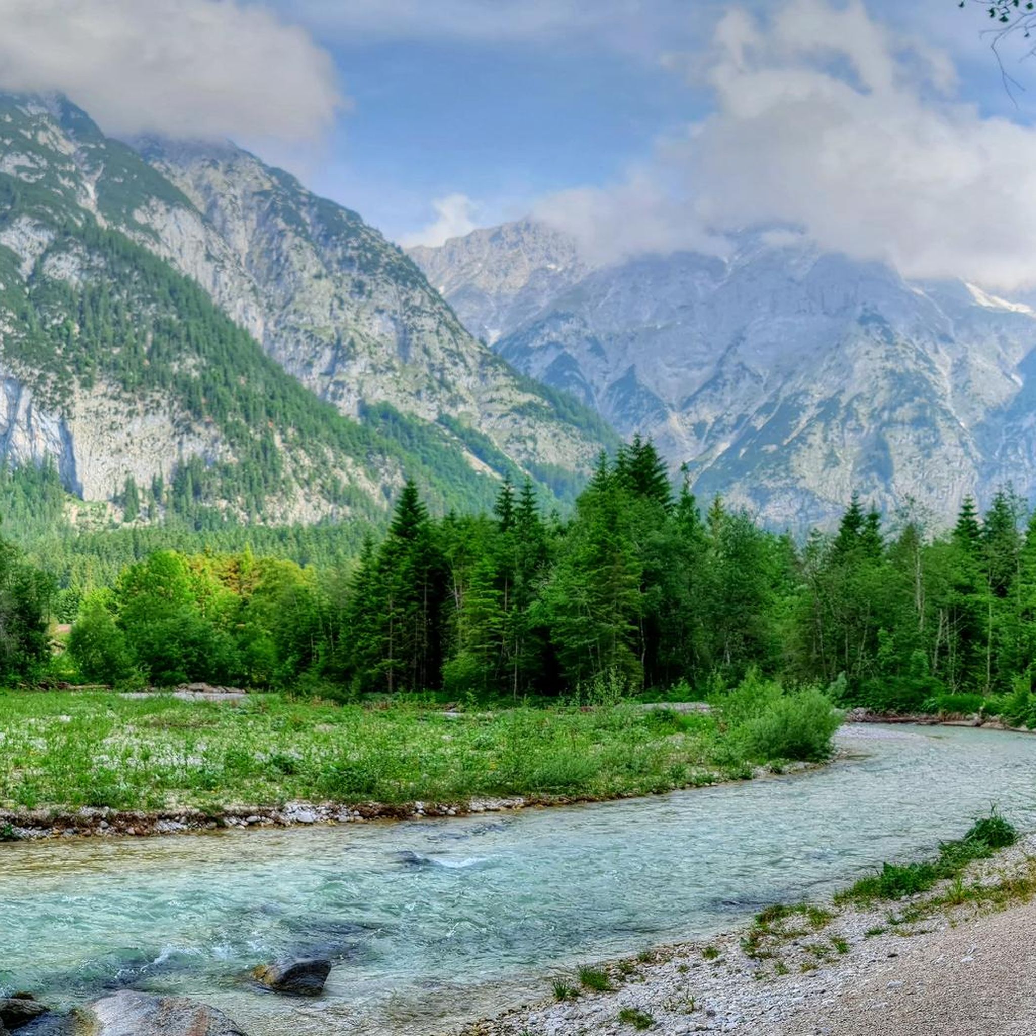
Hiking in Naturschutzgebiet Arnspitze
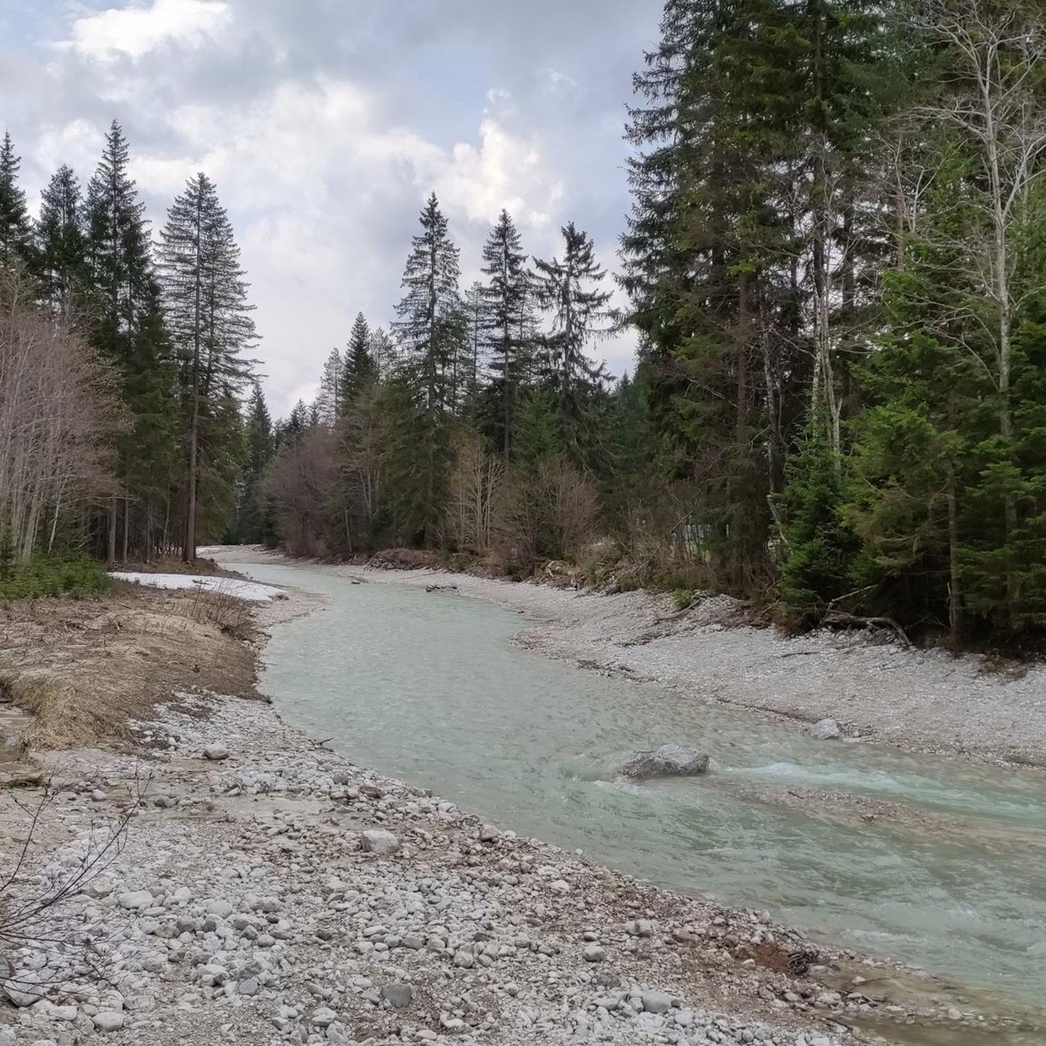
MTB Trails in Naturschutzgebiet Arnspitze
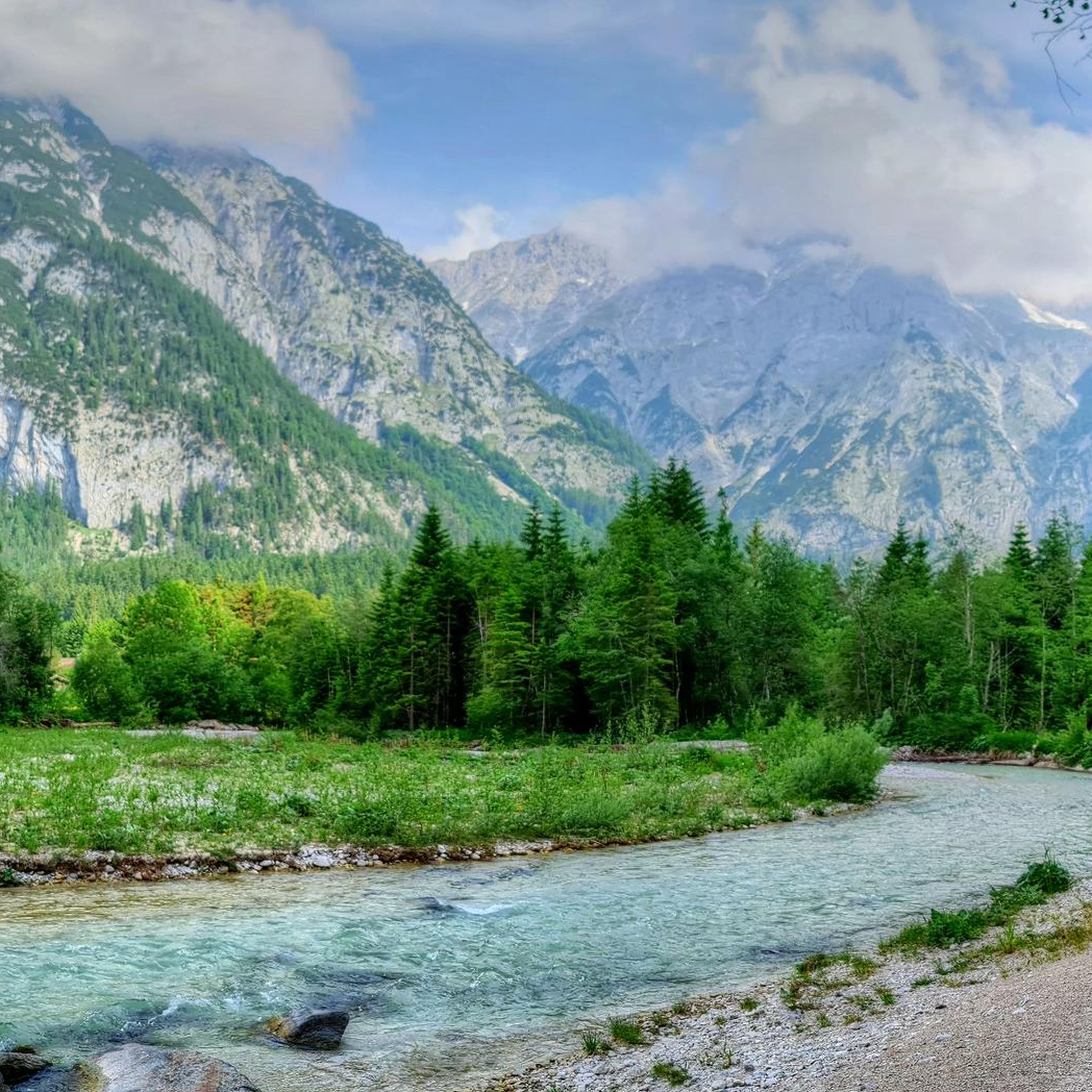
Cycling in Naturschutzgebiet Arnspitze
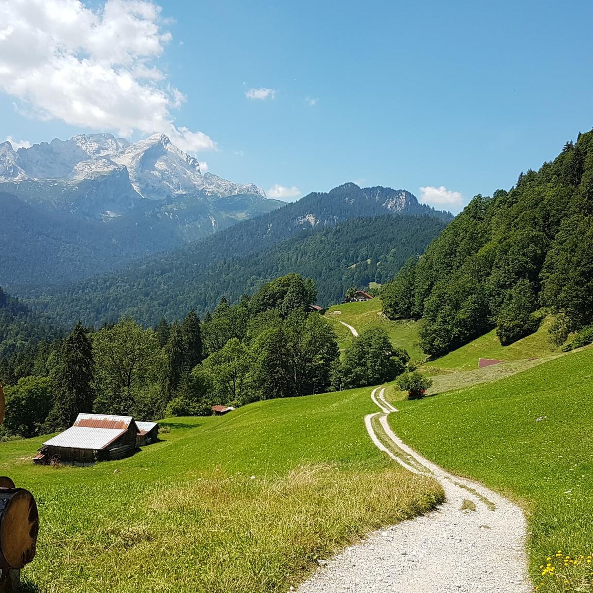
Gravel biking in Naturschutzgebiet Arnspitze
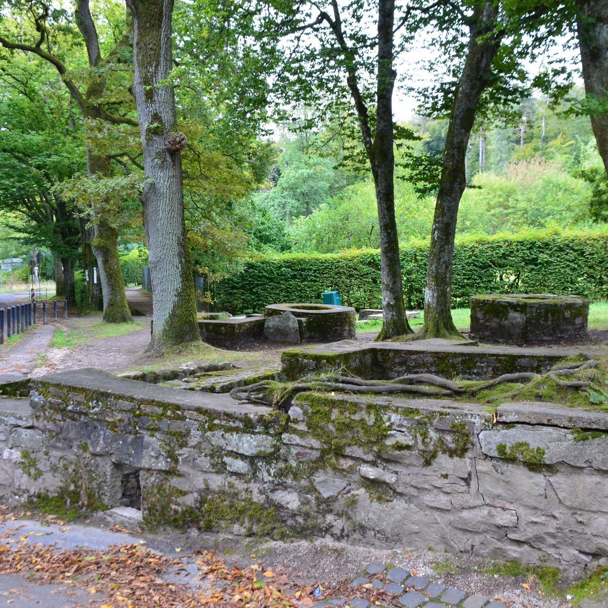
Mountain Hikes in Naturschutzgebiet Arnspitze
Road Cycling Routes in Naturschutzgebiet Arnspitze
Other adventures in Naturschutzgebiet Arnspitze

Tips from the Community

"Enjoyment by the River" is the motto of the Gasthaus zur Brücke (Inn at the Bridge). Hot meals served from 11:30 am to 9:00 pm (limited menu from 2:00 pm to 5:30 pm) Closed: Tuesdays & Wednesdays Seating: approx. 50 indoors, approx. 60 outdoors Other: Cash only! https://www.seefeld.com/de/infrastrukturen/bruecke-gasthaus-restaurant-caf.html
0
0

Here, you'll find easier routes than at the Great Wall of China across the street. There's a handy topo map available at the parking lot.
3
0
Easy to reach by bike, with plenty of space at the base of the wall and even a place to sit – it's actually the perfect climbing garden by fair means. The view of the Great Wall of China opposite is a bonus.
3
0

Brilliant from every angle, the Hohe Munde.
0
0

Here you'll find the Lottenseeht stamp. It's next to the restrooms at the bar.
0
0

...and again and again you are forced to stop for photos.
2
0

The "Flämenwandl" family climbing area is located near the banks of the Leutascher Ache River. In an idyllic setting, climbing routes ranging in difficulty from 3 to 6b+ can be tackled here. Thanks to the easy routes, the area is also ideal for providing a successful climbing experience for young climbers.
2
0

At halftime a good place to stop for a break with regional dishes of beef, pork, game
0
0
Frequently Asked Questions
What kind of terrain can I expect on the running routes in Naturschutzgebiet Arnspitze?
The Naturschutzgebiet Arnspitze offers a diverse range of terrains for runners. You'll find paths traversing montane, subalpine, and alpine regions, characterized by rugged peaks, varied spruce-fir and pine forests, and visible glacial formations. While some routes follow gentle riverside paths, others involve more challenging ascents through forest landscapes and towards higher elevations.
Are there running routes suitable for beginners or those looking for an easier run?
Yes, the region offers a variety of running experiences for all fitness levels. While some trails are challenging, there are also easier, well-maintained paths. Out of nearly 300 routes, 18 are classified as easy, making them suitable for beginners or those preferring a less strenuous run. These can typically last up to two hours with around 300 meters of elevation gain.
What are some notable natural features or landmarks I might see while running?
The Naturschutzgebiet Arnspitze is rich in natural beauty. You can encounter striking peaks like the Arnplattenspitze and Große Arnspitze, and observe glacial formations. Some routes might lead you past the steep rock face at Arnspitze, the Riedboden nature reserve, or the Schartenkopf ridge. You might also find yourself running through picturesque gorges like the Gleirschklamm. For specific viewpoints, consider routes that offer views towards Hohe Munde, such as the View of Hohe Munde – Sport Norz loop from Naturschutzgebiet Arnspitze.
Are there any circular running routes available?
Yes, many of the running routes in Naturschutzgebiet Arnspitze are designed as loops, offering varied scenery without retracing your steps. Examples include the popular Leutascher Ache Riverside Path – Leutascher Ache loop from Burggraben, or the ZUT-V5 loop from Leutasch, which takes you through diverse forest ecosystems.
What do other runners say about the trails in Naturschutzgebiet Arnspitze?
The running routes in Naturschutzgebiet Arnspitze are highly regarded by the komoot community, with an average score of 4.6 stars from over 400 reviews. More than 12,000 runners have used komoot to explore the varied terrain, often praising the diverse landscapes, well-maintained paths, and the untouched wilderness character of the area.
Are there any mountain huts or places to rest along the running trails?
While there are no traditional mountain huts directly on the highest peaks, the region does feature mountain huts that can serve as resting points or emergency shelters along some routes. Notable options include the Arnspitz Hut and the Emergency Shelter in Arnspitze Nature Reserve. These can be valuable for longer runs or in case of unexpected weather changes.
Can I bring my dog on the running trails in Naturschutzgebiet Arnspitze?
The Naturschutzgebiet Arnspitze is generally welcoming to dogs, but it's always recommended to keep them on a leash, especially given the rich biodiversity and presence of wildlife in the nature reserve. Always respect local signage and regulations regarding pets to ensure a pleasant experience for everyone and to protect the natural environment.
Are there any family-friendly running options in the area?
Yes, the variety of trails includes options suitable for families. The easier, well-maintained paths, particularly those with less elevation gain, are ideal for family outings. Consider routes along the Leutascher Ache river, which offer pleasant and relatively flat running experiences, perfect for enjoying nature with children.
What is the best time of year to go running in Naturschutzgebiet Arnspitze?
The diverse landscapes of Naturschutzgebiet Arnspitze offer different experiences throughout the year. Spring and autumn provide pleasant temperatures and beautiful scenery with changing foliage. Summer is excellent for higher-altitude runs, but be mindful of potential heat. Winter running is possible on lower, cleared paths, but higher trails may require snowshoes or specialized gear due to snow and ice. Always check local weather and trail conditions before heading out.
How many running routes are available in Naturschutzgebiet Arnspitze?
There are over 290 running routes documented in Naturschutzgebiet Arnspitze on komoot. This extensive network provides a wide range of choices, from easy riverside paths to more challenging mountain trails, ensuring options for every preference and fitness level.
Are there any routes that offer views of the prominent peaks in the region?
Absolutely. The region is dominated by rugged peaks like Arnplattenspitze, Mittlere Arnspitze, and Große Arnspitze. Many routes are designed to offer stunning panoramic views of these mountains. For example, the View of Hohe Munde – Sport Norz loop from Naturschutzgebiet Arnspitze provides excellent vistas towards Hohe Munde, a significant peak in the area.
What is the typical elevation gain on the running trails?
The elevation gain varies significantly depending on the route's difficulty. Easy routes might involve around 300 meters of elevation gain over a couple of hours. Moderately difficult trails can feature up to 900 meters of elevation gain over five hours. For instance, the Leutascher Ache Riverside Path – Leutascher Ache loop from Burggraben has an elevation gain of approximately 110 meters, while more challenging routes will naturally have much steeper ascents.
Most popular routes in Naturschutzgebiet Arnspitze
Most popular attractions in Naturschutzgebiet Arnspitze

Get inspired with the komoot mobile app


Explore more
Browse the best Running Trails & Routes in other regions.
