Naturschutzgebiet Arnspitze
Naturschutzgebiet Arnspitze
The best mountain hikes in Naturschutzgebiet Arnspitze
4.9
(564)
5,690
hikers
165
hikes
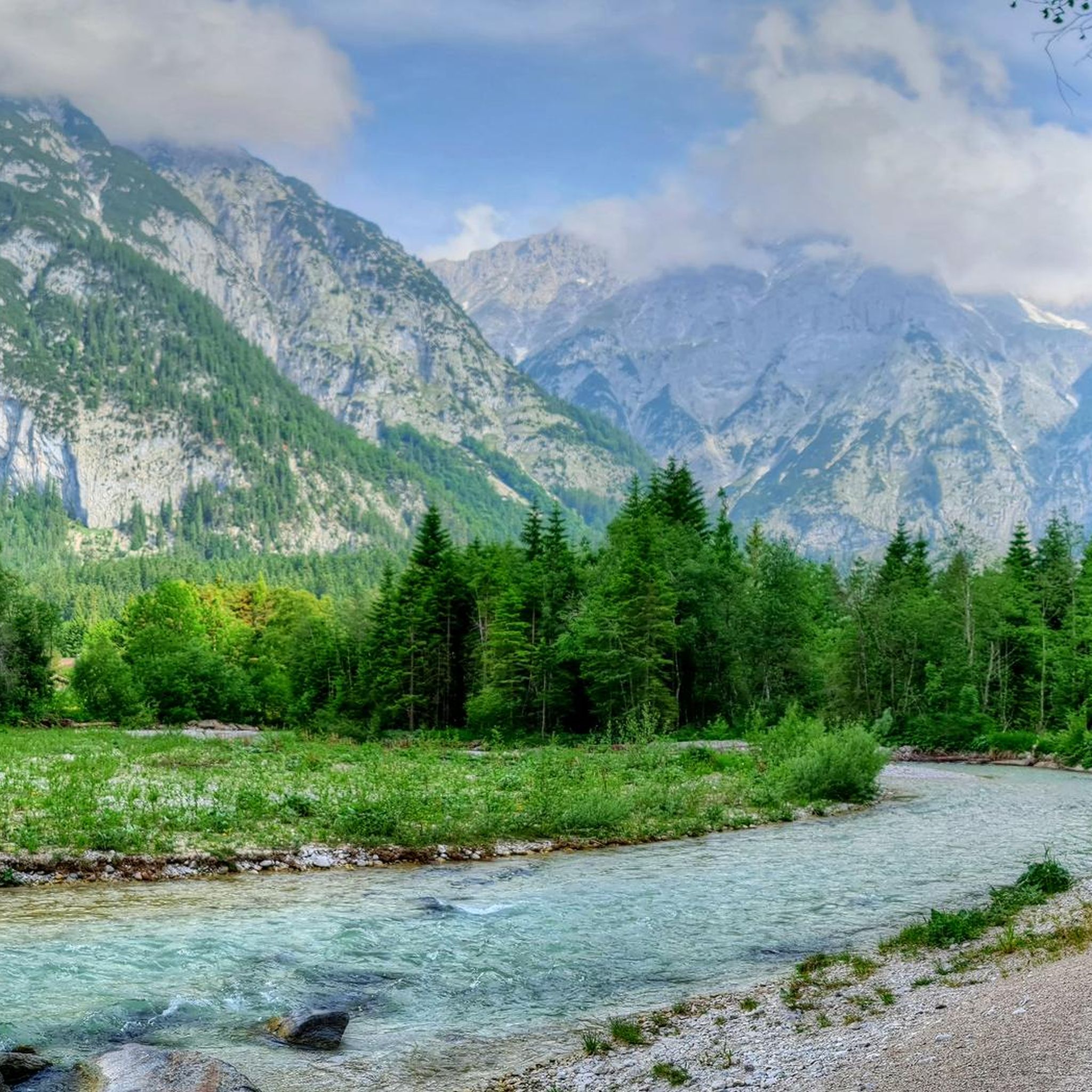
Mountaineering routes in Naturschutzgebiet Arnspitze traverse a rugged alpine landscape, characterized by sharp peaks of Wetterstein limestone and diverse forest ecosystems. This prominent mountain chain, nestled between Tyrol, Austria, and Bavaria, Germany, offers challenging ascents and demanding trails. The area is largely an untouched primeval landscape, bearing traces of glaciation with visible rounded forms and massive moraines.
Best mountaineering routes in Naturschutzgebiet Arnspitze
- The most popular mountaineering route is Arnplatten Peak – Große Arnspitze loop from Parkplatz Hoher Sattel,…
Last updated: July 8, 2026
5.0
(11)
175
hikers
12.8km
07:28
1,100m
1,100m
Hard mountaineering route. Very good fitness required. Sure-footedness, sturdy shoes and alpine experience required.
5.0
(6)
52
hikers
21.9km
09:18
1,220m
1,210m
Hard mountaineering route. Very good fitness required. Sure-footedness, sturdy shoes and alpine experience required.

Sign up for free
4.9
(10)
69
hikers
15.3km
08:39
1,290m
1,290m
Hard mountaineering route. Very good fitness required. Sure-footedness, sturdy shoes and alpine experience required.
5.0
(6)
72
hikers
Hard mountaineering route. Very good fitness required. Sure-footedness, sturdy shoes and alpine experience required.
4.7
(6)
54
hikers
14.8km
08:27
1,300m
1,300m
Hard mountaineering route. Very good fitness required. Sure-footedness, sturdy shoes and alpine experience required.
Get access to more routes and recommendations from other explorers.
Sign up for free
Already have an account?
Our route recommendations are based on thousands of hikes, rides, and runs completed by other people on komoot.
Start today with a free account
Your next adventure awaits.
Login or Signup
Popular around Naturschutzgebiet Arnspitze
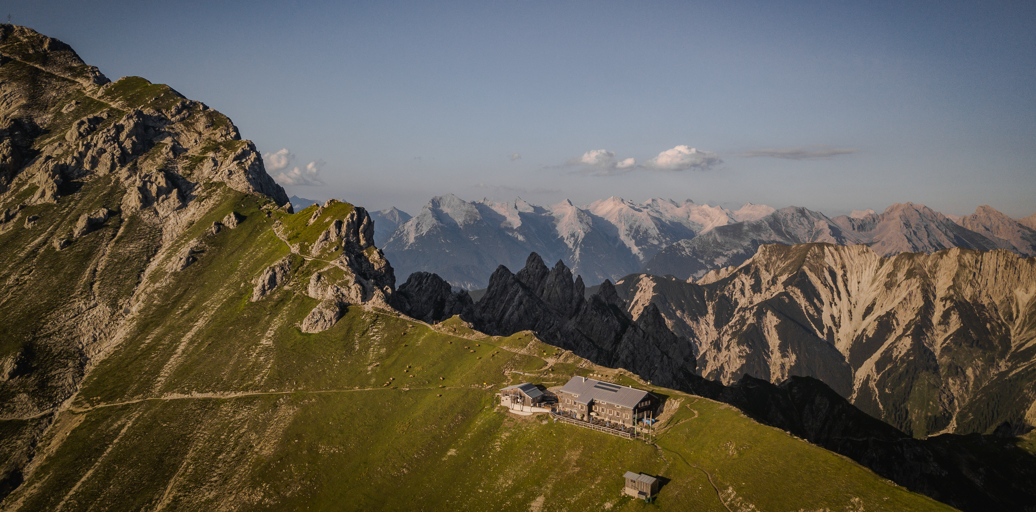
Hiking & enjoyment: huts and pastures around the Seefeld region - Tyrol's high plateau
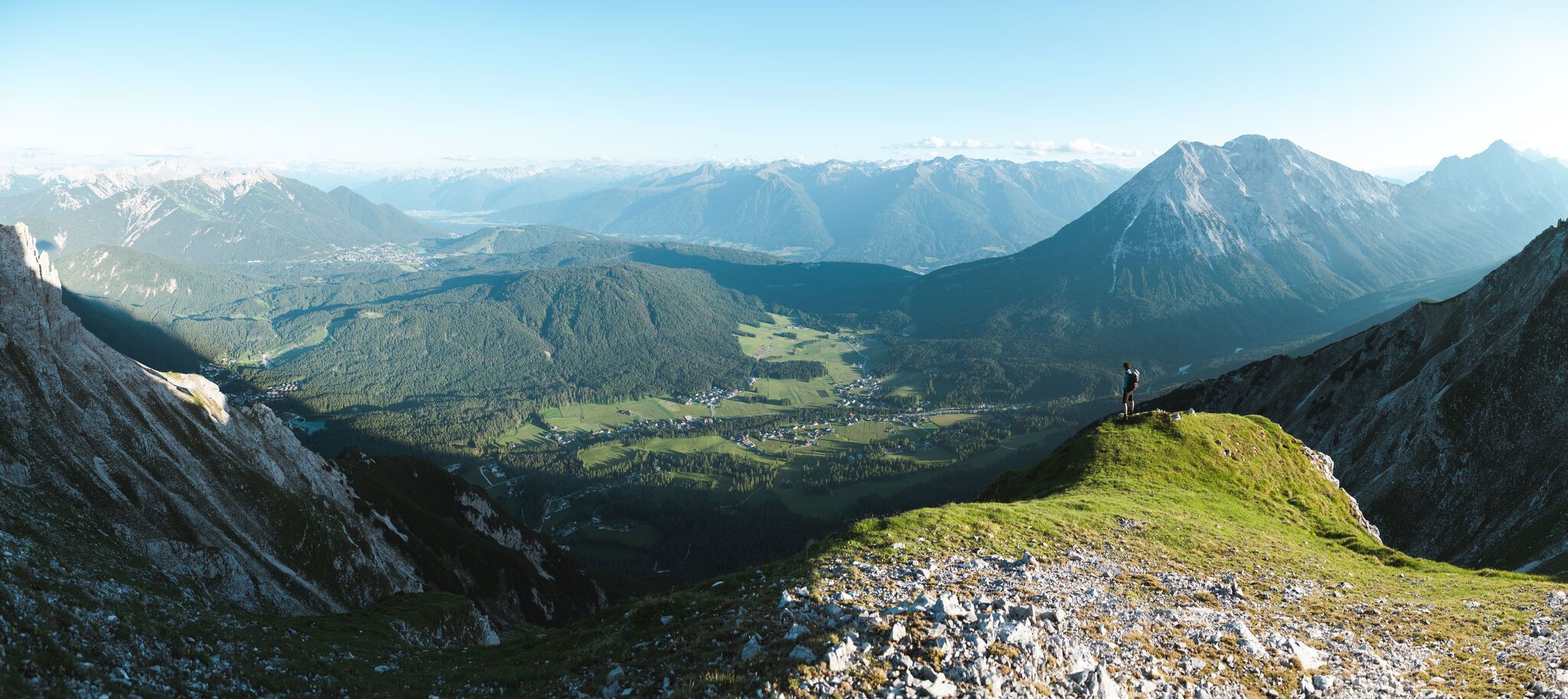
On the Seefelder Plateau
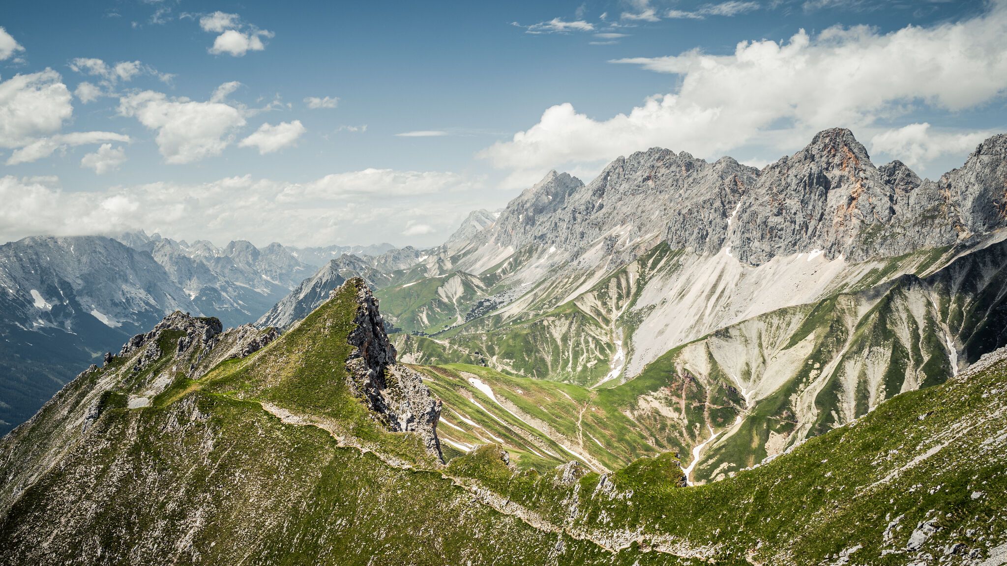
Hoch hinaus – die schönsten Gipfeltouren in der Region Seefeld
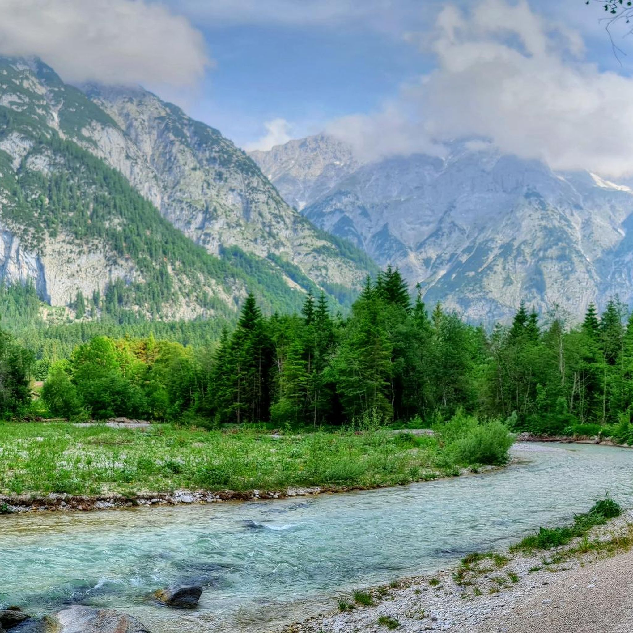
Hiking in Naturschutzgebiet Arnspitze
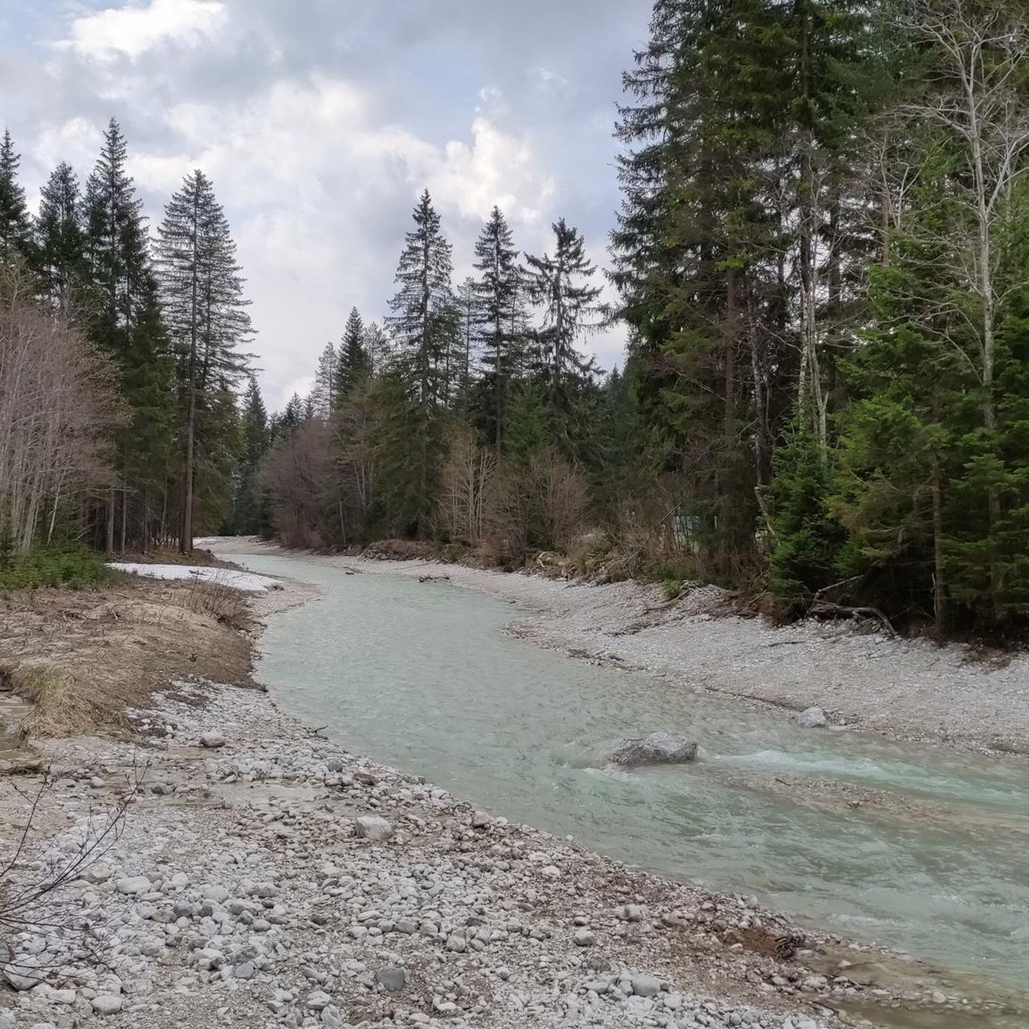
MTB Trails in Naturschutzgebiet Arnspitze
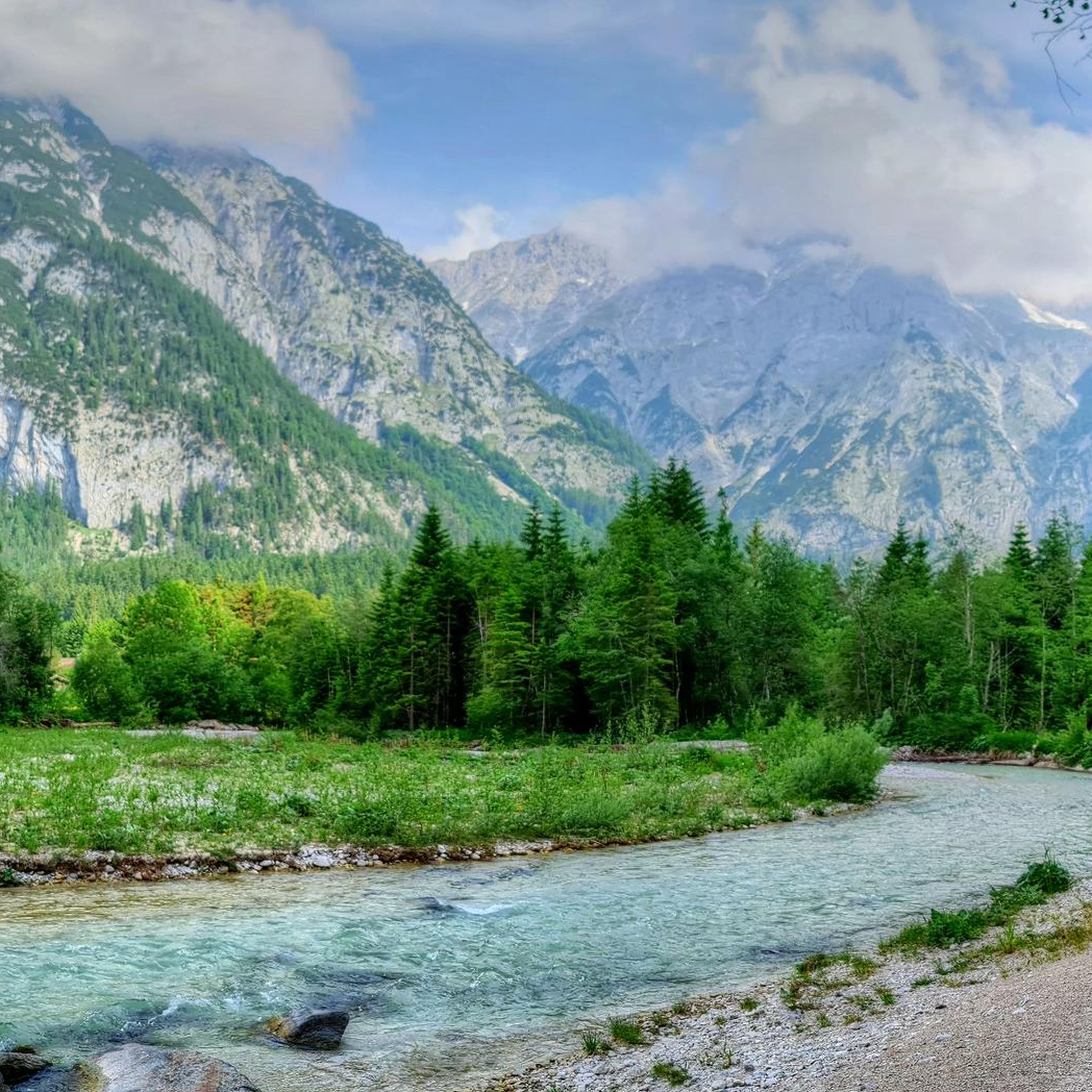
Cycling in Naturschutzgebiet Arnspitze
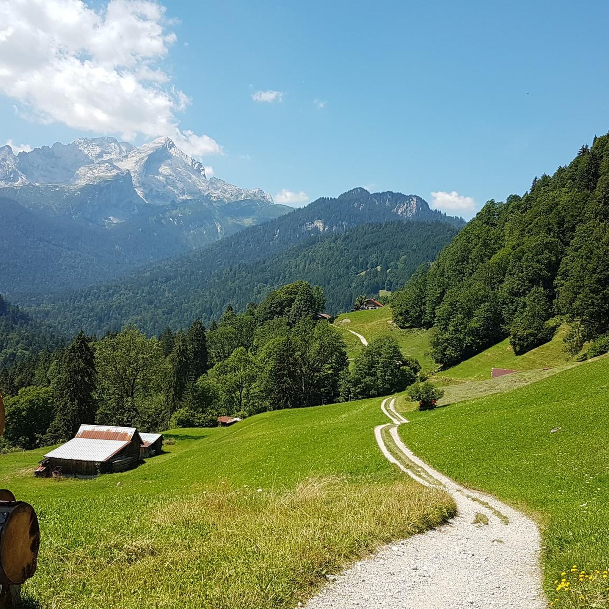
Gravel biking in Naturschutzgebiet Arnspitze
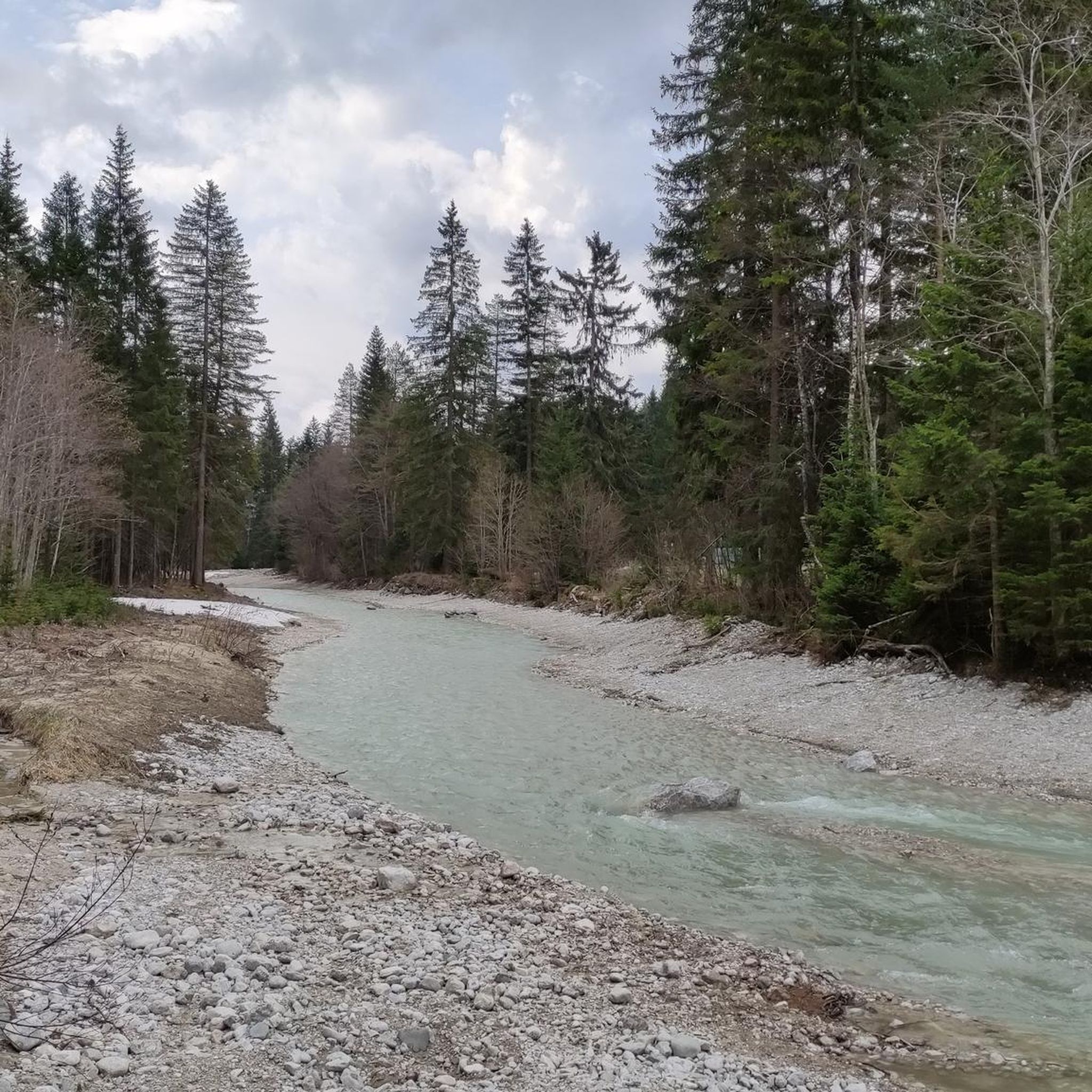
Running Trails in Naturschutzgebiet Arnspitze
Road Cycling Routes in Naturschutzgebiet Arnspitze
Other adventures in Naturschutzgebiet Arnspitze

Tips from the Community

Freedom from vertigo and sure-footedness are absolutely essential here. A helmet is also advisable due to the rather high risk of falling rocks, and a via ferrata set simply makes sense.
0
0

Saddle on the way between Scharnitz and Leutasch with good views and some benches for a break.
2
0
A beautiful panoramic summit and, in combination with the Arnspitzen, a challenging mountain tour.
2
0
Rather inconspicuous intermediate peak with quite good views in good weather.
1
0
The rope is not available at the moment, but the safety ring itself is also suitable to pull yourself up
0
0

A challenging trail with magnificent views. A head for heights and surefootedness are required. A helmet is recommended for the final 300-500 meters of climbing.
1
0

The peak has a safety wire rope on the west side, the only one you will find on the ridge
1
0

Frequently Asked Questions
How many mountaineering routes are available in Naturschutzgebiet Arnspitze?
There are nearly 180 mountaineering routes in Naturschutzgebiet Arnspitze. The majority of these, 107 routes, are classified as difficult, with another 70 considered moderate, and a few easier options available.
What is the general difficulty level of mountaineering in Naturschutzgebiet Arnspitze?
Mountaineering in Naturschutzgebiet Arnspitze is generally demanding, with most routes classified as difficult (T3). They require good physical fitness, sure-footedness, and often a head for heights. Some alpine climbs, like the ridge traverse, demand climbing expertise of at least grade II/3- and the use of climbing harnesses and ropes.
Are there any circular mountaineering routes in the area?
Yes, Naturschutzgebiet Arnspitze offers several challenging circular routes. For instance, the Arnplatten Peak – Große Arnspitze loop from Parkplatz Hoher Sattel is a difficult 12.9 km trail that takes around 7 hours 28 minutes. Another option is the Gehrenspitze Summit – Scharnitzjoch (2,048 m) loop from Parkplatz Puitbach-Ahrn, a longer 22.0 km route.
What kind of natural features and landmarks can I expect to see along the routes?
The region is characterized by rugged alpine peaks, primarily composed of Wetterstein limestone. You'll encounter diverse forest ecosystems, from spruce-fir to dwarf pine fields, and visible traces of glaciation. Notable points include the Arnplatten Peak and the High Saddle. The area is also home to the Arnspitz Hut, an unmanned resting spot.
Are there any mountain huts available for mountaineers?
Yes, the Arnspitz Hut is an unmanned hut situated at 1,930 meters below the summit of Große Arnspitze. It serves as a basic resting spot for mountaineers tackling the challenging routes in the area.
What are some of the most scenic mountaineering routes in Naturschutzgebiet Arnspitze?
For breathtaking views, consider routes that traverse the Riedbergscharte and the Achterköpfe, often starting from Leutasch. The Söllerinne – Meilerhütte loop from Puitbach is another popular choice, leading through varied mountain landscapes and offering panoramic vistas.
What do other mountaineers say about the routes in Naturschutzgebiet Arnspitze?
The routes in Naturschutzgebiet Arnspitze are highly rated by the komoot community, with an average score of 4.9 stars from over 600 reviews. Mountaineers often praise the challenging ascents, the untouched wilderness, and the dramatic alpine scenery.
What is the highest peak in Naturschutzgebiet Arnspitze and how challenging is it to reach?
The highest peak is Große Arnspitze, reaching an elevation of 2,196 meters. The normal climbing route (Weg 851) from Scharnitz is very demanding, requiring significant sure-footedness and alpine experience. It involves steep ascents and climbing sections of difficulty I+, aided by fixed rings, and typically takes around 7.5 hours.
Can I find routes that lead to multiple peaks or offer a traverse?
Yes, for very experienced alpinists, the traverse connecting the Große Arnspitze, Mittlere Arnspitze (2091 m), and Arnplattenspitze (2171 m) is a notable option. This route demands climbing expertise of at least grade II, and for some passages, grade 3-, often requiring climbing harnesses, ropes, and helmets for self-securing.
Are there any routes that pass by the Meilerhütte?
Yes, the Söllerinne – Meilerhütte loop from Puitbach is a 15.3 km trail that includes the Meilerhütte. Another option is the Gorge Near Scharnitz – Meilerhütte loop from Naturschutzgebiet Arnspitze, a difficult 14.5 km route.
What are the starting points for mountaineering routes in Naturschutzgebiet Arnspitze?
Common starting points include Scharnitz, Leutasch, and Mittenwald. Specific routes often begin from designated parking areas like Parkplatz Hoher Sattel or Parkplatz Puitbach-Ahrn, offering access to various parts of the Arnspitze Group.
Most popular routes in Naturschutzgebiet Arnspitze
Most popular attractions in Naturschutzgebiet Arnspitze

Get inspired with the komoot mobile app


Explore more
Browse the best Mountain Hikes & Routes in other regions.
