Naturschutzgebiet Arnspitze
Naturschutzgebiet Arnspitze
The best road cycling routes in Naturschutzgebiet Arnspitze
4.6
(197)
5,238
riders
33
rides
Road cycling routes in Naturschutzgebiet Arnspitze primarily traverse the surrounding regions, such as the Leutasch Valley and areas within the Landkreis Garmisch-Partenkirchen, as public roads do not extend into the core protected area. The landscape is characterized by dramatic peaks like the Große Arnspitze, which offers panoramic vistas of the Karwendel and Wetterstein ranges from a distance. Cyclists will find diverse forest zones, from spruce-fir at lower elevations to dwarf pine fields higher up, providing varied scenery. While the immediate…
Last updated: July 10, 2026
49
riders
17.9km
00:58
100m
100m
Moderate road ride. Great for any fitness level. Some segments of this route may be unpaved and difficult to ride.
89
riders
26.6km
01:05
160m
160m
Easy road ride. Great for any fitness level. Mostly well-paved surfaces and easy to ride.

Sign up for free
4.5
(2)
18
riders
19.4km
00:51
190m
190m
Easy road ride. Great for any fitness level. Mostly well-paved surfaces and easy to ride.
5.0
(7)
510
riders
75.8km
03:53
1,270m
1,270m
Hard road ride. Very good fitness required. Mostly well-paved surfaces and easy to ride.
40
riders
88.6km
03:52
810m
810m
Moderate road ride. Good fitness required. Mostly well-paved surfaces and easy to ride.
Get access to more routes and recommendations from other explorers.
Sign up for free
Already have an account?
Our route recommendations are based on thousands of hikes, rides, and runs completed by other people on komoot.
Start today with a free account
Your next adventure awaits.
Login or Signup
Popular around Naturschutzgebiet Arnspitze
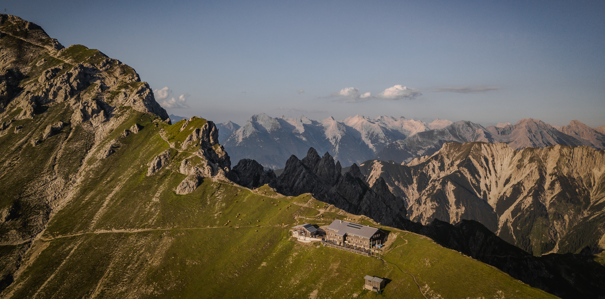
Hiking & enjoyment: huts and pastures around the Seefeld region - Tyrol's high plateau
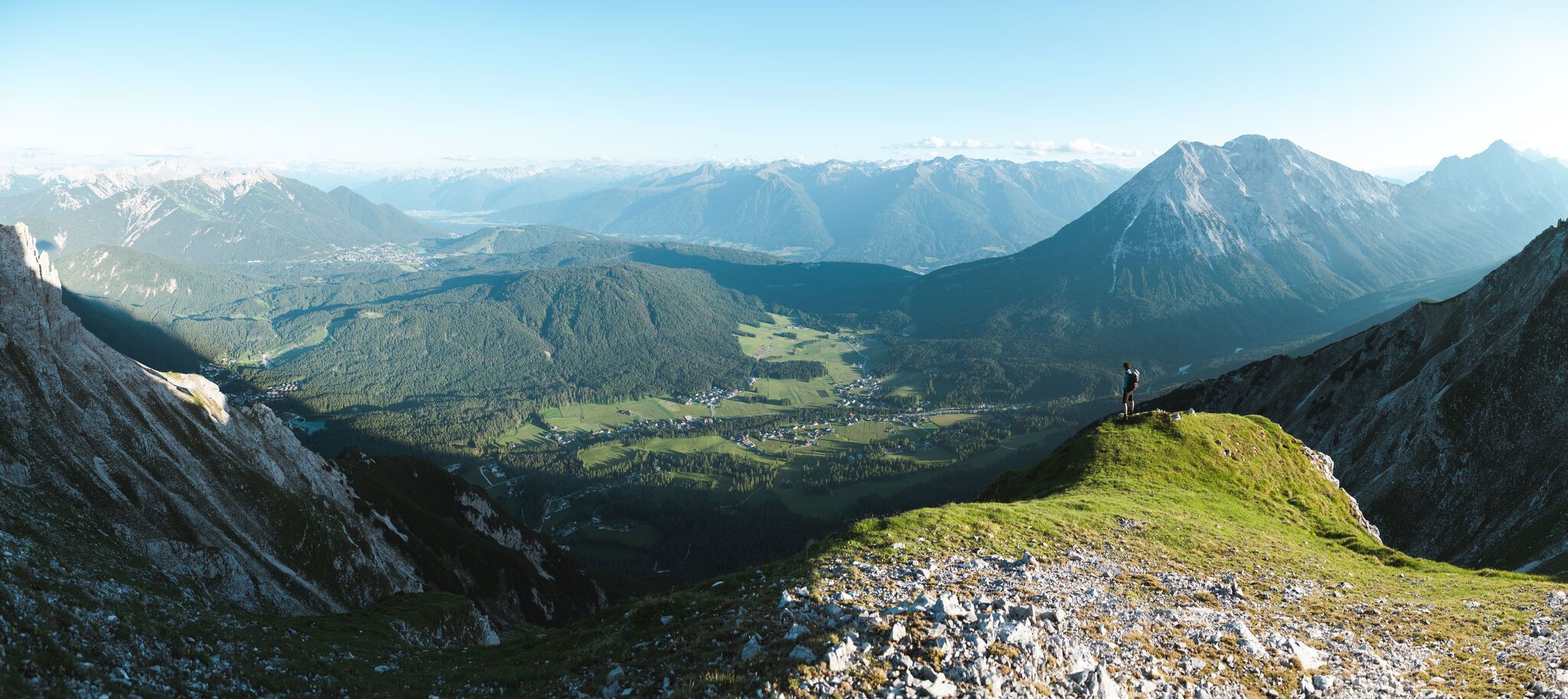
On the Seefelder Plateau
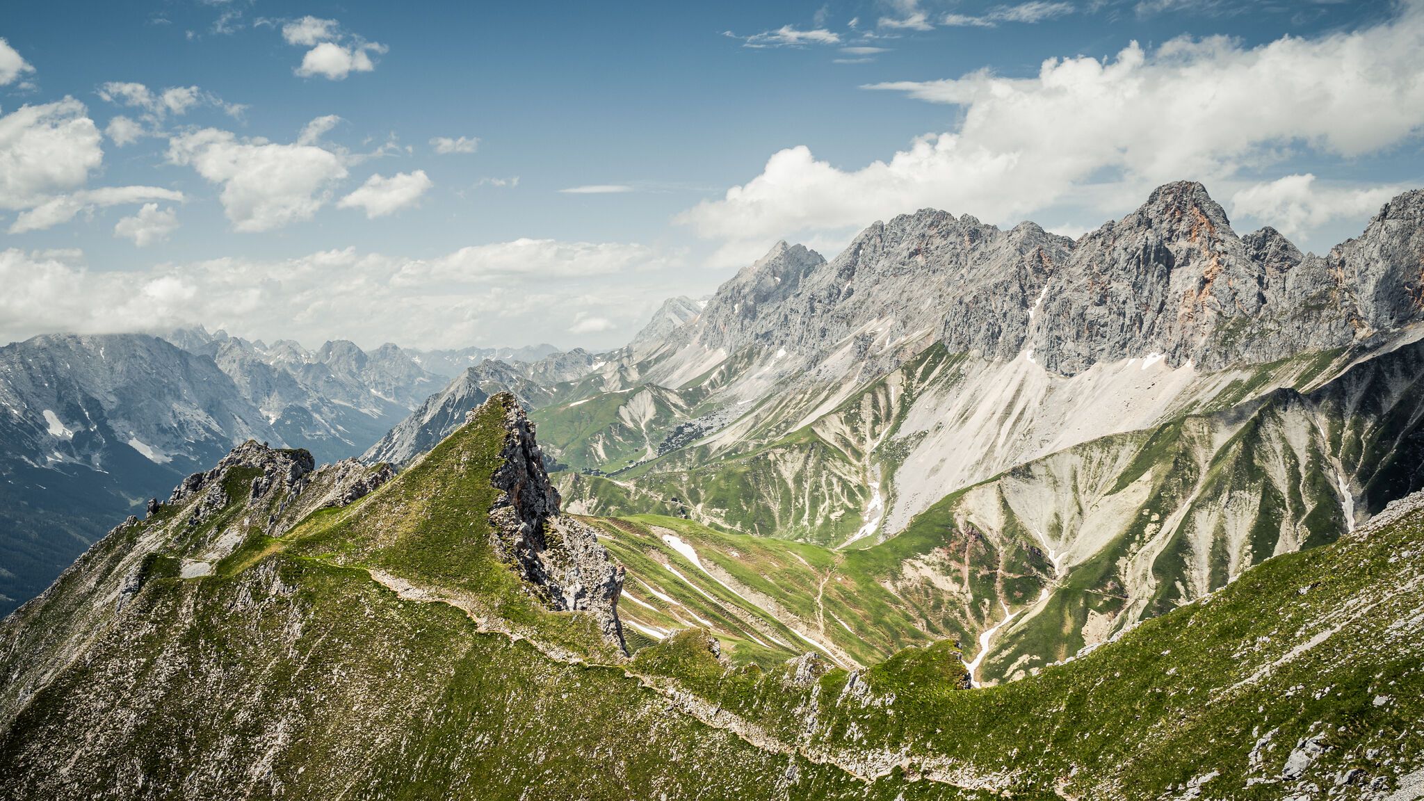
Hoch hinaus – die schönsten Gipfeltouren in der Region Seefeld
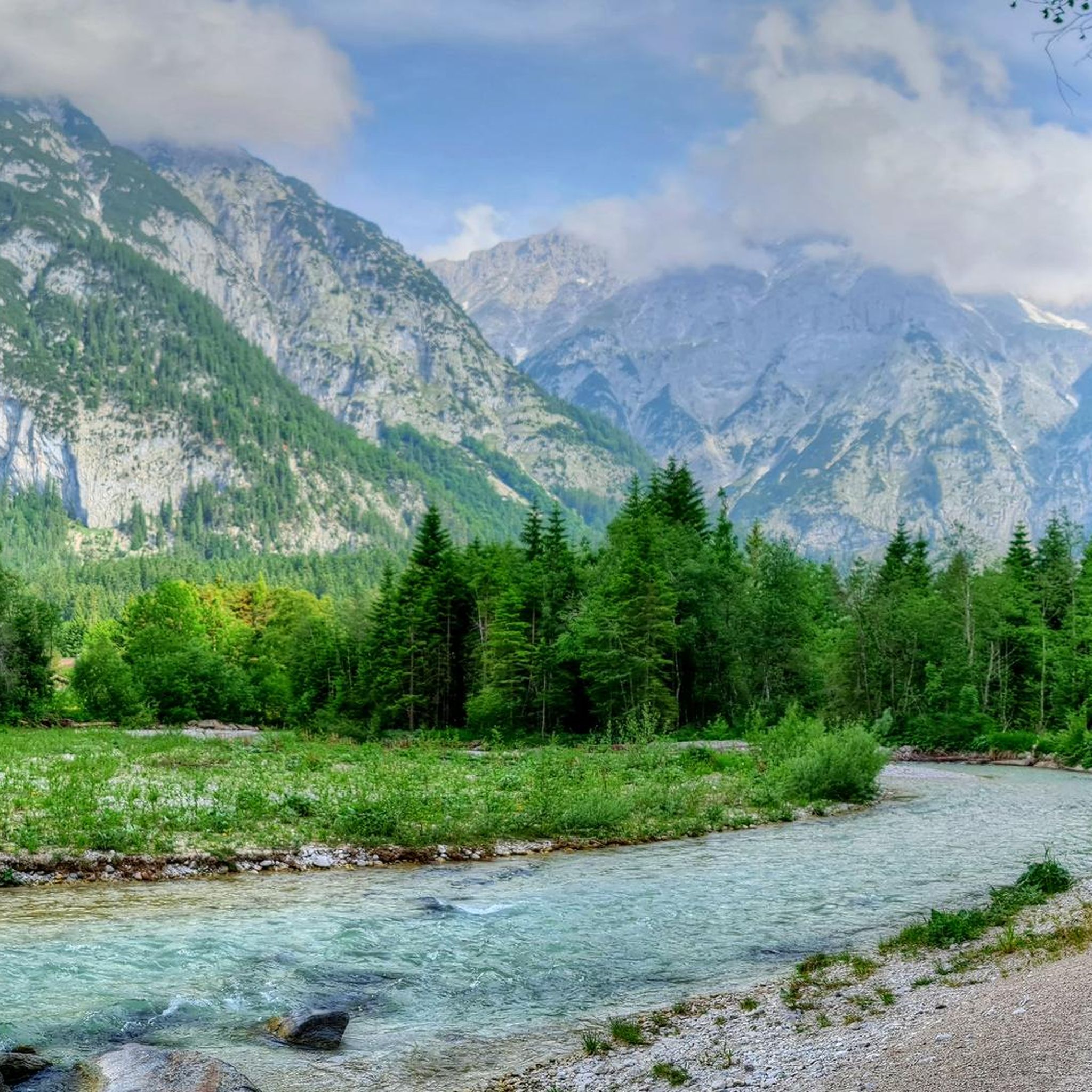
Hiking in Naturschutzgebiet Arnspitze
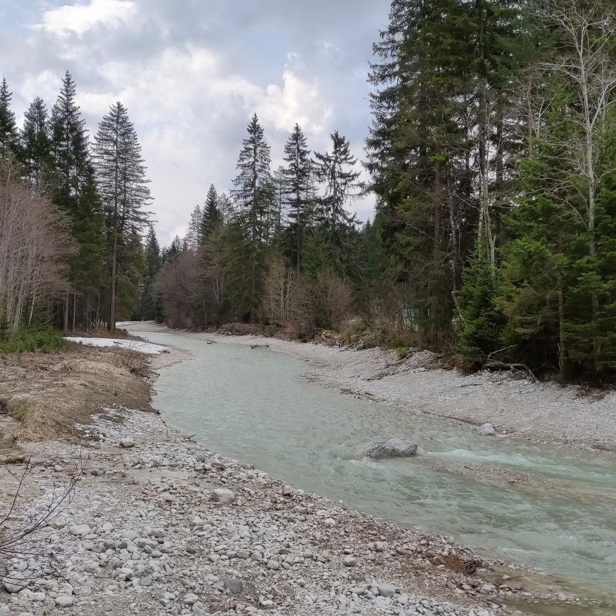
MTB Trails in Naturschutzgebiet Arnspitze
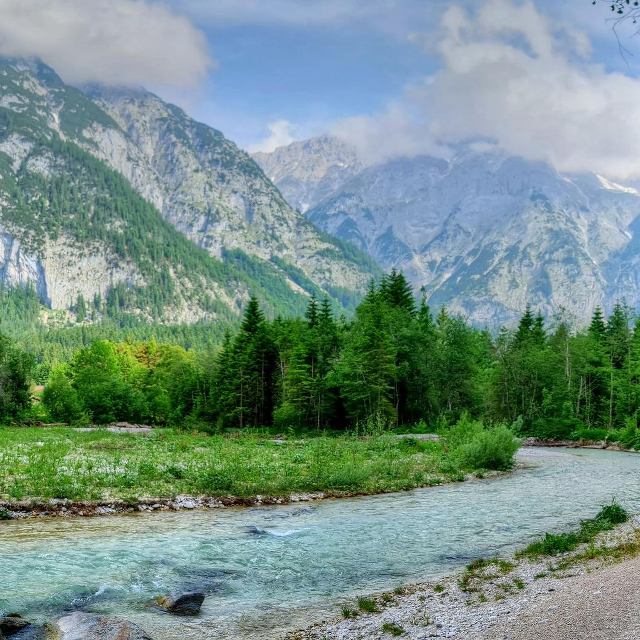
Cycling in Naturschutzgebiet Arnspitze
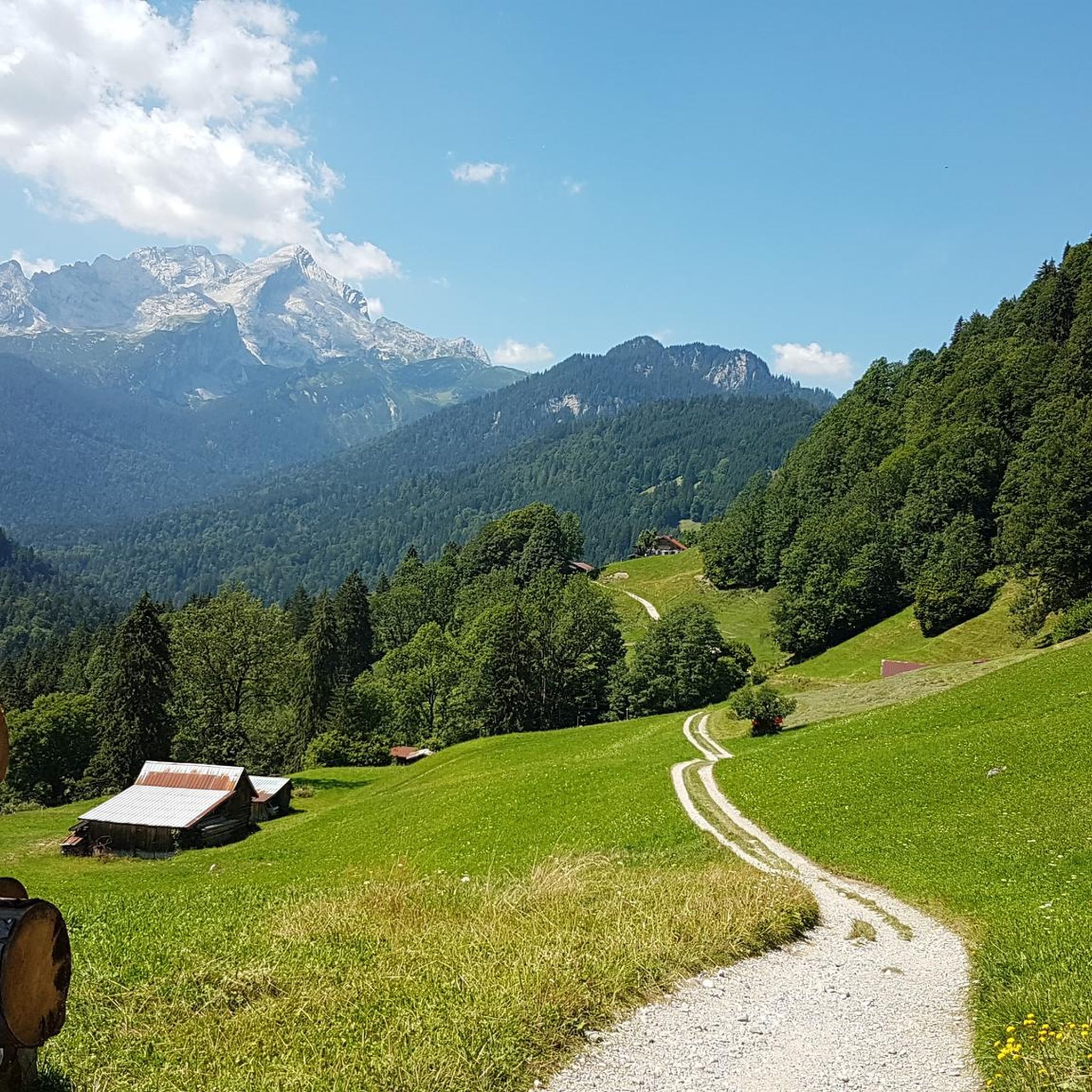
Gravel biking in Naturschutzgebiet Arnspitze
Mountain Hikes in Naturschutzgebiet Arnspitze
Running Trails in Naturschutzgebiet Arnspitze
Other adventures in Naturschutzgebiet Arnspitze

Tips from the Community

Brilliant from every angle, the Hohe Munde.
0
0


Inn Bridge near Telfs
0
0

Both the Leutasch parish church of St. Magdalena and its associated cemetery are listed as monuments and are very much worth seeing. The church stands in an exposed position on the Leutasch plateau and is a picturesque photo spot with the Hohe Munde in the background. https://de.wikipedia.org/wiki/Pfarrkirche_Oberleutasch
1
0

I went through here with 12 cyclists and everyone really enjoyed it. It's happening here
2
0

The church and cemetery are listed as monuments. Worth seeing!
2
1

Also worth a visit from the inside!
2
1

the Schmalenseehöhe is at 960 m above sea level
0
0
Frequently Asked Questions
How many road cycling routes are available in the Naturschutzgebiet Arnspitze area?
The region surrounding Naturschutzgebiet Arnspitze offers over 30 road cycling routes. These routes primarily traverse areas like the Leutasch Valley and parts of Landkreis Garmisch-Partenkirchen, providing diverse options for cyclists.
What kind of difficulty levels can I expect for road cycling routes around Naturschutzgebiet Arnspitze?
You'll find a good range of difficulty levels. There are 8 easy routes, 21 moderate routes, and 3 challenging routes. This variety ensures that both beginners and experienced cyclists can find suitable paths, from gentle valley loops to more demanding climbs.
Are there family-friendly road cycling routes suitable for all ages?
Yes, the Leutasch Valley, which borders the reserve, offers several easy and family-friendly routes. For instance, the Leutasch Valley Scenic Road – Leutasch sign loop from Burggraben is an easy 16.5-mile trail, and the Leutasch sign – Obern Chapel loop from Ahrn is another gentle 12.1-mile path, both ideal for a relaxed family outing.
Can I find circular road cycling routes in the Naturschutzgebiet Arnspitze region?
Yes, many of the road cycling routes in the area are designed as loops, allowing you to start and end at the same point. Examples include the popular Leutasch Valley Scenic Road – Leutasch sign loop from Burggraben and the more challenging Mösern Climb – Descent to Telfs loop from Gießenbach.
What natural features and landmarks can I see along the road cycling routes?
While public roads don't enter the core reserve, routes in the surrounding areas offer stunning views of dramatic peaks like the Große Arnspitze. You can also spot evidence of past glacial activity and diverse forest zones. Some routes might offer distant views of highlights such as the Arnplatten Peak or the High Saddle.
What do other road cyclists enjoy most about road cycling in Naturschutzgebiet Arnspitze?
The area is highly rated by the komoot community, with an average score of 4.6 stars from over 180 reviews. Cyclists often praise the breathtaking scenery, the well-maintained paved surfaces in the surrounding valleys, and the variety of routes that cater to different fitness levels, all while offering views of the impressive mountain ranges.
Are there any routes that offer particularly good views of the surrounding mountains?
Many routes provide excellent vistas of the Karwendel and Wetterstein ranges. For instance, the View of the Zugspitze – Häselgehrbach Waterfall loop from Scharnitz offers expansive mountain views, including the distant Zugspitze, alongside natural attractions like waterfalls.
What is the best time of year for road cycling in the Naturschutzgebiet Arnspitze region?
The best time for road cycling is generally from spring through autumn. During these seasons, the weather is more favorable, and the roads are clear of snow and ice, allowing for comfortable rides and optimal enjoyment of the scenic landscapes.
Are there cafes or restaurants along the road cycling routes for a break?
Yes, especially in the Leutasch Valley and other populated areas bordering the reserve, you'll find various cafes, pubs, and restaurants. These establishments are often cyclist-friendly and provide good opportunities for a break, refreshments, or a meal during your ride.
Where can I find parking for road cycling in the vicinity of Naturschutzgebiet Arnspitze?
Parking is generally available in the towns and villages surrounding the reserve, such as Scharnitz and Leutasch. These locations serve as excellent starting points for many road cycling routes, offering convenient access to the trails.
Can I bring my dog on road cycling routes in the Leutasch Valley area?
While the core Naturschutzgebiet Arnspitze has strict regulations, road cycling routes in the surrounding Leutasch Valley are generally dog-friendly. However, it's always advisable to keep your dog on a leash, especially in populated areas or near wildlife, and to be mindful of other cyclists and pedestrians.
Are there any challenging road bike climbs in the region?
Yes, for those seeking a challenge, routes like the Mösern Climb – Descent to Telfs loop from Gießenbach offer significant elevation gains and descents. This particular route covers 47.1 miles with over 1200 meters of climbing, providing a demanding experience for fit cyclists.
Most popular routes in Naturschutzgebiet Arnspitze
Most popular attractions in Naturschutzgebiet Arnspitze

Get inspired with the komoot mobile app


Explore more
Browse the best Road cycling routes in other regions.
