Naturschutzgebiet Arnspitze
Naturschutzgebiet Arnspitze
The best MTB trails in Naturschutzgebiet Arnspitze
4.6
(6274)
29,580
riders
177
rides
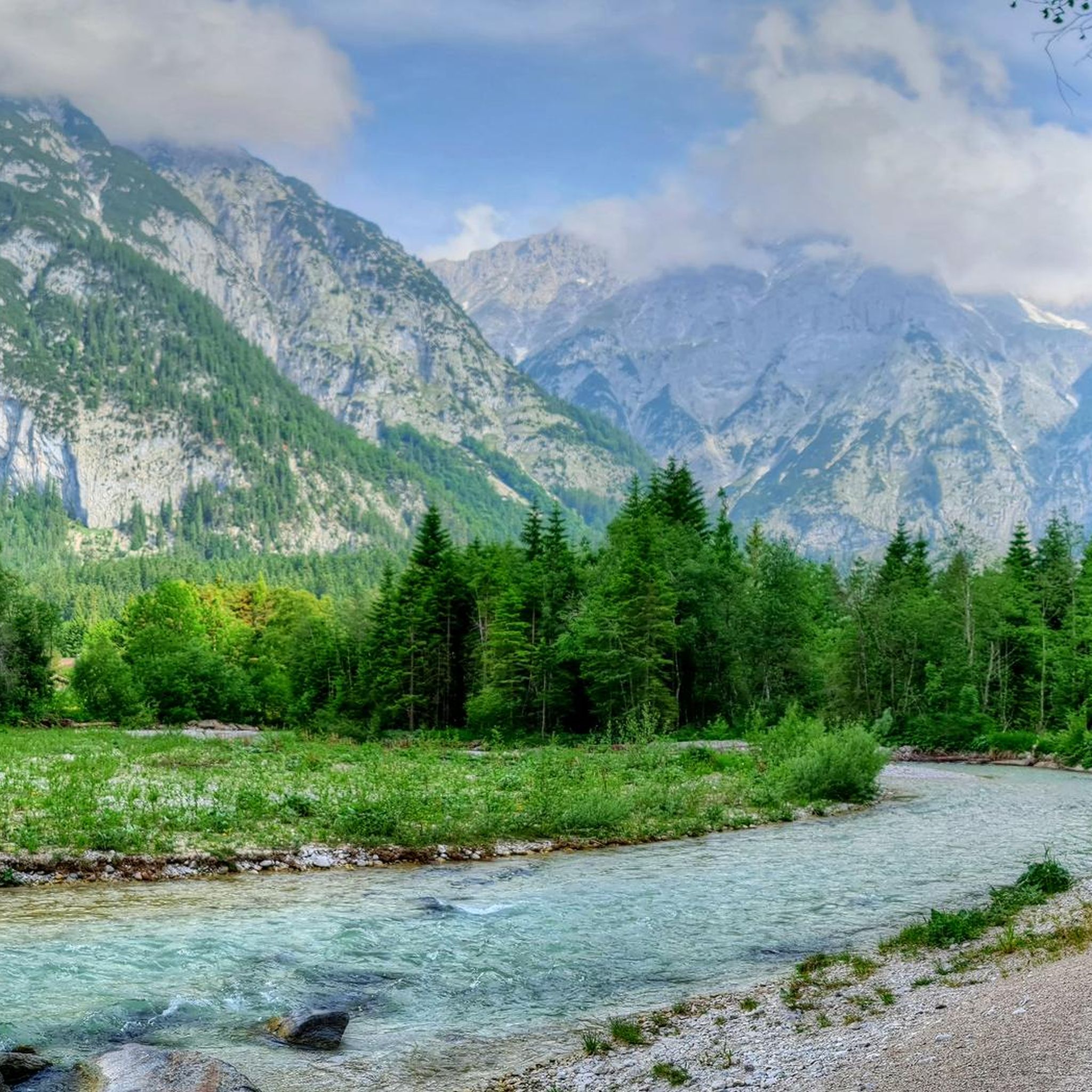
Mountain bike trails in Naturschutzgebiet Arnspitze traverse a dramatic alpine landscape characterized by rugged peaks and diverse natural features. The region is part of the Northern Limestone Alps, featuring imposing formations like Große Arnspitze (2196 m) and Arnplattenspitze (2171 m). Forest ecosystems vary with altitude, from spruce-fir forests to extensive mountain pine fields in the subalpine zone, offering varied terrain for mountain biking. This area provides a network of routes through largely untouched primeval landscapes.
Best mountain bike trails in…
Last updated: July 5, 2026
4.8
(151)
675
riders
51.0km
05:00
1,340m
1,340m
Hard mountain bike ride. Very good fitness required. Suitable for all skill levels.
4.7
(42)
169
riders
Moderate mountain bike ride. Good fitness required. Suitable for all skill levels.

Sign up for free
4.6
(40)
196
riders
20.1km
01:14
100m
100m
Easy mountain bike ride. Great for any fitness level. Suitable for all skill levels.
4.8
(23)
108
riders
Moderate mountain bike ride. Good fitness required. Suitable for all skill levels.
13
riders
Easy mountain bike ride. Great for any fitness level. Suitable for all skill levels.
Get access to more routes and recommendations from other explorers.
Sign up for free
Already have an account?
Our route recommendations are based on thousands of hikes, rides, and runs completed by other people on komoot.
Start today with a free account
Your next adventure awaits.
Login or Signup
Popular around Naturschutzgebiet Arnspitze
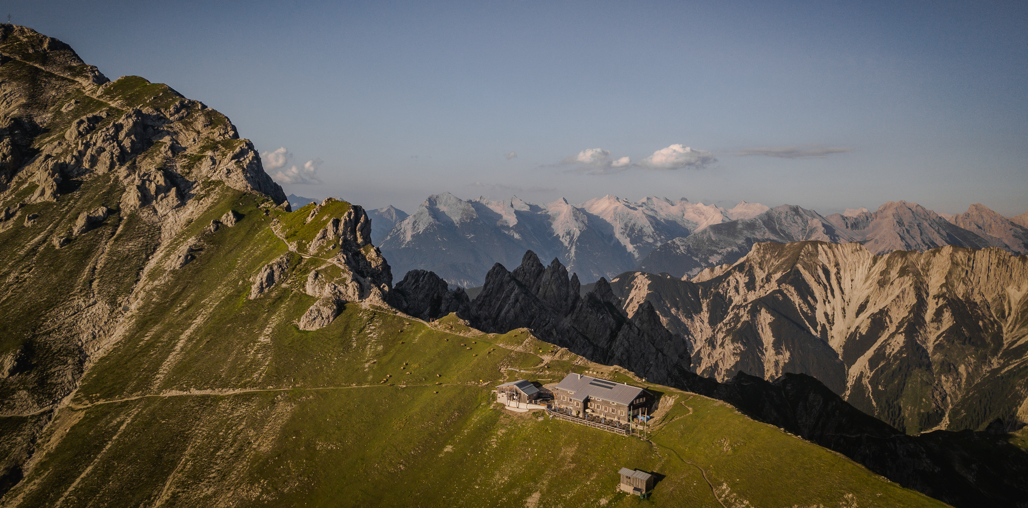
Hiking & enjoyment: huts and pastures around the Seefeld region - Tyrol's high plateau
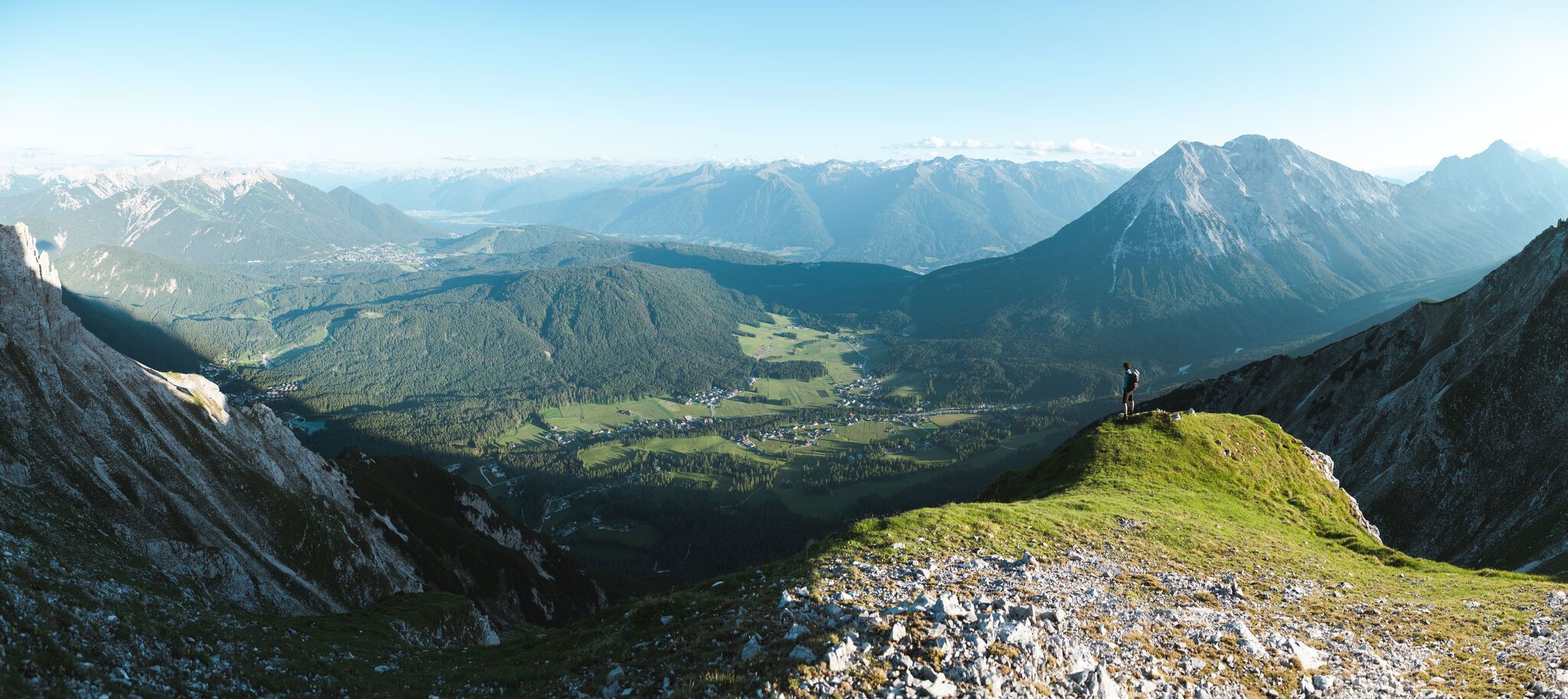
On the Seefelder Plateau
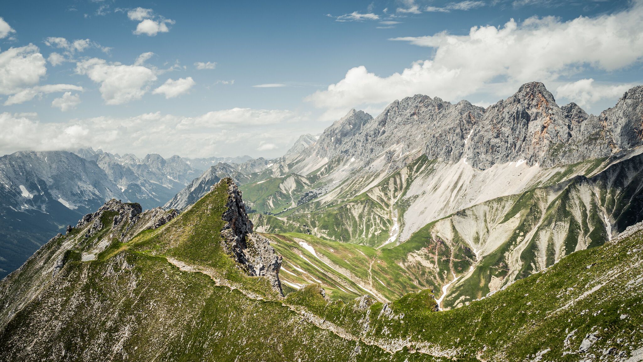
Hoch hinaus – die schönsten Gipfeltouren in der Region Seefeld
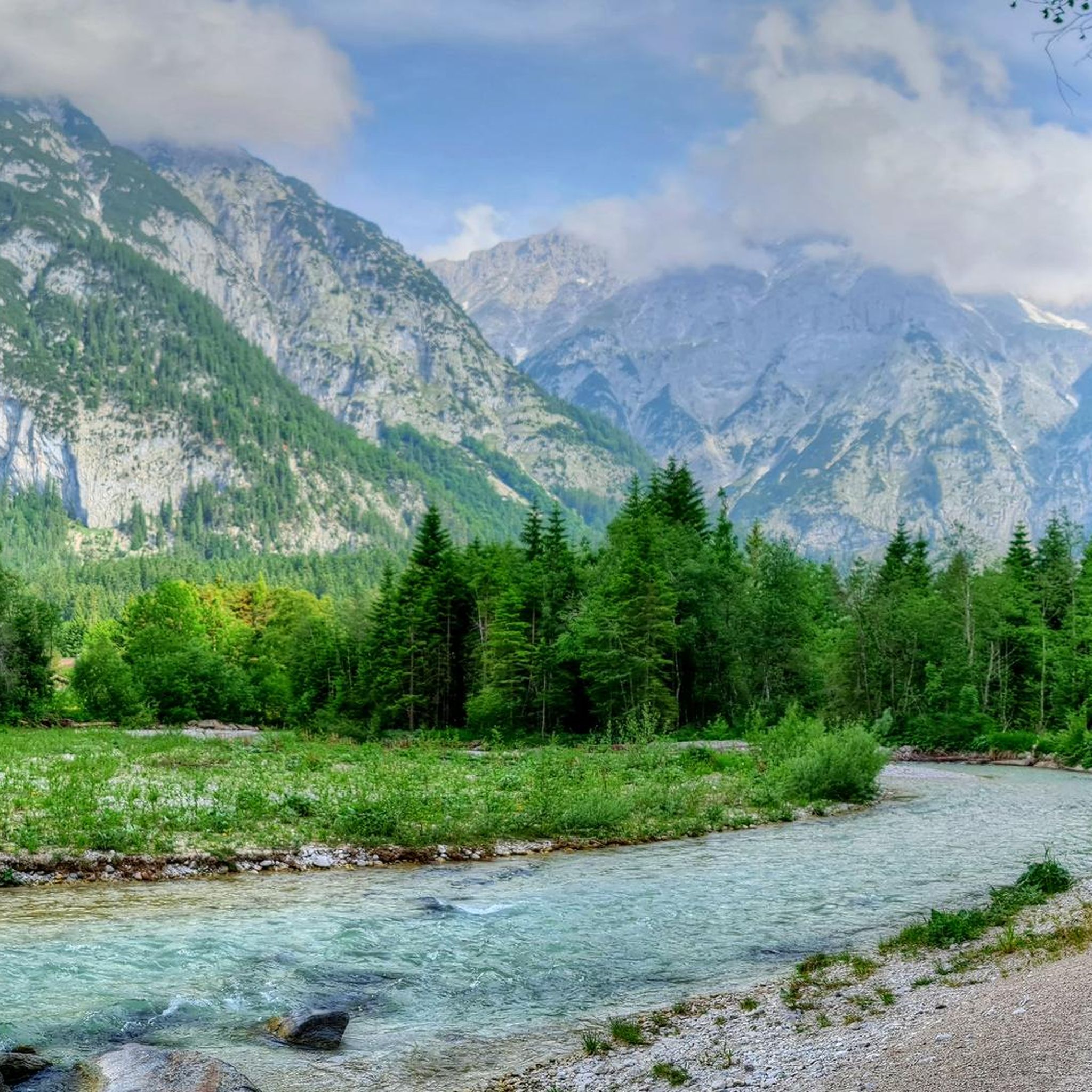
Hiking in Naturschutzgebiet Arnspitze
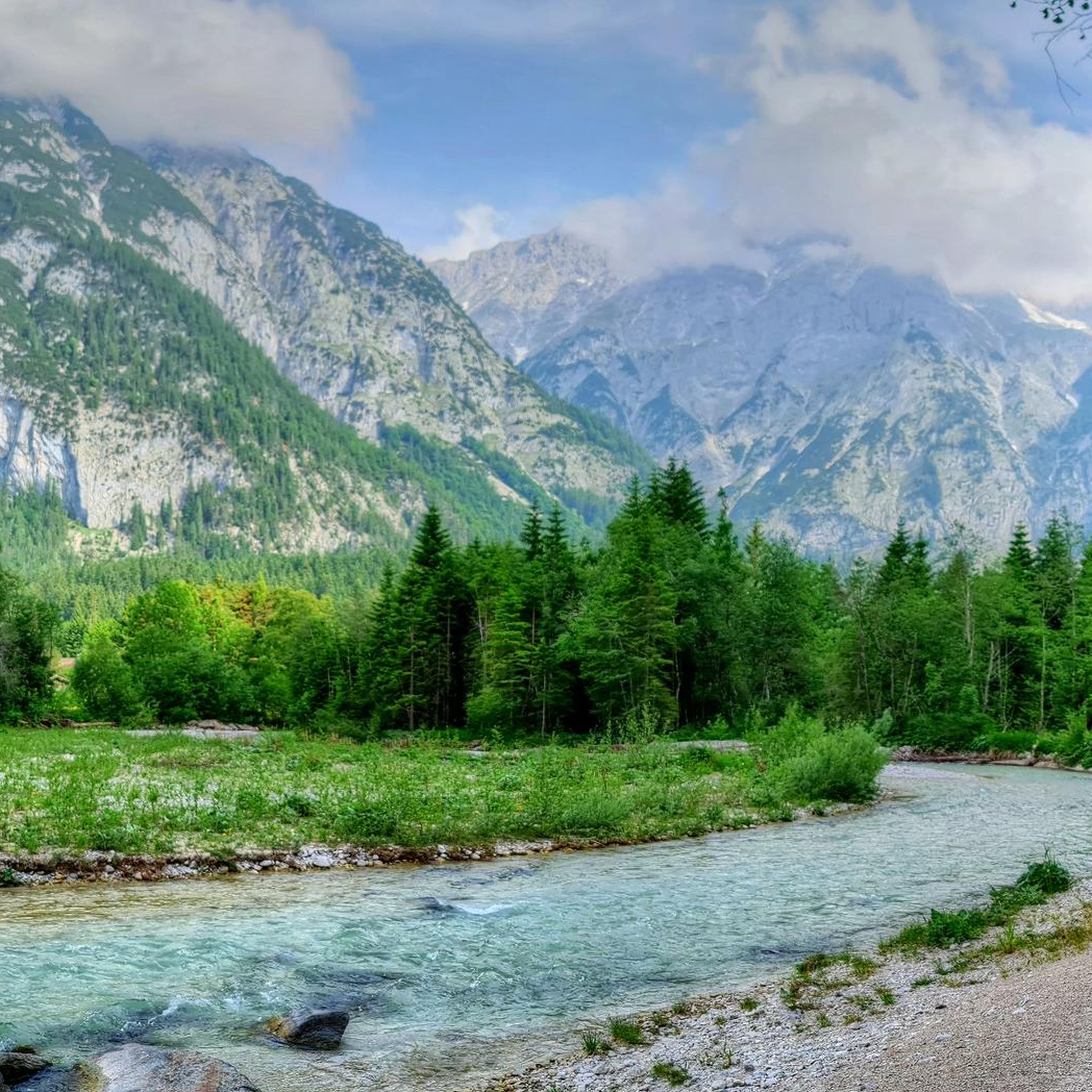
Cycling in Naturschutzgebiet Arnspitze
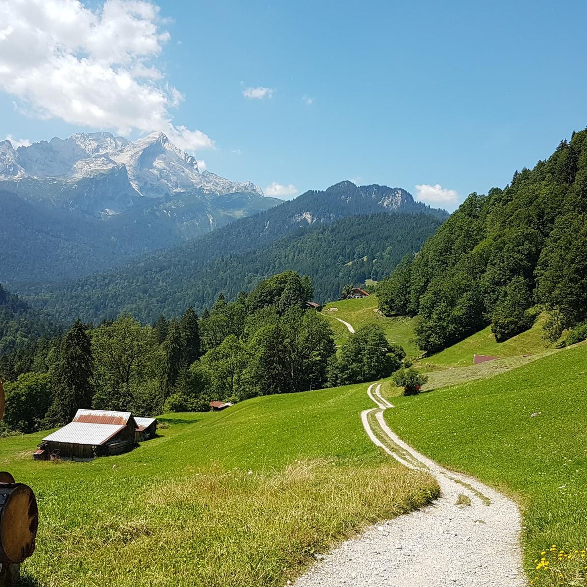
Gravel biking in Naturschutzgebiet Arnspitze
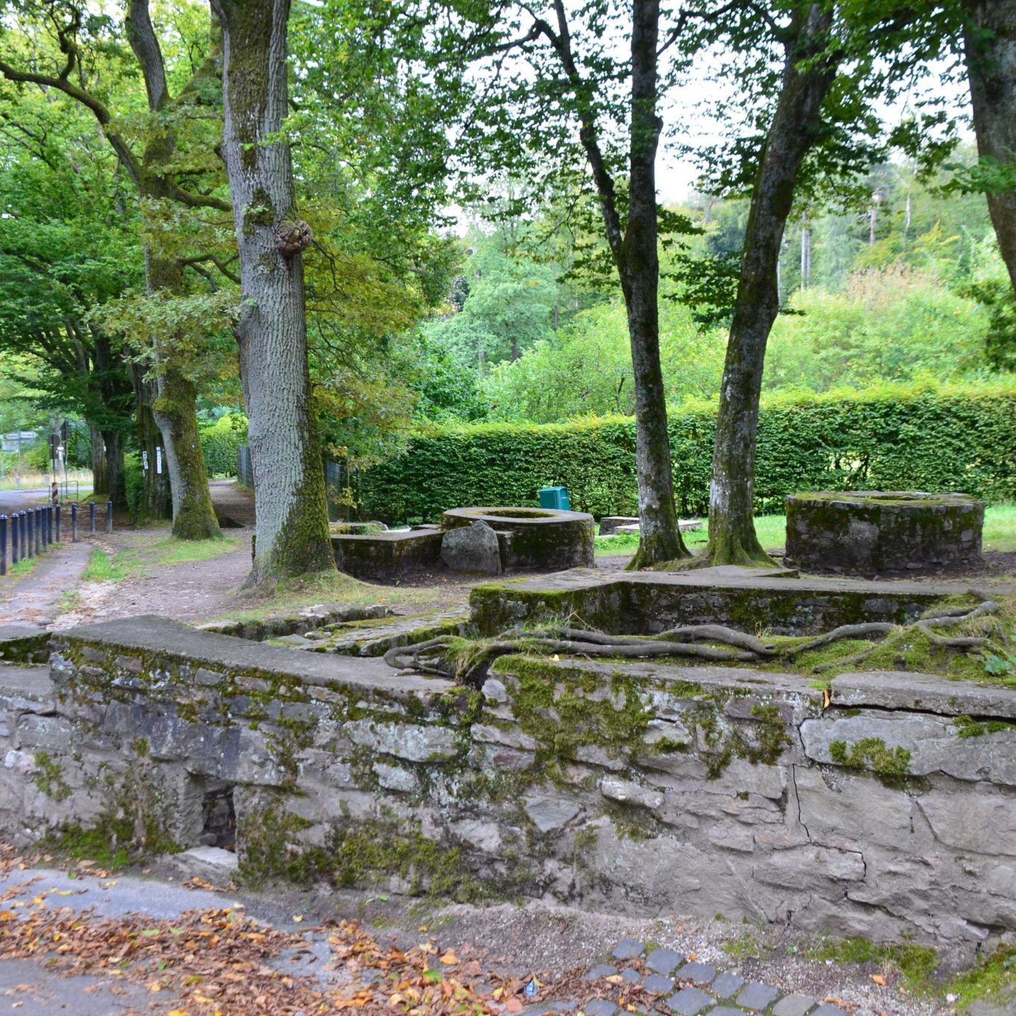
Mountain Hikes in Naturschutzgebiet Arnspitze
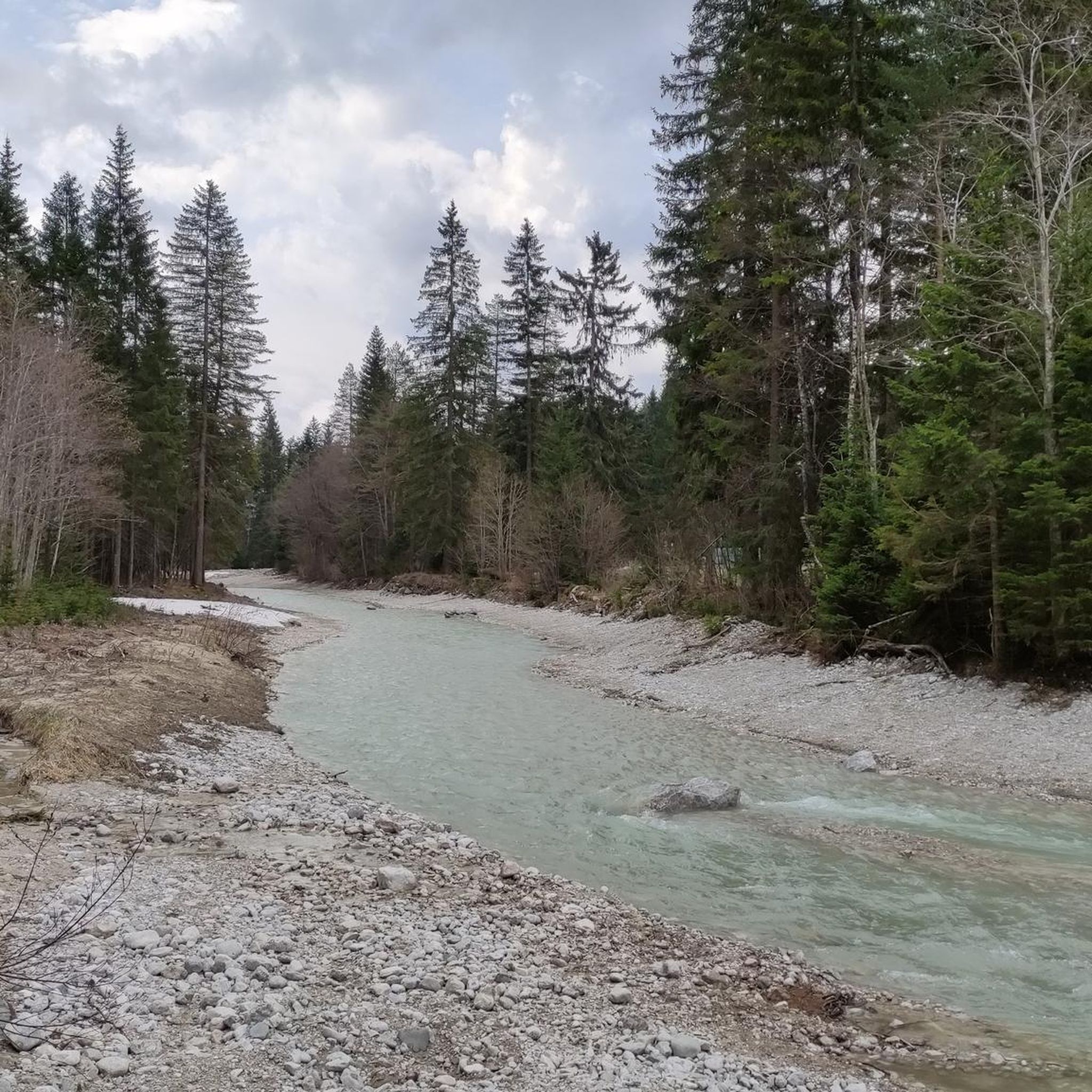
Running Trails in Naturschutzgebiet Arnspitze
Road Cycling Routes in Naturschutzgebiet Arnspitze
Other adventures in Naturschutzgebiet Arnspitze

Tips from the Community

One of the many fountains of the place
0
0

Covered with a thick layer of snow in winter
0
0

Here, you'll find easier routes than at the Great Wall of China across the street. There's a handy topo map available at the parking lot.
3
0
Easy to reach by bike, with plenty of space at the base of the wall and even a place to sit – it's actually the perfect climbing garden by fair means. The view of the Great Wall of China opposite is a bonus.
3
0

This is where the trout farm is located. There are many different species. You can fish here even without a fishing license. The lake shimmers in the most stunning colors, and you can see the fish clearly. On Mondays, trout are sold for consumption starting at 2 p.m.
0
0

Brilliant from every angle, the Hohe Munde.
0
0
Great location, perfect for a photo stop in front of the beautiful landscape.
0
0

Beautiful water meanders through the valley.
4
0
Frequently Asked Questions
How many mountain bike trails are available in Naturschutzgebiet Arnspitze?
Naturschutzgebiet Arnspitze offers a wide selection of mountain bike trails, with nearly 200 routes to explore. These range from easy paths through meadows to challenging alpine ascents, catering to various skill levels.
What kind of terrain can I expect when mountain biking in Naturschutzgebiet Arnspitze?
The terrain in Naturschutzgebiet Arnspitze is diverse, characterized by rugged peaks, varied forest ecosystems, and alpine landscapes. You'll find everything from spruce-fir forests to extensive mountain pine fields, offering a mix of forest roads, singletracks, and more demanding climbs.
Are there any easy mountain bike routes suitable for beginners or families?
Yes, there are over 50 easy mountain bike routes in the region. A good option for a more relaxed ride is the Source of the Isar – Isar Meadows Near Scharnitz loop from Scharnitz, which is 20.0 km long and leads through river meadows and forest paths. Another easy route is the View of Hohe Munde – Emmat Chalet and Mountain View loop from Naturschutzgebiet Arnspitze, which is 7.7 km.
What are some moderate mountain bike trails in the area?
For those seeking a moderate challenge, there are over 80 routes. The View of Hohe Munde – Weidachsee Fishing Pond loop from Naturschutzgebiet Arnspitze is a popular moderate route, spanning 32.9 km and offering views of Hohe Munde and passing by the Weidachsee Fishing Pond. Another option is the Flowy forest trail – Wettersteinhütte (closed) loop from Leutasch, a 25.0 km route.
Are there any challenging mountain bike routes for experienced riders?
Absolutely, Naturschutzgebiet Arnspitze features over 50 difficult mountain bike routes. A notable challenging option is the View of the Lautersee – Lake Ferchensee loop from Naturschutzgebiet Arnspitze. This difficult 51.9 km trail takes approximately 5 hours to complete and offers extensive views of alpine lakes and surrounding peaks, with significant elevation changes.
What kind of natural features and landmarks can I see along the mountain bike trails?
The region is rich in natural beauty and impressive landmarks. You can encounter rugged peaks like the Große Arnspitze and Arnplattenspitze, and diverse forest ecosystems. Notable points of interest include the High Saddle, Arnplatten Peak, and the Arnspitze Traverse. The area also features the Arnspitz Hut and the Leutasch Valley Climbing Crag.
What do other mountain bikers say about the trails in Naturschutzgebiet Arnspitze?
The mountain bike trails in Naturschutzgebiet Arnspitze are highly regarded by the komoot community, holding an average rating of 4.6 stars from over 6,300 reviews. Over 30,000 mountain bikers have explored the varied terrain, often praising the dramatic alpine landscapes and the diverse range of routes available for different skill levels.
Are there any circular mountain bike routes in Naturschutzgebiet Arnspitze?
Yes, many of the routes in Naturschutzgebiet Arnspitze are designed as loops, allowing you to start and end at the same point. Examples include the View of the Lautersee – Lake Ferchensee loop and the View of Hohe Munde – Weidachsee Fishing Pond loop.
What is the best season for mountain biking in Naturschutzgebiet Arnspitze?
The best season for mountain biking in Naturschutzgebiet Arnspitze is generally from late spring to early autumn. During these months, the weather is more stable, and trails are typically free of snow, allowing for optimal riding conditions. Always check local weather forecasts before heading out, especially for higher alpine routes.
Are there specific regulations for mountain biking within Naturschutzgebiet Arnspitze?
As a nature reserve, specific regulations apply to protect the environment. While mountain biking is a popular activity, it's important to stick to designated trails and forest roads. Public roads do not lead directly into the core protected area, but a very steep forest road from Ahrn to Hoher Sattel offers a challenging ascent. Always respect local signage and environmental guidelines to preserve the pristine landscape.
Is public transport available to access mountain bike trails in Naturschutzgebiet Arnspitze?
While direct public transport into the core protected area is limited, you can often reach nearby towns and villages like Scharnitz or Leutasch via public transport. From there, you can cycle to the trailheads. It's advisable to check local bus or train schedules for the most convenient access points to the region.
Where can I find parking for mountain biking in Naturschutzgebiet Arnspitze?
Parking is typically available in the villages surrounding Naturschutzgebiet Arnspitze, such as Scharnitz and Leutasch, which serve as common starting points for many routes. Look for designated parking areas for hikers and bikers, often near trailheads or information centers. Some routes may have specific parking recommendations at their starting points.
Most popular routes in Naturschutzgebiet Arnspitze
Most popular attractions in Naturschutzgebiet Arnspitze

Get inspired with the komoot mobile app


Explore more
Browse the best MTB trails in other regions.
