The best walks and hikes in Landkreis Hof
4.6
(17659)
62,358
hikers
2,999
hikes
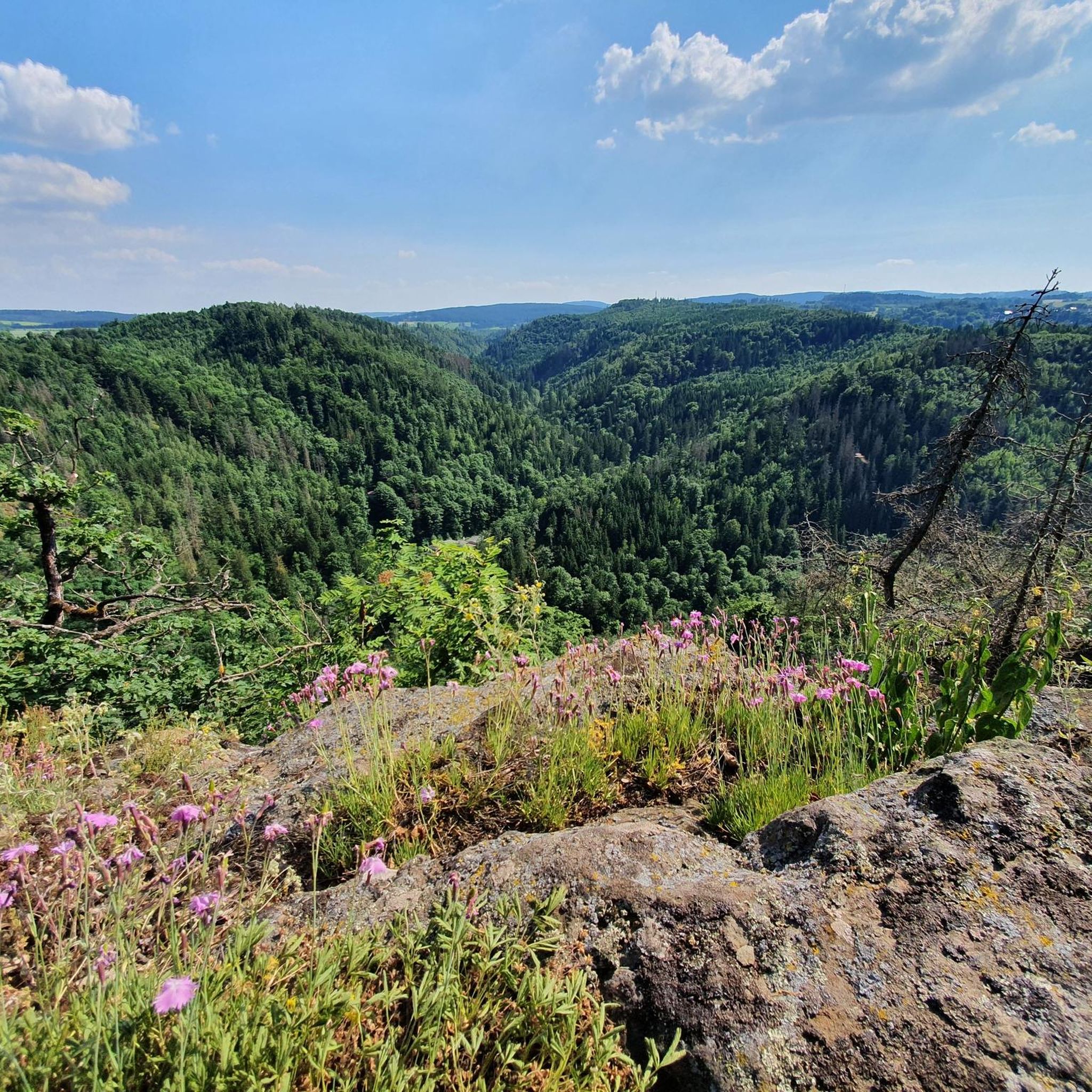
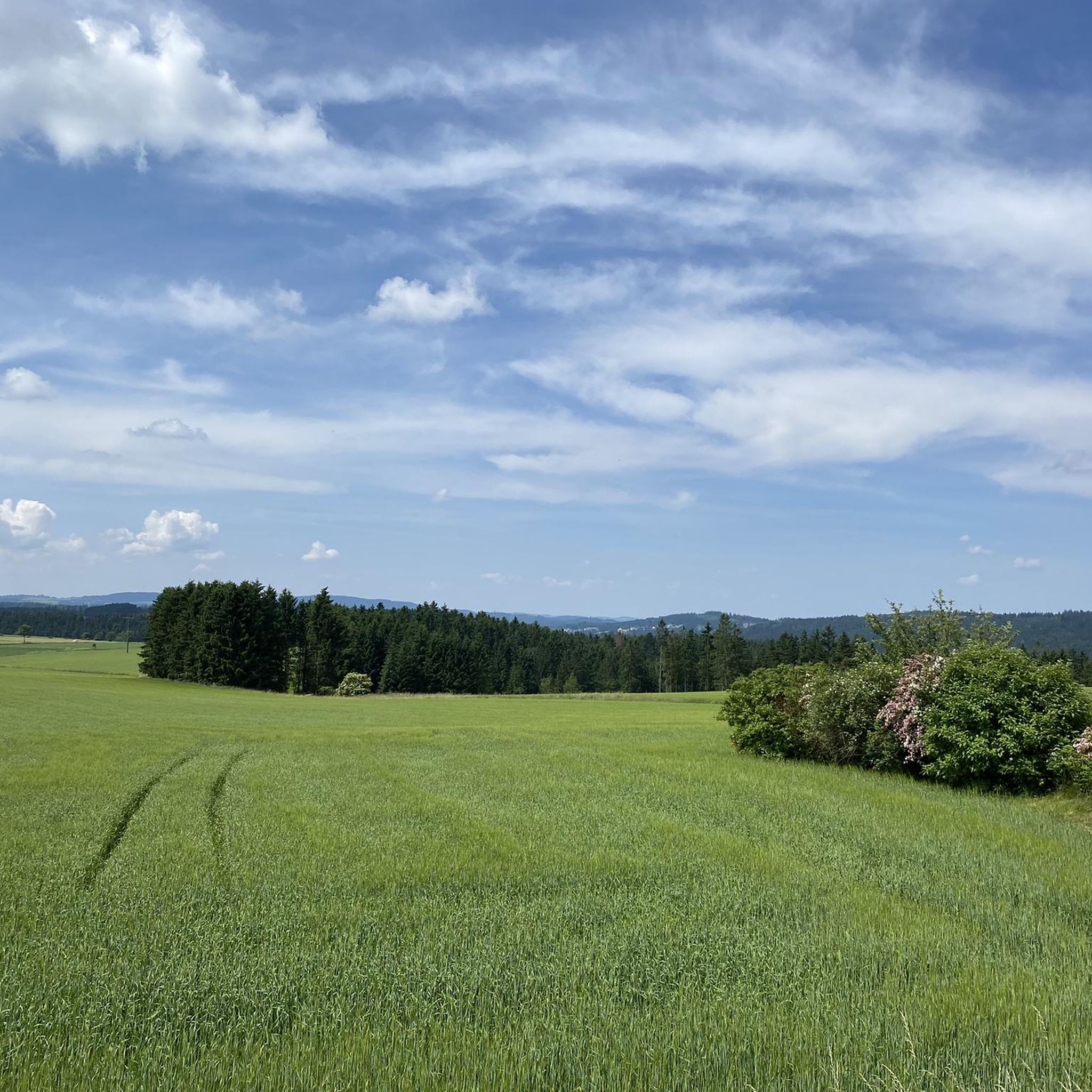
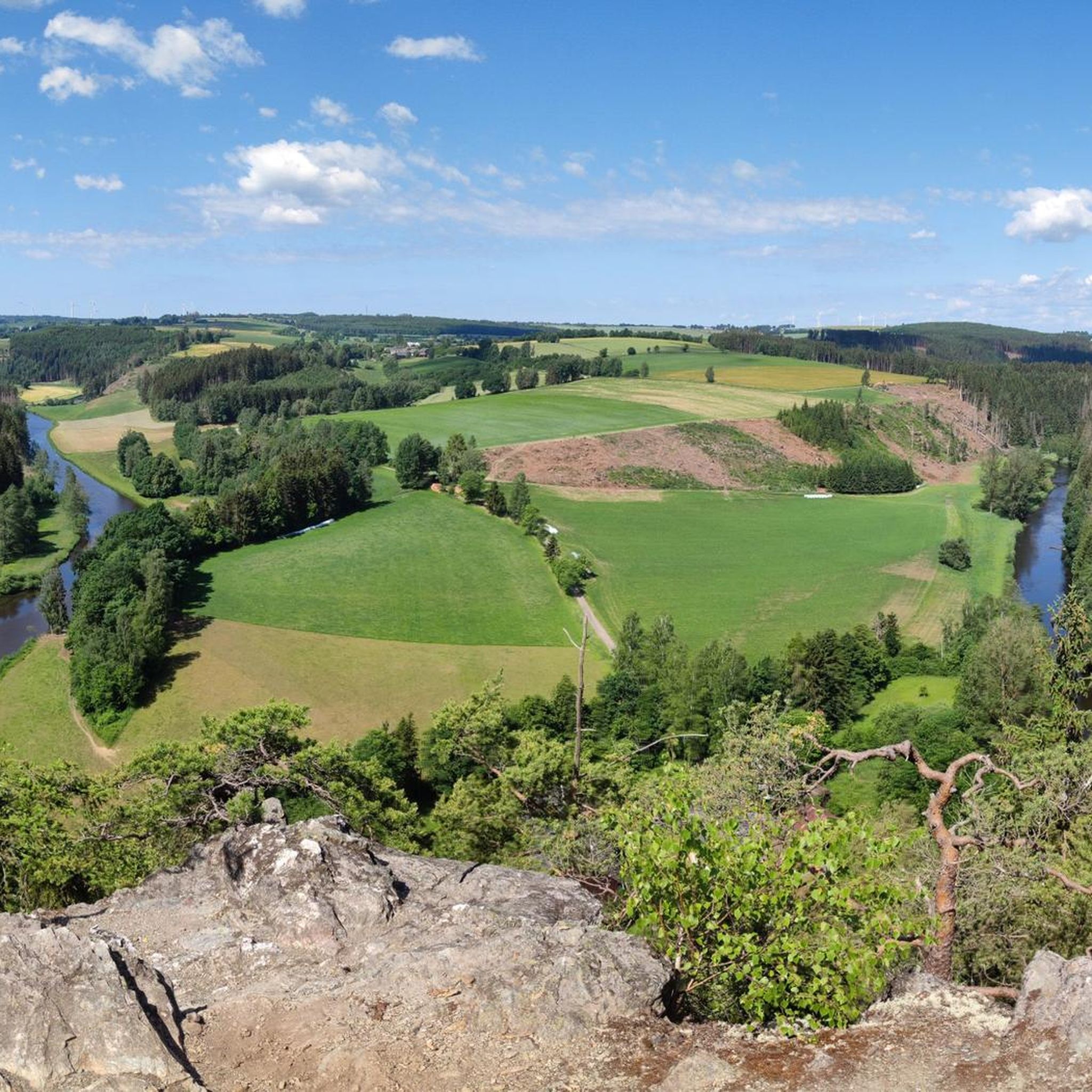
Hiking in Landkreis Hof offers a diverse landscape in northeastern Bavaria, Germany. The region features varied topography, including gentle hills, wooded mountain slopes, and granite peaks, encompassing parts of the Franconian Forest and the Fichtelgebirge mountains. Natural features like the wild Höllental Valley, traversed by the Selbitz River, and the Saale River contribute to the area's appeal. Hikers can explore a network of trails around lakes, through forests, and past rock formations.
Best hiking trails in Landkreis Hof
- The most popular hiking route is Between Heaven and Hell: The Rock Path, a 3.5 miles (5.6 km) trail that takes 1 hour 41 minutes to complete, featuring unique rock formations.
- Another top favourite among local hikers is View of Hirschsprung Rock – 👹 Höllental (Hell Valley) loop from Lichtenberg, a moderate 4.8 miles (7.7 km) path. This route explores the scenic Höllental Valley, following the Selbitz River.
- Local hikers also love the Seifengrund Trail, a 6.4 miles (10.3 km) trail leading through the Franconian Forest, often completed in about 2 hours 49 minutes.
- Hiking in Landkreis Hof is defined by the wooded slopes of the Franconian Forest, the granite peaks of the Fichtelgebirge mountains, and the river valleys of the Höllental and Saale. The extensive network offers options for various ability levels, from easy strolls to more challenging ascents.
- The routes in Landkreis Hof are highly rated by the komoot community with an average score of 4.6 stars from more than 15,000 reviews. More than 59,000 hikers have used komoot to explore Landkreis Hof's varied terrain.
Last updated: October 12, 2026
4.8
(184)
547
hikers
5.61km
01:41
110m
110m
Moderate hike. Great for any fitness level. Mostly accessible paths. Sure-footedness required.
4.9
(166)
384
hikers
6.38km
01:55
200m
200m
Easy hike. Great for any fitness level. Easily-accessible paths. Suitable for all skill levels.

4.7
(110)
382
hikers
10.3km
02:49
160m
160m
Moderate hike. Good fitness required. Easily-accessible paths. Suitable for all skill levels.
4.7
(42)
116
hikers
3.05km
00:50
50m
50m
Easy hike. Great for any fitness level. Easily-accessible paths. Suitable for all skill levels.
4.8
(859)
2,615
hikers
Moderate hike. Good fitness required. Easily-accessible paths. Suitable for all skill levels.
4.8
(53)
124
hikers
18.1km
05:25
500m
430m
Hard hike. Very good fitness required. Mostly accessible paths. Sure-footedness required.
4.5
(21)
90
hikers
9.26km
02:31
130m
130m
Moderate hike. Good fitness required. Easily-accessible paths. Suitable for all skill levels.
12.1km
03:15
220m
50m
Moderate hike. Good fitness required. Mostly accessible paths. Sure-footedness required.
4.6
(370)
1,082
hikers
Easy hike. Great for any fitness level. Easily-accessible paths. Suitable for all skill levels.
4.8
(179)
521
hikers
Moderate hike. Good fitness required. Mostly accessible paths. Sure-footedness required.
Get access to more routes and recommendations from other explorers.
Already have an account?
Our route recommendations are based on thousands of hikes, rides, and runs completed by other people on komoot.
Start today with a free account
Your next adventure awaits.
Popular around Landkreis Hof
Other adventures in Landkreis Hof


Tips from the Community

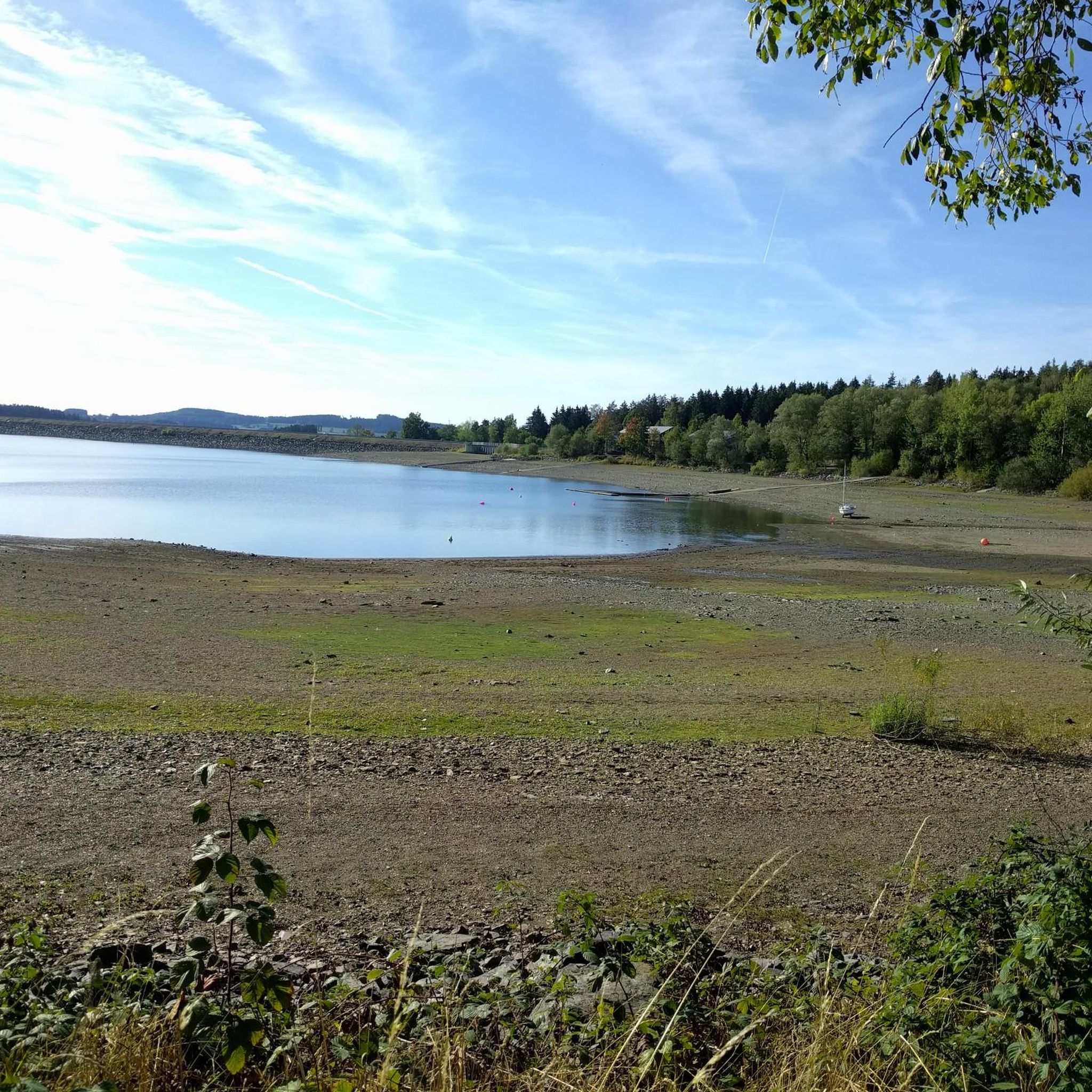
Here the beauty of the Förmitz dam comes into its own.
0
0

The shoe tree in Seifengrund is high and shoes hang from top to bottom. How did they get there? 🤔
1
0

Next to the stone there is an information panel about the stone
1
0

St. Lorenz Church in Lorenz Park at the end of the pedestrian zone is the oldest church in the city and, as the mother church of the region, of great historical significance. It was first documented in 1214, but is believed to have been built as early as 1080. Repeatedly rebuilt and renovated, the church today stands as a remarkable example of early 19th-century church architecture. The church's interior dates back to a comprehensive renovation in 1822 in the Neoclassical style. The pulpit altar, in the so-called Margravial style, also dates from this period. The most important works of art are a crucifix (circa 1500) and the valuable "Hertnid von Stein Altarpiece," a late Gothic Franconian winged altarpiece from between 1480 and 1486. It was named after its donor, Hertnid von Stein, Dean of Bamberg Cathedral and parish priest in Hof, and depicts, among other things, St. Lawrence, the patron saint of the church. St. Lorenz Church is an "open church." Dedicated volunteers offer guided tours of the church and tower throughout the year, run the church café, and host picnics and film screenings. The surrounding St. Lorenz Park was transformed into the "Lorenzo Oasis" as part of the church's 800th anniversary celebrations, a project undertaken jointly by the parish and the city of Hof. Foundations, sponsors, and local residents also contributed to the project. https://www.hof.de/leben-erleben/sehenswuerdigkeiten-in-hof/kirchen
3
1
Originally dedicated as a chapel to the Archangel Michael, the Holy Cross, and Mary Magdalene, St. Michael's Church in Hof was built around 1230, following the founding of the city and in connection with the expansion of the new town. In 1536, St. Michael's was chosen as the main Protestant church in the wake of the Reformation. Cannonballs embedded in the central chancel window and the north tower still serve as reminders of a siege lasting several weeks in 1553, during which the church was heavily bombarded. St. Michael's Church boasts a surprisingly spacious interior. For structural reasons, the Gothic net vaulting was replaced with a wooden structure after the great Hof city fire of 1823, which also destroyed large parts of the church. The organ, built by the Heidenreich brothers, is the largest surviving instrument of this family of organ builders, who have been based in Hof since 1782, and largely adheres to the design principles of Gottfried Silbermann. The Heidenreich organ is considered by experts to be one of the most beautiful-sounding in Bavaria and can be heard not only during church services but also at concerts and market devotions. The church is closed, but the key can be obtained from the deanery at Maxplatz 6. https://www.fichtelgebirge.bayern/detail/id=60925637b3b9c342377478eb
3
1

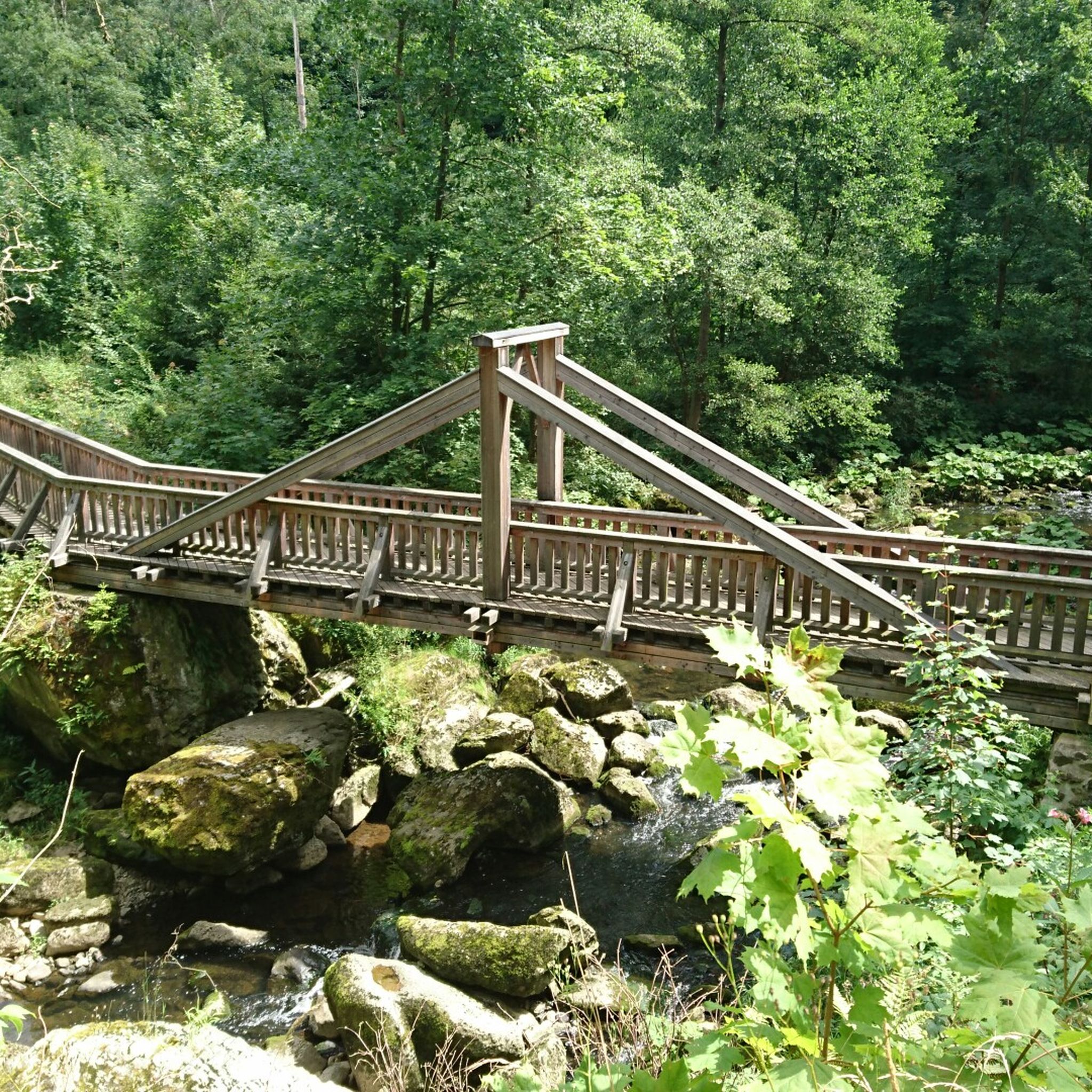
At the end of the path is a water tower connected to a pipe. You basically walk around on it. Here's the information board.
0
0
you walk along the rocky path: great wild hiking trail over hill and dale, lots of views, lots of rock
0
0
The stairs make the descent to the water tower less arduous
0
0
Frequently Asked Questions
How many hiking trails are available in Landkreis Hof?
Landkreis Hof offers an extensive network of over 3,000 hiking trails, catering to various skill levels and preferences. This includes more than 1,600 easy routes, over 1,300 moderate paths, and around 90 more challenging trails.
What are the general characteristics of hiking in Landkreis Hof?
Hiking in Landkreis Hof is defined by its diverse topography, encompassing parts of the Franconian Forest and the Fichtelgebirge mountains. You'll find everything from romantic river valleys and wooded mountain slopes to dramatic granite peaks and unique rock formations. The region is also traversed by the Saale River and features areas like the wild Höllental Valley.
What do other hikers say about the trails in Landkreis Hof?
The trails in Landkreis Hof are highly rated by the komoot community, with an average score of 4.6 stars from over 15,000 reviews. More than 59,000 hikers have used komoot to explore the varied terrain, often praising the well-maintained paths, diverse landscapes, and scenic viewpoints.
Are there easy or family-friendly hiking options in Landkreis Hof?
Yes, Landkreis Hof offers numerous easy and family-friendly hiking options. For a relaxing stroll, consider trails around the Forebay of the Förmitz Reservoir or the well-developed paths around the Untreusee recreation area near Hof. The historic Theresienstein Citizens' Park in Hof also provides a green oasis for leisurely walks.
Are there challenging hikes for experienced hikers in Landkreis Hof?
For experienced hikers seeking a challenge, Landkreis Hof offers routes with significant elevation changes, particularly in the Fichtelgebirge mountains. An example is the VGN Nature Park hike – mining and the devil in the Höllental, which covers over 18 km with considerable ascents, exploring the wild and romantic Höllental Valley.
Can I find hikes with unique rock formations in Landkreis Hof?
Absolutely. The Fichtelgebirge mountains, particularly around the Großer Waldstein, are known for their interesting weathering forms, including rock towers and blocks. A popular route that showcases these features is the Between Heaven and Hell: The Rock Path, which features unique rock formations. Another option is the Rondell Rock Formation – Devil's Table at Waldstein loop from Rotes Schloß.
Are there any scenic viewpoints along the hiking trails?
Landkreis Hof boasts several scenic viewpoints. The Großer Waldstein (877 m) in the Fichtelgebirge offers beautiful panoramic views. Within the city of Hof, the Theresienstein Citizens' Park features a labyrinth ruin with a 16-meter-high tower providing extensive vistas. Additionally, the View of the Höllental and Lichtenberg castle ruins provides a stunning perspective of the valley.
What natural attractions can I explore while hiking in Landkreis Hof?
Beyond the scenic landscapes, you can explore several natural attractions. The wild and romantic Höllental (Frankenwald Nature Park) is a designated nature reserve. The region also features fascinating caves, such as the Quarkloch Cave and the Dwarves' Cave. The Saale River and the Untreusee Lake also offer picturesque natural settings.
Are there options for circular walks in Landkreis Hof?
Yes, many trails in Landkreis Hof are designed as circular routes, allowing you to start and end at the same point. A popular example is the View of Hirschsprung Rock – 👹 Höllental (Hell Valley) loop from Lichtenberg, which explores the scenic Höllental Valley. Another is the Forebay of the Förmitz Reservoir – Förmitz Reservoir Beach loop from Hallerstein.
Are dogs allowed on hiking trails in Landkreis Hof?
Generally, dogs are welcome on hiking trails in Landkreis Hof, but it's always advisable to keep them on a leash, especially in nature reserves, agricultural areas, or near wildlife. Always carry water for your dog and clean up after them to ensure a pleasant experience for everyone.
What is the best time of year to go hiking in Landkreis Hof?
The best time for hiking in Landkreis Hof is typically from spring to autumn (April to October), when the weather is mild and the landscapes are vibrant. Spring brings blooming flowers, while autumn offers stunning fall foliage, particularly in the Franconian Forest and Fichtelgebirge. Winter hiking is also possible, especially on cleared paths, but requires appropriate gear and caution.
Are there long-distance hiking trails that pass through Landkreis Hof?
Yes, Landkreis Hof is part of several significant long-distance hiking trails. Sections of the famous Rennsteig trail offer breathtaking views of valleys and forests. The Franconian Mountain Trail (Fränkischer Gebirgsweg) also runs through the Fichtelgebirge, providing both challenging and leisurely sections. Additionally, the Green Belt (Grünes Band) follows the former inner-German border, offering impressive views and river-near sections around areas like Blankenstein and Hirschberg.
Can I find trails that are accessible by public transport?
Many trailheads in Landkreis Hof are accessible by public transport, particularly those near larger towns and villages. It's recommended to check local bus and train schedules in advance, as services might be less frequent in more remote areas. Planning your route with komoot can help identify starting points convenient for public transport.
Most popular routes in Landkreis Hof
Most popular attractions in Landkreis Hof

Get inspired with the komoot mobile app


Didn’t find what you were looking for?
Check out more Hikes throughout Landkreis Hof below and find the perfect route in your destination.
Explore more
Browse the best Hikes in other regions.
