The best hikes from bus stations in Landkreis Hof
4.6
(16603)
61,557
hikers
1,832
hikes
Bus station hiking trails in Landkreis Hof traverse a varied landscape in northeastern Bavaria, encompassing parts of the Franconian Forest and the Fichtelgebirge mountains. The region features gentle hills, dense wooded slopes, and granite formations. Rivers like the Selbitz and Saale carve through valleys, providing diverse terrain for outdoor activities.
Best bus station hiking trails in Landkreis Hof
- The most popular bus station hiking route is Seifengrund Trail, a 6.4 miles (10.3 km) trail that takes 2 hours 49…
Last updated: July 9, 2026
4.7
(102)
377
hikers
10.3km
02:49
160m
160m
Moderate hike. Good fitness required. Easily-accessible paths. Suitable for all skill levels.
4.9
(781)
2,570
hikers
Moderate hike. Good fitness required. Easily-accessible paths. Suitable for all skill levels.

Sign up for free
4.8
(176)
533
hikers
Moderate hike. Good fitness required. Mostly accessible paths. Sure-footedness required.
4.8
(174)
586
hikers
11.0km
03:04
190m
190m
Moderate hike. Good fitness required. Mostly accessible paths. Sure-footedness required.
4.7
(200)
671
hikers
Moderate hike. Good fitness required. Easily-accessible paths. Suitable for all skill levels.
Get access to more routes and recommendations from other explorers.
Sign up for free
Already have an account?
Our route recommendations are based on thousands of hikes, rides, and runs completed by other people on komoot.
Start today with a free account
Your next adventure awaits.
Login or Signup
Popular around Landkreis Hof
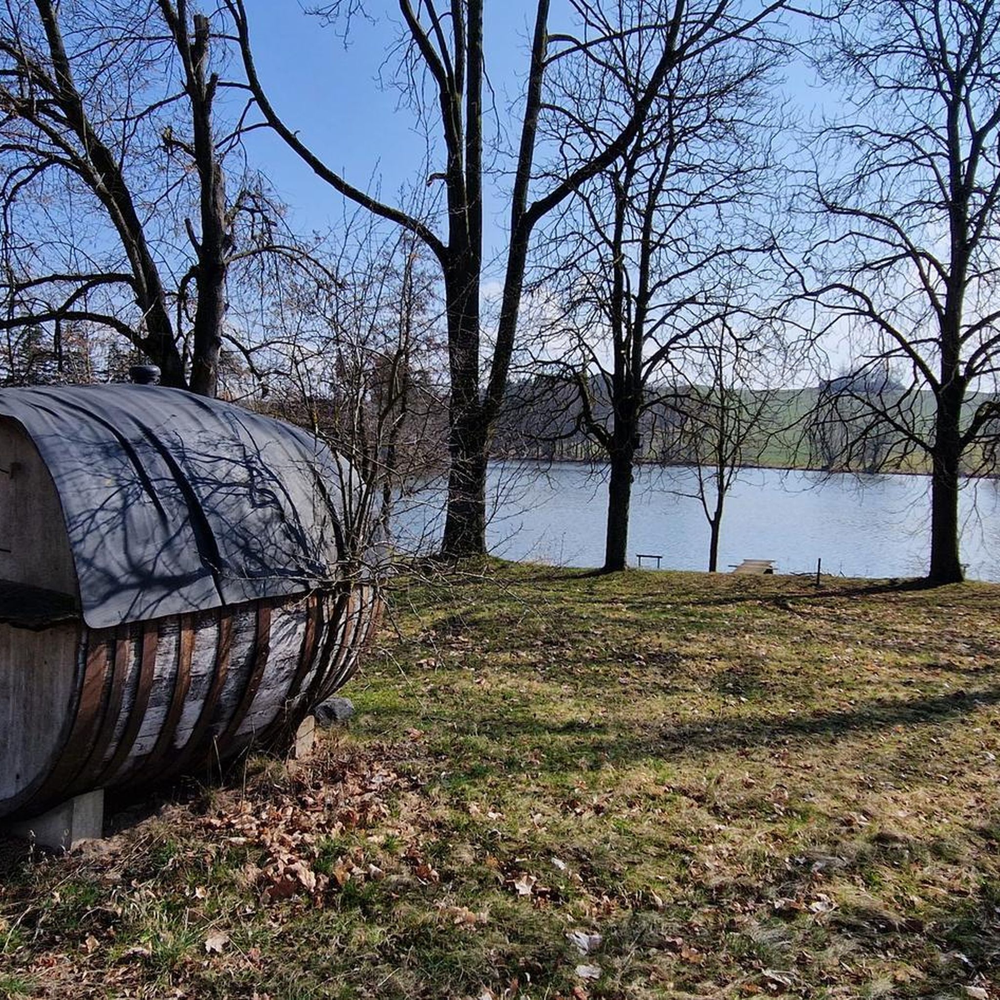
Hikes from bus stations around Bad Steben

Hikes from bus stations around Naila

Hikes from bus stations in Höllental
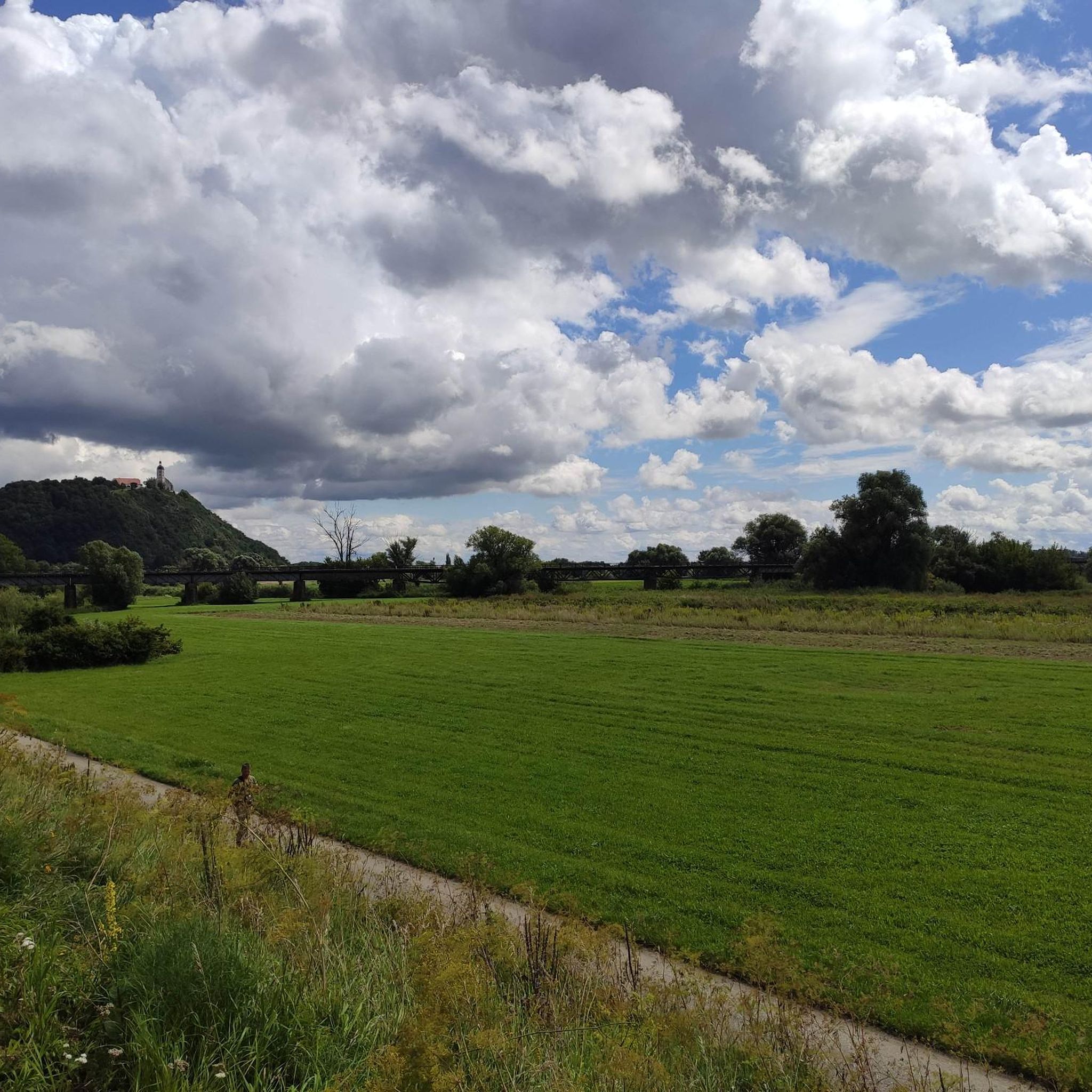
Hikes from bus stations around Rehau
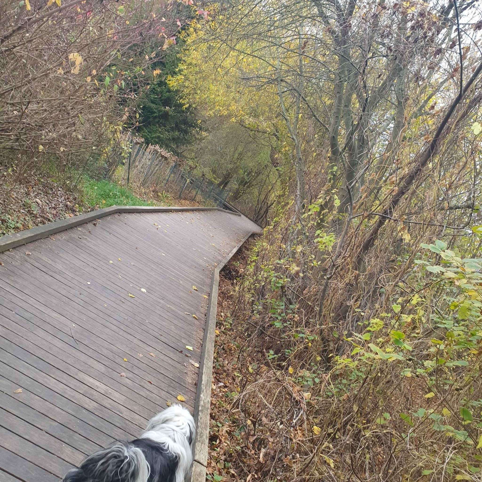
Hikes from bus stations around Helmbrechts

Hikes from bus stations in Rehauer Forst

Hikes from bus stations around Haidberg
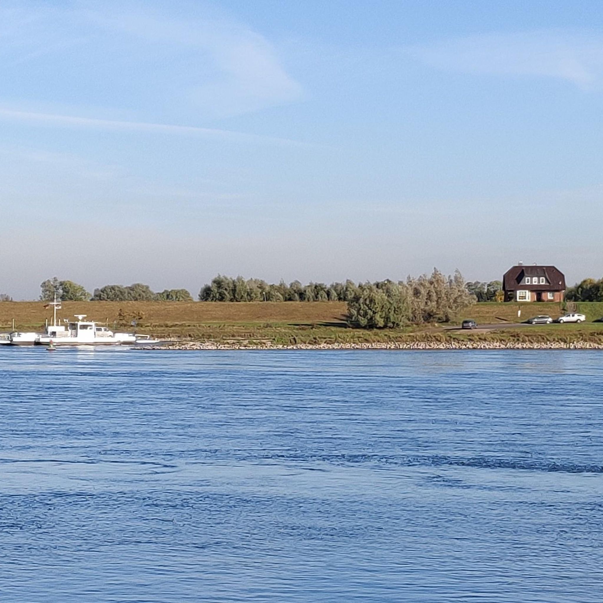
Hikes from bus stations in Rothleiten
Hikes from bus stations around Geroldsgrüner Forst
Hikes from bus stations around Untreusee
Other adventures in Landkreis Hof


Tips from the Community

The shoe tree in Seifengrund is high and shoes hang from top to bottom. How did they get there? 🤔
1
0

An almost very beautiful hike, except for one section directly along the Saale River. The path is very narrow and littered with fallen trees, forcing you to climb over or crawl under them. This is all over a distance of about 700-800 meters. It is, however, a regulated and signposted hiking trail. The responsible authorities should really address this before something happens. Absolutely avoid this trail if you have small children with you. Saalenstein Castle looked very interesting to us, but unfortunately, it was all closed. Overall, I would happily recommend the route. If you want to avoid the section with the fallen trees, you can simply return along the same well-paved path.
0
0

Beautiful guesthouse to stop at, whether by kayak, bike or on foot
0
0

The stairs make the descent to the water tower less arduous
0
0
The first beautiful and spectacular view over the valley. The bench provides a lovely place to linger.
0
0

A beautiful rest area with a magnificent view of the Höllental and the Lichtenberg castle ruins.
1
0

Even larger groups of hikers can take a break at the long benches and tables. A Kneipp arm pool is available for cooling off. There's also a sky lounger here, although it doesn't offer shade.
13
0
Here you can enjoy the tranquility with a view of the pond and the Frankenwarte tower. A bench is also available.
15
0
Frequently Asked Questions
How many bus station hiking trails are available in Landkreis Hof?
Landkreis Hof offers a vast network of over 1800 hiking trails accessible by bus, catering to various skill levels and interests. This ensures plenty of options for exploring the region's diverse landscapes without needing a car.
What kind of landscapes can I expect to see on bus-accessible hikes in Landkreis Hof?
The region boasts diverse landscapes, including the dense woodlands of the Franconian Forest and the granite formations of the Fichtelgebirge mountains. You can also explore picturesque river valleys like the Höllental along the Selbitz River, or follow trails along the Saale River. Many routes offer panoramic views from hills and observation points.
Are there any family-friendly hiking routes accessible by bus?
Yes, many trails are suitable for families. The Franconian Forest, for example, is known as a 'fairytale forest' and offers numerous gentle paths. For a more leisurely experience, consider routes around the Untreusee Lake near Hof, which provide developed trails perfect for shorter walks. While specific family-friendly routes from bus stops aren't listed, the region's overall offering includes many easy and moderate options.
Can I find circular hiking routes that start and end at a bus stop?
Yes, many of the bus-accessible trails in Landkreis Hof are designed as circular routes, allowing you to return to your starting point without retracing your steps. An example is the moderate View of Hirschsprung Rock – 👹 Höllental (Hell Valley) loop from Lichtenberg, which takes you through the scenic Höllental Valley.
What are some notable natural attractions or viewpoints accessible on these trails?
You can discover several natural highlights. The Höllental Valley itself is a wild and picturesque gorge. For impressive views, consider routes that lead to points like the König David Viewpoint, which you can experience on the König David Viewpoint – Teufelssteg — Across the Selbitz loop from Lichtenberg. The Fichtelgebirge mountains also offer panoramic vistas from peaks like Waldstein and Ochsenkopf.
Are there any trails that feature unique geological formations?
Yes, the region is known for its distinctive granite formations, particularly in the Fichtelgebirge. While not explicitly listed as bus-accessible, the popular "Between Heaven and Hell: The Rock Path" is designed to showcase these geological wonders. Look for routes in the Fichtelgebirge area for similar experiences.
What do other hikers say about the bus-accessible trails in Landkreis Hof?
The hiking community highly rates the trails in Landkreis Hof, with an average score of 4.6 out of 5 stars from over 15,000 ratings. Hikers often praise the well-maintained paths, the diverse natural beauty, and the peaceful atmosphere of the Franconian Forest and Fichtelgebirge.
Are there any long-distance hiking trails that can be accessed from bus stops?
Yes, sections of well-known long-distance trails like the Rennsteig and the Franconian Mountain Trail (Fränkischer Gebirgsweg) pass through Landkreis Hof. While these are extensive routes, you can often access specific sections from bus stops for day hikes, offering a taste of these iconic paths.
Are there any trails that follow rivers or offer waterside views?
Absolutely. The Selbitz River carves through the Höllental Valley, and trails like the View of Hirschsprung Rock – 👹 Höllental (Hell Valley) loop from Lichtenberg follow its course. Additionally, the Saale River features charming riverside sections, such as those found on the Fattigsmühle – Saale Riverside loop from Joditz.
What is the best season for hiking near bus stations in Landkreis Hof?
Spring and autumn are particularly recommended for hiking in Landkreis Hof due to pleasant temperatures and vibrant natural colors. Summer is also popular, though it can be warmer. The region's diverse forests offer beautiful scenery throughout these seasons.
Are there any challenging bus-accessible hikes for experienced hikers?
Yes, for those seeking a more demanding experience, there are difficult routes available. An example is the Langesbühl Observation Tower – Dürrenwaid Slate Heap loop from Franconian Forest, which covers nearly 20 km with significant elevation changes, offering a rewarding challenge.
Are there places to rest or find refreshments along bus-accessible trails?
Many trails in Landkreis Hof, especially in the Franconian Forest, are known for being a 'gourmet region' with opportunities for refreshments. You might find huts or restaurants along routes, such as the Kornberg House or the Hopperles Kohlstatt Shelter. Some areas also feature dedicated rest stops like the Rest area at the Hubertus Spring with barefoot path.
Can I bring my dog on bus-accessible hiking trails in Landkreis Hof?
Generally, dogs are welcome on most hiking trails in Landkreis Hof. It's always advisable to keep your dog on a leash, especially in nature reserves or areas with wildlife, and to be mindful of other hikers. Always check local regulations for specific trails or protected areas.
Most popular routes in Landkreis Hof
Most popular attractions in Landkreis Hof

Get inspired with the komoot mobile app


Didn’t find what you were looking for?
Check out more Hikes throughout Landkreis Hof below and find the perfect route in your destination.
Explore more
Browse the best Hikes in other regions.
