The best running trails in North Carolina
4.5
(169)
18,312
runners
1,888
runs
If you've ever tried to plan jogging in North Carolina, you know how overwhelming the options can be. With so many trails, greenways, and natural areas, it's tough to tell which routes are genuinely worth your time and which are just filler. That's where we come in. Our komoot community has explored, mapped, and reviewed thousands of routes across the state, and we've sifted through the noise to bring you a curated shortlist of the best jogging routes in North Carolina, saving you the guesswork.
North Carolina is a jogger's dream, stretching from the rugged Appalachian Mountains in the west, through the rolling hills and dense forests of the Piedmont, all the way to the unique coastal trails and sand dunes of the Outer Banks. This means you can find everything from challenging mountain ascents to tranquil forest paths and scenic lakeside loops. Whether you're looking for an easy morning run or a long-distance challenge, the state's extensive network of greenways and trails has something for every leg.
If you only do one, we'd start with the Al Buehler Trail, a local favorite offering a moderate 3.1 miles (5.1 km) with rolling hills and a natural surface – it's a classic for a reason. For a longer, more challenging experience, the difficult Cape Fear River Trail spans 13.9 miles (22.3 km) through diverse woodlands and wetlands. Ready to hit the trails? Let komoot guide your next run; more than 18,000 runners have already used our routes to explore this incredible state.
Last updated: May 10, 2026
5.0
(2)
162
runners
5.06km
00:34
50m
50m
The Al Buehler Trail offers a serene, tree-lined escape into nature, primarily consisting of hard-packed dirt and crushed gravel that's forgiving on your joints. You'll wind through heavily shaded woods, circling the Washington Duke Inn and Golf Course, passing by a tranquil pond and marsh areas, and crossing a charming footbridge over Sandy Creek. Keep an eye out for local wildlife, including various bird species, as you enjoy the peaceful surroundings.
This popular jogging loop is a moderate 3.1-mile (5.1 km) route with 173 feet (53 metres) of elevation gain, typically taking about 33 minutes to complete. While generally accessible, be aware that the trail can get muddy after significant rainfall, and some of the rolling hills, particularly near Cornwallis Road, can be quite strenuous. It's a great option for building endurance or enjoying a shaded walk, but remember there's no lighting, so plan your visit during daylight hours.
Named in honor of the renowned Duke and Olympic track and field coach Al Buehler, this trail is a local favorite for its measured course with quarter-mile and 1k markers, perfect for tracking progress. It also connects to the Sally Meyerhoff Fitness Loop, offering additional exercise stations. You'll find emergency call boxes and water fountains (some with doggie bowls) along the way, making it a well-equipped and dog-friendly option for your outdoor activity.
4.5
(2)
52
runners
22.3km
02:19
100m
100m
The Cape Fear River Trail offers a diverse jogging experience, blending wide paved paths with sections of packed dirt, gravel, and extensive wooden boardwalks through marshlands. You'll feel immersed in nature as you pass through woodlands, with interpretive signs highlighting the rich biodiversity of over 700 plant species and 150 bird species. While generally moderate, the northern half, particularly near the Jordan Soccer Complex, presents some "pretty decent ascents" for a more challenging workout, making this 13.9-mile (22.3 km) route with 325 feet (99 metres) of gain a varied run that takes about 2 hours and 18 minutes.
For planning your visit, you'll find restrooms at key access points like the Jordan Soccer Complex and Clark Park Nature Center, where parking is also available. The trail is open year-round, but an early morning or late afternoon jog is often best to avoid the midday heat, especially during warmer seasons. Remember to carry sufficient water, as some stretches are quite long, and security call boxes are intermittently placed for peace of mind.
This trail is a significant segment of the East Coast Greenway, connecting Maine to Key West, Florida, and is celebrated for its accessibility and unique structures like the covered bridge and over 1,000 feet of boardwalks. It also connects to Cross Creek Linear Park and offers access to 11 miles of mountain bike trails, making it a hub for various outdoor activities and a great way to explore the natural beauty of the Fayetteville area.

4.0
(1)
37
runners
3.55km
00:22
30m
30m
The Shelley Lake Trail offers a delightful escape into nature right in Raleigh, providing a scenic paved loop around the 53-acre Shelley Lake. As you jog, you'll enjoy continuous water views, often spotting geese, turtles, and fish, while the path meanders through a pleasant mix of shaded forested areas and open fields. Boardwalks add to the varied scenery, making it easy to forget you're in the city and providing a consistently engaging experience for runners.
This easy 2.2-mile (3.5 km) jogging route, with a minimal 91 feet (28 metres) of elevation gain, is typically completed in just 22 minutes, making it ideal for a quick workout or a relaxing outing. Parking is available at the park, and you'll find convenient amenities like restrooms and exercise stations along the way. The trail also connects to the broader Capital Area Greenway Trail System, allowing for longer runs if you wish to explore further.
Shelley Lake is a highly popular destination, known for its accessibility and family-friendly atmosphere, and is a favored spot for jogging in Raleigh. Beyond the trail itself, the park hosts the Sertoma Art Center and offers playgrounds and picnic areas, making it a great place for a full day out. The diverse wildlife, from waterfowl to fish, adds a peaceful, natural element to your run.
5.0
(1)
31
runners
9.00km
00:58
30m
30m
The Peninsula Trail offers a delightful jogging experience along the shores of Harris Lake in North Carolina, guiding you through a mix of longleaf pine and mixed oak/hickory hardwood forests. You'll encounter a natural bridge between White Oak Creek and Harris Lake, providing a scenic highlight as you move through varied tree cover. This route is perfect for those who appreciate a blend of lakeside views and woodland tranquility, with opportunities to observe local wildlife like deer or waterfowl.
Planning your visit to the Peninsula Trail is straightforward; it's generally accessible, though arriving earlier in the day is always a good strategy for popular trails to secure parking. The trail is dog-friendly, so your leashed companion can join you. With its moderate difficulty and relatively short duration, it's an excellent choice for a refreshing jog during most seasons, offering a quick escape into nature.
This 5.6-mile (9.0 km) jogging route, with a gentle 95 feet (29 metres) of elevation gain, can be completed in approximately 57 minutes. It's a moderate trail that stands out for its consistent lakeside scenery and diverse forest habitats, providing a peaceful environment for your workout. While you might catch a glimpse of the Harris Nuclear Plant from a viewpoint, the primary draw is the natural beauty and the chance to connect with the local ecosystem.
5.0
(2)
30
runners
10.4km
01:05
40m
40m
The Oklawaha Greenway provides a serene escape on a paved path, perfect for a leisurely jog or stroll through Hendersonville's natural beauty. As you move along the 10-foot-wide asphalt, you'll pass through diverse landscapes, from open meadows to shaded forests, often paralleling the gentle flow of Mud Creek. The trail's flat terrain and a unique boardwalk leading to an observation deck make it an engaging experience for all, offering glimpses of local wildlife and a variety of native plants.
Planning your visit is simple, with numerous parking areas providing easy access to the greenway. You'll find helpful amenities like water fountains and bicycle FixIt Stations along the route, ensuring a comfortable outing. While the trail is generally very accessible, it's wise to check for recent weather advisories, as some low-lying sections near Jackson Park can experience flooding after heavy rainfall. This makes it a great option for a casual jog any time of day, especially when you want to avoid more rugged trails.
Connecting five local parks, including Jackson Park and Patton Park, the Oklawaha Greenway serves as a vital community link and a hub for outdoor activity. It's particularly notable for its birdwatching opportunities, recognized by the Audubon Society, and the Born Learning Trail at the Berkeley Park end offers an interactive experience for younger visitors. This greenway is an excellent choice for family friendly jogging, providing a safe and scenic environment for all ages to enjoy.
25
runners
33.0km
03:25
170m
170m
The American Tobacco Trail offers a unique jogging experience, transitioning from the urban bustle of Durham to the tranquil, tree-lined expanses of rural North Carolina. You'll find yourself moving from paved asphalt in the north to softer crushed granite and stone surfaces further south, winding through dense pine forests, past open farm fields, and over charming old railroad bridges that span local creeks. The extensive tree canopy provides ample shade, and the chance to spot wildlife like herons and deer adds to the natural appeal of this smooth, well-maintained route.
This extensive multi-use rail-trail provides numerous access points and convenient parking facilities along its considerable length, making it easy to plan your run. You'll also appreciate the practical amenities such as water fountains and restrooms available at various points, ensuring a comfortable and well-supported outing. It's a fantastic option for long training runs or a leisurely jog, with its consistent, gentle profile.
Originally an old railroad corridor for the American Tobacco Company, this trail has been creatively repurposed into a vital recreational asset, spanning 20.5 miles (33.0 km) across three counties. Despite its official 'difficult' rating, the route features a modest 558 feet (170 metres) of elevation gain over an estimated 3 hours and 25 minutes, making it a popular destination for events like marathons due to its flat nature. It also forms a key part of the broader East Coast Greenway system, connecting communities and offering a significant network for outdoor enthusiasts.
2.5
(2)
41
runners
3.55km
00:22
20m
20m
The Apex Community Lake Trail offers a delightful and easy escape into nature, circling the picturesque 50-acre Apex Lake. This 2.2-mile (3.5 km) loop is mostly paved, providing a smooth surface for jogging, and features gentle inclines with only 65 feet (20 metres) of elevation gain. You'll pass through natural wooded areas, enjoy scenic lake views, and might even spot blue herons or turtles near the Fishing Dock, making it a serene experience that takes around 22 minutes.
Part of the larger Apex Community Park, this trail is highly accessible and multi-use, welcoming strollers, cyclists, and leashed dogs. While it's an excellent choice for beginner joggers or a quick, refreshing run, it can get busy during peak morning and early afternoon hours. The park also provides amenities like restrooms and picnic areas, making it convenient for a family outing.
What makes this trail a local gem is its blend of accessibility and natural beauty within an urban setting. It's a fantastic spot for wildlife spotting and offers a consistent, pleasant environment for exercise. The park's extensive facilities, including sports fields and playgrounds, mean you can easily combine your jog with other recreational activities, making it a versatile destination for all ages.
4.0
(1)
17
runners
9.06km
00:56
30m
30m
The Lake Crabtree Loop Trail offers a dynamic jogging experience, winding for 5.6 miles (9.1 km) around the lake with a gentle 95 feet (29 metres) of elevation gain, typically taking about 56 minutes to complete. You'll navigate a mix of surfaces, from unpaved dirt paths through woodlands to asphalt sections and a notable 730-foot concrete boardwalk that provides unique perspectives over the water. The route is rated moderate, balancing mostly flat stretches with some manageable hilly sections and varied terrain, making it engaging for many joggers.
When planning your visit, remember this is a multi-use trail, so you'll be sharing space with mountain bikers; stay alert and be courteous. The trail is well-equipped with amenities like water fountains and restrooms near observation decks, and it links up with other greenways, including the Black Creek and Crabtree Creek Greenways. Always check the trail's current status before heading out, as parts can be closed due to flooding or muddy conditions, especially after heavy rain.
Lake Crabtree County Park is a significant recreational hub, and this loop is a prime example of its offerings. As you jog, keep an eye out for local wildlife such as bald eagles and blue herons, particularly around scenic spots like the Heather Lee Carr Memorial Overlook. The varied terrain and continuous lake views provide a refreshing escape, making it a popular choice for those seeking a balanced workout in a natural setting.
5.0
(1)
21
runners
6.14km
00:38
50m
50m
The Greensboro Country Park loop via Auto Tour Road offers a refreshing jogging experience on mostly paved paths, winding through tranquil wooded areas and open green spaces. This moderate 3.8-mile (6.1 km) route features a gentle 154 feet (47 metres) of elevation gain, typically taking about 38 minutes to complete. You'll enjoy picturesque views of the park's two prominent fishing lakes, making it a scenic and accessible option for a quick workout or leisurely run.
Planning your visit is straightforward, with multiple parking lots available for easy access to the Greensboro Country Park jogging trails. The Auto Tour Road is specifically designated for pedestrians and cyclists, ensuring a safe and enjoyable experience away from traffic. It's a great spot for families, with amenities like dog parks and playgrounds, and generally suitable for all skill levels.
Beyond the jogging route, the park is integrated into the Battleground Parks District, offering a chance to explore historical monuments from the 1781 Battle of Guilford Courthouse. Its proximity to the Greensboro Science Center also provides additional attractions like an aquarium and animal exhibits, making the area a versatile destination for a full day out.
3.0
(1)
24
runners
5.13km
00:32
30m
40m
The North South Greenway Loop offers a refreshing escape into nature, even within an urban setting. You'll find yourself jogging on mostly paved, wide paths, often shaded by a dense tree canopy that creates a surprisingly quiet atmosphere. Keep an eye out for wildlife as you pass through areas like the Pearl Mill Nature Preserve, where deer, owls, and various birds are common sightings. This moderate 3.2-mile (5.1 km) route, with a gentle 110 feet (34 metres) of elevation gain, is perfect for a quick 31-minute jog.
Accessing the greenway is generally easy, with many trailheads offering parking. The route is designed with convenience in mind, featuring tunnels and pedestrian bridges to safely cross roads, ensuring a continuous and enjoyable experience away from traffic. With ample tree cover providing shade, it's a comfortable option for jogging throughout the day, though early mornings or late afternoons are ideal for cooler temperatures and fewer people.
This greenway is a vital recreational artery, connecting various parts of the community and providing a safe, off-road environment for exercise. Its design often incorporates environmental planning, making it a pleasant journey through diverse ecosystems, from creek-side paths along the South Ellerbee Creek Trail to dense woodlands. It's an excellent choice for beginner runners or families looking for an accessible and engaging outdoor activity.
Get access to more routes and recommendations from other explorers.
Already have an account?
Our route recommendations are based on thousands of hikes, rides, and runs completed by other people on komoot.
Start today with a free account
Your next adventure awaits.
Popular around North Carolina
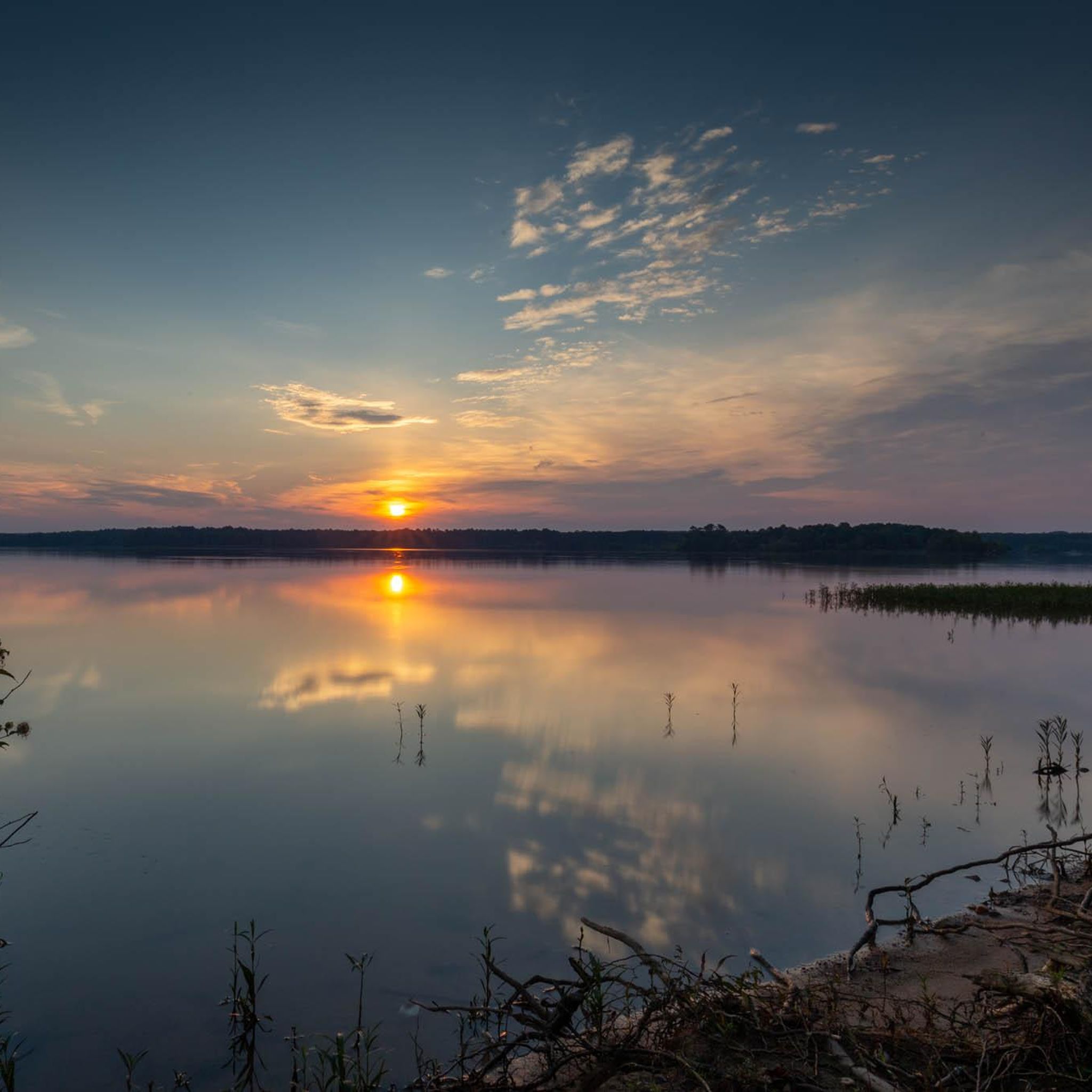
Running Trails in Durham County
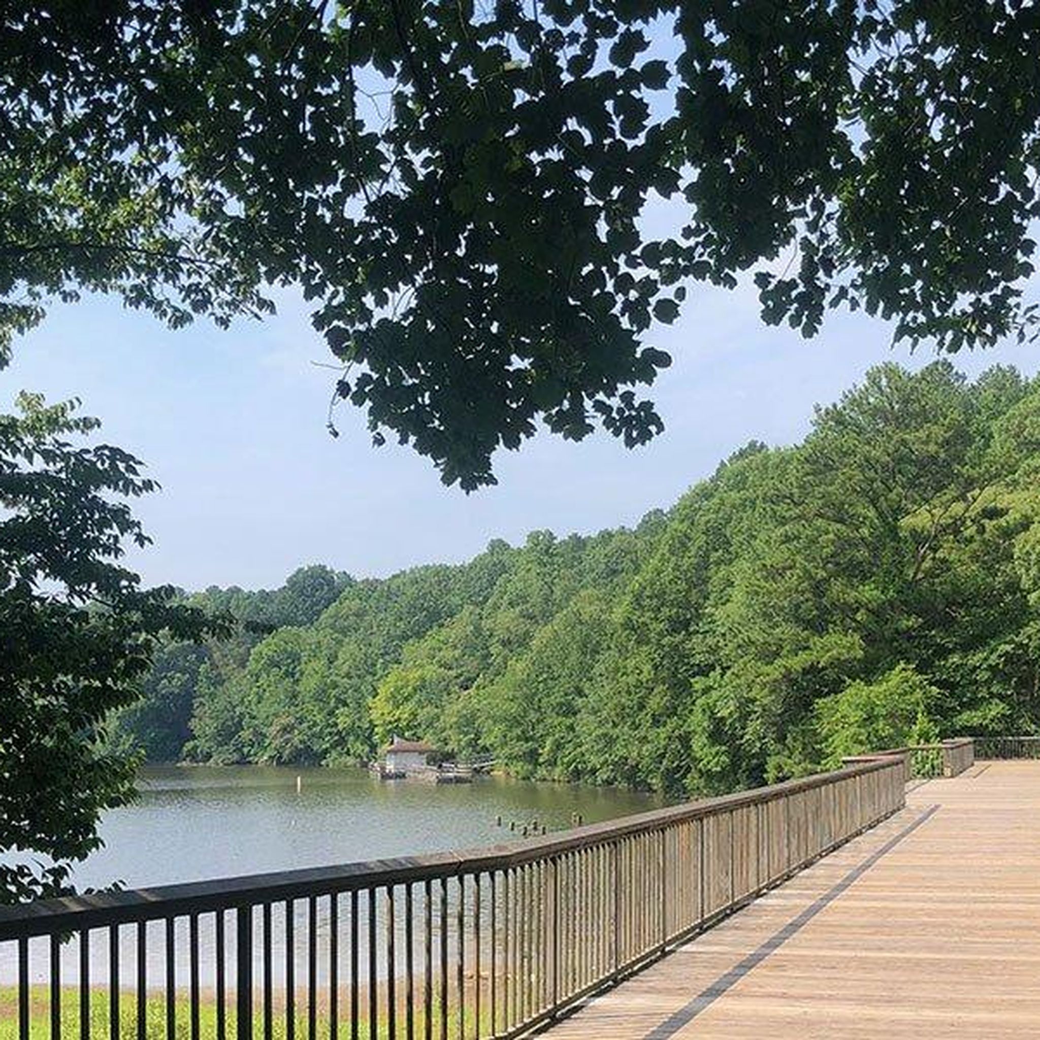
Running Trails in Wake County

Running Trails in Guilford County
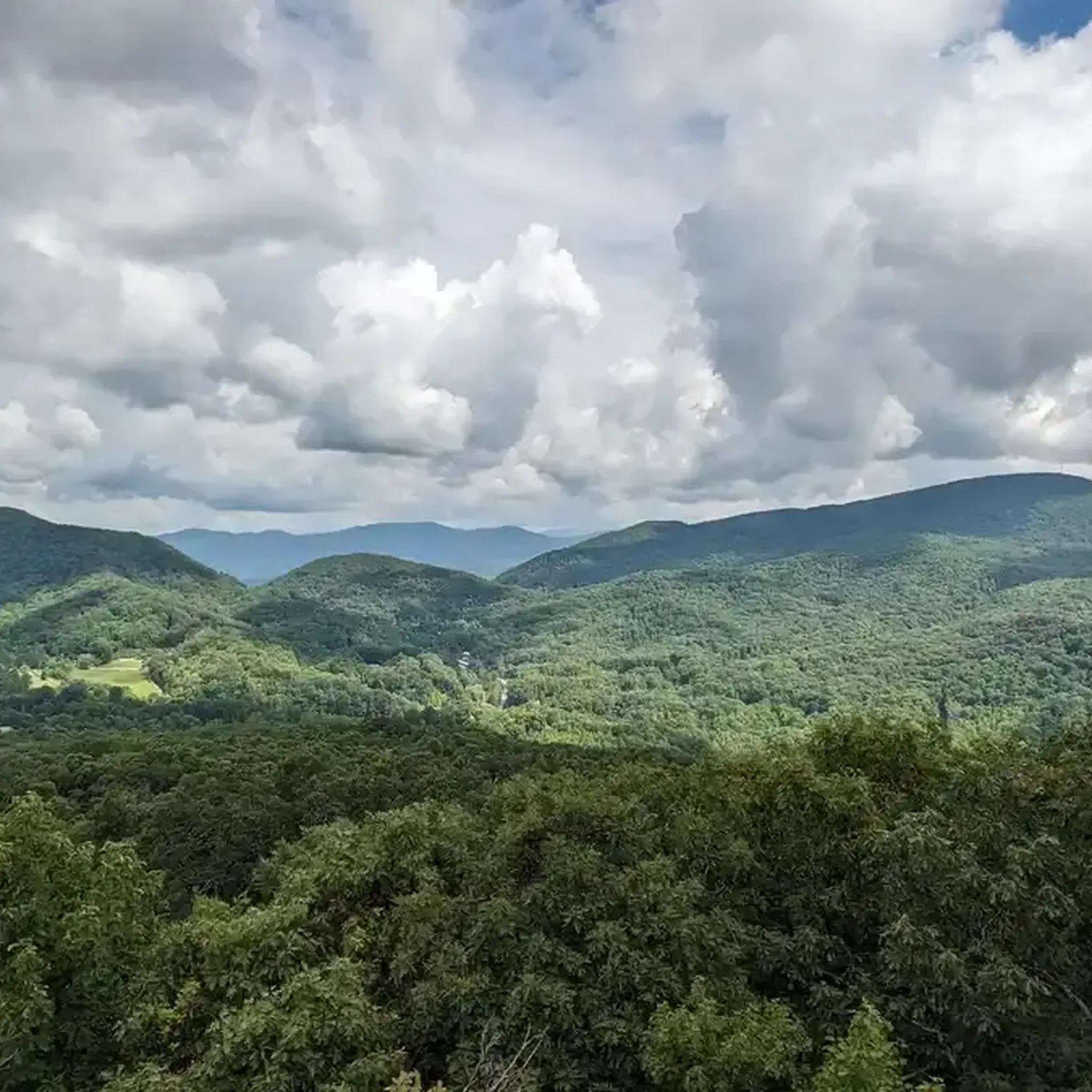
Running Trails in Henderson County
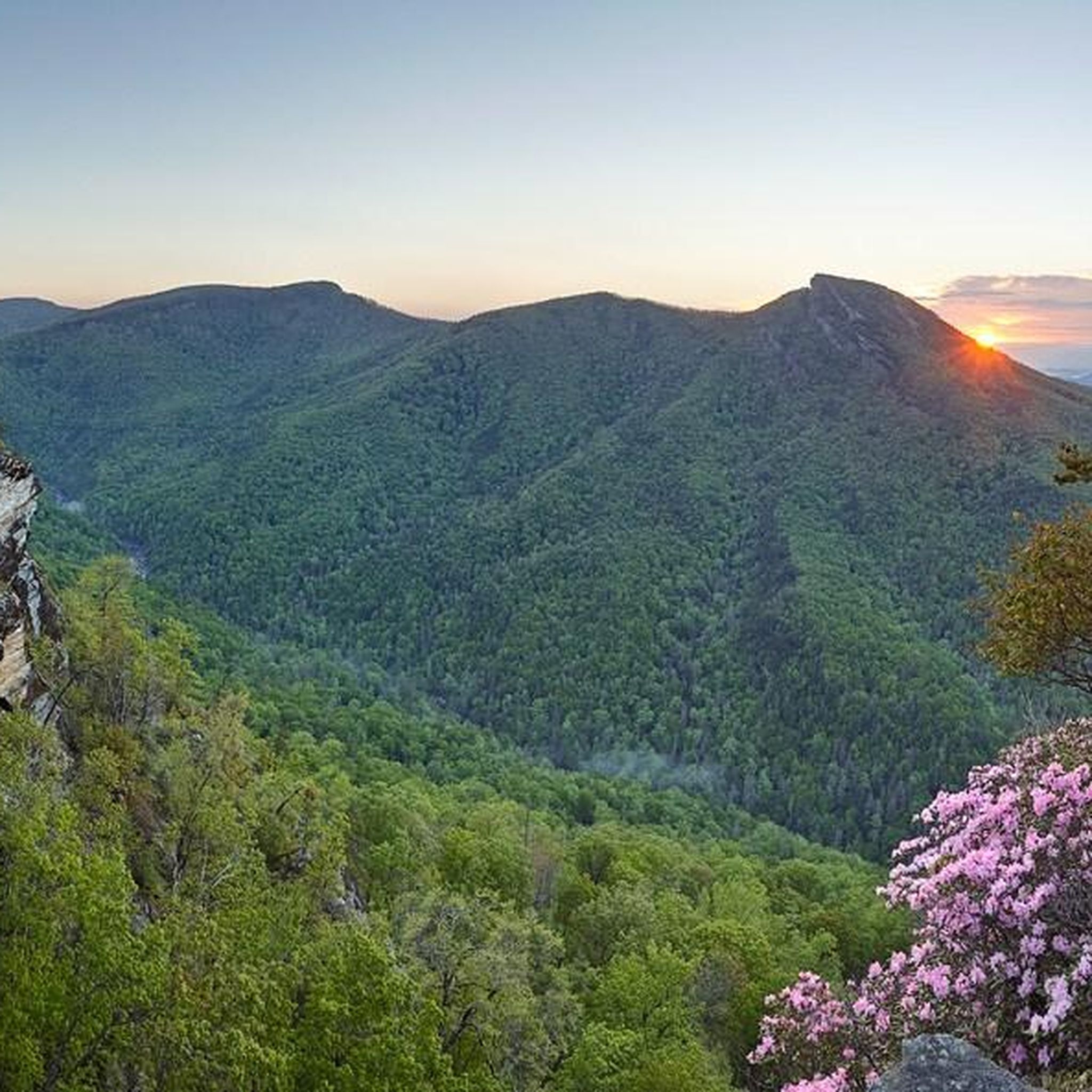
Running Trails in Burke County

Running Trails in National Forests In North Carolina
Running Trails in Granville County
Running Trails in Avery County
Running Trails in Cumberland County
Running Trails in Rutherford County
Other adventures in North Carolina


Tips from the Community

Apex Community Park is a beautiful 160-acre park. The centerpiece of the park is a large pond. There is also a running and cycling trail around the pond.
0
0

Along the 2.25-mile loop road you can explore Guilford Courthouse National Military Park. This paved path features eight tour stops, monuments, and access to interior trails. For safety, run on the left side, as bikes and cars travel one-way on the right. The pedestrian side is clearly marked.
0
0

Pearl Mill Nature Preserve is a wild oasis in the heart of Durham. The wide, multiuse trail is a great way to explore the area and look for wildlife.
0
0
This is a nice neighborhood park with all the essential amenities including a playground, tennis and basketball courts, and a picnic area. Also, the Rocky Creek and American Tobacco Trail intersect here so you can go for a good long walk from here as well.
0
0

Shelley Lake is the centerpiece of Shelly Lake park, a 145-acre urban park in north Raleigh, North Carolina, The park features a 2-mile paved trail encircling the lake for walking, jogging, and biking, and is part of Raleigh's extensive Capital Area Greenway system. Fishing is permitted from designated docks and the pedestrian bridge, with a valid fishing license, but bank fishing and personal watercraft are prohibited. The park is open daily from sunrise to sunset.
1
0
Along the 2.25-mile loop road you can explore Guilford Courthouse National Military Park. This paved path features eight tour stops, monuments, and access to interior trails. For safety, walk on the left side, as bikes and cars travel one-way on the right. The pedestrian side is clearly marked.
0
0

Nestled in a shady oasis of towering trees and tranquil waters, Raleigh's Shelley Lake offers cyclists, hikers, & runners an idyllic getaway from the city bustle.
0
0

The South Ellerbee Creek Trail is part of the East Coast Greenway, which is technically a 3,000 mile biking route from Main to Florida, but this short section is on its own path away from the road and makes for a great running trail. It's completely paved and plenty wide.
0
0
Frequently Asked Questions
How many running routes are available in North Carolina?
North Carolina offers a vast network of running trails, with over 1800 routes documented on komoot. These range from easy loops to challenging long-distance paths, catering to all fitness levels.
Are there easy or beginner-friendly jogging routes in North Carolina?
Yes, North Carolina has many easy routes perfect for beginners or a relaxed run. For instance, the Shelley Lake Trail is an easy 2.2-mile loop with scenic lakeside views. Another great option is the Apex Community Lake Trail, which is also an easy 2.2-mile path around a lake.
What are some scenic running routes with viewpoints or natural landmarks in North Carolina?
North Carolina boasts diverse scenic routes. In the mountains, you can find breathtaking vistas along sections of the Appalachian Trail or within the Great Smoky Mountains National Park. For specific landmarks, consider routes near Kuwohi Observation Tower or Mount Mitchell Summit. The Cape Fear River Trail also offers scenic views through diverse woodlands and wetlands.
Are there any running trails in North Carolina that feature waterfalls?
Yes, the mountainous regions of North Carolina are known for their beautiful waterfalls. While not directly on a featured komoot running route in this guide, you can explore trails in areas like DuPont State Recreational Forest, where you might find attractions such as Linville Falls Upper Falls, offering stunning natural beauty.
Can I find circular running routes in North Carolina?
Absolutely! Many running routes in North Carolina are designed as loops. The Al Buehler Trail is a popular 3.1-mile loop in Duke Forest. The Lake Crabtree Loop Trail is another moderate 5.6-mile option, and the North South Greenway Loop offers a 3.2-mile circular path.
What do other runners say about the jogging trails in North Carolina?
The running trails in North Carolina are highly regarded by the komoot community, with an average rating of 4.5 stars from over 190 reviews. Runners often praise the diverse landscapes, from quiet woodlands to well-maintained greenways, and the variety of terrain suitable for different experiences.
Are there long-distance running options in North Carolina?
For those seeking longer runs, North Carolina offers several excellent options. The Cape Fear River Trail is a challenging 13.9-mile route, and the American Tobacco Trail extends for over 20 miles, providing ample distance for endurance training or extended scenic runs.
Which areas in North Carolina are best for urban greenway running?
The Piedmont region, particularly around Raleigh and Charlotte, is excellent for urban greenway running. Raleigh boasts over 100 miles of interconnected greenways, including the Neuse River Greenway. Charlotte's Little Sugar Creek Greenway also provides wide, shady paths through urban parks.
Are there coastal running routes in North Carolina?
Yes, the Coastal Plain and Outer Banks offer unique running experiences. You can jog along sandy shores at places like Cape Hatteras National Seashore or explore maritime forests. Jockey's Ridge State Park features challenging runs over the East Coast's tallest sand dunes, providing impressive views.
What kind of terrain can I expect on North Carolina's running trails?
North Carolina's running trails offer a wide variety of terrain. In the mountains, expect challenging ascents, descents, and natural surfaces. The Piedmont region features rolling hills and a mix of paved and unpaved greenways. Along the coast, you'll find sandy beaches and maritime forest paths. Many trails, like the Al Buehler Trail, offer a soft, natural surface.
Are there any running routes near forests or natural preserves?
Many of North Carolina's running routes are nestled within natural settings. The Al Buehler Trail runs through Duke Forest, offering a serene, wooded experience. The Oklawaha Greenway winds through wetlands and forests, and the Cape Fear River Trail traverses diverse woodlands.
What are some popular running routes in the Raleigh area?
Raleigh is known for its extensive greenway system. Popular routes include the Neuse River Greenway, the Shelley Lake Trail, and the Company Mill Trail in Umstead State Park. The Lake Crabtree Loop Trail is also a local favorite.
Most popular routes in North Carolina
Most popular attractions in North Carolina

Get inspired with the komoot mobile app


Didn’t find what you were looking for?
Check out more Running Trails & Routes throughout North Carolina below and find the perfect route in your destination.
Explore more
Browse the best Running Trails & Routes in other regions.
