The best cycling routes in North Carolina
4.6
(1098)
11,005
riders
1,025
rides
Touring cycling in North Carolina offers diverse landscapes across its three distinct geographical regions: the Mountains, the Piedmont, and the Coastal Plain. The western part features the Appalachian Mountains with expansive forests and scenic byways. The central Piedmont region presents rolling hills and woodlands, while the eastern Coastal Plain provides barrier island beaches and flat, coastal routes. This varied topography ensures a wide range of terrain suitable for touring cyclists.
Best touring cycling routes in North Carolina
- The most popular touring cycling route is Kitty Hawk to Corolla Bike Trail, a 22.3 miles (35.9 km) trail that takes 2 hours 1 minute to complete. This route offers coastal scenery along North Carolina's barrier islands.
- Another top favourite among local touring cyclists is Little Sugar Creek Greenway: Huntingtowne Farms to South Boulevard, an easy 2.5 miles (4.1 km) path. This greenway trail provides a pleasant ride through urban parkland.
- Local touring cyclists also love the Cherohala Skyway, a 54.8 miles (88.2 km) trail leading through the Appalachian Mountains, often completed in about 6 hours 36 minutes.
- Touring cycling in North Carolina is defined by the rugged Appalachian Mountains, rolling hills of the Piedmont, and flat coastal routes along barrier islands. The extensive network offers options for various ability levels, from easy greenways to challenging mountain ascents.
- The routes in North Carolina are highly rated by the komoot community with an average score of 4.6 stars from over 900 reviews. More than 10,000 touring cyclists have used komoot to explore North Carolina's varied terrain.
Last updated: October 7, 2026
1
riders
35.9km
02:01
40m
50m
The Kitty Hawk to Corolla Bike Trail offers a delightful coastal cycling experience, winding through the northern Outer Banks. You'll enjoy open stretches with potential glimpses of the Currituck Sound and pass by the Pine Island Audubon Sanctuary, providing a natural backdrop to your ride. It's a straightforward route, ideal for those seeking a relaxed pedal rather than a challenging workout.
This moderate touring cycling route covers 22.3 miles (35.9 km) with a minimal 146 feet (45 metres) of elevation gain, making it accessible for most riders. Expect to spend around 2 hours and 1 minutes on the trail. For the most comfortable experience, plan your visit during the spring or fall to avoid the intense summer heat and larger crowds.
This trail is a fantastic way to explore the unique coastal environment of the Outer Banks at a leisurely pace. While specific parking details aren't provided, numerous access points exist along the route in both Kitty Hawk and Corolla, allowing you to tailor your starting point. It's a great option for families or anyone looking for a scenic, low-impact ride.
88.2km
06:36
1,680m
2,760m
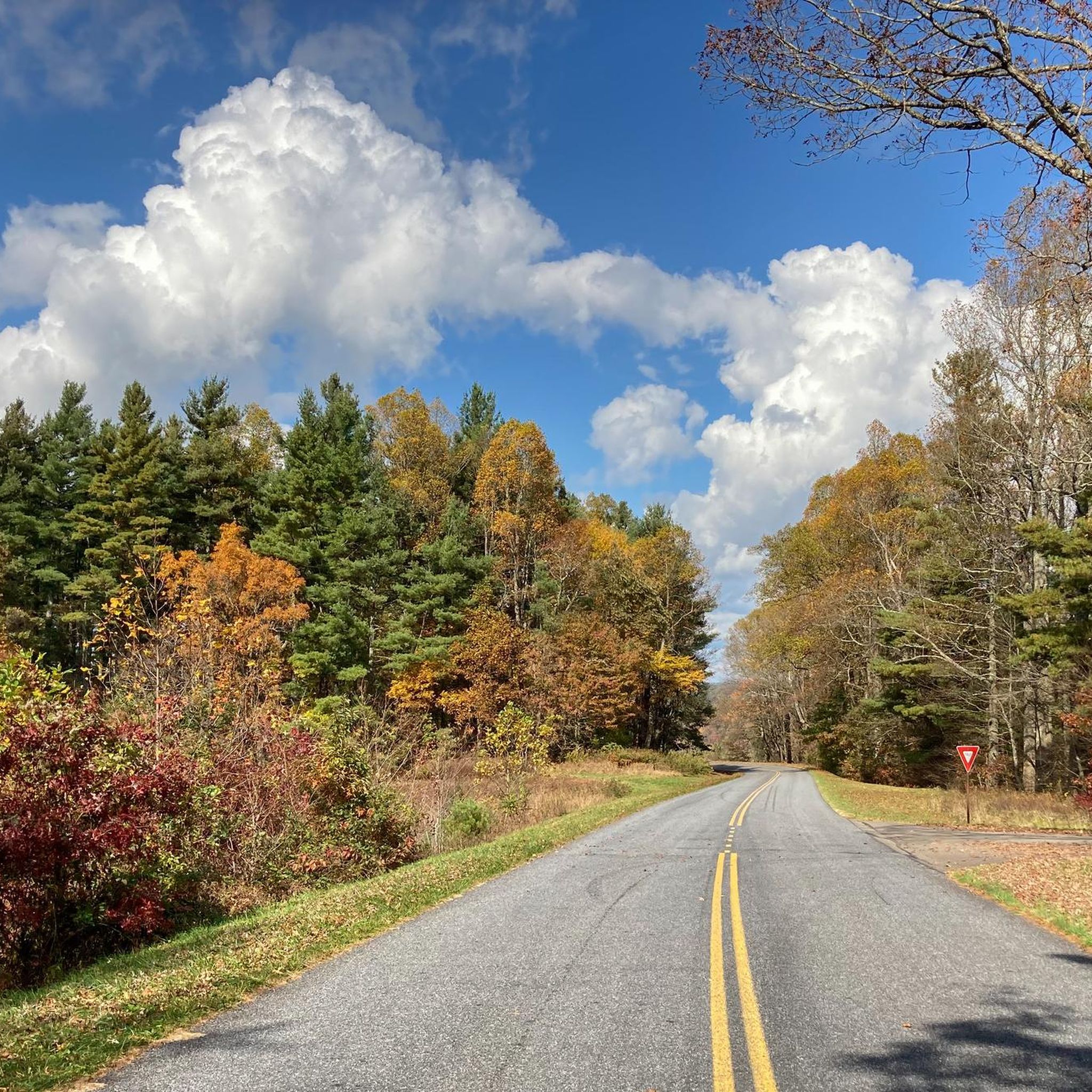
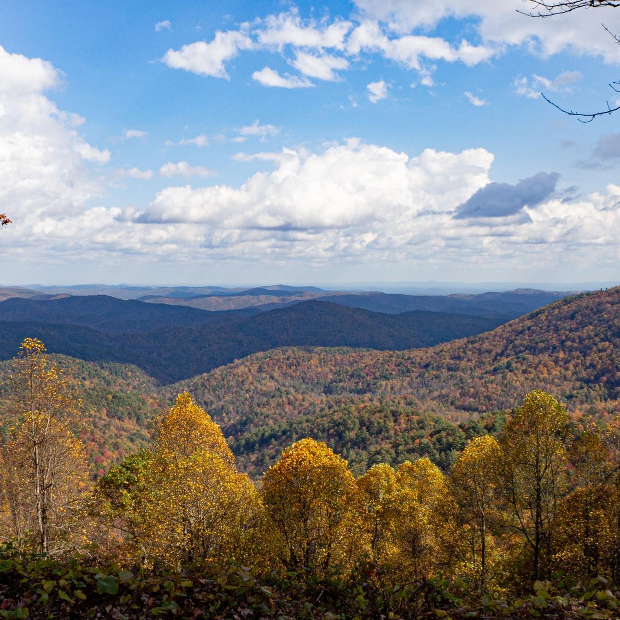
The Cherohala Skyway offers a touring cycling experience unlike any other, immersing you in the vast wilderness of the Cherokee and Nantahala National Forests. As you climb, the scenery unfolds with expansive mountain views, earning its nickname 'a drive among the clouds.' You'll encounter landmarks like Rattlesnake Rock and enjoy long sight lines and flowing curves on the well-maintained, two-lane paved road.
This is a difficult route, covering 54.8 miles (88.2 km) with a substantial 5497 feet (1675 metres) of elevation gain, typically taking around 6 hours and 35 minutes. Be prepared for sustained climbs with grades reaching up to 10% in sections. There are no services or commercial developments along the Skyway, so you must be self-sufficient with all your supplies.
Known for its relatively light traffic, especially on weekdays, the Cherohala Skyway provides an uninterrupted riding experience. It's a favorite among experienced cyclists and consistently ranks as a top motorcycle ride in North America, celebrated for its breathtaking seasonal transformations from vibrant spring wildflowers to legendary fall foliage.

The Little Sugar Creek Greenway: Huntingtowne Farms to South Boulevard offers a delightful, easy touring cycling route, perfect for a quick escape into nature within the city. This 2.5-mile (4.1 km) paved path follows the gentle meanders of Little Sugar Creek, providing an urban oasis experience with a mix of natural riparian scenery and glimpses of Charlotte's residential areas. With only 26 feet (8 metres) of elevation gain, it's a consistently flat and smooth ride, ideal for a leisurely 13-minute spin.
Planning your visit is straightforward for this accessible greenway. You can easily find parking access near the Huntingtowne Farms Park, which serves as a convenient starting point. The trail is suitable for cycling year-round, and its paved surface means you won't encounter any challenging terrain or special conditions, making it a great choice for family friendly cycling or a relaxed outing.
This segment is part of the larger Little Sugar Creek Greenway network, a significant effort to connect different parts of Charlotte through active transportation. The continuous paved surface and easy accessibility are key features, promoting outdoor recreation and offering a pleasant blend of natural beauty and cityscapes for touring cyclists of all levels.
4.0
(6)
109
riders
35.8km
03:11
320m
320m
The Lake Crabtree gravel loop offers a refreshing escape into nature, circling the scenic Lake Crabtree on well-maintained paths. You'll experience a mix of open waterfront views and peaceful, tree-lined sections, particularly along the Cedar Ridge Trail. This route provides a good challenge for touring cyclists, covering 22.2 miles (35.8 km) with 1050 feet (320 metres) of elevation gain, making it a moderate ride that typically takes about 3 hours and 11 minutes.
For those planning a visit, the Lake Crabtree gravel loop parking and trailhead access is convenient, with several parking areas within Lake Crabtree County Park. To enjoy the best conditions and avoid crowds, consider cycling in the early morning or late afternoon, especially during warmer months. Spring and fall offer the most comfortable temperatures for this kind of gravel touring.
This popular route stands out as one of the best gravel touring routes in the Raleigh area, providing a substantial ride without requiring a long drive out of the city. It's a fantastic option for cyclists looking for a consistent workout and a chance to enjoy the outdoors, making it a favorite among local gravel cycling enthusiasts.
4.9
(7)
82
riders
21.0km
01:17
130m
130m
The French Broad River Greenway offers a delightful, easy touring cycling experience along one of the world's oldest rivers. You'll glide along a smooth, paved surface, enjoying pleasant river views, shaded sections, and open grassy meadows, with the chance to see art installations in the vibrant River Arts District. This 13.0 miles (21.0 km) route, with a minimal 426 feet (130 metres) of elevation gain, is perfect for a relaxed ride, taking about 1 hour and 16 minutes.
Planning your visit requires a quick check of local conditions, as a section within French Broad River Park is currently closed due to storm damage, preventing a continuous loop. However, the operational sections still offer significant distances for out-and-back rides, connecting parks like Carrier Park and Hominy Creek River Park, which provide amenities and easy access. It's an ideal choice for those seeking a flat, accessible route in an area known for its challenging hilly terrain.
Beyond just cycling, the greenway area is a popular hub for various recreational activities, including kayaking, canoeing, and stand-up paddleboarding on the French Broad River. Its unique position as a relatively flat, easy route in Asheville makes it a local favorite, offering a blend of natural beauty, urban connectivity, and cultural touches that set it apart from other Asheville NC cycling routes.
3.2
(11)
61
riders
85.9km
05:11
410m
410m
The East Coast Greenway (NC) offers a substantial touring cycling adventure, guiding you through a diverse North Carolina landscape. You'll experience a mix of developed greenways and natural areas, including a significant stretch along the popular American Tobacco Trail. This route provides a unique perspective on the region, blending urban convenience with tranquil natural settings, making it a rewarding ride for those seeking a long-distance challenge.
This difficult 53.4-mile (85.9 km) route, with 1335 feet (407 metres) of elevation gain, is estimated to take about 5 hours and 11 minutes to complete. Access points are available along the route, with facilities like Fred G. Bond Metro Park offering potential starting or resting spots. Given its length, it's wise to plan your hydration and nutrition carefully, and consider cycling during temperate seasons for the most comfortable experience.
This segment is a vital part of the larger East Coast Greenway network, showcasing North Carolina's commitment to interconnected cycling paths. It links various communities and natural features, such as the White Oak Creek Wetlands, providing both recreational opportunities and a glimpse into local ecosystems. The route's integration with existing greenways like the American Tobacco Trail highlights its importance as a regional cycling artery.
4.7
(34)
81
riders
26.9km
01:38
150m
150m
The Salem Lake and Creek Greenway Loop offers a delightful touring cycling experience, connecting three distinct greenways into one cohesive route. You'll pedal along the Waughtown Connector Greenway, transition to the Salem Creek Greenway, and then enjoy the serene Salem Lake Trail, which provides pleasant views of the water. The smooth, paved surfaces make this an ideal choice for a relaxed ride, perfect for families or those new to cycling.
Planning your visit is straightforward, with parking typically available at various access points along the Salem Lake Greenway and Salem Creek Greenway. This easy 16.7-mile (26.9 km) loop, with its modest 482 feet (147 metres) of elevation gain, can be completed in about 1 hour and 38 minutes. It's a fantastic option for a leisurely outing, especially during the milder seasons of spring and autumn.
This route stands out as one of the best touring cycling routes in Winston-Salem for its accessibility and gentle nature. It's a family-friendly and dog-friendly option, providing a safe and enjoyable environment for everyone. The connection between the Salem Lake Greenway and Salem Creek Greenway creates a continuous path, allowing you to immerse yourself in the natural features surrounding Salem Lake without significant effort.
4.9
(15)
62
riders
11.5km
00:44
50m
50m
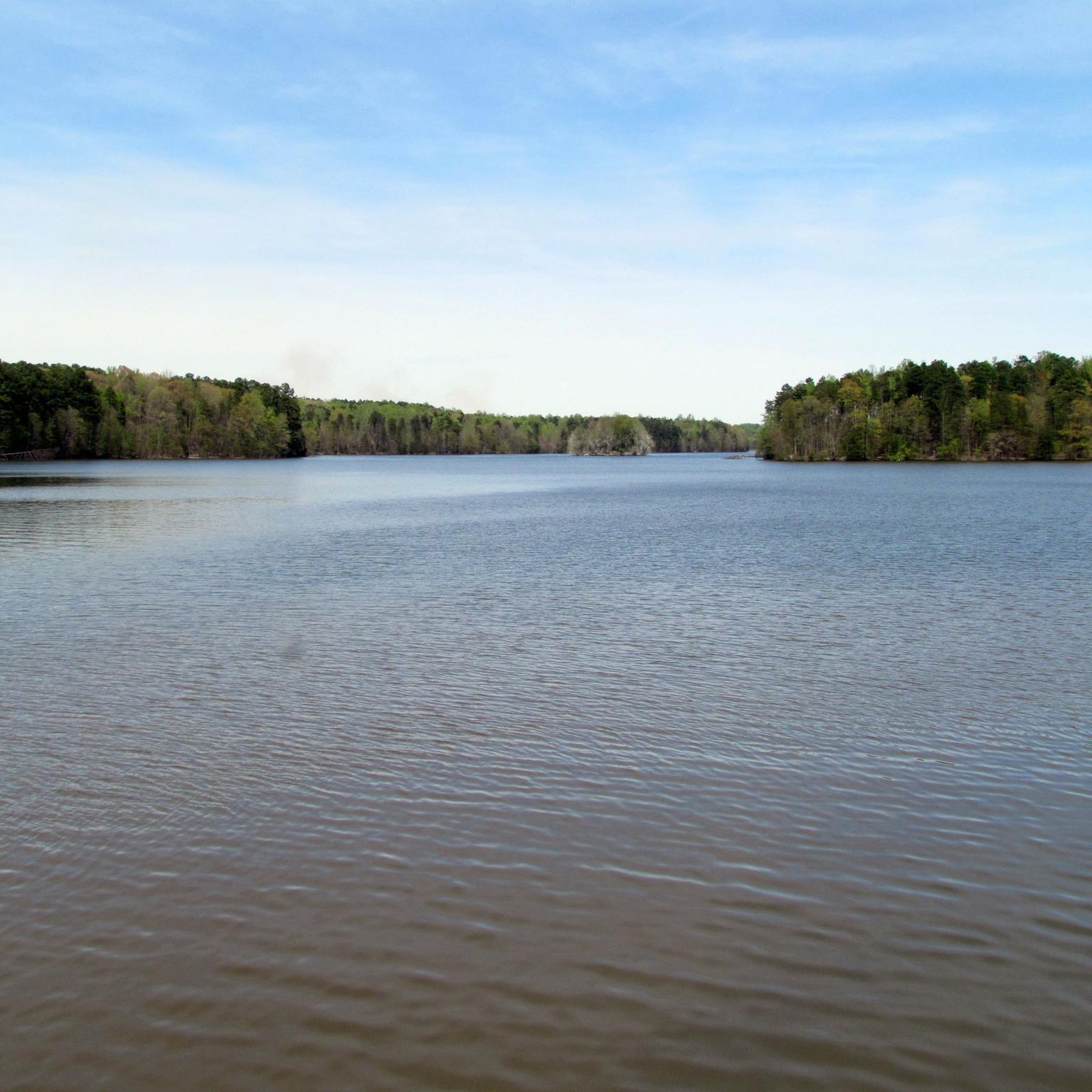
The Salem Lake Trail offers a refreshing escape, circling the tranquil waters of Salem Lake. This popular route is known for its smooth, well-maintained surface, making it an ideal choice for touring cyclists seeking a relaxed ride with continuous lake views. It's a fantastic option for those who appreciate a peaceful natural setting without demanding terrain.
Planning your ride is straightforward, with ample parking typically available at the main access points around Salem Lake Park. To ensure a more serene experience, consider visiting during off-peak hours or on weekdays. The trail is accessible throughout the year, though the mild weather of spring and autumn often provides the most comfortable cycling conditions.
This 7.2-mile (11.5 km) loop is rated easy, featuring only 162 feet (49 metres) of elevation gain and taking approximately 43 minutes to complete. It's a favorite among locals for its accessibility and gentle profile, making it a perfect family-friendly cycling destination or a quick, invigorating spin for any rider.
4.1
(7)
43
riders
38.8km
02:18
160m
160m
The Raleigh Greenway: Crabtree and Walnut Creek Loop offers a comprehensive touring cycling experience, linking two of the city's most popular greenway sections. You'll pedal through a mix of urban and natural settings, enjoying paved paths that provide a smooth ride. While specific scenic points are not detailed, the route connects you to various parts of Raleigh, making it a great way to see the city from a different perspective.
This moderate route covers 24.1 miles (38.8 km) with a total elevation gain of 531 feet (162 metres), typically taking about 2 hours and 18 minutes to complete. It's an ideal choice for cyclists seeking a longer, continuous ride without extreme climbs. Ensure you have a well-maintained touring bicycle and carry sufficient hydration, especially if you plan to ride during warmer weather.
This loop is a fantastic way to experience the interconnectivity of the Raleigh greenway system, offering a substantial workout and a chance to explore different neighborhoods and parks. It's a popular bike trail in Raleigh NC, perfect for those who appreciate a blend of city views and natural surroundings, making it a rewarding option for a longer cycling excursion.
5.0
(1)
37
riders
38.3km
02:53
810m
810m
The Patton & Elk Mountain loop via Reed Creek Greenway offers a unique contrast, starting with the tranquil, paved Reed Creek Greenway that winds along the creek and through wooded sections. This quickly gives way to rugged mountain roads, where you'll encounter significant climbs and descents, rewarding your effort with panoramic views from the Patton Mountain Viewpoint and along the less-trafficked Elk Mountain Scenic Highway. Expect a diverse cycling experience, from riparian landscapes to high mountain vistas.
This difficult 23.8-mile (38.3 km) touring cycling route, with its substantial 2647 feet (807 metres) of elevation gain, typically takes around 2 hours and 52 minutes to complete. Be prepared for varied terrain, as parts of Patton Mountain Road include dirt and gravel sections that can be challenging for touring bikes not equipped for off-pavement riding. It's advisable to check local conditions for the mountain roads before you head out, especially if you're not accustomed to pushing your bike on steep, unpaved segments.
What makes this loop stand out is its seamless blend of urban greenway charm and the rugged beauty of the Blue Ridge Mountains, all within a single ride. It provides a distinct perspective on the Asheville area, showcasing both developed areas and natural vistas, including the significant Elk Mountain view and unique painted rocks. This comprehensive experience makes it a favorite among local touring cyclists seeking a challenging and rewarding adventure.
Get access to more routes and recommendations from other explorers.
Already have an account?
Our route recommendations are based on thousands of hikes, rides, and runs completed by other people on komoot.
Start today with a free account
Your next adventure awaits.

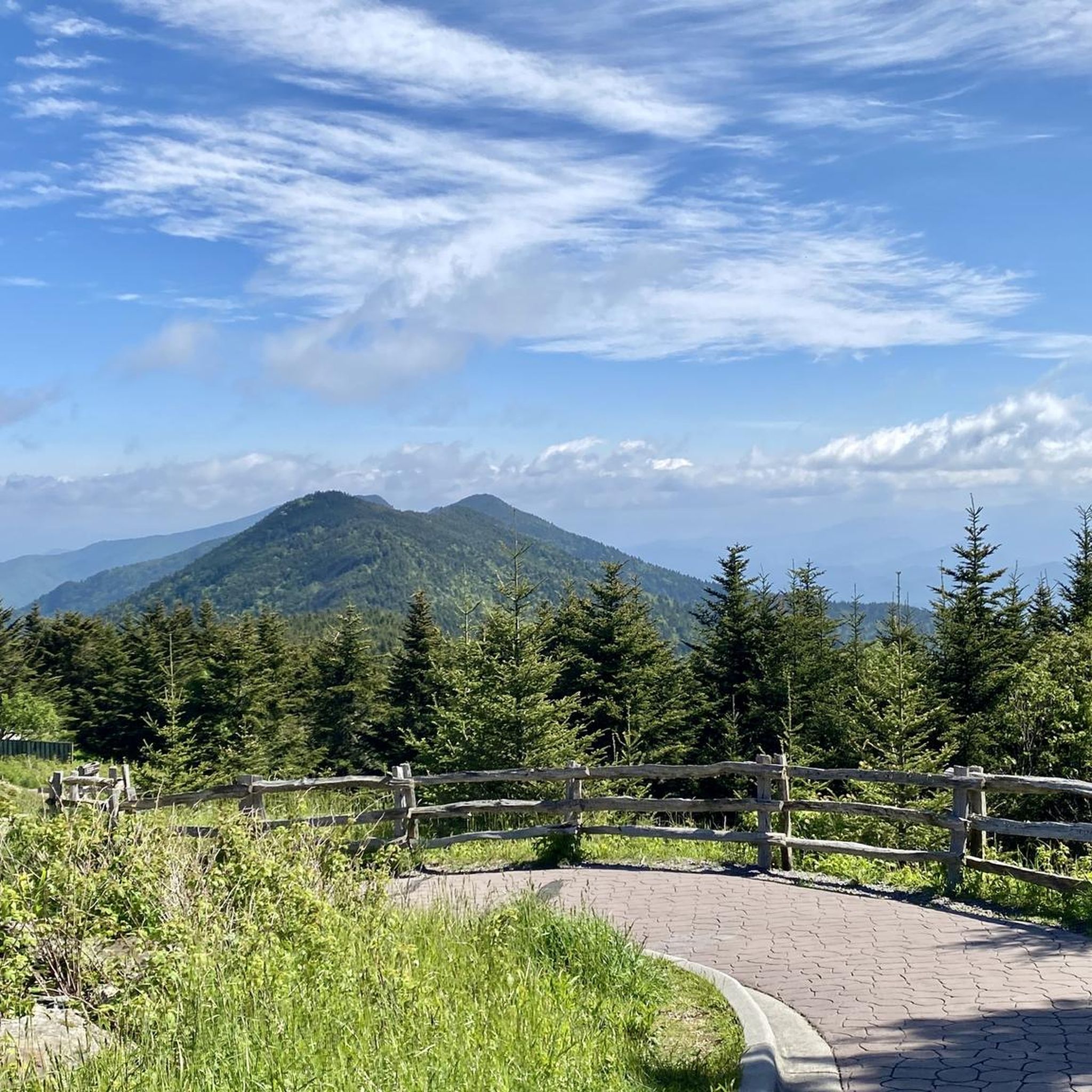
Other adventures in North Carolina


Tips from the Community

This is a super good recreation trail built along an abandoned tobacco railway line. Hence it is aptly named the American Tobacco Trail. It's a 22.6-mile long Rails-to-Trails project that crosses through Durham County, Chatham County, and Wake County. It has a variety of facilities and connector trailheads along the way. Riders routinely ride the entire length of the ATT with a road bike. Gatorskin tires will hold up very well. Especially so if you have 28-32mm tires on. Watch out for runners and other trail users!
0
0

Bond Metro Park is a 310-acre municipal park. It is often described as "an oasis in the middle of Cary." The park offers an amphitheater, a community center, trails, a lake, a playground, restrooms, and a variety of sports fields.
0
0


Located at the confluence of Hominy Creek and the French Broad River, this park offers a wide range of recreation opportunities. For runners, it has access to the western stretch of the French Broad River Greenway, an excellent path to log a few miles with the river at your side.
0
0

Lots of cool trails. Can be busy. Respect the pedestrians by calling out.
0
0

bike repair tools ,water and warm bathroom
0
0

There is a pretty great view of Elk Mountain from here. The entirety of Elk Mountain Scenic Highway has pretty good views, and it's much less trafficked with motorists compared to the Blue Ridge Parkway.
0
0
Frequently Asked Questions
How many touring cycling routes are available in North Carolina?
North Carolina offers a vast network for touring cyclists, with over 1000 routes available on komoot. These routes cater to a wide range of abilities, from easy greenways to challenging mountain ascents.
What types of terrain can I expect on touring cycling routes in North Carolina?
North Carolina's diverse geography provides varied terrain for touring cyclists. You'll find challenging mountain ascents in the Appalachian Mountains, rolling hills in the central Piedmont region, and gentle, flat coastal routes along the barrier islands. The state also features gravel and bikepacking routes, such as the Uwharrie Iron Belt, offering unique riding experiences.
Are there any easy touring cycling routes suitable for beginners or families?
Yes, North Carolina has numerous easy routes perfect for beginners or family outings. For instance, the Little Sugar Creek Greenway: Huntingtowne Farms to South Boulevard offers a pleasant, easy ride through urban parkland. Another great option is the Salem Lake and Creek Greenway Loop, providing a relaxed experience around the lake.
What do other touring cyclists enjoy most about cycling in North Carolina?
The touring cycling routes in North Carolina are highly rated by the komoot community, with an average score of 4.6 stars from over 900 reviews. Cyclists often praise the diverse landscapes, from coastal scenery to mountain vistas, and the well-maintained paths that offer options for all skill levels.
Are there any long-distance touring routes or multi-day options in North Carolina?
North Carolina is home to several prominent long-distance routes. The ambitious Mountains-to-Sea Trail stretches over 700 miles, connecting the Appalachian Mountains to the Atlantic Ocean. Other notable routes include US Bike Route 1 and the North Line Trace. For a challenging multi-day experience, consider routes like the 'Bikepacking Pisgah: The Appalachian (beer) Trail'.
Can I find circular touring cycling routes in North Carolina?
Yes, many circular routes are available for touring cyclists. Examples include the Lake Crabtree gravel loop, which offers a moderate ride, and the French Broad River Greenway Loop, an easy option. For a more challenging loop, the Patton & Elk Mountain loop via Reed Creek Greenway provides significant elevation changes.
What kind of natural features or landmarks can I see along the touring routes?
North Carolina's routes pass through diverse natural landscapes. In the mountains, you might encounter towering peaks like Mount Mitchell Summit or scenic viewpoints such as Kuwohi Observation Tower. The Piedmont offers lush woodlands, while coastal routes provide views of barrier islands and unique ecosystems like Jockey's Ridge State Park. You can also find highlights like Loop 4 at Crabtree Lake Park.
Are there any touring routes that feature waterfalls?
While specific routes listed in the guide may not explicitly highlight waterfalls, the mountainous regions of North Carolina are renowned for them. The Appalachian Mountains, including the Blue Ridge, are home to numerous waterfalls like Crabtree Falls, which can be accessed via nearby trails, offering a scenic detour from your cycling route.
What is the best time of year to go touring cycling in North Carolina?
The best time to cycle in North Carolina largely depends on the region. Spring and fall generally offer pleasant temperatures across the state. The mountains are particularly stunning during fall foliage season, though some higher elevation routes might be cooler. The coastal areas are enjoyable in spring and fall, avoiding the peak heat and humidity of summer.
Are there any routes that offer coastal scenery?
Absolutely! The Coastal Plain region of North Carolina provides excellent opportunities for coastal touring. The Kitty Hawk to Corolla Bike Trail is a prime example, offering beautiful coastal scenery along North Carolina's barrier islands.
Can I find routes that pass through towns with amenities like breweries or cafes?
Yes, many cycling routes in North Carolina are designed to pass through or near cities and towns such as Asheville, Winston-Salem, Greensboro, Durham, and Raleigh. These areas offer convenient access to amenities like cafes, restaurants, and local breweries, allowing for refreshing stops during your tour.
What are some of the more challenging touring cycling routes in North Carolina?
For experienced touring cyclists seeking a challenge, North Carolina's mountain regions offer demanding routes. The Cherohala Skyway is a difficult route leading through the Appalachian Mountains with significant elevation changes. The North Carolina portion of the East Coast Greenway (NC) also presents a challenging, long-distance option.
Most popular routes in North Carolina
Most popular attractions in North Carolina

Get inspired with the komoot mobile app


Didn’t find what you were looking for?
Check out more Cycling routes throughout North Carolina below and find the perfect route in your destination.
Explore more
Browse the best Cycling routes in other regions.
