The best cycling routes around Frankfurt am Main
4.4
(10352)
61,821
riders
815
rides
Touring cycling around Frankfurt am Main offers diverse routes along the Main and Nidda rivers, through expansive city forests, and past vineyards. The region features mostly gentle terrain with some rolling hills, providing a mix of flat river paths and moderate ascents. Many long distance bike routes near Frankfurt am Main follow waterways, offering scenic viewpoints cycling Frankfurt am Main and connecting urban areas with natural landscapes.
Best touring cycling routes around Frankfurt am Main
- The most popular touring cycling…
Last updated: October 18, 2026
4.7
(680)
2,259
riders
64.2km
04:03
330m
330m
Hard bike ride. Good fitness required. You may need to push your bike for some segments of this route.
4.6
(264)
1,373
riders
46.7km
02:48
210m
210m
Moderate bike ride. Good fitness required. Mostly paved surfaces. Suitable for all skill levels.

4.7
(271)
819
riders
36.7km
02:18
120m
120m
Moderate bike ride. Good fitness required. Mostly paved surfaces. Suitable for all skill levels.
4.6
(291)
1,161
riders
Moderate bike ride. Good fitness required. Mostly paved surfaces. Suitable for all skill levels.
4.5
(175)
1,431
riders
Easy bike ride. Great for any fitness level. Mostly paved surfaces. Suitable for all skill levels.
4.6
(137)
973
riders
Easy bike ride. Great for any fitness level. Mostly paved surfaces. Suitable for all skill levels.
4.5
(293)
1,202
riders
58.9km
03:36
210m
210m
Moderate bike ride. Good fitness required. Mostly paved surfaces. Suitable for all skill levels.
4.6
(66)
1,196
riders
53.5km
03:36
810m
810m
Hard bike ride. Very good fitness required. Mostly paved surfaces. Suitable for all skill levels.
4.7
(23)
630
riders
56.1km
03:50
850m
850m
Hard bike ride. Very good fitness required. Mostly paved surfaces. Suitable for all skill levels.
4.6
(82)
693
riders
19.7km
01:09
40m
40m
Easy bike ride. Great for any fitness level. Mostly paved surfaces. Suitable for all skill levels.
Get access to more routes and recommendations from other explorers.
Already have an account?
Our route recommendations are based on thousands of hikes, rides, and runs completed by other people on komoot.
Start today with a free account
Your next adventure awaits.
Popular around Frankfurt am Main
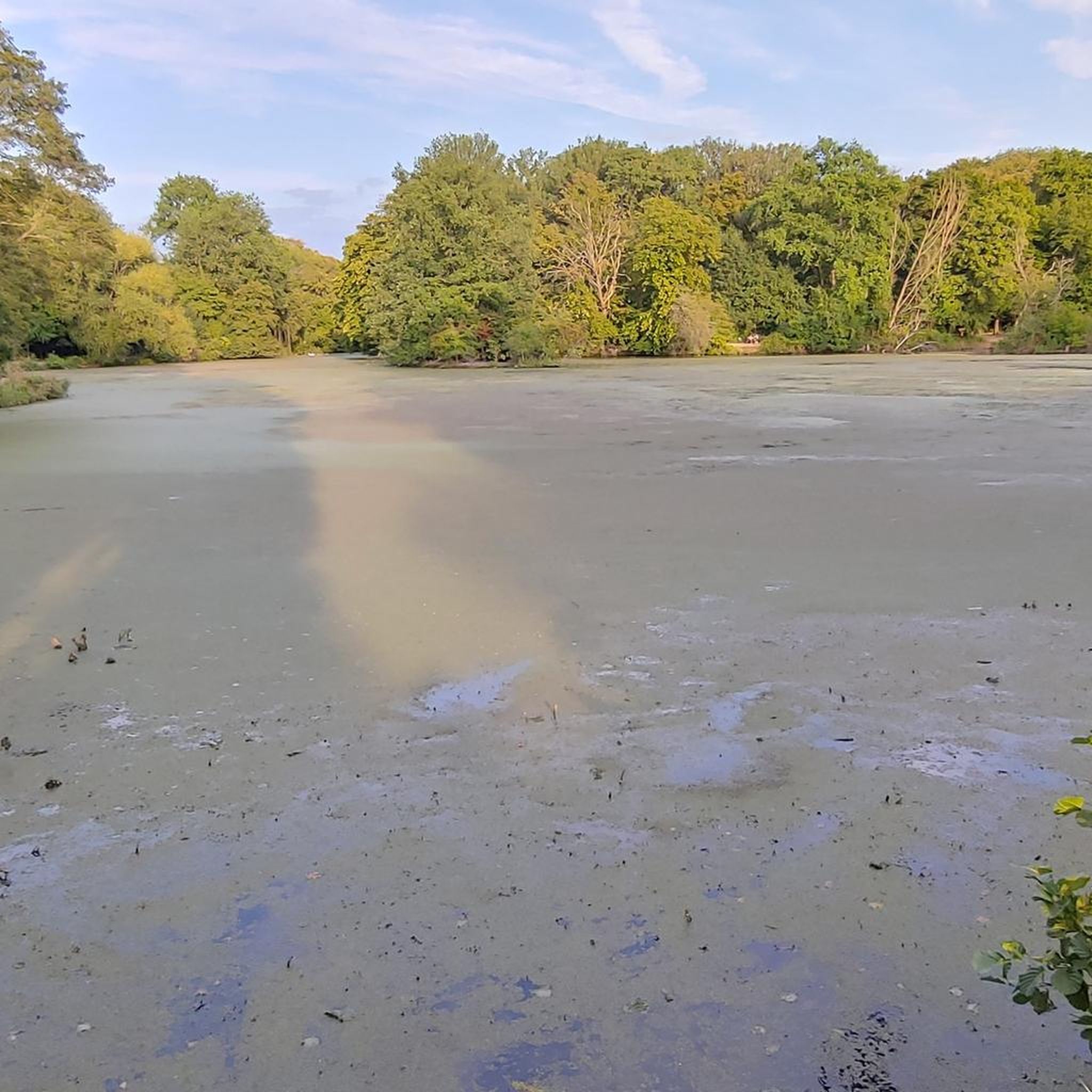
Cycling around Niedwald
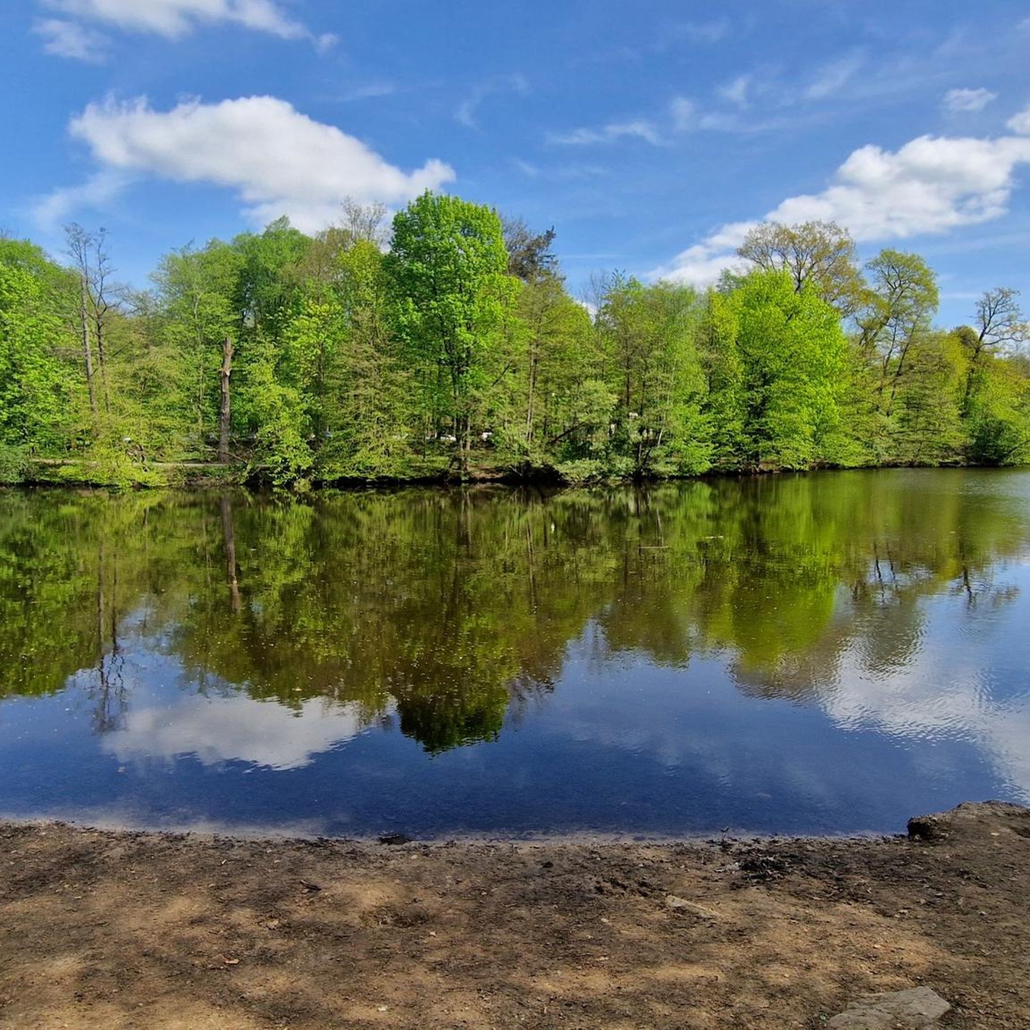
Cycling in Frankfurter Stadtwald
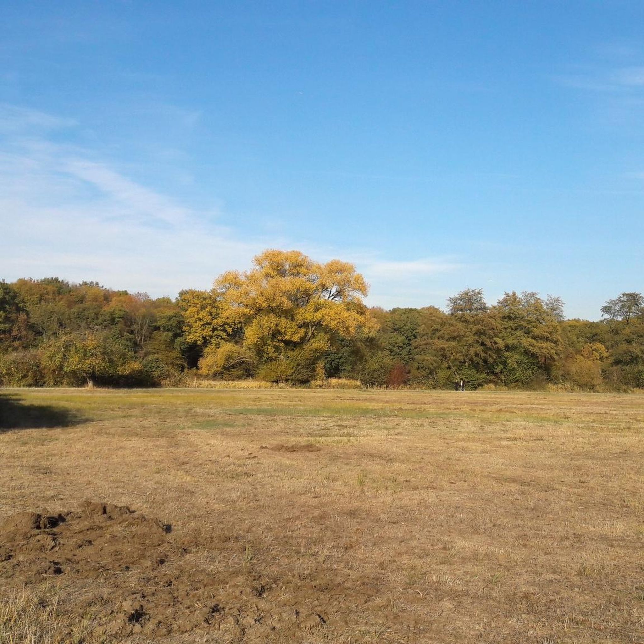
Cycling in Schwanheimer Wald

By bike and train into the green - cycling Tours around the EUROBIKE
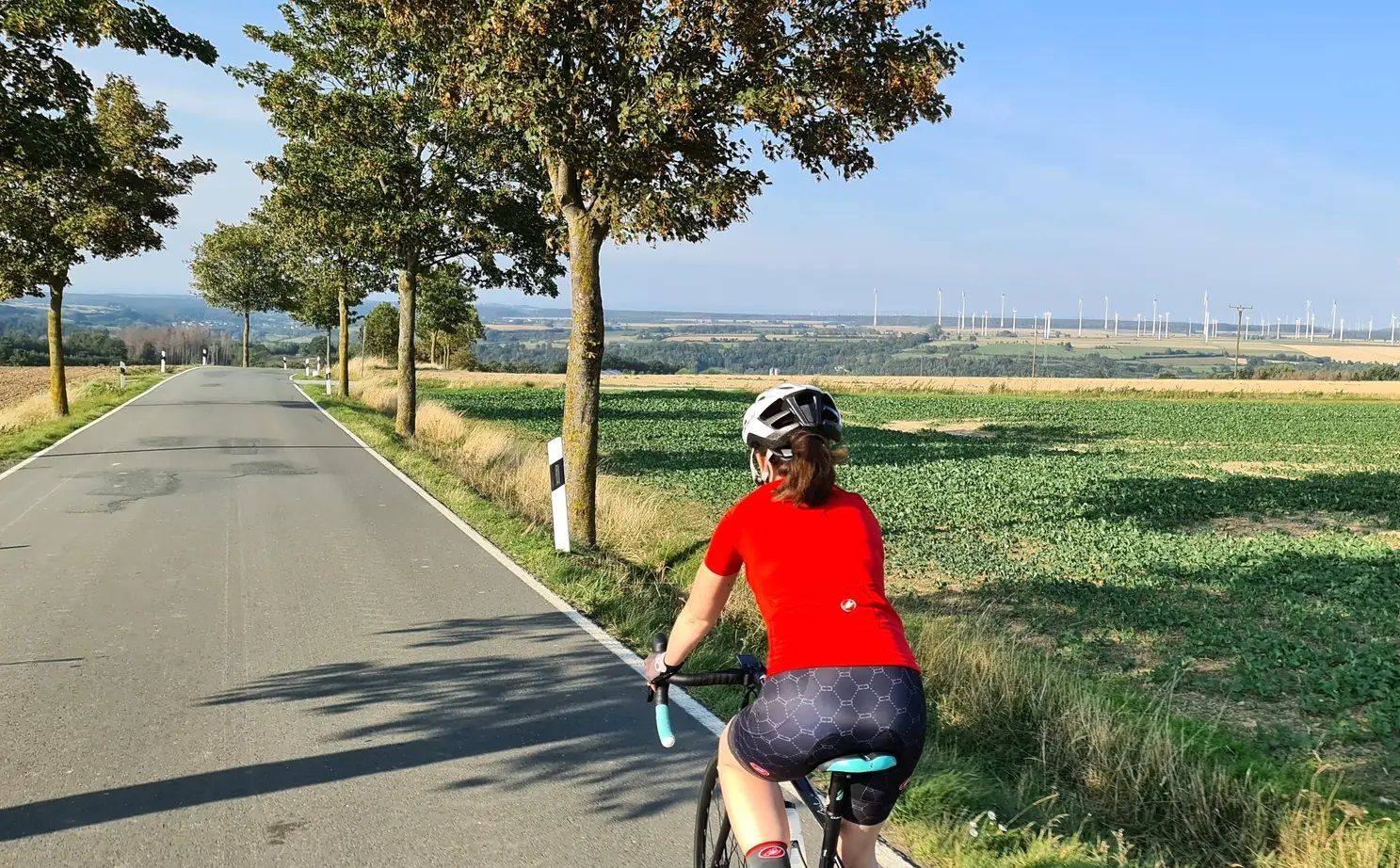
The skyline to half-timbered buildings – Frankfurt to Bielefeld

Bikepacking to road cycling to MTB – on Tour with RMV
Wheels like Hesse – Seven ways to Hessen
From safari to world heritage — cycling tours in the Taunus region
The Main Cycle Route - 12 days of river diversity
Goethe, GrünGürtel & big city flair – culture & nature in Frankfurt
Other adventures around Frankfurt am Main


Tips from the Community

Very nice section of the Main river.
0
0

Was staying overnight at the airport as part of a training. A nice round through the city forest picked me up again in the evening. The old riverbed is now a huge meadow with a great panoramic view.
0
0

The Nidda was named after a Celtic-Germanic settlement called Nida near Heddernheim. The watercourse was already used by the Romans as a transport and trade route.
0
0
Details of the conversionNew weir: An approximately 70-meter-long, slightly curved weir directs water into the Grill's old riverbed.Sill and ramp: In the main bed of the Nidda, a rough stone embankment (sill ramp) ensures natural height equalization.Fish passage: New fish ladders enable fish to pass unhindered from the Main to the upper Nidda.
0
0
Completion: The redevelopment work by Frankfurt's drainage department was officially completed in August 2025 after two and a half years of construction.
0
0
New weir: An approximately 70-meter-long, slightly curved weir diverts water into the Grill's old arm. Rock ramp and slide: In the main riverbed of the Nidda, a rough stone embankment (rock ramp) ensures natural height equalization. Fish ladder: New fish ladders enable fish to pass unimpeded from the Main to the upper Nidda.
0
0
The Sossenheimer weir on the Nidda has been converted into a nature- and fish-passable weir with a bottom slide and fish ladders.
1
0
Starting point: Niddaquelle at Hoherodskopf in the Vogelsberg (over 700 meters altitude). End point: Wörthspitze in Frankfurt-Höchst (mouth into the Main). Altitude profile: From the source in the mountains, it initially goes downhill and then continues very flatly through the flat Wetterau and the Frankfurt Green Belt.
0
0
Frequently Asked Questions
How many touring cycling routes are available around Frankfurt am Main?
There are over 800 touring cycling routes around Frankfurt am Main, catering to various skill levels. You'll find a wide selection of paths along rivers, through city forests, and past vineyards.
Are there easy touring cycling routes suitable for beginners or families?
Yes, Frankfurt am Main offers numerous easy routes. For a relaxed ride with scenic views of the skyline, consider the View of the Frankfurt Skyline – Holbein Footbridge loop from Schweizer Platz, which is an easy 14.2-mile (22.8 km) path. Over 440 easy routes are available in the region.
What are some challenging long-distance touring cycling routes in the area?
For a more demanding ride, the Lohrberg Vineyard – Goethe Tower (Observation Tower) loop from Hügelstraße is a difficult 40.6-mile (65.3 km) route featuring vineyard landscapes and an observation tower. Another challenging option is the Brunhildis Rock – Summit Cross of the Großer Feldberg loop from Dornbusch, which includes significant elevation gain.
Are there touring cycling routes that offer scenic viewpoints of the Frankfurt skyline?
Absolutely. Many routes provide stunning views of the city. The View of the Frankfurt Skyline – View of the Frankfurt Skyline loop from Habsburgerallee is a popular moderate route specifically designed for extensive skyline views. You can also find a great vantage point at the View of the Frankfurt skyline from Lohrberg.
Can I find circular touring cycling routes around Frankfurt am Main?
Yes, most touring cycling routes in Frankfurt am Main are designed as loops, allowing you to start and end at the same point. Examples include the Goethe Tower – Zur Käsmühle Beer Garden loop from Dom/Römer, which takes you through urban green spaces, and the Confluence of the Nidder and the Nidda – Nidda Floodplains loop from Grüneburgweg.
What kind of natural attractions can I see along the touring cycling routes?
The routes often pass by beautiful natural spots. You can explore the Nidda weir near Frankfurt-Nied, walk the Boardwalk through the Schwanheim Dune, or visit the tranquil Maunzenweiher lake. Many routes follow the Main and Nidda rivers, offering picturesque waterside scenery.
Are there routes that go through the city forest?
Yes, Frankfurt's expansive city forest is a popular destination for cyclists. The Bridge Over the Herchwiese – Frankfurt City Forest loop from Dom/Römer is a moderate 33.5-mile (53.9 km) route that takes you directly through this green oasis.
What do other touring cyclists enjoy most about cycling in Frankfurt am Main?
The area is highly rated by the komoot community, with an average score of 4.5 stars from over 10,000 reviews. Reviewers often praise the diverse landscape, including flat river paths and rolling hills, as well as the well-maintained routes that connect urban areas with natural landscapes.
Are there any specific routes along the Nidda River?
The Nidda River is a central feature of many touring cycling routes. You can explore the Streichwehr Sossenheim – Nidda River Landscape loop from Frankfurt-Höchst for an easy ride along its banks, or take on the longer Nidda River – Confluence of the Nidder and the Nidda loop from Musterschule.
What is the best time of year for touring cycling in Frankfurt am Main?
Spring and autumn generally offer the most pleasant conditions for touring cycling in Frankfurt am Main, with mild temperatures and beautiful scenery. Summer is also popular, especially for routes along the rivers where shade can be found. Always check the local weather forecast before heading out.
Are there bike parks or specific trails for mountain biking near Frankfurt am Main?
While this guide focuses on touring cycling, there are options for other types of biking. You can find bike parks and singletracks in the vicinity, such as the Old Frankfurt-Bonames Airfield, the Kelsterbach Terrace Singletrail, or the Pumptrack Heilsberg (Bad Vilbel).
Most popular routes around Frankfurt am Main
Most popular attractions around Frankfurt am Main

Get inspired with the komoot mobile app


Didn’t find what you were looking for?
Check out more Cycling routes throughout Frankfurt am Main below and find the perfect route in your destination.
Explore more
Browse the best Cycling routes in other regions.
