The best road cycling routes around Frankfurt am Main
4.3
(4315)
67,780
riders
625
rides
Road cycling routes around Frankfurt am Main offer diverse terrain, from flat river paths to challenging mountain climbs. The region is characterized by the Main River, the Taunus Mountains to the north, and the extensive Frankfurt Green Belt. Cyclists can navigate well-maintained paths through urban green spaces, forests, meadows, and even unique inland dunes. This blend of natural features and accessible routes makes Frankfurt am Main a varied destination for road cycling.
Best road cycling routes around Frankfurt am Main
- The most popular road cycling route is Kapersburg Route Taunus Loop, a 28.8 miles (46.4 km) trail that takes 2 hours 7 minutes to complete. This moderate route ascends into the Taunus Mountains, offering varied gradients.
- Another top favourite among local road cyclists is Vordertaunus and Hochtaunus Loop from Frankfurt, a difficult 50.2 miles (80.8 km) path. This route features significant elevation gain through the higher elevations of the Taunus, providing panoramic views.
- Local road cyclists also love the Nidda Cycle Path – Nidda River Rapids loop from Dornbusch, a 19.5 miles (31.3 km) trail leading through river floodplains and green meadows, often completed in about 1 hour 22 minutes.
- Road cycling around Frankfurt am Main is defined by Main River paths, Taunus Mountains climbs, and urban green belts. The network offers options for different ability levels, from easy riverside rides to challenging mountain ascents.
- The routes in Frankfurt am Main are highly rated by the komoot community with an average score of 4.3 stars from over 3,300 reviews. More than 61,000 road cyclists have used komoot to explore Frankfurt am Main's varied terrain.
Last updated: October 10, 2026
4.5
(213)
1,966
riders
46.4km
02:07
490m
490m
This moderate 28.8-mile road bike tour in Taunus Nature Park offers undulating terrain, apple orchards, and scenic views near Wehrheim.
4.3
(23)
476
riders
80.8km
04:03
1,160m
1,160m
This difficult 50.2-mile road cycling route from Frankfurt takes you through the Taunus Nature Park, offering challenging climbs and scenic

4.6
(231)
2,167
riders
54.2km
02:10
220m
220m
Moderate road ride. Good fitness required. Mostly well-paved surfaces and easy to ride.
4.7
(82)
1,739
riders
57.0km
02:44
790m
790m
Moderate road ride. Good fitness required. Mostly well-paved surfaces and easy to ride.
4.3
(196)
1,918
riders
Easy road ride. Great for any fitness level. Mostly well-paved surfaces and easy to ride.
4.3
(12)
1,056
riders
84.8km
03:43
750m
750m
Moderate road ride. Good fitness required. Some segments of this route may be unpaved and difficult to ride.
4.5
(117)
1,386
riders
28.7km
01:13
230m
230m
Easy road ride. Great for any fitness level. Mostly well-paved surfaces and easy to ride.
4.6
(79)
1,478
riders
63.2km
02:57
130m
130m
Moderate road ride. Good fitness required. Some segments of this route may be unpaved and difficult to ride.
4.7
(82)
1,465
riders
71.2km
03:04
640m
640m
Moderate road ride. Good fitness required. Mostly well-paved surfaces and easy to ride.
4.5
(57)
852
riders
Moderate road ride. Good fitness required. Mostly well-paved surfaces and easy to ride.
Get access to more routes and recommendations from other explorers.
Already have an account?
Our route recommendations are based on thousands of hikes, rides, and runs completed by other people on komoot.
Start today with a free account
Your next adventure awaits.
Popular around Frankfurt am Main
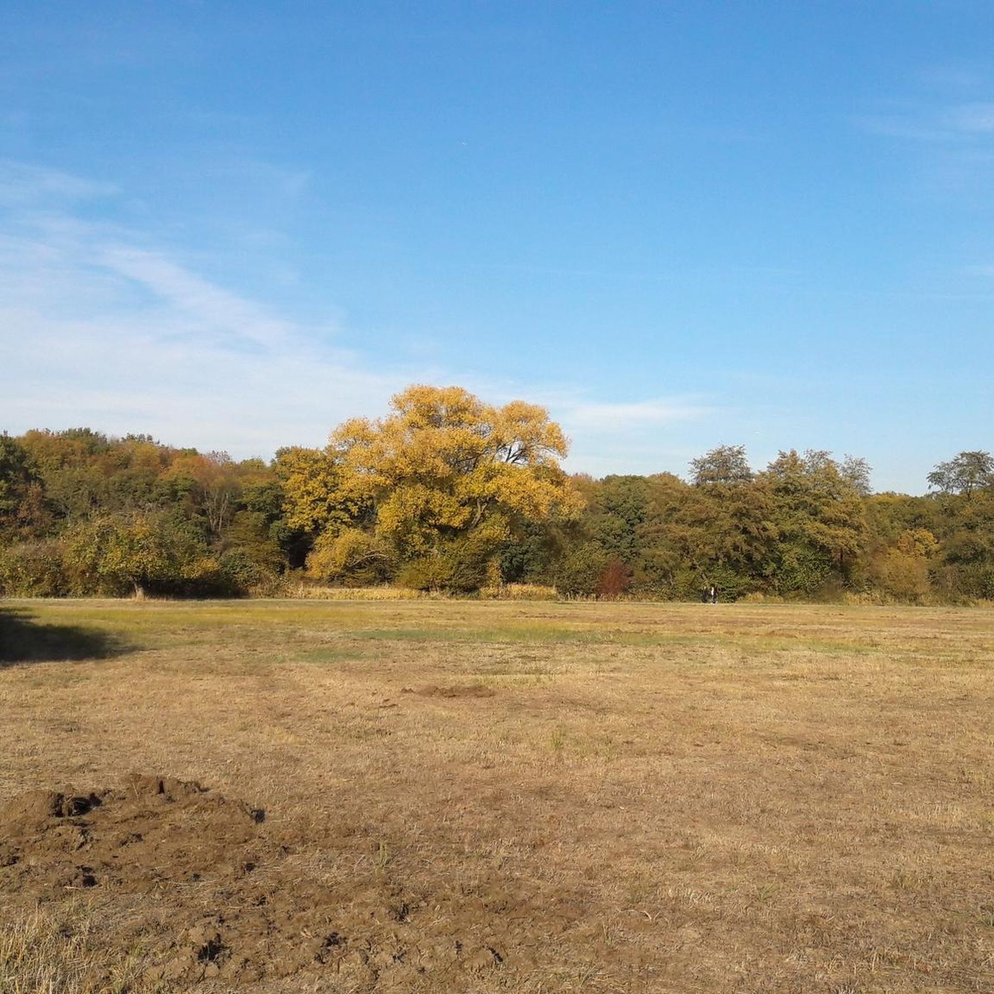
Road Cycling Routes in Schwanheimer Wald
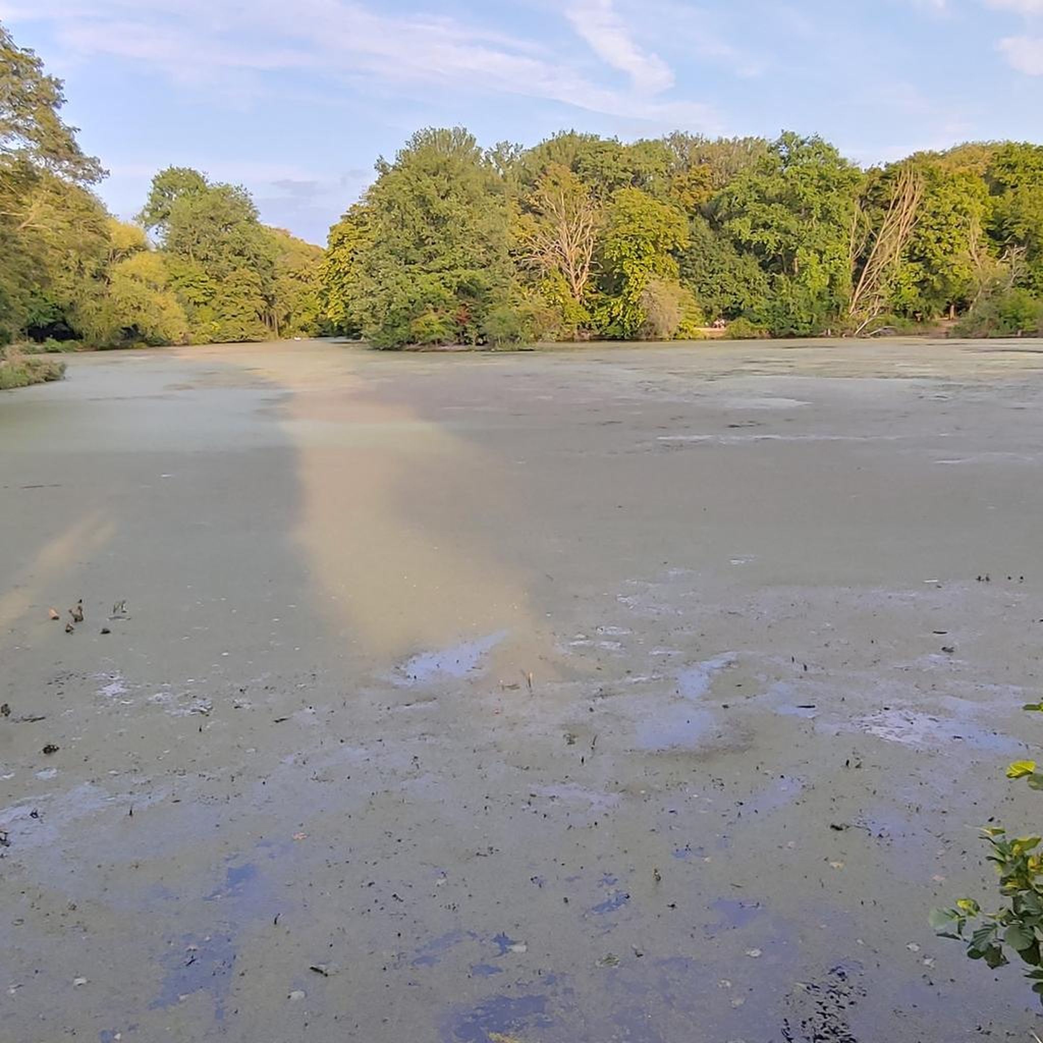
Road Cycling Routes around Niedwald
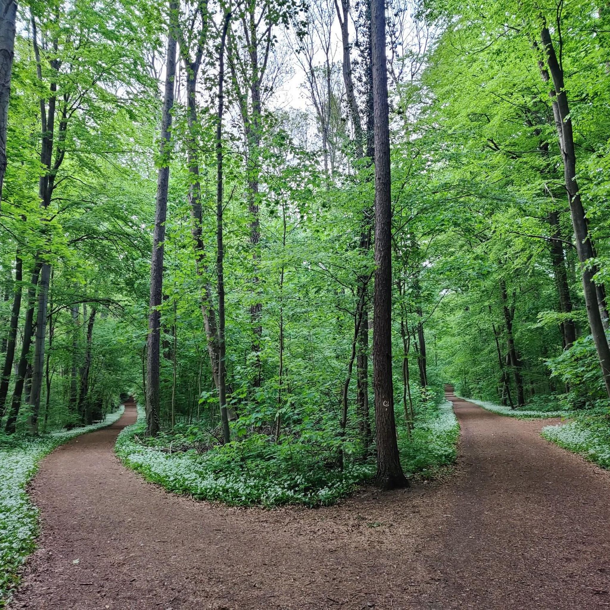
Road Cycling Routes in Frankfurter Stadtwald

Germany's best bike cafés
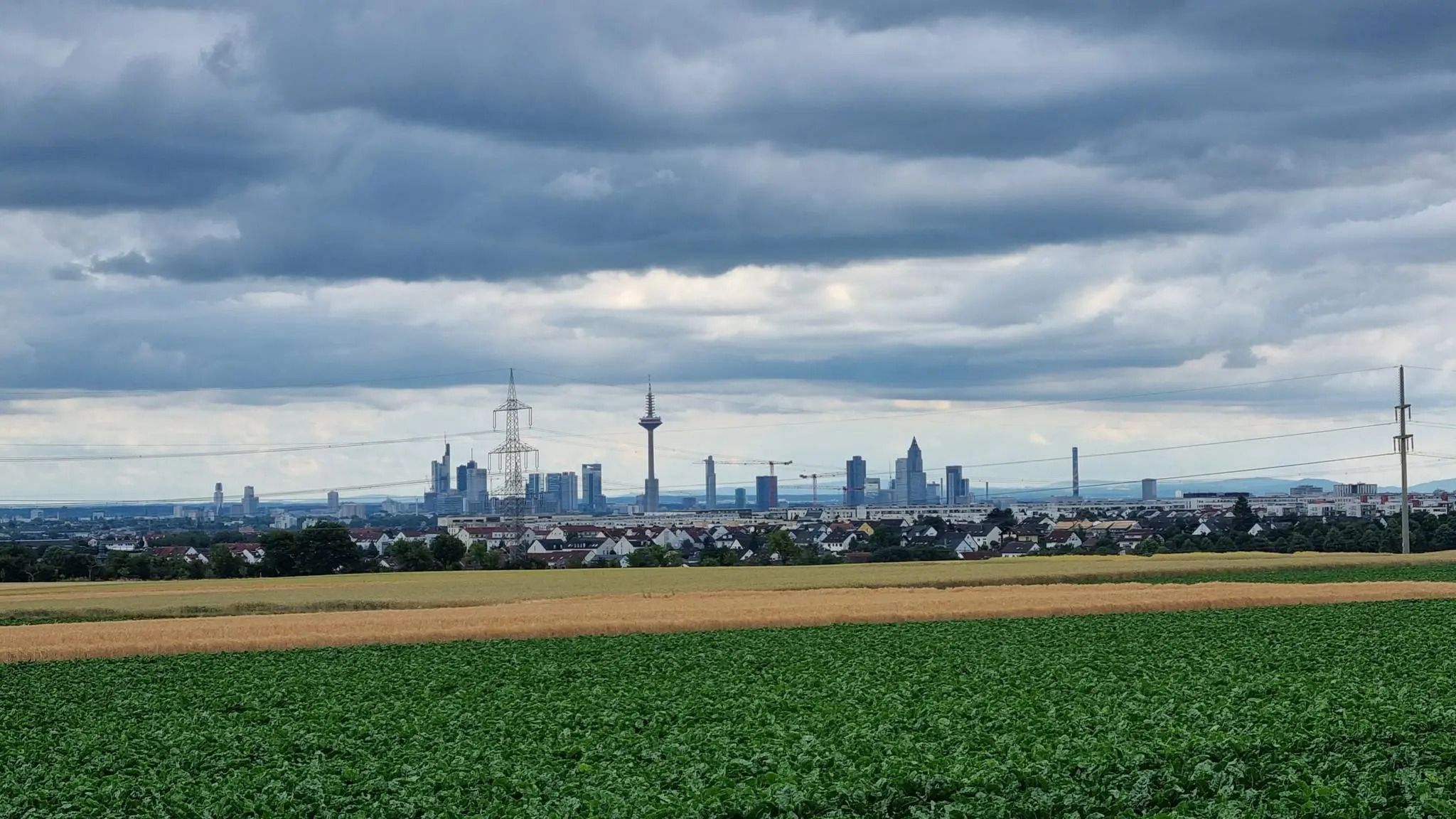
Frankfurt's best after-work rides
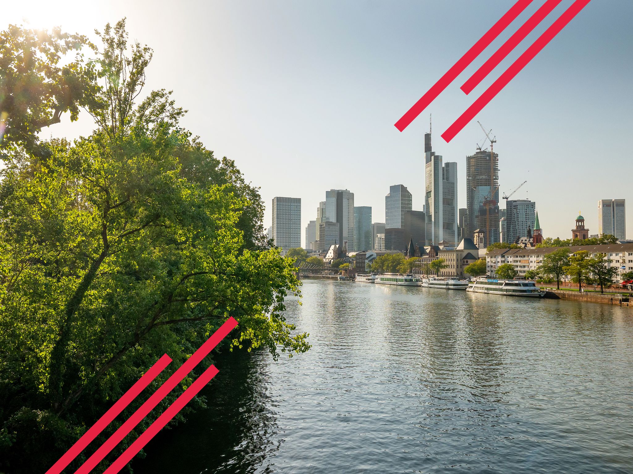
Goethe, GrünGürtel & big city flair – culture & nature in Frankfurt
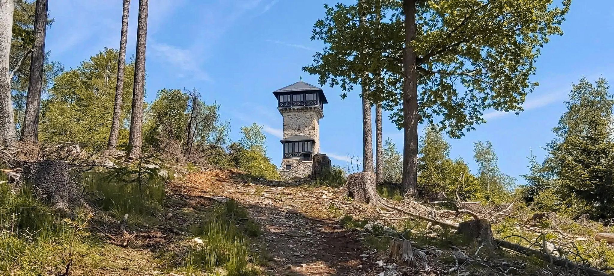
Autumn views: to the most beautiful vantage points in the RMV area

By bike and train into the green - cycling Tours around the EUROBIKE

Orchards, vineyards, taverns – hikes in the RMV area

Out into spring – glorious hikes with the RMV
Other adventures around Frankfurt am Main


Tips from the Community

Very nice bridge
0
0

The view of the skyline is fascinating.
1
0

Good starting point for medium-length summit tours
0
0

Here at the beginning of the Hohe Strasse, your history is briefly explained and also what significance it has had for a long time.
0
0

Very narrow county road, where cars drive up to 100 km/h and only see cyclists at the last moment. There is not only little space to evade oncoming traffic, but buses in particular overtake very closely, and the air turbulence when they merge back into the lane can knock inexperienced cyclists off their bikes... If you want to ride here at all, you should only risk it from Frankfurt in the direction of Neu-Isenburg, where the route goes more downhill, and you should reach at least 50 km/h... If you are too slow here (especially in the direction of Frankfurt), you are risking your life. This is not a cycling race track but primarily a car road, and cyclists should switch to the neighboring forest paths, such as the Jacobiweg, at least when going uphill. I have seen cargo bikes with children here, which is highly dangerous, especially because a cargo bike is too wide to be overtaken with the minimum distance.
4
1

Looking back or forward to the Großer Feldberg. Just enjoy!
1
0
It is certainly not a safe road for racing bikes, as the road is relatively narrow for both bicycles and cars at the same time.
1
0

From the bridge, you have a magnificent view across the Main River to the Frankfurt skyline. It's also a great spot to watch the sunset over the Main.
4
0
Frequently Asked Questions
What kind of terrain can I expect when road cycling around Frankfurt am Main?
Frankfurt am Main offers a diverse range of terrain for road cyclists. You can find predominantly flat and well-maintained paths along the Main River and Nidda Cycle Path, ideal for relaxed rides. For those seeking more challenge, the Taunus Mountains to the north provide significant elevation gains and demanding climbs, rewarding riders with panoramic views. The Frankfurt Green Belt offers a mix of parks, forests, and meadows, providing varied gradients within an urban-natural setting.
Are there challenging climbs for road cyclists in the Frankfurt region?
Yes, the Taunus Mountains, located just north of Frankfurt, offer challenging climbs for experienced road cyclists. Routes like the Vordertaunus and Hochtaunus Loop from Frankfurt feature significant elevation gain, reaching higher elevations and providing spectacular vantage points. The region is known for its demanding routes and dense forests.
Are there easy road cycling routes suitable for beginners or casual rides?
Absolutely. Many routes along the Main River and the Nidda Cycle Path are relatively flat and well-suited for beginners or those looking for a more relaxed ride. For example, the Nidda River Nature Reserve – Bad Vilbel Moated Castle loop from Grüneburgweg is an easy route that takes you through pleasant natural surroundings. Another easy option is the Speed Track Dietzenbach–Rodgau – Climb to Gut Neuhof loop from Schweizer Platz.
What natural features or landmarks can I see along road cycling routes in Frankfurt am Main?
Road cycling routes in Frankfurt am Main offer a variety of natural and historical sights. Along the Main River, you'll enjoy views of the Frankfurt skyline and unique natural features like the Schwanheimer Düne nature reserve. The Nidda Cycle Path winds through floodplains, green meadows, and forests. In the Taunus Mountains, you can explore dense forests and historical sites like Roman watchtowers. The Frankfurt Green Belt features the Goetheturm (Goethe Tower) for city views, the Palmengarten, and the Niddapark.
Are there any interesting attractions or places to stop along the routes?
Yes, there are several interesting attractions and places to stop. Along the Nidda River, you might encounter the Pumptrack Heilsberg (Bad Vilbel). Within the Frankfurt City Forest, you can find various shelters like the Shelter in Frankfurter Stadtwald or the Forest Shelter, perfect for a break. For a quick bite or coffee, the In the Gadde cafe is also an option.
Are there family-friendly road cycling routes in Frankfurt am Main?
While road cycling generally involves faster speeds and shared roads, many of the flatter sections along the Main River and Nidda Cycle Path are suitable for families with older children who are comfortable on bikes. These paths are often well-maintained and offer a serene cycling experience away from heavy traffic. The Nidda Cycle Path – Nidda River Rapids loop from Dornbusch is a moderate option that follows the river through green meadows.
How accessible are the road cycling routes by public transport or car?
Frankfurt am Main's road cycling routes are generally very accessible. Many routes start or pass through areas well-connected by public transport, allowing you to reach starting points easily. For those driving, various parking options are available in and around the city, especially near the Green Belt or the outskirts of the Taunus Mountains. The city's commitment to green spaces means many routes are integrated into the urban fabric, making them convenient to access.
When is the best time of year for road cycling in Frankfurt am Main?
The best time for road cycling in Frankfurt am Main is typically from spring to autumn (April to October). During these months, the weather is generally mild and pleasant, with less rain and comfortable temperatures. Spring offers blooming landscapes, while autumn provides beautiful foliage. Summer is also great, but it can get quite warm, so early morning or late afternoon rides are often preferred. Winter cycling is possible, but be prepared for colder temperatures and potentially icy conditions, especially in higher elevations.
Are there places to eat or rest along the road cycling routes?
Yes, many road cycling routes around Frankfurt am Main offer opportunities for refreshments and rest. Especially along the Main River and in towns within the Taunus region, you'll find cafes, restaurants, and traditional German pubs. Within the city's green spaces, like the City Forest, there are also shelters and picnic areas. For example, the In the Gadde cafe is a convenient stop.
How many road cycling routes are there in Frankfurt am Main?
There are over 650 road cycling routes available around Frankfurt am Main on komoot, catering to various skill levels. This includes more than 140 easy routes, nearly 400 moderate routes, and over 120 difficult routes, ensuring options for every cyclist.
What do other road cyclists enjoy the most about road cycling in Frankfurt am Main?
The road cycling experience in Frankfurt am Main is highly rated by the komoot community, with an average score of 4.3 stars from over 3,300 reviews. Cyclists often praise the region's diverse terrain, from the scenic river paths to the challenging Taunus climbs, and the seamless blend of urban and natural landscapes. The well-maintained paths and accessibility to green spaces are frequently highlighted as key attractions.
Are most road cycling routes around Frankfurt am Main circular?
Many of the popular road cycling routes around Frankfurt am Main are designed as loops, offering convenient starting and ending points. Examples include the Kapersburg Route Taunus Loop and the Hohe Straße – Wilhelmsbad State Park loop from Schweizer Platz. However, there are also point-to-point options, particularly along the longer river paths, allowing for flexible route planning.
Can I find less crowded road cycling options near Frankfurt?
While popular routes can see more traffic, especially on weekends, exploring the extensive network of paths in the Frankfurt Green Belt or venturing further into the Taunus Mountains can offer quieter experiences. The Nidda Cycle Path, particularly sections further from the city center, often provides a serene cycling experience away from urban noise. Routes like the Hohe Straße – Nidda Cycle Path loop from Miquel-/Adickesallee can offer a good balance of accessibility and tranquility.
Most popular routes around Frankfurt am Main
Most popular attractions around Frankfurt am Main

Get inspired with the komoot mobile app


Didn’t find what you were looking for?
Check out more Road cycling routes throughout Frankfurt am Main below and find the perfect route in your destination.
Explore more
Browse the best Road cycling routes in other regions.
