The best waterfall hikes and walks around Frankfurt am Main
4.4
(6171)
36,822
hikers
8
hikes
Waterfall hiking trails around Frankfurt am Main offer access to diverse natural landscapes, blending urban green spaces with easily accessible natural regions. The area is characterized by the extensive Frankfurt City Forest, the encircling GreenBelt, and the Main River with its riverside paths. Beyond the city, the Taunus Mountains provide rolling hills and dense forests, while the Spessart and Odenwald regions offer varied terrain with woodlands and open meadows. These features create a varied environment for outdoor activities, including trails that lead to waterfalls.
Best waterfall hiking trails around Frankfurt am Main
- The most popular waterfall hiking route is Billtal Waterfall – Großer Feldberg Summit loop from Königstein (Taunus), a 10.6 miles (17.0 km) trail that takes 5 hours 9 minutes to complete. This difficult route combines a waterfall visit with an ascent to the highest peak in the Taunus.
- Another top favourite among local hikers is Main Street, Königstein – Billtal Waterfall loop from Königstein (Taunus), a moderate 6.2 miles (9.9 km) path. This loop starts from Königstein and features the Billtal Waterfall within the Taunus region.
- Local hikers also love the Taunus Ponds – Billtal Waterfall loop from Schneidhain, a 10.1 miles (16.2 km) trail leading through the Taunus region, often completed in about 4 hours 43 minutes.
- Hiking around Frankfurt am Main is defined by urban forests, rolling hills of the Taunus, and river valleys. The network offers options for different ability levels, from moderate loops to more difficult summit ascents.
- The routes in Frankfurt am Main are highly rated by the komoot community with an average score of 4.5 stars from over 5,000 reviews. More than 35,000 hikers have used komoot to explore Frankfurt am Main's varied terrain.
Last updated: October 20, 2026
4.7
(76)
229
hikers
Hard hike. Very good fitness required. Easily-accessible paths. Suitable for all skill levels.
4.7
(15)
40
hikers
Moderate hike. Good fitness required. Easily-accessible paths. Suitable for all skill levels.

4.9
(21)
43
hikers
16.2km
04:44
440m
440m
Moderate hike. Good fitness required. Easily-accessible paths. Suitable for all skill levels.
4.1
(9)
20
hikers
9.70km
02:45
220m
220m
Moderate hike. Good fitness required. Easily-accessible paths. Suitable for all skill levels.
4.8
(4)
16
hikers
10.4km
02:59
240m
240m
Moderate hike. Good fitness required. Easily-accessible paths. Suitable for all skill levels.
Get access to more routes and recommendations from other explorers.
Already have an account?
Our route recommendations are based on thousands of hikes, rides, and runs completed by other people on komoot.
Start today with a free account
Your next adventure awaits.
Popular around Frankfurt am Main
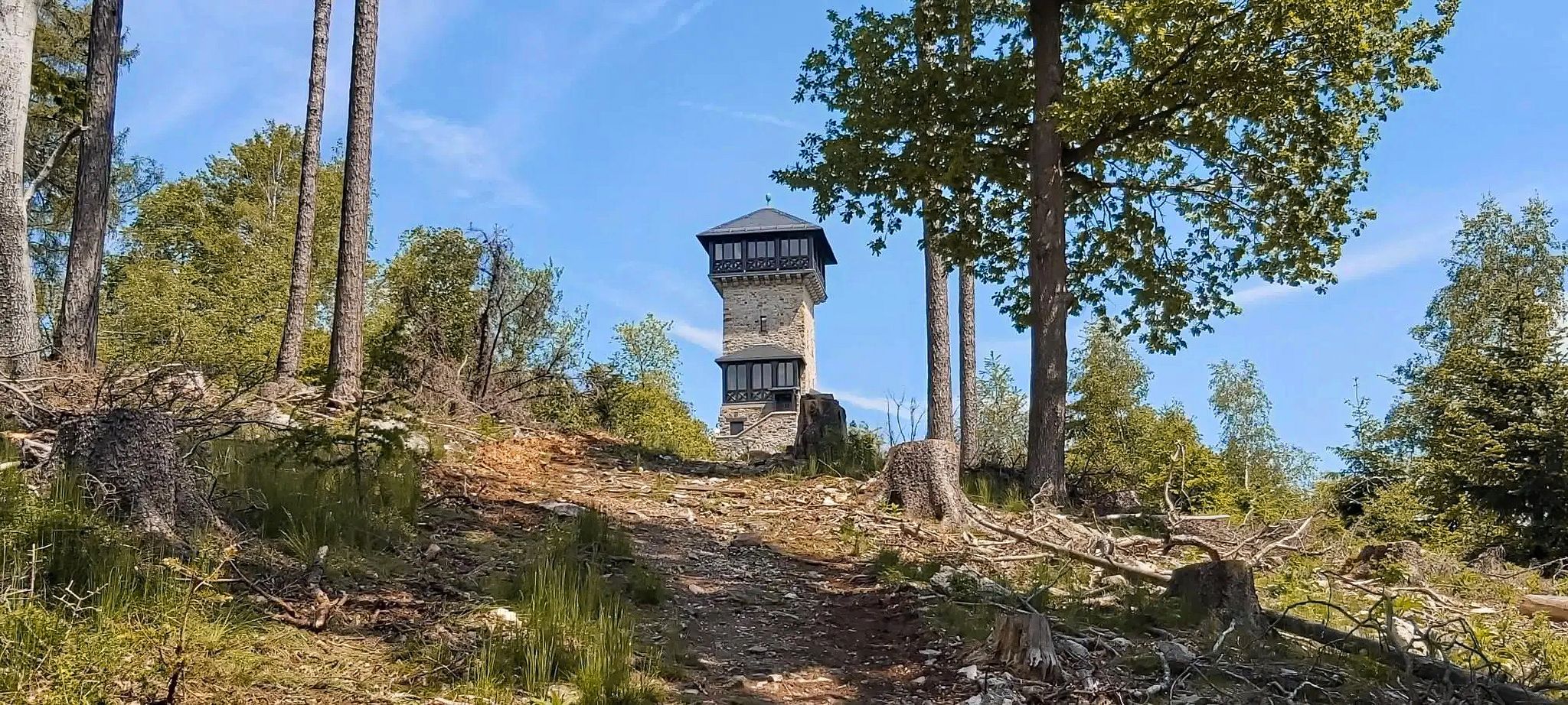
Autumn views: to the most beautiful vantage points in the RMV area

Orchards, vineyards, taverns – hikes in the RMV area

Out into spring – glorious hikes with the RMV
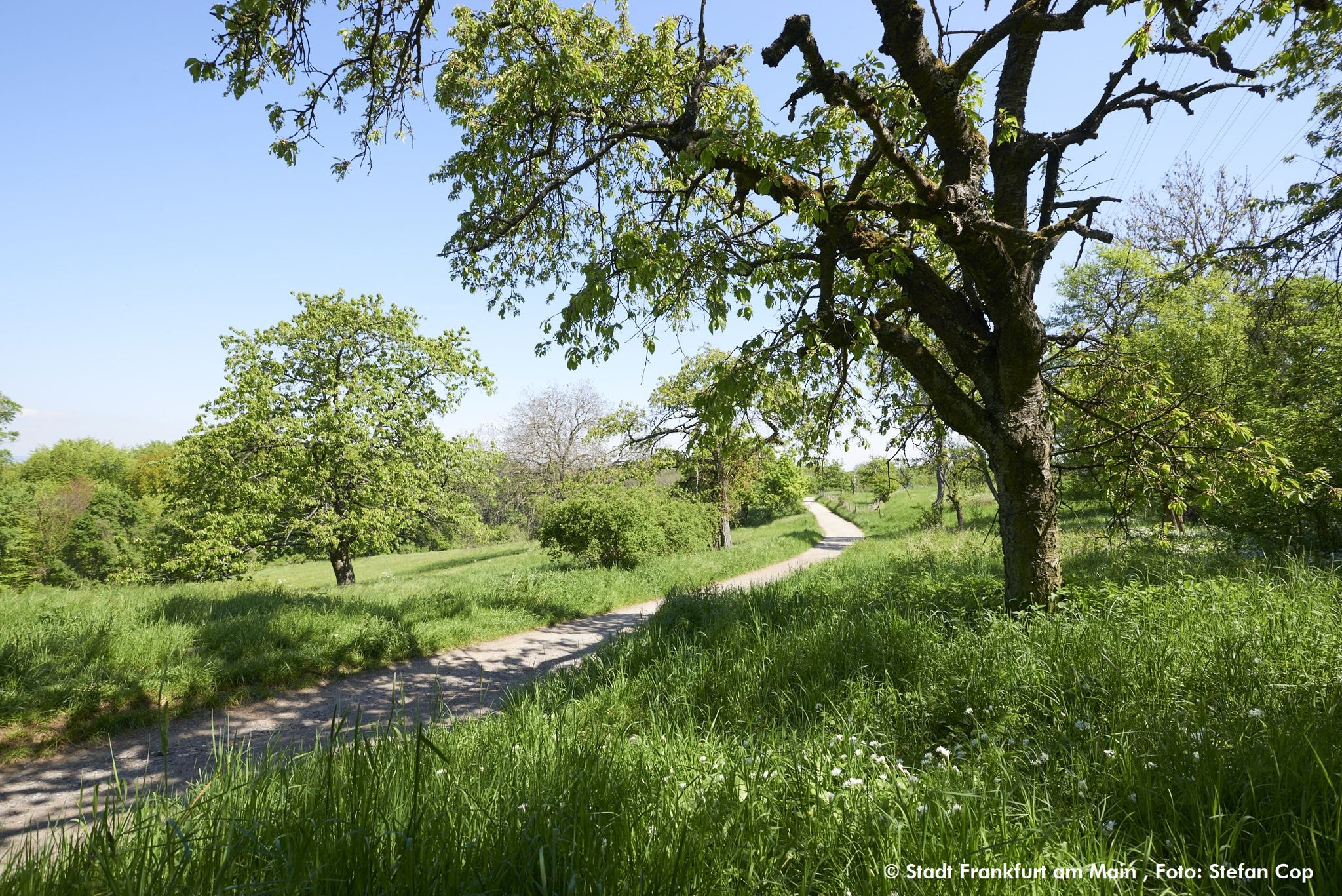
The GrünGürtel circular HIKING trail Frankfurt am Main

Spring is here – hiking with family by bus & train in Rhine-Main

Discover the wintry Rhine-Main region

Goethe, GrünGürtel & big city flair – culture & nature in Frankfurt

By bike and train into the green - cycling Tours around the EUROBIKE
The skyline to half-timbered buildings – Frankfurt to Bielefeld

Bikepacking to road cycling to MTB – on Tour with RMV
Other adventures around Frankfurt am Main


Tips from the Community

Beautiful path! Gladly again!
0
0

From Schneidhain you have a great view of the castle ruins. A sight that is worth it.
1
0

Beautiful castle view, and also you can see the surrounding villages
2
0
Beautiful pond in the city park of Königstein
1
0

Important reminder!
1
0


A beautiful large meadow for many activities.
1
0

Great view of the castle
1
0
Frequently Asked Questions
How many waterfall hiking trails are available around Frankfurt am Main?
There are 8 waterfall hiking trails around Frankfurt am Main listed on komoot. These trails offer diverse experiences, ranging from moderate loops to more challenging ascents, primarily located in the Taunus Mountains region.
Are there family-friendly waterfall hikes in the region?
While the guide focuses on moderate to difficult trails, many sections of the Taunus Mountains, where several waterfalls are located, are suitable for families. For example, the Main Street, Königstein – Billtal Waterfall loop from Königstein (Taunus) is a moderate 6.2-mile path that can be enjoyed by active families. Always check the specific route details for elevation and distance to ensure it matches your family's ability.
Can I bring my dog on waterfall trails near Frankfurt am Main?
Generally, dogs are welcome on hiking trails in the Frankfurt am Main region, especially in natural areas like the Taunus Mountains and the Frankfurt City Forest. It's always advisable to keep your dog on a leash, especially near wildlife or other hikers, and to check local regulations for specific nature reserves. Trails like the Woogtal Pond, Königstein – Billtal Waterfall loop from Königstein (Taunus) are popular among dog owners.
What kind of terrain can I expect on waterfall hikes around Frankfurt?
The terrain on waterfall hikes around Frankfurt am Main is varied. You can expect paths through dense forests, rolling hills, and sometimes rocky sections, particularly in the Taunus Mountains. The region is characterized by its 'green lung' – the Frankfurt City Forest – and the encircling GreenBelt, offering a mix of well-maintained paths and more natural, uneven trails. Some routes, like the Billtal Waterfall – Großer Feldberg Summit loop from Königstein (Taunus), include significant elevation changes.
Are there circular waterfall routes available?
Yes, many waterfall hikes in the region are designed as circular routes, allowing you to start and end at the same point. Examples include the Taunus Ponds – Billtal Waterfall loop from Schneidhain, which is a moderate 10.1-mile loop, and the Main Street, Königstein – Billtal Waterfall loop from Königstein (Taunus). Circular routes are convenient for parking and public transport access.
What is the best time of year to visit the waterfalls?
The best time to visit waterfalls around Frankfurt am Main is typically in spring after snowmelt or heavy rains, when the water flow is strongest and the surrounding nature is lush. Autumn also offers beautiful scenery with vibrant fall foliage. While accessible year-round, winter visits might require appropriate gear for potentially icy conditions, and summer might see reduced water flow during dry spells.
Are there any cafes or places to eat near the waterfall trails?
Yes, some hiking areas, especially those closer to towns like Königstein in the Taunus, offer cafes or restaurants. For example, the In the Gadde cafe is a nearby option. Additionally, the Frankfurt City Forest and areas like Lohrberg, Frankfurt's only vineyard, feature beer gardens and local eateries. It's always a good idea to check opening hours in advance.
What are some notable attractions or landmarks I can see near these waterfall hikes?
Beyond the waterfalls themselves, the region offers several interesting attractions. In the Taunus, you can explore the Königstein Castle ruins or ascend the Großer Feldberg for panoramic views. The Frankfurt City Forest features the Jacobiweiher lake (Jacobi Pond). The wider Frankfurt area also boasts the View of the Frankfurt skyline from the Main River cycle path and the Nidda River Landscape, offering diverse natural and cultural sights.
How long do the waterfall hikes typically take?
The duration of waterfall hikes around Frankfurt am Main varies depending on the route's length and difficulty. For instance, the difficult Billtal Waterfall – Großer Feldberg Summit loop from Königstein (Taunus), at 10.6 miles, typically takes around 5 hours 9 minutes. Moderate trails like the Ascent to Falkenstein Castle – Königstein Castle loop from Königstein (Taunus), which is 5.2 miles, can be completed in about 2 hours 23 minutes.
What do other hikers say about the waterfall trails in Frankfurt am Main?
The waterfall trails and general hiking routes in Frankfurt am Main are highly rated by the komoot community, with an average score of 4.5 stars from over 5,000 reviews. Hikers often praise the diverse natural landscapes, the accessibility of trails from the city, and the well-maintained paths that lead to scenic spots like the Billtal Waterfall. Over 35,000 hikers have used komoot to explore this varied terrain.
Is public transport an option to reach waterfall hiking areas?
Yes, many of the natural areas surrounding Frankfurt, including parts of the Taunus Mountains where waterfalls are found, are easily reachable by public transport. Frankfurt's excellent public transport network allows access to various starting points for hikes, making it convenient for those without a car. It's recommended to check specific connections to your chosen trailhead.
Where can I find parking for waterfall hikes?
Parking is generally available near popular trailheads, especially in towns like Königstein, which serve as gateways to the Taunus Mountains. For example, if you're starting a loop from Königstein, you'll typically find designated parking areas. It's always a good idea to research specific parking options for your chosen route in advance, especially during peak seasons.
Most popular routes around Frankfurt am Main
Most popular attractions around Frankfurt am Main

Get inspired with the komoot mobile app


Explore more
Browse the best Hikes in other regions.
