The best mountain hikes around Frankfurt am Main
4.8
(8)
39
hikers
20
hikes
Mountaineering routes near Frankfurt am Main primarily explore the low mountain ranges surrounding the city, such as the Taunus and Odenwald. The region is characterized by dense forests, rolling hills, and distinctive geological formations like basalt outcrops. While not alpine, these areas offer challenging hikes and rocky sections that require good fitness and sure-footedness.
Best mountaineering routes around Frankfurt am Main
- The most popular mountaineering route is Altkönig Summit Sign – Emminghaus Hut loop from Waldwiesenbachtal von Oberhöchstadt, a 9.4 miles (15.2 km) trail that takes 4 hours 48 minutes to complete, ascending to the Altkönig summit in the Taunus mountains.
- Another top favourite among local mountaineers is Altkönig Ringwall – Altkönig Summit loop from Hohemark, a moderate 6.8 miles (11.0 km) path. This route explores the historical Altkönig Ringwall and offers views from the summit.
- Local mountaineers also love the Anita's Fuchstanz – Großer Feldberg Summit loop from Hohemark, a 13.4 miles (21.6 km) trail leading through the Taunus to the Großer Feldberg summit, often completed in about 6 hours 36 minutes.
- Mountaineering around Frankfurt am Main is defined by dense forests, rolling hills, and basalt formations. The network offers options for various ability levels, from moderate ascents to more challenging routes.
- The routes in Frankfurt am Main are highly rated by the komoot community with an average score of 4.9 stars from over 6 reviews. More than 45 mountaineers have used komoot to explore Frankfurt am Main's varied terrain.
Last updated: October 18, 2026
4.7
(3)
8
hikers
17.6km
05:35
700m
700m
Hard mountaineering route. Very good fitness required. Mostly accessible paths. Sure-footedness required.
2
hikers
Moderate mountaineering route. Good fitness required. Mostly accessible paths. Sure-footedness required.

6
hikers
Moderate mountaineering route. Good fitness required. Mostly accessible paths. Sure-footedness required.
18.9km
05:48
660m
660m
Hard mountaineering route. Very good fitness required. Mostly accessible paths. Sure-footedness required.
5.0
(1)
3
hikers
23.0km
07:13
870m
870m
Hard mountaineering route. Very good fitness required. Mostly accessible paths. Sure-footedness required.
5.0
(1)
3
hikers
22.0km
06:47
750m
750m
Hard mountaineering route. Very good fitness required. Mostly accessible paths. Sure-footedness required.
4
hikers
13.7km
04:00
380m
380m
Moderate mountaineering route. Good fitness required. Easily-accessible paths. Suitable for all skill levels.
5.0
(1)
2
hikers
19.7km
06:21
720m
720m
Hard mountaineering route. Very good fitness required. Mostly accessible paths. Sure-footedness required.
13.9km
04:30
580m
580m
Moderate mountaineering route. Good fitness required. Mostly accessible paths. Sure-footedness required.
1
hikers
3.63km
01:05
110m
110m
Easy mountaineering route. Great for any fitness level. Easily-accessible paths. Suitable for all skill levels.
Get access to more routes and recommendations from other explorers.
Already have an account?
Our route recommendations are based on thousands of hikes, rides, and runs completed by other people on komoot.
Start today with a free account
Your next adventure awaits.
Popular around Frankfurt am Main
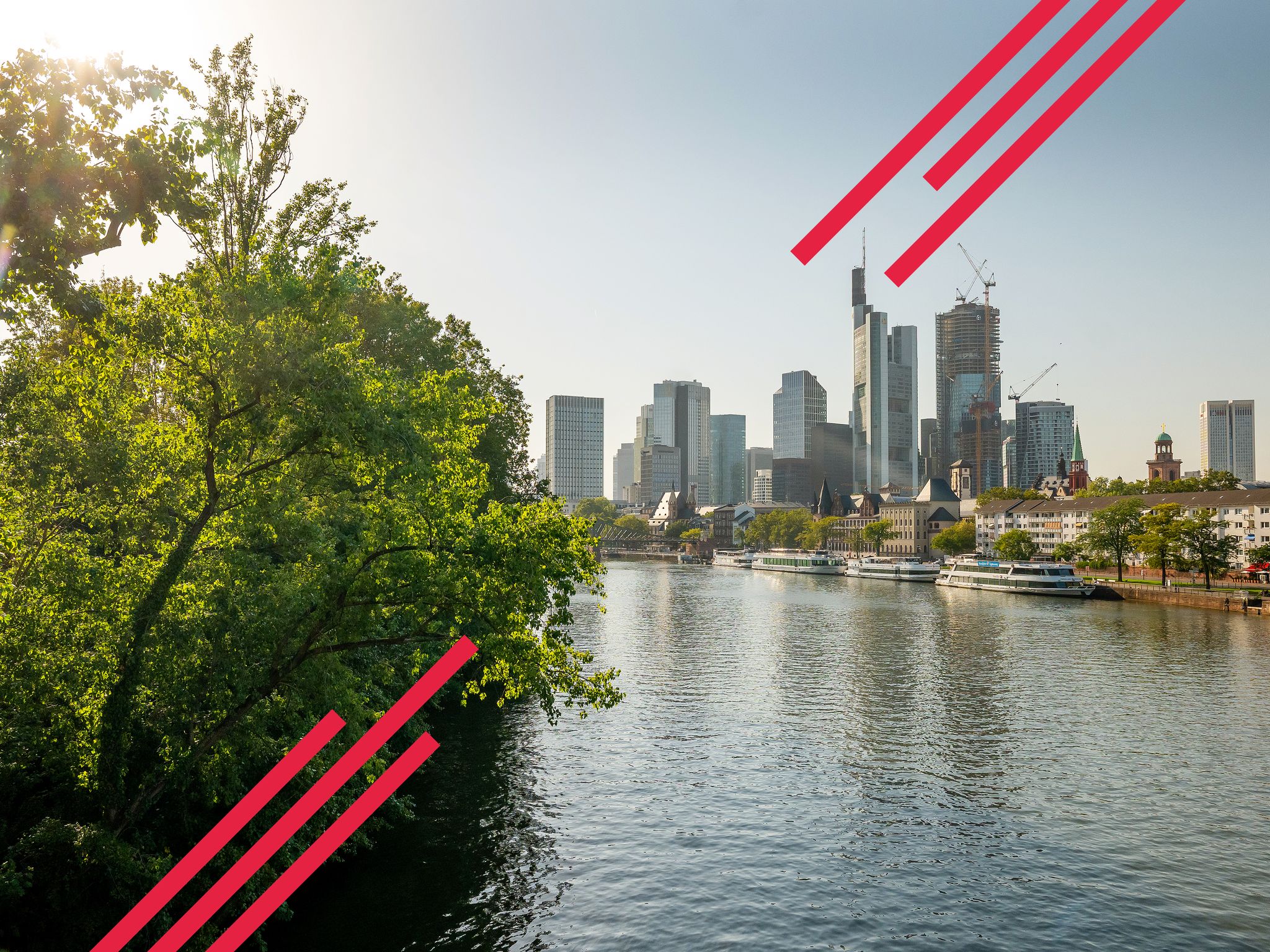
Goethe, GrünGürtel & big city flair – culture & nature in Frankfurt
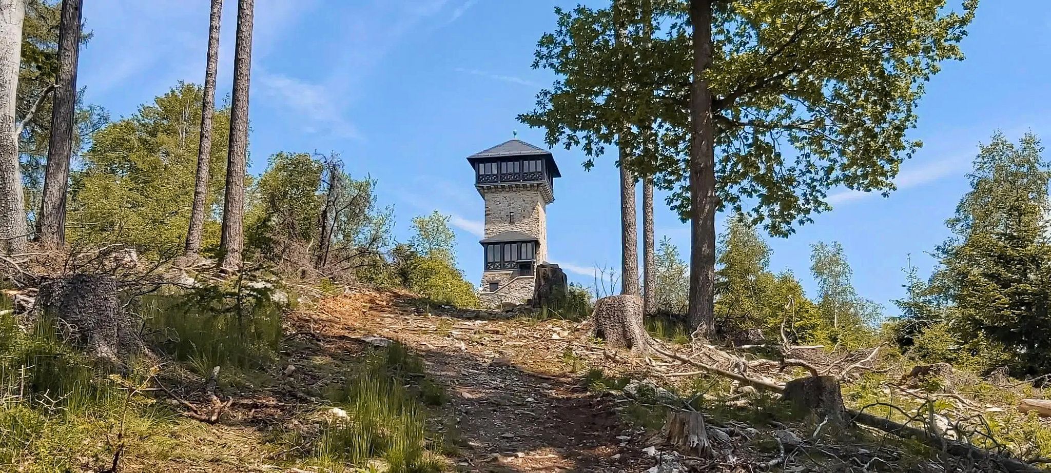
Autumn views: to the most beautiful vantage points in the RMV area

By bike and train into the green - cycling Tours around the EUROBIKE

Orchards, vineyards, taverns – hikes in the RMV area

Out into spring – glorious hikes with the RMV
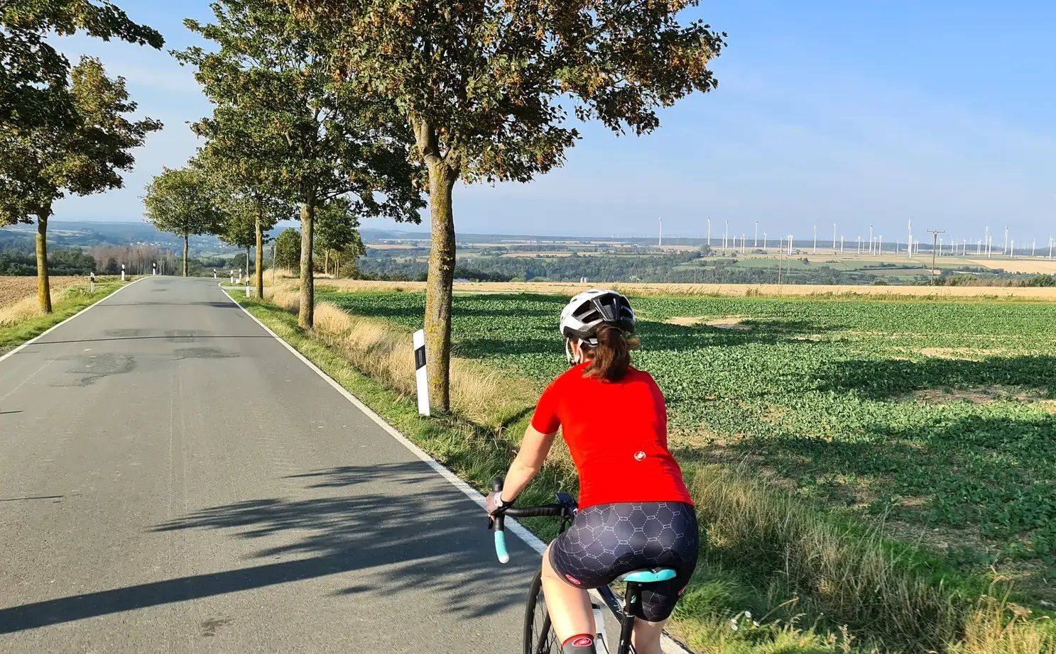
The skyline to half-timbered buildings – Frankfurt to Bielefeld
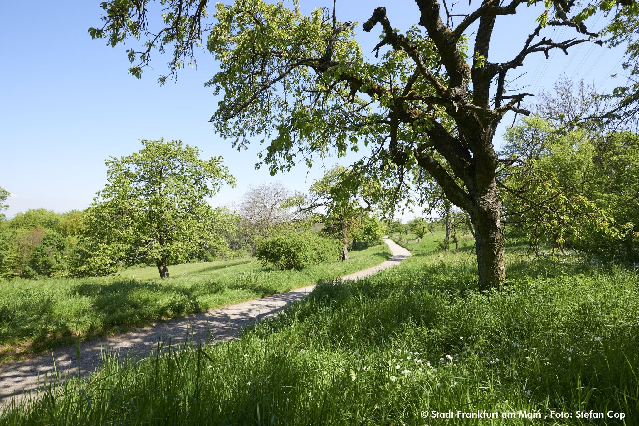
The GrünGürtel circular HIKING trail Frankfurt am Main

Bikepacking to road cycling to MTB – on Tour with RMV

Spring is here – hiking with family by bus & train in Rhine-Main

Discover the wintry Rhine-Main region
Other adventures around Frankfurt am Main


Tips from the Community

Nice little break spot. Many illegal fire pits
0
0

Today I saw the new summit cross. ⛰️
1
0

The White Wall in the Taunus Mountains is a quartzite field formed during the Ice Age on the Altkönig mountain by frost weathering. It lies at a maximum elevation of 634 meters above sea level [1] near Oberursel in the Hochtaunus district of Hesse. The area is designated as a nature reserve 🤩
14
0
Lots of rubble but worth seeing.
1
0


Simply wonderful and delicious climb 😜
1
0
Sneakers not recommended, surefootedness and stability are required here 🤗
1
1
Frequently Asked Questions
How many mountaineering routes are available around Frankfurt am Main?
There are over 20 mountaineering routes around Frankfurt am Main, primarily exploring the low mountain ranges like the Taunus and Odenwald. These routes offer a diverse range of experiences, from moderate ascents to more challenging treks.
What are the different difficulty levels for mountaineering routes in this region?
The routes around Frankfurt am Main cater to various skill levels. You'll find 2 easy routes, 13 moderate routes, and 5 difficult routes. While not high-alpine, the 'difficult' routes often involve strenuous hikes, significant elevation changes, and sometimes rocky sections, particularly in the Taunus, requiring good fitness and sure-footedness.
What do other mountaineers enjoy most about the routes near Frankfurt am Main?
The komoot community highly rates the mountaineering routes around Frankfurt am Main, with an average score of 4.9 stars from over 6 reviews. Users frequently praise the varied terrain, dense forests, and the challenging yet rewarding ascents to peaks like Altkönig and Großer Feldberg.
Are there any family-friendly mountaineering routes near Frankfurt am Main?
While many routes are challenging, some areas like the Taunus Nature Park offer easier sections suitable for families. For a shorter, less strenuous option, consider the Flowtrail Langenhain loop from Bahai Temple, which is rated as easy and provides a good introduction to the region's trails.
Are there dog-friendly trails in the Taunus or Odenwald mountains?
Yes, many trails in the Taunus and Odenwald are dog-friendly, allowing you to enjoy the natural beauty with your canine companion. It's always advisable to keep dogs on a leash, especially in nature reserves or near livestock, and to carry enough water for both yourself and your pet.
What is the best time of year for mountaineering near Frankfurt am Main?
Spring and autumn are generally considered the best times for mountaineering in the region, offering pleasant temperatures and vibrant scenery. Autumn, in particular, provides stunning foliage. While winter mountaineering is possible, be prepared for colder conditions, potential snow, and icy patches, especially on higher elevations like Großer Feldberg.
Are there any circular mountaineering routes available?
Yes, many of the mountaineering routes around Frankfurt am Main are designed as circular loops, allowing you to start and end at the same point. Examples include the popular Altkönig Summit Sign – Emminghaus Hut loop from Waldwiesenbachtal von Oberhöchstadt and the more challenging Anita's Fuchstanz – Großer Feldberg Summit loop from Hohemark.
What kind of natural features or landmarks can I expect to see on these routes?
The routes offer diverse natural features. In the Taunus, you'll encounter dense forests, panoramic views from peaks like Großer Feldberg, and historical sites such as the Roman Limes. The Odenwald features unique geological formations like the 'Felsenmeer' (Sea of Rocks) and picturesque river valleys. You might also pass by highlights like the Jacobi Pond or various forest shelters.
How can I access the mountaineering routes using public transport?
Many areas, especially in the Taunus, are well-connected by public transport from Frankfurt. For instance, the Taunus is often called the city's 'green wall' due to its accessibility. Specific starting points like Hohemark are reachable, allowing you to begin your hike without a car. It's recommended to check local transport schedules for specific trailheads.
Are there challenging routes for experienced mountaineers?
Absolutely. For those seeking a challenge, routes like the Anita's Fuchstanz – Großer Feldberg Summit loop from Kronberg, covering over 22 km with significant elevation gain, offer a demanding experience. These routes often feature steep ascents and rocky sections, particularly around Großer Feldberg and Altkönig, requiring good physical condition.
Where can I find cafes or accommodation near the trails?
You'll find various cafes, pubs, and accommodation options in charming villages and towns located near the trailheads, especially in the Taunus region. Areas like Königstein, Kronberg, and Bad Homburg vor der Höhe offer amenities for hikers. On some routes, you might also encounter forest huts or shelters like the Shelter in Frankfurter Stadtwald or the Ula Walder Stube Shelter.
Are there any less crowded mountaineering routes or areas?
While popular spots like Großer Feldberg can attract crowds, especially on weekends, exploring routes in the wider Odenwald or Spessart forests might offer a more tranquil experience. Even within the Taunus, choosing less-trafficked trails or hiking during off-peak hours can lead to a more solitary adventure.
Most popular routes around Frankfurt am Main
Most popular attractions around Frankfurt am Main

Get inspired with the komoot mobile app


Explore more
Browse the best Mountain Hikes & Routes in other regions.
